Located within Jug Handle State Natural Reserve, the Ecological Staircase Trail is a favorite of area locals who enjoy the rich and varied ecological treasures found here. While Jug Handle, (and the Mendocino coast) is likely a lesser known area among non-bay area dwellers, it has long been a weekend destination for those willing to make the 3.5 hour drive from San Francisco.
(Take it from a local: This drive is WELL worth the time, both for the outdoor opportunities once you reach the Mendocino coast, as well as for the gorgeous drive through coastal Redwoods and lesser known wine country).
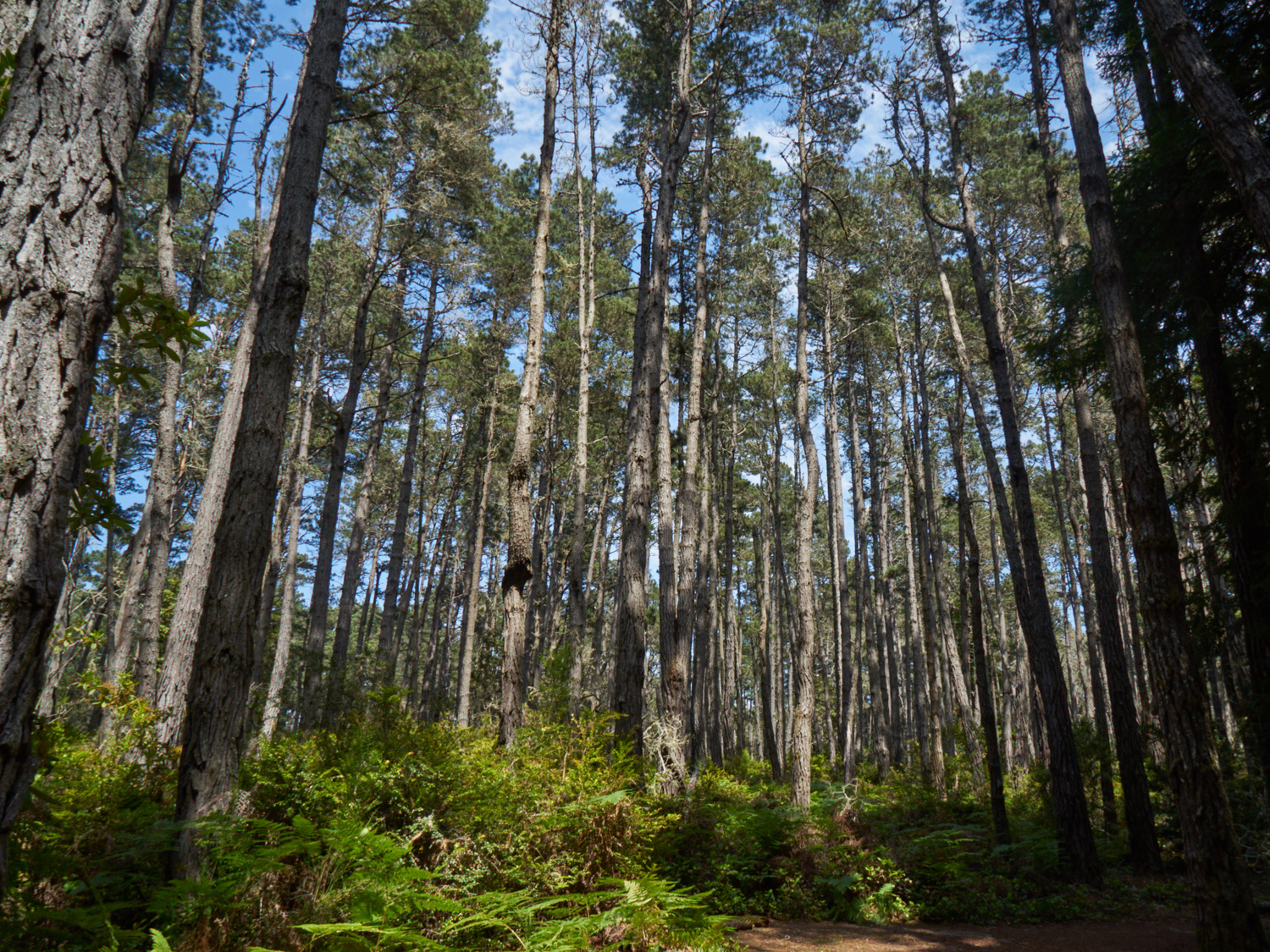
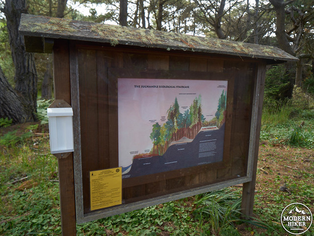
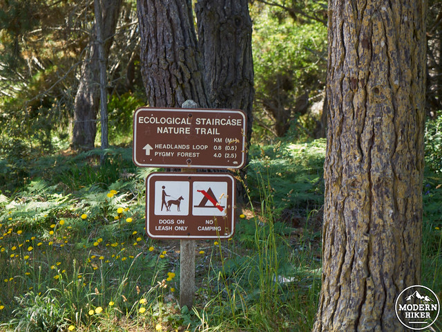
The Ecological Staircase Trail is the only maintained trail within Jug Handle, offering a breathtaking variety of environments within a 5 mile round trip. Traveling from the coast and heading inland for 2.5 miles (5 miles roundtrip), you’ll experience three marine terraces, each of which was formed 100,000 years before the terrace below, as the land underwent tectonic uplift. The lowest terrace consists of prairie; the second is covered with pines; the third supports a unique pigmy forest with knee-high trees possibly several decades old. All this in one hike!
The trail starts at the parking lot, where visitors can obtain a self-guided pamphlet for the Ecological Staircase Trail (note: this box is sometimes empty, but the guide isn’t required for navigation. However, if possible to obtain a guide, it is highly recommended as it provides interesting side information that corresponds to numbered signs along the trail). 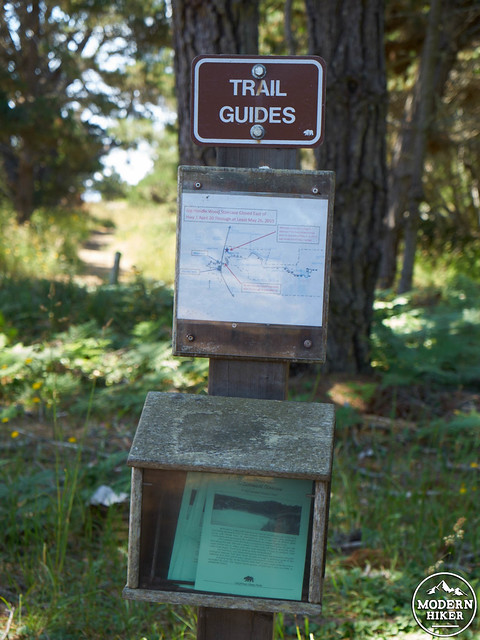
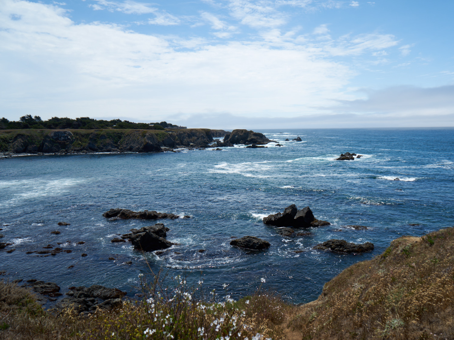
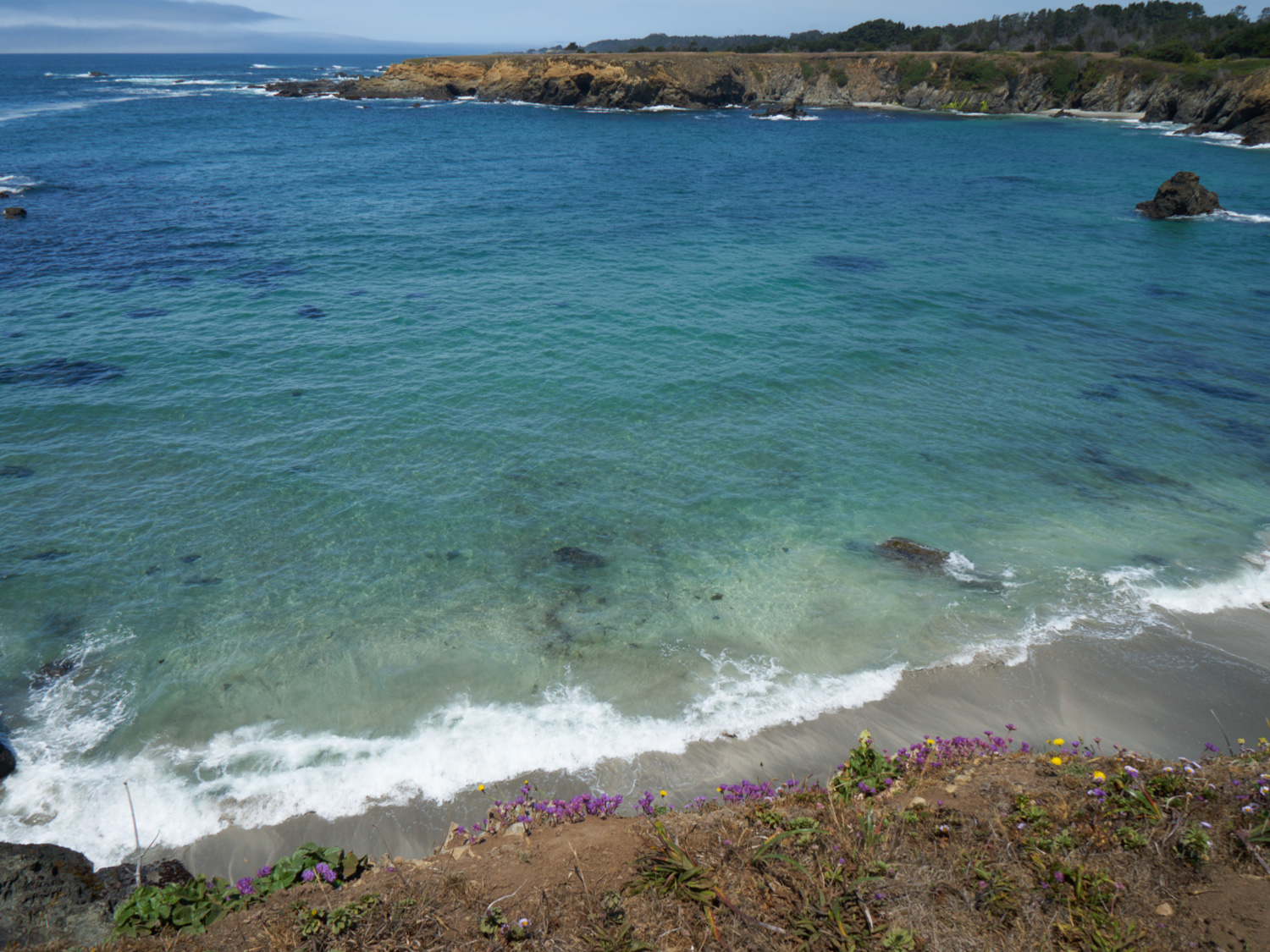
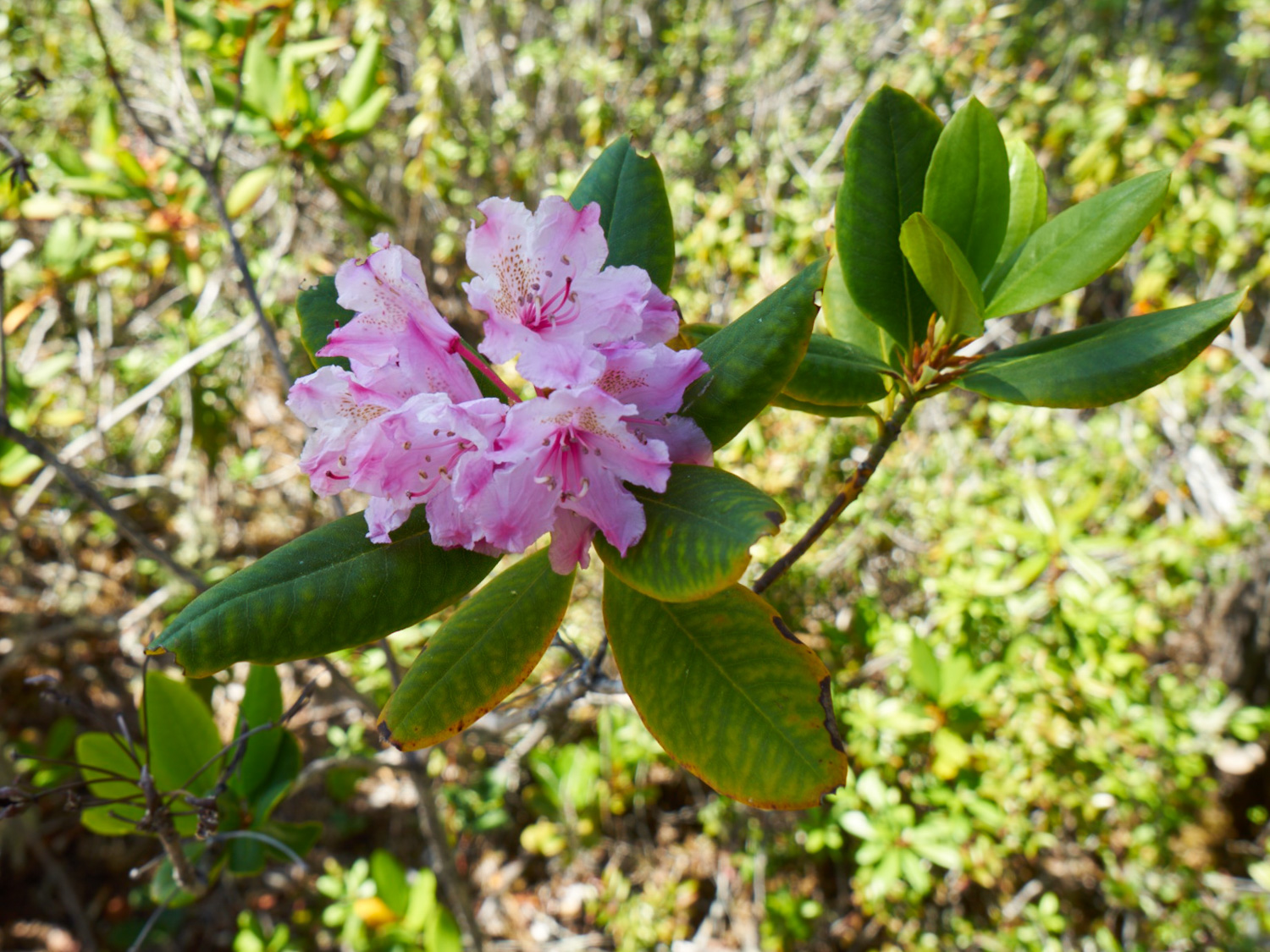
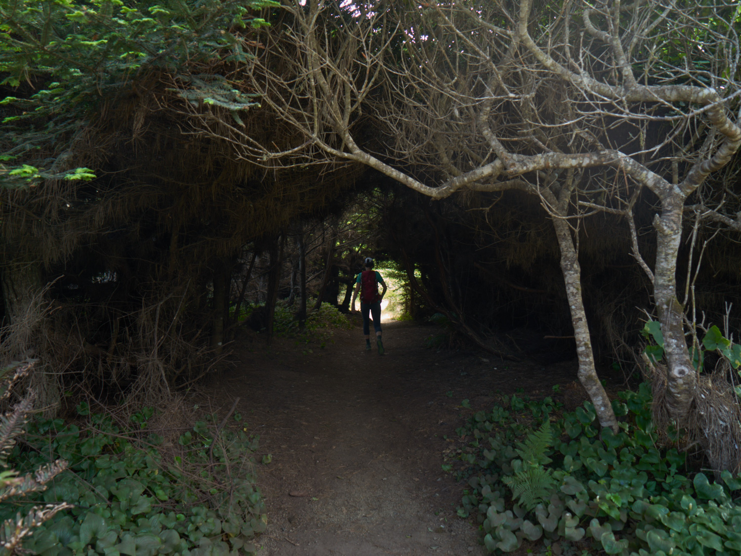
From the parking lot, the trail begins to travel towards the ocean, passing through the lowest (and newest) terrace, locally known as the headlands. Here, three plant communities exist; the North Coast Bluff Scrub, the Coastal Prairie, and the Bishop or Closed-Cone Pine Forest. While the entire terrace was formed at the same time, the different plant communities represent differences in the physical environment. During the spring and summer, the bluffs are doted with native wild flowers.
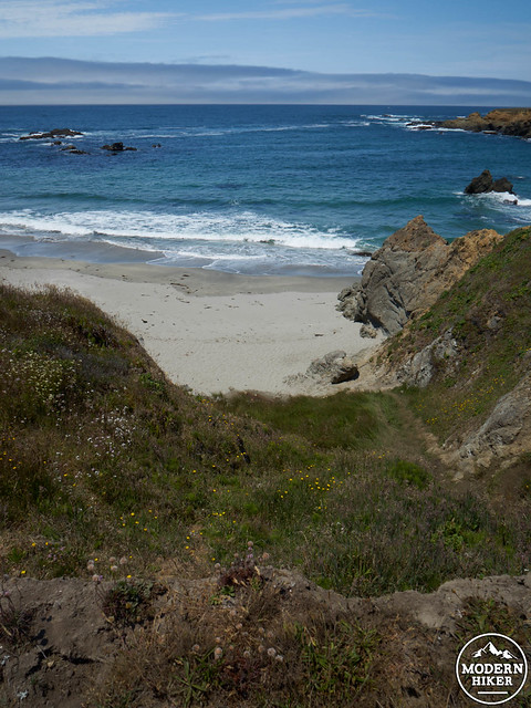
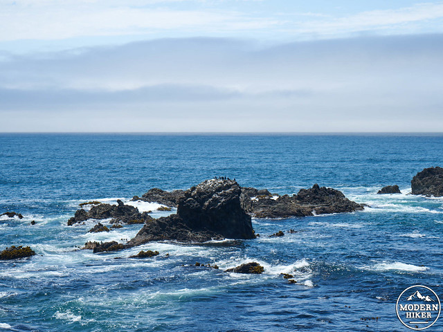
This section of the trail also features amazing coastal views to the north and south, with numerous opportunities to observe sea birds (and even a small sea cave, found at the end of the bluff). As always, hikers should stay on trails, and avoid stepping too close to the fragile edge of the bluffs. On the open bluff, the official trail itself is intersected by numerous side trails inviting small side explorations to visit different vantage points. This is generally encouraged, and don’t worry, you’ll easily find the trail again heading back towards the highway, following the north side of the bluff.
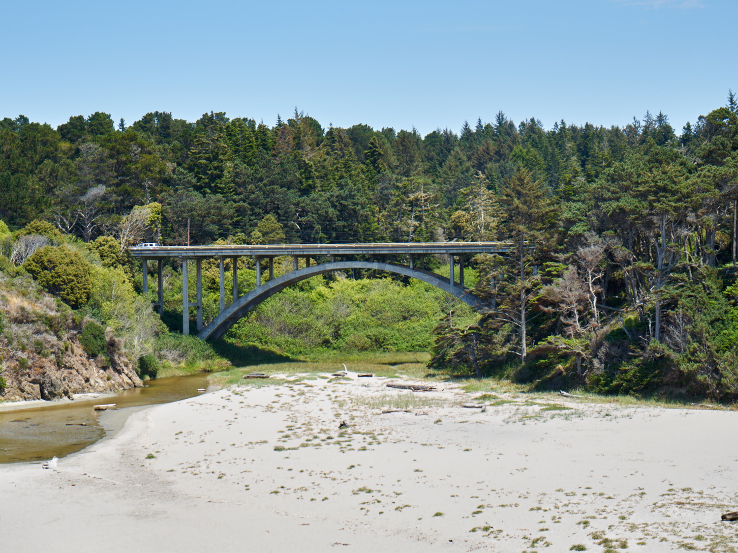
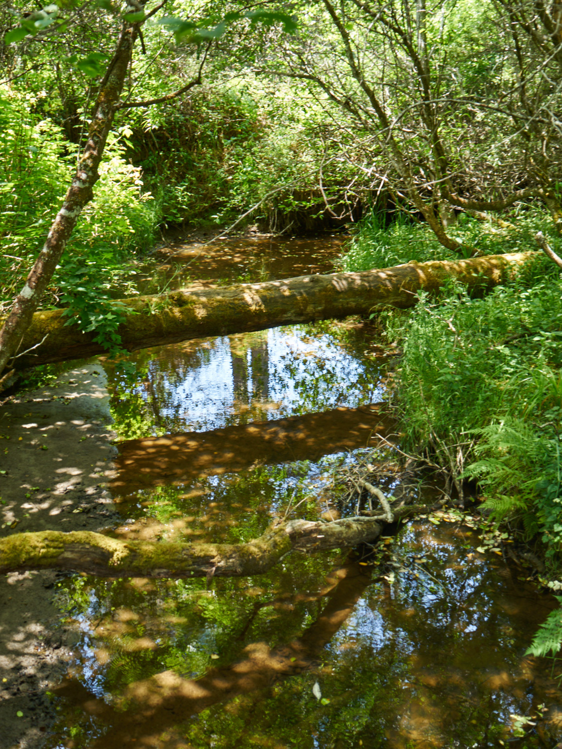
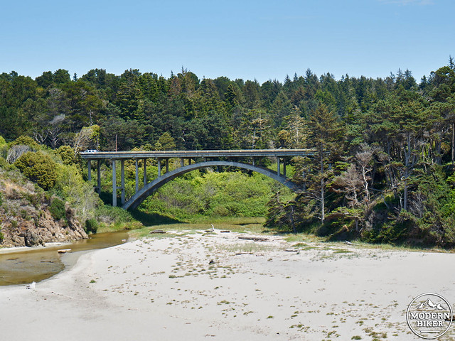
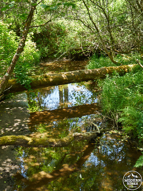
At about .5 miles, the trails begins to leave the bluff, heading towards the highway. At .75 miles, the trail will pass under Highway One. To your left, you can see Jughandle Creek and its small accompanying floodplain.
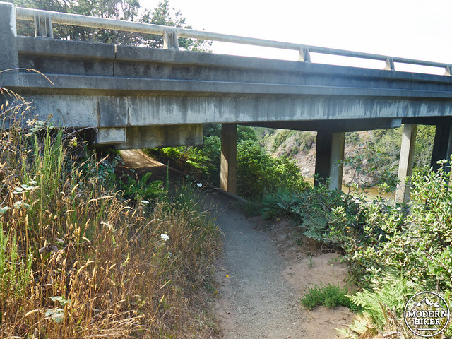
(Note: photo taken on the way back. On your first pass under the bridge, the creek will be at your left).
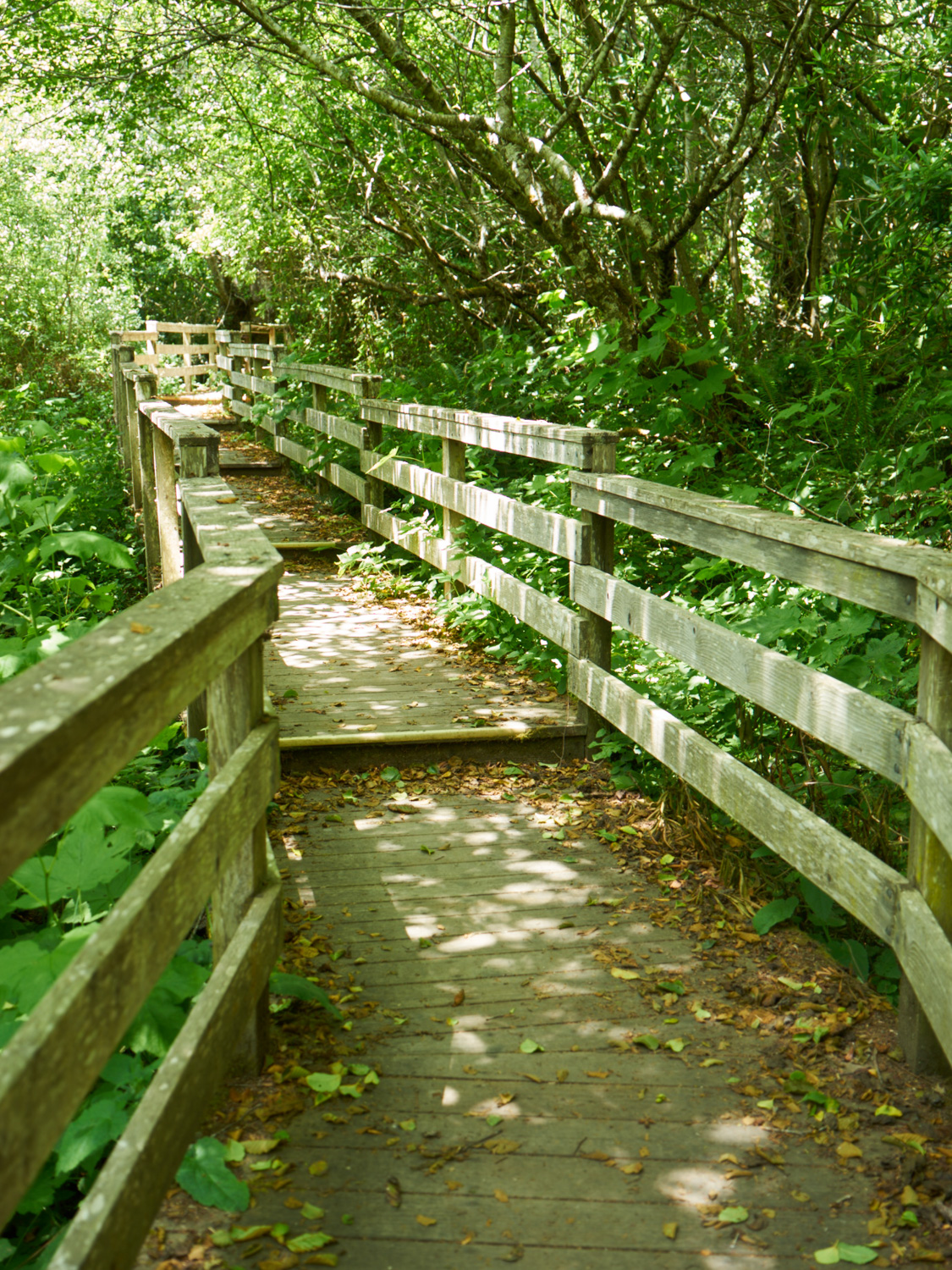
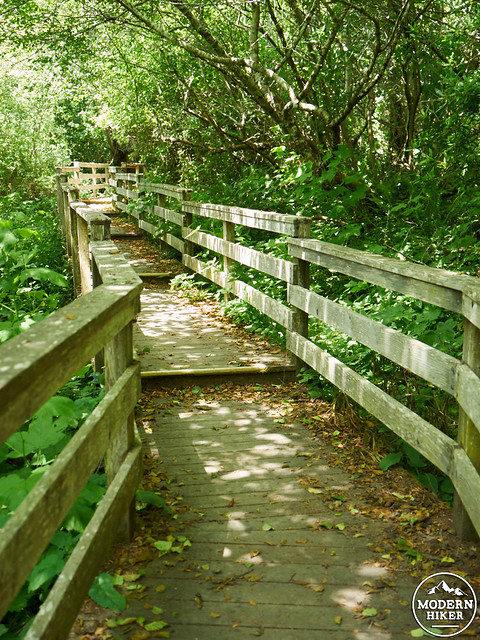
After passing under the bridge, you’ll shortly encounter a newly rebuilt staircase heading down towards Jughandle Creek. Once you’ve reached the bottom, you’ll find yourself in a striking Riparian environment, dominated by green, lush, water-loving plant life. A wooden walkway passes over the creek, and features an interpretive panel.
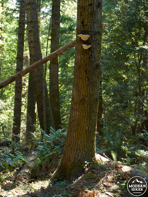
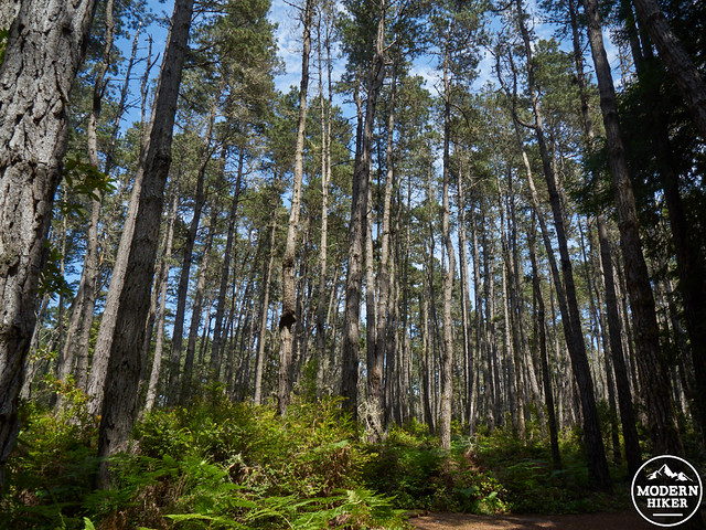
After leaving the creek, the trail gradually heads uphill until roughly 1.5 miles into your hike. You’ll notice the vegetation shift, with a marked increase in Sitka spruce and Grand fir (many of these species are marked on the interpretive guide). This area is also home to numerous blue and red Huckleberry plants, as well as the occasional Blackberry and Thimbleberry, which make excellent summer hiking snacks (for those who can identify the correct plants, of course).
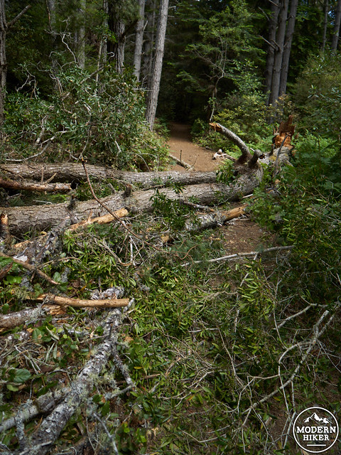
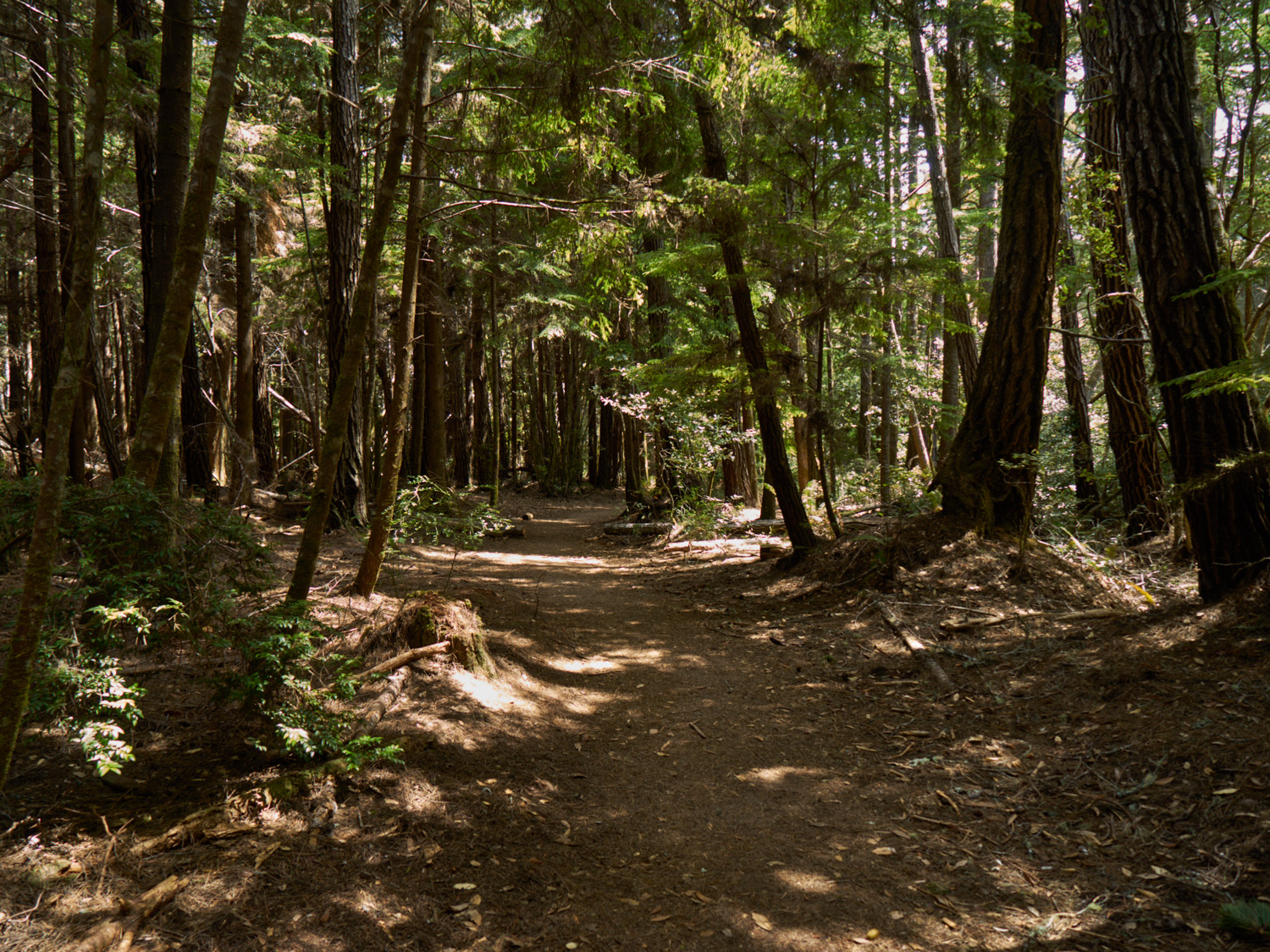
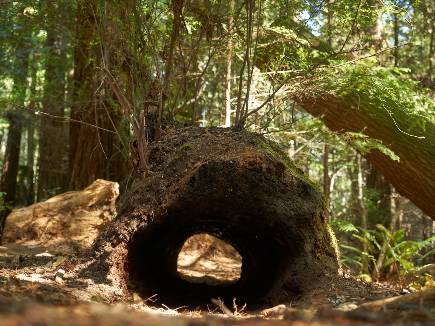
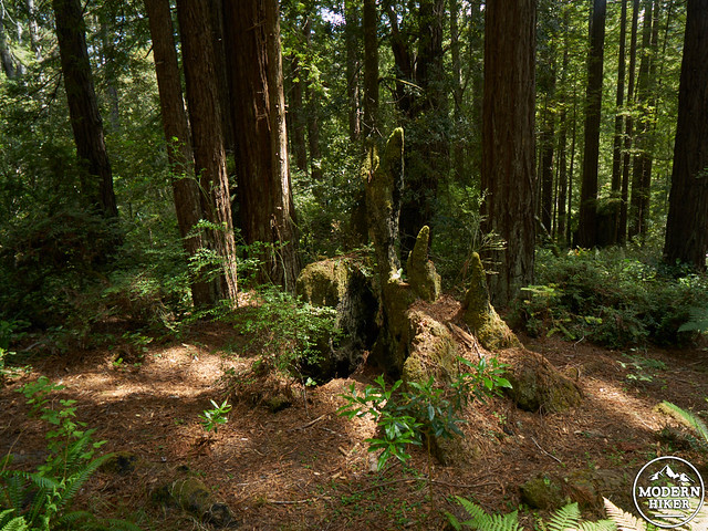
Fallen tree, July 2015. This is easily climbed to continue on the trail
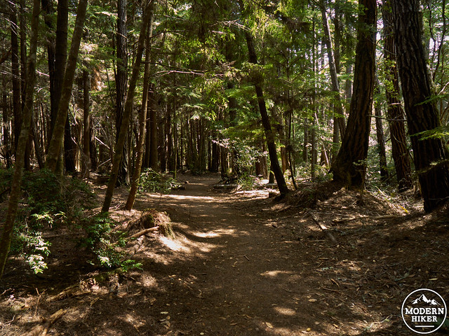
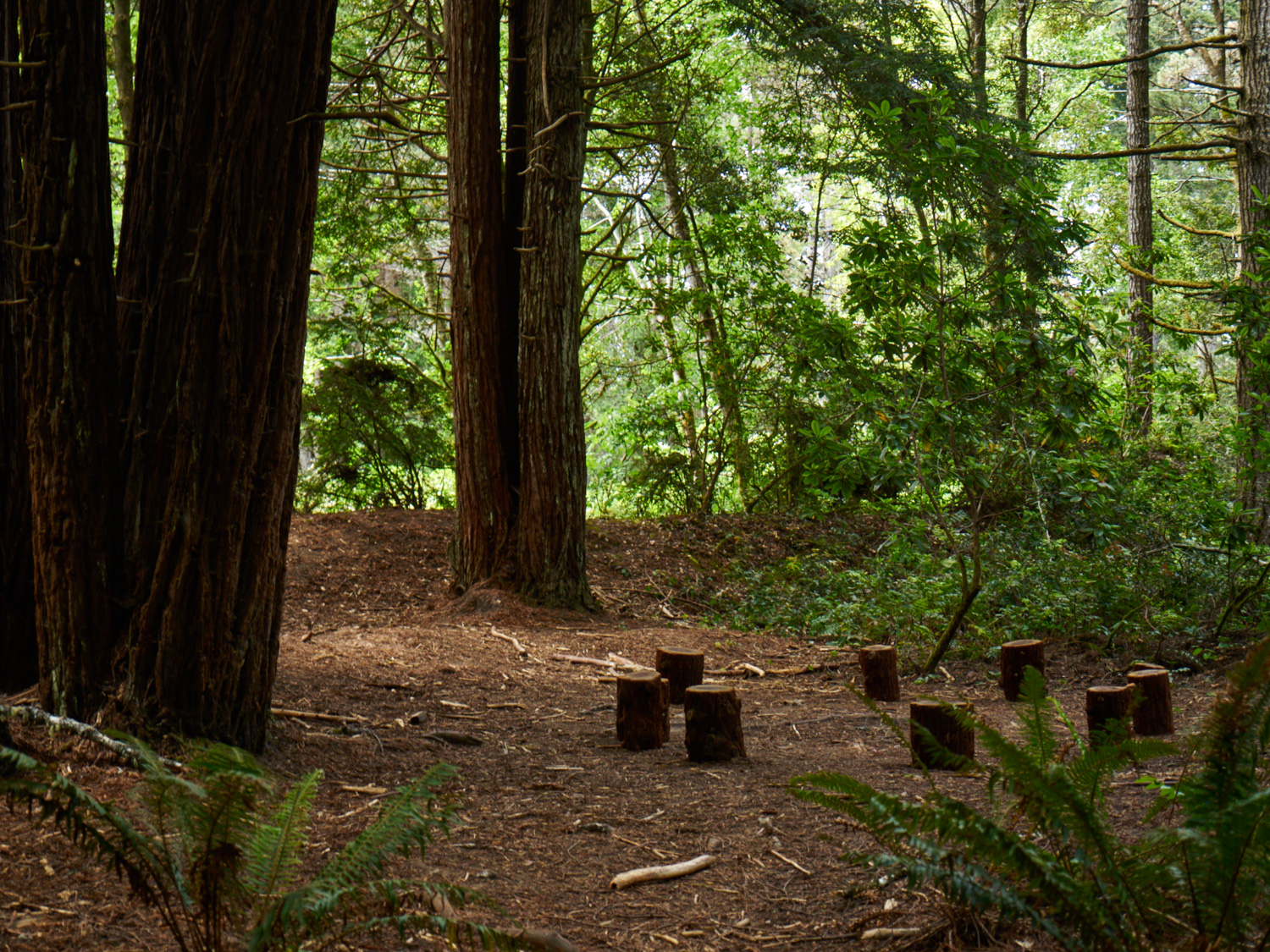
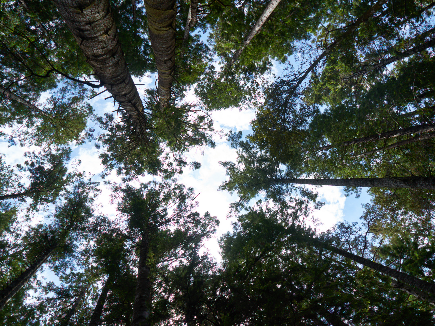
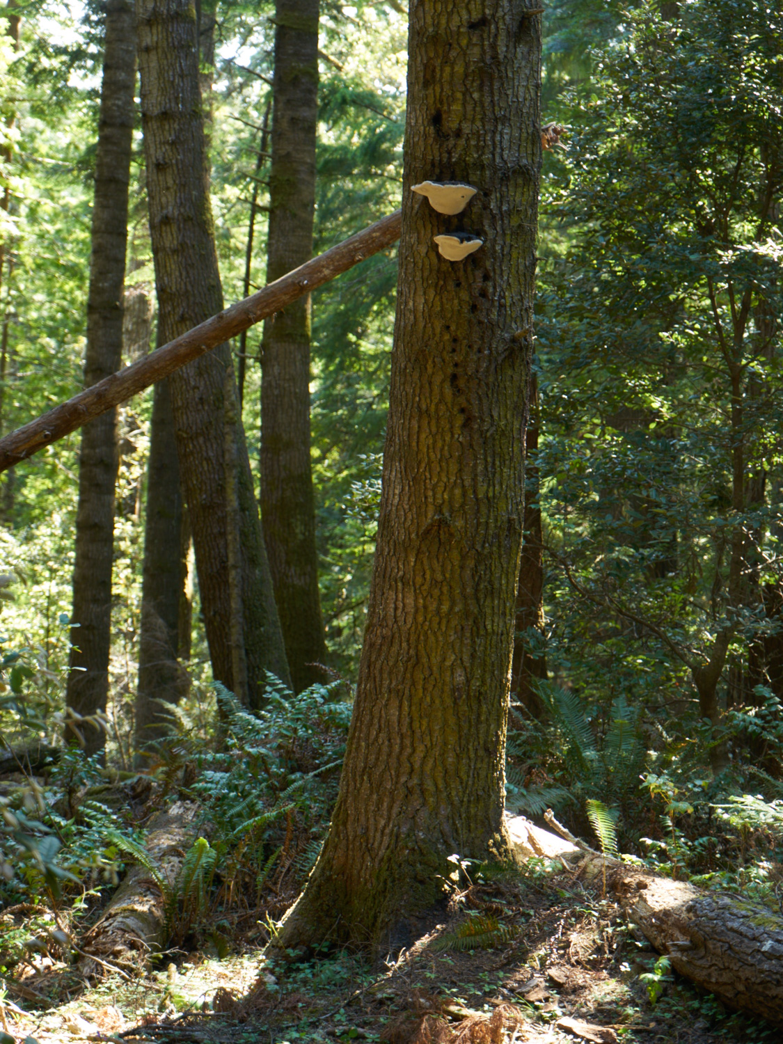
At a little before 2 miles into the hike, you’ll encounter a section of Redwoods, offering breathtakingly beautiful forest views and shade. Numerous mushrooms and sword ferns can be found throughout this area, as well as the perfect lunch stop. During this section, you will cross one of the small tributaries that makes up the watershed of the Jughandle Creek. During the winter, there will often be a stream here, which during the summer is marked by lush moisture loving plants.
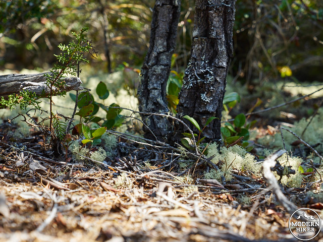
At roughly 2.5 miles, you’ll encounter a large bog to your left, where pygmy cypress grow with an understory of labrador tea (marked by sign 27).
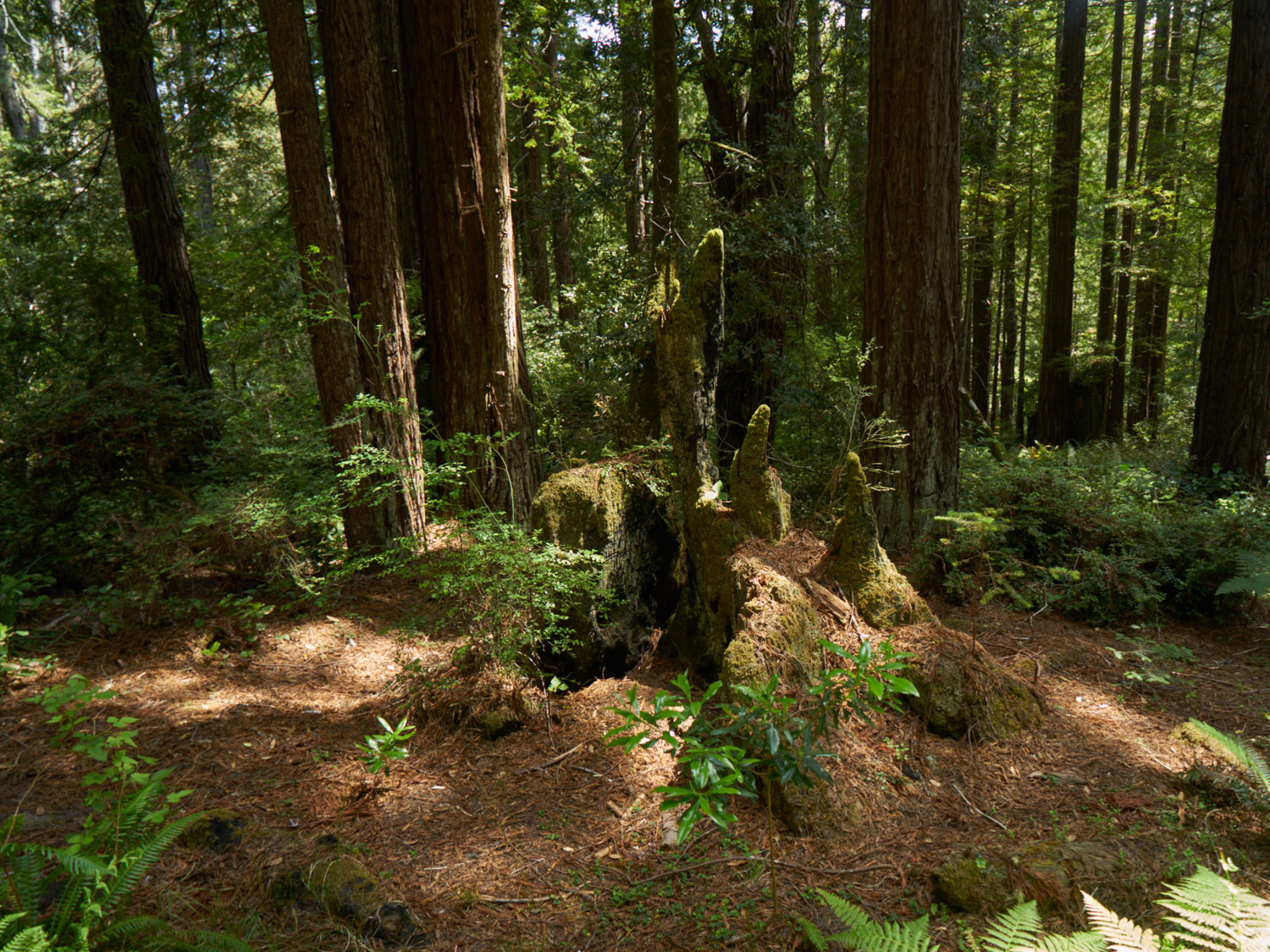
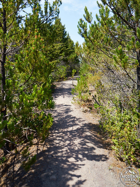
You’ll reach the edge of the pygmy forest at 2.75 miles, where the vegetation will noticeably begin to change. The trees here will be smaller, and the soil will begin to not only change in color but also in firmness. So, what is a pygmy forest? As you might have guessed, it’s a place where the trees and shrubs have been stunted due to poor soil nutrition, thus resulting in little trees! Here’s the extra neat part: The only place in the world that the pygmy forest occurs is in a few isolated patches in northern California. How’s that for interesting? Here, trees that are in fact 100 years old will only reach a few feet in height.

For those nerdy enough to be interested in the ecology and history of the pygmy forest (I know, I’m that nerd too), the soil here is underlain by an iron hardpan, which is found 18 inches below the surface. This, in combination with extremely acidic soil, results in a unique array of plant life found in few other places. In this section, of particular interest are the lichen species, which help prevent erosion by water movement.
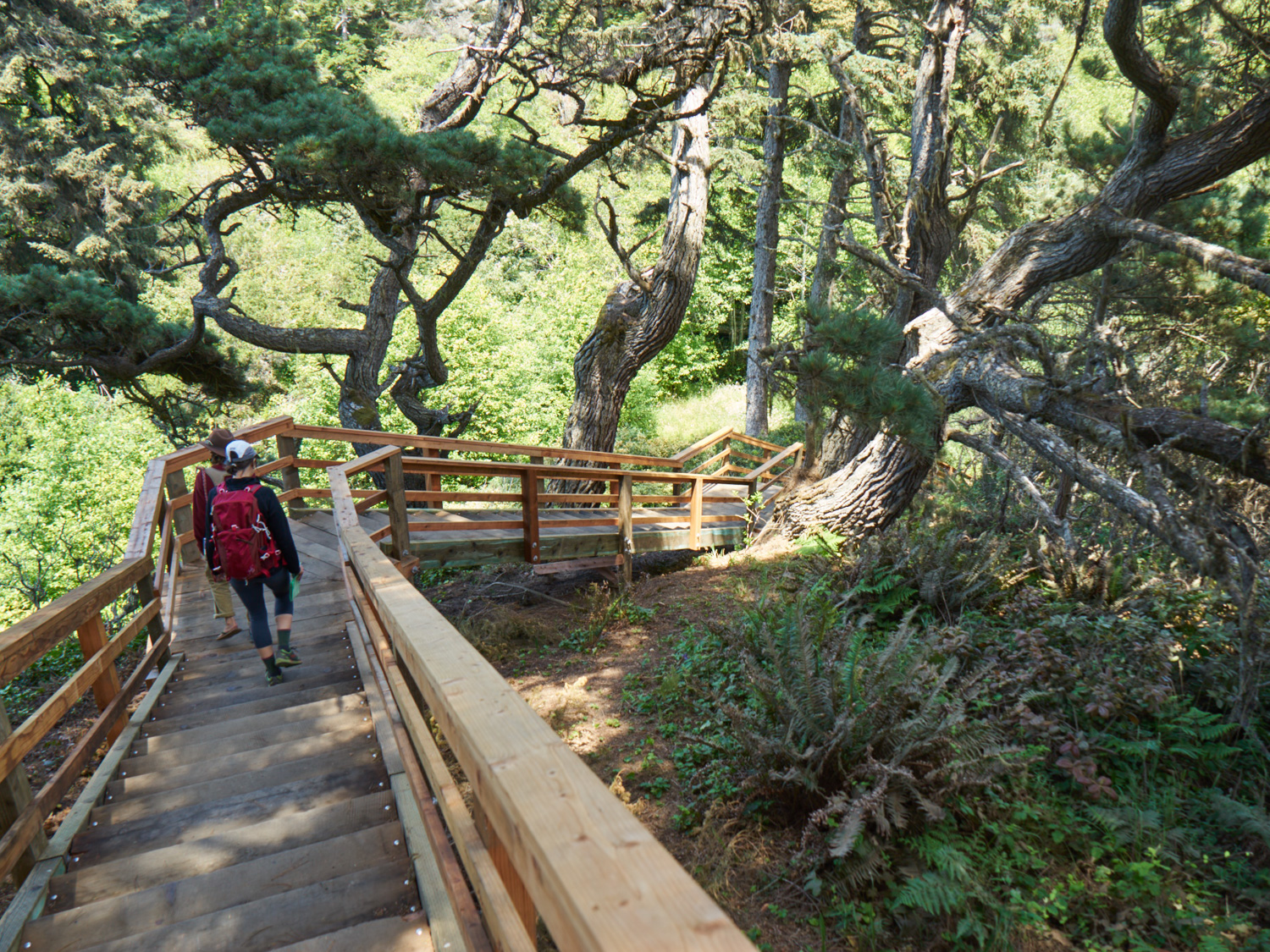
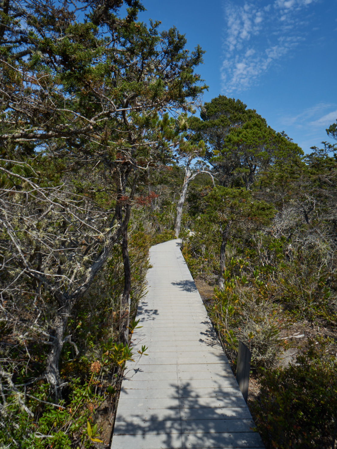
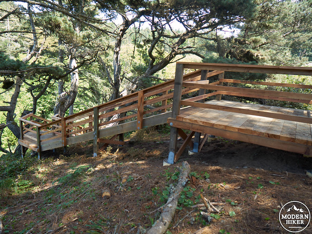
As you travel through this terrace, you’ll notice the attempts to restore sections of this fragile ecosystem, which now is traveled via a fantastic raised walkway. This section can be slightly tricky to navigate for the first hundred or so feet, but hikers can follow clear signage for a short time.
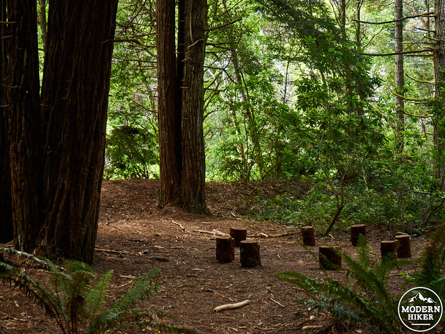
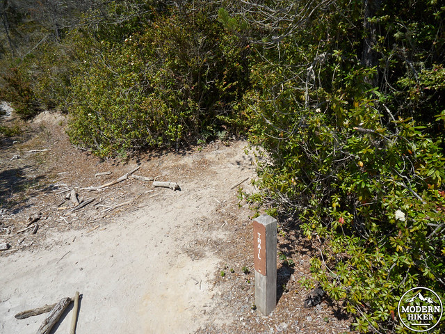
At 2.84 miles,continue straight past a sandy intersection with what appears to be an old logging road. You’ll also head straight through an old wooden gated section. At 2.9 miles, a sign will indicate a right turn, and the start of the raised walkway. It goes without saying, that hikers should stay on the walkway at all times to avoid damaging the fragile soil crust.
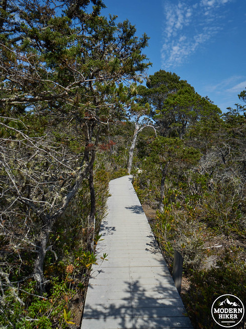
The walkway features a wonderful rest area with benches, the perfect place to enjoy a snack and some water. Continue along the walkway, which will gradually head to the right to make a loop, eventually meeting up with your original trail at the sandy intersection.

Once you reach the intersection, turn to the left, to retrace your steps out of the pygmy forest.
From this point on, you will simply follow the trail back the way you came, hiking for a total of just over 5 miles roundtrip. Be sure to return your trail guide (if they were available), since they can be used again by other visitors.
Things to know:
-This trail makes a wonderful family hike, with no challenging sections or technical skills required. In fact, almost all elementary school children in the local area will eventually visit the pygmy forest on a school field trip.
-There can be mosquitos, especially in the Redwood forest.
-You might experience a fairly wide temperature range. Oftentimes, the coast can be sunny with a cold breeze, whereas the pygmy forest can be much warmer. Sunscreen is especially recommended for this section.
–Jughandle beach is a wonderful place to spend an afternoon. It’s a favorite with the locals!
Tags: california, dog-friendly, Hiking, Jug Handle State Natural Reserve, Mendocino County, northern california, Trail Write-Ups, wildflowers