There are probably dozens of ways to get to the excellent Griffith Park Observatory – one of the most popular attractions in Griffith Park. This route details just one of the well-traveled fire road routes that will take you to its beautifully restored doors.
If you’re approaching the Observatory from below, there are two main trails most people take. Very few trails are actually signed in Griffith Park, but I tracked down an old map that called this – unsurprisingly – the Boy Scout Trail (formerly known as the East Observatory or East Griffith Observatory Trail).
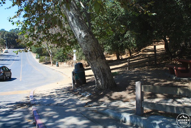
Park your car (or take the Observatory Shuttle on the weekend!) to the intersection of Vermont and Vista de Valle / Commonwealth Canyon Road and walk west on Vista de Valle. At a long row of parking spaces for Greek Theater patrons, you’ll see a shaded picnic table and a broad fire road rising up near a trash bin. This is the start of your trail.
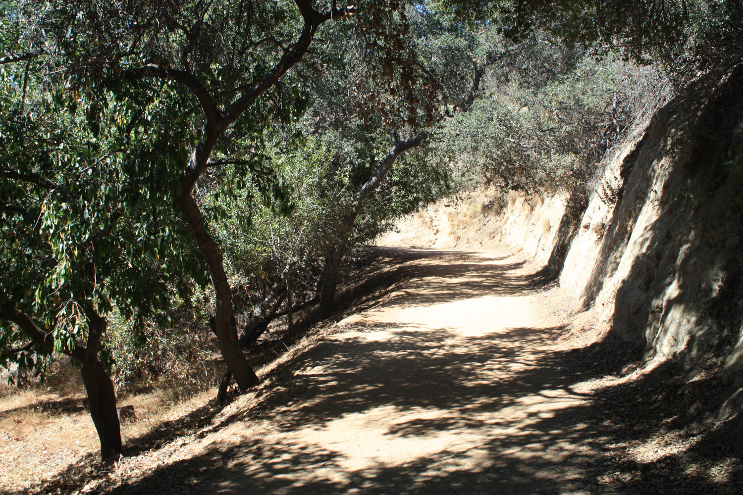
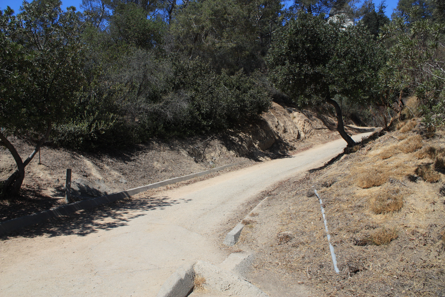
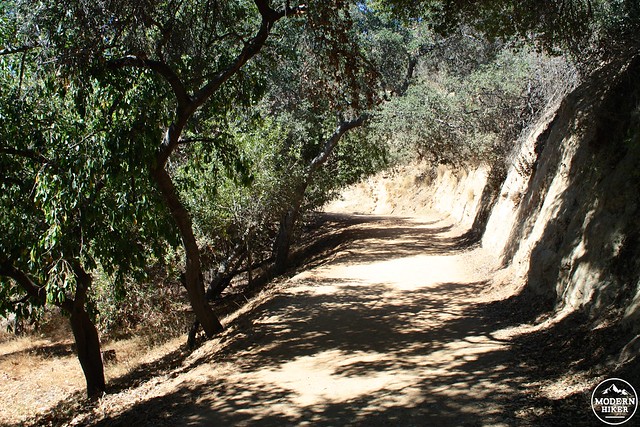
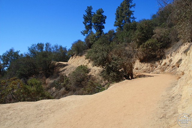
This route is broad, open, easy-to-follow and not that difficult, but it does gain a little over 100 feet of elevation in the first 0.13 miles so you may find yourself feeling it a bit more than you thought you would.
The fire road begins in the shade but that first section is all the protection from the sun you’re going to get here – as is the case with most trails in Griffith Park, this one’s full sun most of the way.
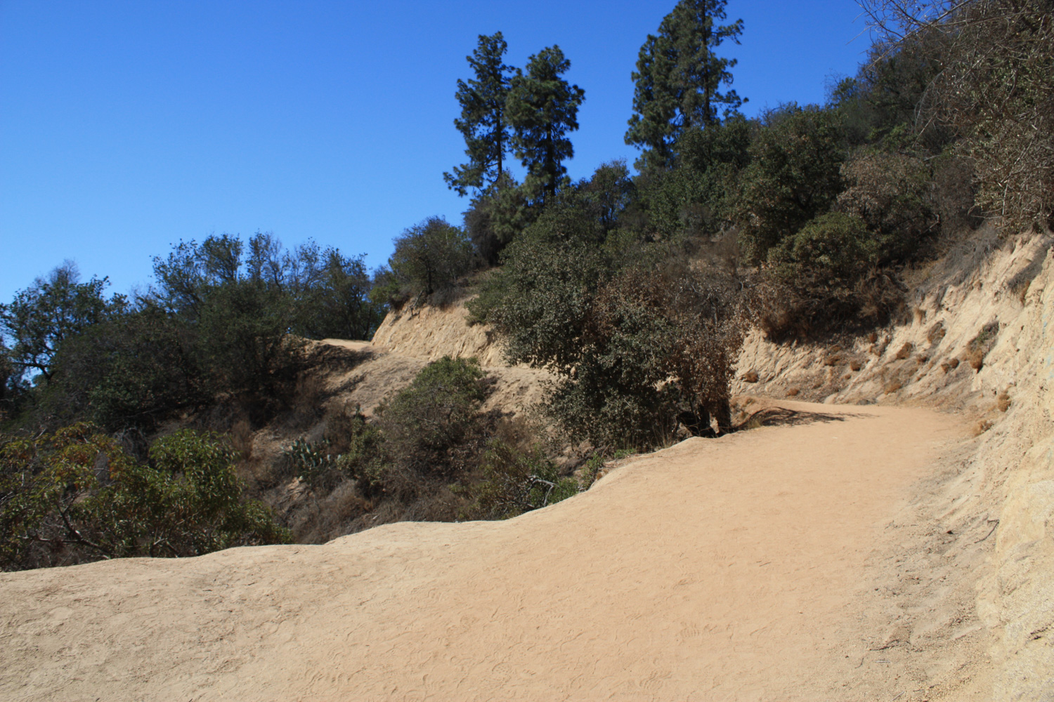
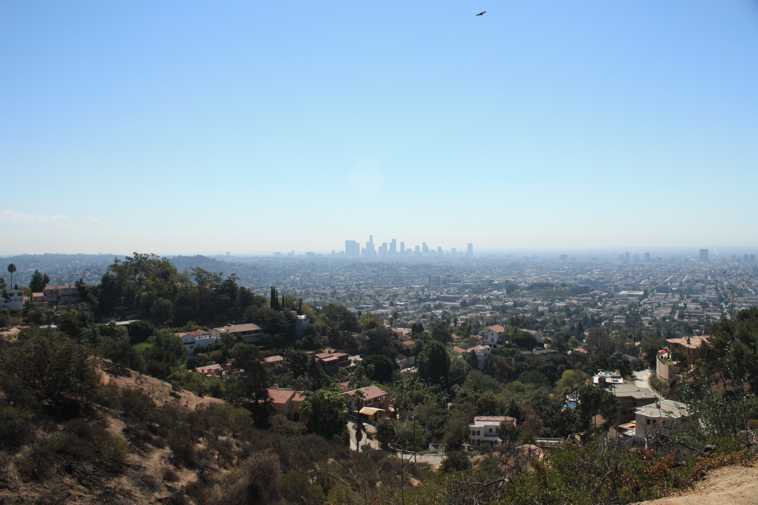
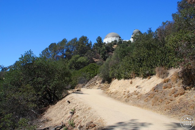
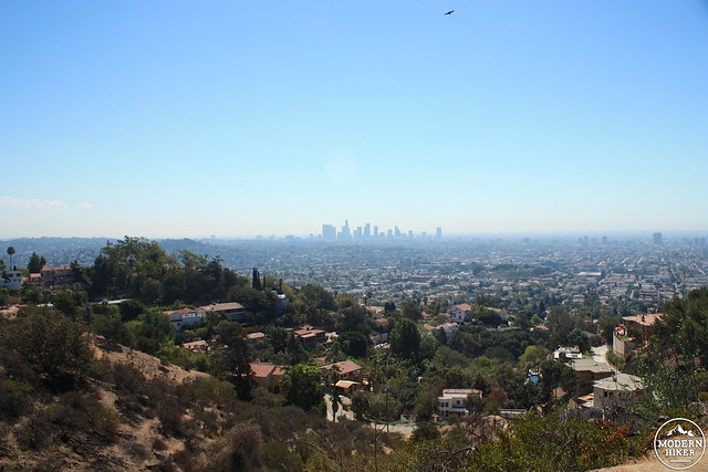
Around the quarter mile mark, you’ll start to get some very nice views of the Los Angeles basin to your south, just as the domes of Griffith Observatory start peeking up from behind the trees.
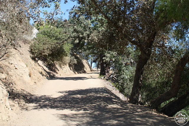
At the 0.4 mile mark, the fire road meets an old paved road. You can either cut through the brush on a use-trail or just make a short shift to the north on the pavement before rejoining the fire road.
In another tenth of a mile, the trail meets up with several other paths to the Observatory. From here, keep a sharp right and continue heading up the fire road to the front of the Observatory.
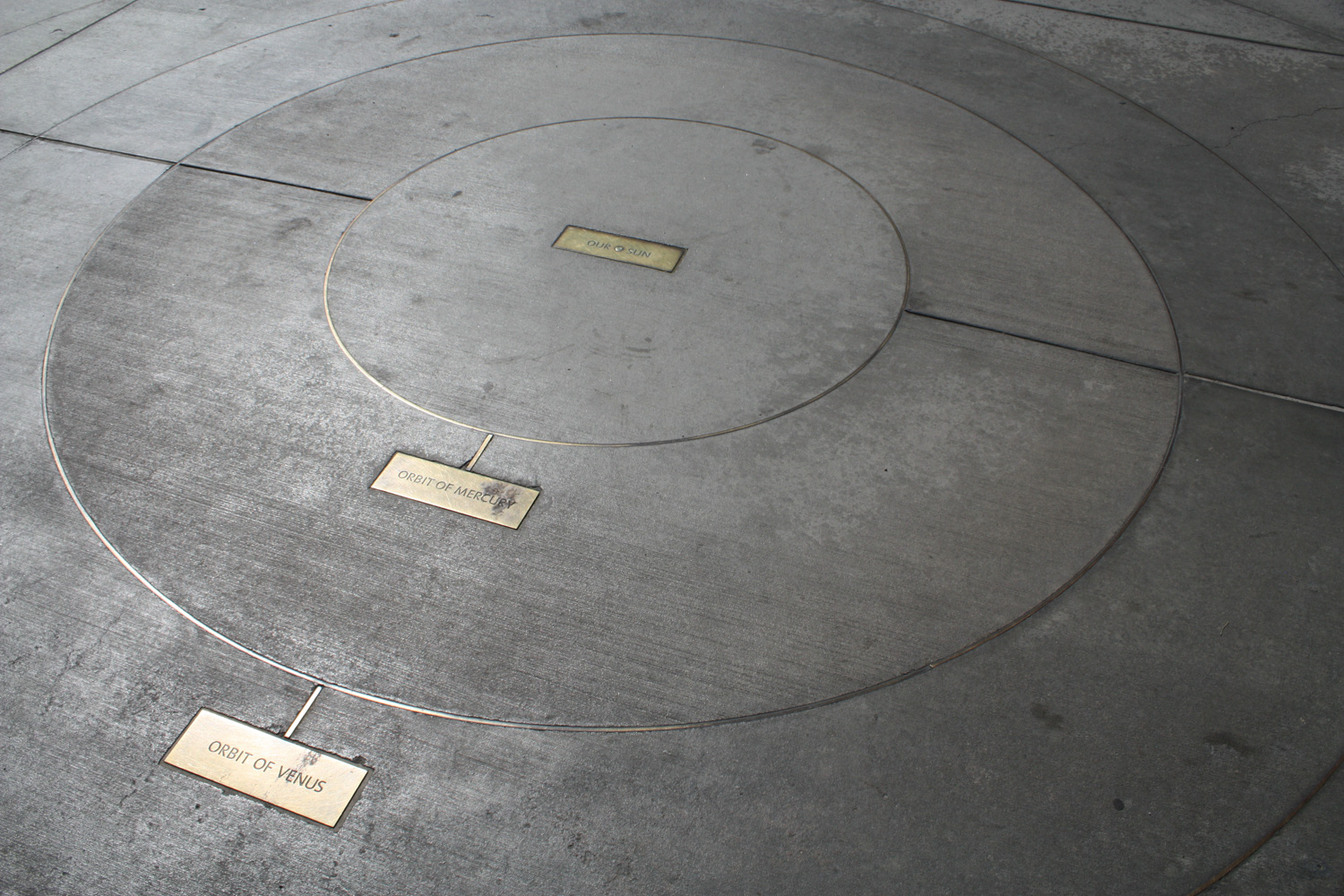
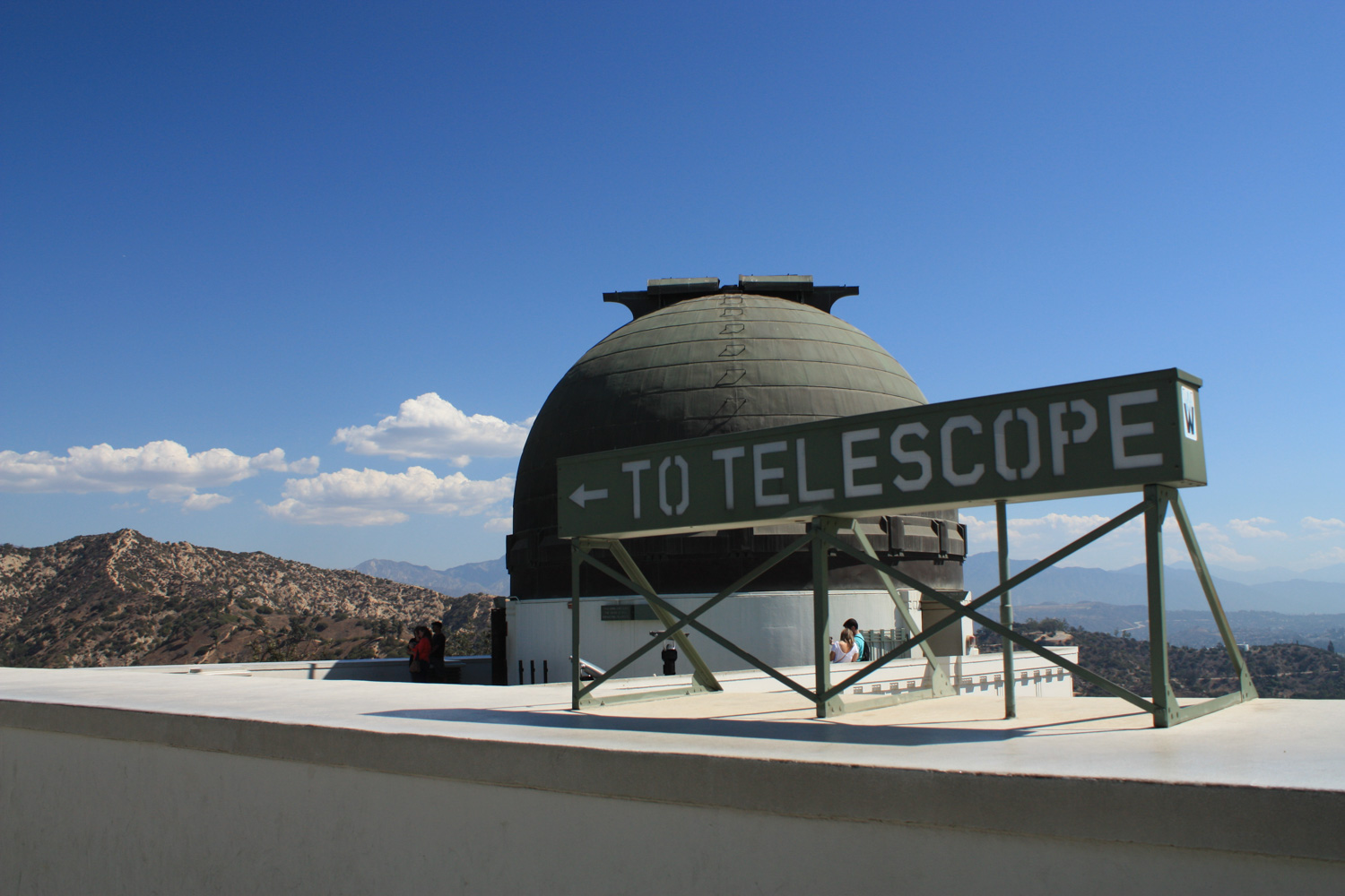
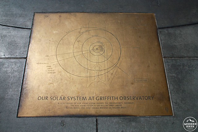
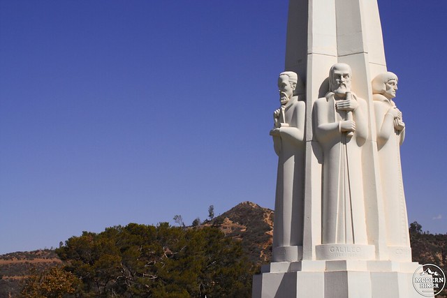
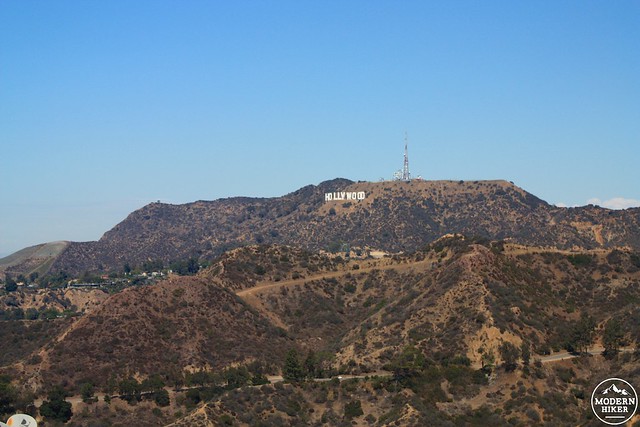
From the front of the Observatory, enjoy the beautiful (and recently restored) art deco architecture, the views of the Hollywood Sign, the statue memorial to James Dean, or the map of the solar system embedded in the ground beneath your feet.
There are almost always killer views to be had from the Observatory – and visiting the museum’s interior is free (only planetarium shows cost money). There are often events at the observatory as well, including night hikes, star talks, and lots of other ways to get your learn on in a beautiful setting.
If you’re still in the mood to hike, there are also plenty of other options – you can continue north toward Berlin Forest, trek up to Mount Hollywood or do a full loop back to your parking lot passing Dante’s View and Glendale Peak, or trek down to the Fern Dell area on the West Observatory or Firebreak Trails. You’re never too far from a trail in Griffith Park!
Note: On Saturdays and Sundays (certain holidays excluded), the DASH Observatory Shuttle operates inside Griffith Park and will drop you off at the Greek Theater / corner of Vermont and Commonwealth Canyon Drive. You can board the shuttle at several stops in the Los Feliz Neighborhood or directly from the Metro Red Line Vermont/Sunset stop. During the week, the Metro 180/181 bus stops at Vermont and Los Feliz Boulevard.
Tags: east observatory trail, griffith observatory, Griffith Park, transit accessible