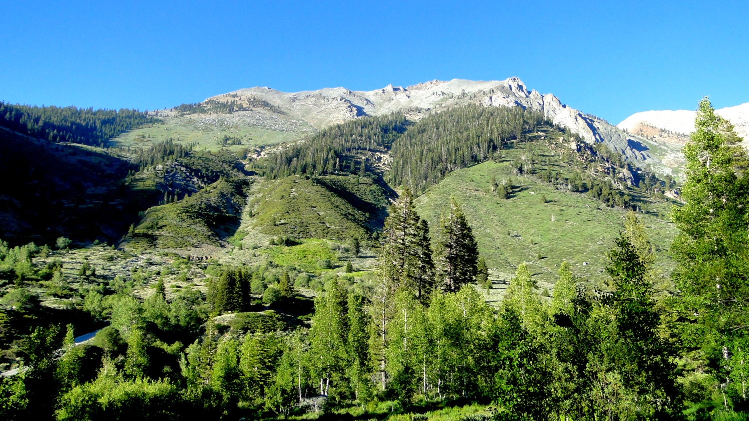
One of the most beautiful trails in Mineral King is also one of the most unassuming. The Cold Springs Nature Trail travels through lush meadows and stands of aspen and cottonwood near the banks of the East Fork River. Despite being only 1.25 miles from the Cold Springs Campground to the Eagle-Mosquito parking lot, Cold Springs has a lot to offer on both the intimate level, the grand level, and even the historical level.
This region of Mineral King was once the site of a small town known as Beulah, along with attendant mining and smelting operations. Mineral King’s name harkens back to its mining history, and the terrain through which the Cold Springs Nature Trail passes once hosted the epicenter of its mining activities. In 1906, the San Francisco earthquake set loose an avalanche that buried the town of Beulah and destroyed most of the mining operations. While the mining eventually faded away, habitation on the Beulah site has not, and you will see a number of old privately owned cabins. Each features the name of the families who have owned the cabins, along with the year the cabin was built. It’s not common to see habitation on National Park lands, but as the Mineral King area was incorporated into Sequoia National Park long after the residences were established, the Park Service has allowed the cabins to remain.
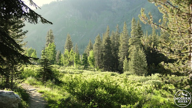
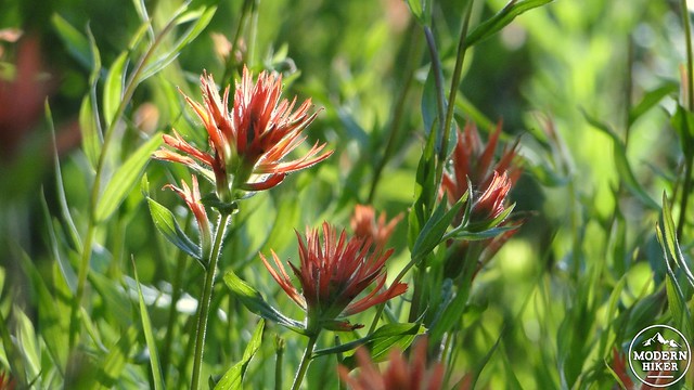
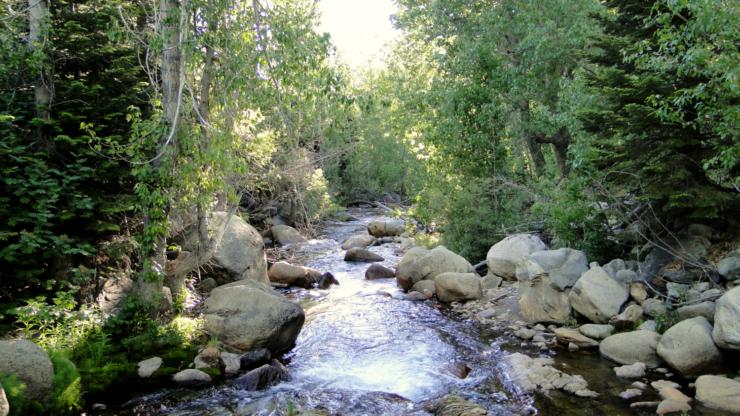
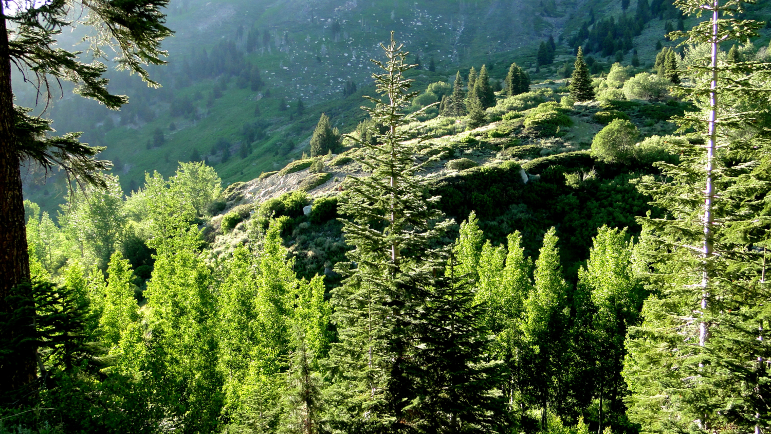
The rest of the trail travels through some of the most lush mountain scenery in the Sierra Nevada range. The combination of the river, ideal elevation for maximum precipitation, and favorable slope aspect means that the Cold Spring trail segment is full to the brim with wildflowers, deciduous trees, conifers, trickling streams, lush meadows, and, of course, cold springs. Here and there, you will find stands of lodgepole pines and red firs, while the drier spots have thick growths of fragrant sagebrush. A lot of the plants found here, especially the aspens, sagebrush, and lodgepoles, are reminiscent of Montana, and this part of the valley reminded me of Big Sky country on several occasions.
The trail begins at either the Eagle-Mosquito Trailhead or within the Cold Springs Campground. The Cold Springs Campground is probably the preferred starting point, since starting from here on an evening hike assures that you’ll be walking back into the sun when the light is nicest (which I recommend). If you’re staying at Cold Springs, that ought to settle the question. If you’re not, you can park at the overflow parking lot for both the campground and the two separate trailheads leaving from the campground. Tar Gap Trail on the opposite side of the campground is the second trailhed.
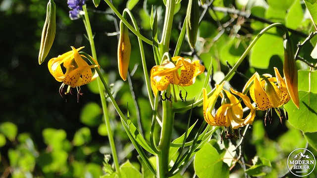
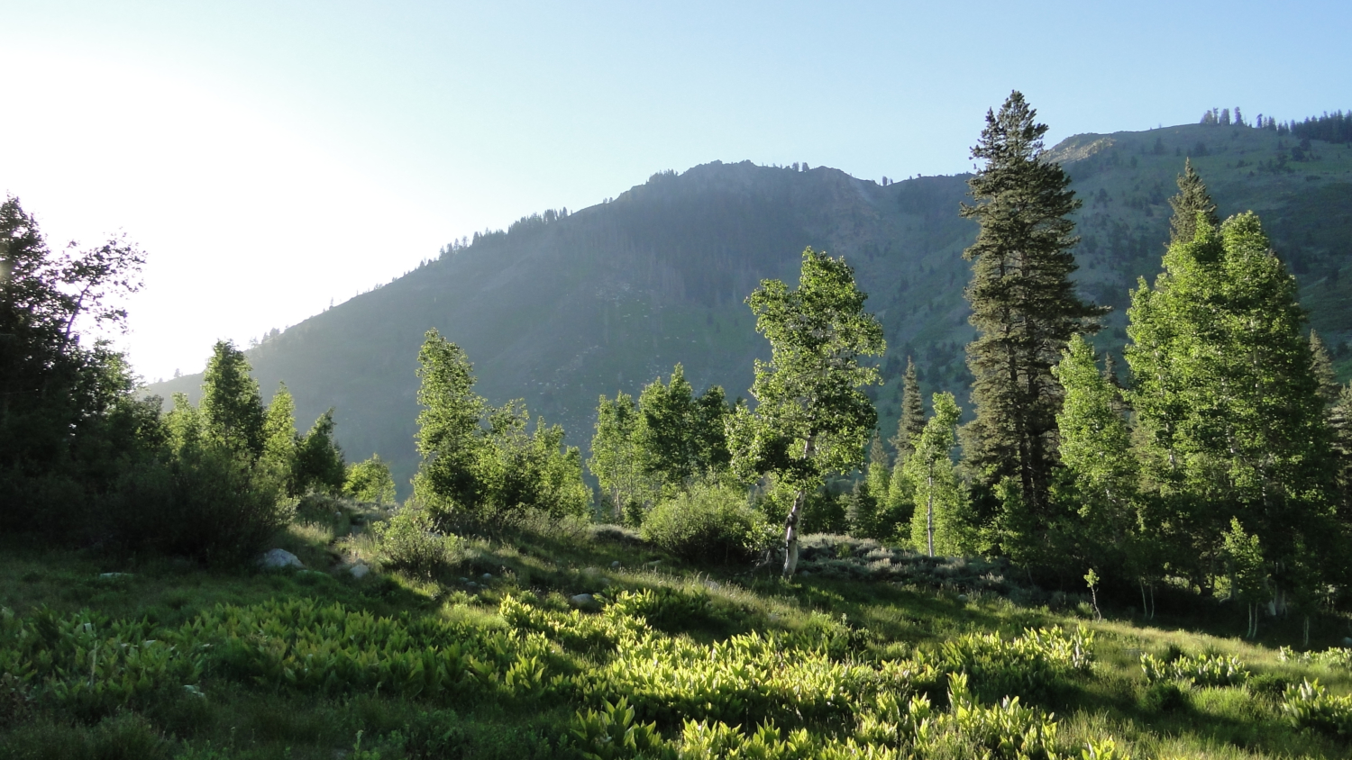
This write-up will assume that you’re leaving from the campground. The trailhead can be found next to campsite six. As you search for the trailhead, it may look like you’re about to walk into somebody’s campsite, as site 6’s parking spot is adjacent to the first 10 feet of trail. Continue on anyway, as you will soon see a sign indicating the trail. The trail will likely be a little overgrown, which is unavoidable due to the profusion of plant life everywhere around you. The trail passes through a cluster of trees and immediately enters a small, sunny meadow full of all kinds of wildflowers. The river will be tumbling along to your left, while the woods on the right will be full of bird songs.
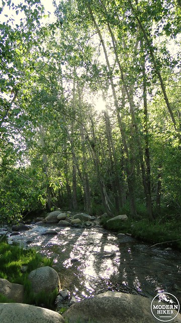
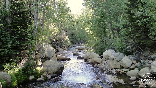
The trail will pass close to the river where side trails will approach the banks, and in one case will climb out onto an outcrop above a cascade. The river is lined with black cottonwoods and aspens. Both trees turns vivid shades of lime green, yellow, gold, orange, and reddish orange during early October, which suggests that the Cold Springs Nature Trail would also be an excellent fall color hike. Such fall color is rare on the west side of the Sierra Nevadas, as most of the aspens and cottonwoods grow on the eastern side. Mineral King Valley, including Cold Springs, is an exception, as many cottonwoods and aspens can be found here.
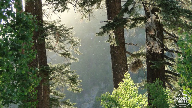
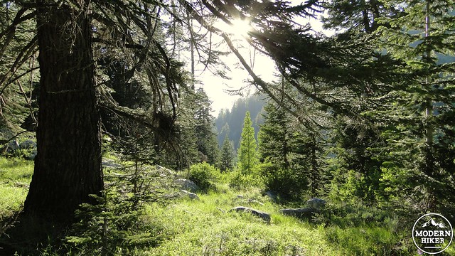
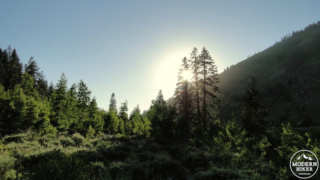
The trail will soon climb a bit up the river’s embankments before passing through some stunted aspen woodlands alongside more grassy meadows before entering a grove of trees closer to the hillside. After passing through these woods, the trail will emerge at the second large meadow on the Cold Springs Trail. Views open up to Timber Gap and Empire Mountain with a large grove of lodgepole pines and firs growing along the river. If you come here when the light is right, this is one of the most beautiful scenes in Mineral King Valley, as the sun hits the trees from just the right angle, setting off all kinds of beautiful contrasts from the golden hour lighting.
After this meadow, the trail begins to bend to the right as it passes into an open grove of lodgepole pines. The meadow gets a bit drier here, and you’ll see sagebrush in abundance. Sagebrush has a mint green color, and when you crush the leaves in your fingers, it emits a wonderful sweet-mint scent. You may also notice a number of cabins. You may eye them envy as you pass by them toward the termination of this trail. Many of the cabins here are over 70 years old, and you will likely encounter their residents. This is a private community, so please respect their space.
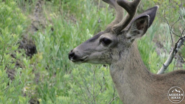
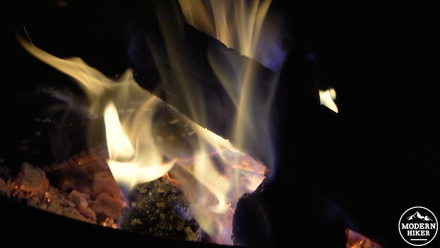
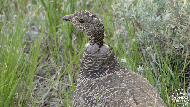
The sign indicating “Site of Beulah” is a good place to turn around, unless you want to walk further on to the Eagle-Mosquito Trailhead and visit the Honeymoon Cabin. It’s also possible to continue on up the Eagle-Mosquito Trail to either Eagle Lake, the Mosquito Lakes, or White Chief Bowl for a long and strenuous day hike. However, the Cold Springs Trail by itself is plenty rewarding, especially if you hike it during the evening around the golden hour. You’re likely to spot plenty of wildlife, including black bears, marmots, mule deer, and grouses, which are basically mountain chickens. From here, retrace your steps and return to the campground, where, hopefully, you will have a hot campfire, a delicious meal, and your beverage of choice waiting for you.
One thing to note: the abundance of water here will also mean an abundance of mosquitos. They aren’t so bad during the middle of the day, but during early morning and late afternoon, they can be murder. It’s best to wear some kind of bug repellent, whether it is deet, citronella oil, or bug nets. Don’t let the little bastards get you down.
Tags: Cold Springs Campground, Cold Springs Nature Trail, Kaweah River, Mineral King


