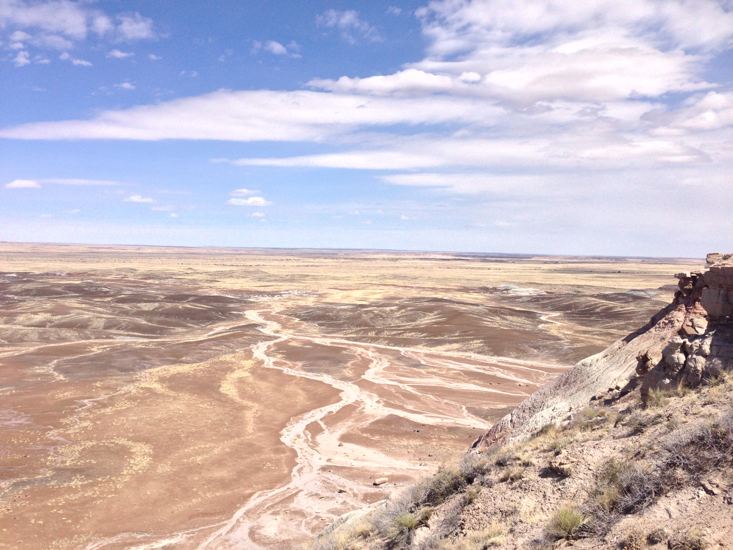
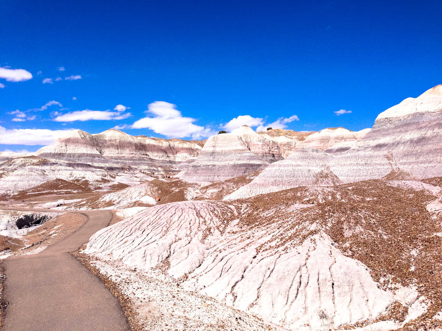
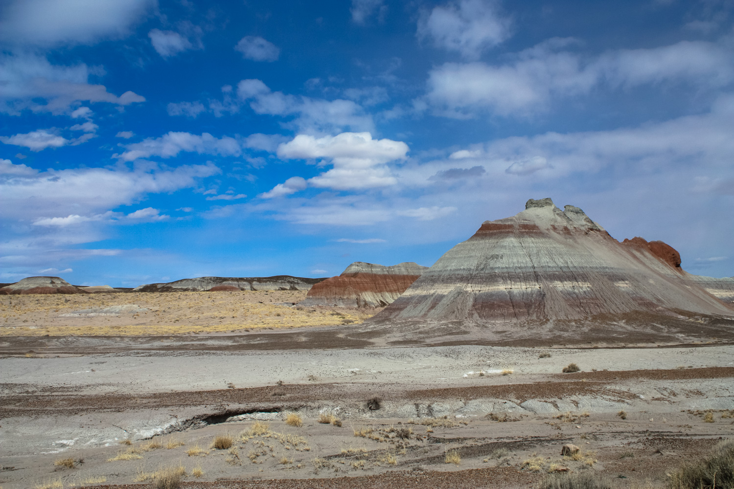
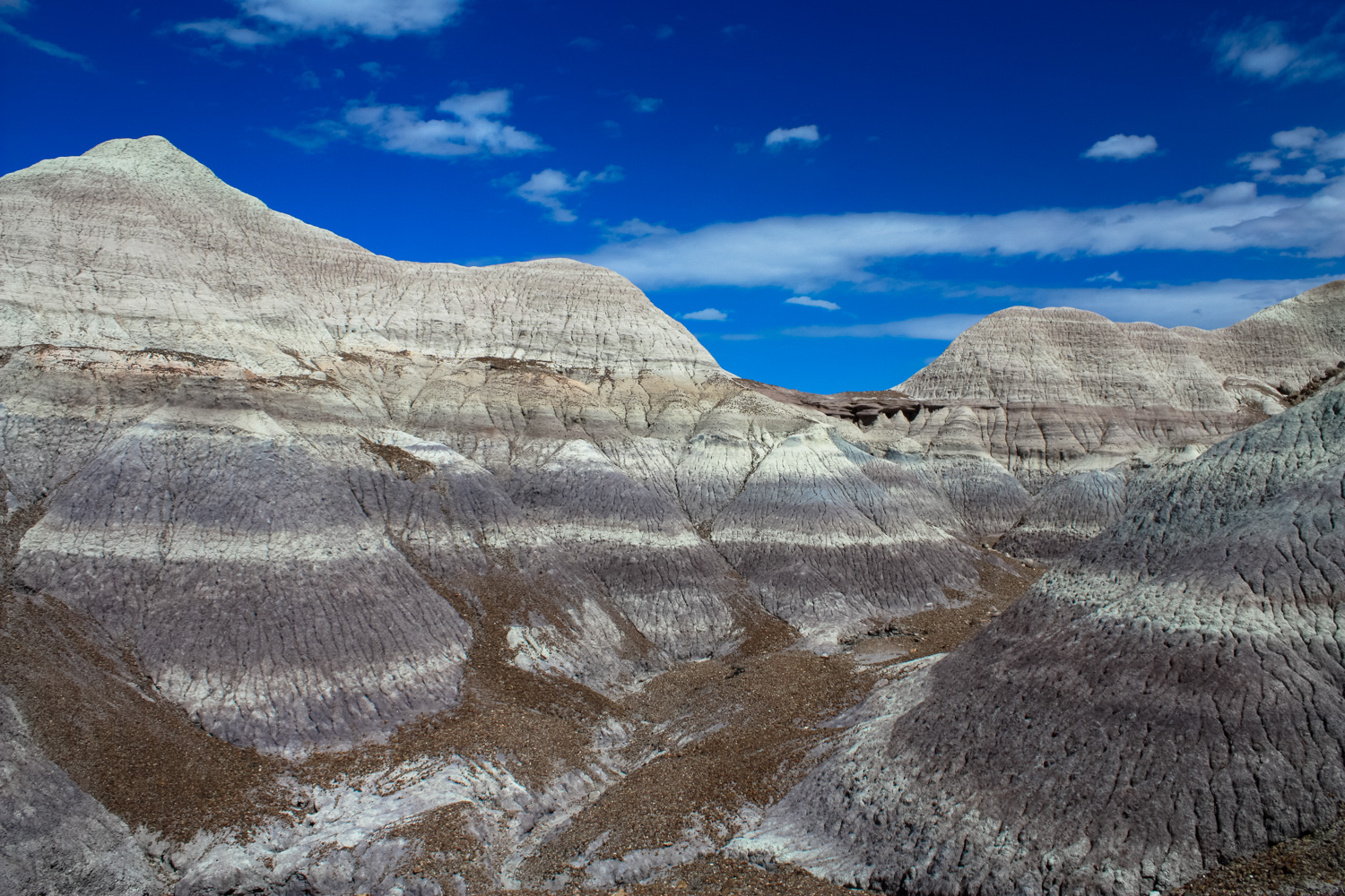
This relatively easy, paved path into the heart of the otherworldly Blue Mesa member of the Chinle rock formation. Walk through and around badlands that look like strange melted ice cream, and spot chunks of petrified wood all along the ground.If you spend any time in the Colorado Plateau, you’re going to eventually become familiar with the Chinle Formation. A rock layer deposited more than 200 million years ago, the Chinle Formation is visible in many of the region’s southern badlands. Back then, the region was full of rivers that carried water northwest toward a large, shallow sea, leaving sand, silt and mud behind. Many of these layers give the Painted Desert its distinctive colors — and the layer known as the Blue Mesa Member is the second-oldest of these layers.
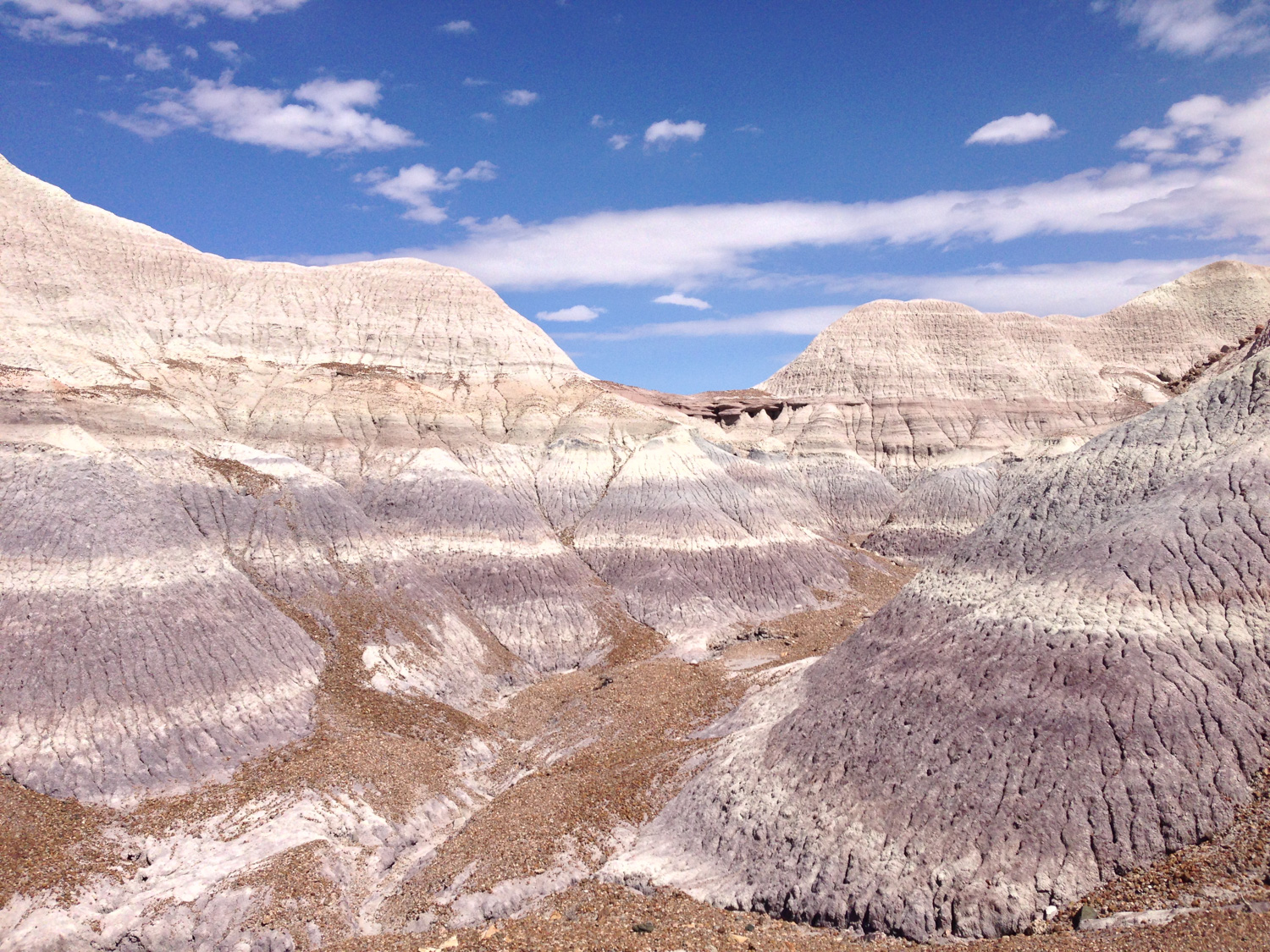
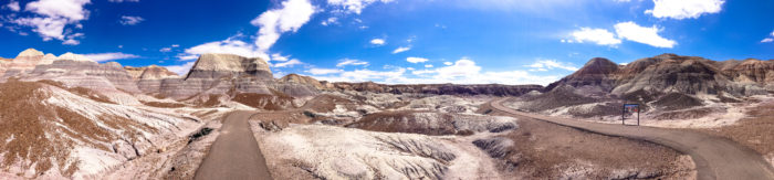
Laid down between 220 and 225 million years ago, the Blue Mesa Member is full of mud and sandstones that range from a distinctive blue-gray to green and even purple … and the best place to get up close and personal with this layer is right here at the Blue Mesa Trailhead.
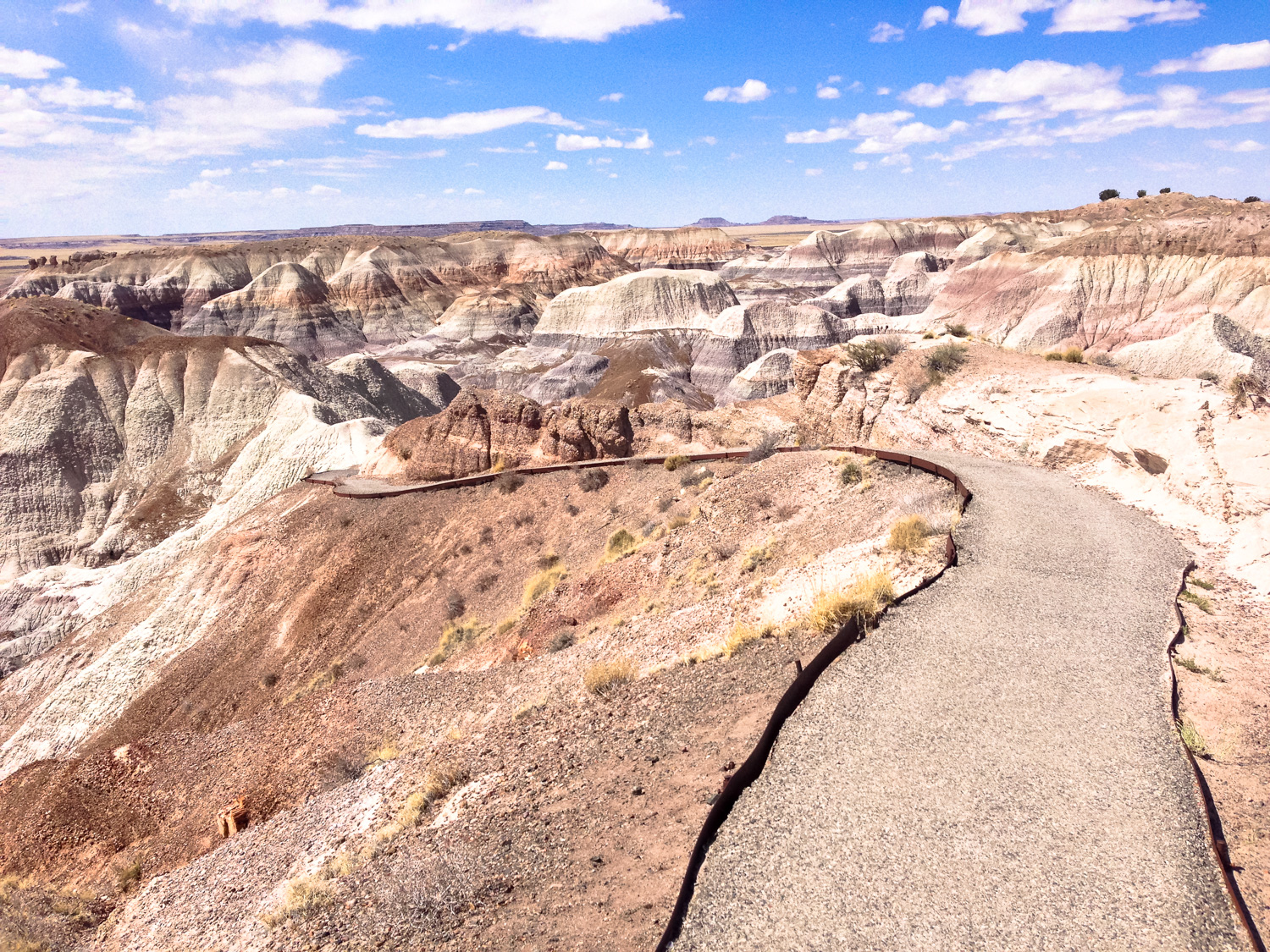
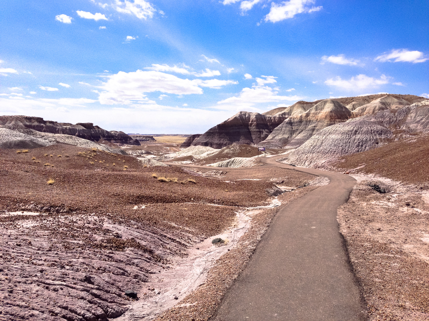
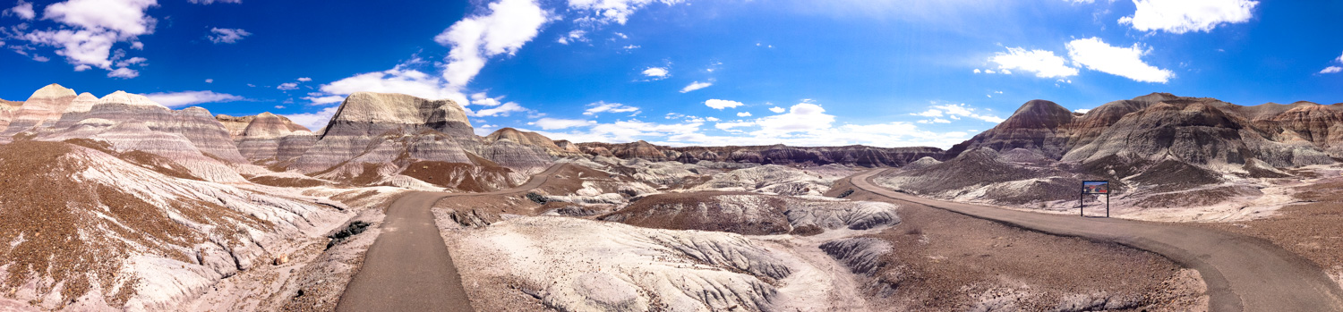
This paved interpretive lollipop loop begins atop the Blue Mesa itself, then ducks down inside some of the canyons for a better view of the canyon floors.
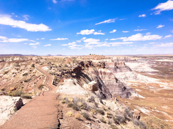
To the north, the flat desert seems fairly normal — but to your south, the wonderland-ish geologic playground of the Blue Mesa stands in stark, almost surreal contrast.
Follow the paved path down into the Blue Mesa formation, and at 0.2 mile keep right at the junction to begin the loop.
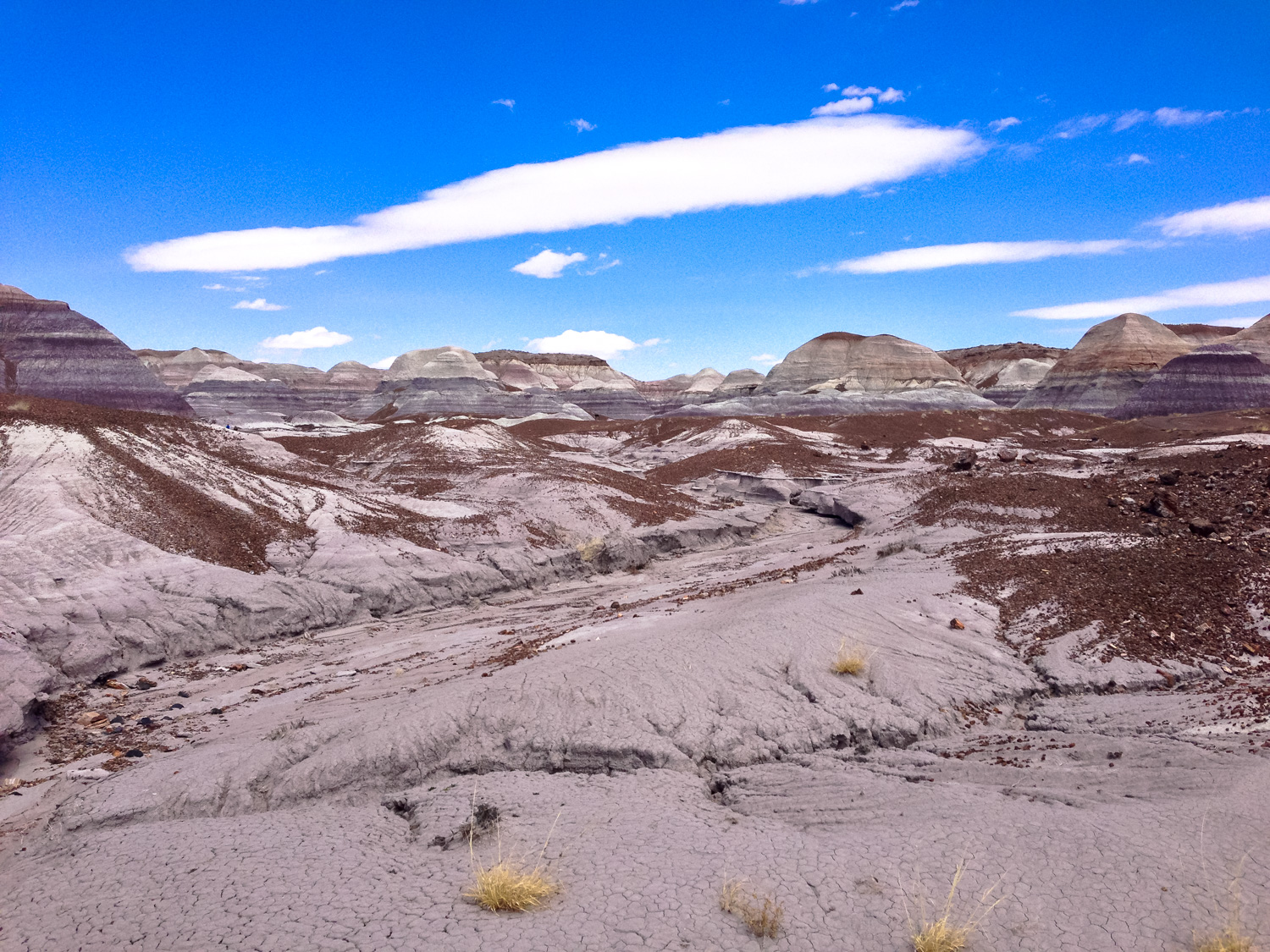
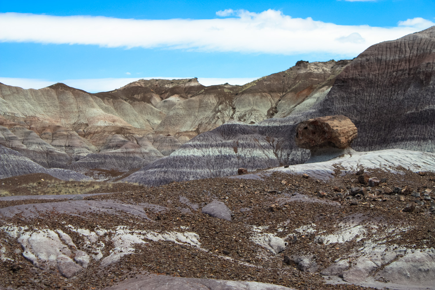
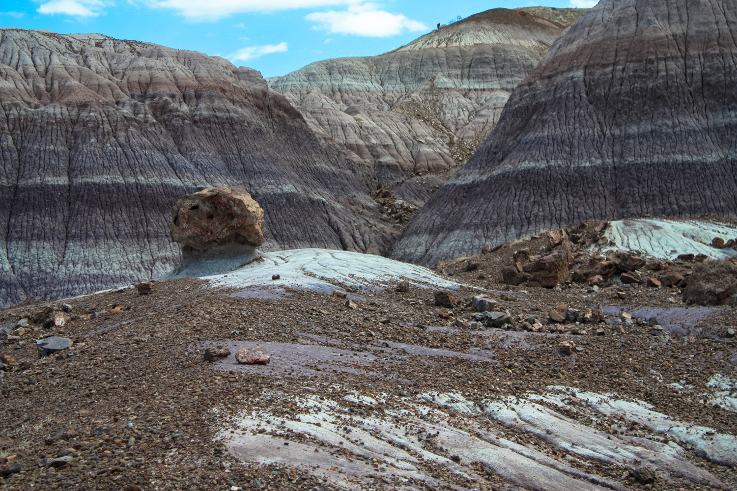
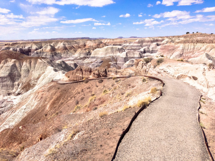
In here, it’s easy to think you’ve been teleported to another planet. The rock formations are absolutely surreal in every way — and if you’re lucky enough to be traveling the trail on your own, it’s tempting to pretend you’re in a Matt Damon in The Martian sort of scenario (please don’t try to grow potatoes in your own poop, though).

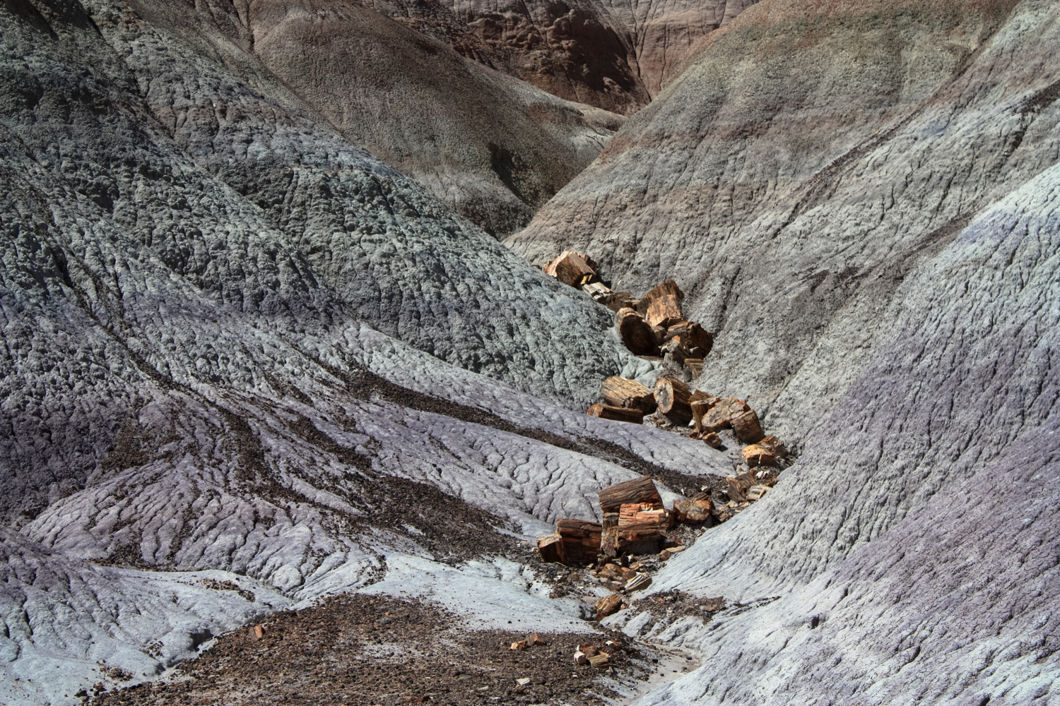
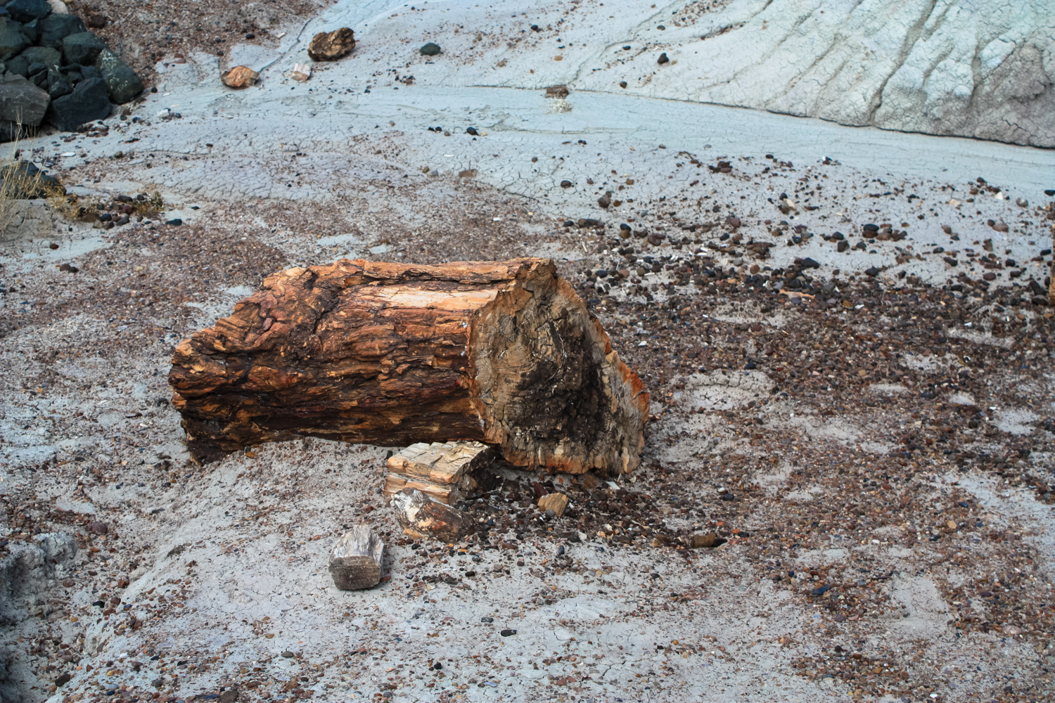
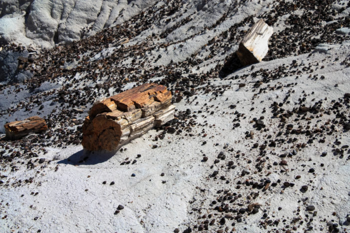
While there isn’t a TON of petrified wood here, keen eyes will be able to spot some ancient logs hiding out in some of the canyon branches.
Interpretive signs along the route explain some of the area’s strange geology — and how the clay in the landscape actually expands and contracts during wet weather, causing even further erosion (and the occasional buckled roadway, as well).
Stay on the established path to prevent additional erosion in this delicate landscape.
By 0.8 mile you’ll close the lollipop loop and make your way back to the trailhead.
Tags: Arizona, blue mesa, geology, petrified forest national park