Just outside the town of Bishop is a gorgeous canyon filled with alpine lakes, jagged peaks, glaciers, and some of the most reliably beautiful fall foliage in the entire state of California. You can strap on a backpack and spend days wandering in the John Muir Wilderness – or you can enjoy the scenery on a day hike and camp or stay in a nearby rustic mountain resort. Any way you slice it, this is a must-see hike – especially when the aspens are turning.
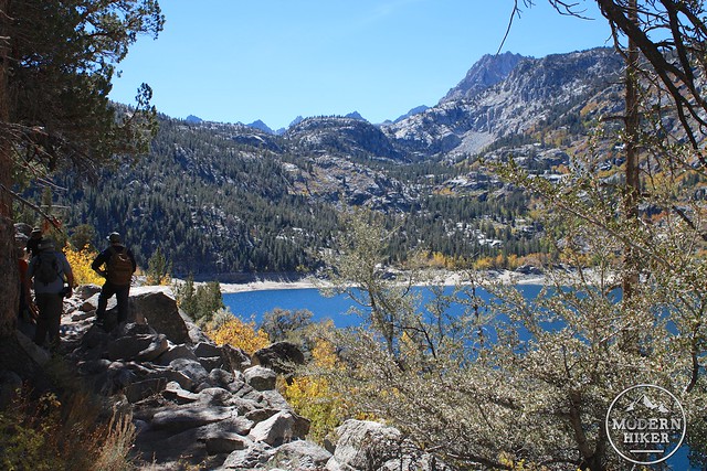
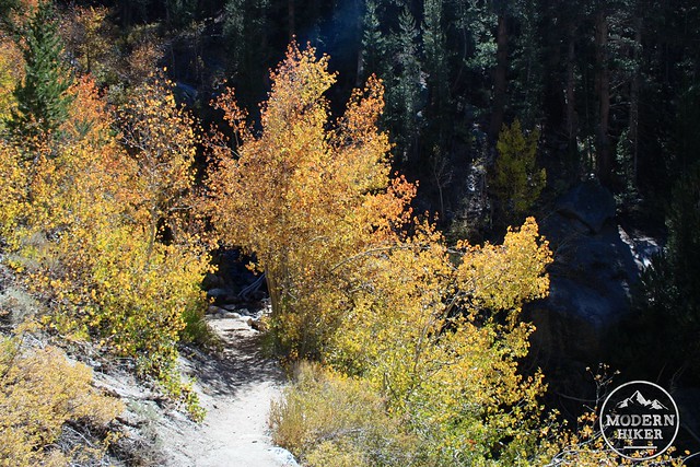
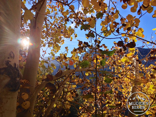
As you’re driving up to the trailhead, be sure to leave some extra time to get out of the car to take some photos along the way. You’re not going to be able to pass up scenery like this:
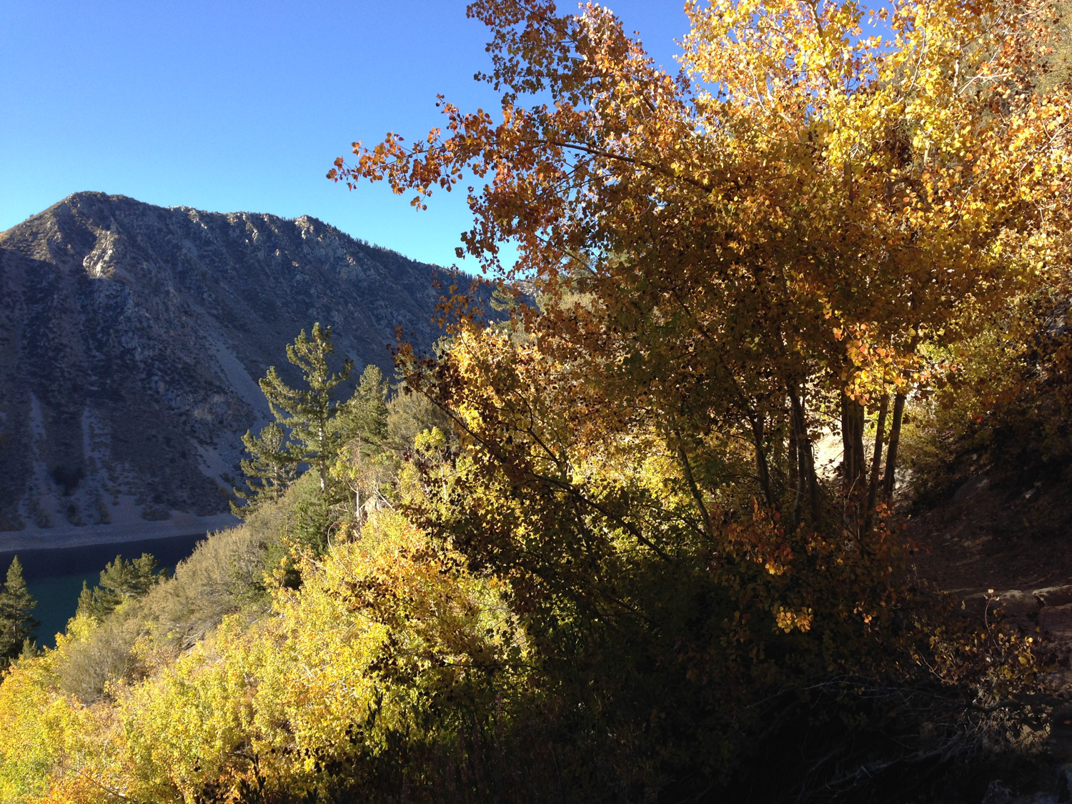
When I hiked this trail I started from my base at nearby Sabrina Camp – and instead of driving to the trailhead I just walked along the road and was treated to some beautiful golden aspens and babbling brooks. If you’re driving all the way in, just look for parking near the clearly-signed Sabrina Basin Trailhead. There aren’t a whole lot of parking spaces here – especially during peak foliage – so you may get to walk a bit back to the trailhead anyway.
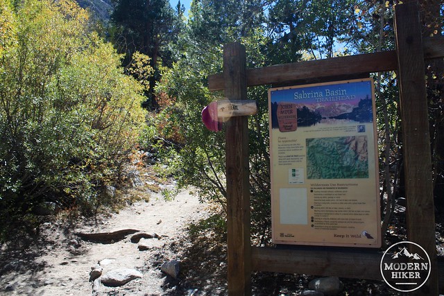
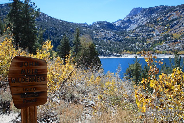
You are hiking and camping inside the John Muir Wilderness so there are some extra restrictions on this trail – but if you’re day hiking you won’t need any permits. If you’re overnighting, you’re allowed to camp anywhere you’d like as long as it’s at least 200 feet away from water or trails. Not a bad deal, if you ask me.
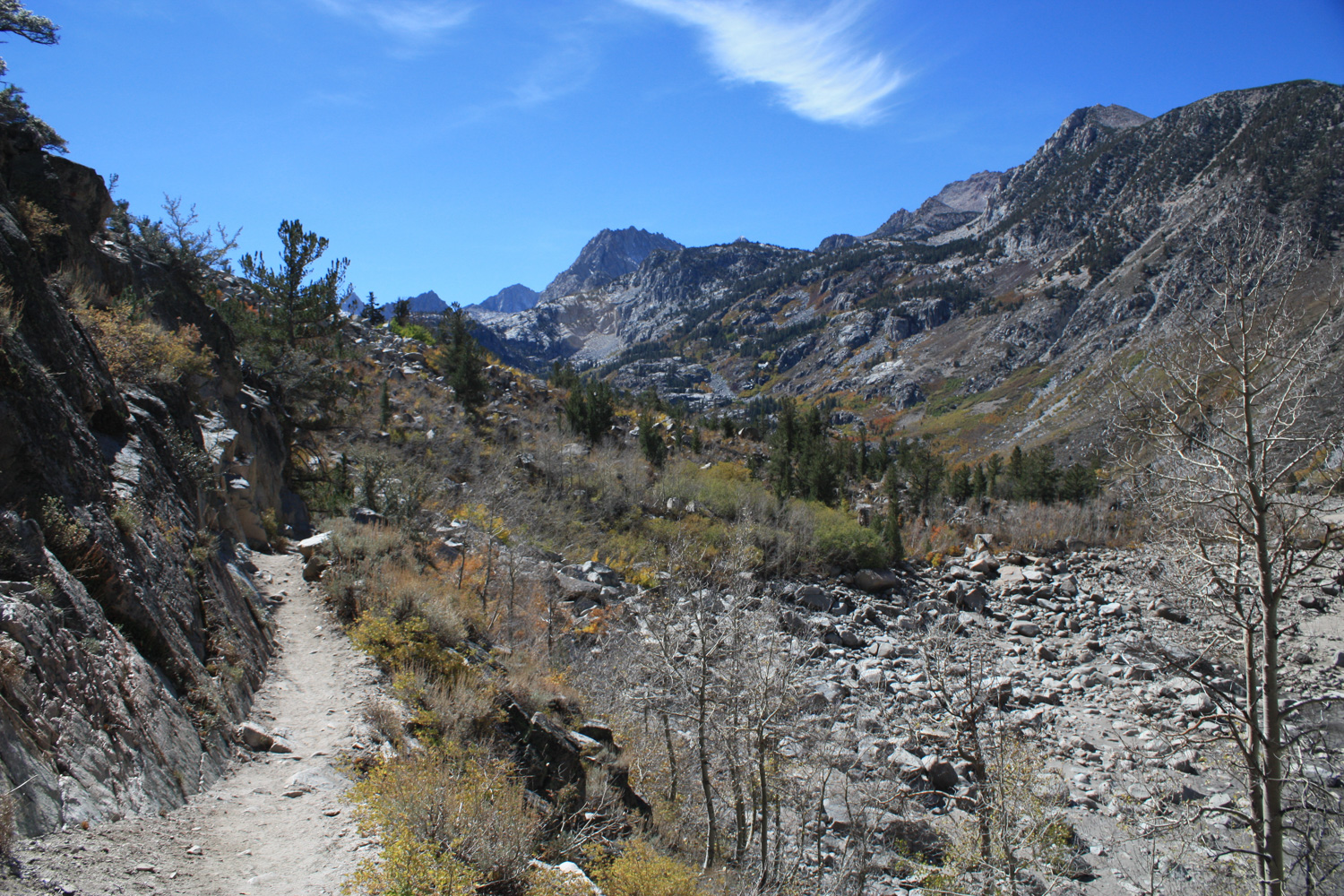
The first mile of this trail starts off very pleasantly, walking on a mostly flat section near Lake Sabrina’s northeastern shore. You’ll pass through more aspen while catching glimpses of the Sierra Nevada and Lake Sabrina itself (which, depending on the level of precipitation we’ve had, may be more of a low reservoir than a lake.
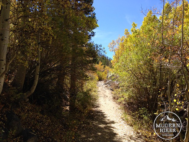
Although the trail is fairly easy for the first mile, you are still up above 9000 feet so if you haven’t had time to acclimate you may find yourself a bit more sluggish than you’re used to. Don’t worry, though – just enjoy the hypnotizing rattling sound of the leaves through the aspen trees as you head toward the Wilderness. And be sure to look across the Lake to the opposite shore, where an expansive aspen grove absolutely explodes in color every autumn.
At the one mile mark, the trail starts to gain a bit of elevation – and at 1.3 miles you’ll reach a junction with the Lake George Trail and the boundary of the John Muir Wilderness. The Lake George Trail makes a challenging 8.6 mile trek across Table Mountain before meandering through some small alpine lakes above South Lake and ending up near Willow Camp, but save that route for another, tougher day.
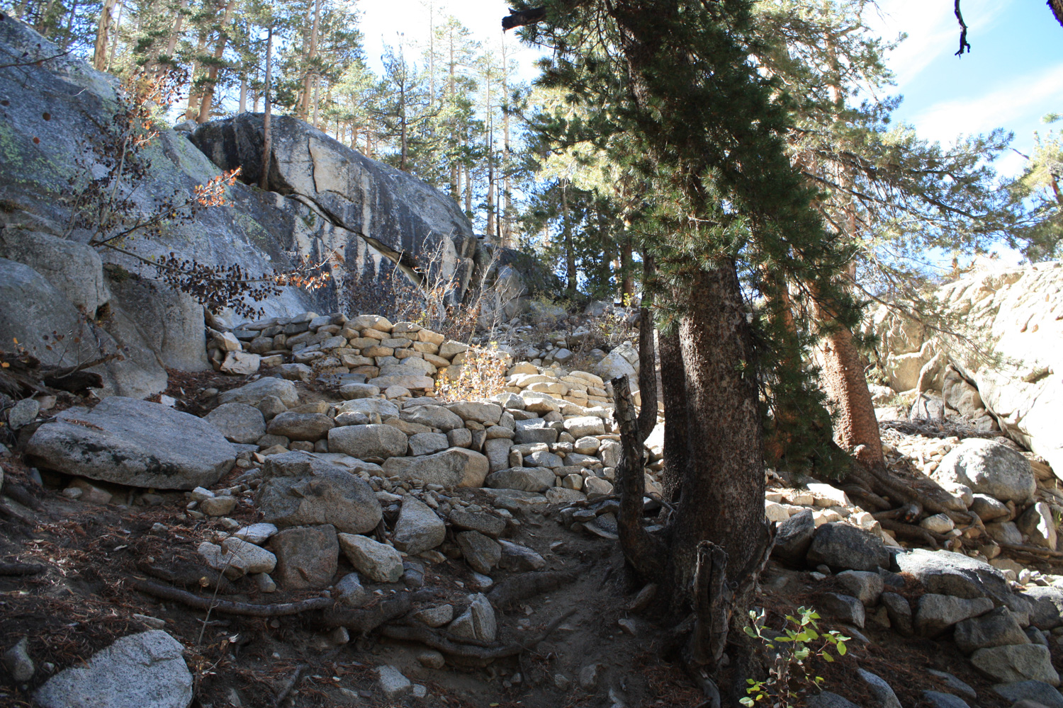
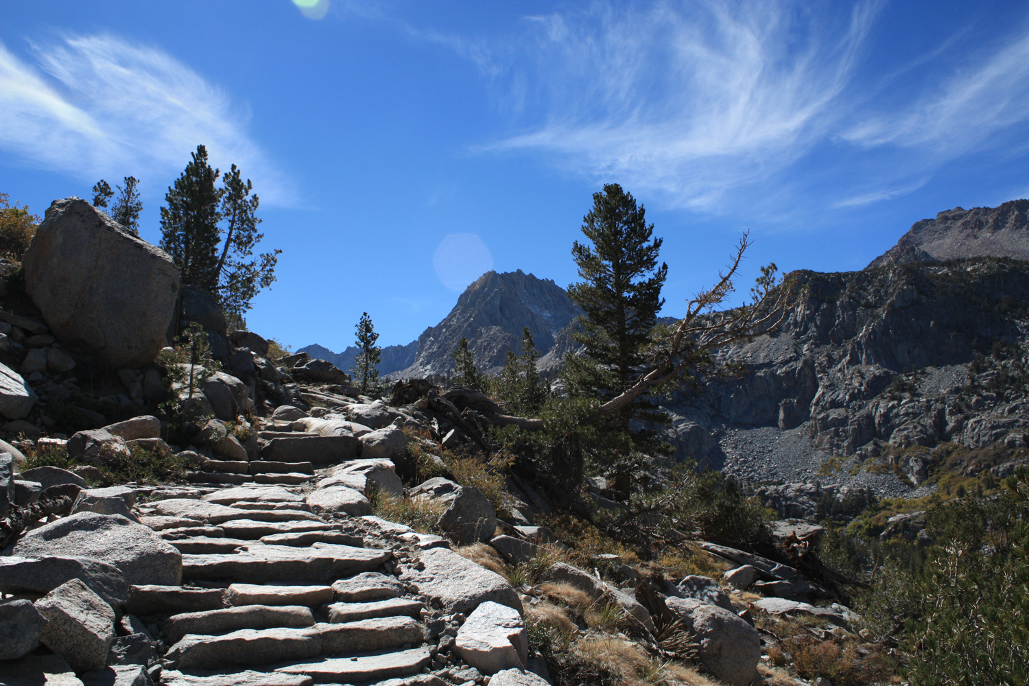
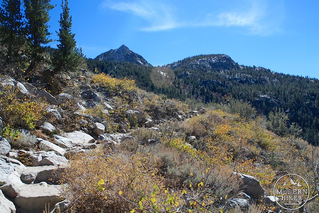
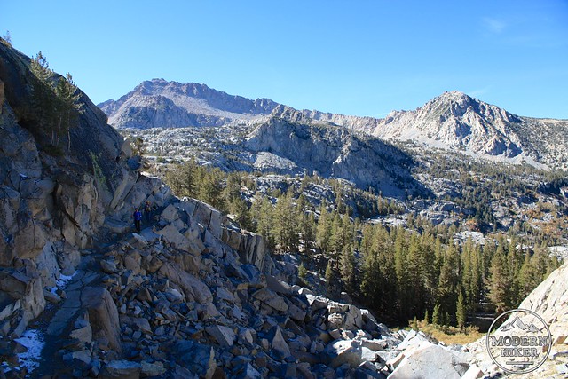
Continue straight toward Blue Lake instead – and consider the “slow start” portion of this trail over. For the next mile and a half you’ll be ascending about 970 feet, often on tight switchbacks and up expertly crafted Sierra granite staircases.
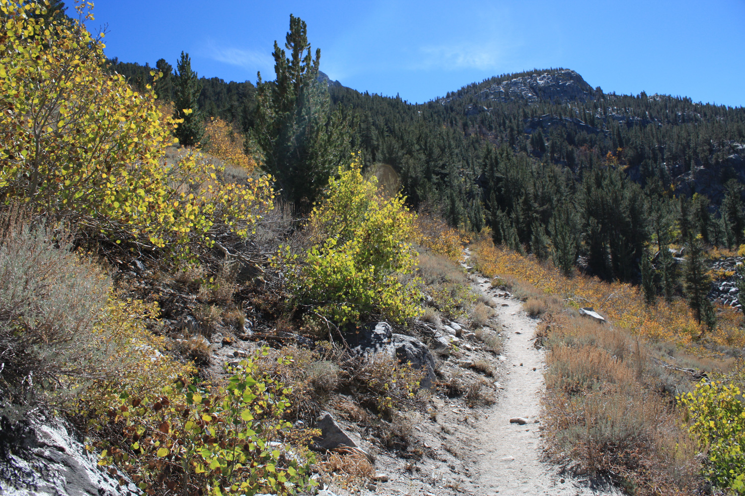
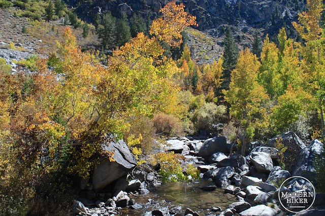
You’ll cross one dependably flowing creek just past the Wilderness Boundary before making two short switchbacks. As you gain elevation you’ll note the aspens giving way to pines – although you may still be able to see some of their golden foliage below you.
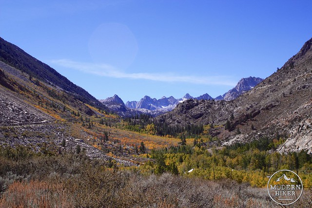
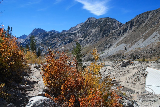
This next 2.5 miles of trail is moderately tough going for elevation gain but incredibly beautiful in scenery. Stone staircases and switchbacks bring you closer and closer to those Sierra peaks – slowly but surely leaving the thick forests behind and unveiling a truly breathtaking landscape that you may have to remind yourself is actually real.
If you’ve never been in the Sierra Nevada for, hiking here will definitely make you start planning an immediate return trip.
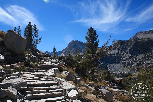
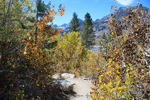
When you reach the stone switchbacks in that last photo, you’re almost at a high point of the trail – both literally and figuratively.
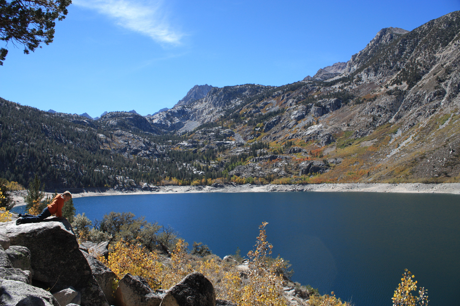
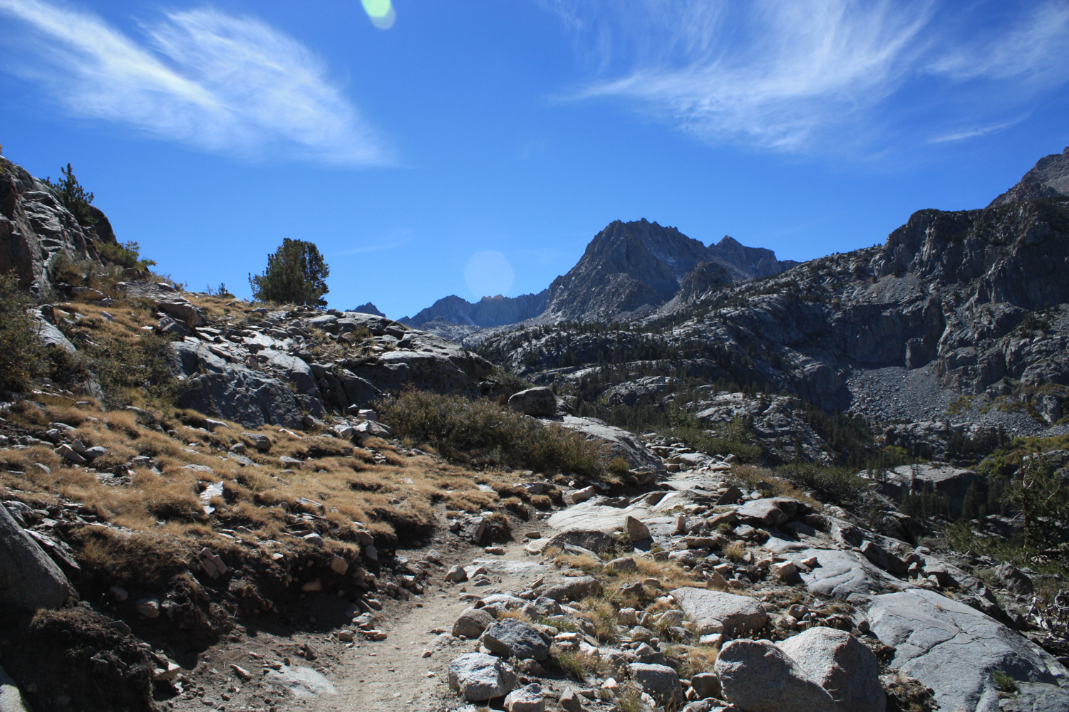
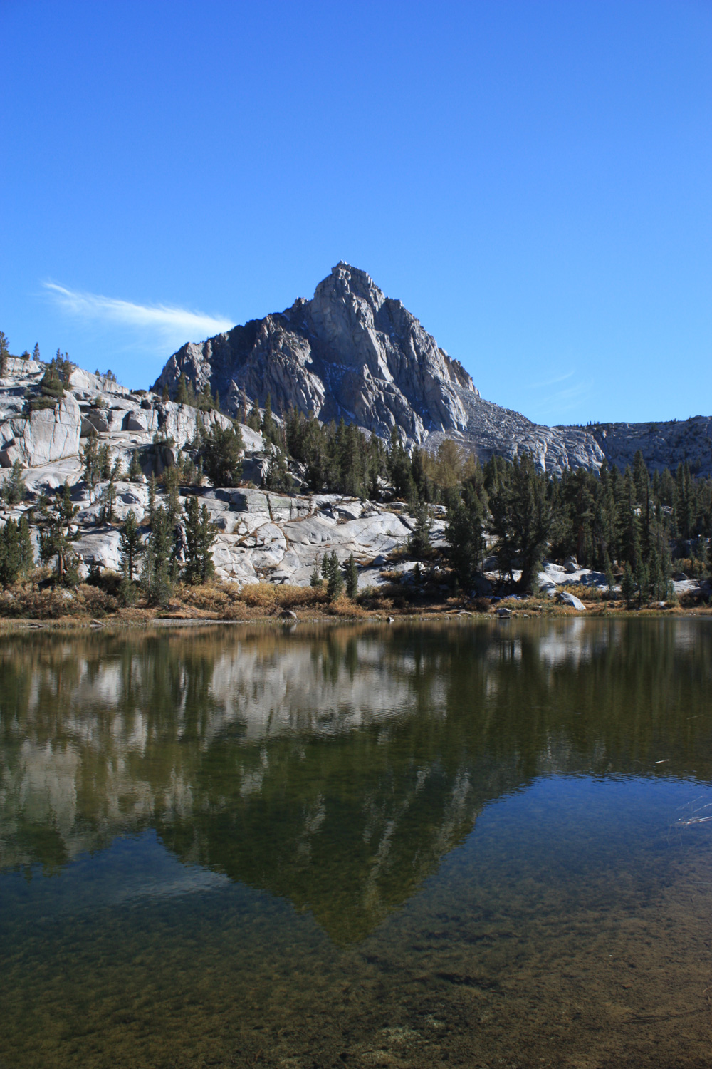
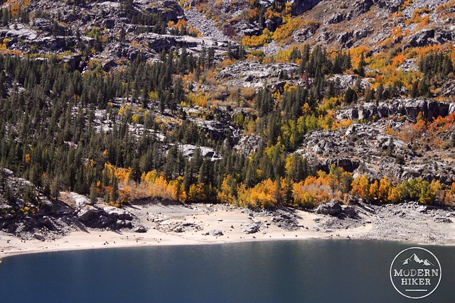
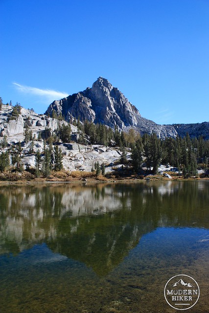
At the 2.6 mile mark, the trail levels out a bit – hovering around 10,370 feet. You’ll pass next to a few small lakes and get your first glimpse of the wonder that is Blue Lake:
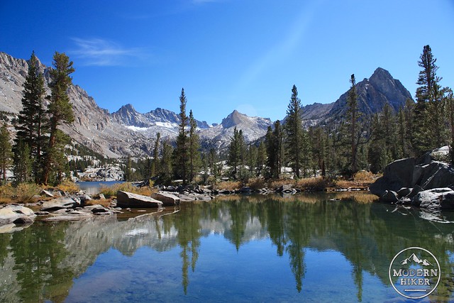
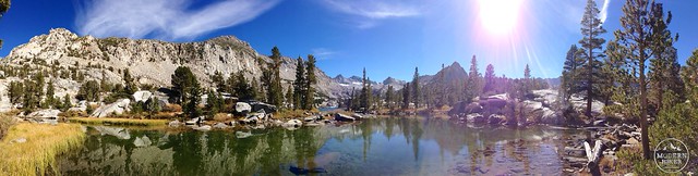
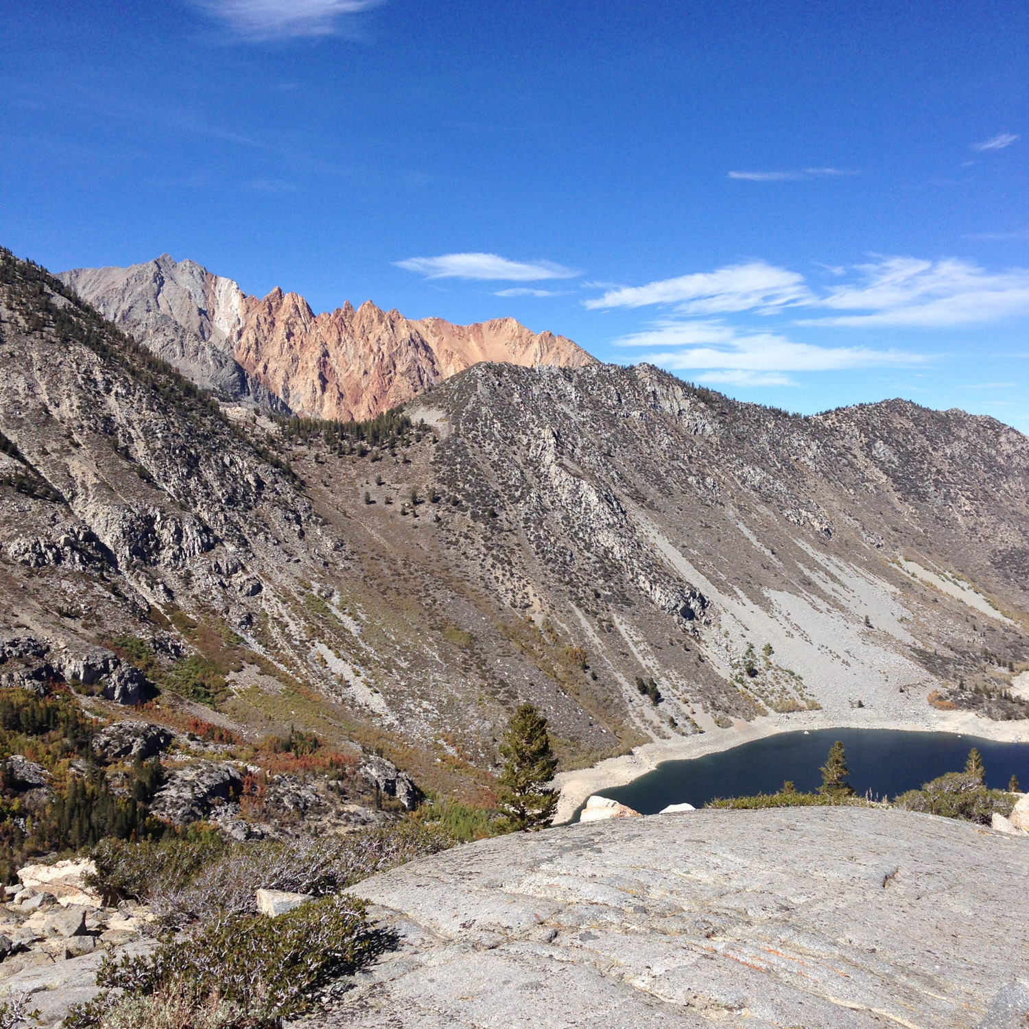
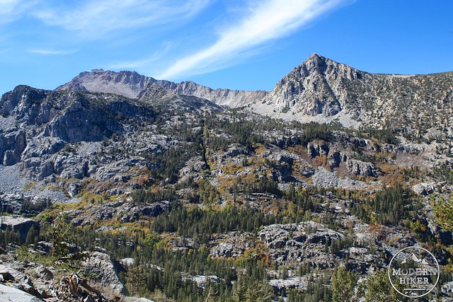
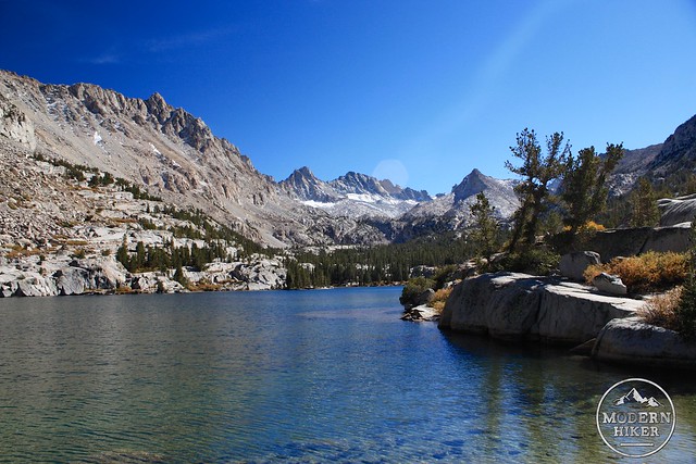
Blue Lake is the largest of the natural alpine lakes you’ll see on this trail – and if the setting doesn’t make you stop to soak it all in, I don’t know what will. To the south, the looming peak of Mount Thompson presides. The Thompson Ridge frames the eastern shore while wrapping the western edge of the Sabrina Basin are Mount Powell, the Clyde Spires, Mount Wallace, Mount Haeckel, Mount Darwin, and Mount Lamareck – just beyond those peaks is the Evolution Basin and John Muir / Pacific Crest Trail inside Kings Canyon National Park.
Once you’ve had your fill of Blue Lake (or as close to your fill as you can get), look for the junction around the 3.00 mile mark – about halfway along Blue Lake’s western shore. It is possible to continue hiking south to reach Donkey Lake and the Baboon Lakes, but for the purposes of this hike, head west on the Dingleberry Trail.
I know.
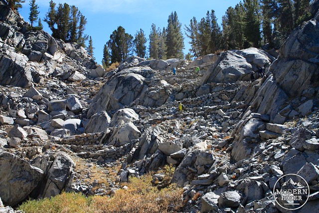
This section of trail climbs through some of the granite formations to the west of Blue Lake. Because they’re on north facing rocks and often shaded, be on the lookout for snow here – even if it hasn’t snowed in a long time.
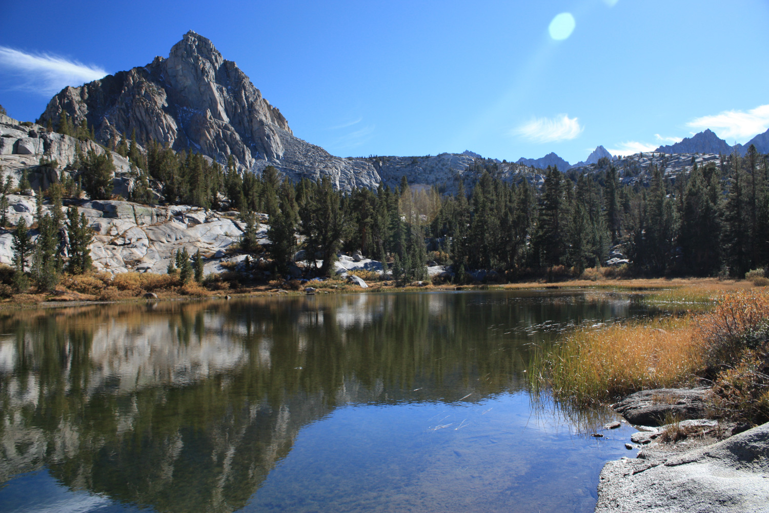
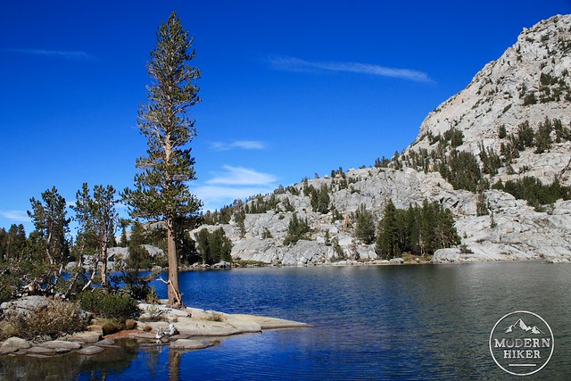
You’ll reach the Emerald Lakes at about the 3.6 mile mark. They’re not nearly as large as Blue Lake, but they are flanked by the end of a huge ridge extending north from Mount Powell, which gives them a photogenic backdrop in their own right.

From here, you can choose to continue along the trail to a series of beautiful lakes – Dingleberry, Pee Week, Topsy Turvy, Midnight, Sailor, Moonlight, and Hungry Packer Lake are all easily reachable if you’re in the mood to keep hiking – or you can just take it easy and return back, enjoying fresh look of the late afternoon or early evening light on those aspen on the way back down.
Tags: bishop, Bishop Canyon, Blue Lake, Dingleberry Lake, Emerald Lakes, fall foliage, foliage, Hungry Packer Lake, John Muir Wilderness, Lake Sabrina, Midnight Lake, Moonlight Lake, Pee Wee Lake, Sabrina Basin, Sailor Lake, Topsy Turvy Lake