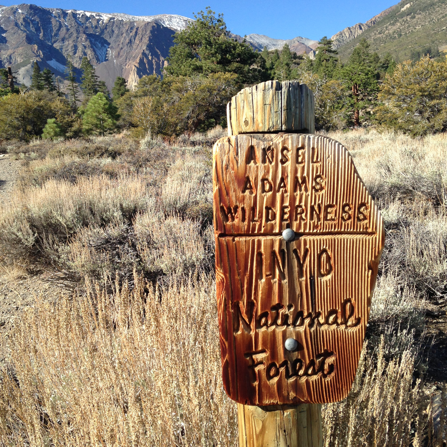
Parker Lake is one of the smaller lakes near the June Lake Loop, but while foliage-seeking tourists will flock to the easily accessible aspen groves of June, Gulf, Silver, and Grant Lakes, for a tiny bit more effort hikers can enjoy the absolutely stunning views at the end of the Parker Lake Trail. There is a handful of trails I have hiked over the years that have taken my breath away – causing me to just sit in awe at what’s before me. Parker Lake is one of those trails.
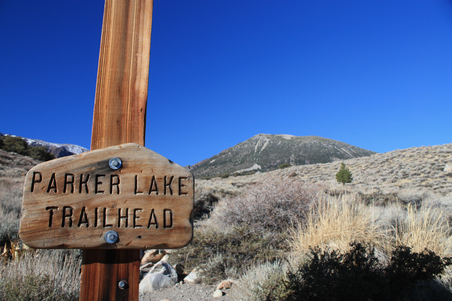
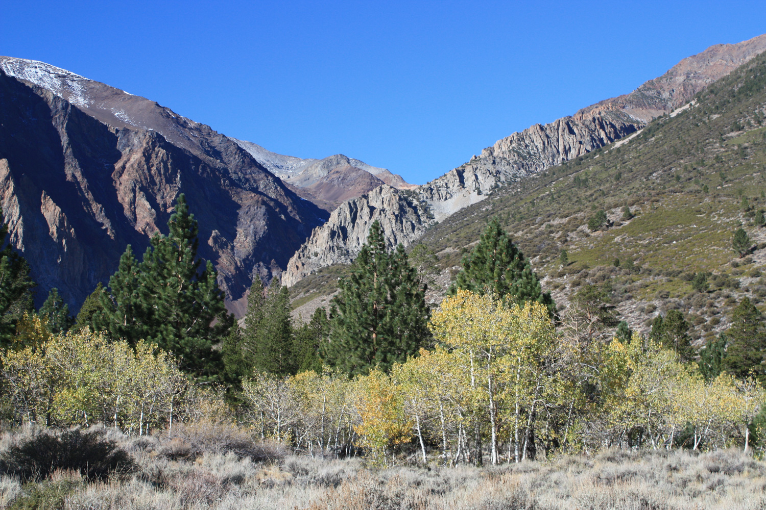
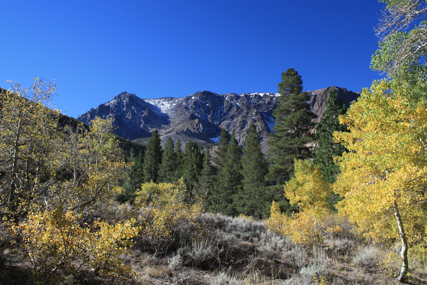
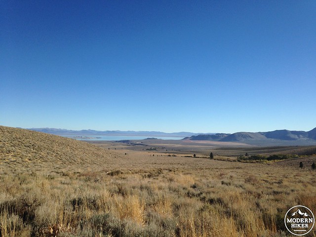
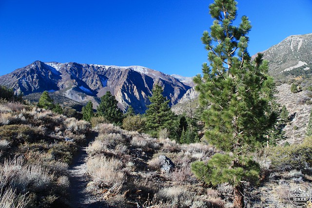
Head down the dusty Parker Lake Road (bumpy, but navigable for passenger cars) and park at the trailhead. From here, you’re given no clues as to what you’re about to hike through. To your east, you have great views of Mono Lake over the serene chaparral, and to the west, all you can make out are the distant summits of Mount Wood, Mount Lewis, and Parker Peak.
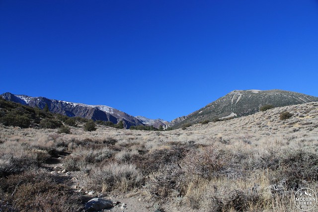
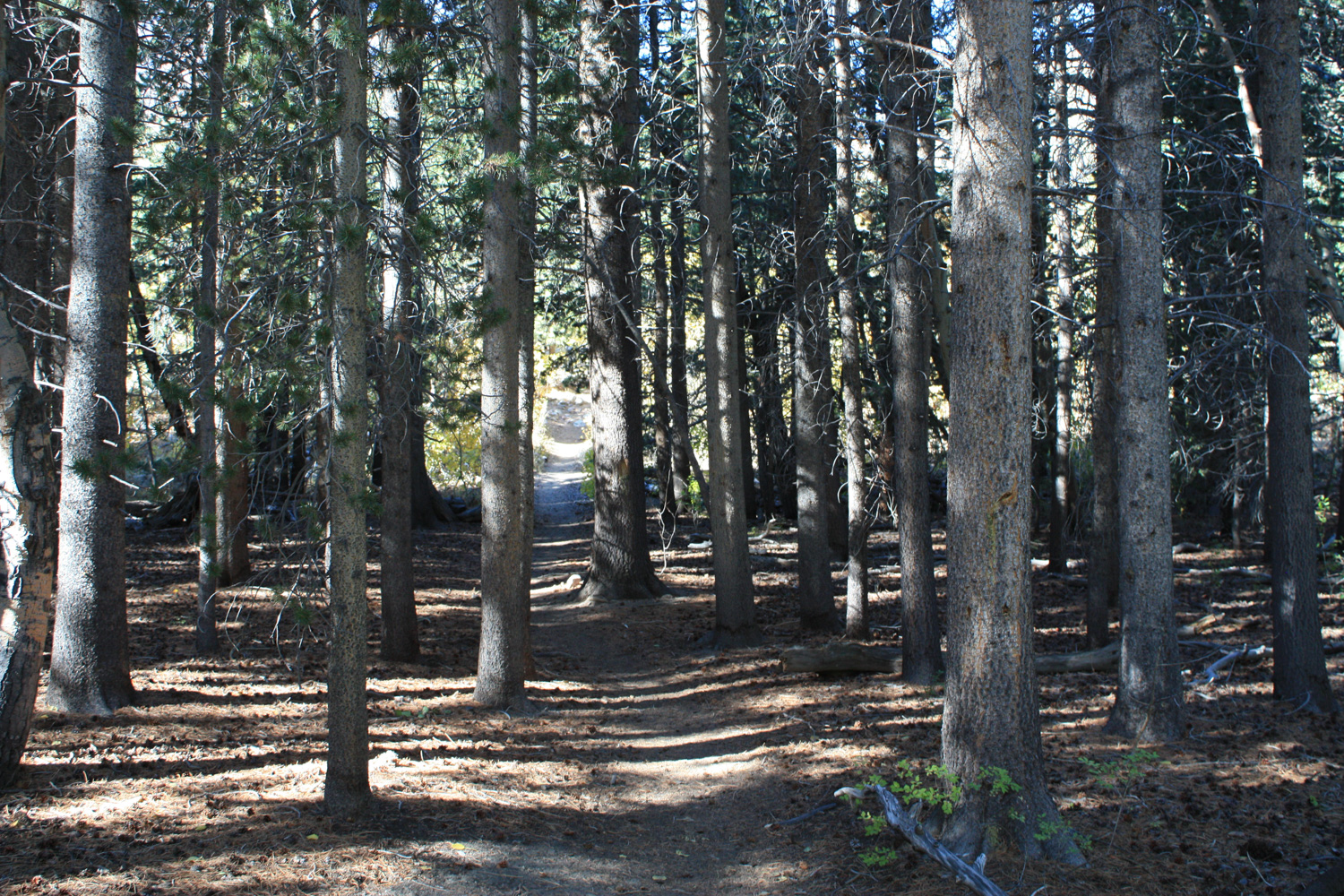
The trail starts off with a noticeable climb, gaining 315 feet in the first 0.4 miles. There’s a bit more elevation gain after that but most of the hard work is done right at the beginning of the trail, so don’t get discouraged.
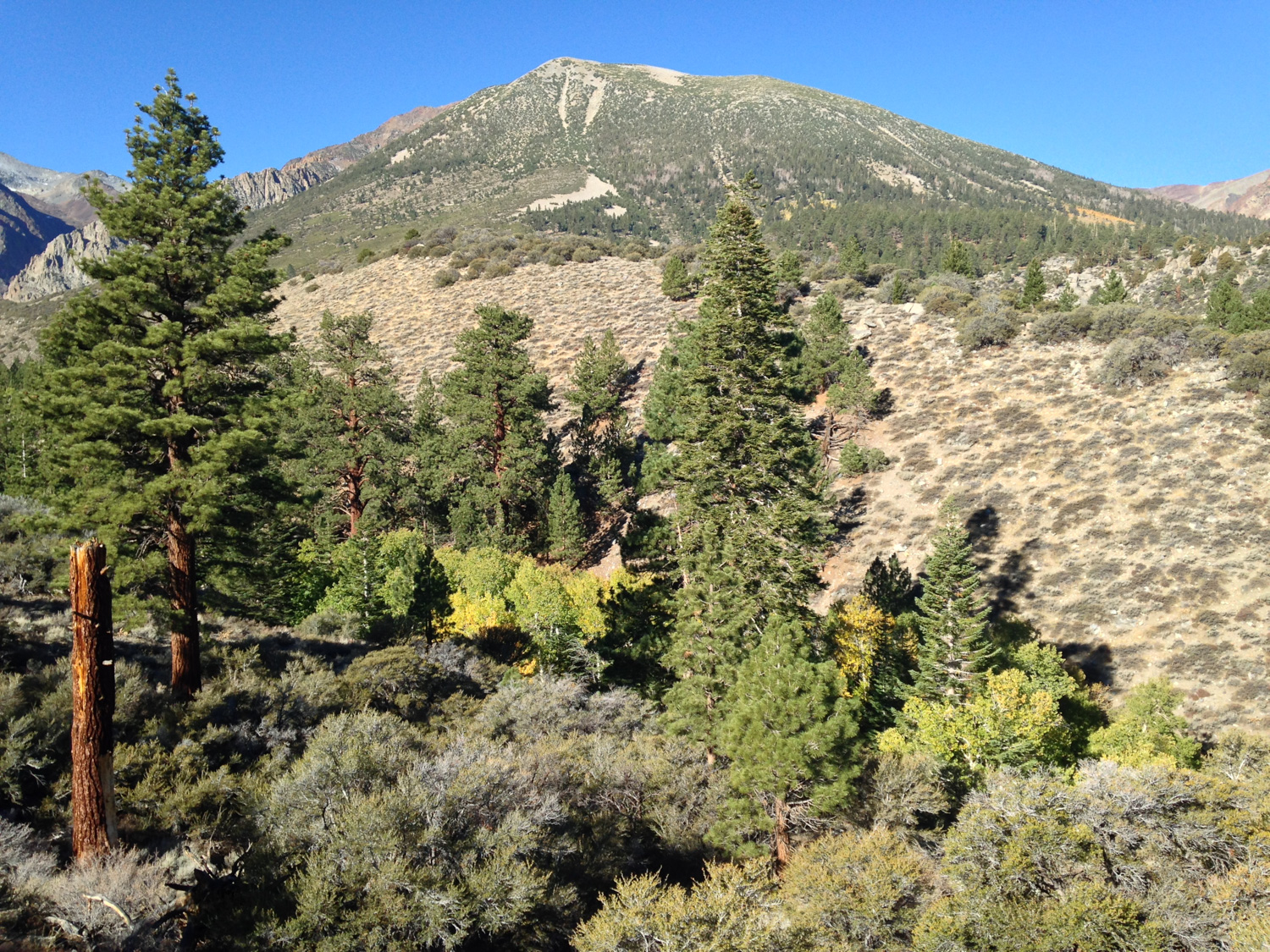
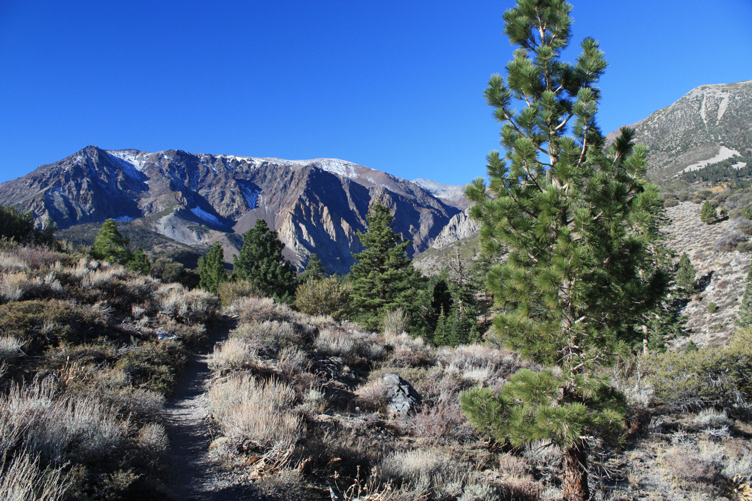
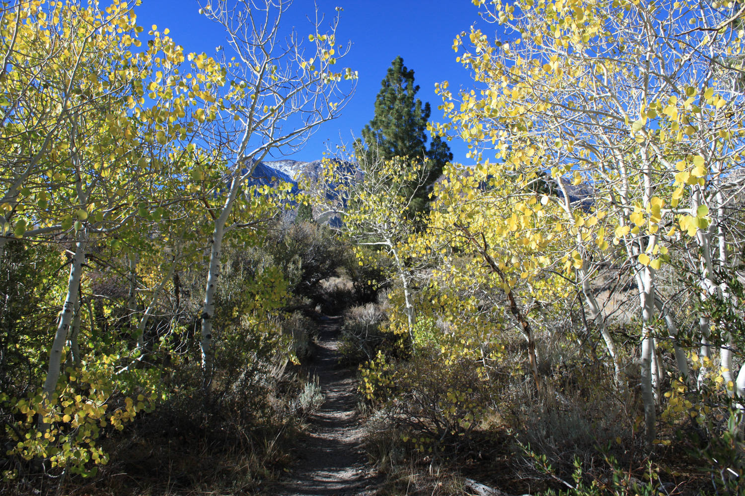
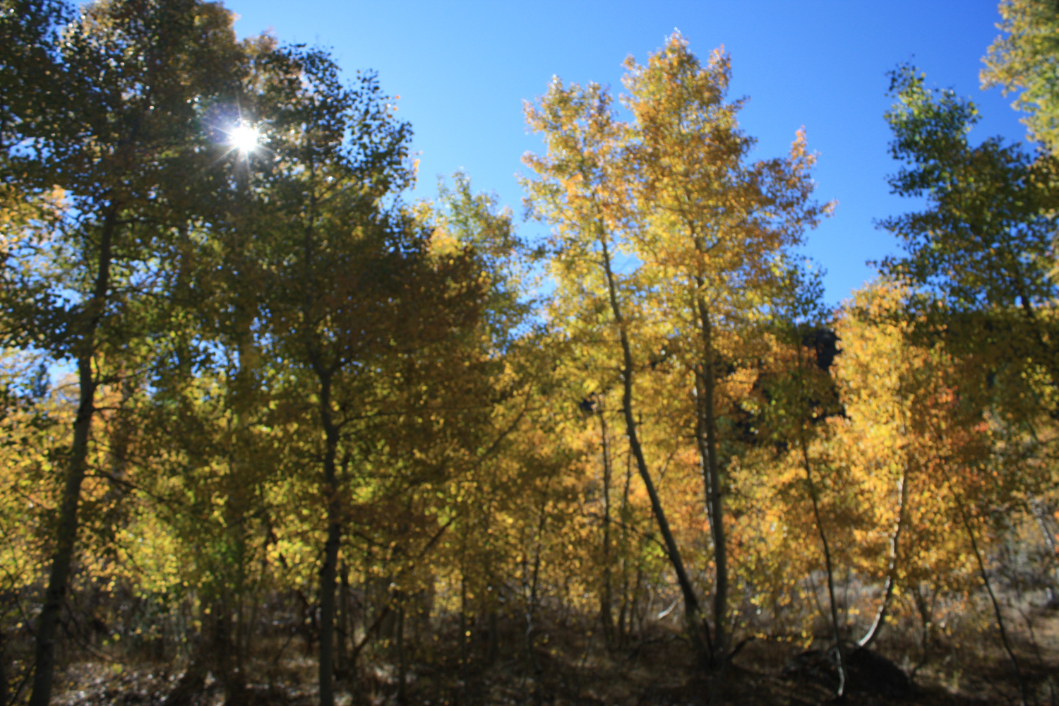
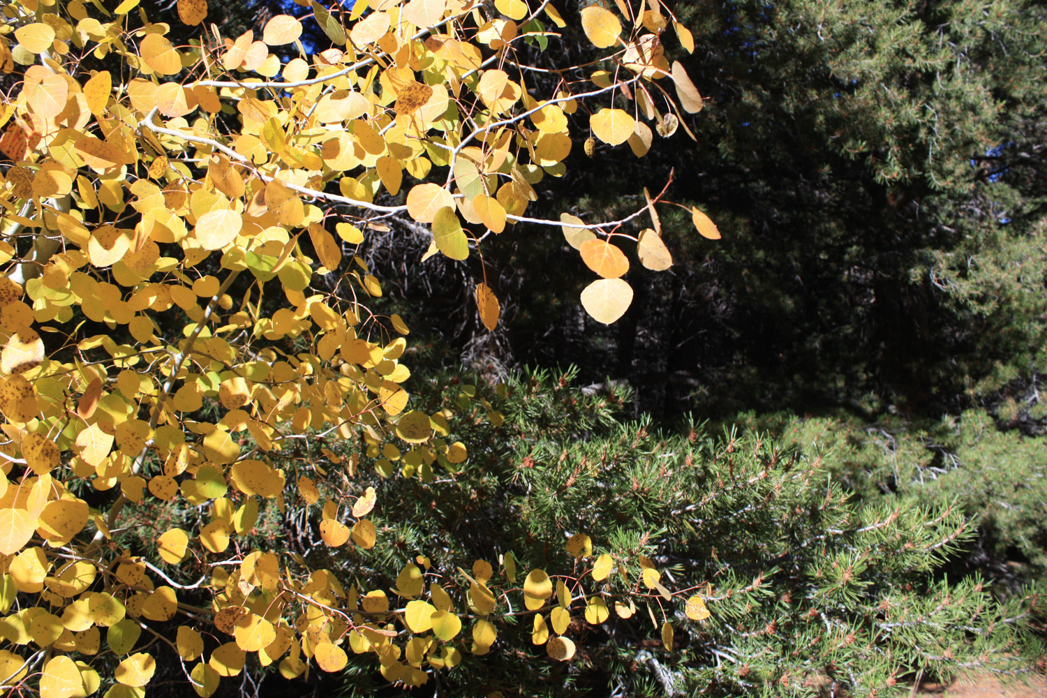
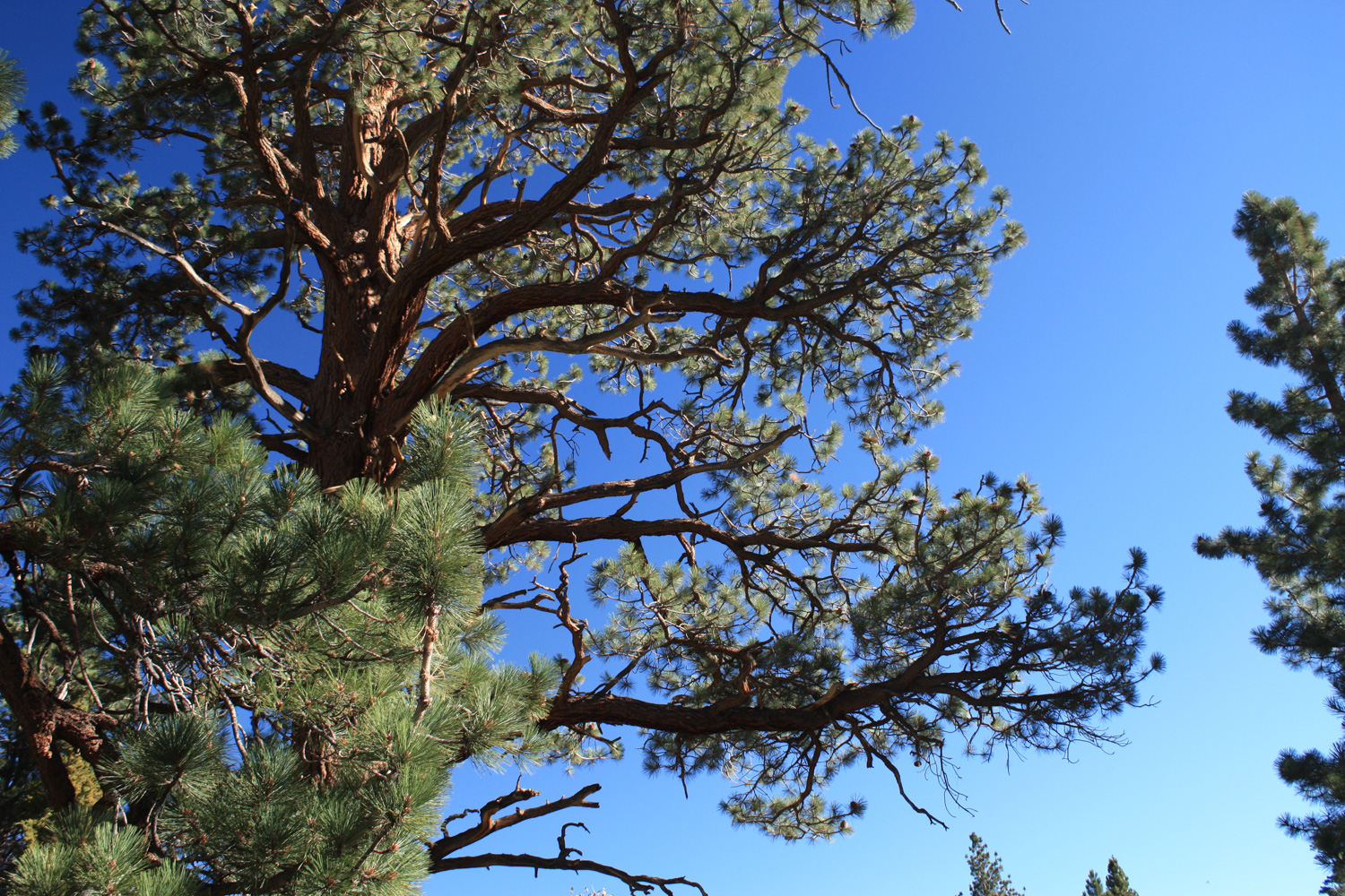
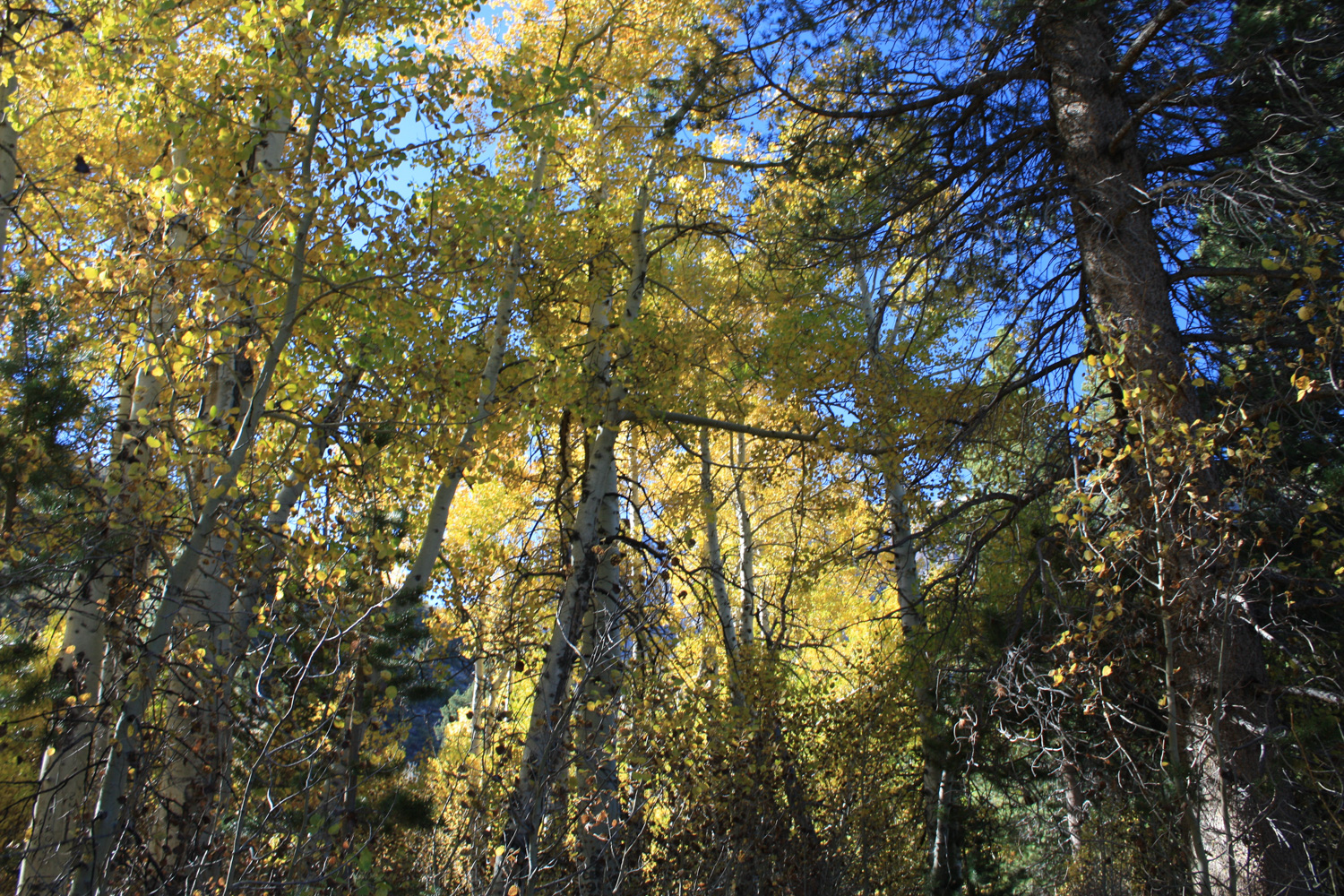
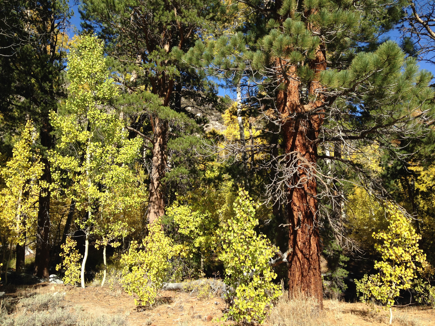
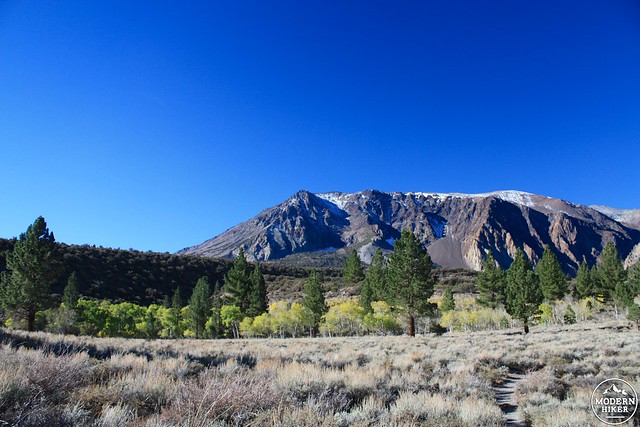
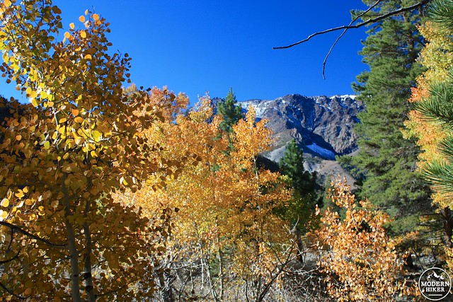
As you climb, you’ll be able to see into Parker Creek Canyon itself. Although you’ll still be above the creek for a while, the effect that steady water flow has on the chaparral is very apparent as sagebrush gives way to mountain mahogany, Jeffrey Pine, and red fir – along with quaking aspen closer to the creek itself.
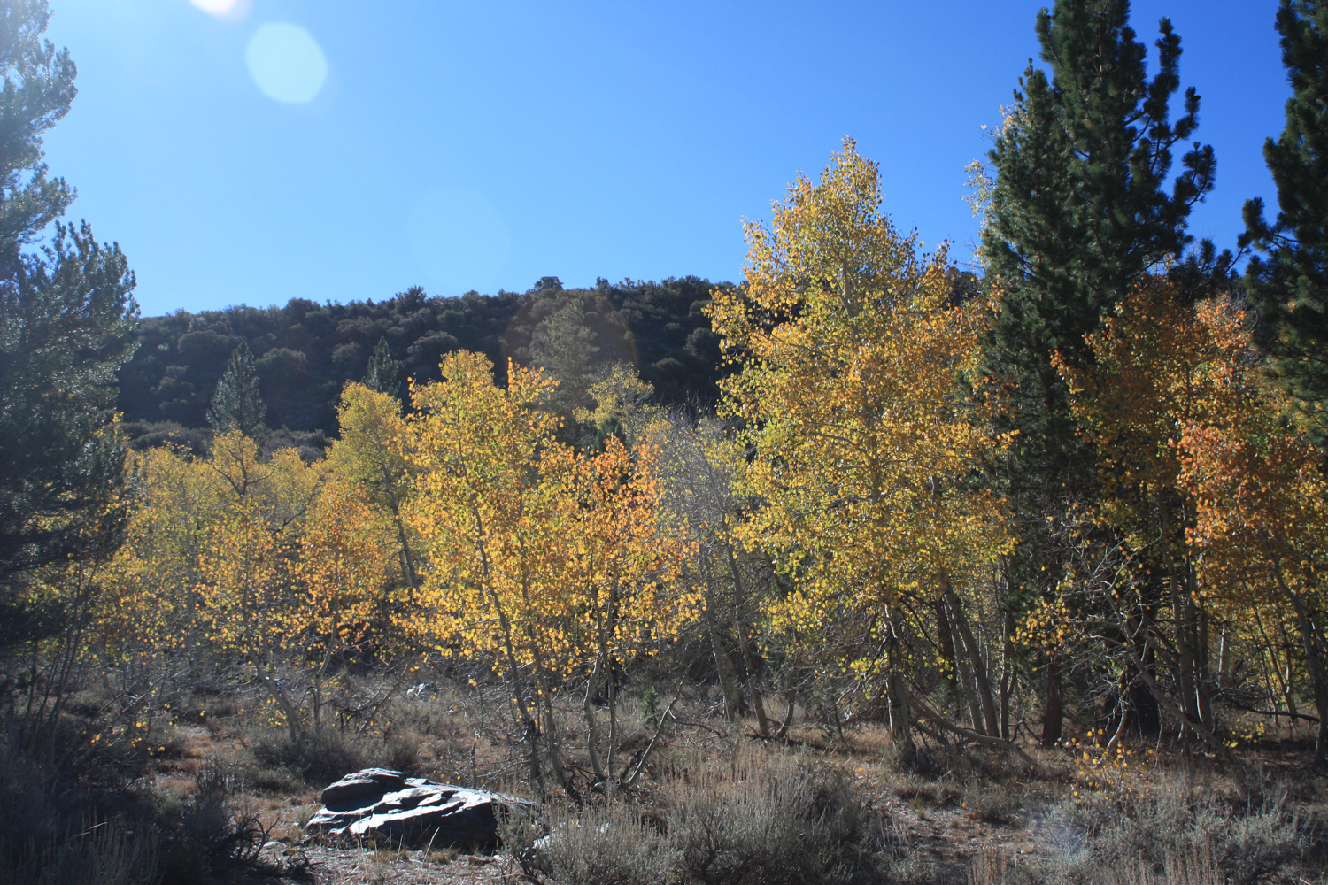
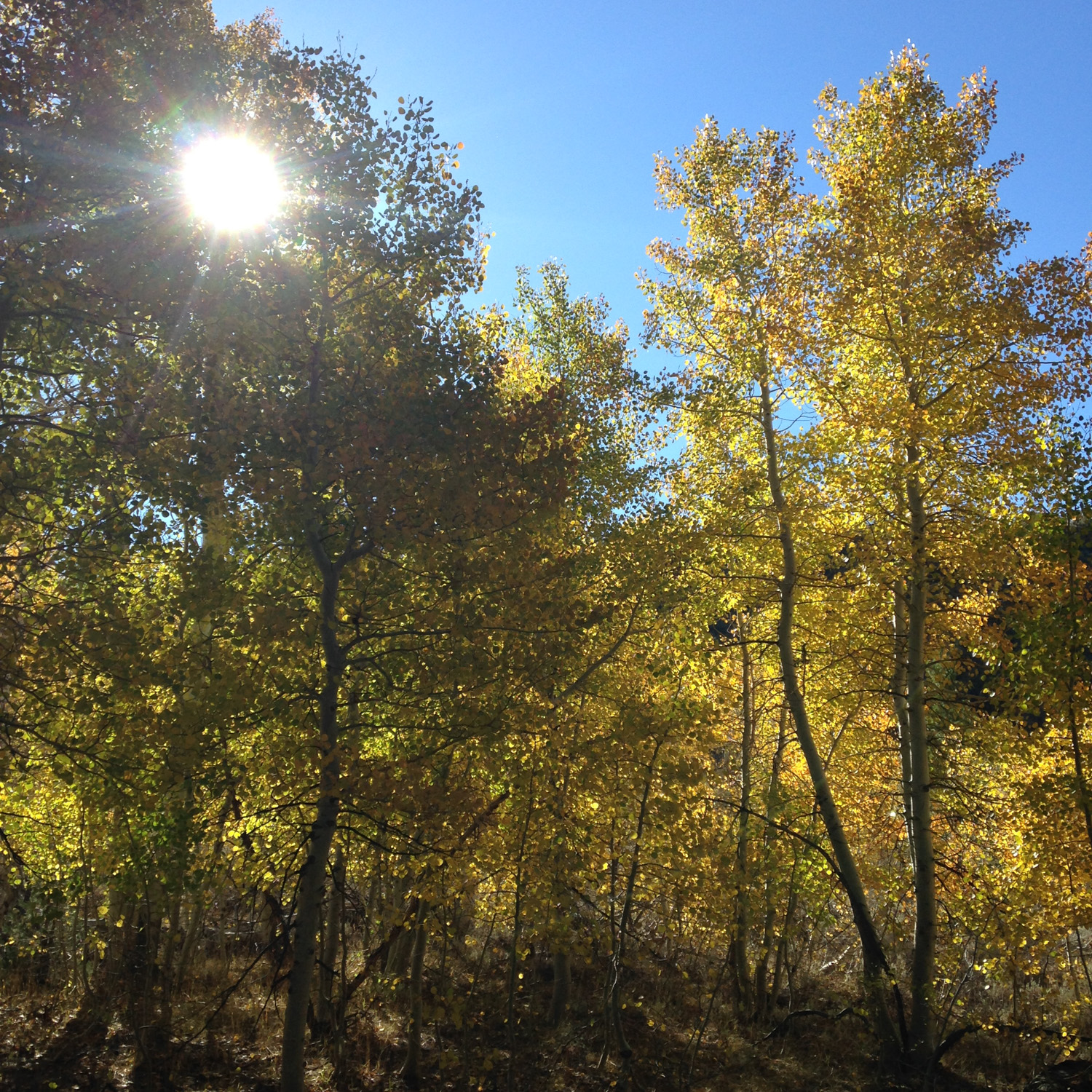
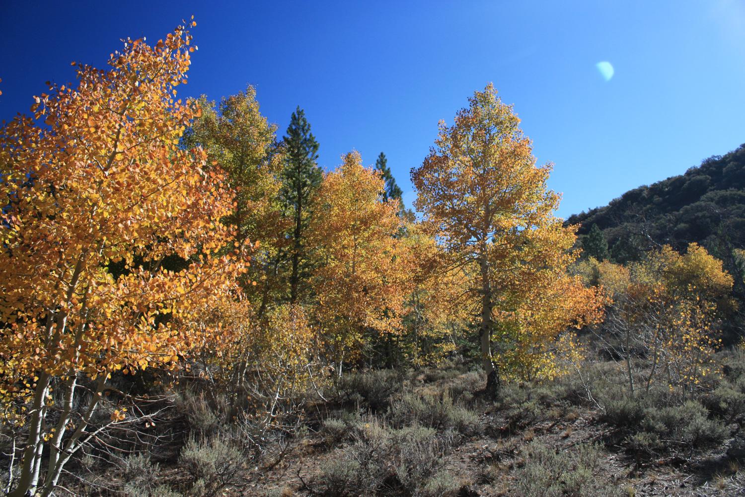
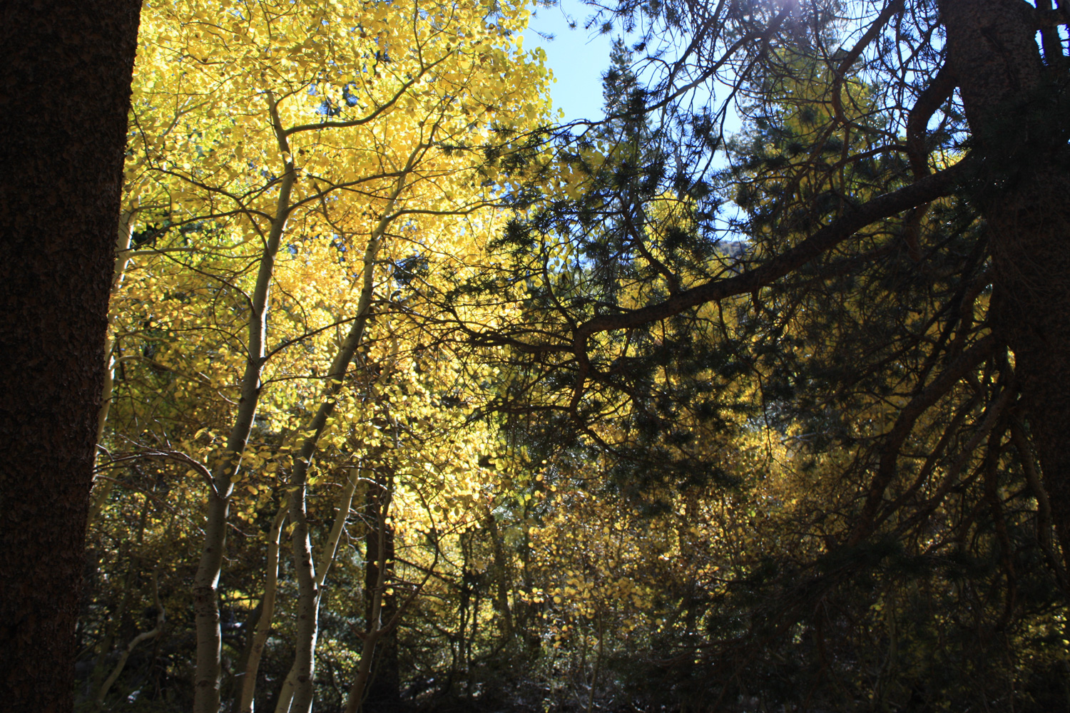
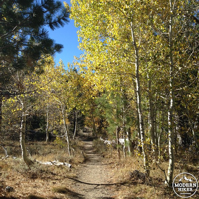
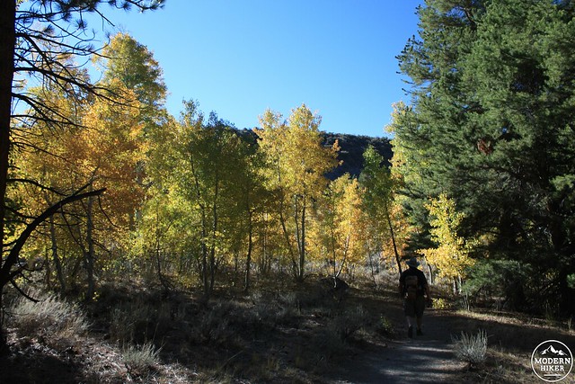
The trail makes a few more short climbs before hitting a mostly flat stretch of trail that continues until you reach Parker Lake. You’ll pass through a few different aspen groves along the way here, so be prepared to take some extra time to snap some photos – especially if you’re coming during peak color.
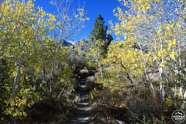
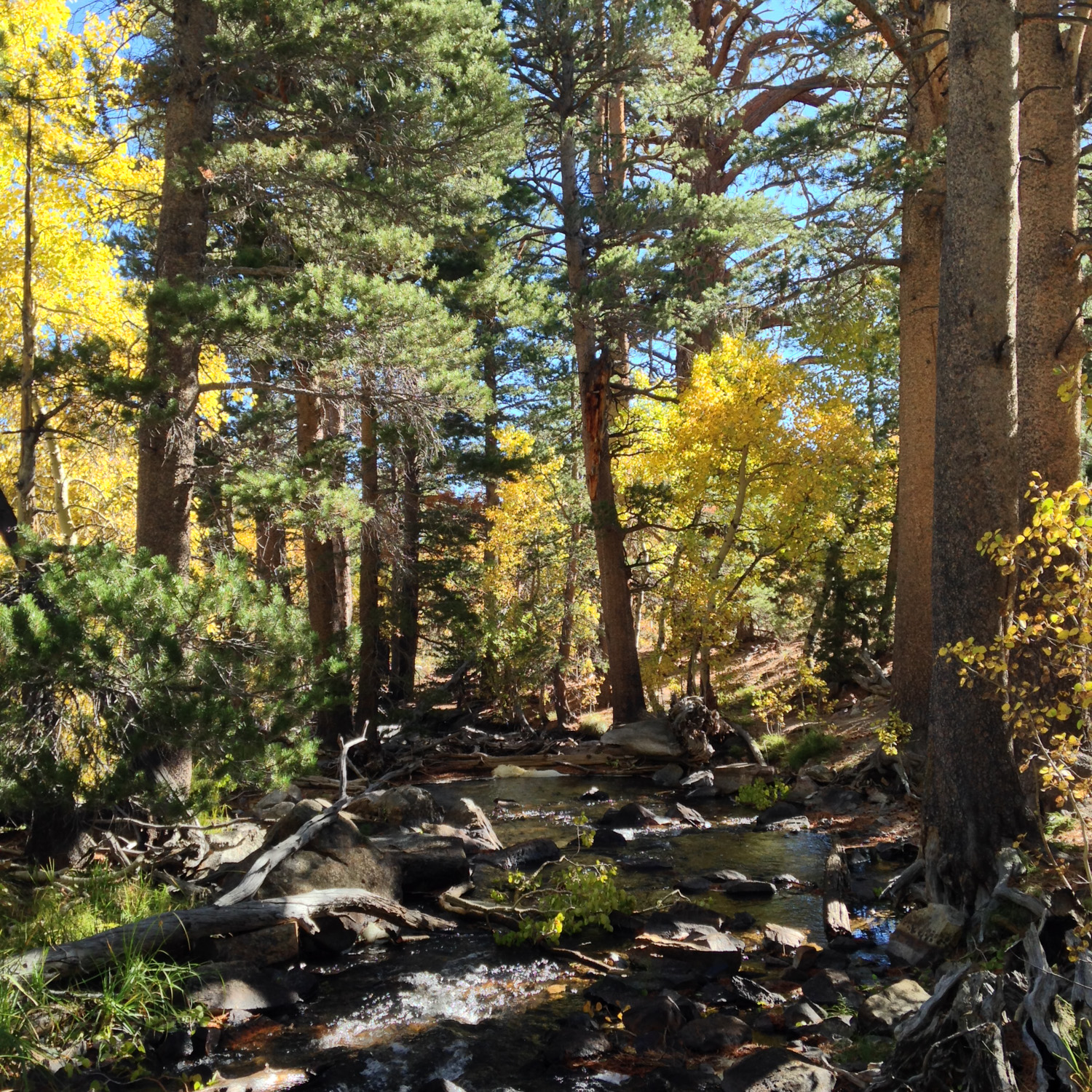
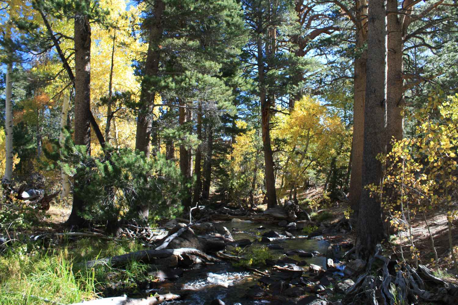
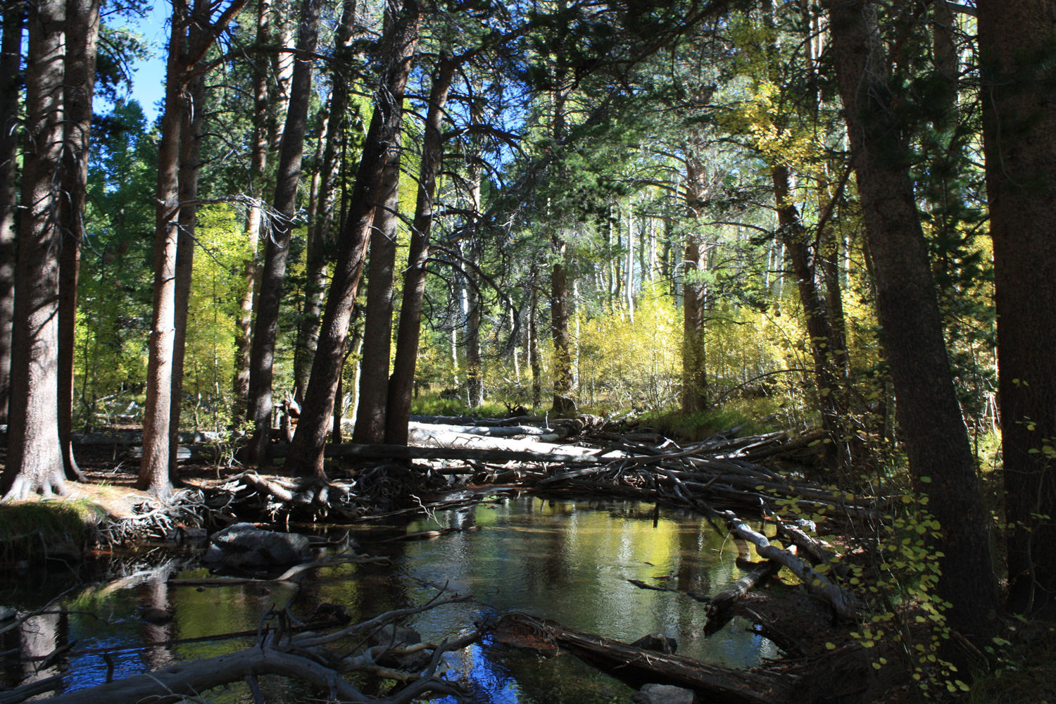
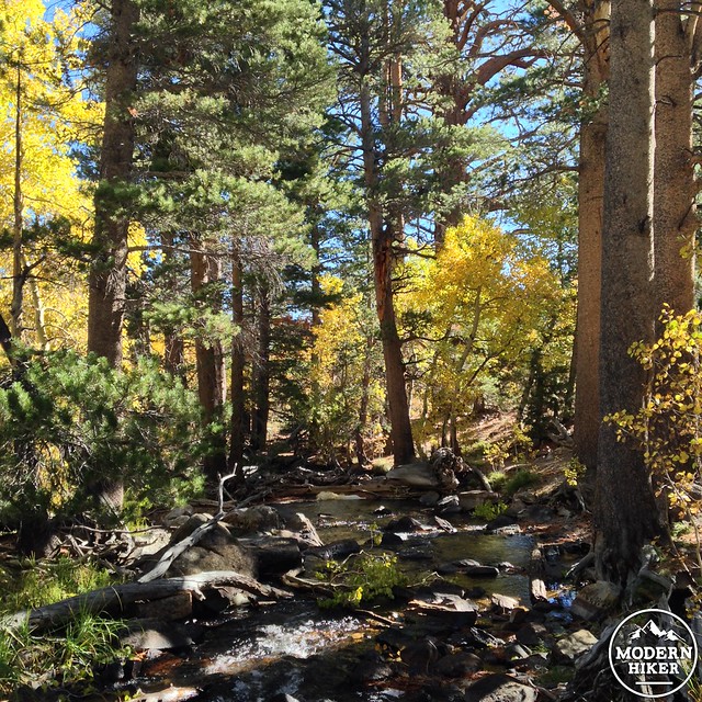
After making its way through a small pine grove, the trail skirts the banks of Parker Creek – creating one of the most photogenic non-lake or peak scenes I’ve ever encountered in the Sierra. You may see some anglers casting into the creek here, or shutterbugs snapping scenes, or just fellow travelers taking a moment to soak in all the beauty.
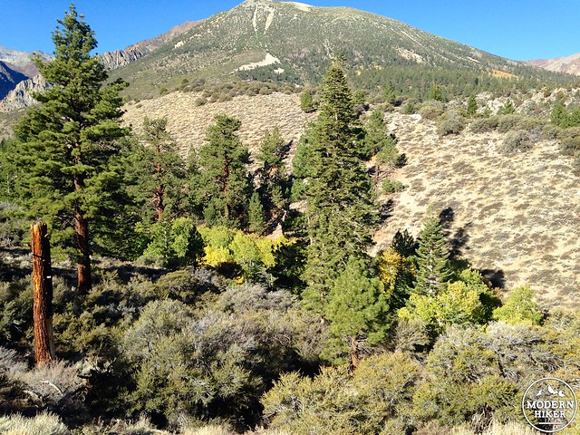
It’s smooth, mostly flat hiking through several more aspen and pine groves on your way to Parker Lake. At 1.7 miles, stay right at the junction with the Silver Lake Trail. In another 0.2 miles, the forest clears as you reach the northeastern shore of your destination.
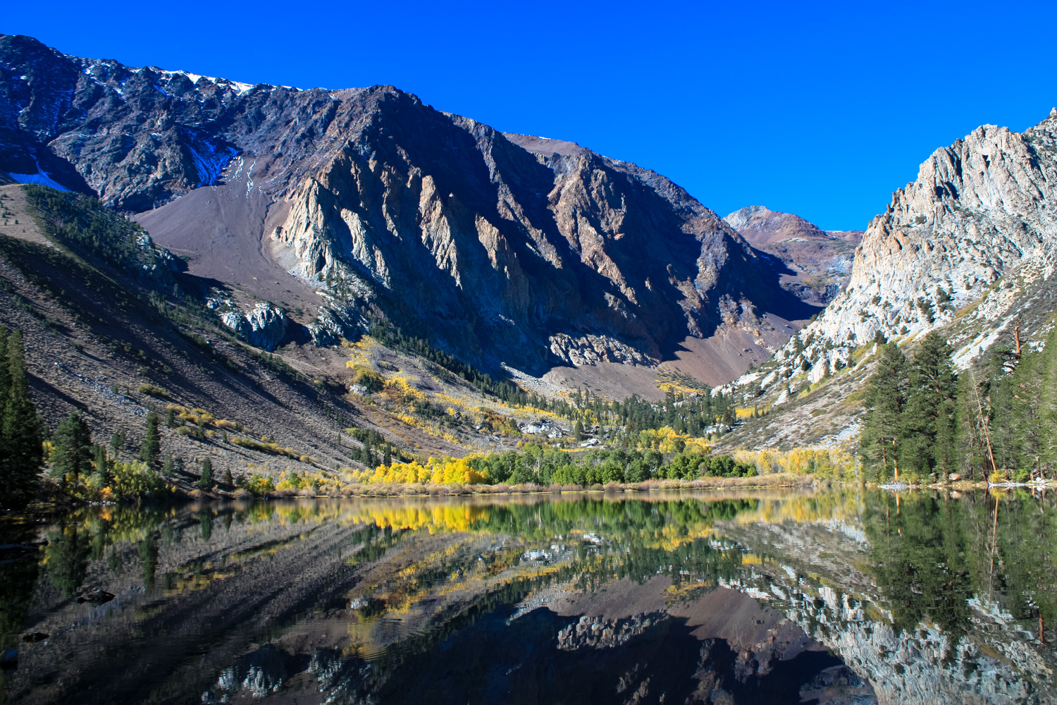
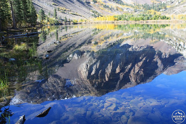
Prepare to pick your jaw up off the ground.
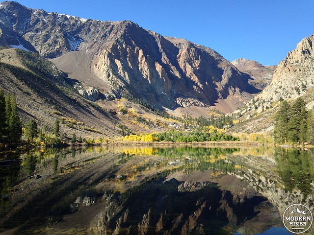

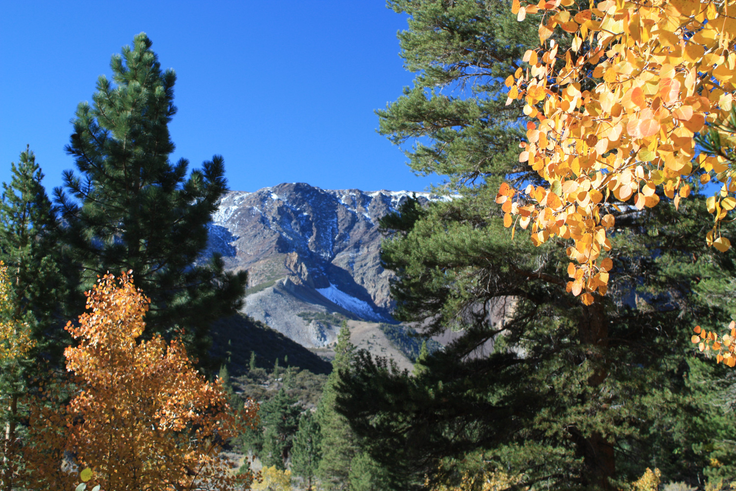
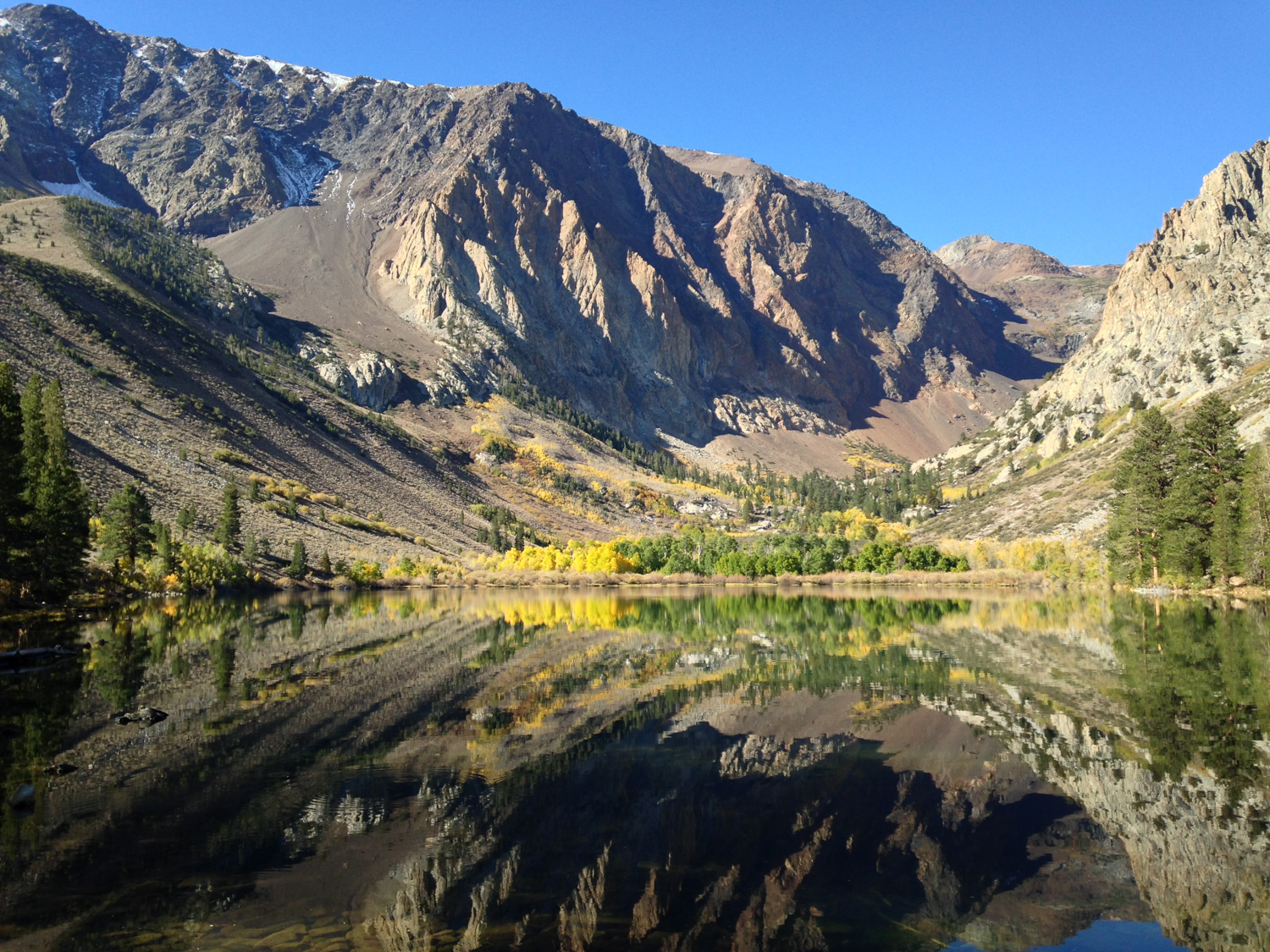
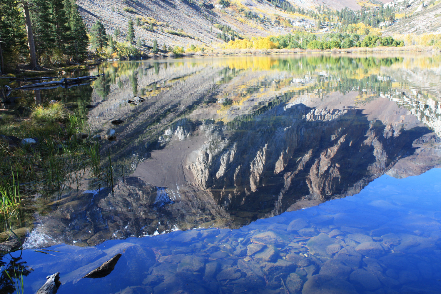
Calm, crystal clear water provides a mirror of Parker Peak and Mount Wood as well as the closer rugged southeastern slope of Mount Lewis. Extensive aspen groves on the opposite shore of the Lake provide a splash of color in the valley as fish leap up from the water’s surface to snatch insects. It’s tough to compare the lakes in the Eastern Sierra for their beauty, but as I sat on some rocks just inside the lake and took in the scene, I also had a great time watching other hikers’ reactions as they emerged from the woods. Conversations stopped in mid-sentence as people saw Parker Lake, their words replaced by gasps and exclamations on a sliding scale of family friendliness.
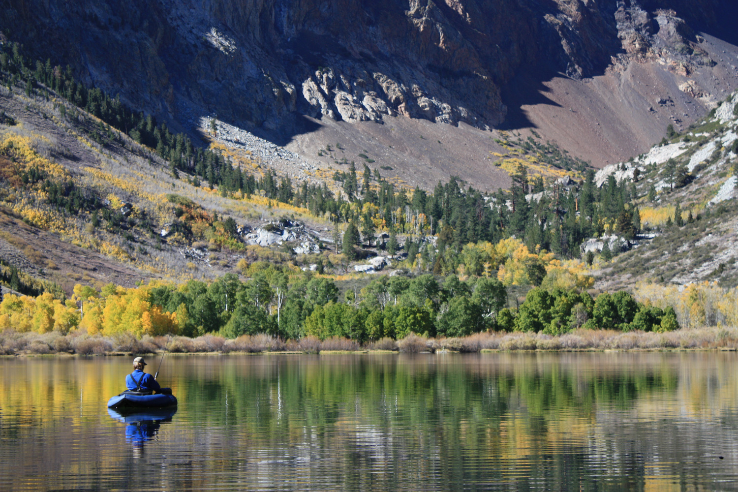
This trail was a popular spot for hikers and photographers, but I also saw a few hunters and several anglers – including one who hauled in a mini inflatable raft to float around the lake on. Even though the dirt road approach probably keeps out the most casual of travelers, you’re not likely to find a lot of solitude on this trail – especially during peak foliage season – but everyone who approached the lake seemed so awestruck and reverentially quiet that it still felt like I had the whole place to myself.
Breathe in that crisp mountain air as deeply as you can, then return back the way you came – making sure to enjoy the differing light on all those aspen groves you hiked through on the way in.
Tags: alpine lake, Ansel Adams Wilderness, aspen, Backpacking, fishing, foliage, Inyo National Forest, June Lake Loop, parker lake