Mentryville Park is a moderate hike through a historic ghost town and oil-drilling village outside Santa Clarita. Beyond the oil history, the site also features beautiful rolling hills and lovely views, especially in the cooler months.
There are many reasons why California is what it is today – but you can argue that more than anything, two natural resources were instrumental in building the region and even making the land United States territory: gold and oil.
Those who bemoan Southern California’s lack of preserved history need look no further than present-day Santa Clarita. To its east in Placerita Canyon, California’s first gold was discovered in 1842 – a full six years before the better known strike at Sutter’s Mill. And here in Pico Canyon – less than 10 miles from Placerita as the crow flies – sits the site of California’s first commercially viable oil well.

Alex Mentry – Photo donated by Chevron to the Santa Monica Mountains Conservancy
The region had been explored for oil before (nearby Towsley Canyon has its own oil producing history), but it took a 30-year old French immigrant named Charles Alexander Mentrier (better known as Alex Mentry) to drill the 617-foot deep well known as Pico Number 4. When it was turned on for Pennsylvania oil man Demetrius G. Scofield’s California Star Oil Company on September 26, 1876, it struck a gusher and would continue producing oil until the year 1990, making it the longest operating oil well in the world.
After the strike, up to a hundred families moved into the canyon in a settlement that became known as Mentryville. A schoolhouse went up in 1885, Mentry and his family lived in a 13-room mansion, and this boomtown was the first in the Santa Clarita Valley to have gas lighting. The town also had a bakery, social hall, blacksmith shop, machine shop, and boarding houses – as well as a gas-lit tennis court and main road paved with local asphalt. Apparently there were no saloons, though – Mentry supposedly prohibited both drinking alcohol and the use of foul language in his boomtown.
At its height, Mentryville had 74 oil wells and produced 100,000 barrels of oil a year, but declining output and Mentry’s death in 1900 saw most of the workers and their families move on to other projects. In the 1930s, most of the buildings were moved or sold for scrap and as quickly as it sprung up, Mentryville became a ghost town. California Star Oil Company became part of Standard Oil and oil field superintendents and foremen continued to live in Mentry’s mansion up until the 1994 Northridge earthquake made it unsafe for habitation.
Mentryville and the surrounding canyons became popular shooting locations for films and television shows, including Lassie movies, The Color Purple, the X-Files, Murder, She Wrote, and Big Love.
In 1995, more than 3,000 acres of land was transferred from the oil company (now Chevron USA) to the Mountains Recreation and Conservation Authority, which now operates Mentryville Park. For more on the history of Mentryville, please see this excellent description from the Friends of Mentryville. For those interested in the history of the park, interpretive tours are held on the 1st and 3rd Sundays of every month from 12-4PM.
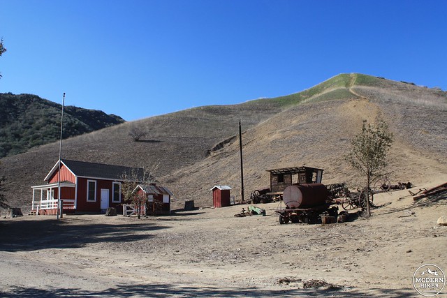
When you arrive in the parking area, you’ll be right across the Pico Canyon creek from Mentry’s “Big House.”
Cross the bridge and to your right you’ll see a building that looks like a garage. On the other side of the building, it looks like a cottage house.
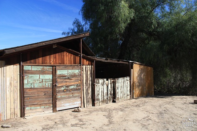
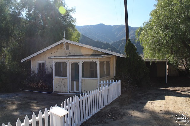
This seemingly nonsensical combination of styles is because the building is not a functional house nor a garage – but it was built in the 1980s for film shoots in the area.
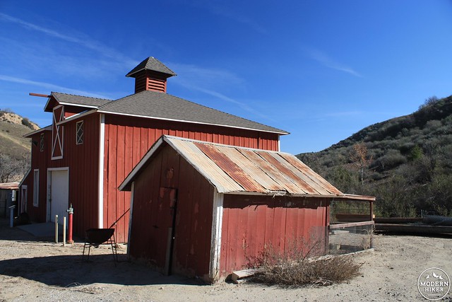
The barn next to the “movie house” was functional, however, and still seems in fairly good condition.
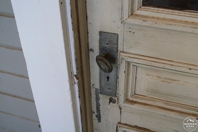
Mentry’s house is definitely the star building of this ghost town. It appears that the building is undergoing some renovations – and potentially in a style that may replace structural elements instead of preserving them. The siding and trim on the house look almost brand-new – as does the wood on the roof of the wrap-around porch.
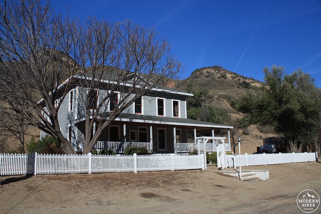
You can peer into the windows of the building to get a sense of the style and architecture that’s still off limits to visitors for now. There are exquisite details – from the entry parlor staircase to the original doorknobs. Groups like the Friends of Mentryville are raising funds for the Big House’s restoration and renovation, and hopefully they will keep the restored structures as close to their historic original designs as possible.

Mentry’s “Big House,” date unknown. Note the chimney on the left side of the house, which collapsed – photo by Darryl Manzer
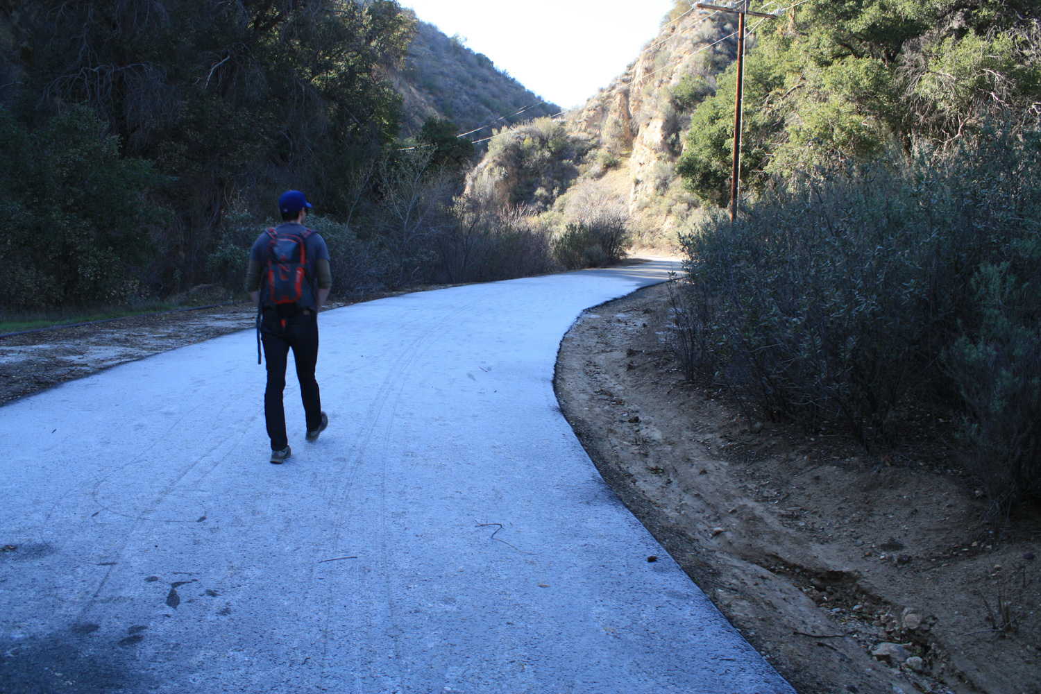
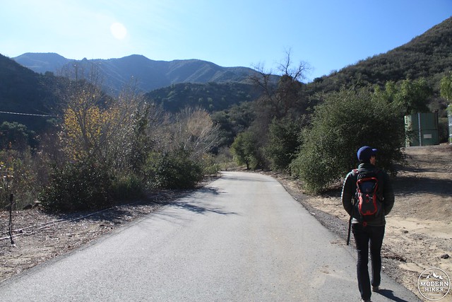
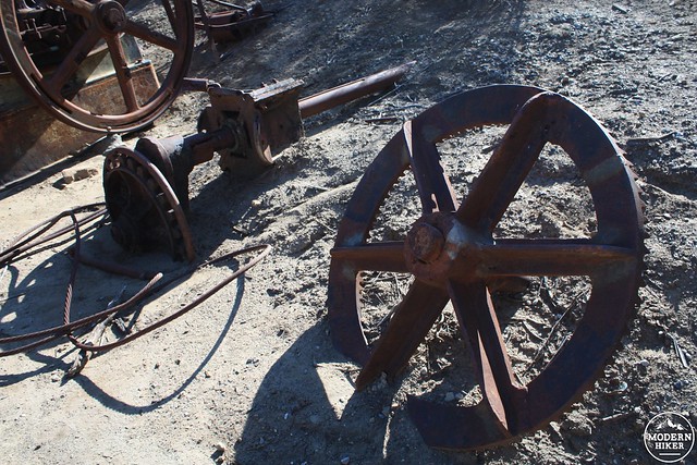
To begin the hike proper, head south on the paved road away from the Big House. You’ll pass some leftover mining equipment laying out in the fields near the Felton School, which had students from 1885 to 1932. It was the first schoolhouse in the Santa Clarita Valley that wasn’t also a residence.
That’s about all that remains of the residential areas of Mentryville, but looking at photos from the 1920s you can tell that while the town was still sleepy – even by other boomtown standards – there was still a lot more going on. This photo, dated sometime in the 1920s, is looking south into Pico Canyon. The Big House and barn are at the bottom, and you can make out the schoolhouse and several residences.

Photo by Arthur B. Perkins, catalogued by Ted Lamkin
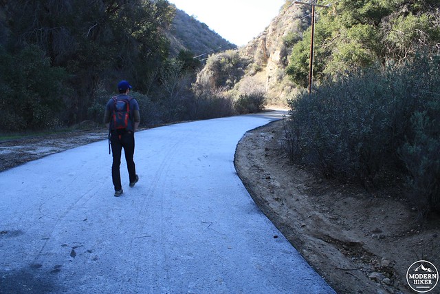
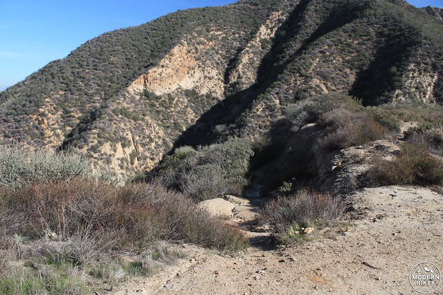
Follow the paved road for about 0.3 miles. There is a small picnic area on the other side of the creek bed and a trail that seems to head deeper into the mountains. For now, stay on the paved road.
some January frost!
At the 0.6 mile mark, the road splits in two – again with no sign. Both road grades meet up again just down the canyon, so it doesn’t matter which one you take.
In another tenth of a mile you’ll reach the site of Johnson Park. According to local canyon historian Stan Walker, this area was used as a recreation and picnic area for petroleum workers from the 30s through the 1950s, and was probably named for a long-serving employee in the 60s.
The area is still in good shape, and it’s not difficult to imagine the workers of yesteryear enjoying the concrete dance hall, barbecue pits, or craps tables.
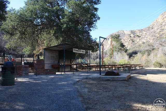
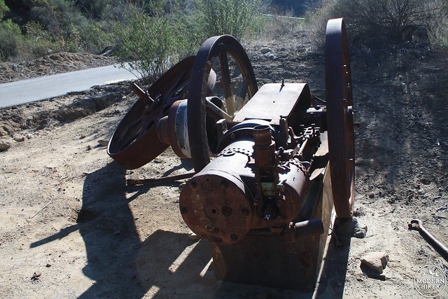
The most impressive thing you’ll notice in this area is the 25-foot wooden oil derrick toward the back of the park.
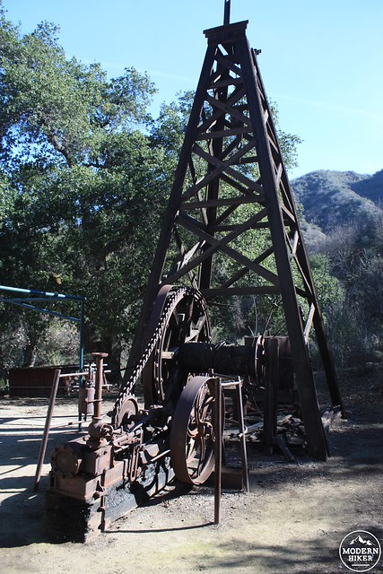
This derrick never ran here, though. It is a replica built in the 1960s from the abandoned parts of actual wells and derricks. Even though it’s fabricated, the detail and craftsmanship on the parts is stunning – and you can definitely get lost in thought imagining oil workers who had to navigate and operate these sorts of contraptions.
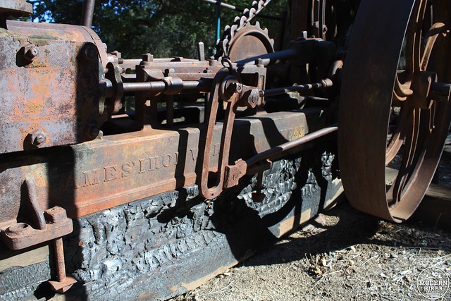
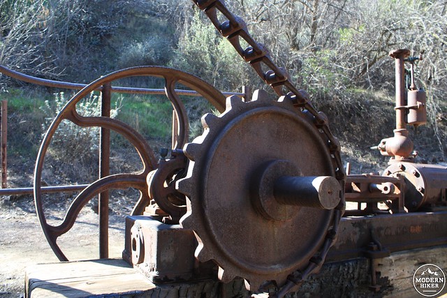

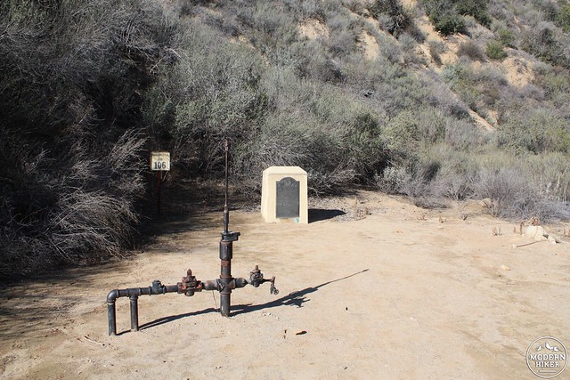
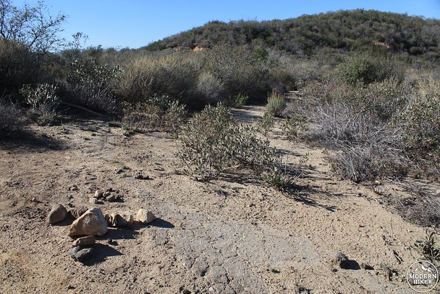
When you’re done exploring the camp, return to the road and continue deeper into Pico Canyon. At 1.3 miles, look for an old rope swing on the south side of the road near a gully right before a noticeable incline. Just before the 1.6 mile mark, the road crosses the creekbed again and to your immediate right you’ll see some more old oil equipment and two cement markers designating the site of the Pico Canyon #4 oil well – a Registered National Historic Landmark.

Pico Canyon No. 4 circa 1877. Photograph from the collection of Leon Worden
Pico Canyon No. 4, circa 2015.
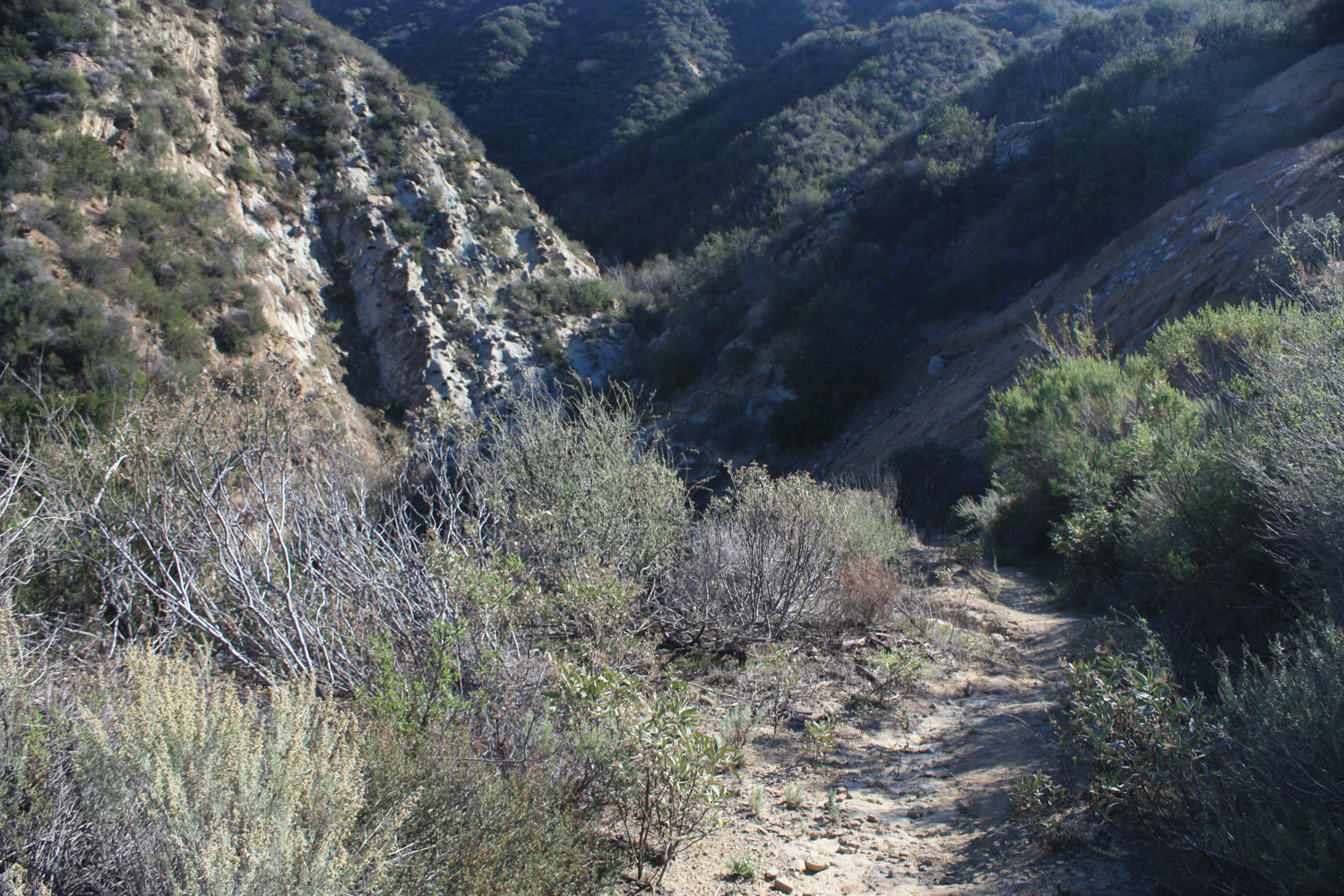
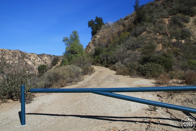
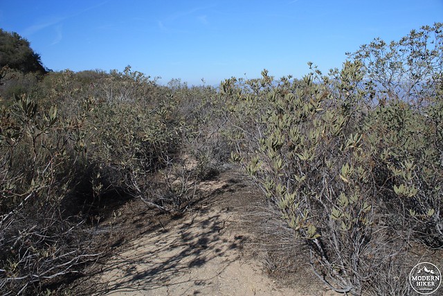
Past the historic oil site at Mentryville, the paved road officially ends at a gate, but you will continue along the road grade as it makes a steep incline along a ridge to the south of the road you came in on.
The road is mostly dirt here, but there is still some underlying pavement underneath – and the road system extends deep into the Santa Susana Mountains.
From speaking with MRCA rangers, these roads are also remnants of the region’s oil mining days – leading to other well sites or exploratory digs. As you keep climbing up in elevation, you’ll marvel both at the tenacity of these early road engineers and at the sheer beauty of the landscape’s unusual geology.
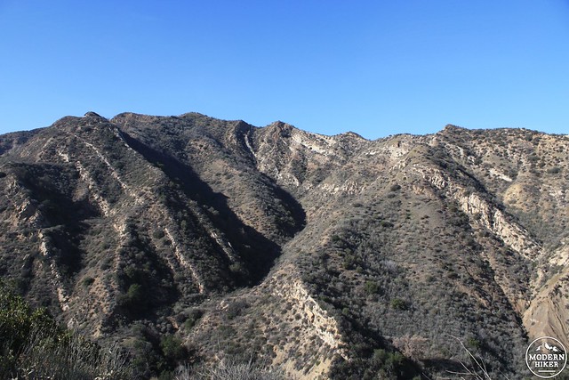
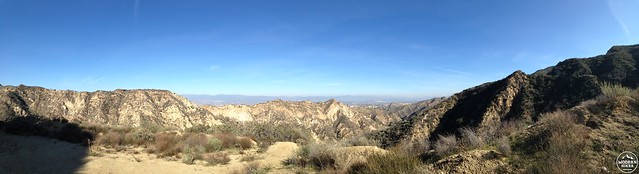
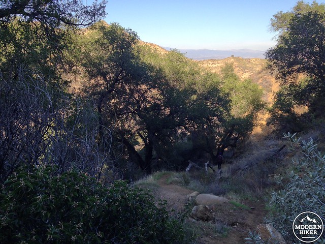
Continue on the road, soaking in the beautiful views north toward Valencia. At the 2.4 mile mark, note the faint trail leaving the old road on the east side of the trail. If you’d like an extra challenge on your hike back to the trailhead, this will be your return route through Hughes Canyon.
But for now, stay on the old road as it continues to meander and weave its way through the tough terrain. At the 2.7 mile mark, it looks like you’ve reached a narrow saddle between the road and another peak to your west – it is actually, surprisingly, another road.
Follow this road through some thick groves of sage and thick leaf yerba santa (which others have told me makes a good tea or an energizing chew – but I can’t vouch for either of those recipes yet!).
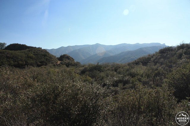
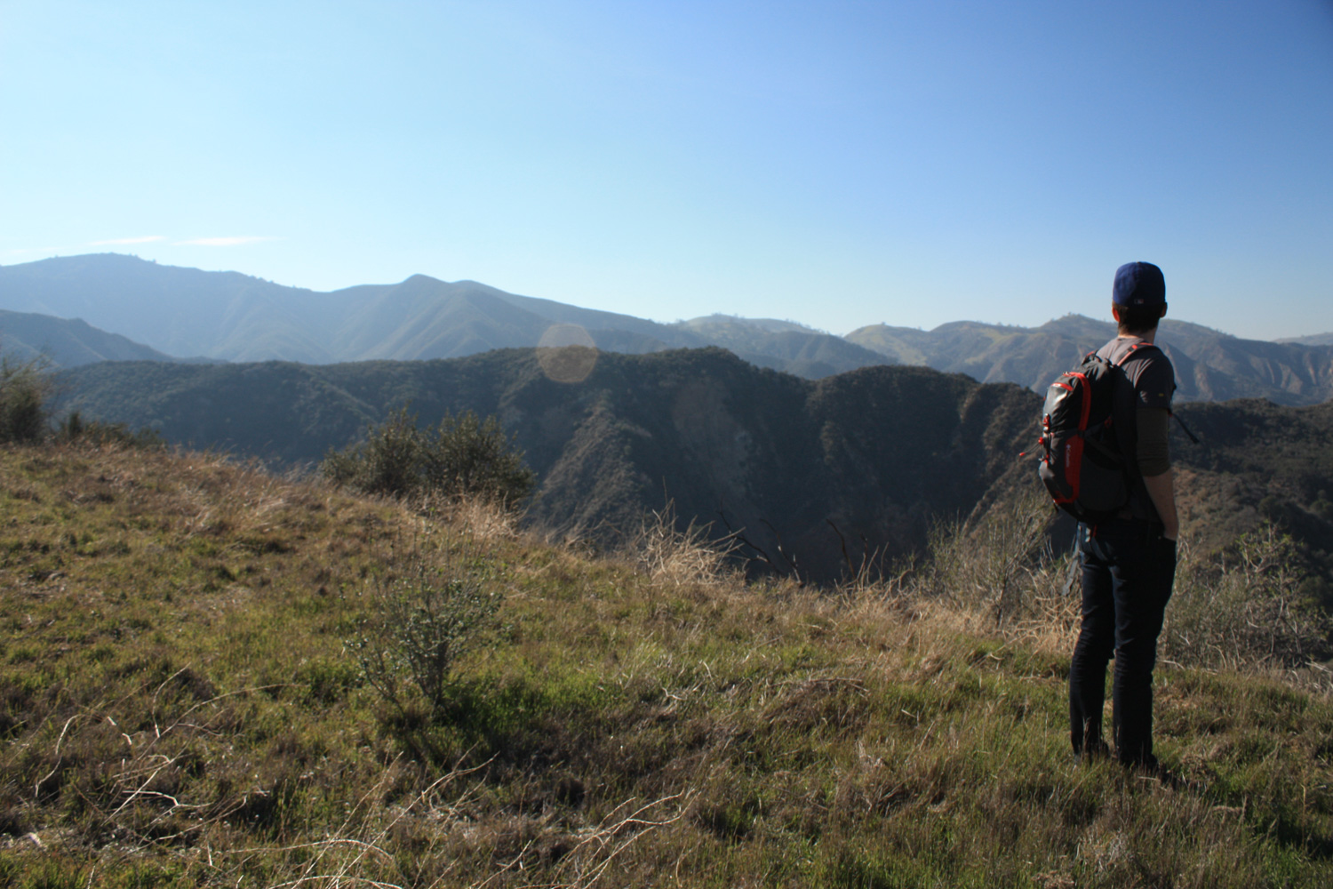
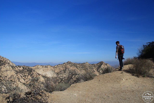
Just before the 2.9 mile mark the road dissolves into the landscape and ends more or less on a small meadowed flat with unbelievable views of the Santa Susana Mountains.
The sense of peace and solitude here is almost overwhelming. It’s more than a little mind-blowing to think that just over the ridge of those mountains are the cities of Chatsworth, Porter Ranch, and Granada Hills – and that the Golden State Freeway is only a little more than two miles to your east – but here you’re presented with an empty (though not untouched) natural landscape and overwhelming silence.
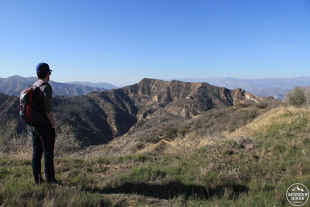
Enjoy a lunch or snack or scramble up to a nearby hill – then return back the way you came in.
If you want to keep this hike on the easy side, return back to the trailhead on the road. It will be about a six mile roundtrip but a fairly easy return. If, however, you’re up for a little adventure, follow the track as described.
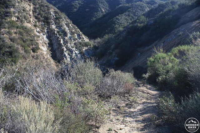
Back at that turn-off (it should be at about the 3.4 mile mark on the return trip), leave the road to hop onto a single track trail. This route makes a steep descent into upper Hughes Canyon and passes some challenging but really fun topography along the way.
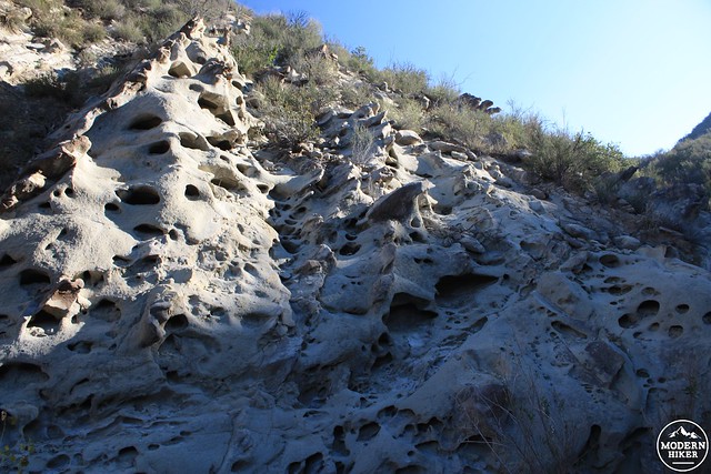
some wind cave formations around mile 3.5
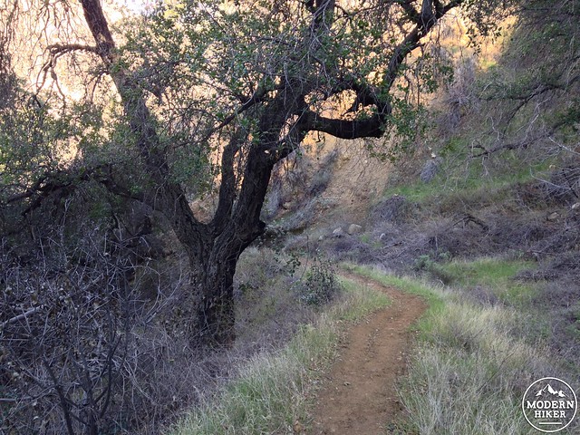
The trail here is significantly steeper than the road you came in on and is slippery in places, so take your time if you need to – and be sure to enjoy the scenery. You’ll pass a surprisingly large grove of live oaks in the lower reaches of Hughes Canyon … and you may notice a faint smell of sulfur in the creek water, too.
This trail ends right back at Johnson Park – from here, hike back to the trailhead along the road … and the next time someone tells you there’s no history around here, now you’ve got a story to tell them about Mentryville.
Tags: boomtown, ghost town, Granada Hills, history, Mentryville, mountains recreation and conservation authority, Newhall, oil, Pico Canyon, santa clarita, Stevenson Ranch, Sylmar