With so many day hikes to choose from near Denver, it can be pretty overwhelming to pick just one. Although there are endless networks of hikes west of the Mile High City, the north also has a lot to offer. Venture up Route 25 for about an hour and you’ll be in Fort Collins. The northern area of the Colorado Front Range is home to beautiful vistas, many with moderate grades and distance – and are often less crowded than those near Denver.
Horsetooth Rock sits atop Horsetooth Mountain at 7,256ft. It is the highest point in the Horsetooth Mountain Open Space Park. Note that this hike is a moderately short but strenuous out and back trek to the top, and it’s worth every step. The trail is very well maintained, with a series of stairs and switchbacks along the way that make the 1,400ft of elevation gain really not so bad.
Horsetooth Rock is also the most recognizable feature in the park. Native American legends describe the rock as being the remains of an evil giant’s heart that was slain in a battle between two great warriors. However, as settlers later began to inhabit the region, they noted its resemblance to a horse’s tooth, giving it its modern name today.
The trail begins at the Horsetooth Mountain trailhead. Here you have two options. You can start up the Horsetooth Rock Trail, which is a foot travel only path on the right, or begin up the multi-use South Ridge trail to the left. The Horsetooth Rock trail will meet the South Ridge Trail 4 times along the way. Either option will get you to the same junction, in essentially the same amount of time, however it is recommended to use the foot travel path.
Begin the hike up the well maintained trail until you reach the Horsetooth Falls junction at about .3 miles. As the trail rises steadily, the path merges with the South Ridge trail, keep on the Horsetooth Rock Trail.
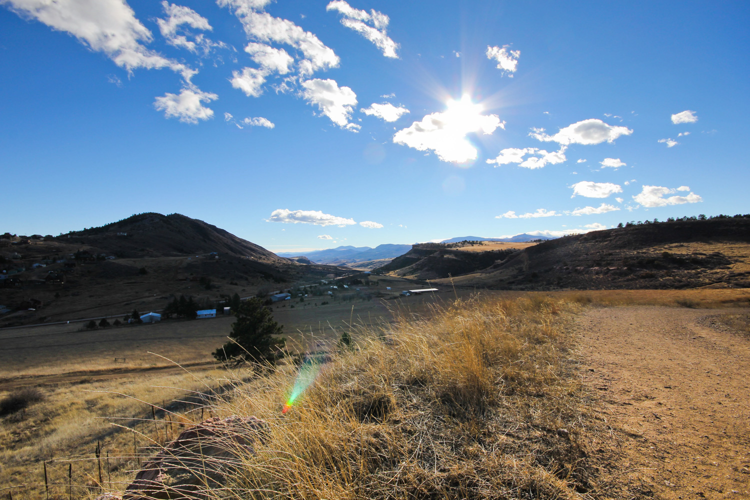
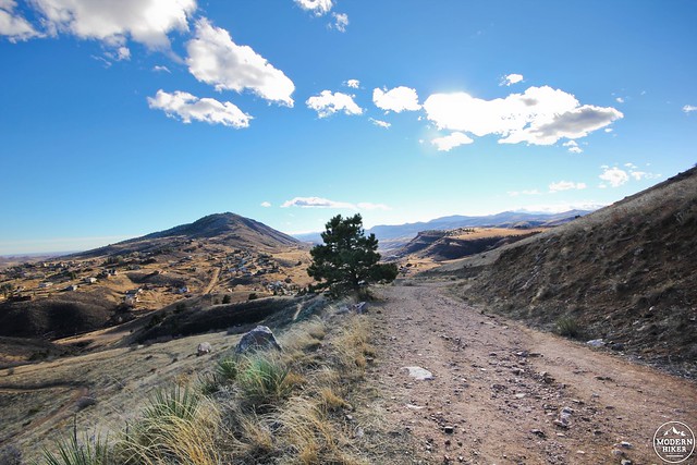
From here you will rise through open meadow and grassland on the dirt path surrounded by cattails and tall grass. This portion is particularly beautiful on a warm bluebird day late in the afternoon. When the sun illuminates the western face of the mountains in the foothills below, the landscape unfolds behind you to the South, and you catch glimpses of Horsetooth Reservoir to the East, shining in the sun as it cuts its way through the land below.
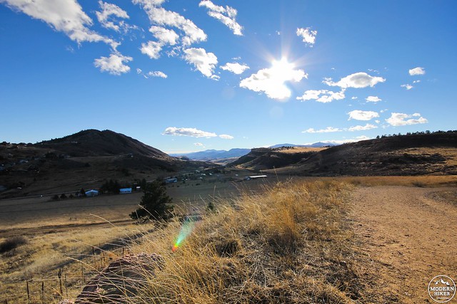
Horsetooth Rock is in a sort of ecological sweet spot. It is transition zone, an area that straddles the grassy plains to the east and the mountainous forest to the west. This makes it an ideal area for wildlife to inhabit. You may see mule deer bounding over the ridges across the way, or even notice them staring intently down on you from the ponderosa pines above. As you continue up the trail, it will begin to switchback.
At mile 2, Horsetooth trail merges again with the South Ridge, continue on the foot travel path to the right. If you want to get a good look at the Horsetooth from below, the path shoots off slightly to the left and is worth straying off to.
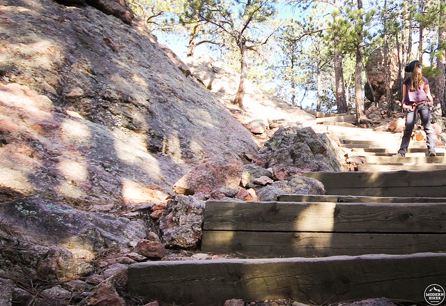
Further up the trail, 2.1 miles in, you will see the Walthen Trail split. This is also when the path starts to become a bit difficult to follow as you run into giant rock slabs. Navigate your way over them, and keep an eye out for a set of stairs carved into the rock ahead. At 2.25 miles you’ll see the Audre Culver Trail, another route that meets Horsetooth Rock trail on the way up. At this point you will be able to see Horsetooth Rock directly above you on the left.
Continue north over the rugged terrain, and at 2.5 miles you will reach a gap in the Horsetooth. To summit the rock will require some scrambling. If you are afraid of heights, this part can be a little unnerving, but stay focused, climb up, and the view you will have will make all of your efforts absolutely worth it.
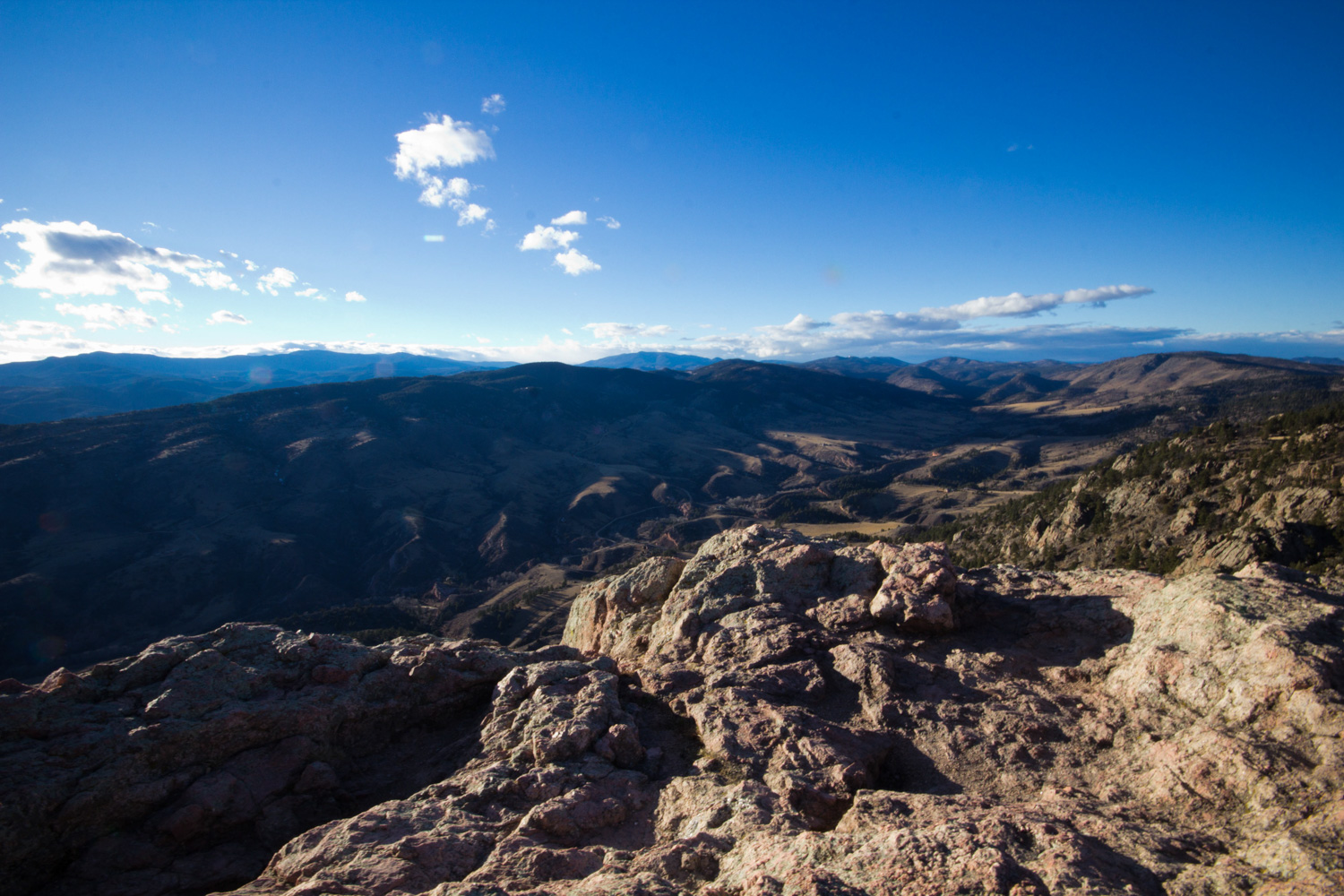
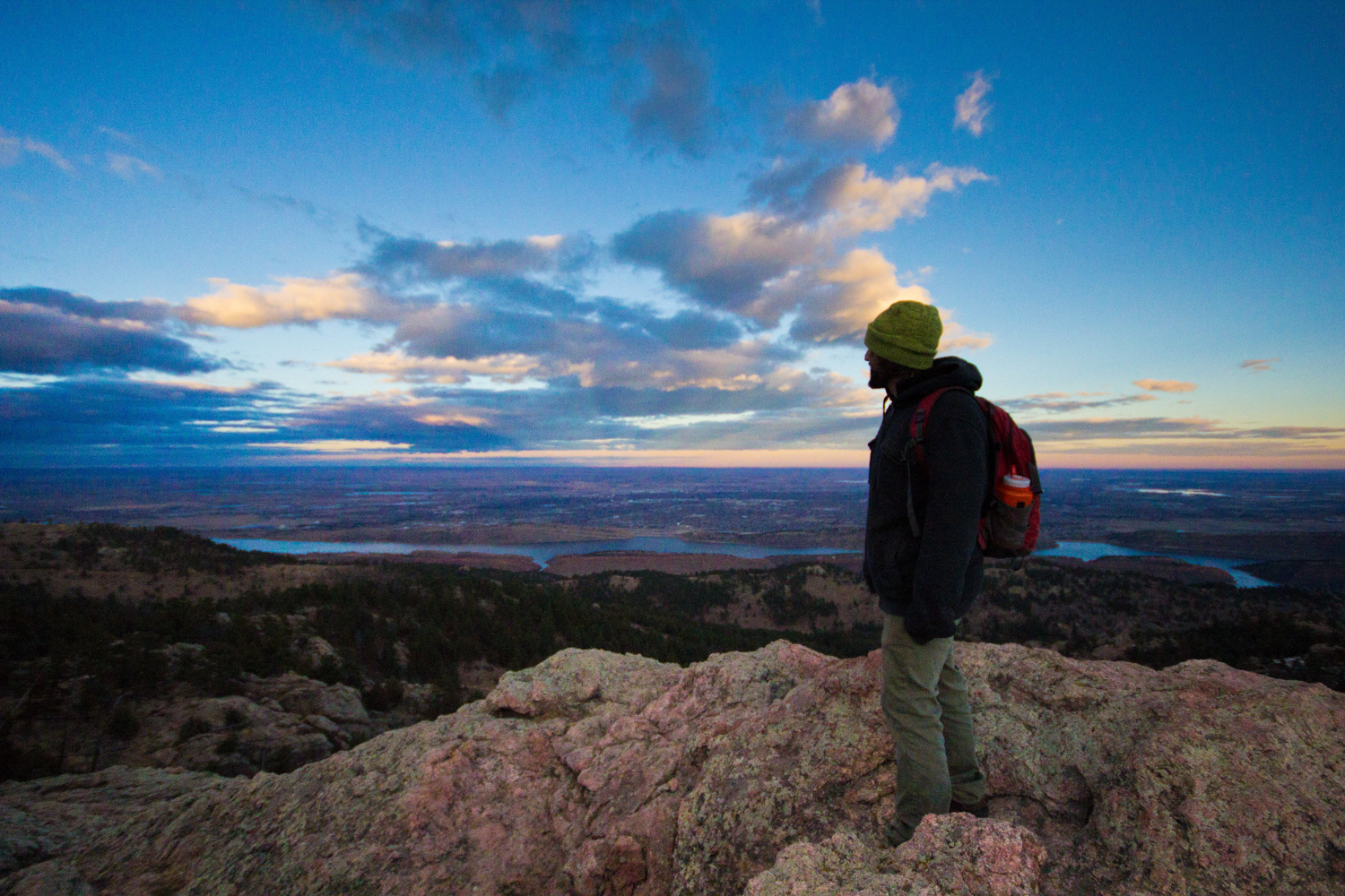
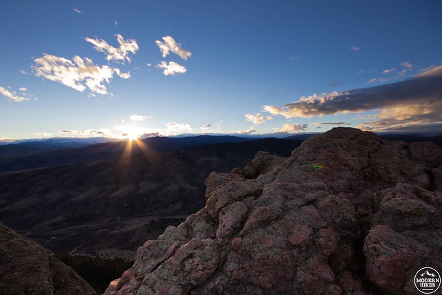
Once on top of the rock, you can breathe in a deep lungful of satisfaction and fresh mountain air as you take in the 360-degree views around you. To the east, you can see the plains stretch far into the horizon, and the city of Fort Collins sprawling out below the foothills. You get sweeping views from the south of the Devil’s Backbone and Long’s Peak, all the way up north to nearby Poudre Canyon. On a clear day you can also spot a very tiny city of Denver in the distance.
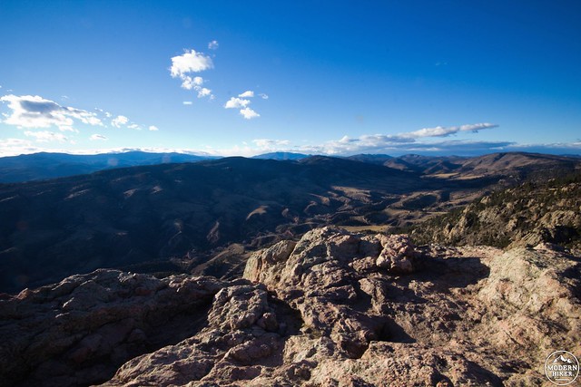
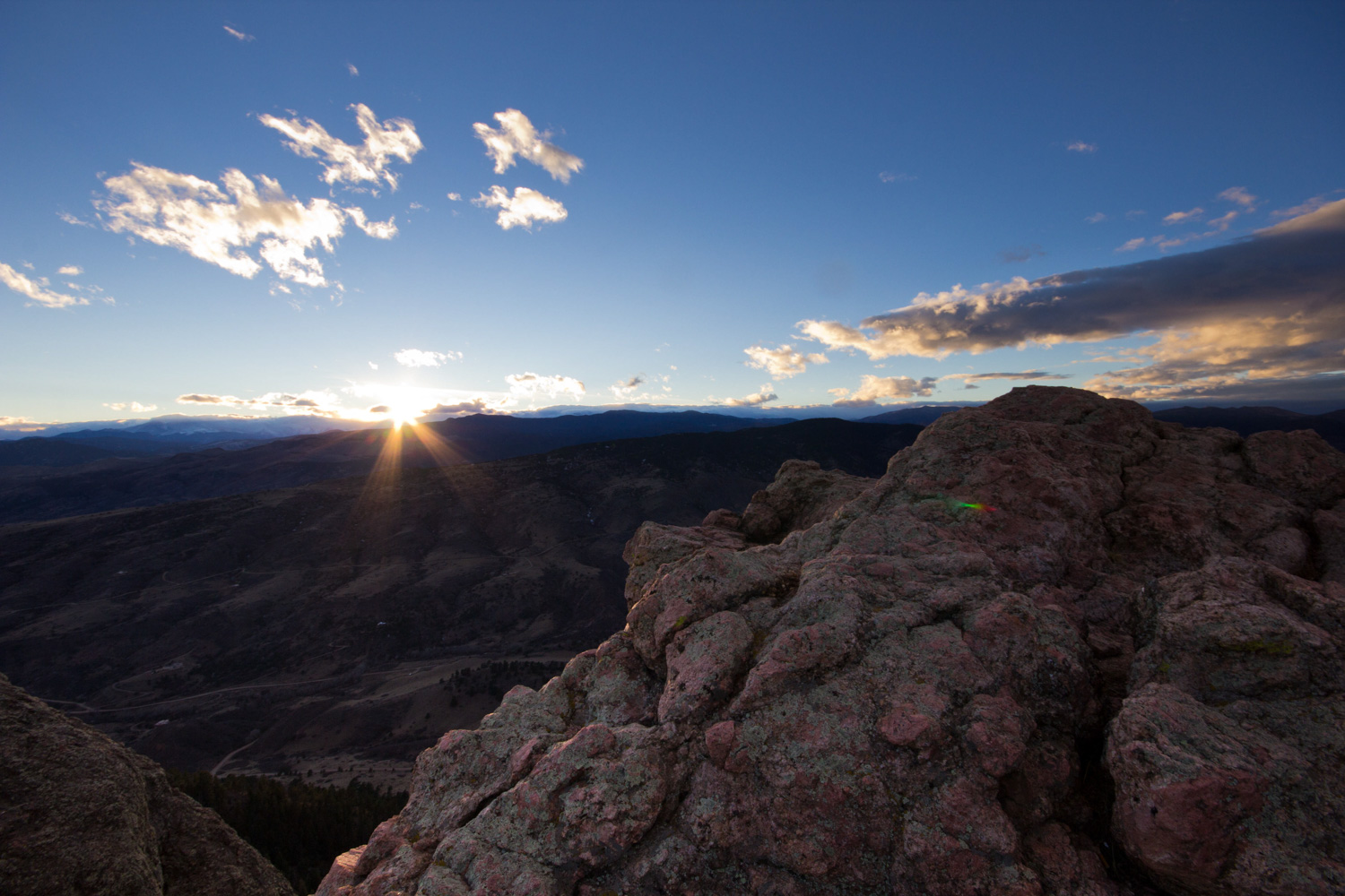
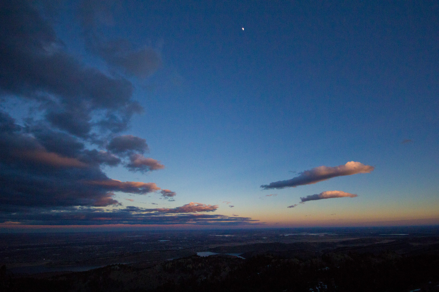
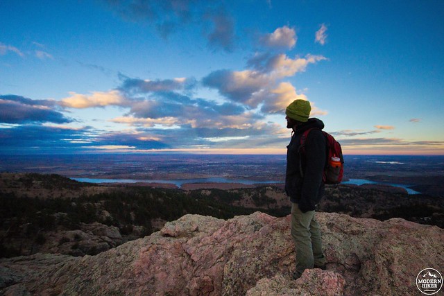
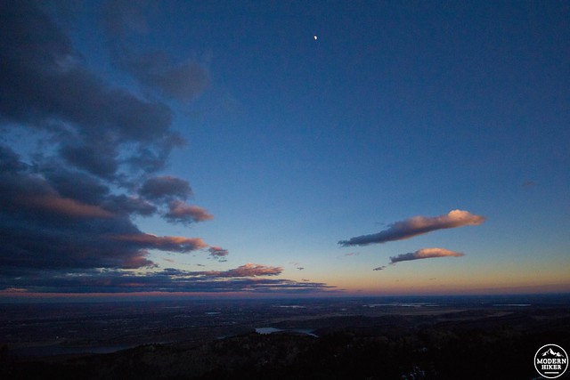
The most striking view from the top is the rolling ridges that meander away to the north. You can see roads snaking across the hogbacks below you, and gaze all the way west towards the divide. Find yourself a nook to rest in and take it all in. If you time it right, catching the sunset from the rock is a great way to cap off your already successful day hike. Just remember to bring your headlamp. Sunsets in Colorado are truly amazing. They can be full of fiery orange and pinks, as well as brilliant blues and purples, so definitely stick around for the show.
The way back will take significantly less time since it will be downhill the whole way. Just remember you have to get down from that giant rock you just climbed. Once you have successfully traversed your way down the rugged terrain, you’ll be back on a solid path, and it’s only a matter of following the Horsetooth Rock trail back to the parking lot at the bottom.
Tags: Colorado, Foothills, Fort Collins, Horsetooth Mountain Open Space Park, Rocky Mountains