A beautiful hike through a dense forest to a pair of beautiful emerald lakes sitting at the edge of an ancient reef. Located just outside of the town of Canmore and reachable via a fun but moderately strenuous trail or an easier fire road ascent, this route is popular with day hikers and rock climbers alike.
Grassi Lakes is part of the Canmore Nordic Centre Provincial Park in Alberta. During the warmer months, the park is primarily known for its extensive mountain biking system, but hikers can enjoy this lovely trail and have the place (mostly) to themselves.
From the trailhead, begin hiking westward on a broad path cutting through the forest.
In just 0.1 mile, you’ll reach one of the best signs I’ve ever seen on any trail anywhere:

the choice is yours!
Keeping to the right here will put you onto the Trans Alta Service Road, an easier climb up to the lakes but with not nearly as many views. Since you’re out here for a hike, keep to the left (More Difficult) to continue on the Grassi Lakes Trail.
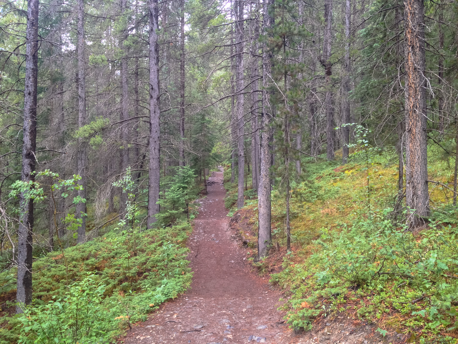
The trail turns to the south a bit, but continues a gentle, steady climb through a dense pine forest. Enjoy the mountains peeking out from behind the conifers and the occasional mountain stream cascading down the side of the slopes … and every once in a while, right across the trail itself.


A River Runs Through It … or at least, over it.
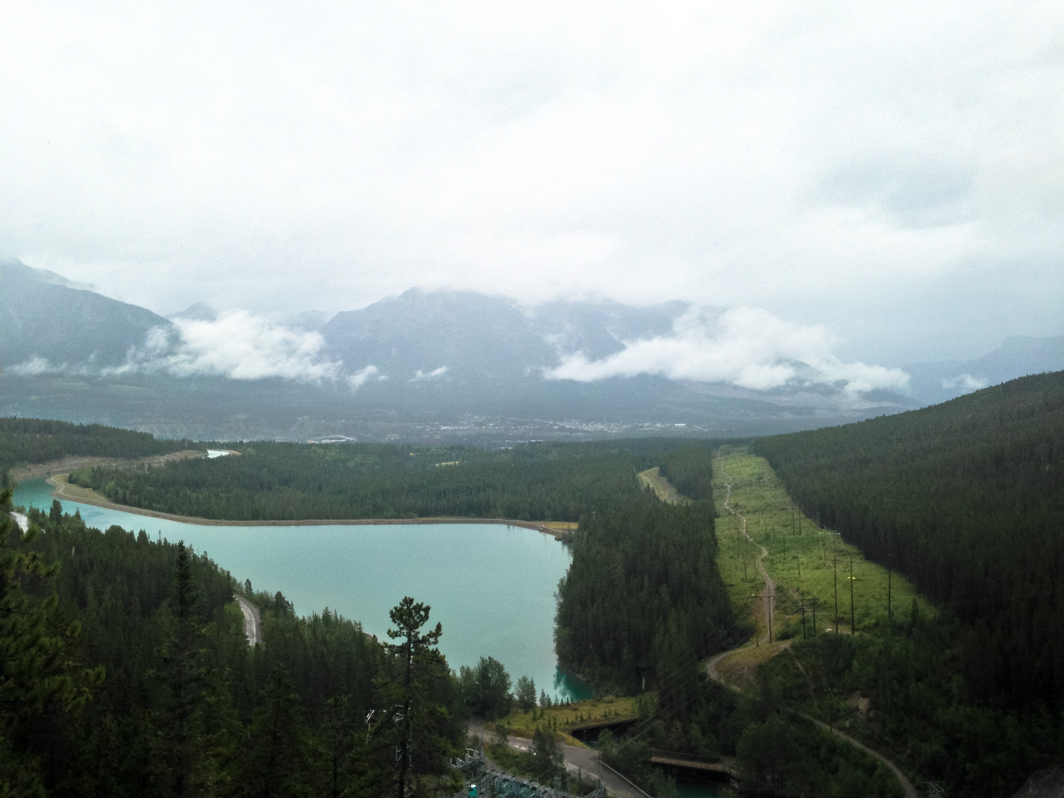
It’s pretty much smooth trail-sailing until just before 0.8 mile, where the trail meets a narrow ledge overlooking the cascade that flows from the Grassi Lakes above you to the larger reservoir below.

Here, the trail makes a sharp turn and climbs up a steep stone staircase.

Under most circumstances this is just a steep section of trail, but if it’s been raining or snowing lately you may want to proceed with a bit of caution here — the surfaces can become slippery and the trail is steep enough to cause some damage if you take a tumble.
By 0.9 mile, the trail has made the majority of its climb and leveled out again amidst the pine trees. You’ll pass some plaques honoring the area’s namesake — Lawrence Grassi. An immigrant from Italy, Grassi followed the railroad to Alberta in 1916. While (and after) working as a miner, he devoted his life to the mountains — building cabins and trails in the region, climbing its peaks, and assisting in numerous alpine rescues before passing away in 1980 at the ripe old age of 90.
Take comfort in knowing your engaging in the same healthy, life-affirming activities as Mr. Grassi while you cross over a series of short bridges and bask in the epic mountain scenery.


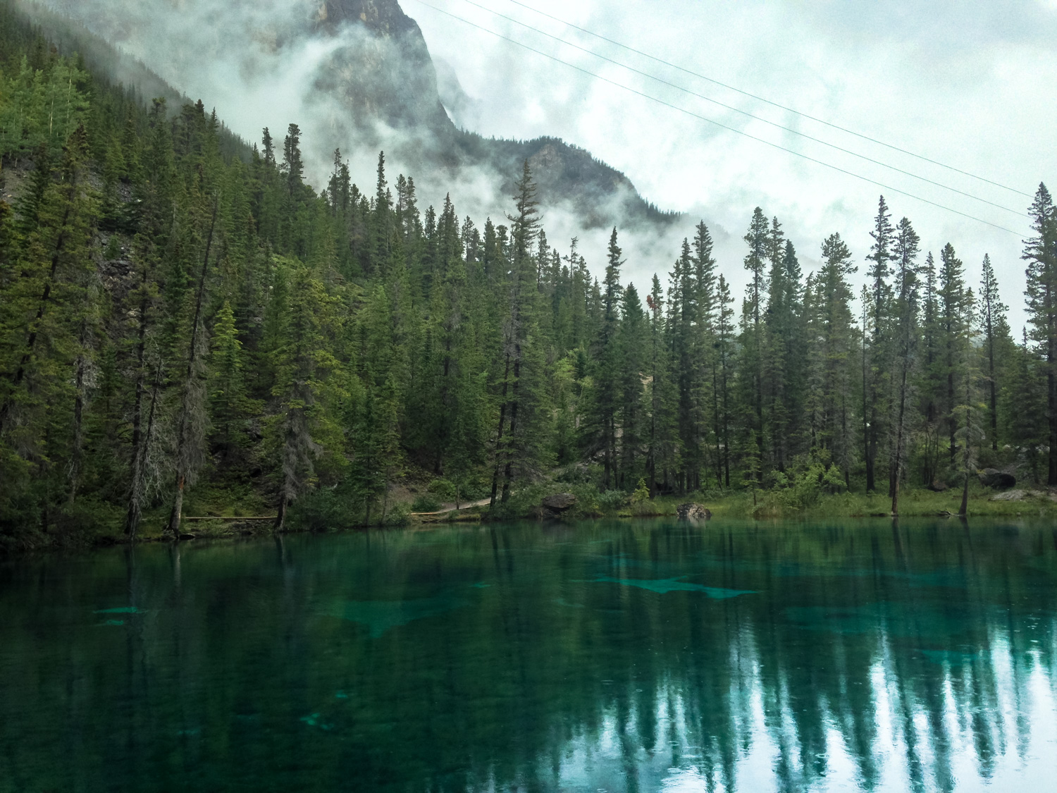
You’ll reach the shores of the lower lake shortly after that. Keep right at the junction with the wonderfully named Riders of Rohan Trail to begin a loop around the bodies of water. The lakes themselves are small in size but absolutely stunning visually. You’ll be hard-pressed to take your eyes off them.


At 1.2 miles, a trail departs from the left to continue a steep climb to Whitemans Pond. If you’re set for some rock climbing, you’ll have to head up there to get to the safe climbing routes.
The official, maintained trail ends here. The maintained trail used to hug this side of the lake as well, but was closed due to hazards from falling rocks. You can still walk along the shore here — but Alberta Parks will give you lots of warning signs about it if you do.
Either way you decide to go, it’s not long until you rejoin the established trail. You can return back the way you came or if you want to avoid the slippery staircase section, you can follow the Service Road back to the trailhead.
Tags: Canmore, canmore nordic centre provincial park, Climbing, grassi lakes, rock climbing


