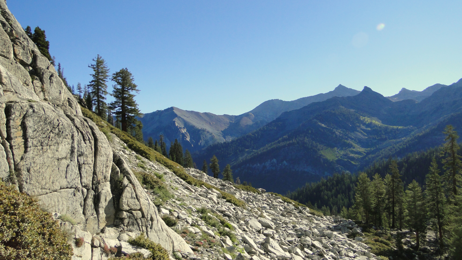
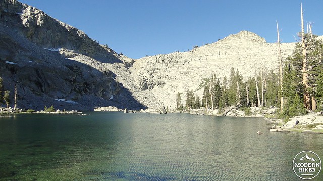
One of the great things about Mineral King Valley is easy access to Sierran high country on the western end of Sequoia National Park. From the Eagle-Mosquito Trailhead, which is just a hair shy of 8,000’, there is access to three separate glacially carved valleys – Eagle, Mosquito, and White Chief, containing the kinds of lakes, meadows, and alpine forests that one usually has to backpack to get to. While backpacking is a definite possibility at Eagle Lake, it is also a relatively manageable 6.8 mile day hike with about 2,400’ of gain. That’s certainly no slouch, but given a full day and a picnic lunch, this classic alpine lake is a great way to catch High Sierra scenery without a High Sierra trek.
Eagle Lake
The three valleys in questions are hanging valleys. A hanging valley occurs when a tributary glacier at a high elevation emerges at the rim of a deeper canyon. Because the tributary glacier does not cut as deep as the main glacier, it does not reach the same depth, and it therefore ends abruptly at the edge of a cliff. Yosemite is most famous for these valleys, but Mineral King features a number of similarly cut valleys, including the glacial bowl that contains Eagle Lake.
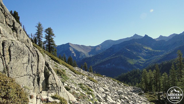
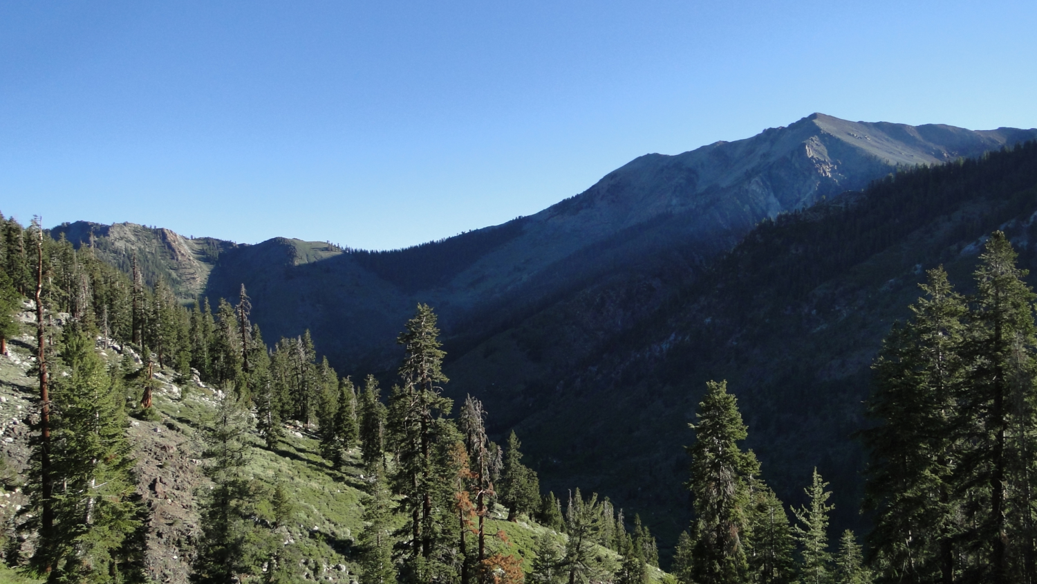
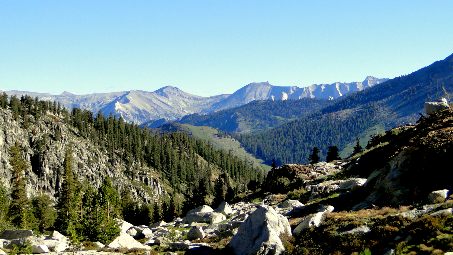
Looking out over Mineral King
The trail to Eagle Lake starts at the parking lot for the Eagle-Mosquito Trailhead, which you will reach after rounding the final bend on Mineral King Road and emerging into sublime Mineral King Valley. Be aware that Mineral King is the residence for a sizable population of marmots, who have a talent for wreaking havoc on everything from bathrooms to your lunch to the cables and hoses inside your car. For this reason, you are likely to see a number of cars either encircled in chicken wire, wrapped in tarps, or with their hoods propped open to discourage a shade-loving marmot from setting up shop in your engine compartment. It’s a wise move to take precautions, especially early in the season when previously hibernating marmots emerge from the slumber looking for snacks.
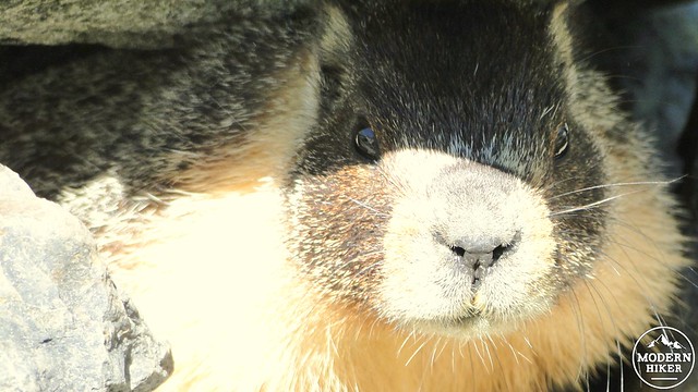
Yellow-bellied marmot
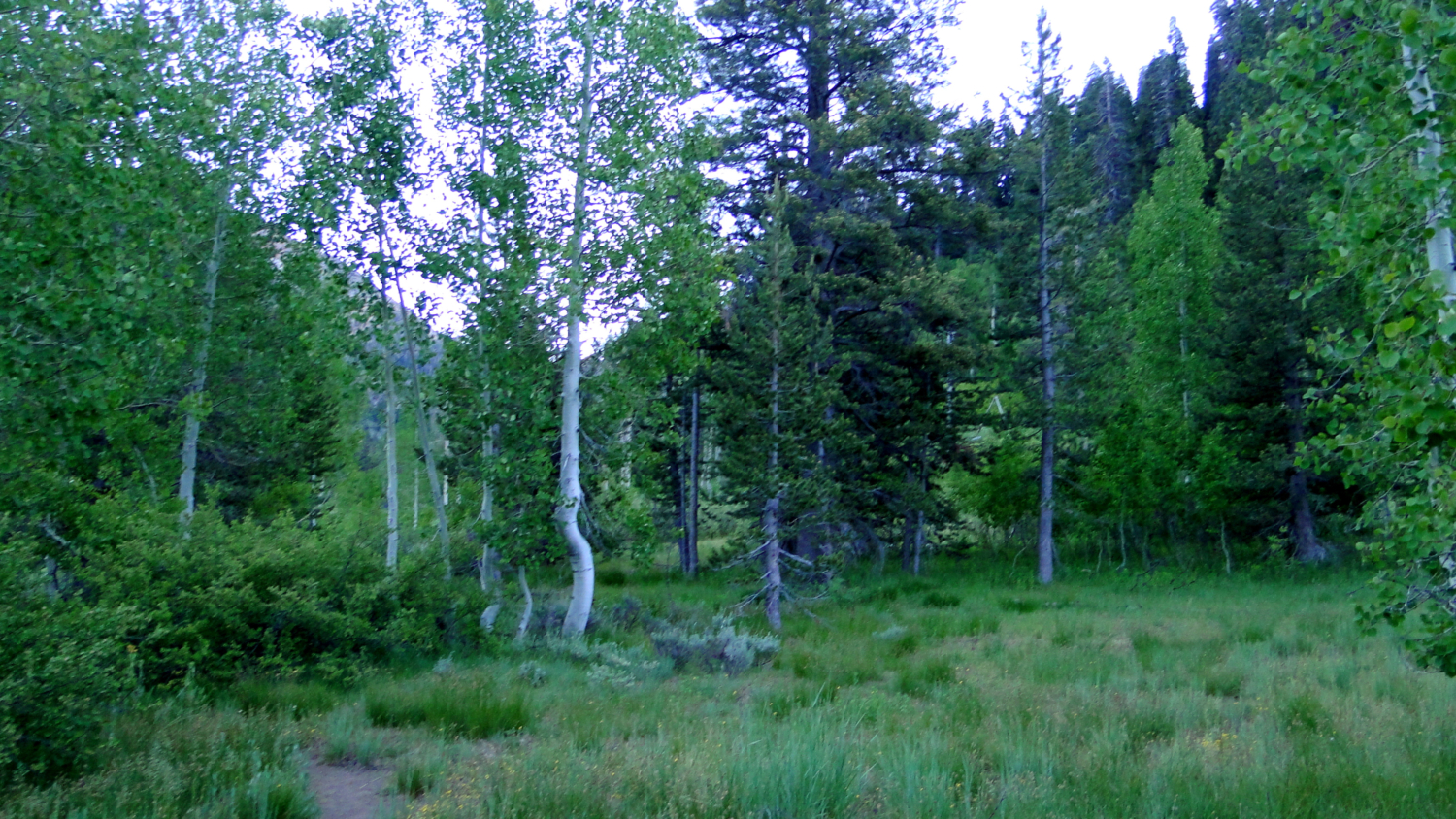
Right off the bat, you have the option of stopping in at the restored Honeymoon Cabin, which sits picturesquely along the East Fork Kaweah River with towering peaks in the background. Although it’s not available for honeymoons, this cabin, which was restored in 1988, is another nice example of the many old cabins scattered throughout the area. Just past the cabin, the trail begins a moderate ascent along a hillside carpeted with sagebrush and grasses and dotted with avalanche-thinned firs and Western junipers. By the time you reach the wooden bridge crossing Spring Creek, views down to the valley floor and up the valley begin to improve. It should be easy to pick out the Farewell Gap Trail, which runs the length of the valley up to Farewell Gap after offering access to nearby Franklin Lake.
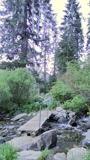
Spring Creek
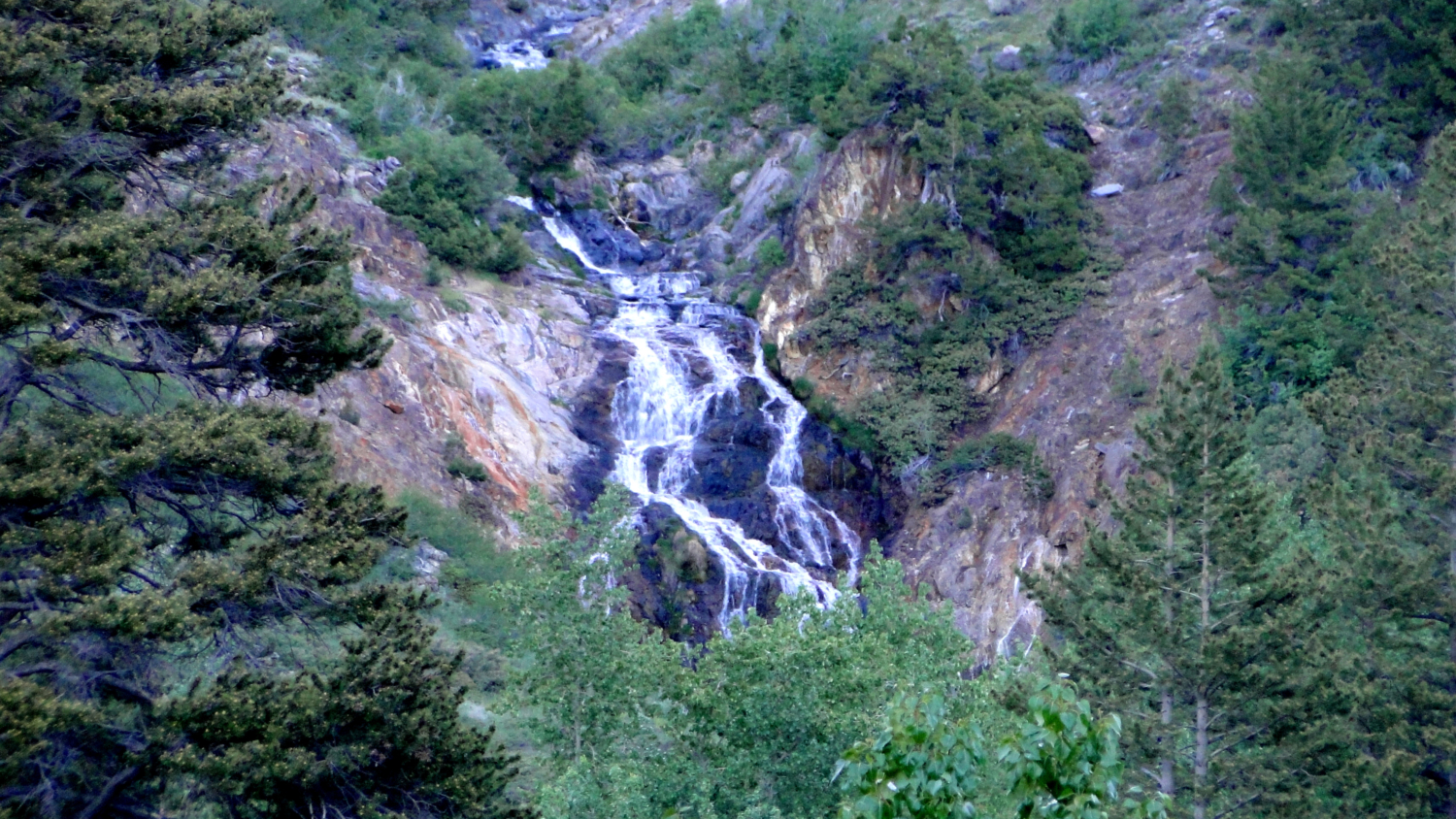
Crystal Creek
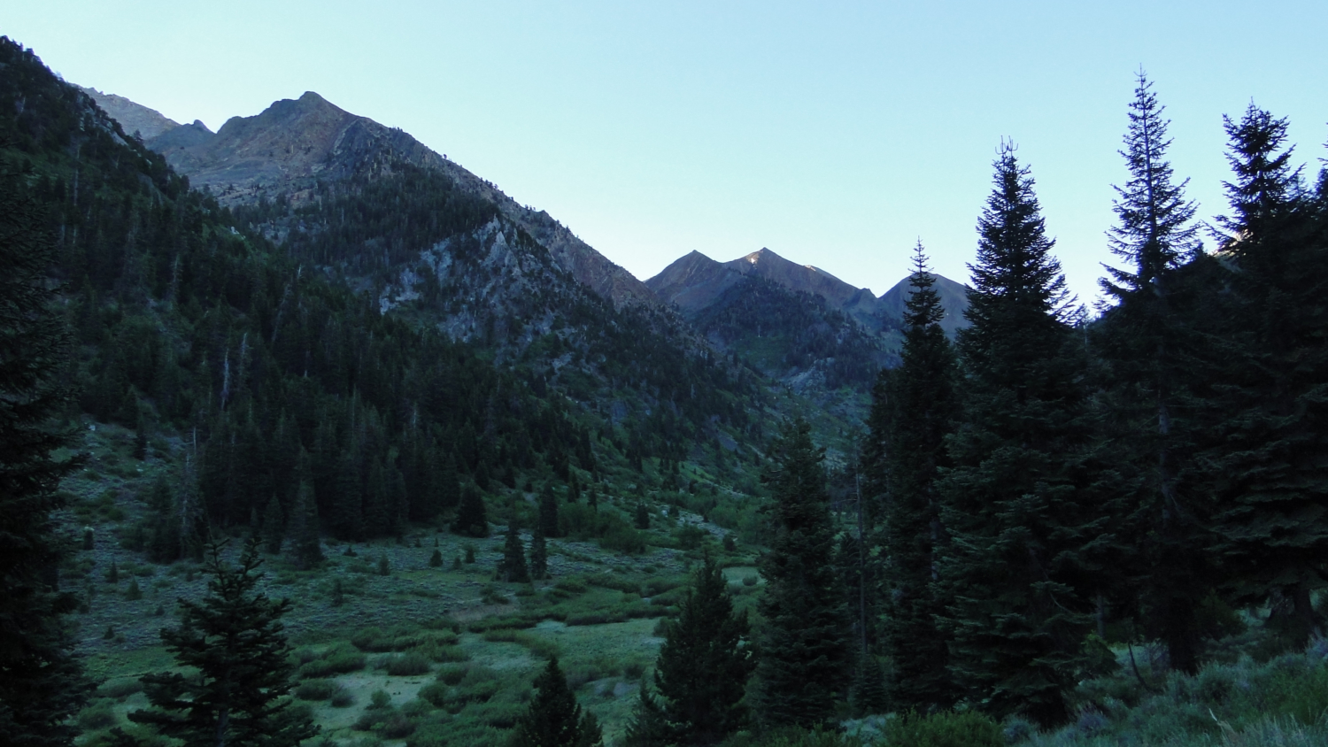
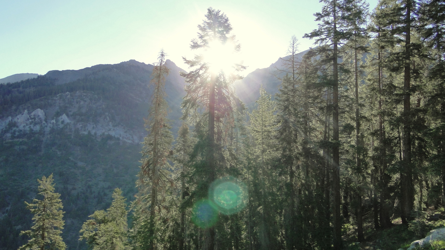
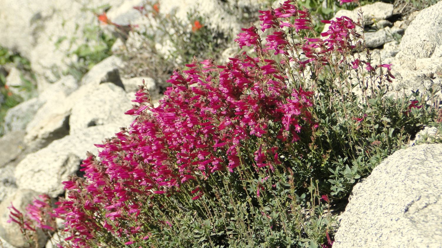
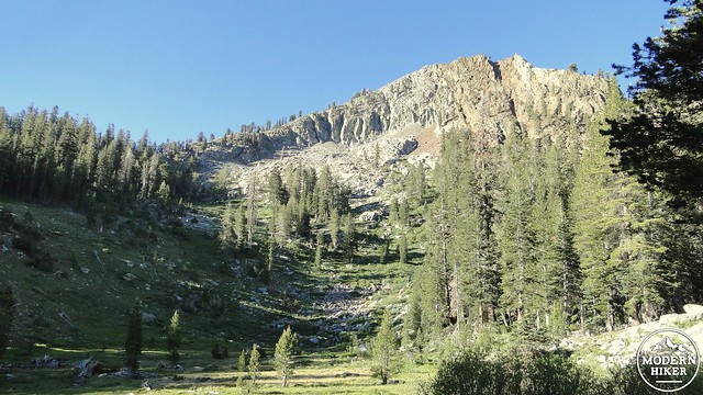
After crossing Eagle Creek around 0.7 miles, the trail begins to climb more precipitously before reaching a junction. The trail continues straight to White Chief Canyon or turns right toward Eagle and Mosquito Lakes. Take the right turn and continue the fairly hard climb. The climb emerges at a steep hillside meadow carpeted in wildflowers. Views toward colorful Empire Mountain open to the north, as wildflowers and wildlife such as deer, marmots, pikas, and grouses invite consideration closer afoot. The trail switchbacks upward through this meadow before plunging back into a cool pine and fir forest.
Just past the junction

Hillside meadow
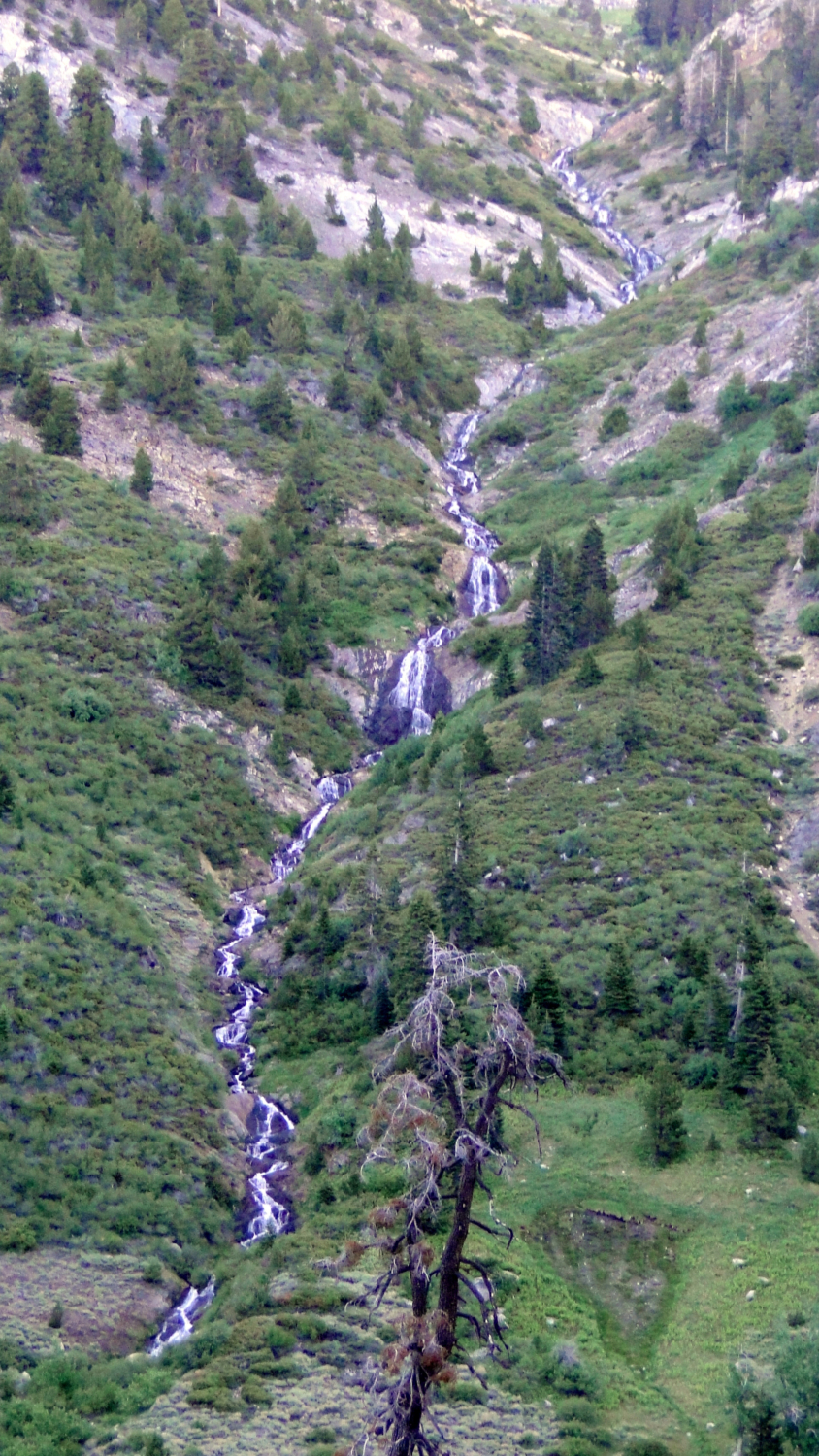
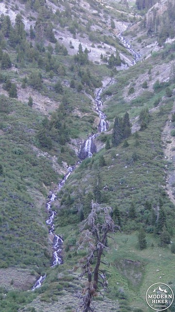
Your first reward for the considerable amount of climbing over the first 1.5 miles of trail comes when you reach a flat stretch that runs through the forest and along Eagle Creek. At first, Eagle Creek appears to be nothing but a dry creek bed. However, the trail approaches the sound of water, which reveals the creek vanishing into a deep sinkhole. These sinkholes are common on the west side of the valley due to the presence of porous sedimentary rocks. The creek drops into the sinkhole and then runs underground for a while before cascading down the side of Mineral King Valley.
Along Eagle Creek
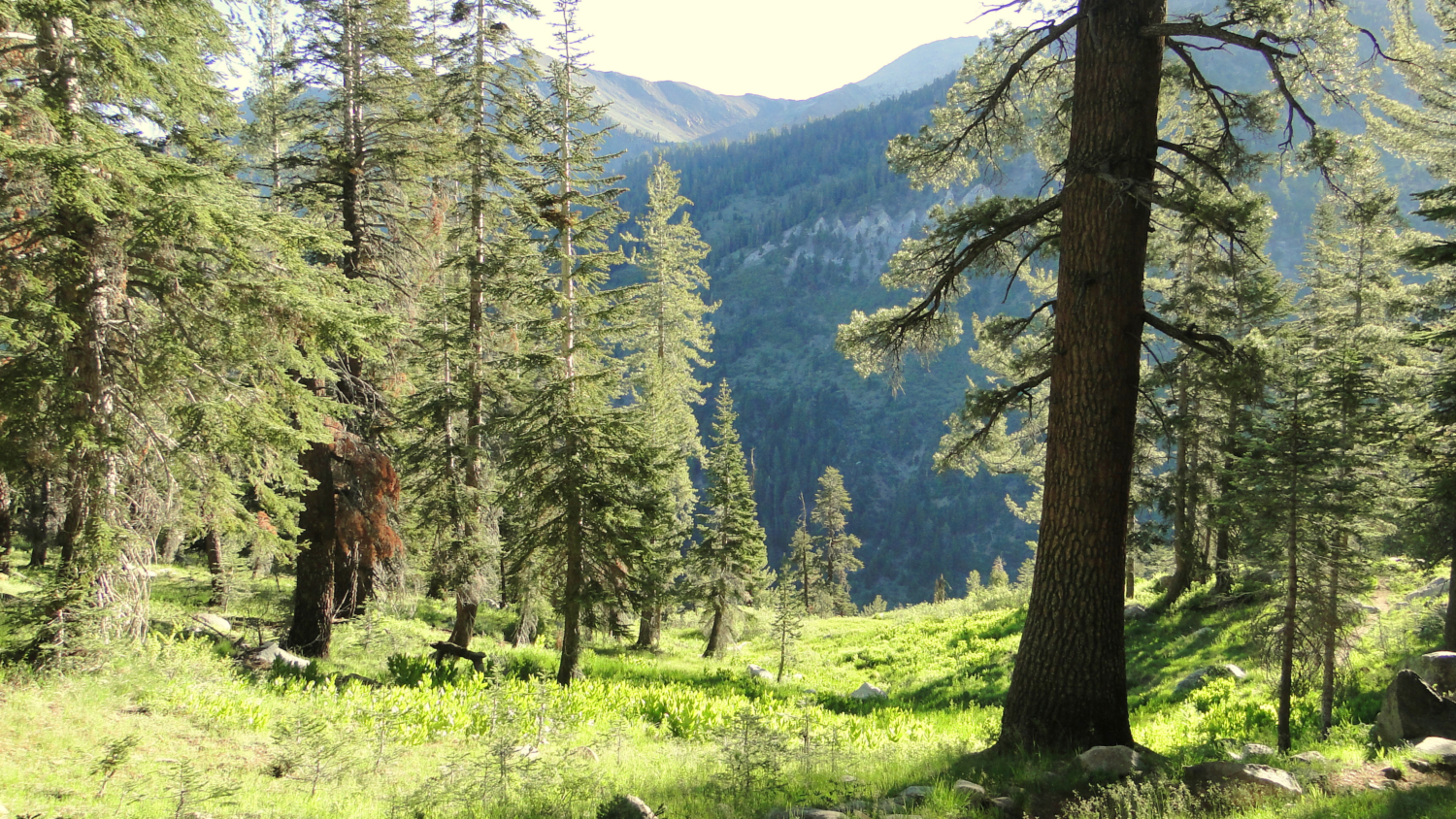
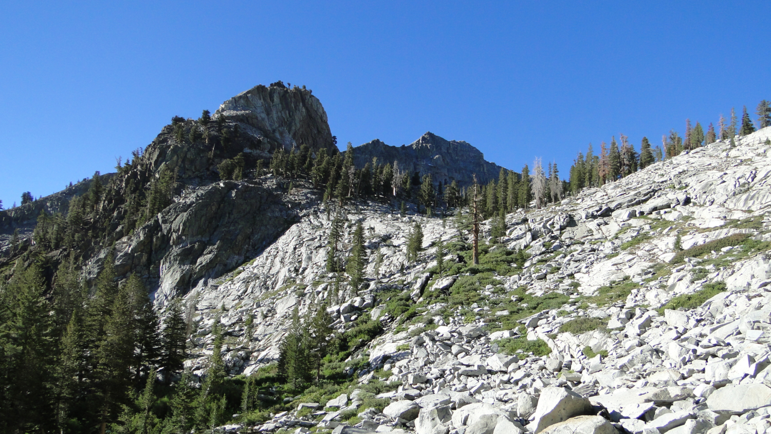
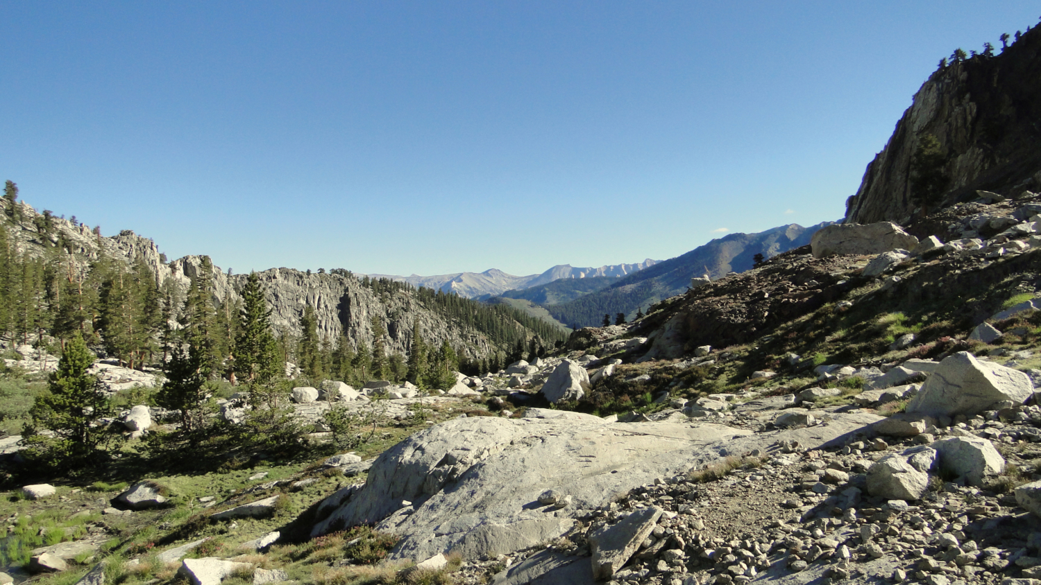
Follow the shady creek-side trail until it emerges at the foot of a lovely meadow full of mountain shooting stars and corn lillies. The trail will bend right around the meadow and will climb up to the top of the bowl that holds the meadow. The trail will flatten out again before it comes to the base of the moraine that contains the lake. The trail will climb up the side of the mountain through rough talus that occasionally degenerates into a minor rock hop. By now, the view to the east and north is spectacular, including the numerous peaks on the east side of the valley. As with the earlier meadow, these dramatic views contrast nicely with closer scenes of wildflowers clustered into the cracks in the rock and the sound of the creek spilling down the moraine.
Another meadow
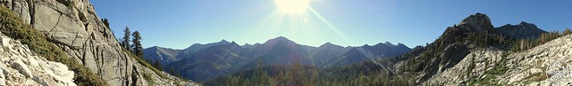
The peaks along the east end of Mineral Valley on the way up the moraine
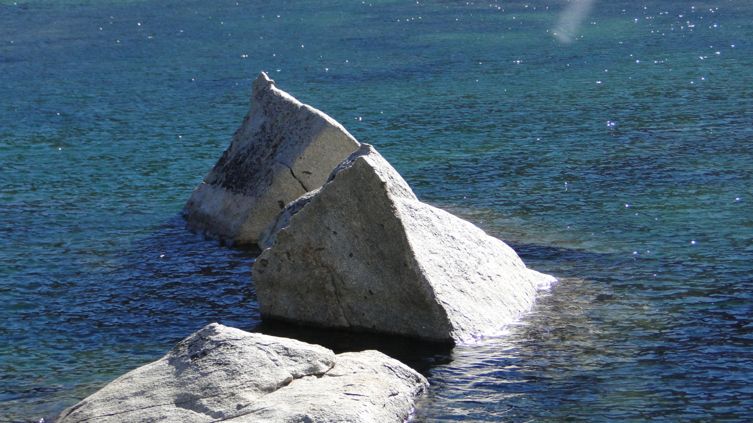
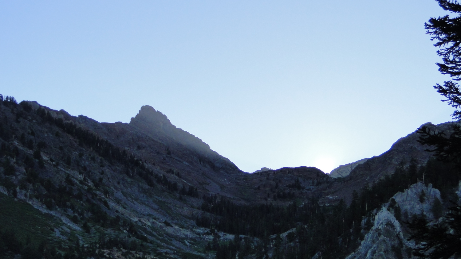
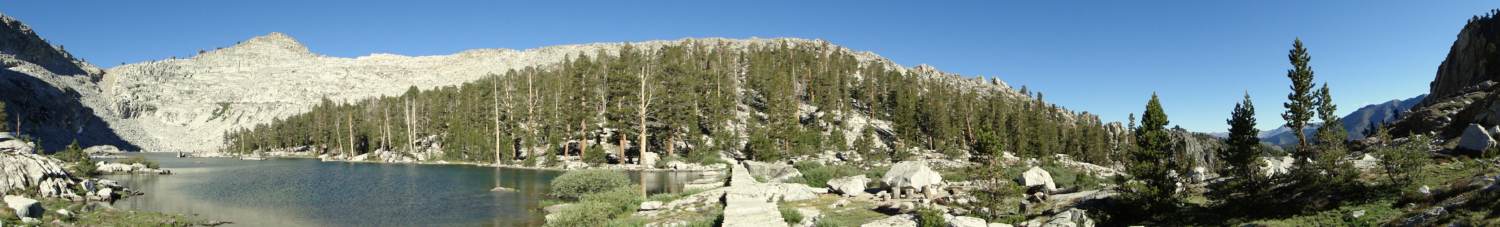
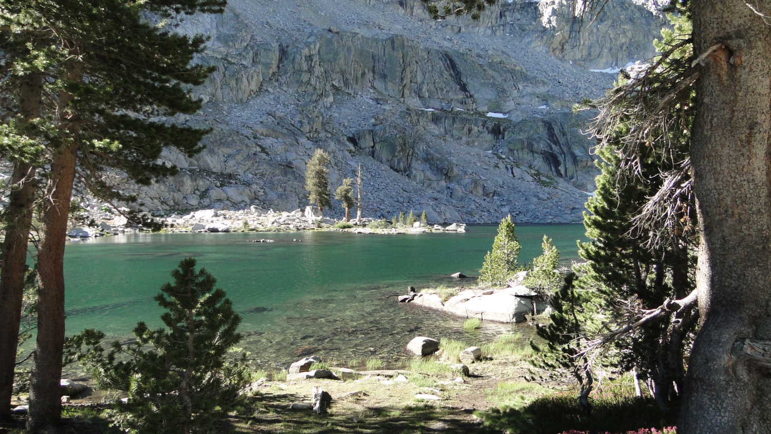
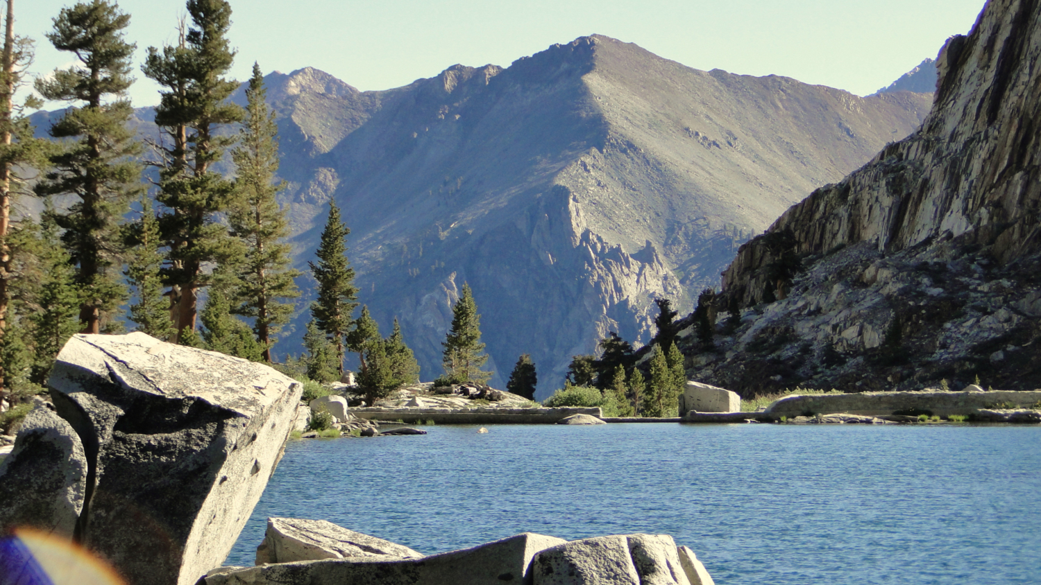
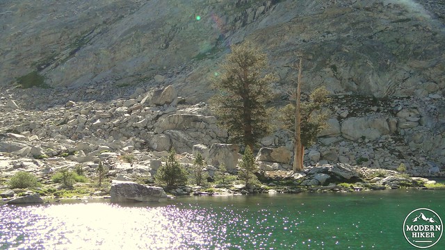
The trail will eventually come to the lip of the moraine and climb gently through a last stretch of forest before coming to the lip of Eagle Lake. Eagle Lake is reinforced by an old stone and mortar dam, which conveniently provides some flat and easy walking to explore the lake from a variety of angles. From the dam, you’ll get some great views over the upper reaches of Mineral King Valley, including Empire Mountain and Timber Gap, with a slice of the Tablelands and Alta Peak further north.
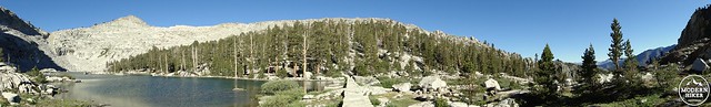
Eagle Lake from the dam
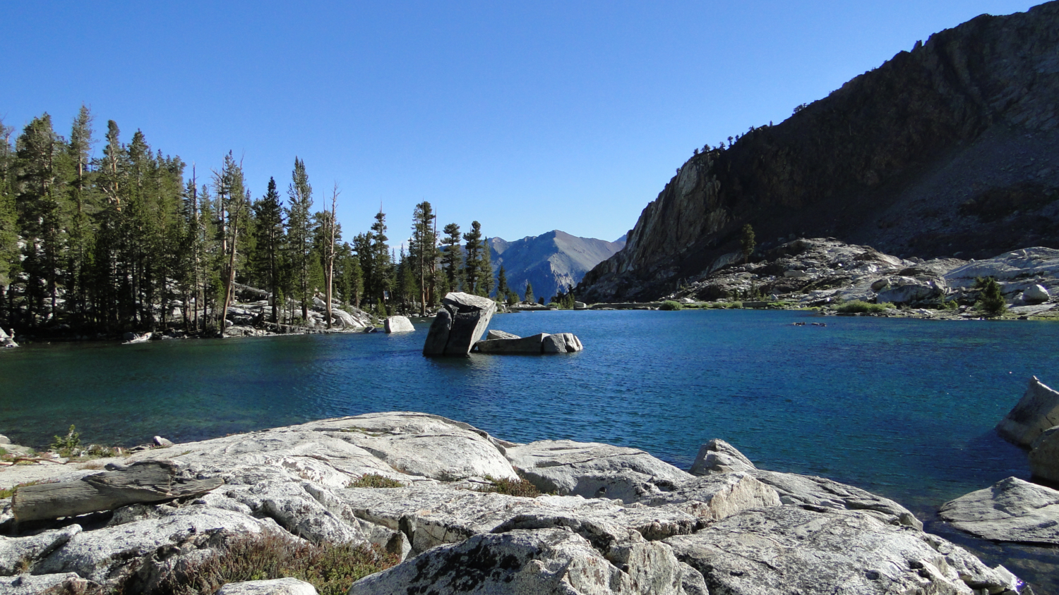
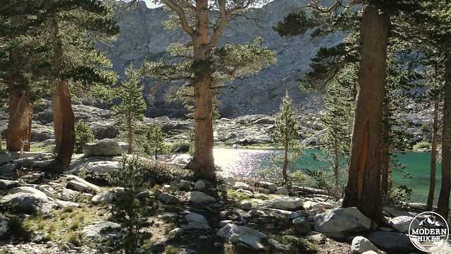
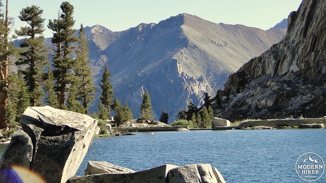
After backtracking toward the trail from the dam, continue on to look for campsites or simply to poke around the lake. So long as you stay within site of the shore and don’t wander too far into the nearby woods, this area offers some gentle and satisfying exploration. There’s a small peninsula jutting into the lake on the lake’s west shore that offers a really excellent camping spot as well as great views of the valley down below.
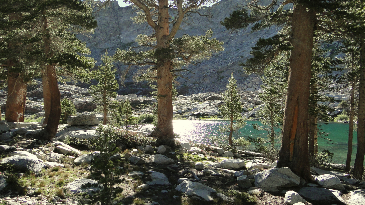
Lodgepoles along the shore
Opposite shore with a few gnarled lodgepoles
This hikes makes for some excellent backpacking and can be done in conjunction with nearby White Chief Bowl or the Mosquito Lakes. To get a backpacking permit, you will need to submit a reservation request to the Sequoia National Park’s backcountry permit office, which will process your request and provide a permit reservation. The reservation itself is not a permit, which you will need to pick up the day before your hike. The park charges $5 per person, which is a pretty good deal considering that you can spend multiple nights exploring the various canyons in the area.
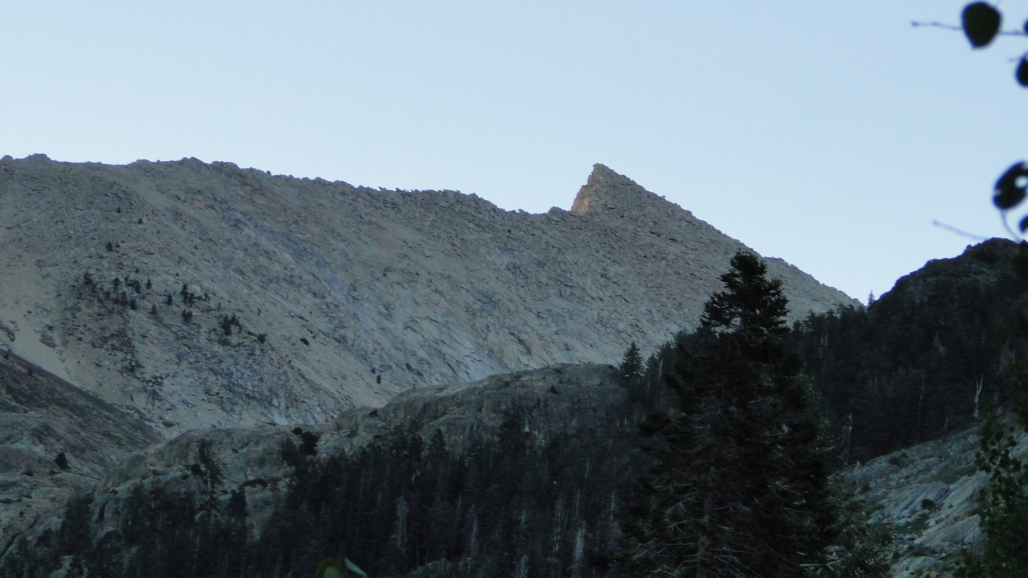
Empire Mountain in the distance

Screwing around with the camera
After you’ve had your fill of the lake, return the way you came down the moraine, through the meadow, along the creek, down the hillside meadow, and then back to the trailhead. If you are camping at nearby Cold Springs Campground, this hike is particularly enjoyable if merged together with the Cold Springs Nature Trail. This will add another 2.25 miles and 650 feet of elevation gain to the trip, which isn’t completely unreasonable.
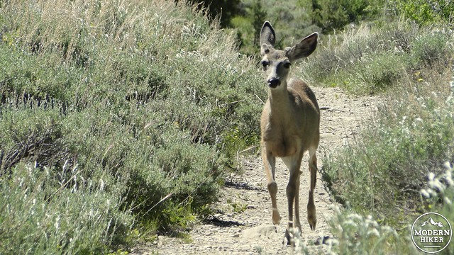
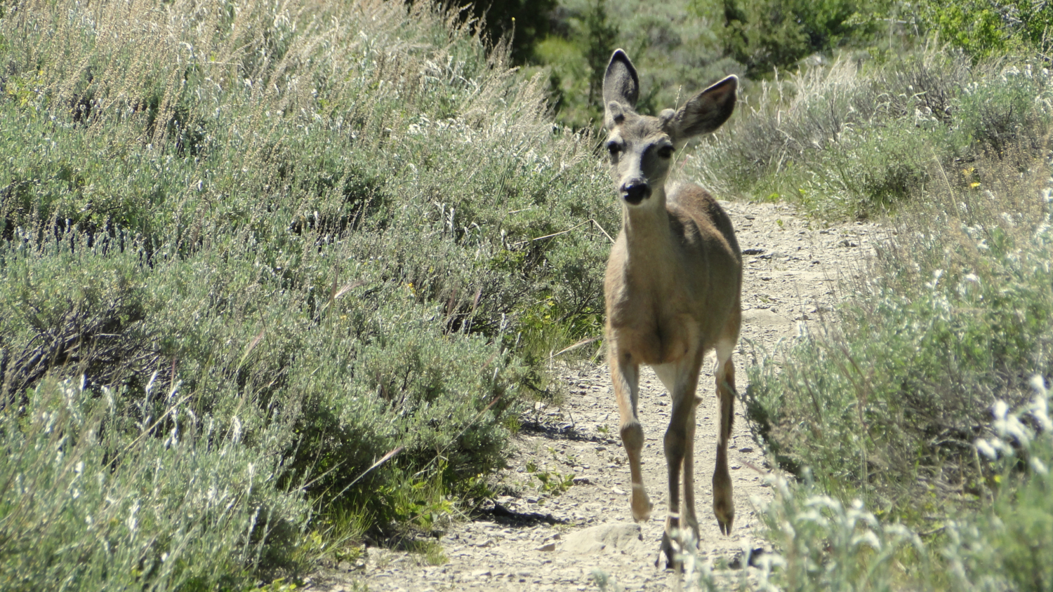
Mule deer near the trailhead
Tags: Eagle Lake, Eagle Sinkhole, Mineral King, Timber Gap