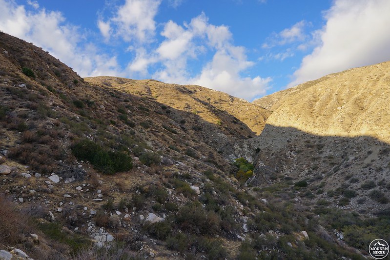
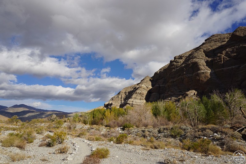
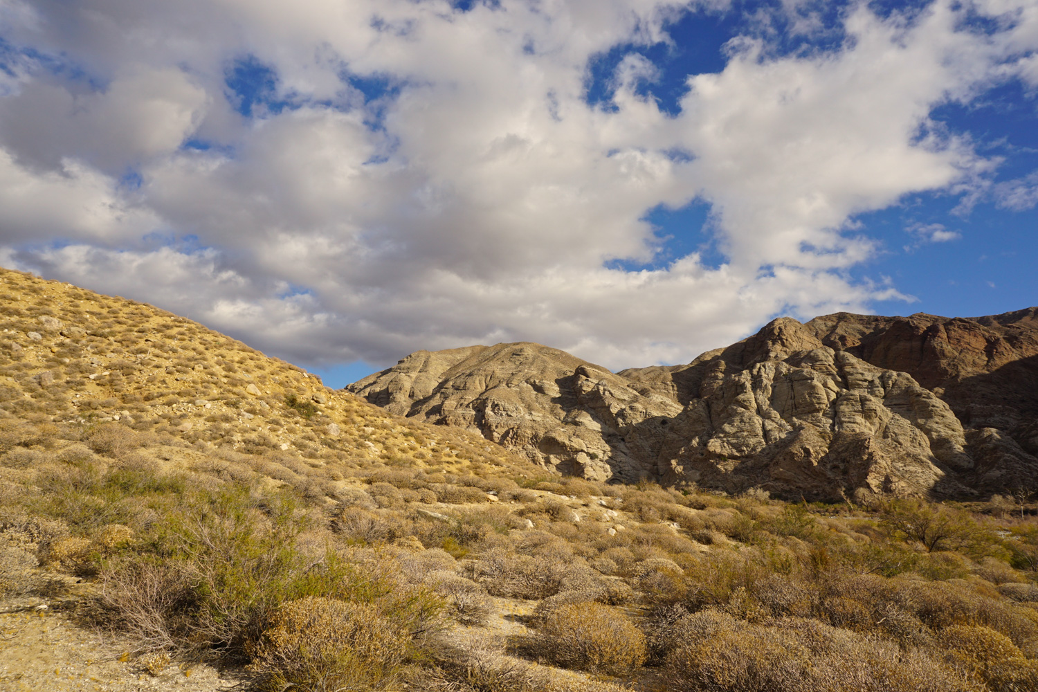
The bright, wide slash of Whitewater Canyon is a place of many treasures – well, the more natural kind, at least. From towering fanglomerate cliffs to the (sometimes) rushing Whitewater River, from the sandy desert floor to lush riparian greenery, this is a place unlike any other in Southern California.
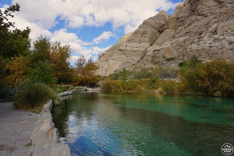
In 1939, the canyon became home to the Whitewater Trout Company, a family-owned 291-acre hatchery that supplied lakes from San Diego to Riverside to Lake Arrowhead. When it went out of business in 2006, local conservationists helmed by the Coachella Valley Mountains Conservancy and Friends of the Desert Mountains raised money to buy the property, realizing its value as a gateway to the San Gorgonio Wilderness and the river itself.
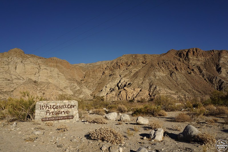
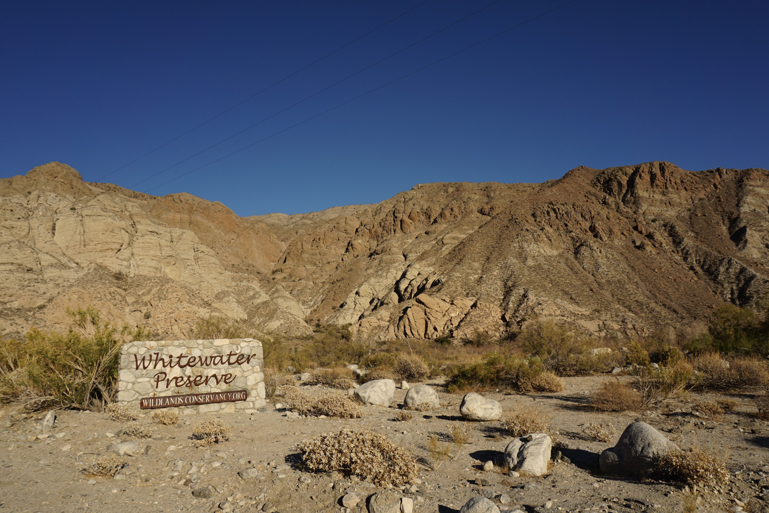
The Wildlands Conservancy, the largest non-profit wilderness preserve system on the west coast, was able to then buy the land at a discount from the conservation groups and proceeded to simultaneously deconstruct the hatchery and build what is now the 2,851-acre Whitewater Preserve, part of the Conservancy’s extensive “Sand To Snow” system. After two years of hard work, the preserve opened to the public in 2008, offering free access to hiking, camping, backpacking, picnicking, and outdoor education.
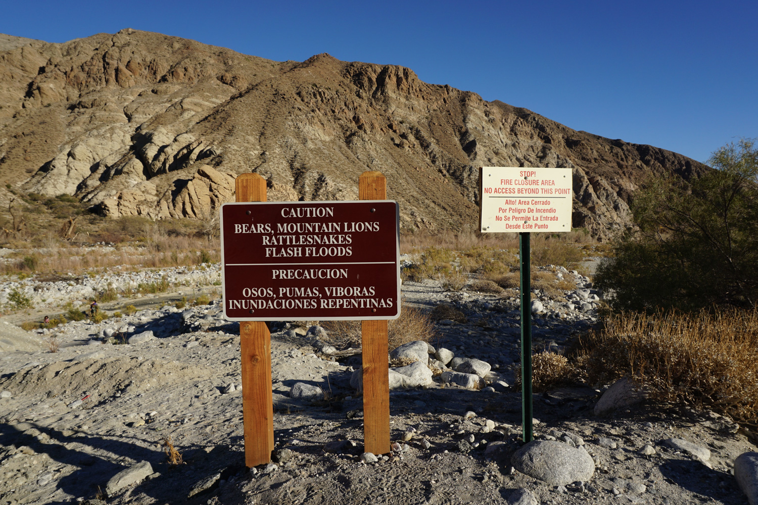
The Canyon View Loop serves as the perfect introduction to this spectacular area. Before embarking on your trip, however, check in with the ranger station to ensure that the whole loop is actually open – the BLM enacts an annual seasonal fire closure during the driest (read: summer and fall) months of the year, which blocks off access to the southern portion of the trail. Venturing into the restricted area against orders is bad mojo: it can result in some very stiff fines and increases the risk of human-caused fire in an extremely dry area. If you visit during the closure, you can still enjoy this as an out-and-back trip and save the full route for a time of year when it is legally and safely accessible.
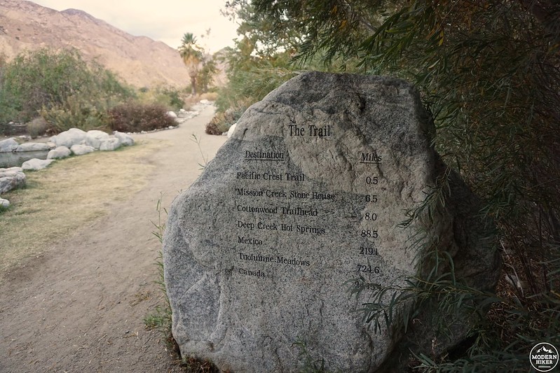
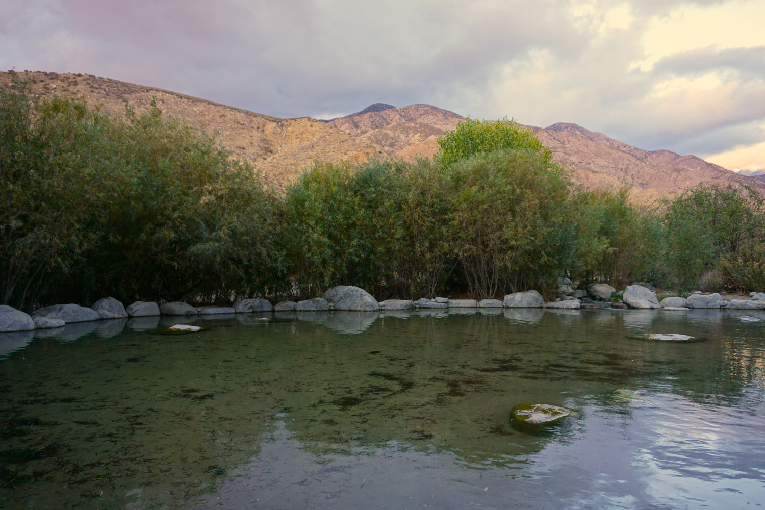
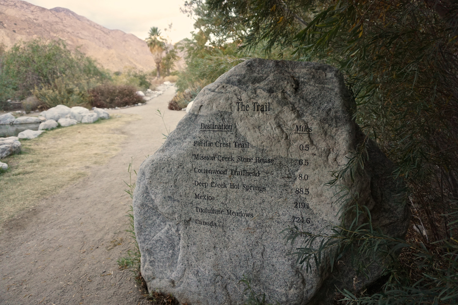
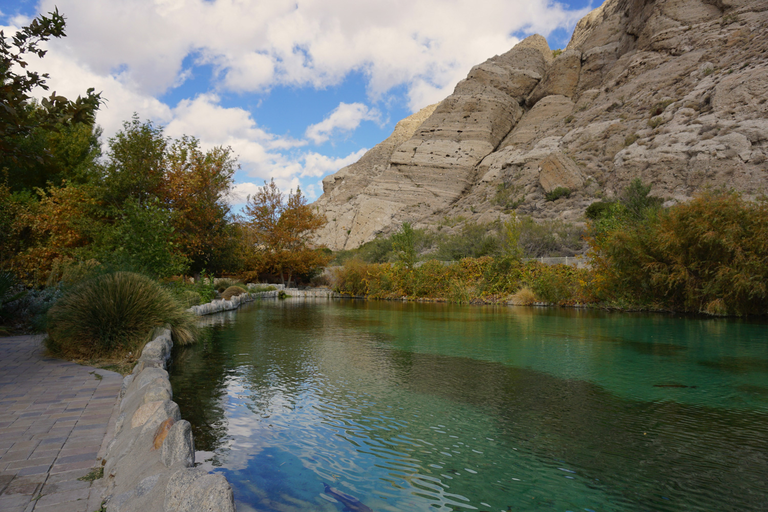
The loop begins just north of the ranger station and main parking area; look for the information board and trail marker to the right of a private residence and walk ahead towards a trout pond, a small rock monument to Elden Hughes (a Sierra Club leader, environmentalist, and noted “heroic defender of the California desert”), and a telescope, perfect for scanning the massive cliffs to the east for resident bighorn sheep. Just ahead, you’ll also see a large rock listing various trail mileages, where you’ll note that it’s only 2,445.4 miles to Canada via the nearby Pacific Crest Trail…a fine stroll if you have a few months of free time ahead.
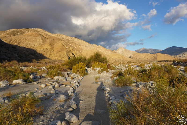
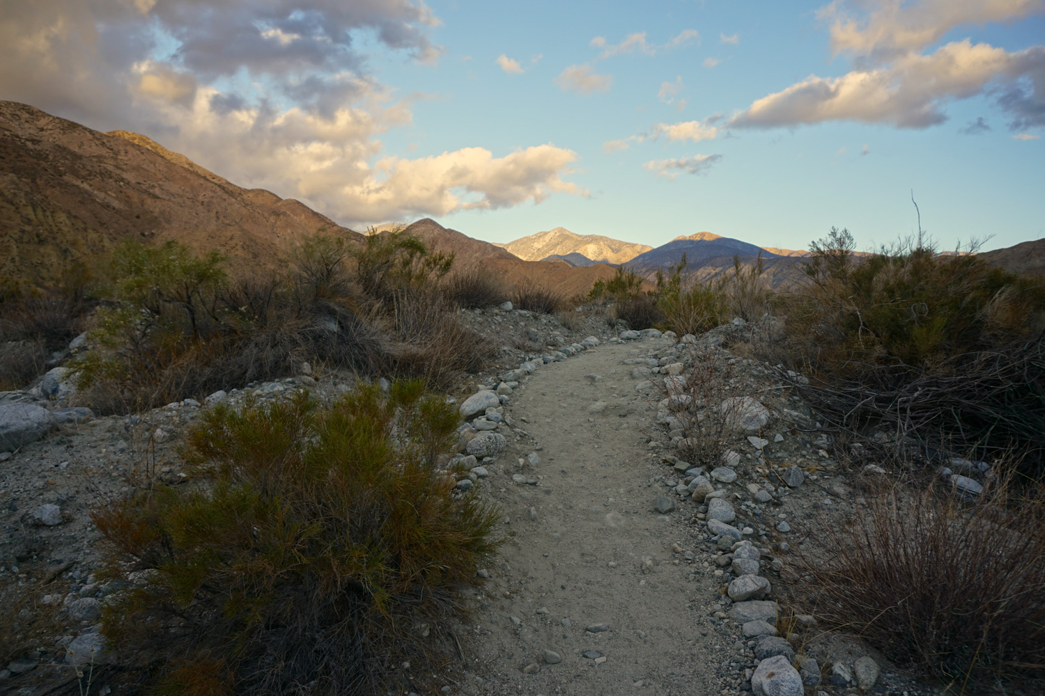
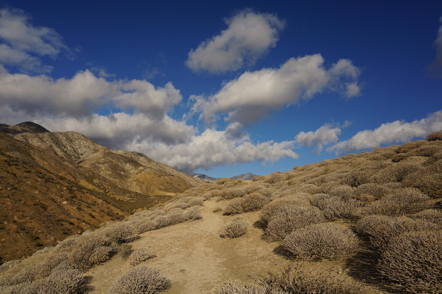
From here, head northwest on a wide, sandy, stone-lined path, stopping to sign in at the register before you continue. The watershed is marked by pale, almost white sand and rocks, and is filled with an array of juniper, willow, sagebrush, cholla, and riparian grasses, among other things. If you want to get your botany groove on, this is a great place to scratch that itch – the preserve offers a checklist that currently notes a hefty 524 plants!
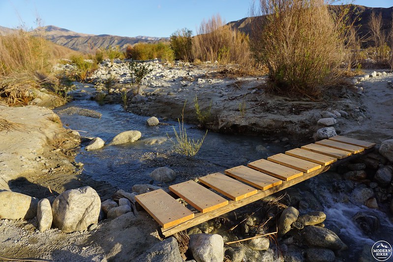
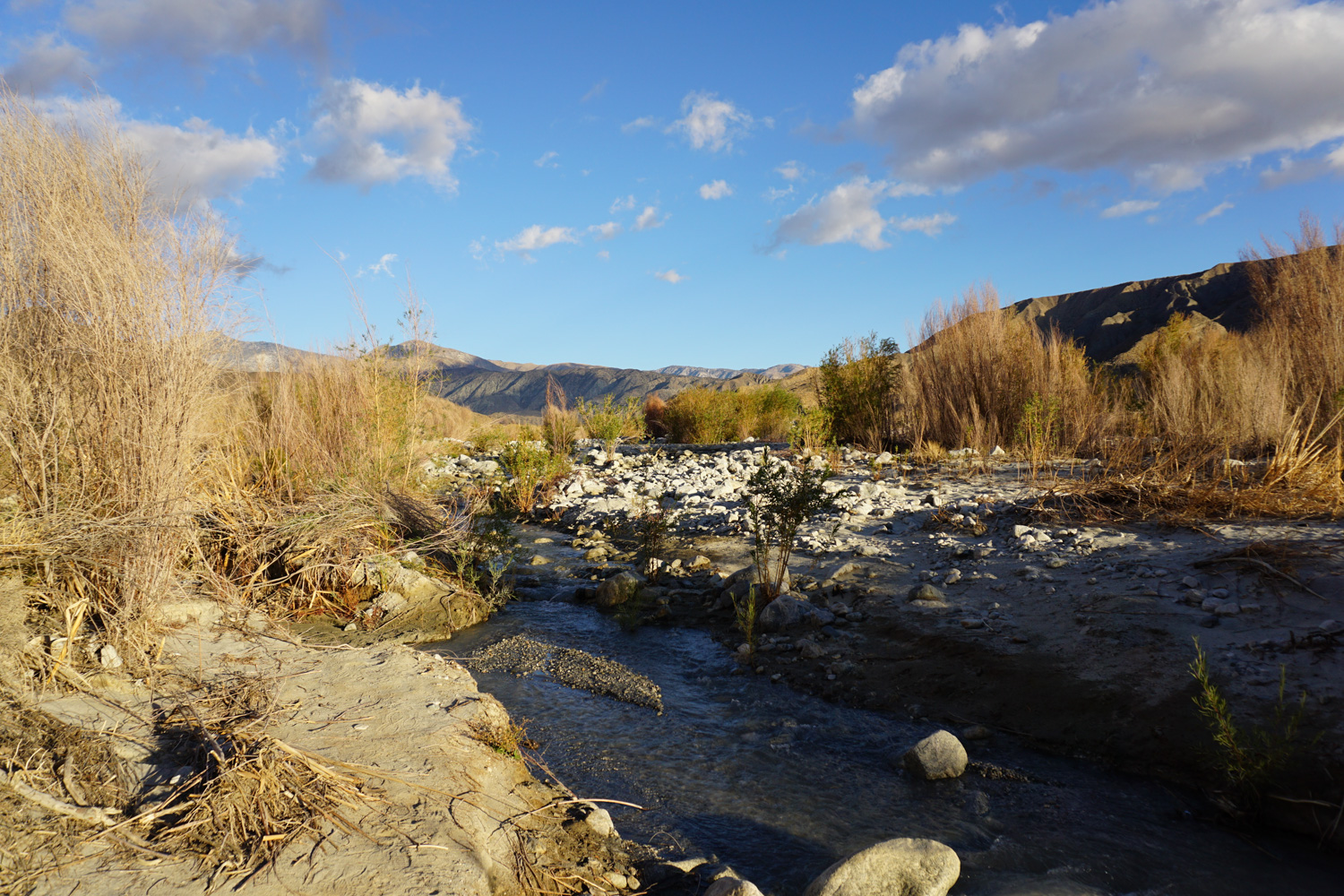
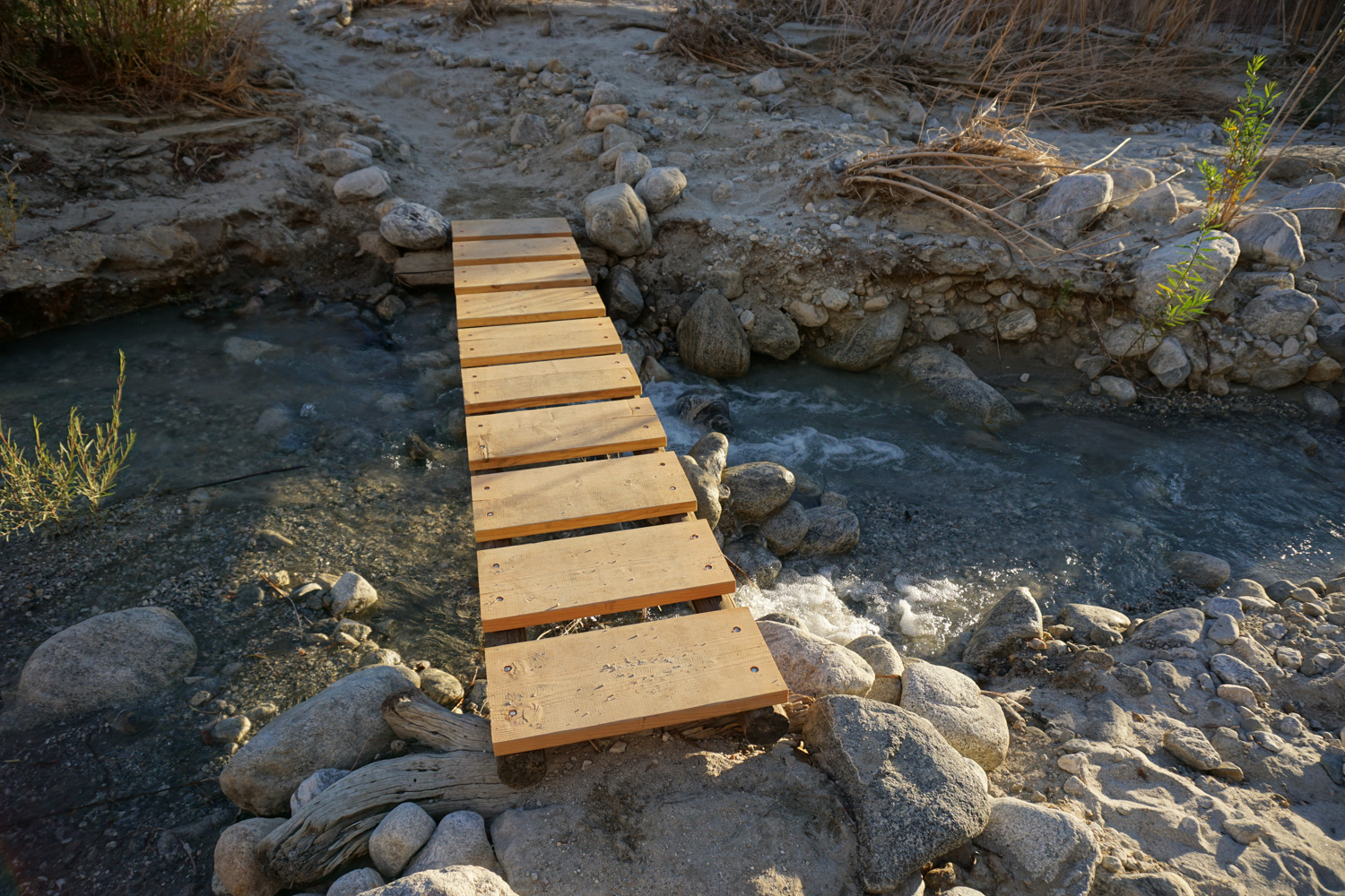
At 0.15 mile, you’ll reach a wooden post; if you head straight, you’ll land at a branch of the Whitewater River, but stay right to continue your journey. You’ll reach another wooden signpost shortly thereafter – here, the trail goes left. At 0.46 mile, you’ll reach your first river crossing at a small wooden footbridge – depending on the flow, you might hear the water before you see it, which is a strange (but welcome) sound in the desert! The trail then heads up slightly to the right and you’ll cross the river once more in another tenth of a mile; this area has a little more action in the form of small rock-propelled “rapids” – it may not be the mighty Mississippi, but the Whitewater River certainly has its moments, especially during the spring when its waters surge from Mount San Gorgonio snowmelt en route to the Salton Sea.
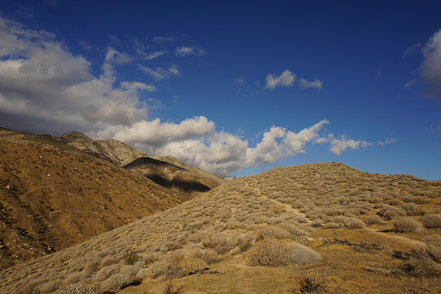
Continue uphill to reach the San Gorgonio Wilderness boundary at 0.61 mile. Just after this, you’ll come upon the junction with the Pacific Crest Trail (PCT), and will hang a left to join this famous path headed southwest…although you won’t continue all the way to Mexico on this trip. The trail begins heading more noticeably uphill now, into a small, but distinct gully. Reaching the far wall, you’ll begin to switchback up a somewhat steep tread lined with occasionally encroaching plants (you may want to wear pants or be a bit nimble on your toes), which is a hot, sweaty affair on a sunny day. Your reward, however, is the spectacular view that gets better and better and better as you hoof upwards.
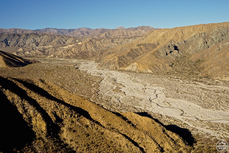
You’ll earn the best view when you reach the top of the switchbacks around 1.53 miles. Pause here a moment to take it all in – enclosed by steep, striated canyon walls, the Whitewater River snakes far below in the whitewashed watershed, curling its way out towards a series of peaks and valleys marking the San Bernardino Mountains in the distance. You’ll notice here that the southbound PCT continues straight, while there’s a signpost marking the Canyon View trail off to your left – so once you’ve had your fill of this stunning view (disclaimer: it’ll probably take a while before that happens), leave the PCT to stay on your loop.
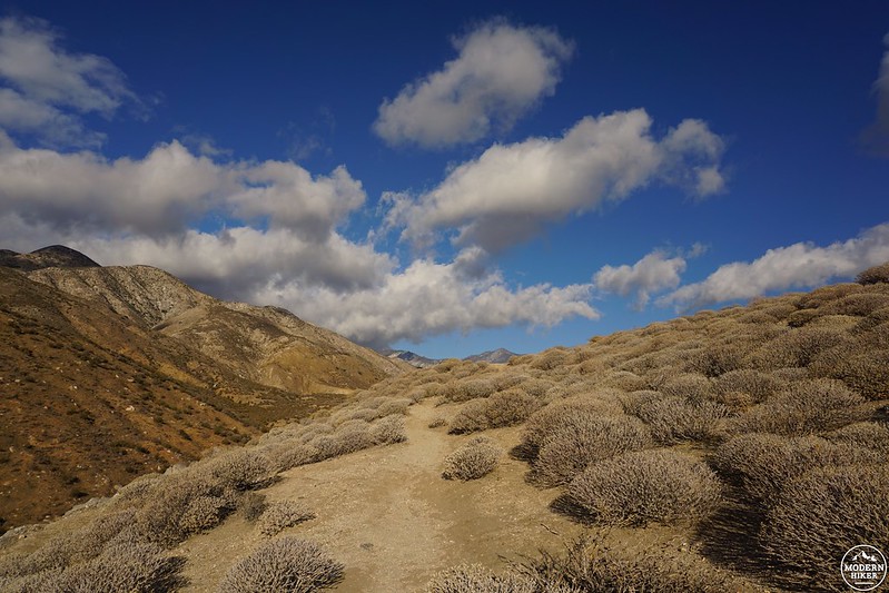
From here, the trail curves up to follow a breezy plateau, where your earn some bonus eye candy: a potentially snow-capped Mount San Jacinto to your south, folding hills and canyons to your west, and a bird’s-eye view of the riverbed below to the east. It’s hard not to feel at least a little bit of awestruck glee when surrounded by so much beauty!
When you finally drag yourself away from all of that gorgeousness, continue heading slightly downhill across the plateau until you reach an opening in a barbed wire fence at 2.3 miles; this marks the boundary of the seasonal fire closure. If the area is restricted, simply turn around and retrace your steps to finish the hike. If it’s open, head through the fence and start switchbacking your way downhill – this is a fun place for a bit of trail running if you’re lightfooted.
You’ll reach the main drag, Whitewater Canyon Road, at the 3-mile mark. Head left and walk carefully along the shoulder of the road; the path seems a bit nonexistent here, but you’ll be able to pick it up again momentarily. The pavement actually forms a wide bridge over the river, and this is a popular place for families to relax and play on a warm day. Just beyond the water, you’ll see a trail marker noting the continuation of the trail on your left. Here, the path is once more well-defined, dropping you back on soft sand studded with lush foliage, including some beautiful willows.
At 3.58 miles, you’ll reach another wooden trail sign – head right to reach a picnic area, bathrooms, and eventually the ranger station and parking lot where you started your trip. If you have the time, visit the station itself to check out an array of exhibits, take a stroll around the vibrant trout ponds, and spread out a blanket on the grass for a picnic…or even a nice afternoon nap.
NOTES
- Dogs are allowed on trails, but must be on-leash.
- There are picnic tables, water spigots, and restrooms with sinks and flush toilets.
- The preserve is open seven days a week, except for Thanksgiving, Christmas, and New Year’s Day.
- Special permits are available for backpackers and day hikers with arrivals and departures outside of normal gate hours – inquire with rangers.
- Parking and preserve use is free; however, all of The Wildlands Conservancy’s preserves depend on private donations for funding – please consider bringing some cash, donating online, or volunteering to show your appreciation for this fantastic resource.
Tags: Canyon View Loop, Pacific Crest Trail, PCT, The Wildlands Conservancy, Whitewater Preserve, Whitewater River


