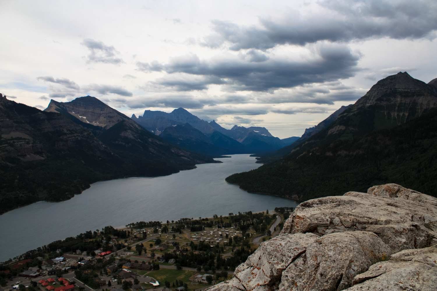
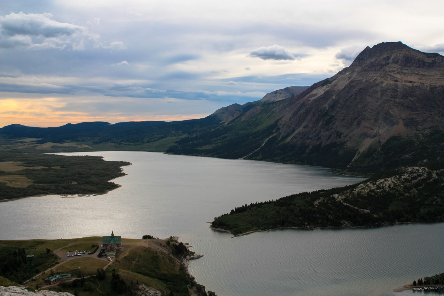
This short trek is a perfect introduction to Waterton Lakes National Park. Beginning just behind the main Visitor Centre for the park, this rugged little trail makes a surprisingly steep climb to a rocky promontory with clear views in nearly every direction. From here, you’ll have unparalleled views of Waterton Village and the Lakes themselves, not to mention the picturesque Prince of Wales Hotel. This is a great place to catch a sunrise or sunset, too!
If you’ve just made the drive from Calgary and this is your first time in Waterton Lakes National Park, Bear’s Hump is a great first-stop. Not only will you get a nice lay of the land around Waterton Village and the chance to stop in for a chat with the helpful staff of the Visitor Centre, but it’s also a short and steep hike that’ll get your blood flowing and — most likely — only leave you wanting to explore more of the region.
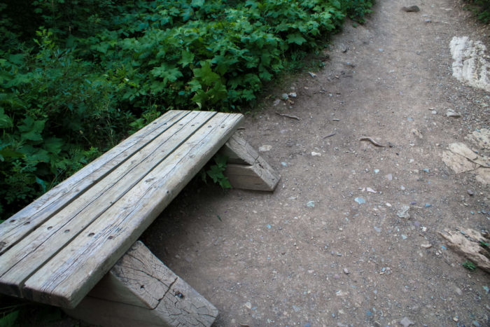
The signed trailhead is easy to spot from the parking area, but look toward the northeastern corner if you’re having trouble. This no-nonsense trail is easy to follow but be aware that it is pretty steep. Thankfully, Parks Canada has done visitors the tremendous service of installing plenty of benches along the way, just in case you need a quick breather here and there.
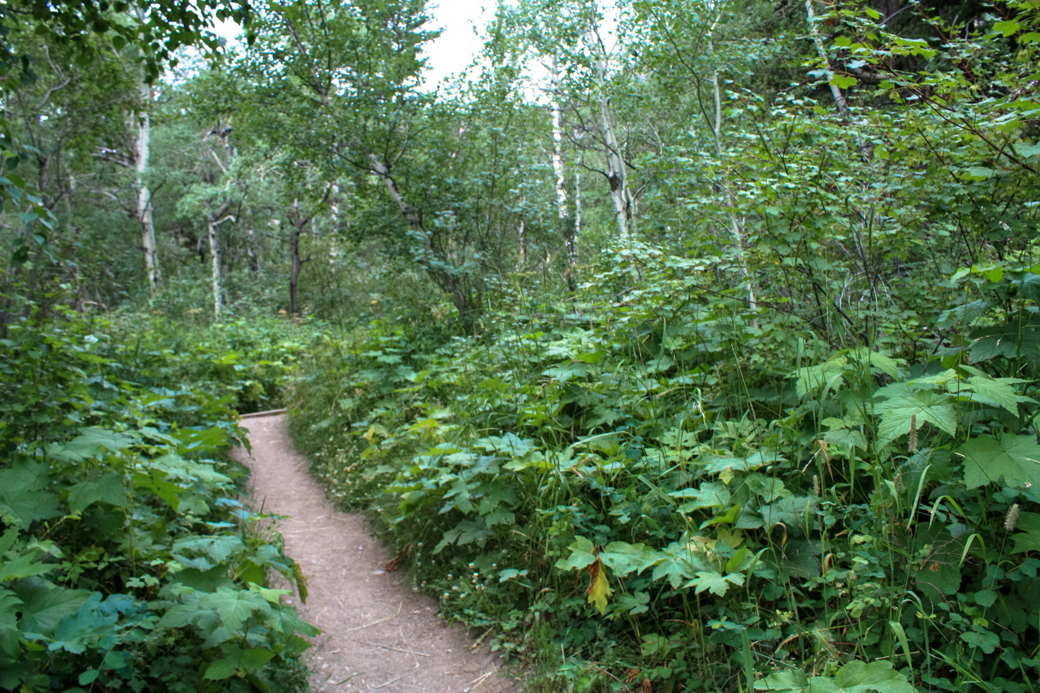
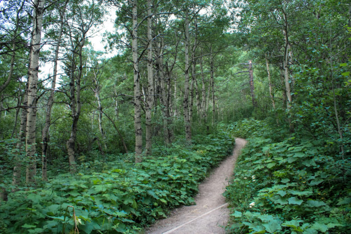
The trail begins climbing through a dense birch forest near the trailhead, with lush greenery in every direction. You won’t be able to see much from here, but don’t worry — the views get much better further along the trail.
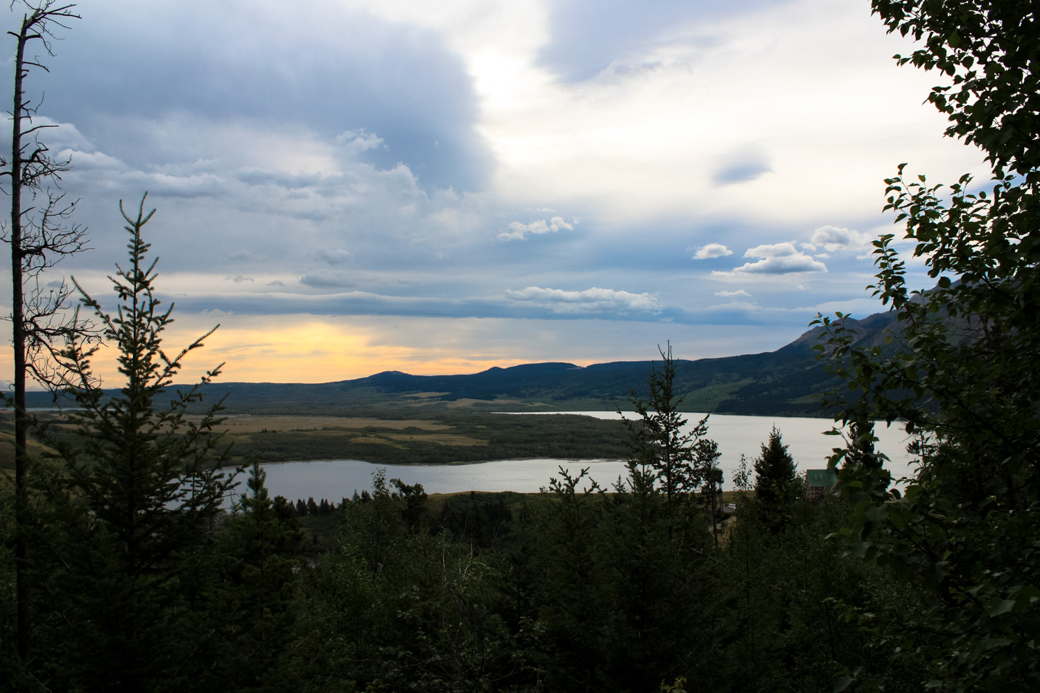
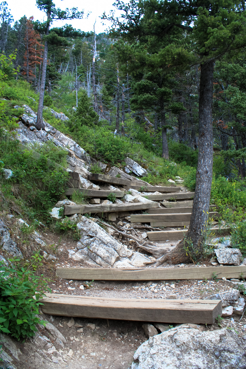
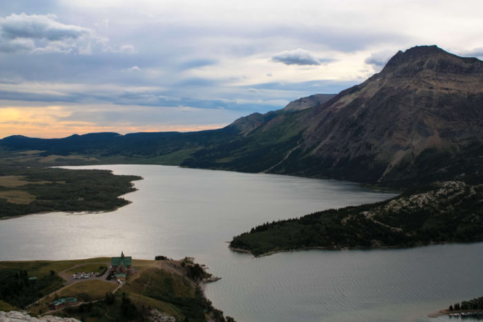
As you slowly gain elevation, you’ll start to catch glimpses of Waterton Lake and the impossibly charming gingerbread chalet form of the Prince of Wales Hotel below you. Soon, though, the birch trees are replaced by dense pines and the views close in a bit. The lack of views means you now have a chance to enjoy the surprisingly rugged trail work here, including steep stone stairs and pathways crowded by healthy tree roots.

After a series of tight and steep switchbacks, you’ll arrive at the rocky clearing known as Bear’s Hump. The Piikani Nation who lived here before Europeans arrived called this mountain Grizzly Medicine Mountain or Great Bear Mountain. In many First Nation mythologies, the grizzly bear is a powerful animal spirit, often one that provides humans with knowledge of medicinal plants. The Hump you’re standing on is the distinctive muscular shoulder that differentiates grizzly bears from their black bear relatives.
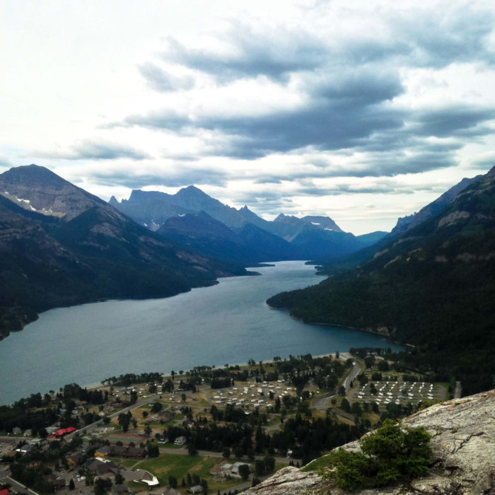
Today, the mountain is officially known as Crandell Mountain, but no matter what you’re calling this place, you can’t argue with the views. To your east, statuesque Vimy Peak looms above Upper and Middle Waterton Lakes with the Prince of Wales Hotel just across the Bosporous. To your south, Waterton Village lies at the shore of Upper Waterton Lakes, which stretches all the way into Glacier National Park in the United States, surrounded by jagged, alluring peaks.
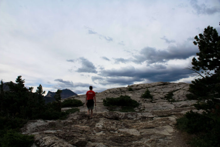
Enjoy this spectacular view, then return back the way you came.
Tags: alberta, bear's hump, canada, glacier waterton lakes international peace park, waterton lakes national park, waterton village


