North Coastal San Diego County contains some of the nicest places to live in Southern California. There are beaches, safe neighborhoods, good schools, great yoga studios, and shopping galore. However, what North County does not have a lot of is great hiking. Coastal sage-scrub unfortunately does not generate revenues the way high-value developments do, and so it was inevitable that many of the natural features on the north San Diego coast have been partially or completely lost.
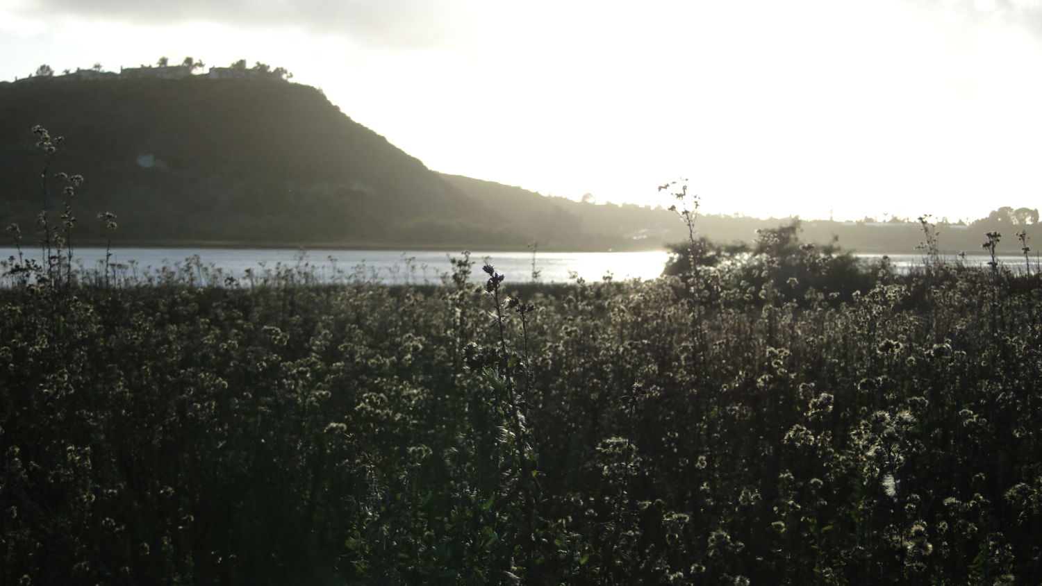
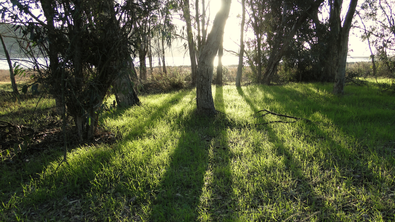
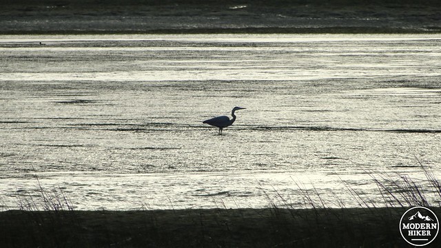
The Batiquitos Lagoon in Carlsbad is a notable exception, with groves of eucalyptus trees, sun glinting off the lagoon, and the presence of a wide variety of birds. Sure, this all comes with a golf course, the sound of the freeway, and the occasional power walker talking loudly on a cell phone – but with so much of North County transfigured into comfortable suburbia by the wizards of real estate, the nature that remains becomes that much more valuable.
The lagoon has always been popular with people, as Native Americans made their home along its banks. The constant influx of seawater leads to a productive marine ecosystem. If you look in the right spots, you may even find old piles of mollusk shells left from the people who lived here before the conquistadors claimed the land in the name of Spain. According to the Batiquitos Foundation, ‘”Batiquitos” is probably a regional Mexican word meaning, “a shallow trough formed in dirt used as a watering hole or for the collection of fresh water.’ While that’s a very dull way to put it, watering holes mean food, and food means life.
The trail is well-maintained and well-traveled, thanks to Audobon’s Batiquitos Lagoon Society and the Aviara Home Owner’s Association. Accordingly, this is a great trail for anybody of any skill, inclination, age, or physical ability. You’ll see a wide variety of people of all ages walking the lagoon in the morning and evening when the light is best. And while I normally shy away from crowds (I’m looking at you, Cowles Mountain), the pace is so laid back here that it turns into a relaxing evening near the beach while still getting the blood flowing.

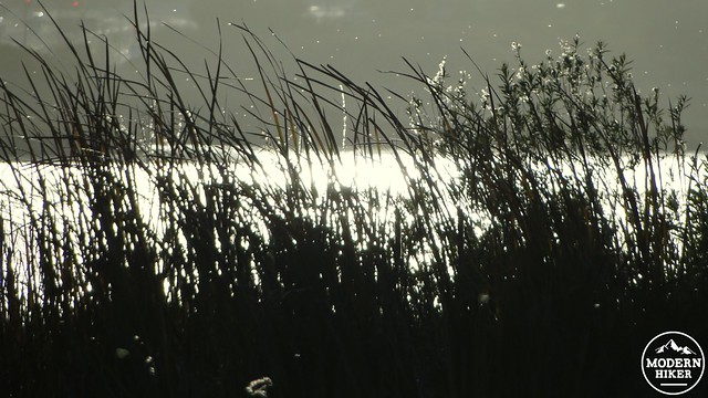
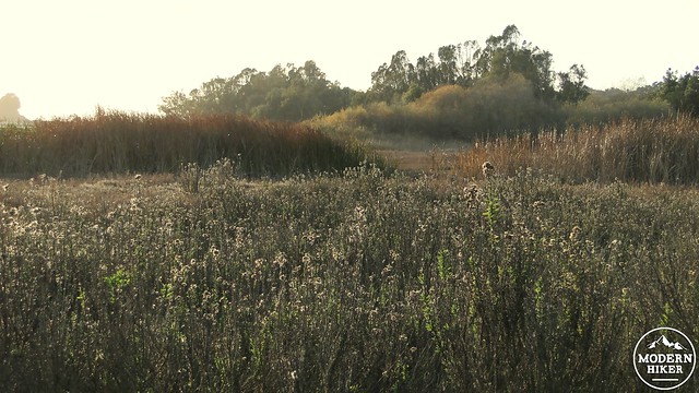
Start at the trailhead, walk along the paved path, and keep right at the beginning of the dirt path adjacent to the visitor center. Continue heading east on the well-maintained trail along the edge of the lagoon, and note the mixture of invasive exotic plants like iceplant, mustard, and eucalyptus mingling with coastal locals like coastal cholla, goldenbush, and California sagebrush. The lagoon lies on the right, and you’ll likely see countless shorebirds and raptors patrolling the lagoon’s brackish waters as you progress east through occasional groves of eucalyptus. Occasional shaded benches provide places to stop and rest at regular intervals.
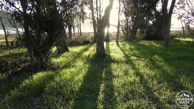
The trail continues in this fashion until a Y-junction about 1.3 miles from the trailhead. The trail splits temporarily, with the right fork passing through a shady grove of Eucalyptus trees, and the left fork continuing straight ahead to a point where the two trail merge. The two trails encircle a habitat restoration project that re-introduced native plants, including Torrey pines, coast live oaks, and sage-scrub habitat. When the trails merge, continue east through riparian habitat and a hillside plastered with invasive mustards to a steeply winding trails that leads to the eastern trailhead. The trail does continue east for a short distance, but it quickly ends at a fence marking California Department of Fish and Wildlife property that’s closed to the public to protect endangered shorebirds like least terns and snowy plovers. This is your turnaround spot.
Tags: Aviara, Batiquitos, Batiquitos Lagoon, bird watching, California Department of Fish and Wildlife, Carlsbad, dog-friendly, Encinitas, Hiking, San Diego County, San Marcos Creek