Henry Cowell Redwoods is a redwood pilgrimage everyone should make, not only for those ancient redwoods, swimming holes, and Santa Cruz Mountain vistas but its historic role in preserving redwoods in California State Parks. This 5.0-mile loop takes you through the highlights: an old-growth redwood forest, the peaceful San Lorenzo River, a rare Santa Cruz Sandhills habitat, and views of Monterey Bay and Santa Cruz Mountains from the Observation Deck, the highest point in the park. Springtime is an especially beautiful time to visit when lupine and ceanothus bloom along the route.
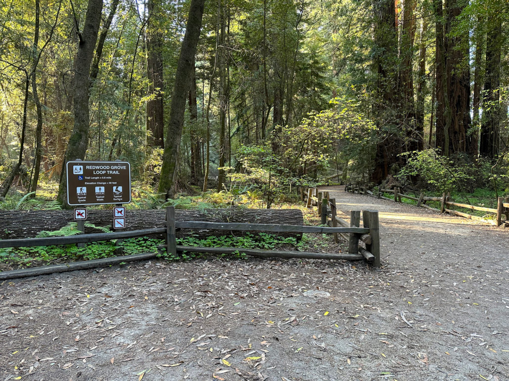
Redwood Grove Loop
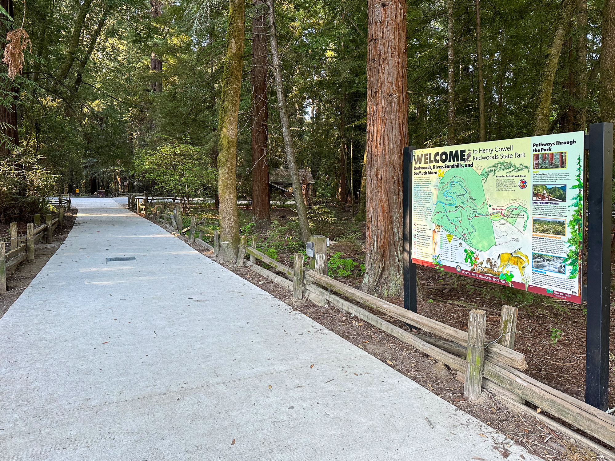
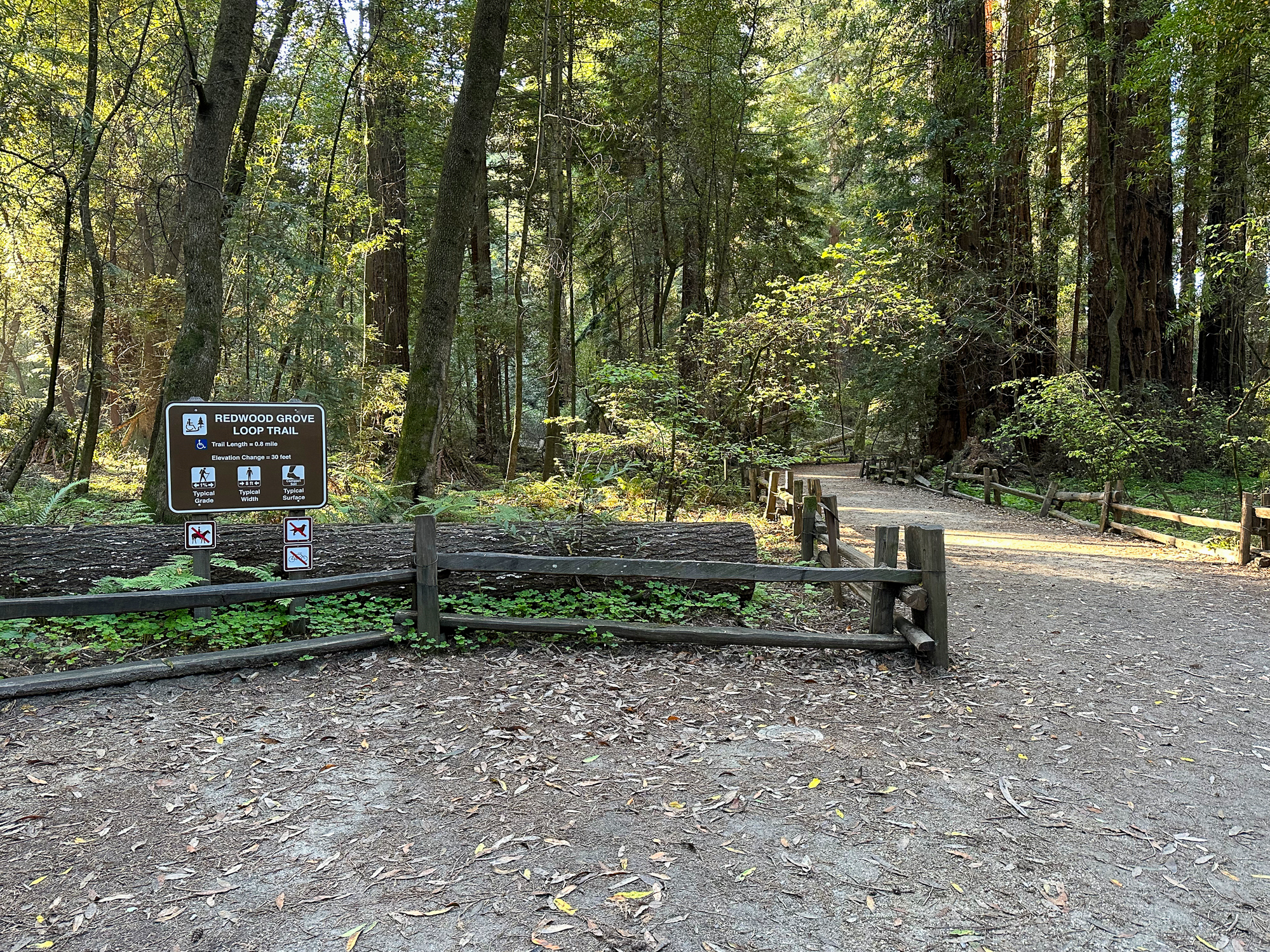
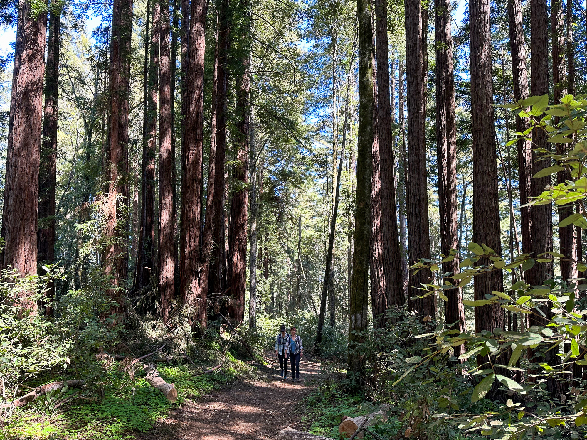
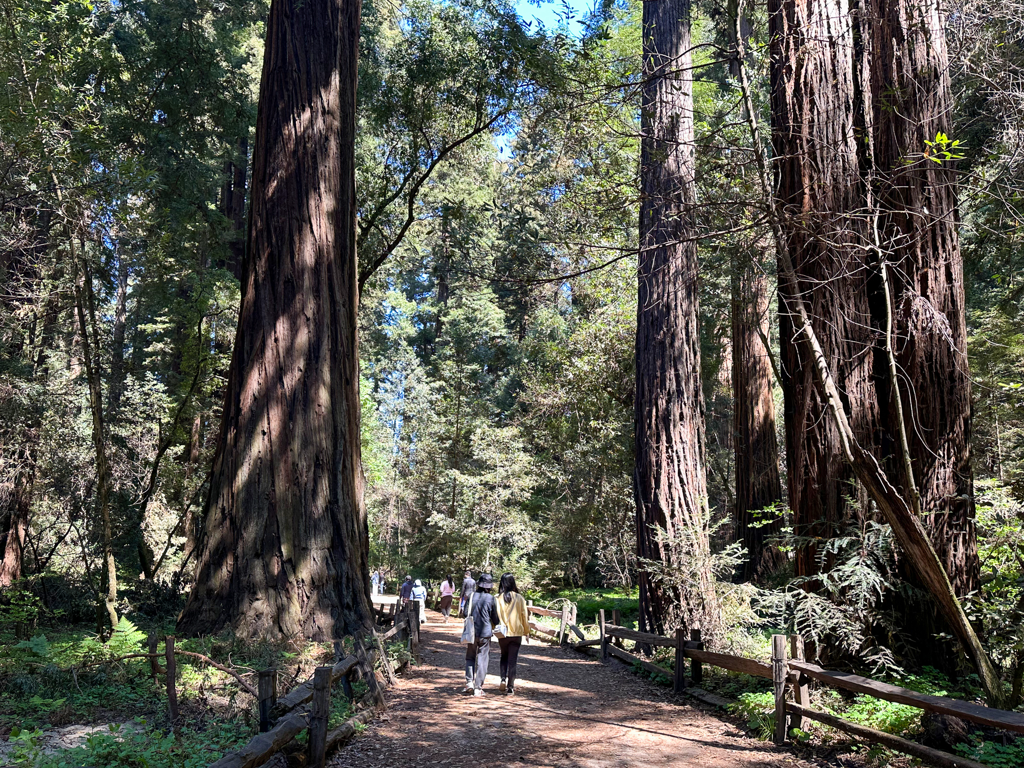
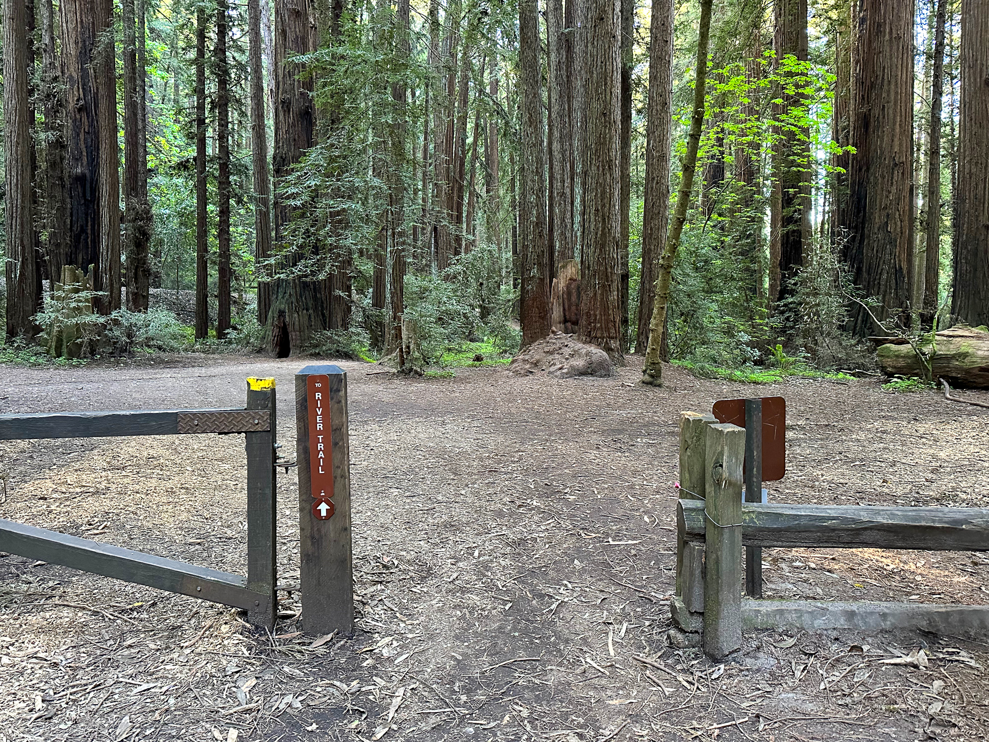
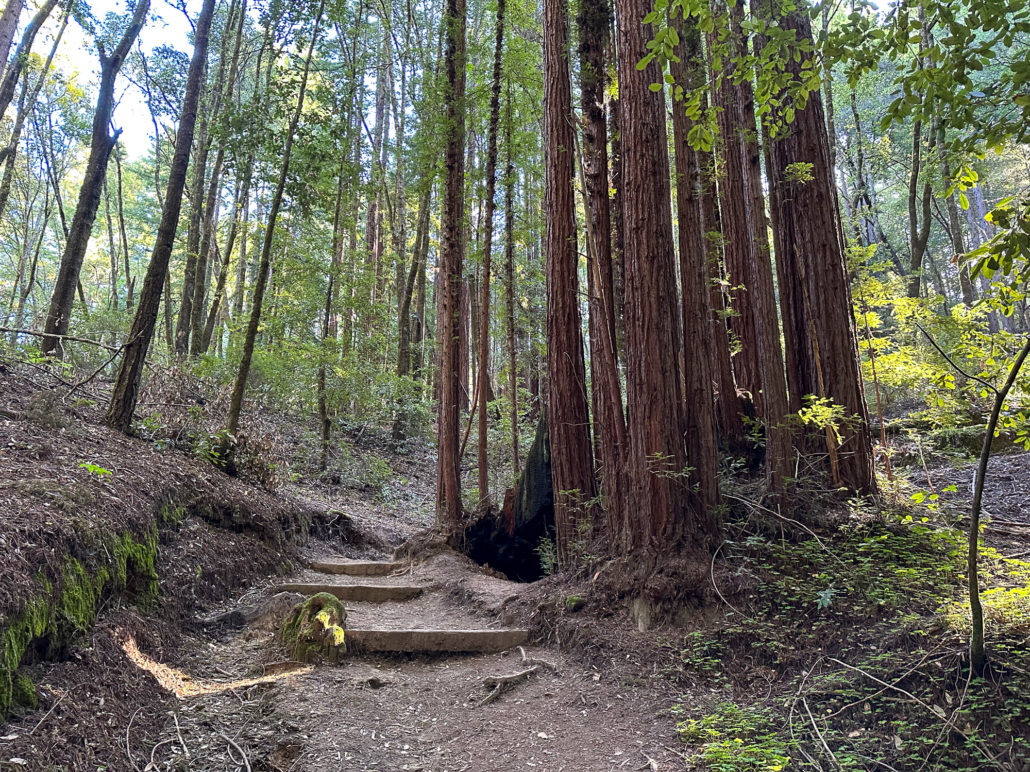
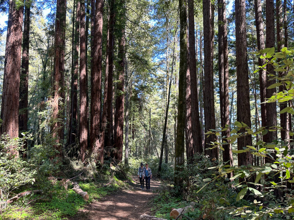
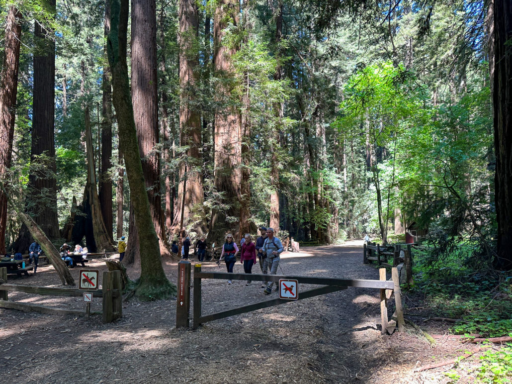
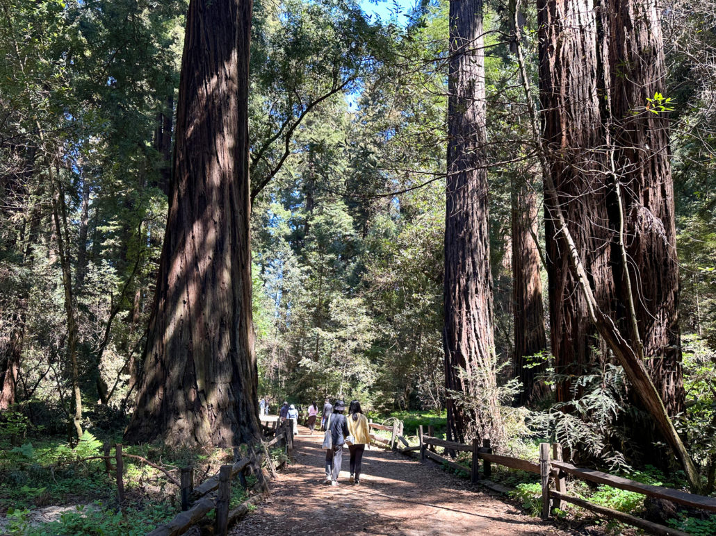
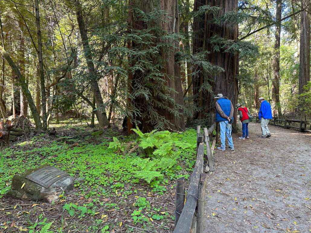
Begin at the Henry Cowell welcome sign at the edge of the parking lot, following the paved sidewalk past the Visitor Center. Bear right onto the Redwood Grove Loop Trail, a wide, ADA-accessible dirt trail through ancient redwoods, the tallest tree species on earth. Beneath them is a green understory of tanoak, tufts of baby redwoods sprouting from burls, and clover-shaped sorrel. Some trees have numbered signposts in front of them that correspond to descriptions found in a trail guide available on the park’s website.

Inspiration for California State Parks
Incredibly, this very redwood grove kickstarted the preservation of coast redwoods in California State Parks. Back in 1899, a writer and photographer named Andrew P. Hill was photographing redwood trees in this grove for a magazine assignment. However, the owner of the grove at the time became angry and demanded the negatives. Hill refused, and it lit a fire under him to do something to preserve coast redwoods so that everyone could enjoy them.
Soon after, Hill gathered a group at Stanford in 1900 to discuss saving the redwoods. A surveying committee was formed during the gathering, and afterward, the group went camping along Sempervirens Creek, in what is today Big Basin Redwoods State Park. There, they created the Sempervirens Club, and together, successfully rallied for the creation of Big Basin Redwoods State Park in 1902, the first state park to preserve coast redwoods in California.
The Giant and Frémont Tree
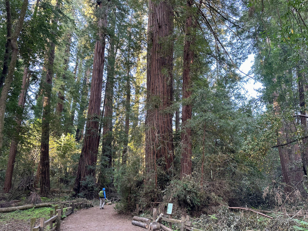
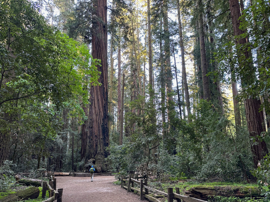
Halfway through the Redwood Grove Loop is a remarkable redwood called The Giant. It is roughly 1500 years old, 277 feet tall, and has a 16-foot diameter trunk. It is the tallest tree in the park, just 28 feet shorter than the Statue of Liberty from base to torch.
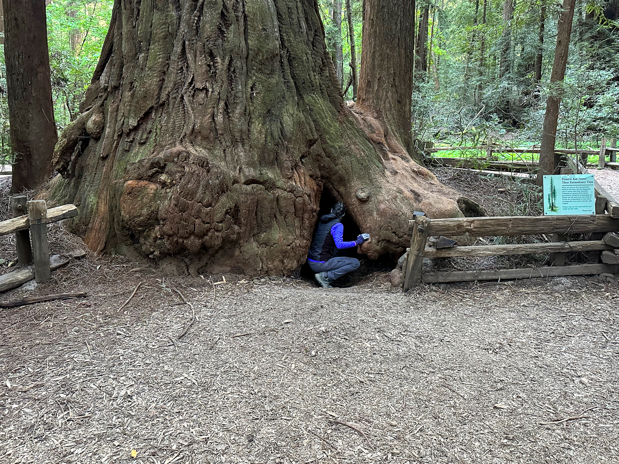
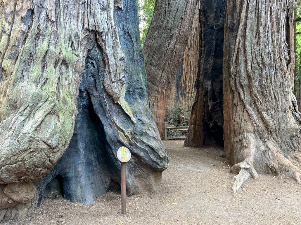
Three hundred feet beyond The Giant is another remarkable redwood called the Frémont Tree. The tree is named after Lieutenant John C Frémont, an explorer who camped here in 1846. Legend has it that he camped inside this hollowed-out tree. Years later, when asked if the story was true, he responded, “It makes a good story, let it stand.”

The Frémont Tree has a small opening that visitors are welcome to enter. Inside, it is pitch black and surprisingly tall and wide: A 6-foot-tall person can easily stand up inside and stretch out their arms—after crouching through the entrance, that is.
River Trail and Cable Car Beach
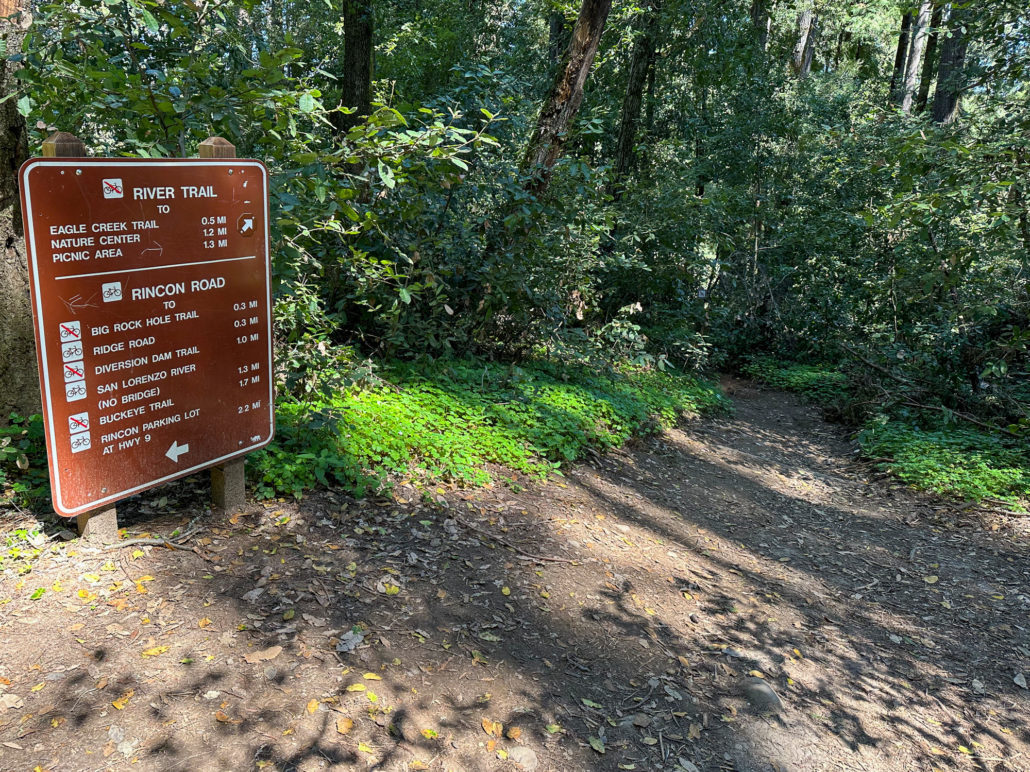
When ready, follow signs for the River Trail, exiting the Redwood Grove Loop just beyond the Frémont Tree. We’ll come back to finish the loop at the end of the hike.
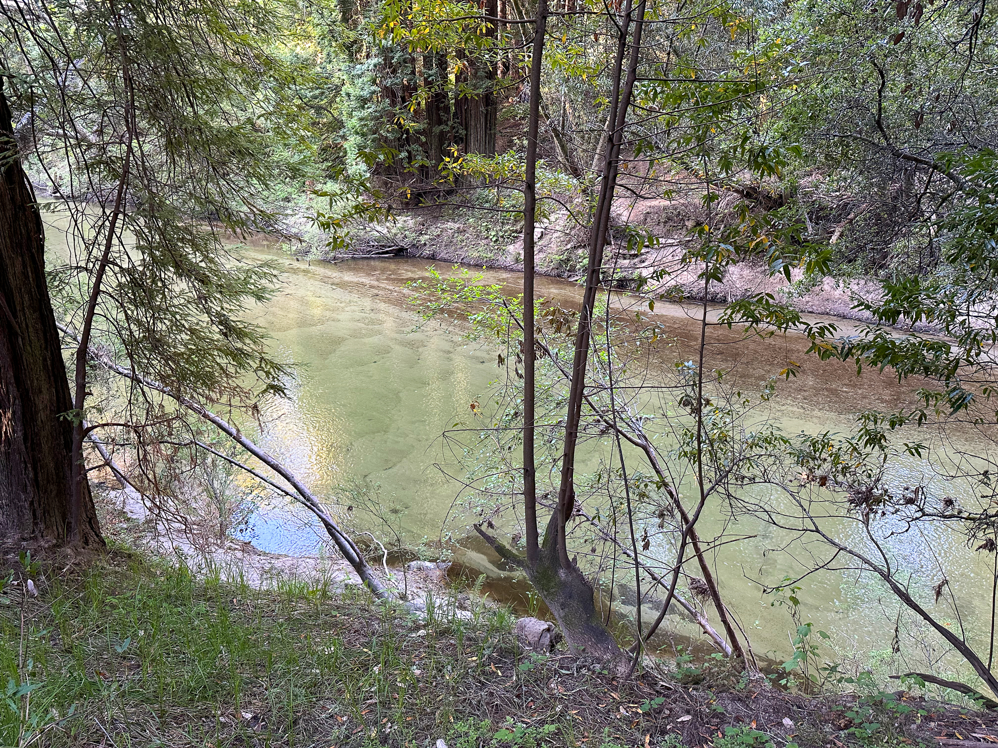
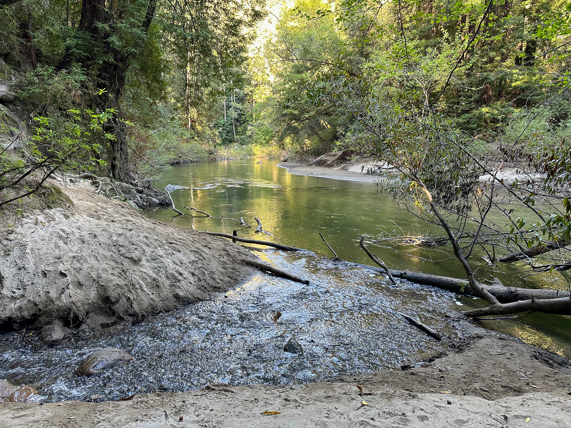
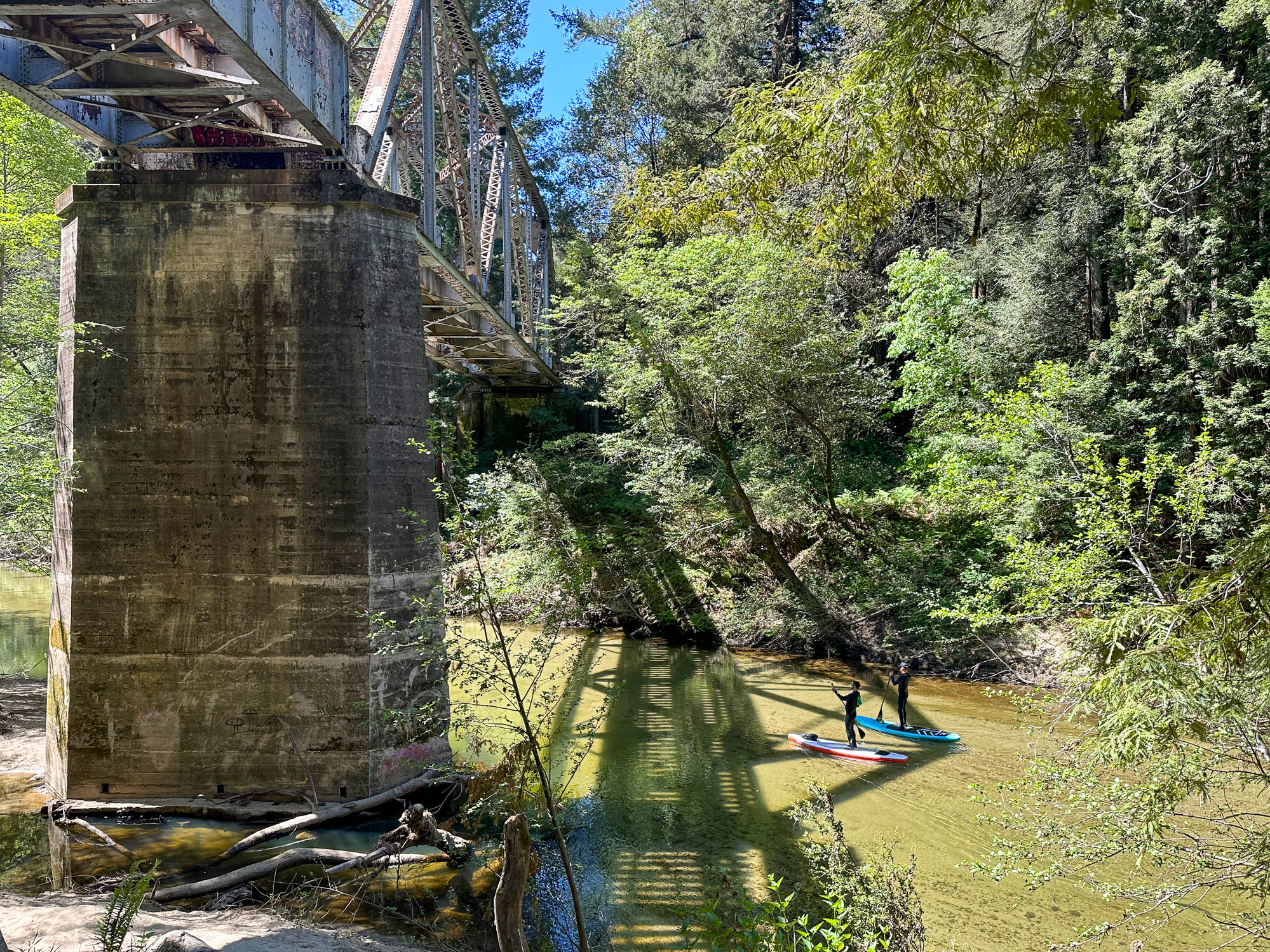
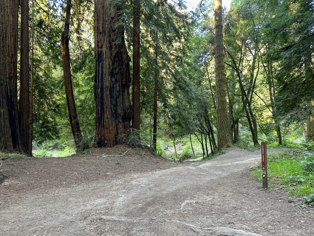
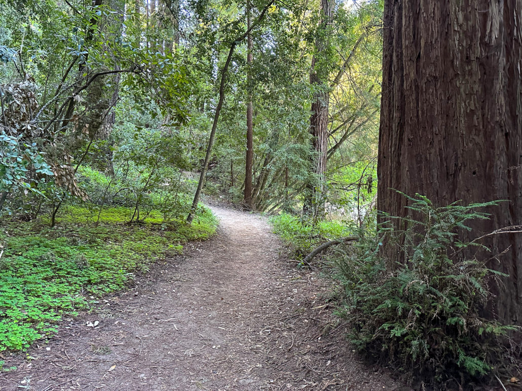
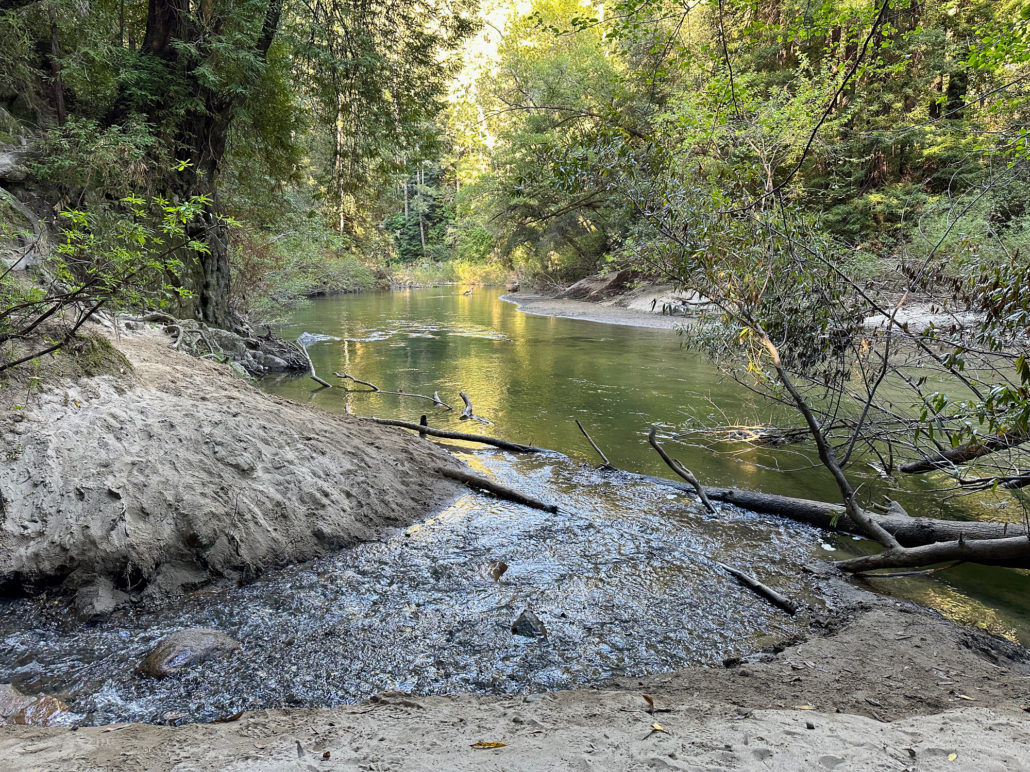
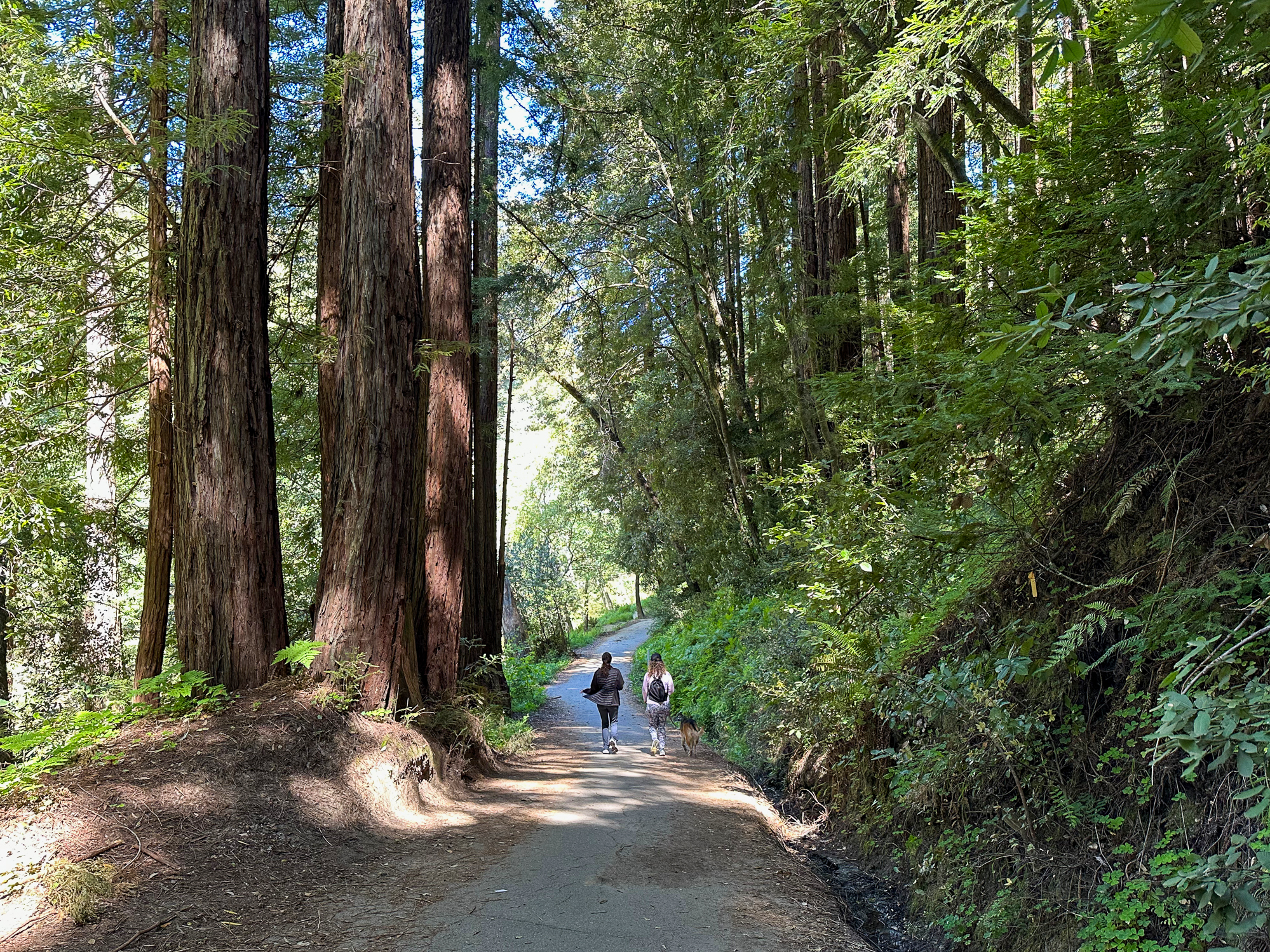
In 400 feet, cross the paved Pipeline Trail onto the River Trail, hiking southeast. The rolling single-track weaves among redwoods and the sounds of the San Lorenzo River. The river travels south through downtown Santa Cruz and eventually empties into Monterey Bay.

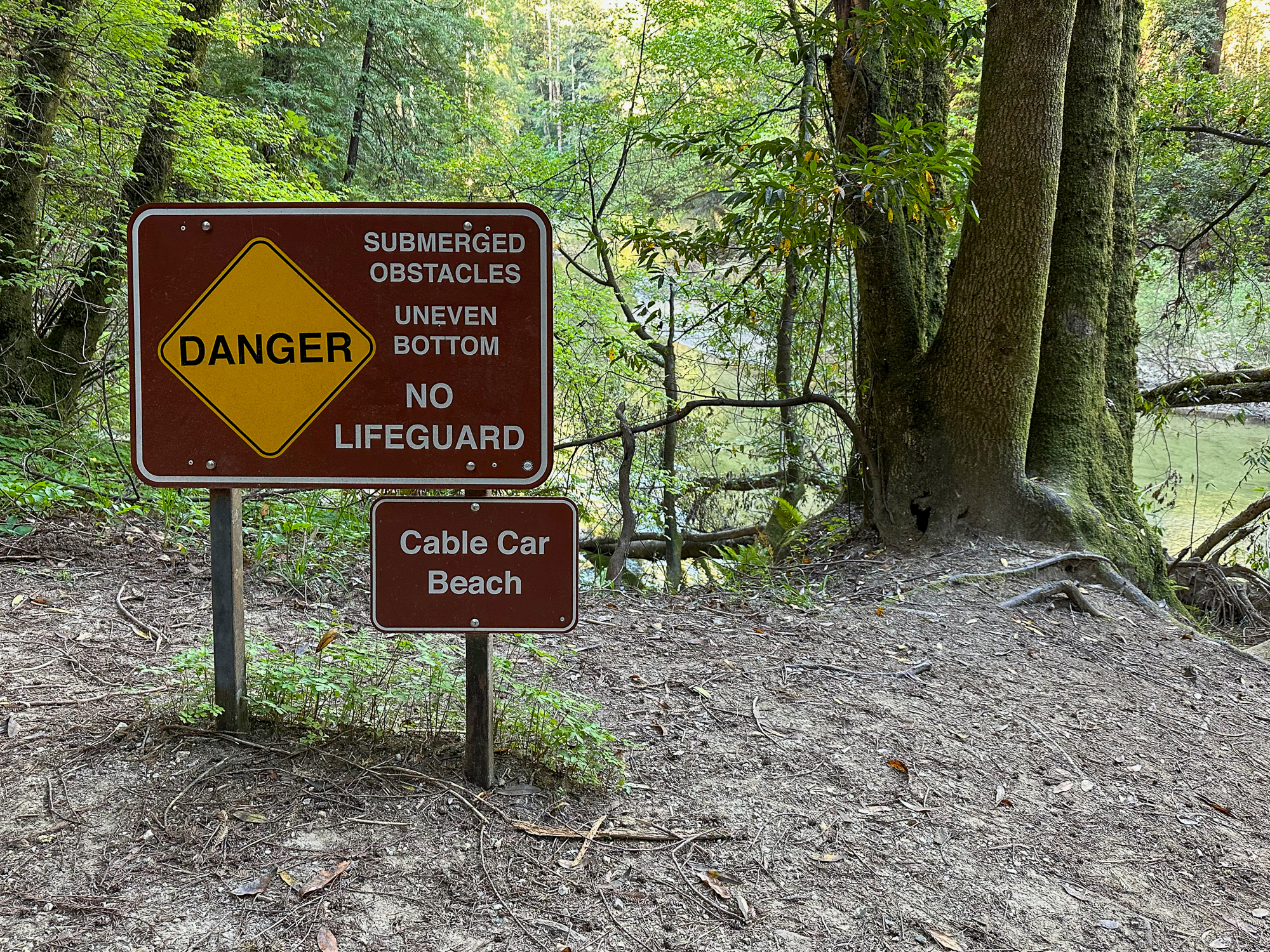
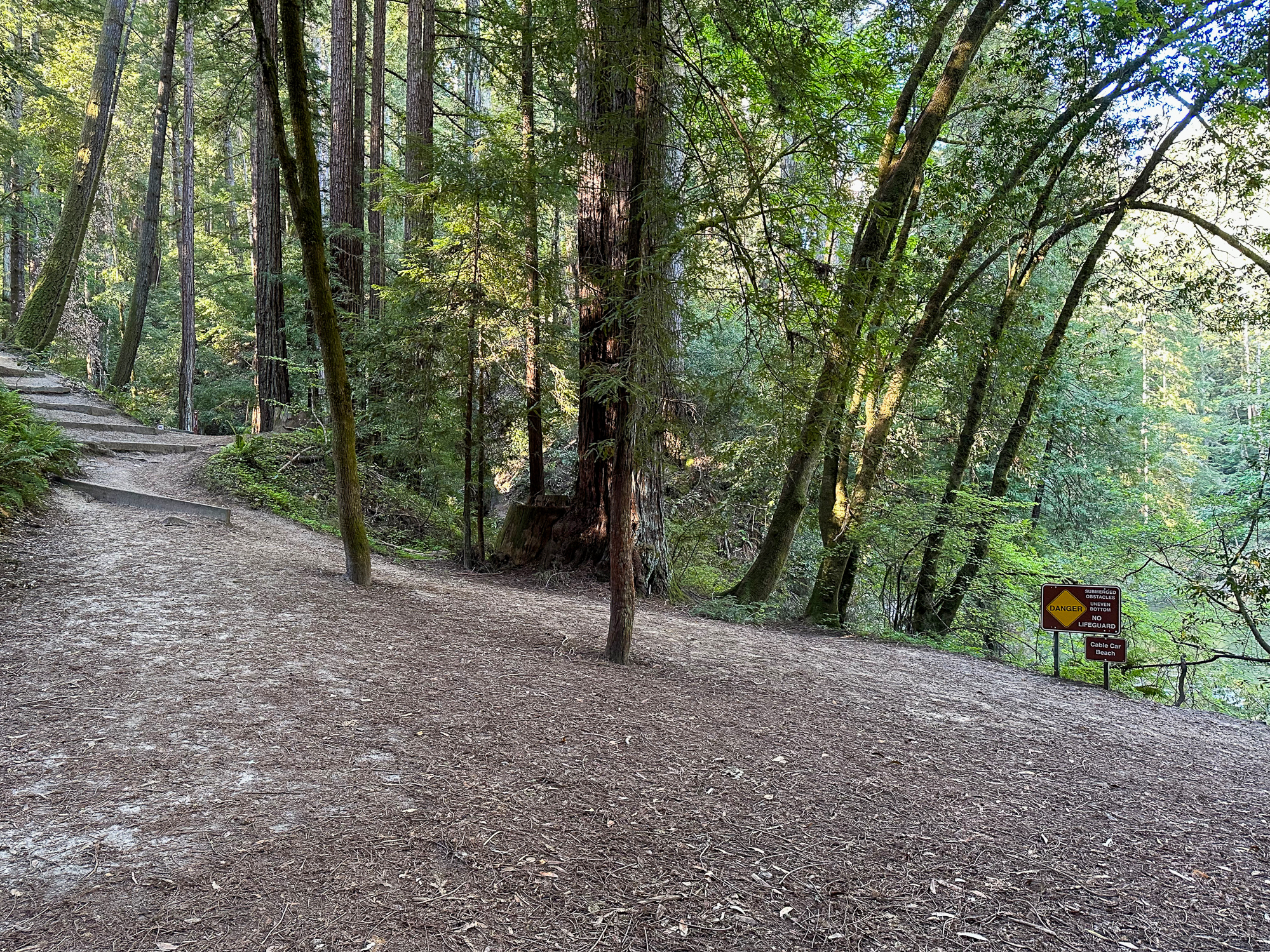
At the 1.1-mile mark, arrive at Cable Car Beach, a swimming hole with a small beach good for wading and splashing.
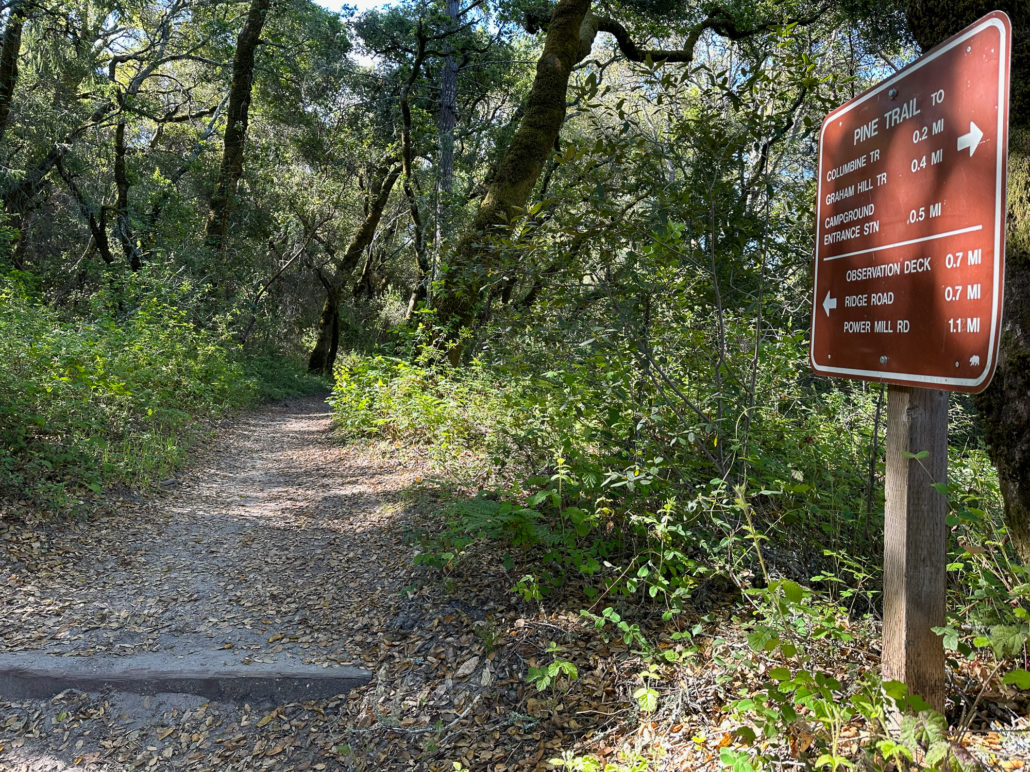
Eagle Creek Trail and Pine Trail
When ready, bear left and climb the steps up the Eagle Creek Trail. To your right is the River Trail connector, where you will come out at the end of this upper section.
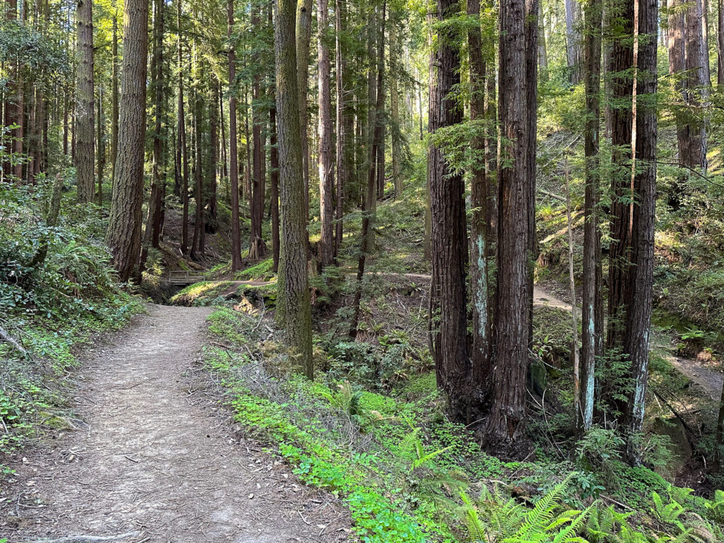
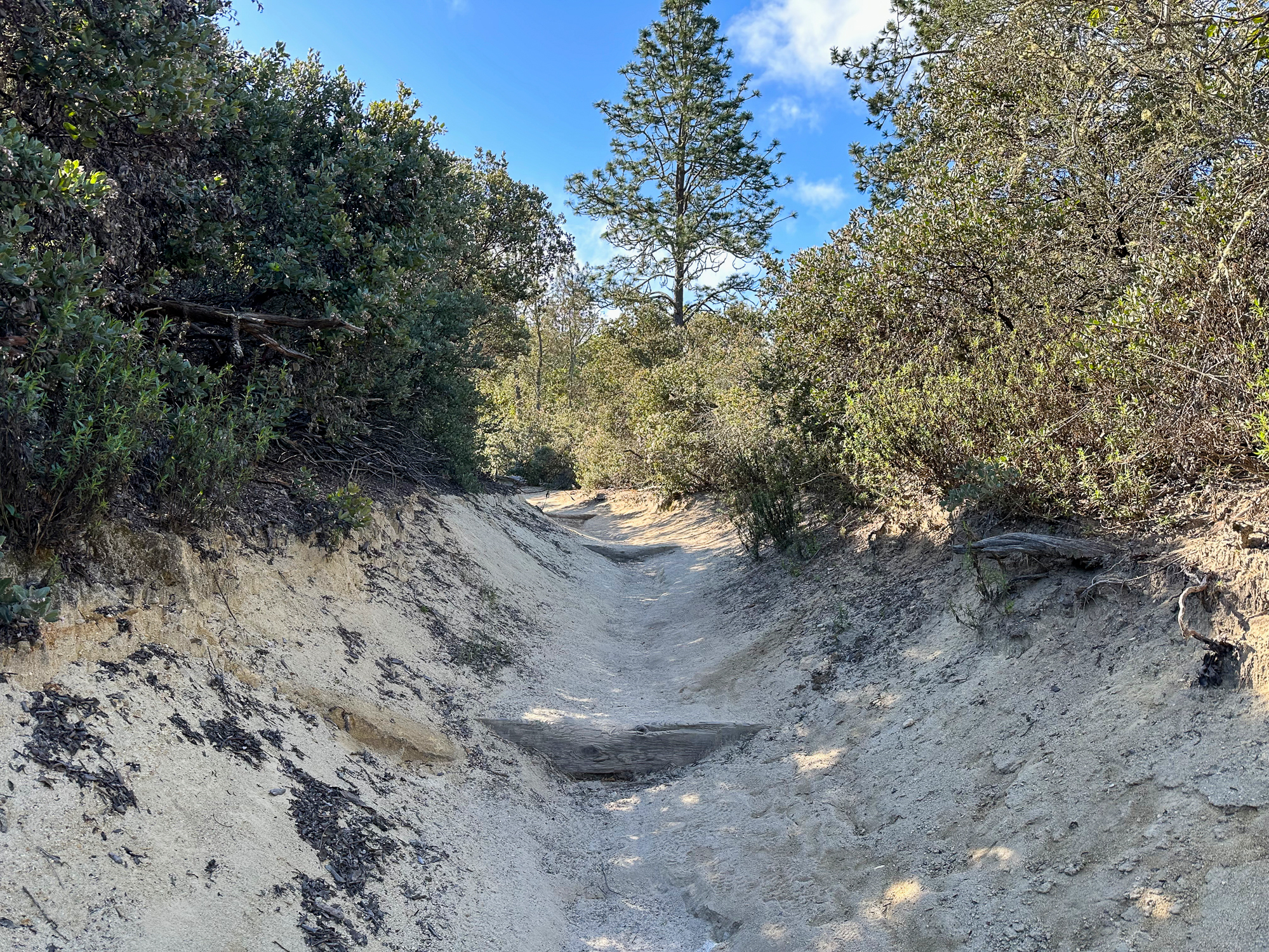
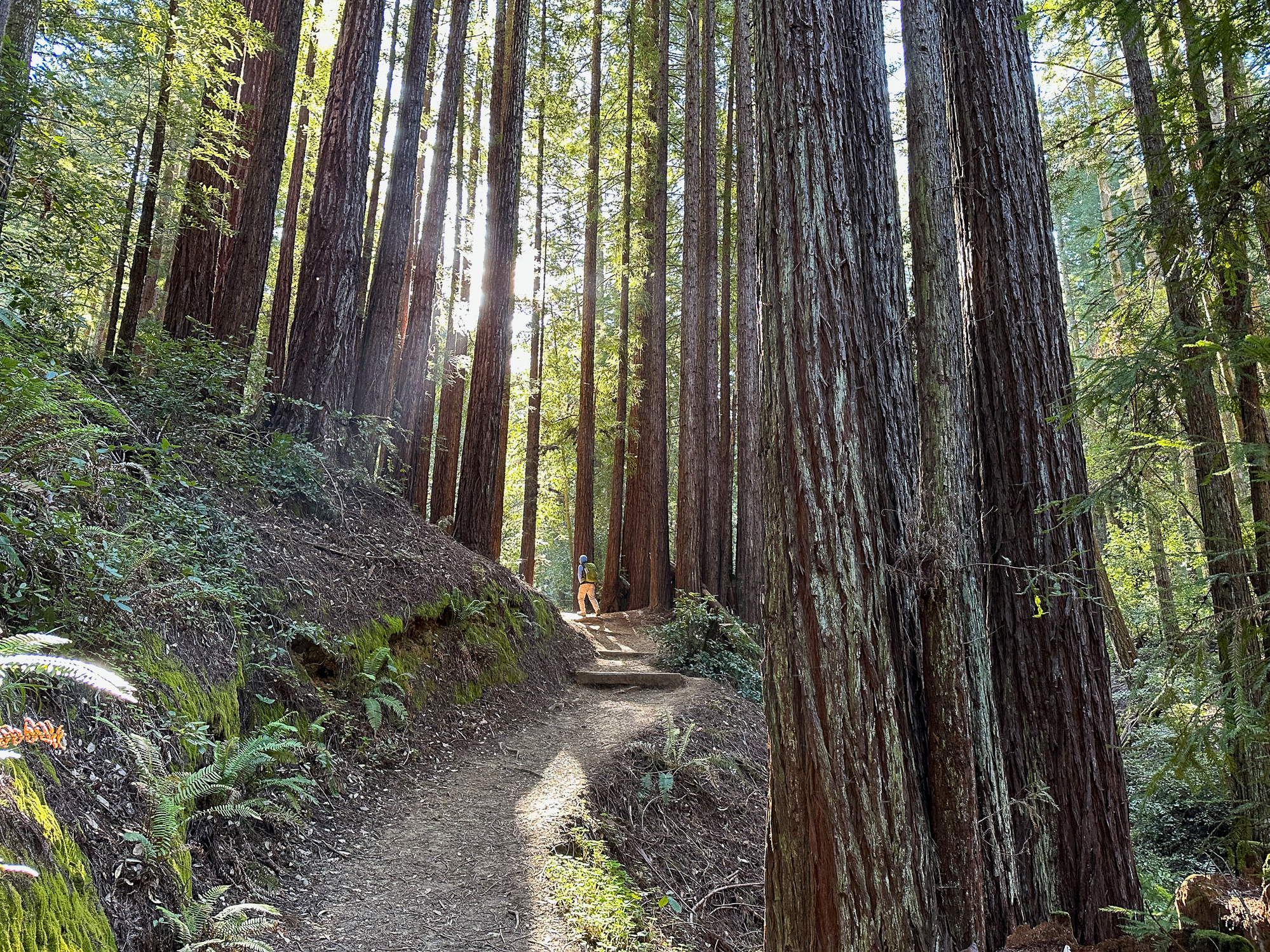
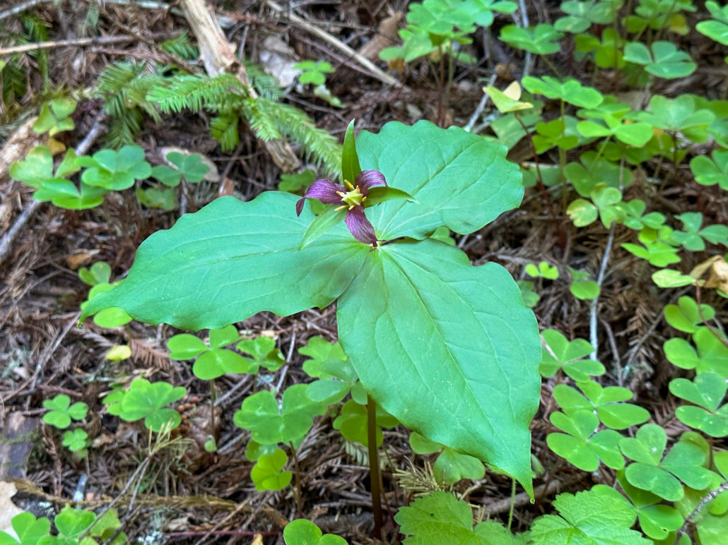
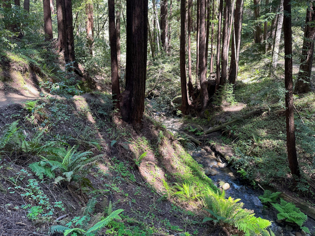
The trail climbs an enjoyable, moderate grade along a peaceful, airy ravine with Douglas fir, redwoods, violets, and trillium. Steep hillsides drop sharply down to Eagle Creek. As you climb, the forest transitions to a dryer, chaparral hillside, with beachy sand below your feet.

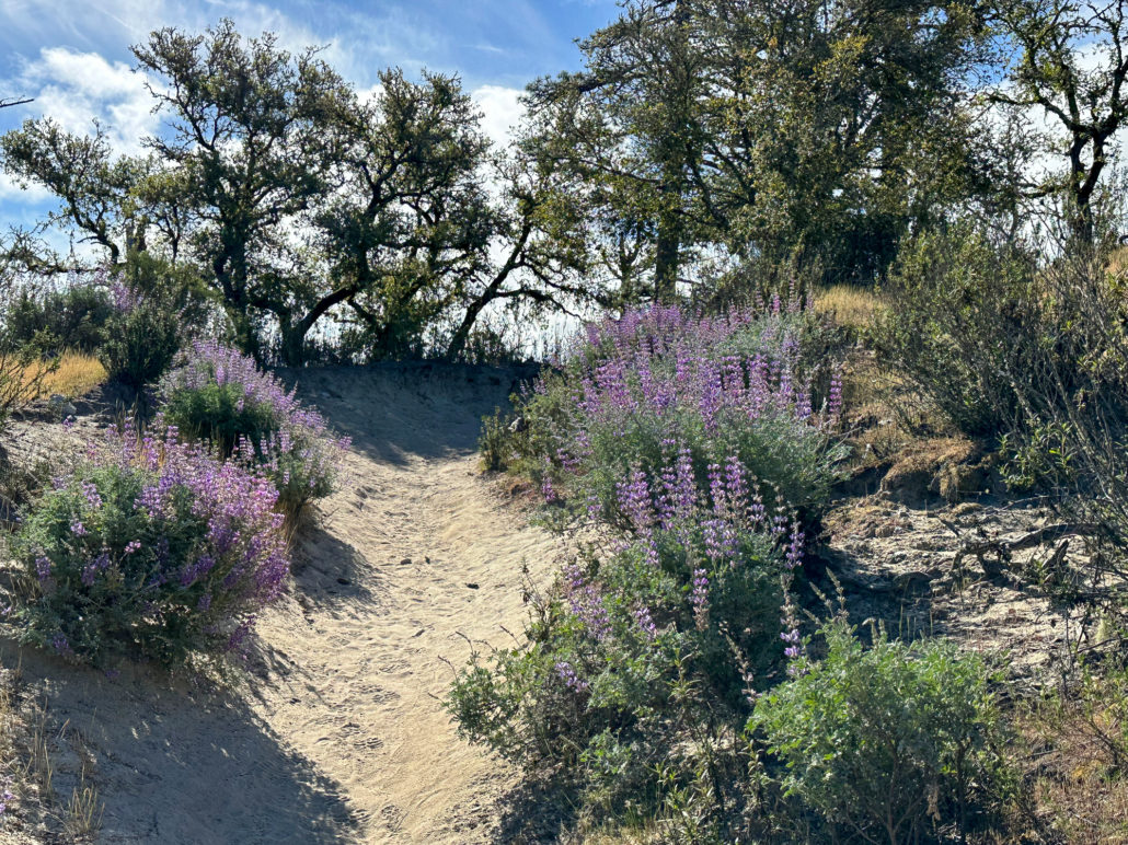
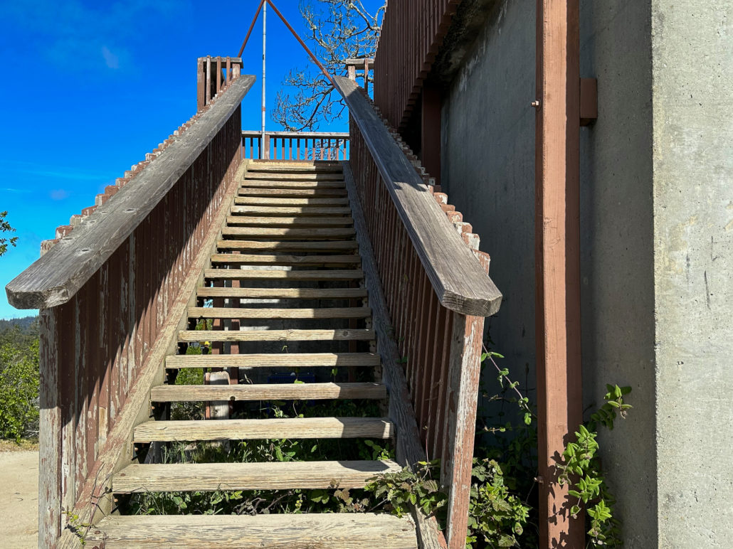
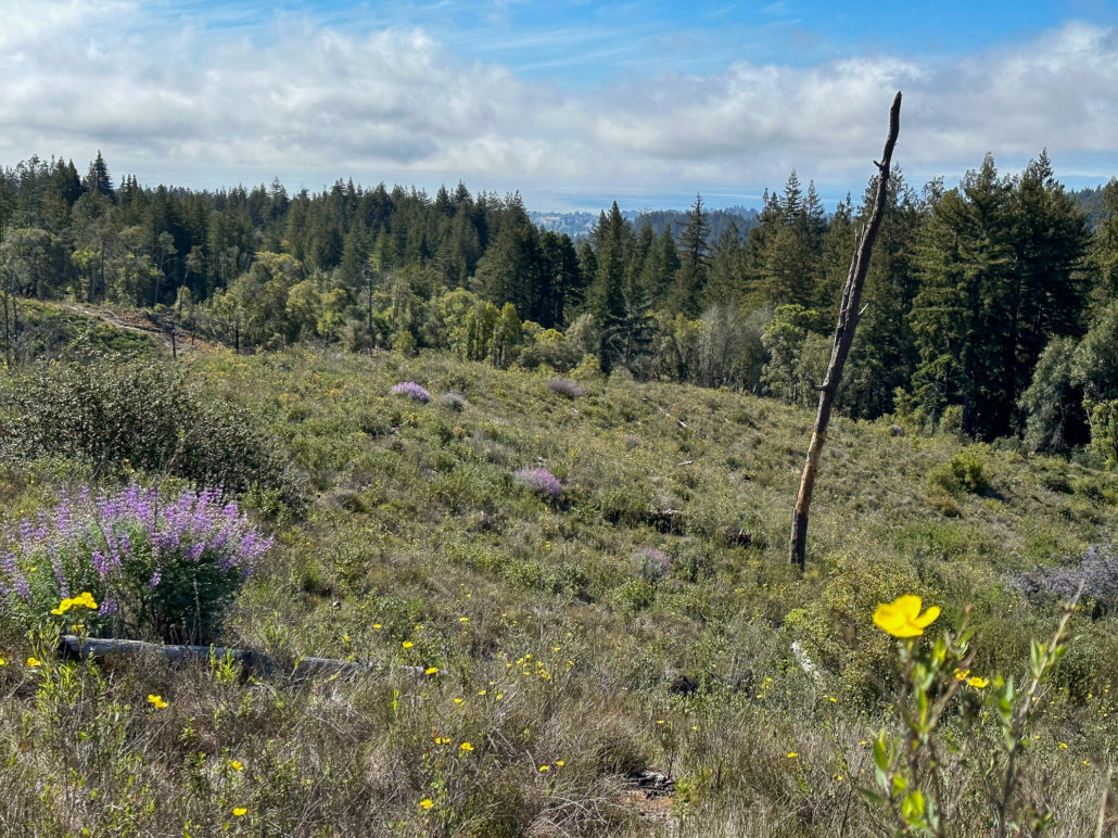
At 2.2 miles, turn right onto the Pine Trail toward the Observation Deck. To your left, campsites from Henry Cowell Campground are visible through a thin part of the forest. Pretty purple lupine bloom along the trail in spring beneath tall ponderosa pine. Near the top of the trail, the canopy opens and the trail is fully exposed to the sun.
Ridge Road and Observation Deck
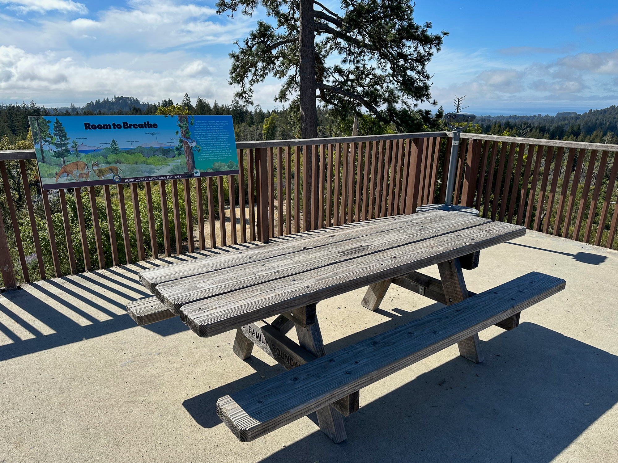
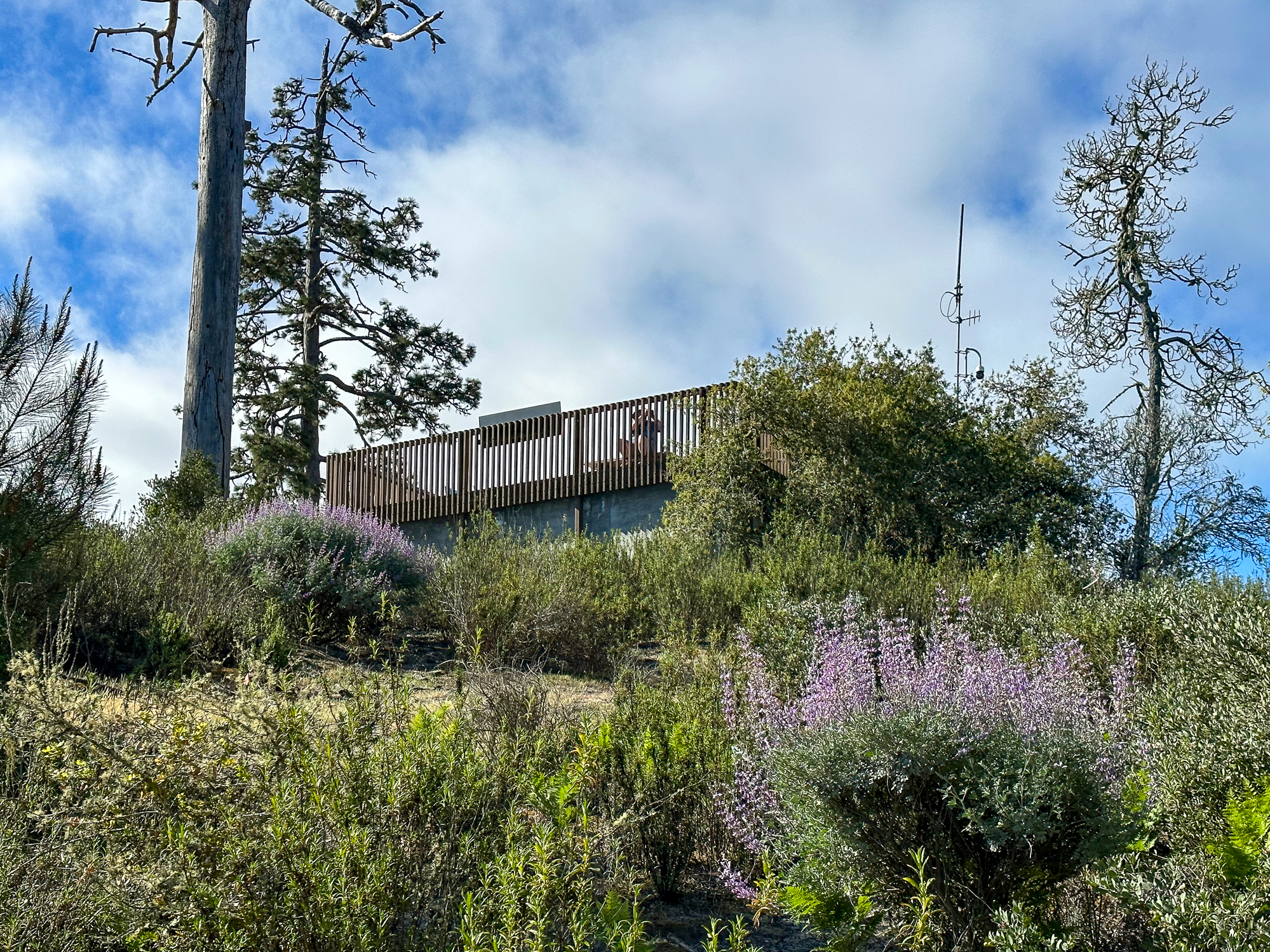
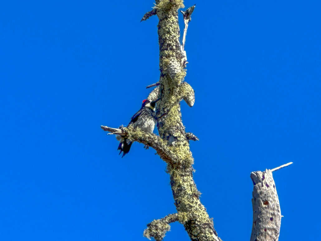
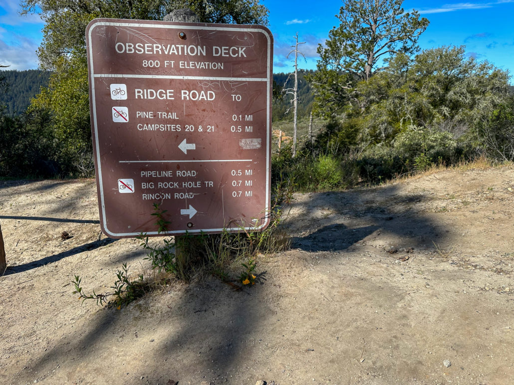
Just over halfway through your hike, at 2.8 miles, arrive at the Observation Deck, the highest point in the park at 805 feet elevation. There are two picnic tables on the deck that make great spots for snack breaks. Beside the deck is a large granary tree. You’ll likely hear red-crowned Acorn Woodpeckers’ distinctive call—a bit like a squeaky dog toy.
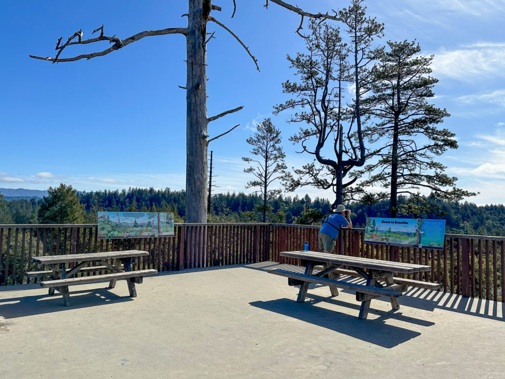
The 360-degree view from the Observation Deck spans the Monterey Bay and the Santa Cruz Mountains. This region is part of a rare plant community called the Santa Cruz Sandhills. It was once part of the ocean floor over 10 million years ago, and scientists have discovered fossils like sand dollars and shark teeth. The Sandhills are also home to rare plants and animals, like the Ben Lomond spineflower and the Santa Cruz kangaroo rat.

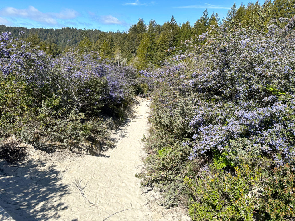
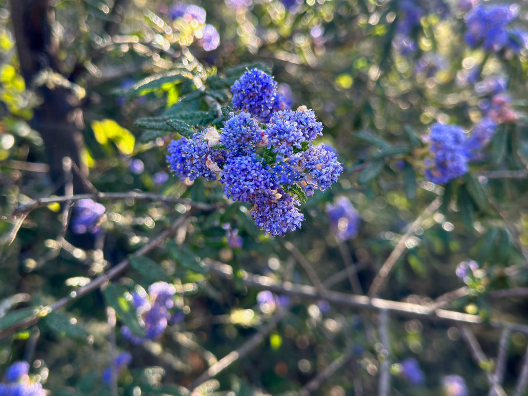
When ready, follow Ridge Road west toward Rincon Road. The sun-drenched, sandy trail descends through tunnels of ceanothus and lupine and past meadows of bush poppy. In no time, you are back under the shady canopy of Douglas fir and coast redwoods.
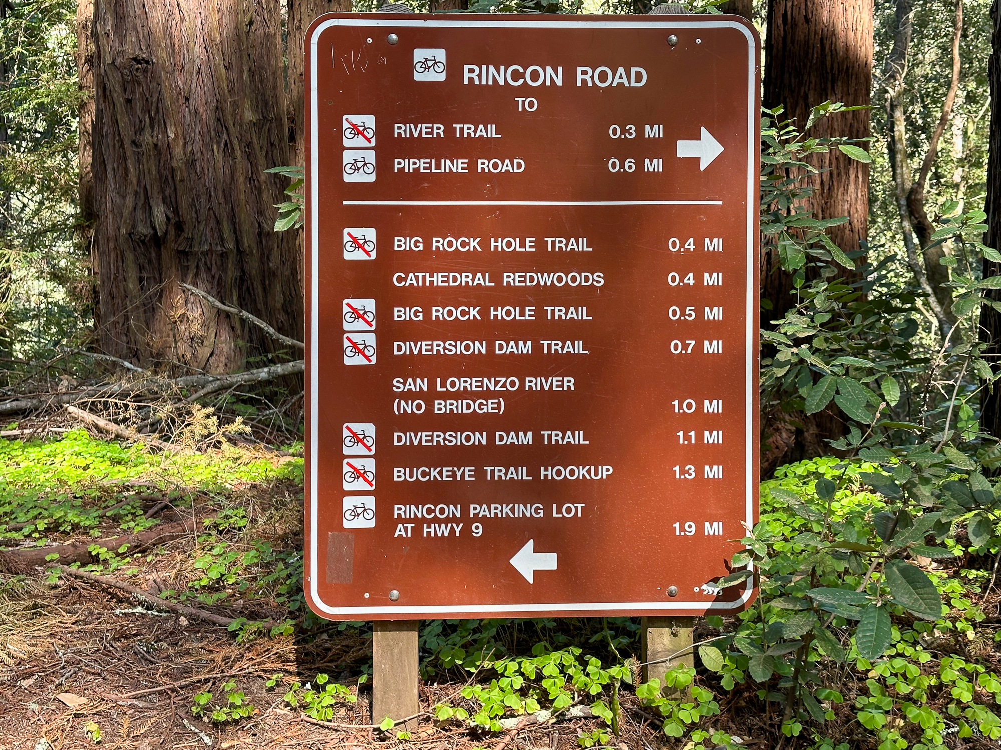
Rincon Road and River Trail
At the 3.4-mile mark, turn right onto Rincon Road, heading northwest toward the River Trail. The uneven and rooty trail descends a moderately steep slope, and lovely redwood family circles are anchored beside it.
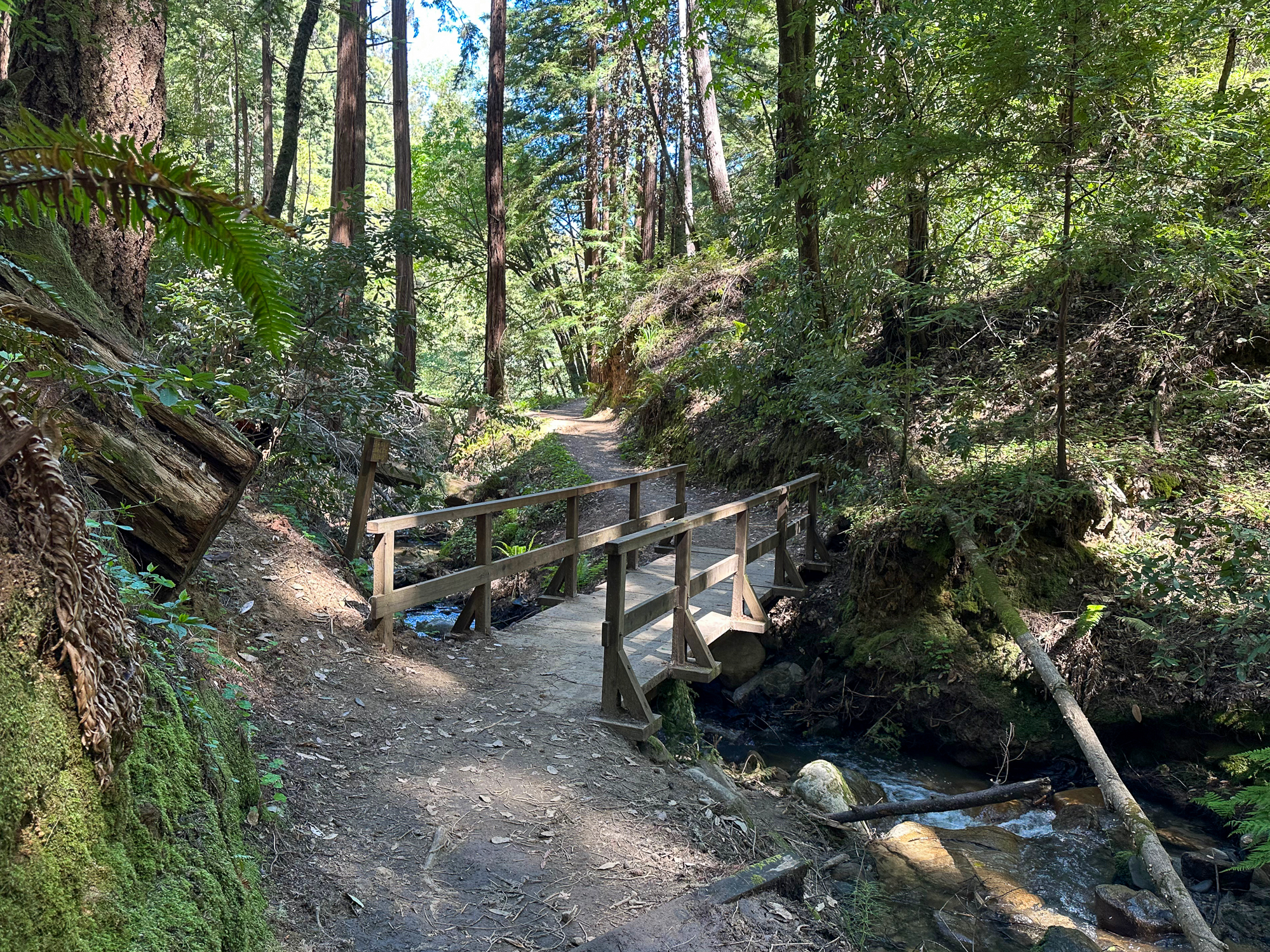
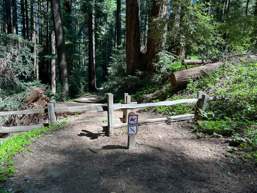
Next, bear left onto the River Trail, heading north towards the Eagle Creek Trail. Beautiful patterns of light filter through the tree canopy. After crossing a small wooden bridge, bear left again, passing through a wooden fence.
The redwood forest soon opens up to the familiar ravine surrounding Eagle Creek. The shady trail hugs the edge of it, descending to a bridge over Eagle Creek. Emerge at the junction of Cable Car Beach and the Eagle Creek Trail you hiked by earlier. Continue north under the forest toward the paved Pipeline Trail.

Pipeline Trail and Redwood Grove Loop
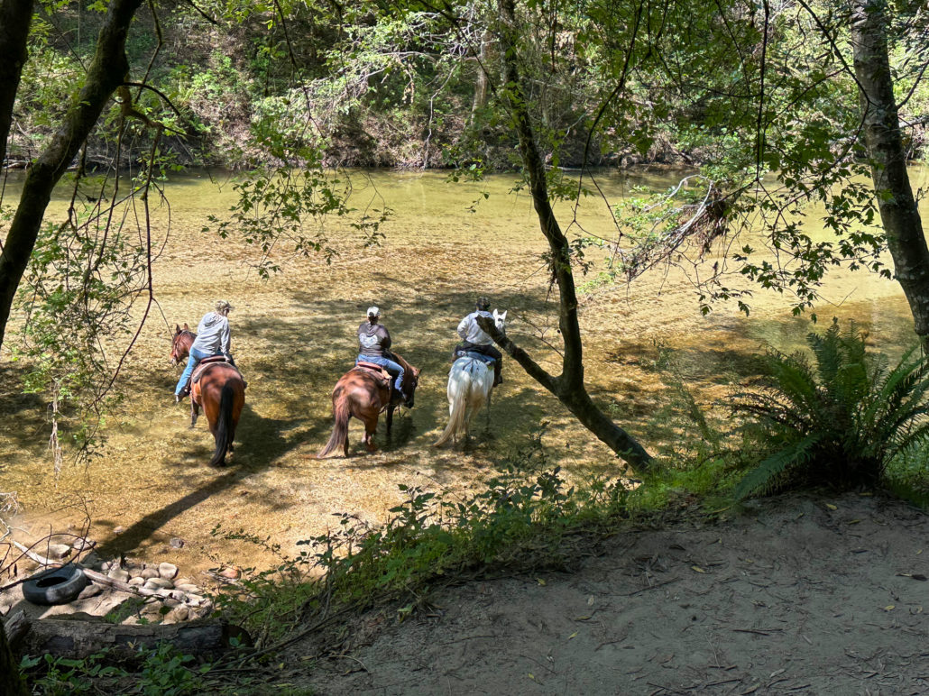
At 4.2 miles, merge onto the paved Pipeline Trail, heading northwest towards the Redwood Grove Loop. The mostly shady trail is one of the few open to leashed dogs. You may also see horseback riders and paddlers in the San Lorenzo River.

After 0.3 miles, turn right onto the Redwood Grove Loop connector, retracing your steps back to the Redwood Grove Loop. On your right, you may see a steam train coming through the forest from Roaring Camp next door, taking riders up to Bear Mountain.
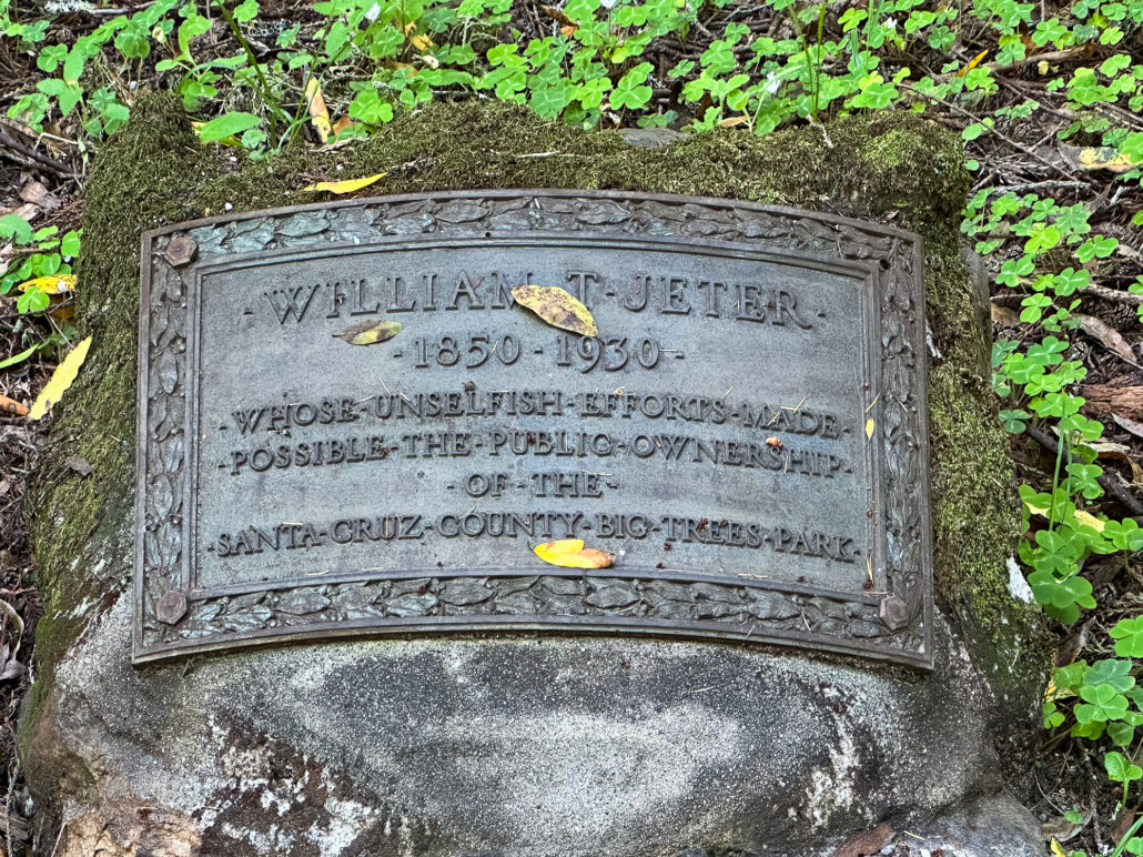
Near the end of the Redwood Grove Loop, look for the Jeter stone on your left. The stone honors Lieutenant Governor William T. Jeter, who, along with his wife, Jennie Bliss Jeter, and friend, William Welch, Jr., campaigned for Santa Cruz County to buy this redwood grove when it came up for sale. They were successful, and in 1930, Santa Cruz County purchased 120 acres. It became Santa Cruz County Big Trees Park, and the county managed it for 24 years.
A New State Park
By the early 1950s, Samuel “Harry” Cowell, was the only surviving member of the Cowell family. His father, Henry Cowell, was born in 1819 in Massachusetts and traveled to California in 1849 during the Gold Rush. By the late 1800s, Henry Cowell had established multiple businesses and accumulated thousands of acres of land in Santa Cruz County, including acreage near this redwood grove.
In 1953, Samuel “Harry” Cowell donated 1,623 acres of land adjacent to Santa Cruz County Big Trees Park with the understanding that the gifted land would be combined with the Santa Cruz County Big Trees Park to form a new state park named after his father. Henry Cowell Redwoods State Park was formally dedicated on August 18, 1954.
If this California State Park story rings a bell, you are right! Over the Santa Cruz Mountains and across Santa Clara Valley, the other Henry State Park—Henry W. Coe State Park—has a similar origin story and timeline. In the early 1950s, Sada Coe Robinson gifted land to Santa Clara County with the understanding it would become a public park and would have a memorial dedicated to her father, Henry W. Coe. In 1958, the county transferred the land to the state, and it became Henry W. Coe State Park, today the largest state park in Northern California.
Resources:
- Henry Cowell Redwoods State Park
- Sempervirens Fund
- Big Basin Redwood Forest: California’s Oldest State Park by Traci Bliss
Tags: forest, Monterey Bay, redwoods, san lorenzo river, Santa Cruz, Santa Cruz mountains, Santa Cruz Sandhills, shade, vista, water features, wildflowers