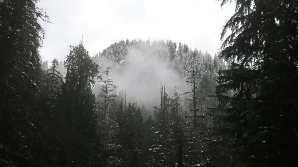
Sandwiched between two high-traffic hikes on the Mountain Loop Highway, Heather Lake is an easier alternative to the bustling Lake 22 and Mount Pilchuck trails. It may be a little quieter, too, but not by much. Choose this trail for its relatively easy access, a good workout, and nearly year-round hikeability.
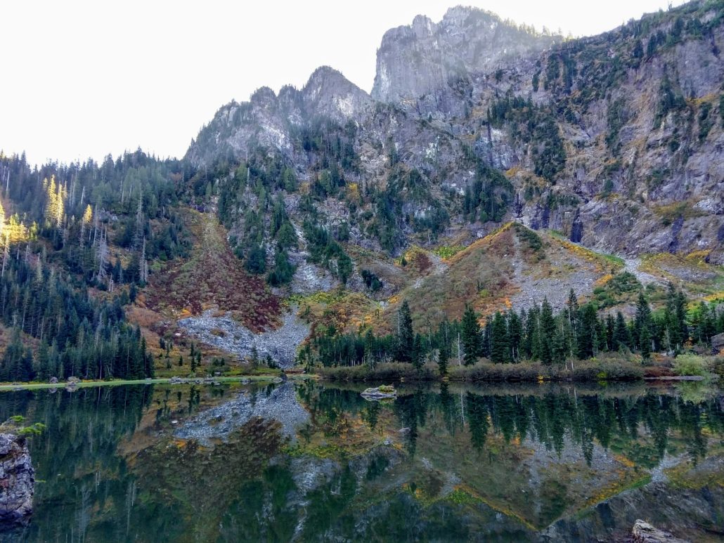
Mount Pilchuck’s presence above Heather Lake makes this 3-season hike feel like a high country outing. Thankfully, its modest elevation allows for access in spring and late fall when the alpine is still covered in snow.
Hiking Heather Lake Trail
Begin hiking south from the signed Heather Lake trailhead. The trail climbs steeply for the first 0.5 miles, easing after a few switchbacks. Resume your ascent at 0.9 miles as the trail nears Heather Creek, paralleling it southbound to its source.
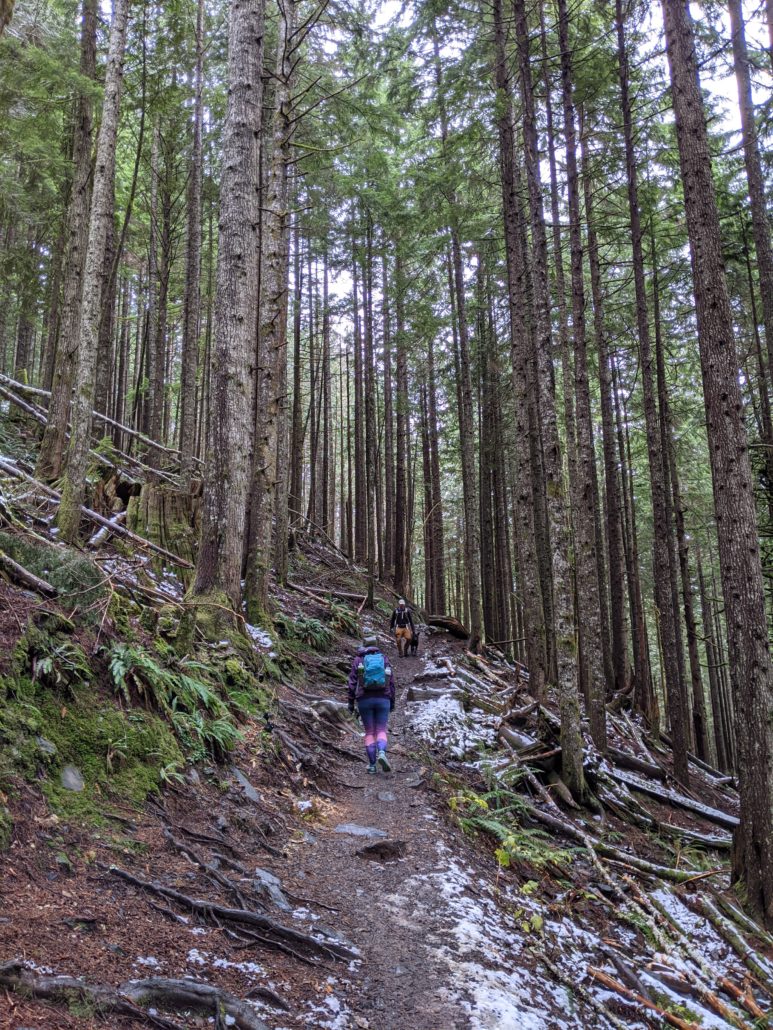
The trail to Heather Lake is lined with second-growth forest, old-growth stumps, and ferns. During wetter months you’ll encounter water on the trail and a few small waterfalls. Watch your footing on the slippery roots and big rock steps.

At 1.8 miles, reach the trail’s 2,440-foot high point. The trail drops about 40 feet to the lake, reaching a junction at 2.1 miles. You can go either way here — we turned left for a clockwise loop. After passing a backcountry toilet spur, you’ll come to a boardwalk along Heather Lake’s eastern shoreline. This marshy area is colored seasonally with spring-summer wildflowers and fall foliage.
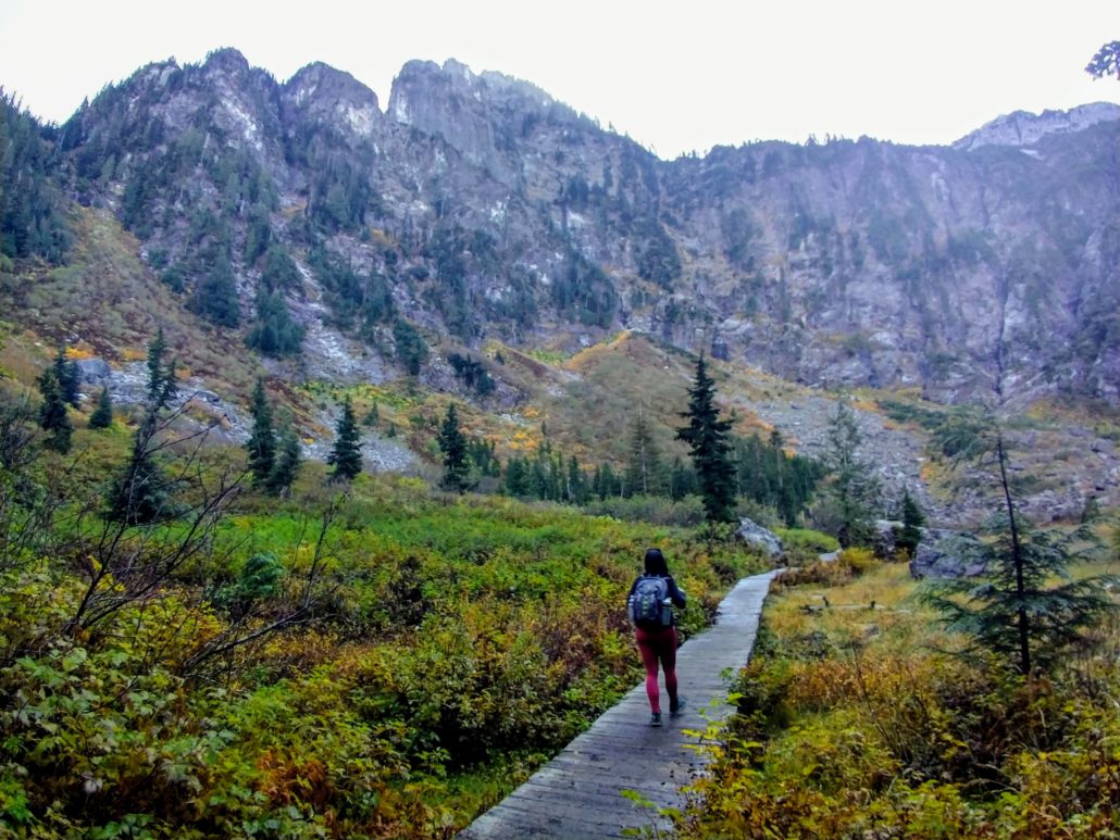
Mount Pilchuck rises to the southwest. Visible from the lakeshore, this mile-high mountain is home to a popular fire lookout trail. As you continue around the lake on a series of boardwalks, big boulders on the west side of the lake make for a good photo-opp and lunch spot. Finish the loop, then return via the main trail.
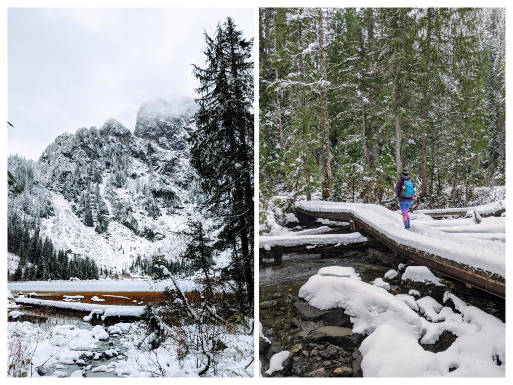
Winter at Heather Lake
Between late fall and early spring, Heather Lake Trail is typically snowed-in. You may be able to reach the lake without snowshoes, but it’s best to be prepared for winter conditions. Do not hike the loop around the lake in winter due to avalanche danger from Mount Pilchuck’s slopes.
