The Gridley Trail is a great hike for those looking to extend their range without signing up for a ridiculous amount of elevation gain. This trail has a consistent incline throughout, and makes the 2600 ft gained feel very manageable by the time you summit Nordhoff Peak. This gentle climb, in combination with the views of Lake Casitas and the Pacific Ocean you’re rewarded with, make it a very popular day hike in the Los Padres National Forest.

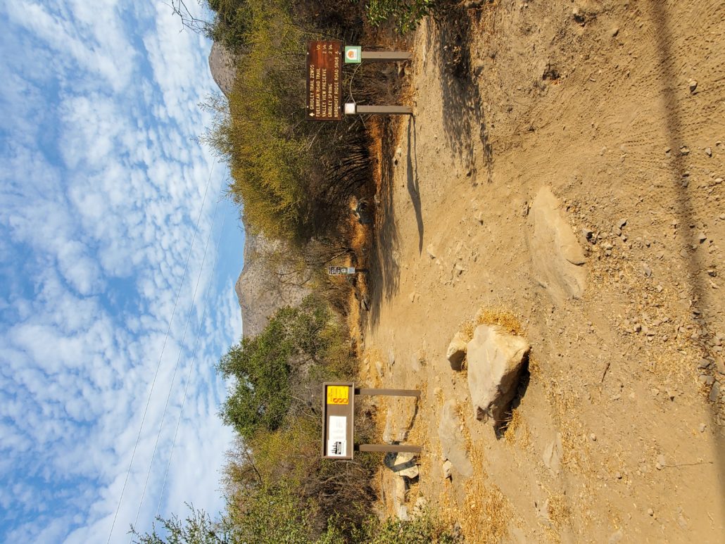
Park your car at the trailhead on Gridley Road, either pulled off to the side of the road, or at the roundabout at the end of the street. You’ll see a trailhead sign showing a few markers from this spot, including Gridley Spring and Valley View Preserve.
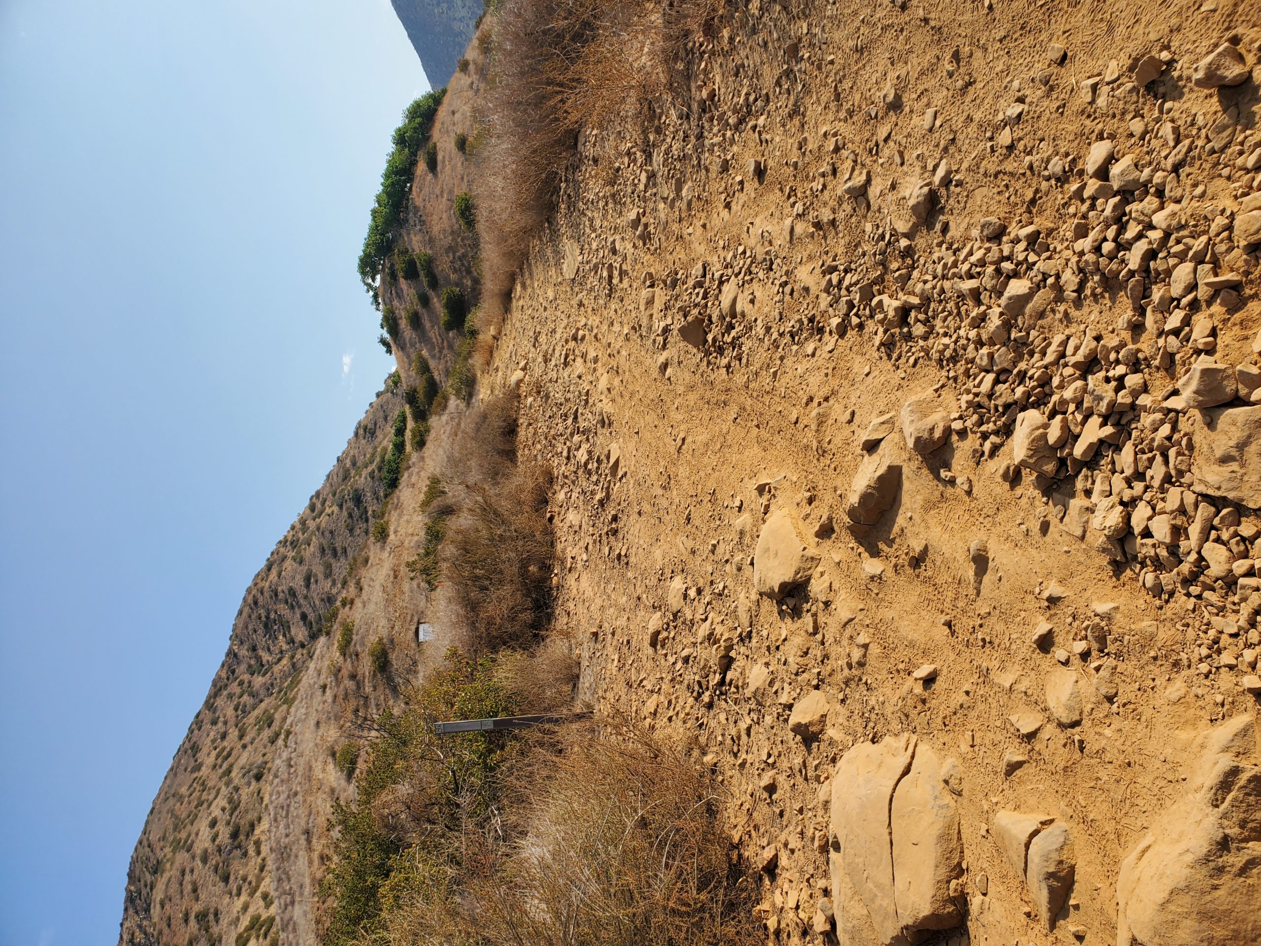
The hike begins with a short winding section through the brush as you head up Gridley Trail. This trail is entirely dirt roads, but this is the rare section that you’re graced with actual dirt and rock steps. This is also one of the few sections of the trail with any shade, so be aware of what season you’re hiking in and take the appropriate caution.
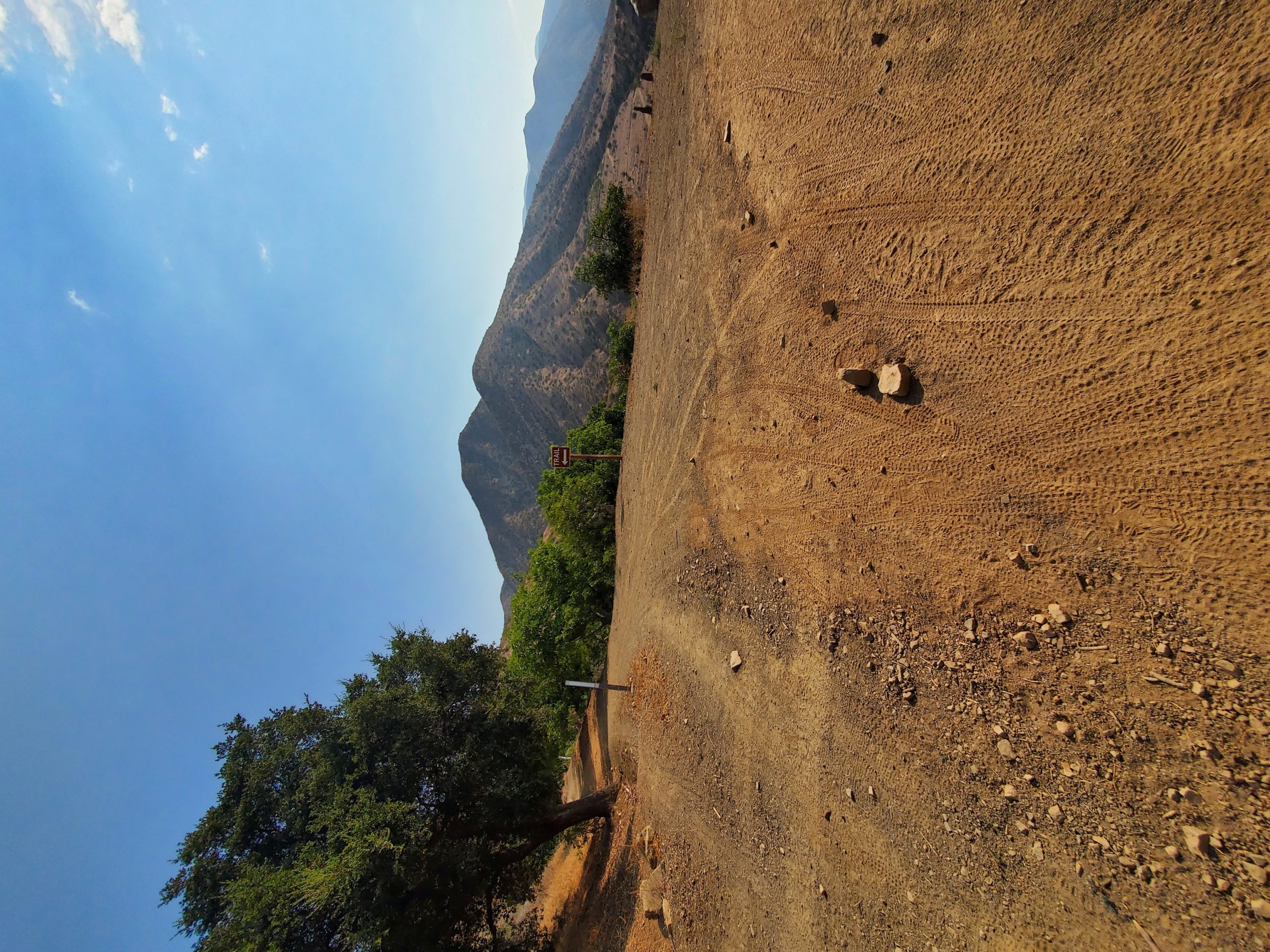
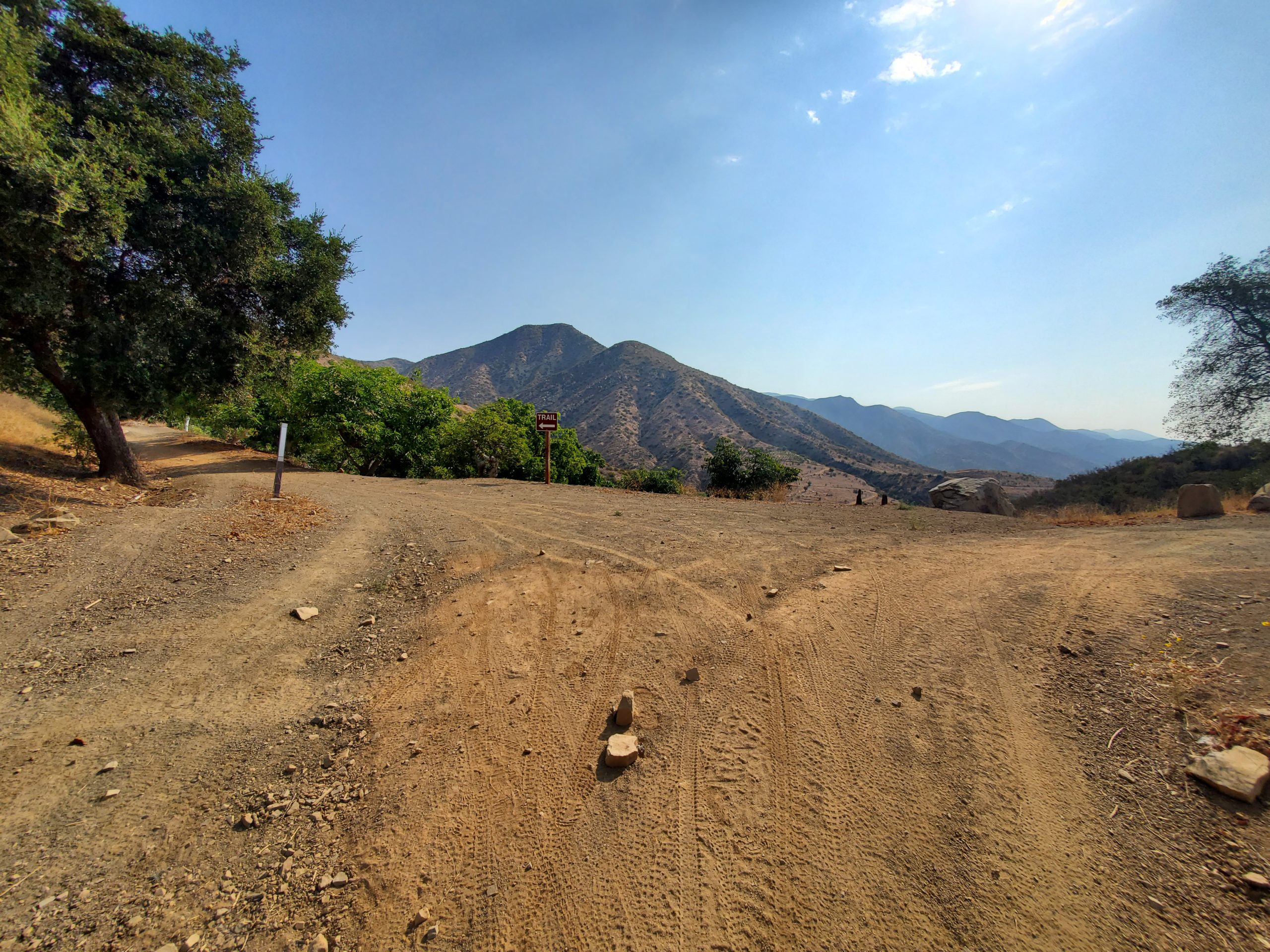
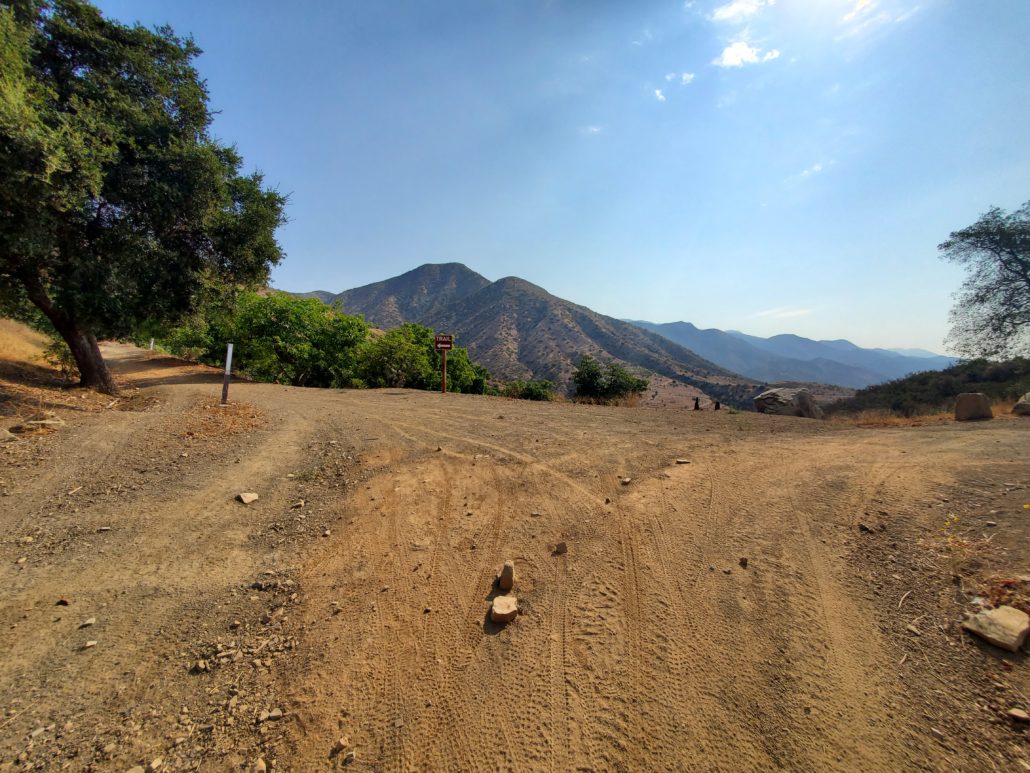
At the 0.4 mile mark, the trail will split off in two different directions on Gridley Canyon Road. If you go towards the West onto Gridley Canyon Road, you’ll head towards some other routes such as Fuel Break Road and Pratt Trail Loop. Instead, we’ll be heading to the East on Gridley Canyon Road to continue our adventure.
Shortly after taking that turn onto Gridley Canyon Road, you’ll see a private trail wind off to the south, which will be obvious from the fence and numerous “private property” signs. Please be respectful of the multiple private roads and areas throughout this hike, and stick to the maintained trails.

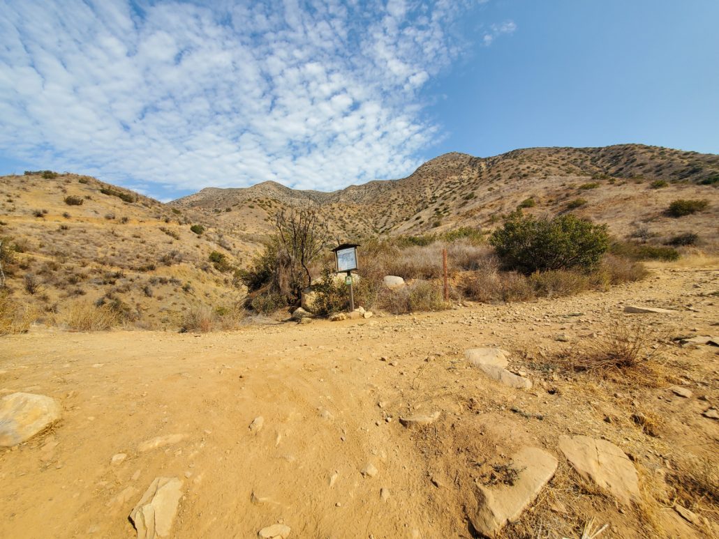
You’ll continue to steadily climb up this section as the rolling mountains come into view at the 0.8 mile mark. The trail splits again here, but you’ll find a very clear trail marker pointing you towards the northwest to continue up on your path. Taking the trail to your east heads towards, you guessed it, a private trail.
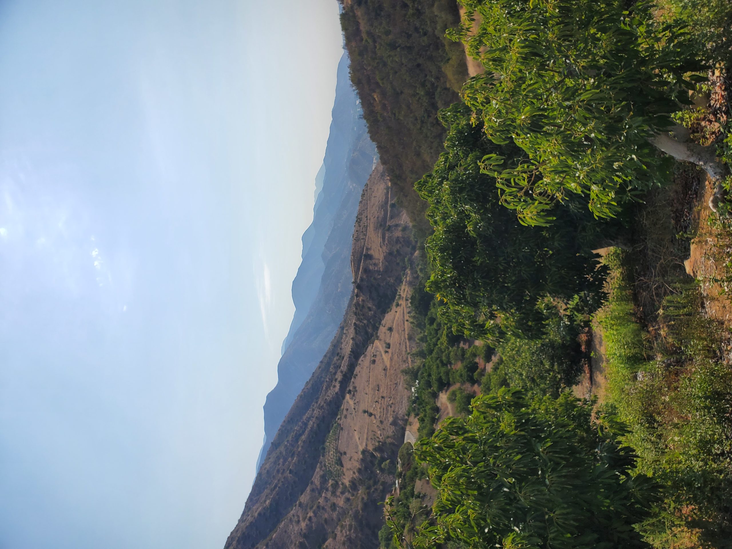
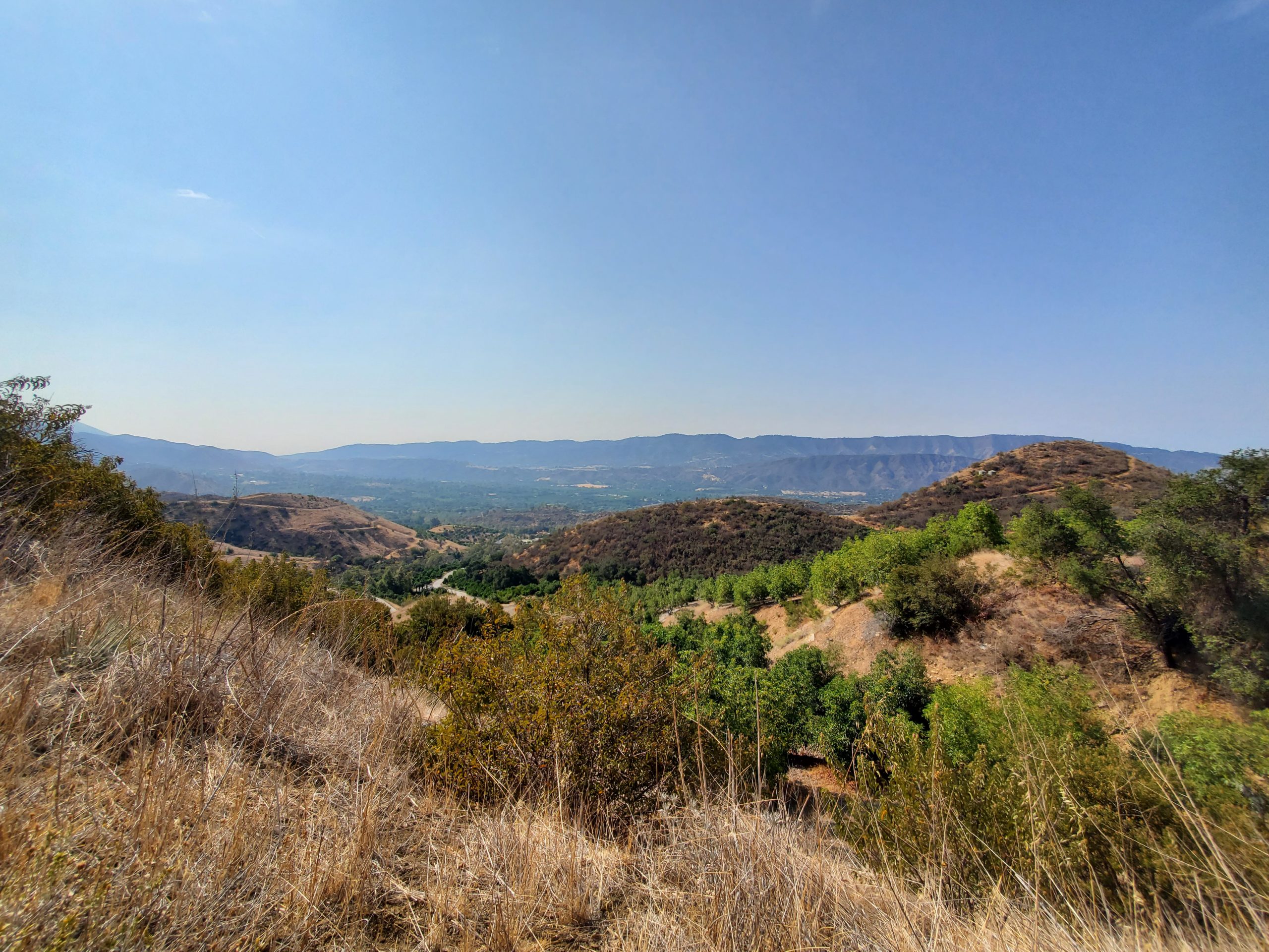
This is the first, but not last, section of the hike where you’ll be greeted by row upon row of avocado trees growing in an orchard near the trail. These trees usually bloom twice a year in early spring and mid/late summer, and a mature tree can produce more than a million flowers during one of these blooms. If you’re lucky, you’ll see actual avocados on some of the trees that will one day become your chips & guac or avocado toast.

Please note there are very strict laws about taking avocados from the trees, as some do hang near the trail even though they’re all on private property.
You’ll continue the next 0.7 miles with your new avocado friends as you head through the orchards, still at a very mild and consistent incline. This section has the most greenery throughout the hike, so take a moment to enjoy the contrasting green foliage against the rolling dirt mountains surrounding you.

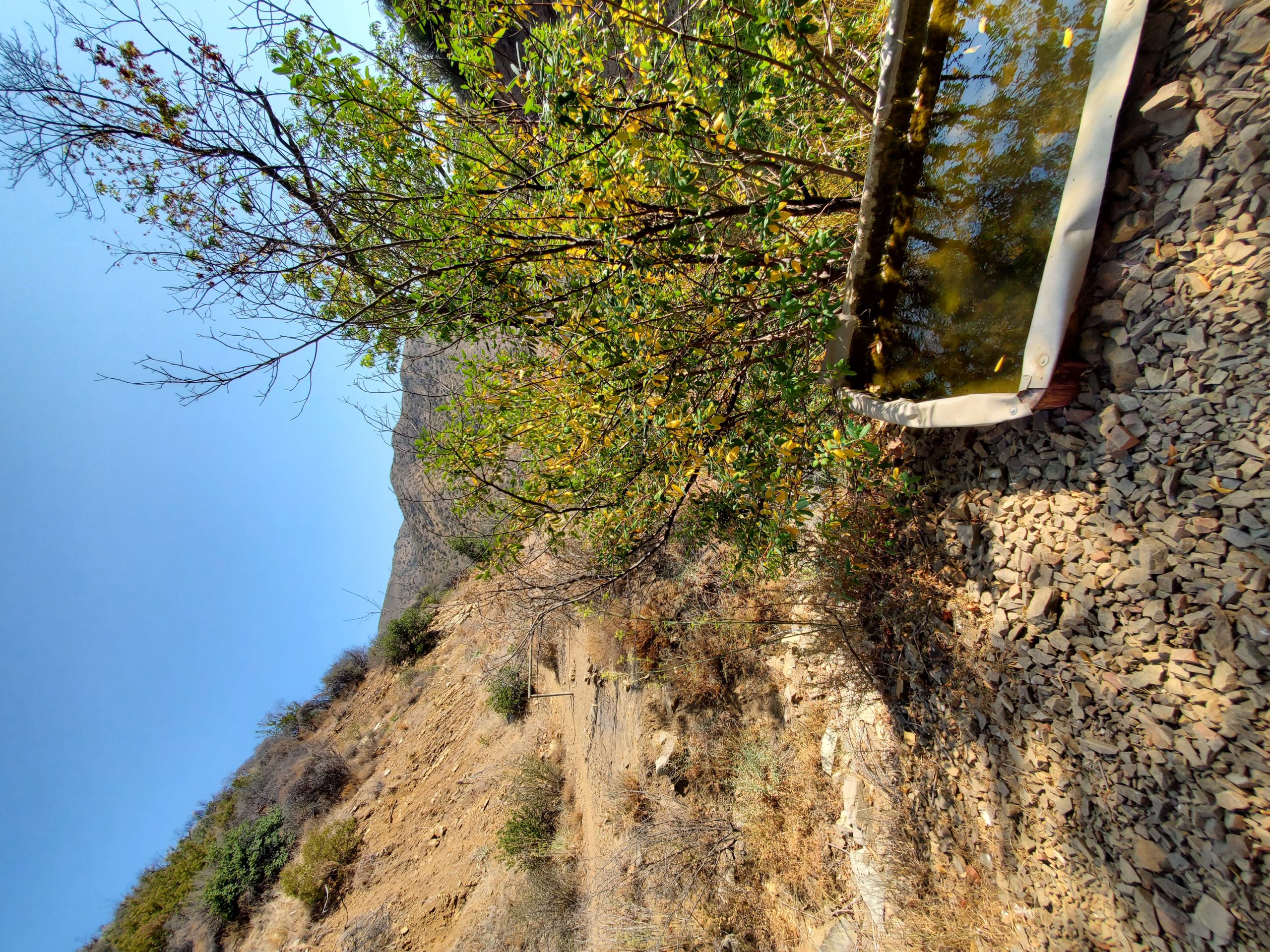
At 1.5 miles, you may find a small creek crossing depending on the season, which is easy to pass if there. The next mile or so is a gentle 500 ft of elevation as you make your way through more avocado trees, mountain vistas, and dirt roads (luckily no more private roads).
You’ll then make a push towards Gridley Spring at 2.8 miles, where you’ll be greeted with a horse trough and hitching rail. While this was once a bustling trail camp, these are the last two relics that remain after the area was burned from the Wheeler Fire in 1985. The area has since healed, and the trees and vegetation have fully grown back. This fire was believed to be started by an arsonist in Wheeler Gorge, although no arrests were ever made.

This section makes for a great place to catch some much needed shade, and enjoy a drink or snack before the next part of the hike kicks it up a gear with some slightly steeper incline.
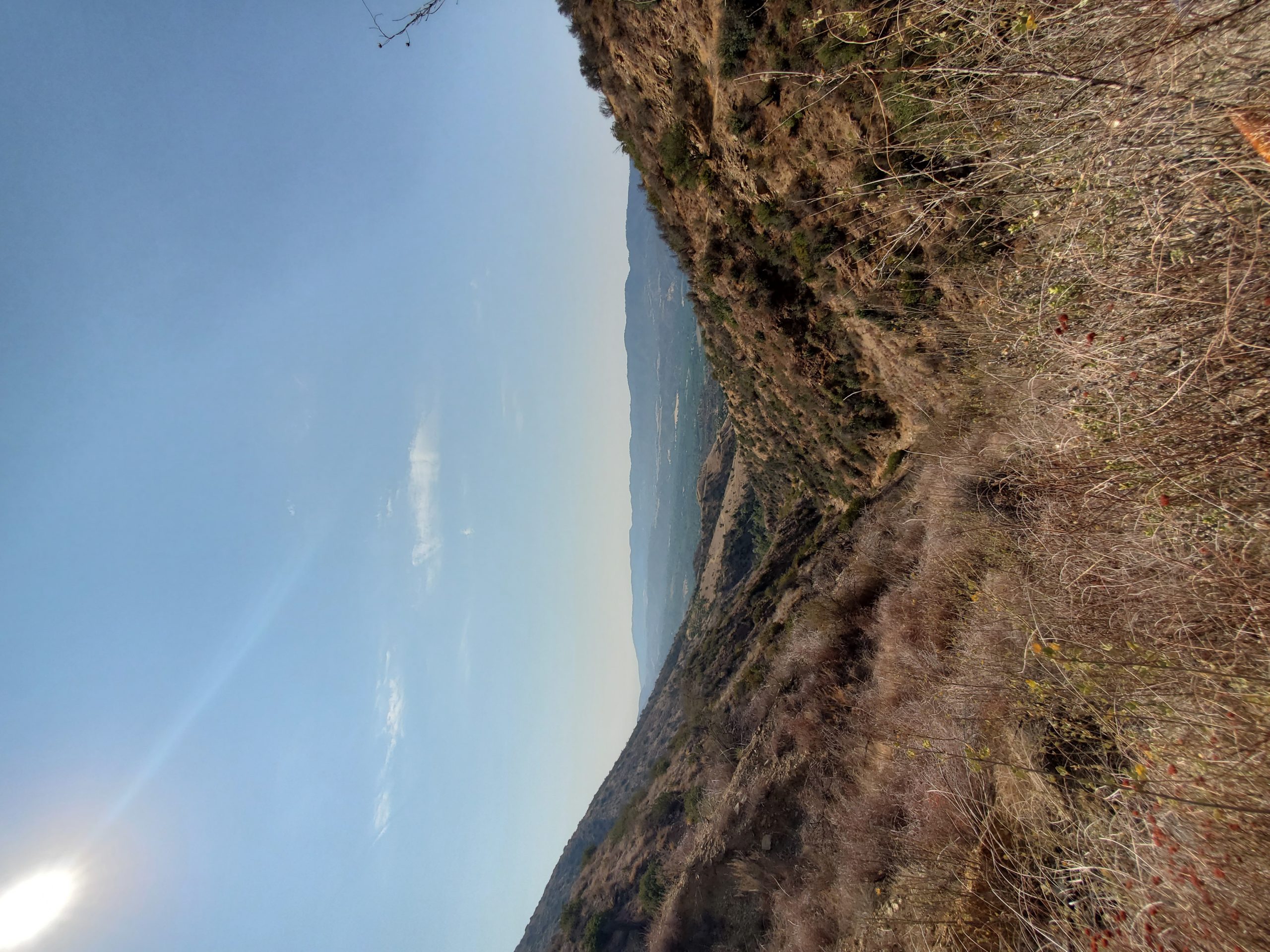
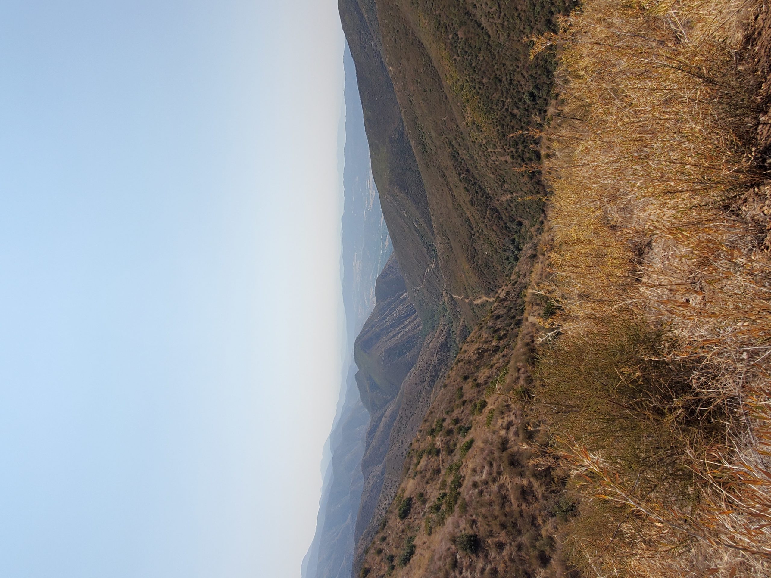
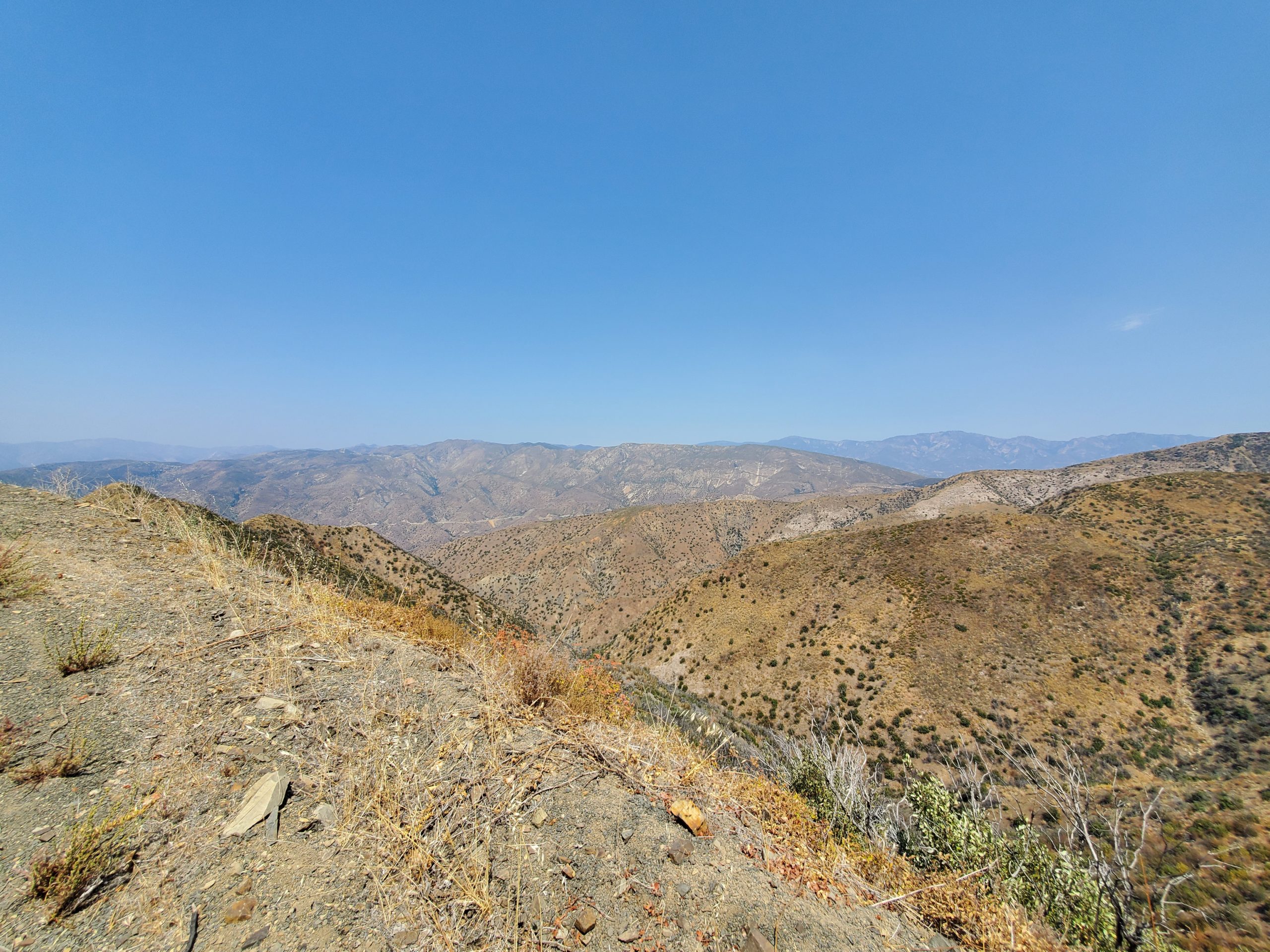
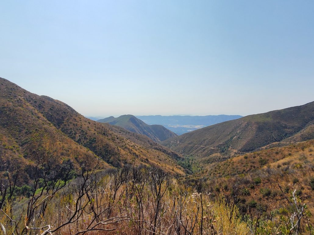
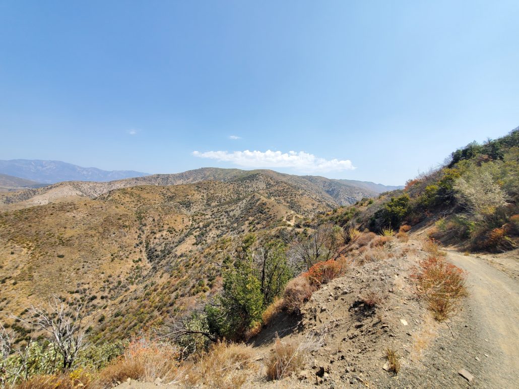
While the majority of the remaining hike will be at a steeper elevation than before, you’ve also reached the section with the most expansive views over the surrounding Los Padres National Forest area. If you need to take a break at any point during this next section, there is no shortage of amazing views to enjoy.
This whole section to the top is also the most likely place you’ll run into mountain bikers, so keep your eyes peeled. Although hikers technically have the right of way, it is often easier for you to step to the side of the trail and let them pass.
As you begin up the switchbacks, you’ll catch your first glimpse of the lookout tower that sits at the top of Nordhoff Peak. Although we won’t be headed there on this hike, you can optionally extend our hike another 1.5 miles (each way) to visit the peak.

At 3.5 miles, you’ll face a rapid succession of switchbacks to quickly climb 500 ft of elevation over 0.7 miles. If you’re new to longer distances or steep inclines, take plenty of breaks during this section and marvel at your surrounding view as the ocean may just start to become visible on a clear day. If you’re looking to take on the challenge, continue up this section with minimal stops.
Fortunately or unfortunately, the booty burn workout doesn’t stop here, and you’ll continue climbing up around the mountain. While the hike has increased it’s difficulty here, the ocean will continue to become more clear, and you’ll catch glimpses of Lake Casitas in the distance to your south.

At 4.8 miles, you’ve reached the final test before easing into the finish. The next 0.7 miles are equally steep to the switchbacks you just faced, but a flat and easy trail is waiting for you at the end of this. Channel your favorite motivational song, or find a space of zen, as you crush the 8 switchbacks up 400 ft of elevation gain.
The last 0.5 mile of this hike will remind you of the earlier sections, but the views will have you quickly forgetting how tired or sore you may be. As you climb up the final steps to Nordhoff Ridge Road, you’ll be greeted with an almost 360 degree view. Lake Casitas will be seen to your southwest, Nordhoff Peak to your northwest, and more of the Los Padres National Forest to your north.

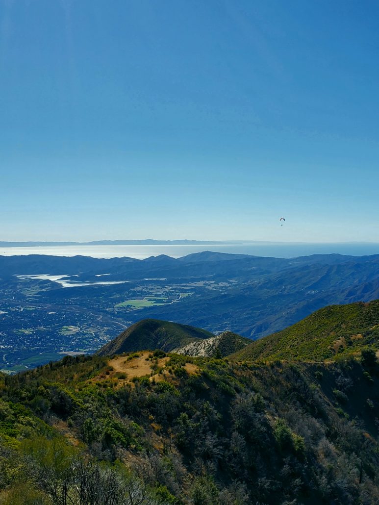
If you still have some gas left in the tank, you can take the trail to your northwest ~1.5 miles to get to Nordhoff Peak, where you’ll get an even clearer view of the Pacific Ocean and nearby Channel Islands. The GPX and map of this route include that extra add-on, so just keep followin’ on!
If you’ve had your fill, take your time to enjoy your accomplishment and catch your breath before heading back down the Gridley Trail towards your car.
Tags: Gridley Trail, Los Padres National Forest, Nordhoff Peak, ojai