An easy drive from points in the East Bay, Redwood Regional Park contains hikes for all seasons, from shaded redwood groves to sunny trails with benches to rest and take in the view. The East Ridge/Phillips Loop trail is on the sunny side, and is a good choice if you’re short on time and want fresh air and a break from the crowds.
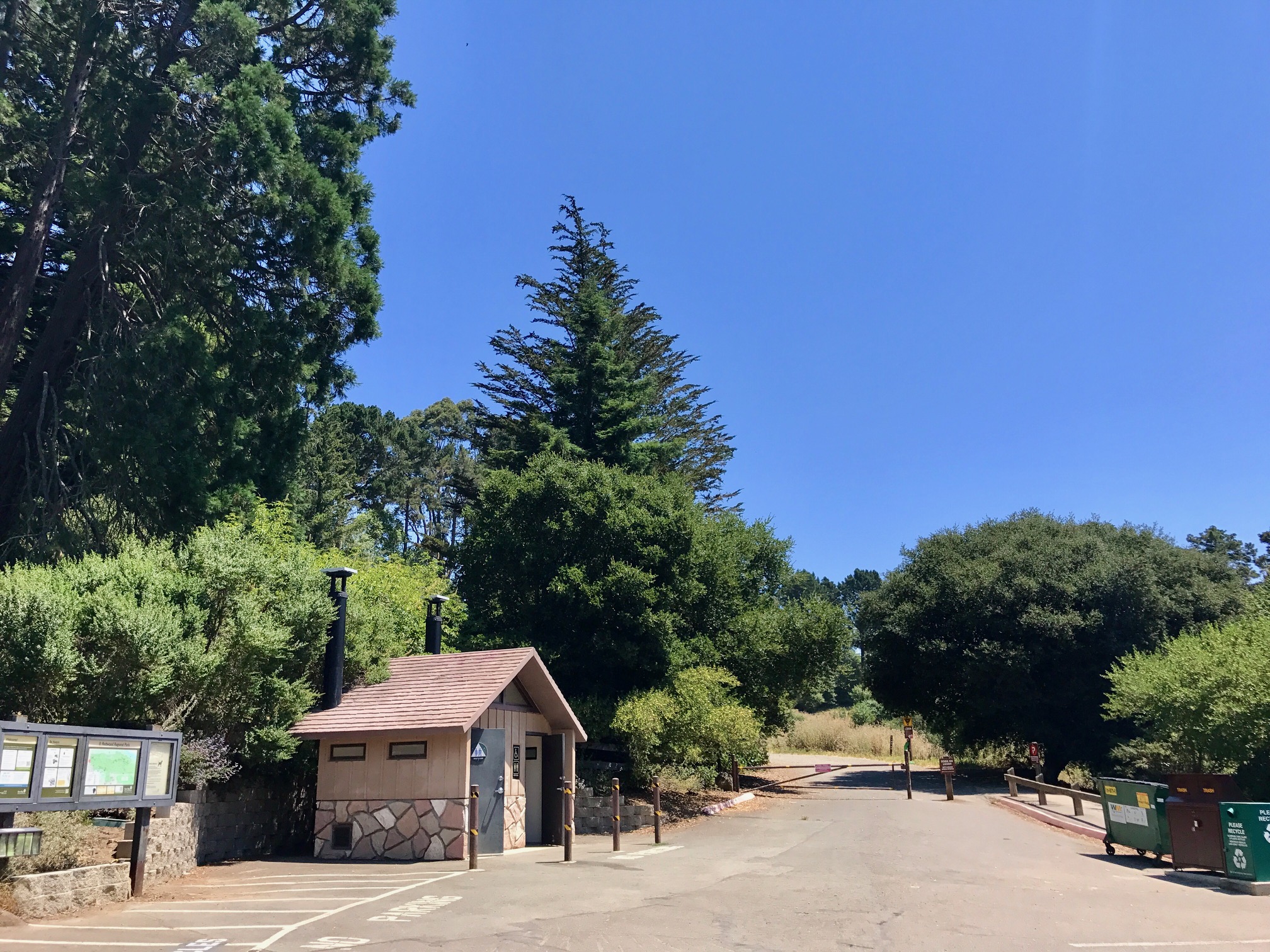
The entire East Bay Regional Park District is a fantastic resource for Bay Area residents and visitors alike, providing access to hundreds of miles of hiking trails, many of them dog-friendly. Redwood Regional is one of my regular go-to’s when I need an hour in nature – I typically access the park via the Skyline Gate Staging area, though there are numerous other trailheads worth exploring.
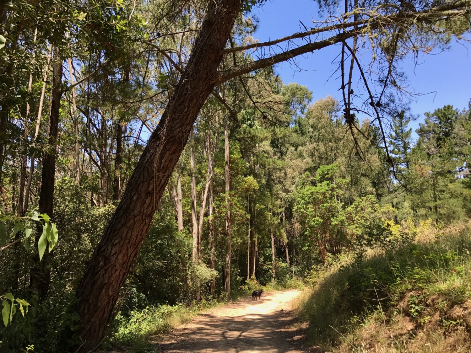
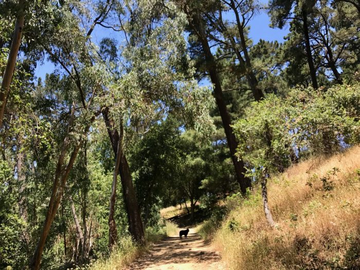
From the parking lot, this easy loop hike begins at the East Ridge trailhead. Dog owners: after ~200 ft, you’ll notice a sign indicating it is now permissible to have your dog off-leash, under voice control.

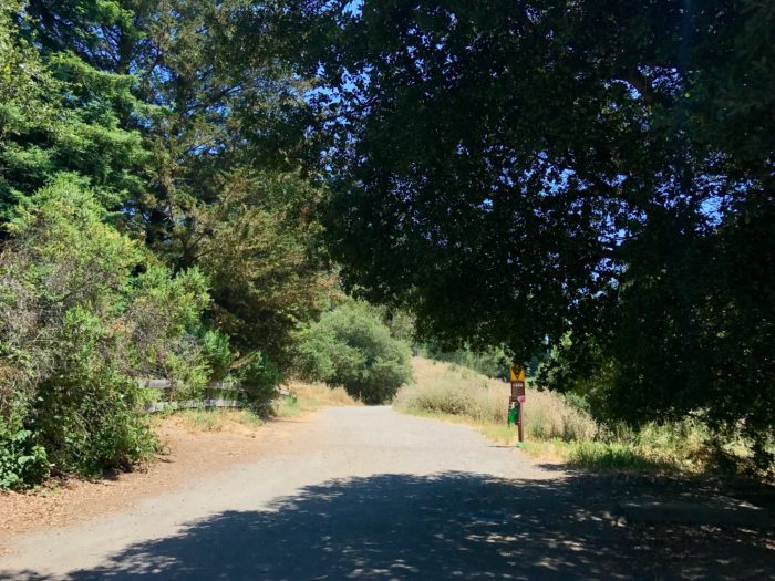
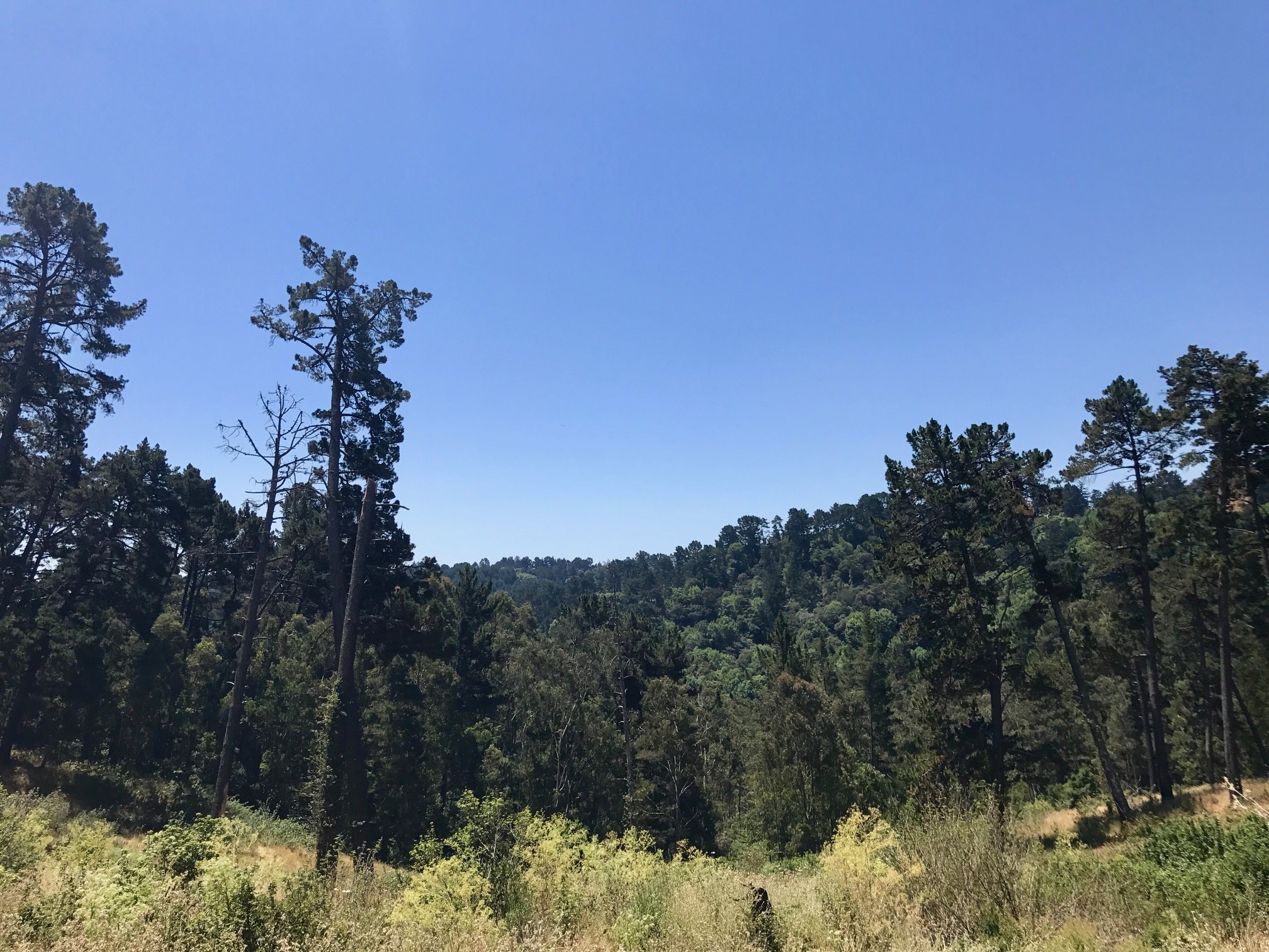
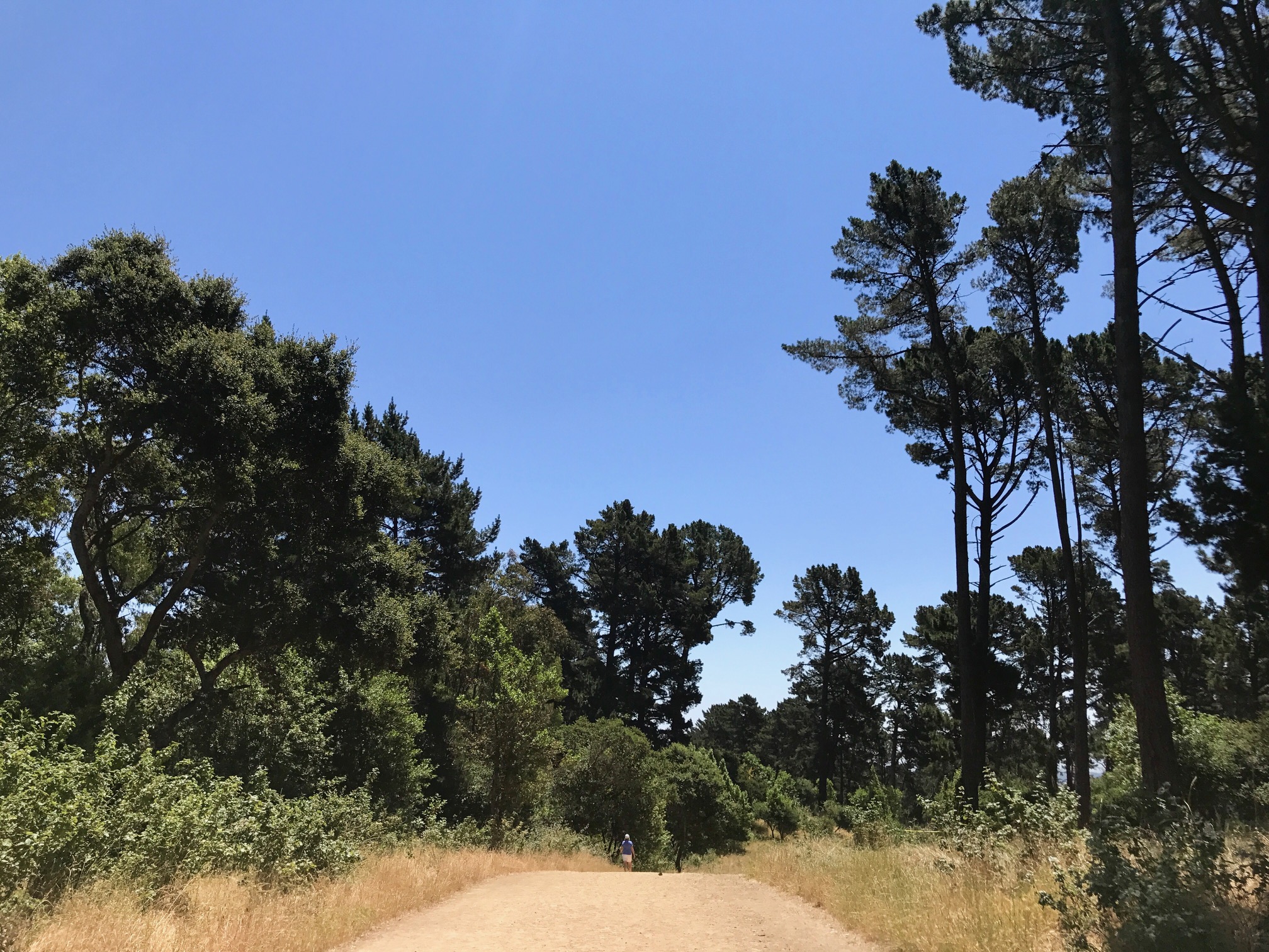
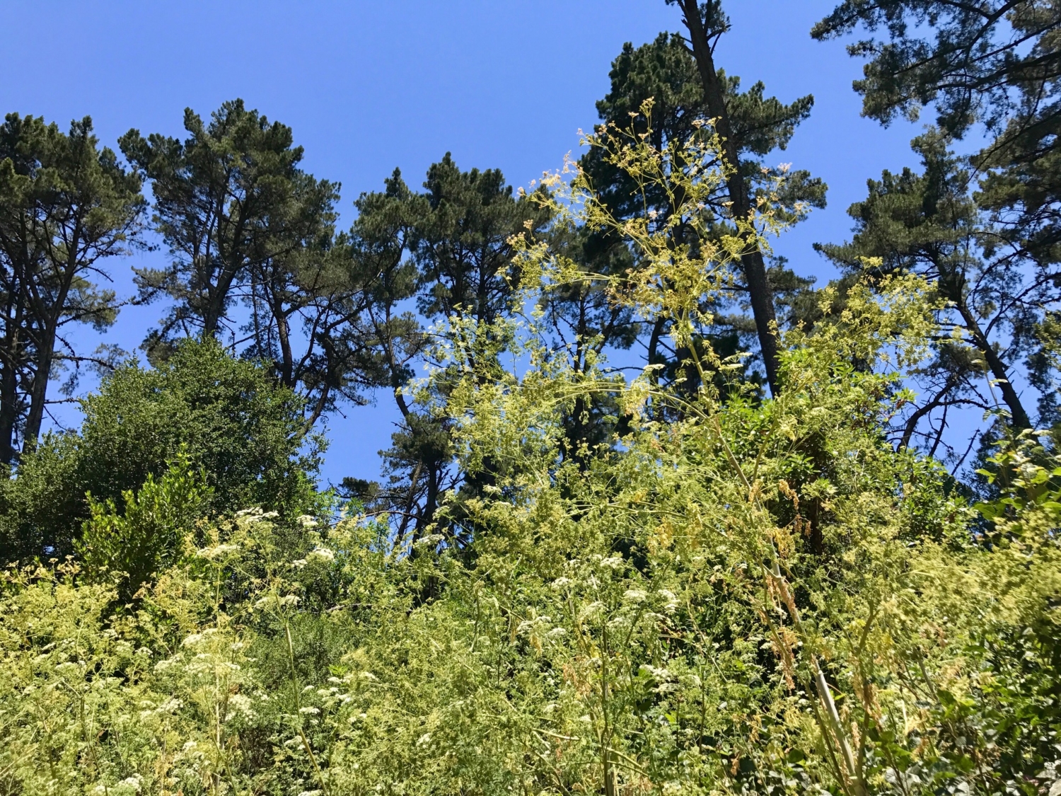
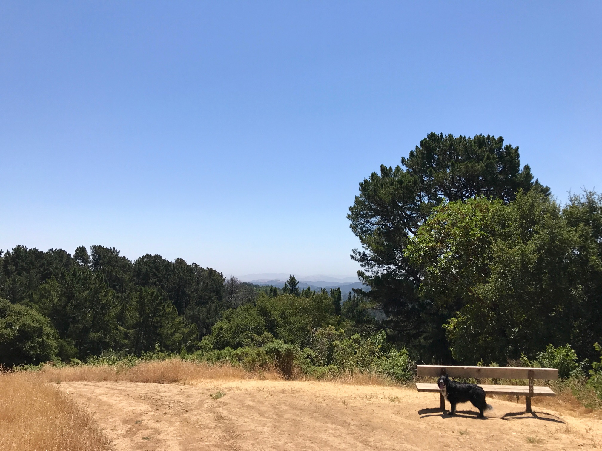
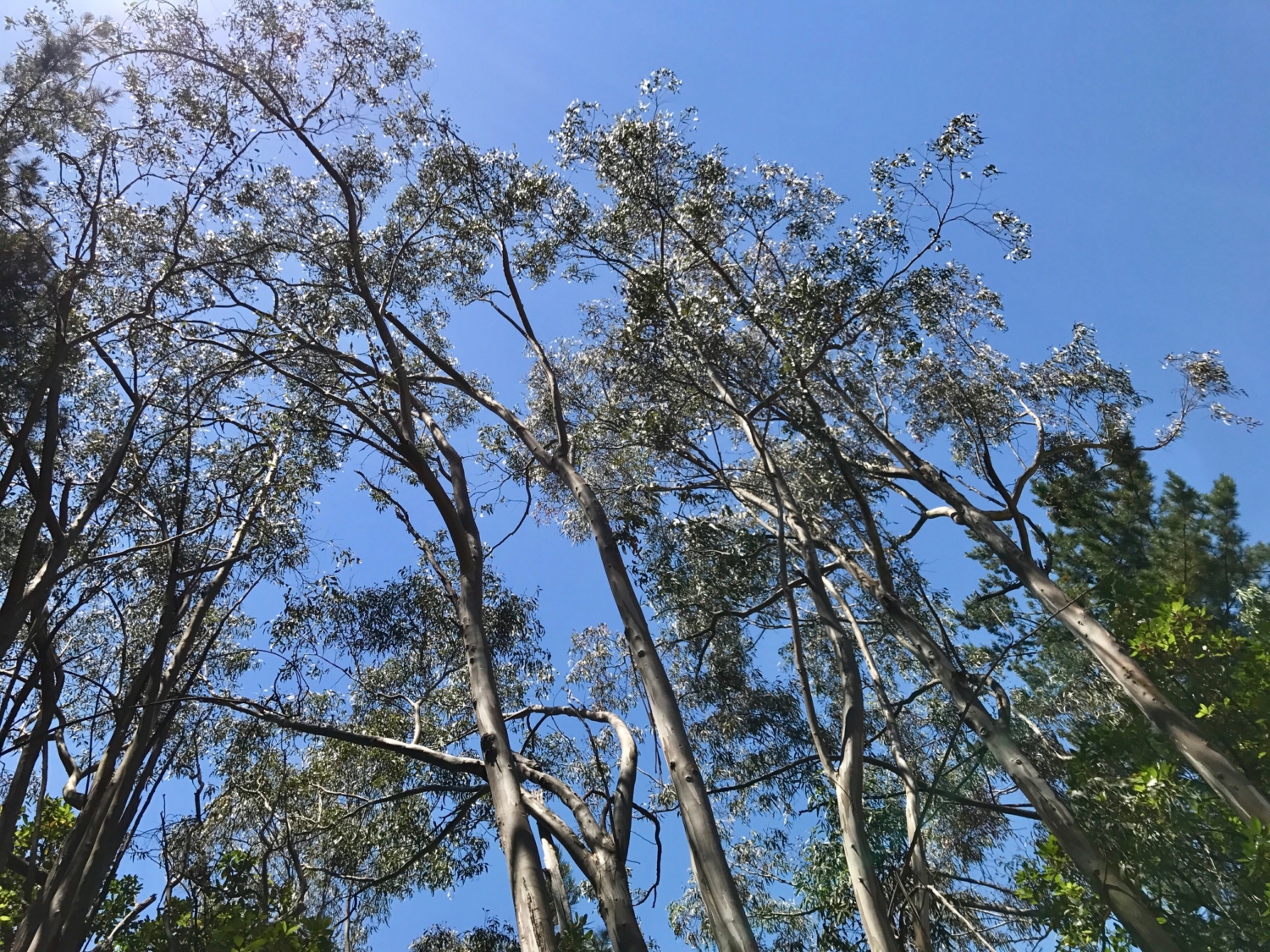
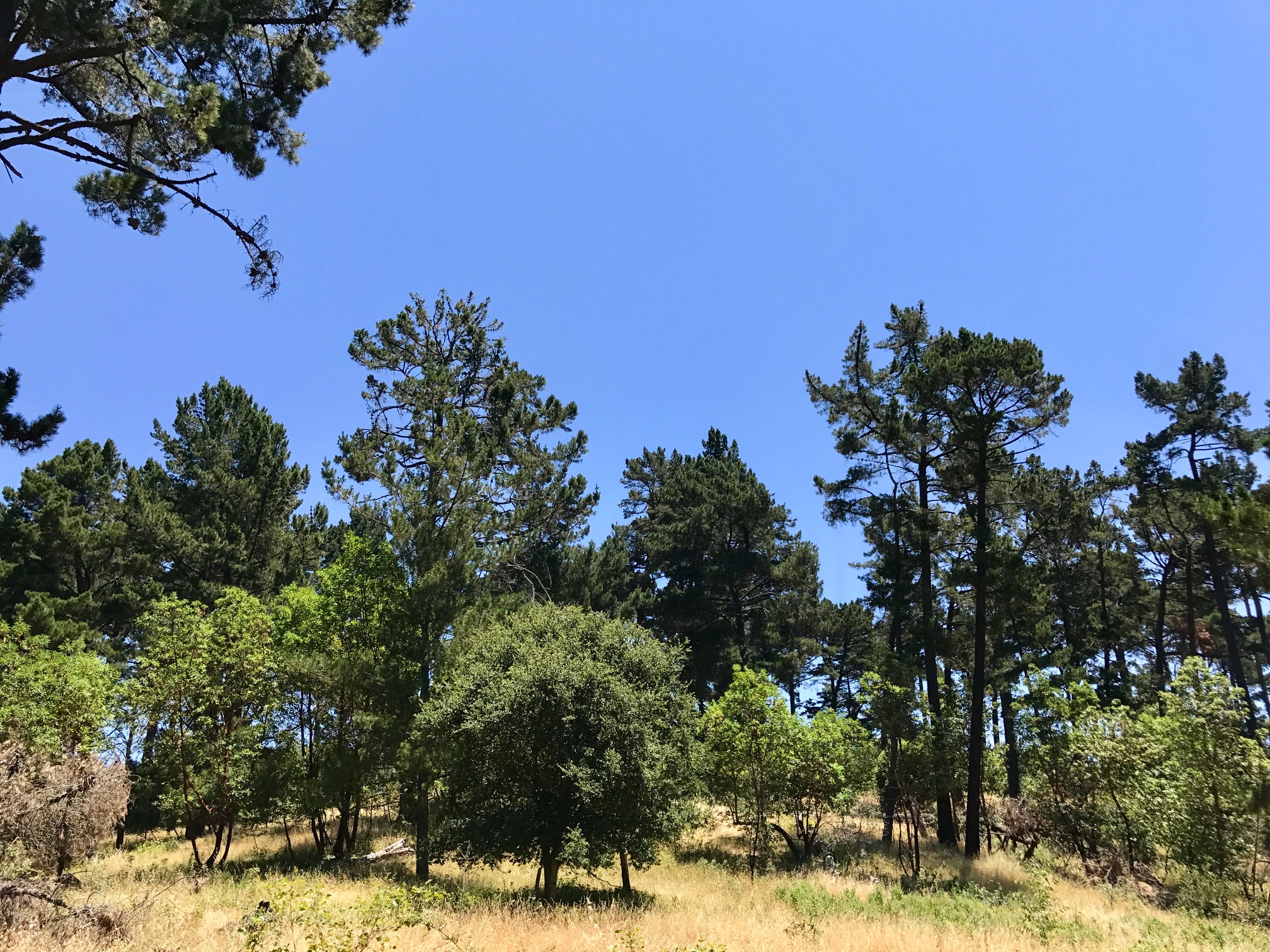
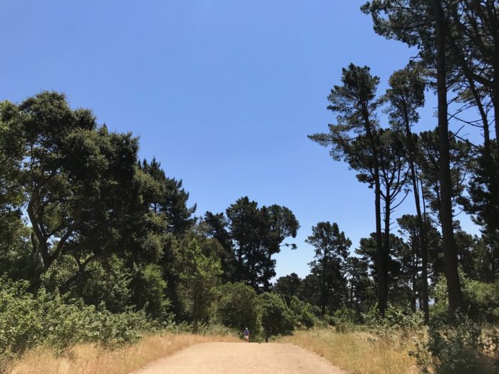
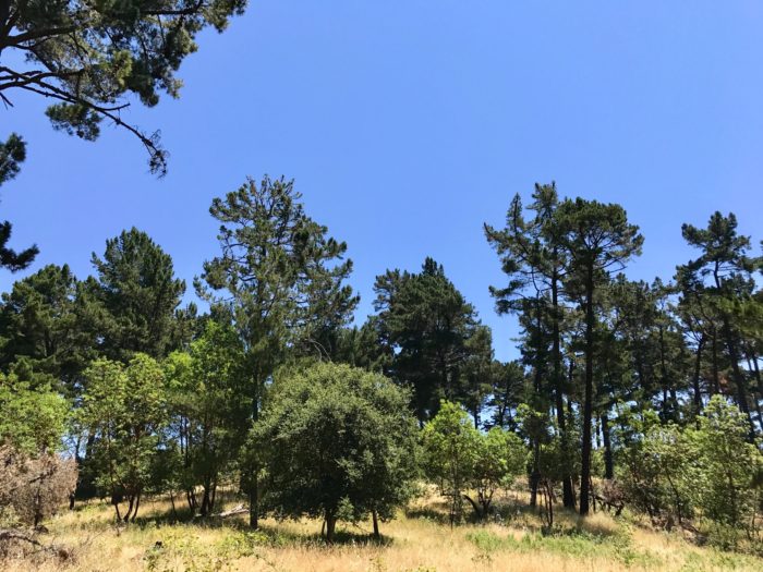
As you walk out along East Ridge, to your right will be Redwood Creek ravine (accessed via the Stream Trail, whose trailhead is also at Skyline Gate). Though flanked by tall pines and thick vegetation, East Ridge Trail itself is wide and enjoys plenty of sun. Keep an eye out for benches and viewpoints – on a clear day, you can see Mount Diablo in the distance.

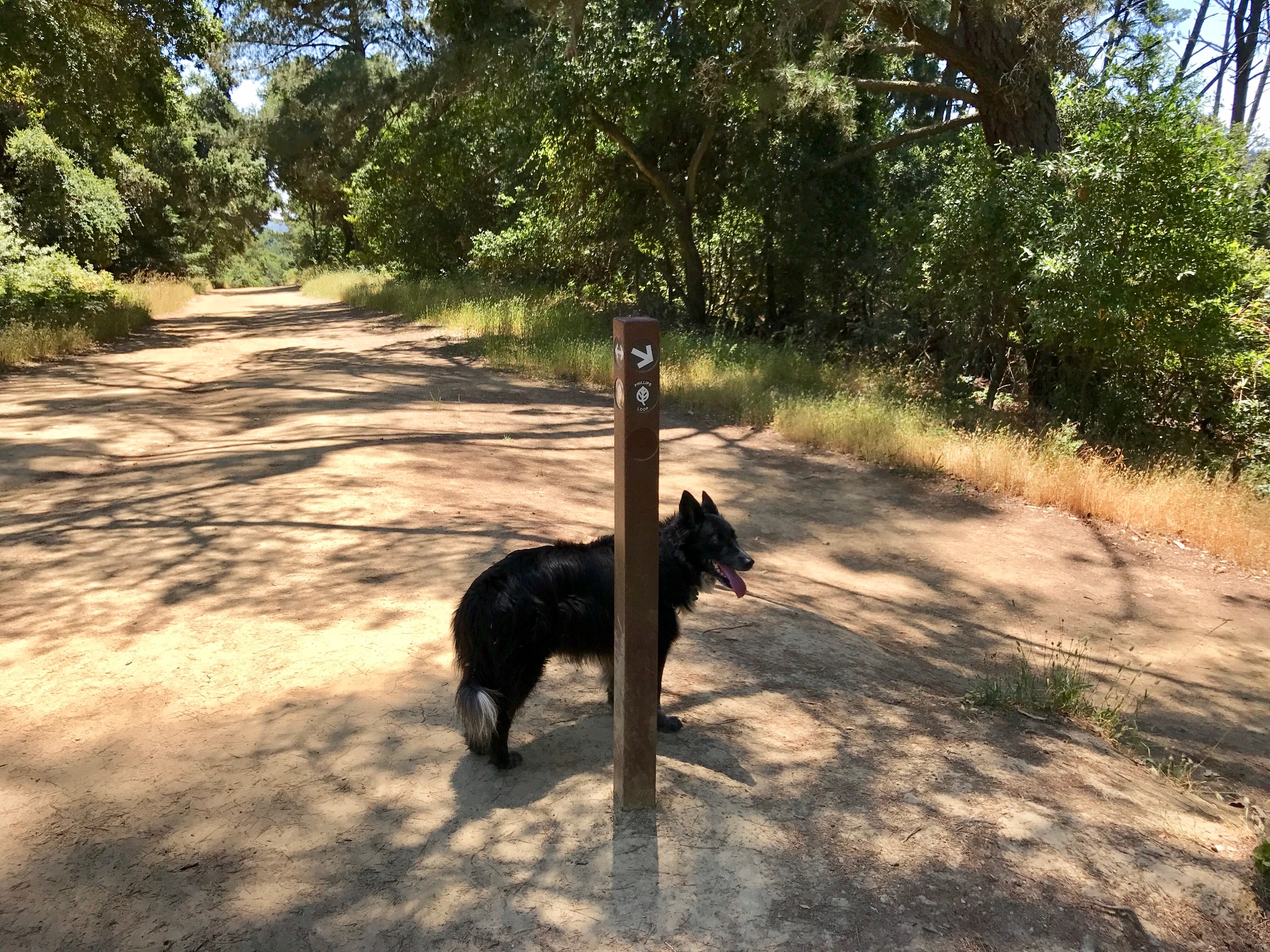
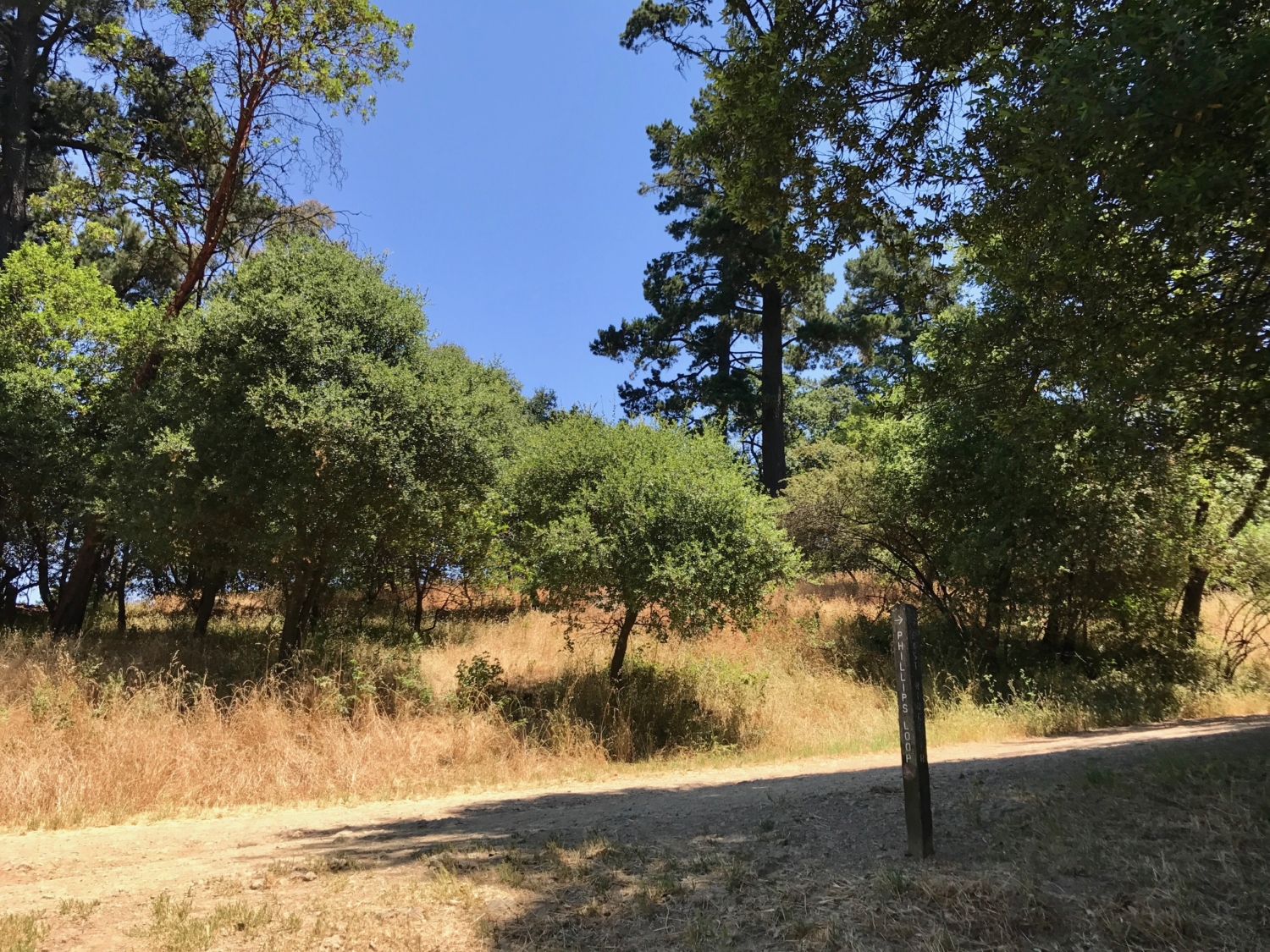
Phillips Loop departs from the right hand (downhill) side of the East Ridge trail at two points and can be hiked in either direction. The first entrance is about a quarter mile along East Ridge; the second is about 0.75 mile further.
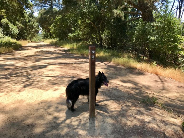
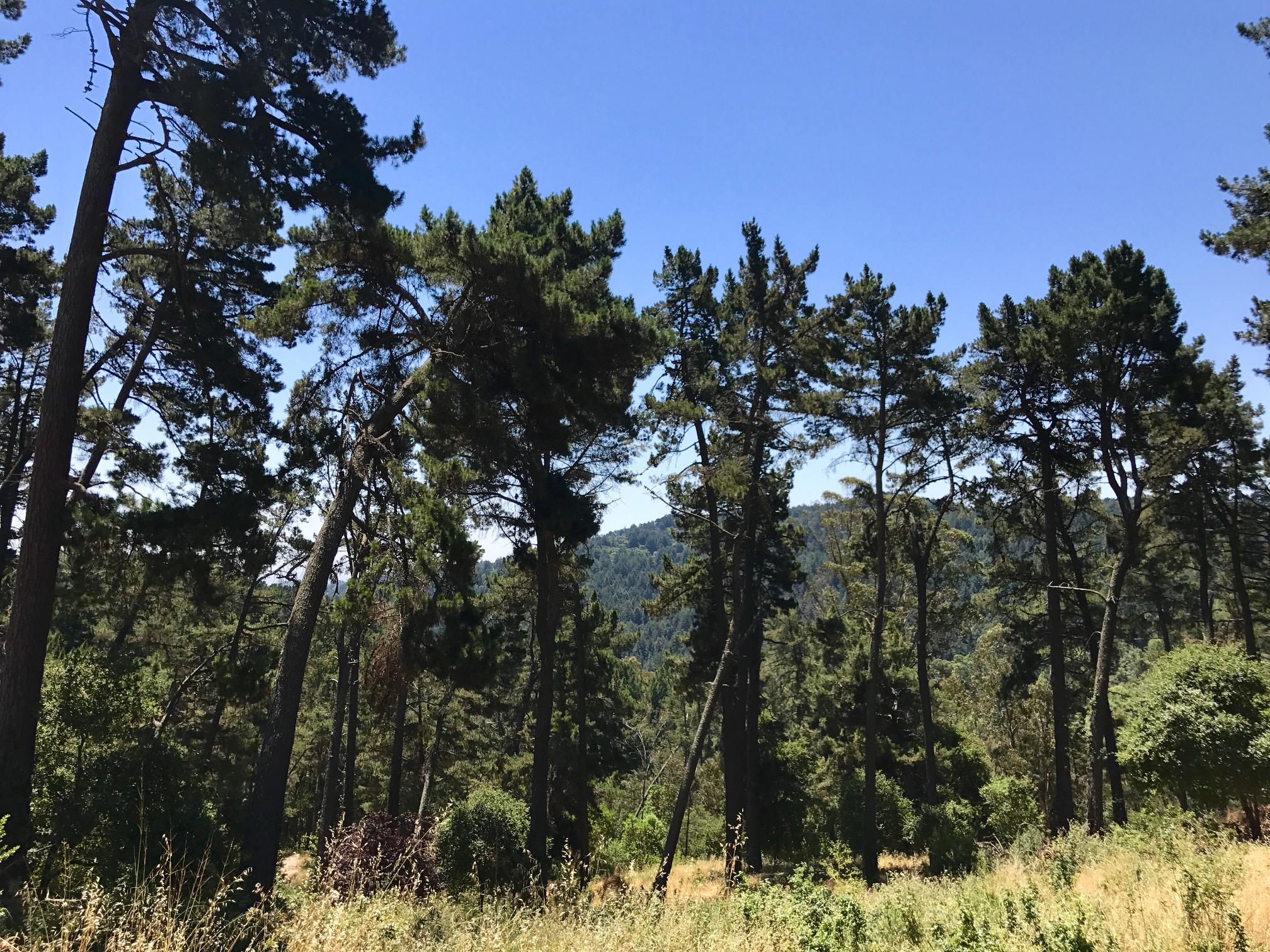
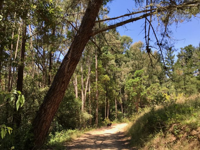
Though East Ridge is quite popular, the Phillips Loop trail is much less trafficked – depending on the day, you might have the whole thing to yourself. Slightly narrower than many of the other nearby trails, it has rolling ups and downs and passes through eucalyptus groves. Along the way, you’ll come to a junction with the Eucalyptus Trail, which connects the East Ridge and Stream Trails. Continue straight.

After about a mile, the trail will rise to meet up again with East Ridge, at which point you’ll turn left and hike back the way you came (about a quarter mile, to the parking lot).

Tags: alameda county, bay area, california, east bay, east bay regional park district, oakland, redwood regional park, san francisco