Don’t let the name fool you. The last five-plus miles of the Dosewallips River Road haven’t seen a car for nearly 20 years. Now a hiker/biker trail, the old road provides lots of opportunities to consider the folly of even trying to build a road here. Along the way, hikers get a good look at miles of old-growth forests, snow-frosted peaks, and one of the deepest river canyons on the Olympic Peninsula.
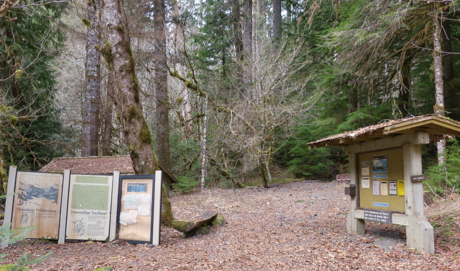
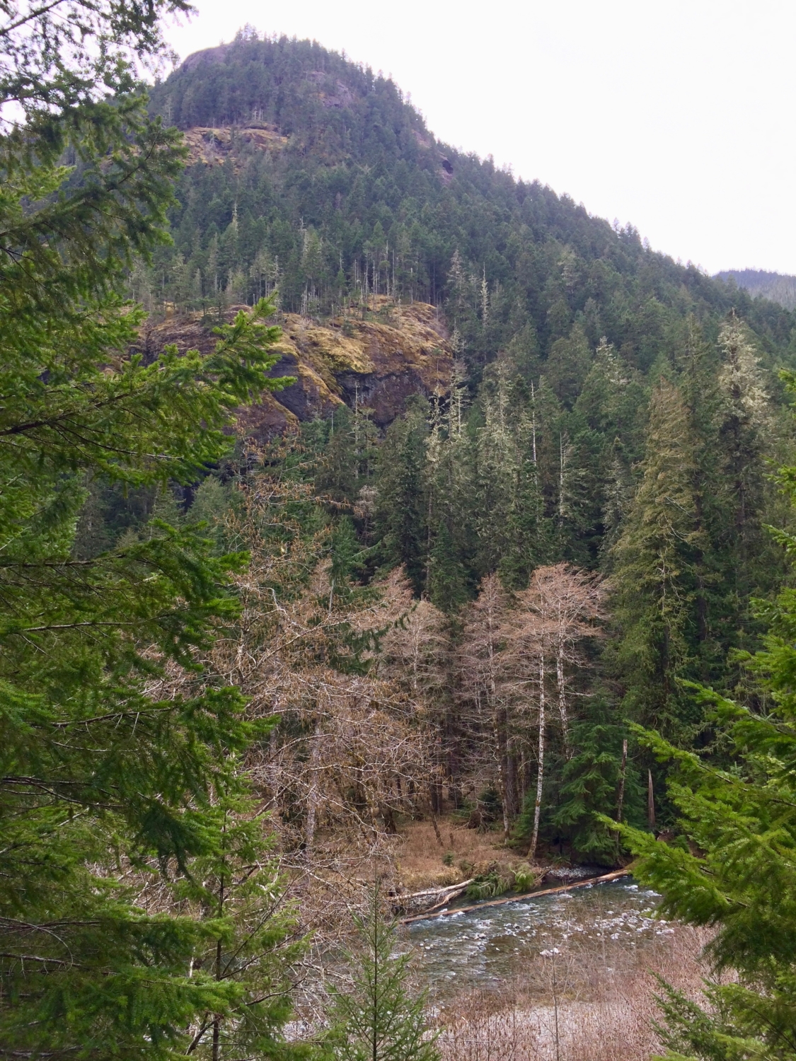
Park at the trailhead, leaving room for other cars in the small parking area. Pass the “Road Closed” sign and start hiking. Almost immediately, cross a small creekbed. In rainy weather you may have to pick your way across running water. At 0.4 mile, pass the Tunnel Creek trailhead. The Dosewallips (pronounced “doh see WALL ips”) River is audible and occasionally visible through the trees on your left, and the top of 5,700-foot Mount Jupiter makes an appearance as well. In another 0.75 mile, the trail abruptly ends in a 300-foot-wide washout created when record floods destroyed the road in 2002. Get a good look at the washout before taking the detour trail up into the forest, climbing about 100 feet.


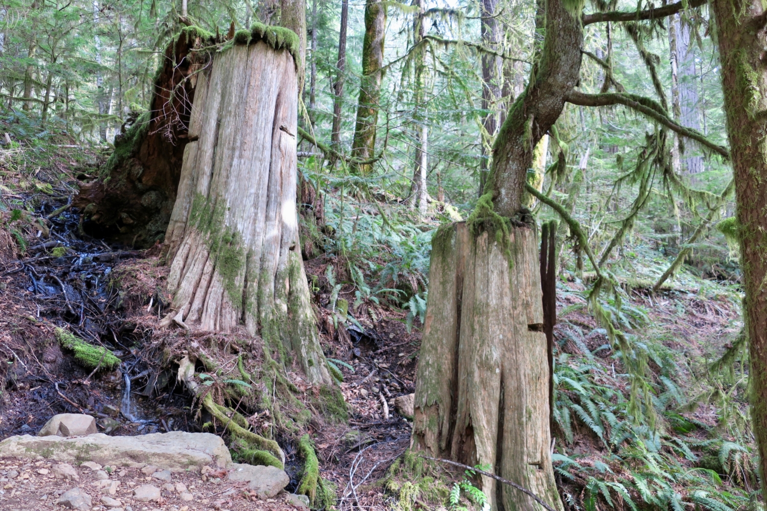
As you ascend, keep an eye out for two large stumps with horizontal gashes in their trunks. These relics of logging’s glory days in the Pacific Northwest are springboard notches. Before the advent of chainsaws and mechanized logging, tree fallers scored slots into the trunks of big trees, then inserted planks on which they stood to cut the tree down at a smaller trunk diameter. Some stumps show several levels of springboard notches. Think about balancing on a narrow plank while wielding an axe or one end of a double-handled saw, and it’s clear why logging was notoriously dangerous and difficult work.


The washout detour is a short 0.3 mile, and after a few switchbacks, you’ll regain the main trail. Almost immediately you’ll come to a wilderness register for backcountry camping. Continue on the trail. For the next half-mile, the trail closely parallels the Dosewallips River, offering plenty of peekaboo views as you hike through the forest. Just up the slope to your right (north) is the Buckhorn Wilderness, and across the river is the Brothers Wilderness. The boundaries of these protected areas creep as close as 150 feet to this road-turned-trail.

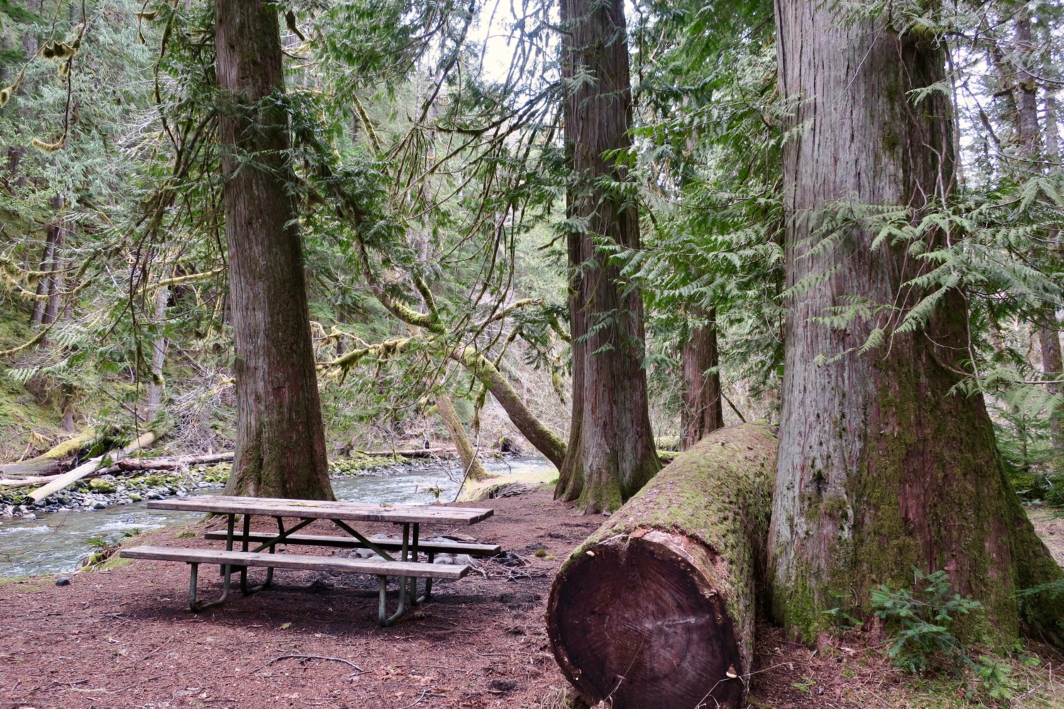
At 2.2 miles, look right for pretty Stony Brook Falls, and 0.1 further on, arrive at a well-signed junction. To the left is what remains of the Forest Service’s Elkhorn Campground, once reachable by car. Just off the trail to the left is a former campsite with picnic table and excellent river view — a perfect rest stop. For a shorter, 4.6-mile round-trip hike, turn around here. To the right, the Dosewallips River Road trail continues another 4.1 miles to your destination, Dosewallips Campground and the wilderness trailheads there. At this point, the grade steepens ever so slightly and the river canyon begins to narrow. As you hike through the tunnel of trees, enjoy views of the ridges high above the trail and listen for wrens and warblers singing in the canopy.


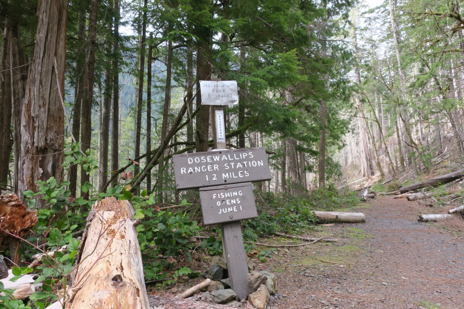
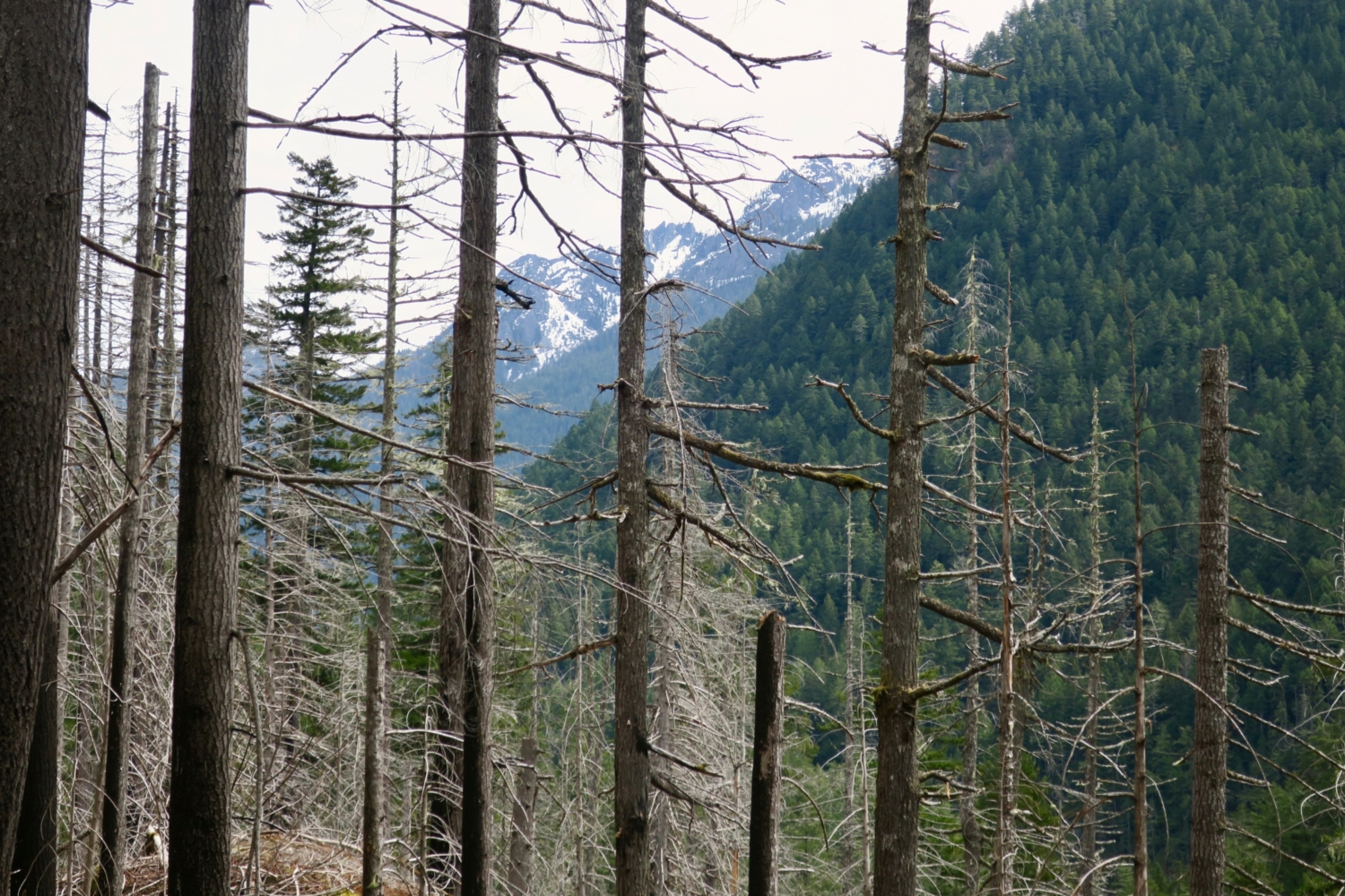
A little over two miles from the campground junction, arrive at the signed boundary of Olympic National Park. As you enter the park, pass through a large burned-over area. The lightning-ignited Constance Fire burned about 450 acres here in July 2009. Much of the fire raged on 75-degree slopes, creating perilous conditions for firefighters. Within a one-month period that year, lightning started four large fires in the area that fire managers labeled the Heatwave Complex. Ultimately, more than 1,600 acres burned before October rains finally extinguished the blazes. The burn area extends for about a half-mile of the trail, and forced the rerouting of the lower portion of the Lake Constance Trail, a steep scramble up Constance Creek that gains more than 3,000 feet in about two miles. Look for flags and the trailhead sign just after a small waterfall at Constance Creek, about a quarter-mile past the park boundary.

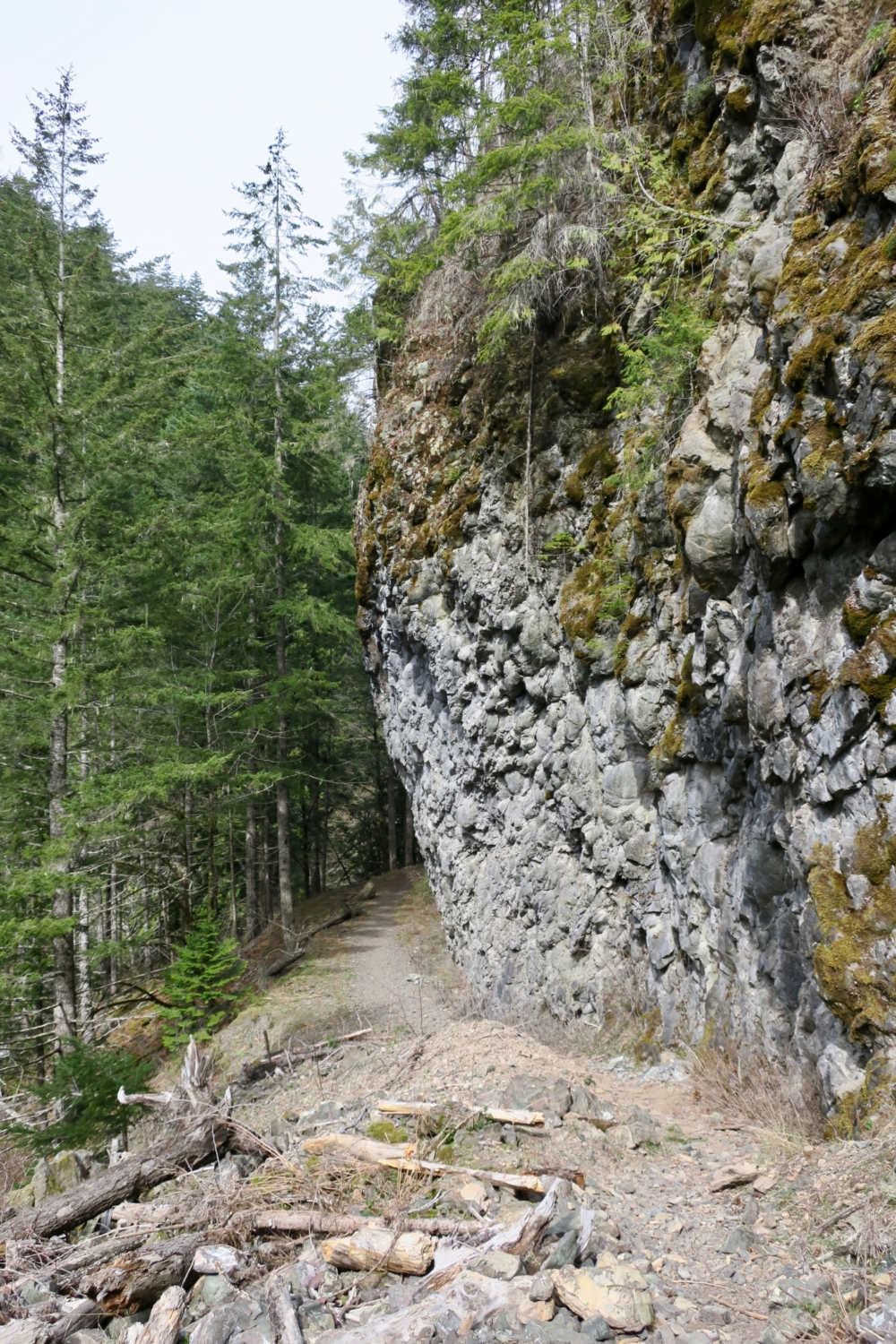
The burn area affords some views across the river canyon and up the slopes. If the precipitous slopes don’t make you question the wisdom of having put a road here, the rock outcroppings hanging overhead probably will. Continue until you reach lovely Dosewallips Falls, 5.3 miles from the trailhead. This is an excellent sit-snack-and-stare spot, where the constricted river canyon forces water through a narrow chasm littered with giant tree snags that look like toothpicks tossed by the rushing river onto the rocks.

Continue up the road past a now-ironic traffic sign that warns, “Do Not Stop Vehicle on Steep Grade.” This is perhaps the best place to consider the wisdom of building the Dosewallips River Road in the first place. The grade is indeed steep, and old gabions, metal cages filled with rocks to provide stability in roadbuilding, hang precariously over the edge as you climb. The road was originally constructed in the 1930s by the Civilian Conservation Corps as part of an effort to build a road across the mountains. Thankfully, the creation of Olympic National Park in 1938 put paid to that notion and the roadwork stopped. Today, debate on whether to rebuild at least part of the road continues. The Park Service has said it has no intention of rebuilding its portion, while the Forest Service would like to rebuild to Elkhorn Campground. Given the agency’s lack of funding, it seems unlikely the road will ever be rebuilt. Still, relics like milepost and warning signs remain, now sometimes hidden by the understory growth reclaiming the road.


The trail levels out quickly, providing views upriver to Mount Constance and the interior of the Olympic Mountains. In another mile, arrive at the Dosewallips Campground, noticing the speed limit sign at the entrance. Don’t exceed 10 mph! This was the end of the original road and the start of several trails leading deeper into the Olympics. As you wander through the beautiful old-growth Western redcedars, Douglas-firs, and hemlocks, look for elk scat on the ground and Douglas squirrels in the trees. The small, dark brown squirrels, known as chickarees for their chirping vocalization, are native to the Pacific Northwest but have been displaced by Northern gray squirrels in many places. At 6.3 miles, the road ends at the Dosewallips Ranger Station, which looks like something took a bite out of the front corner of the roof, probably a tree during a winter storm. Old signage about the wilderness trails beyond is fading on the kiosks. Backpackers planning to continue on can register here. Bikes and dogs are prohibited beyond this point.


The campground makes a good turnaround point for this longish day hike or overnight stop for backpackers. Hikers who want a little more can continue another half-mile and return on the nature trail loop. Back at the campground, be sure to spend some time by the river, which swirls through along a wide stretch. Imagine this campground full of cars, with tents set up among the giant trees. Since the road washed out, it’s much quieter, though day hikers will likely see at least a few backpacking tents set up near the river.

Once you’ve had your fill, head back to the old road and hike the 6.3 miles back to your vehicle. The washout detour is about 4.75 miles from the campground. It can be hard to spot, so look for the wilderness register kiosk, then pink flags tied to branches and an old “Milepost 10” sign. Turn left onto the detour there and continue to the end of the trail.

Tags: dosewallips campground, dosewallips river, olympic national forest, olympic national park, stony brook falls


