For those who live or are visiting the North Phoenix area, the Deem Hills Recreation Area is a great place to visit. This park has it all: a dog park, a playground, a soccer field and, of course, hiking trails!
There are a variety of trails to choose from but to get to the highest elevation point, you’ll want to take this moderate 4 mile loop along the Circumference and Ridgeline trails.
Parking in the main west trailhead location, you’ll see the recreation area with kids and dogs playing along the flat grass in front of the mountain. From this vantage point, you might not think the hiking trails would offer that much of a scenic view. But as you begin hiking, you’ll see how this area opens up and offers more impressive vistas than you might expect.
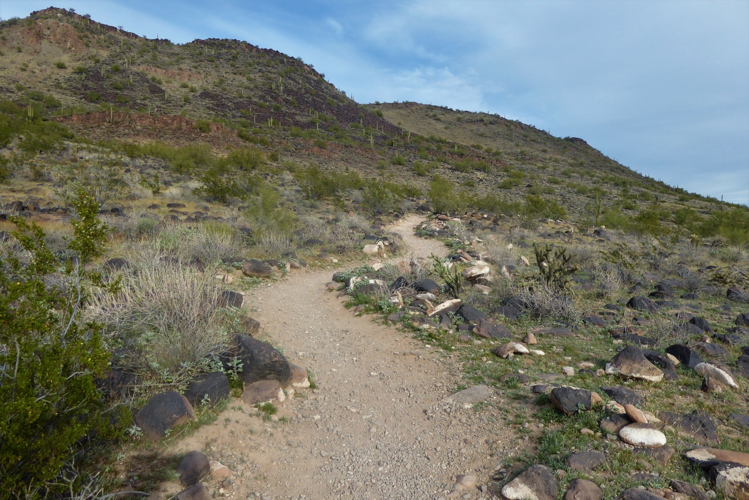
To begin, we are going to start on the Circumference Trail. This trail travels along the entire base of the mountain. Follow along the dirt road that is located to the right of the dog park. Shortly you will see trail signs directing you towards the Circumference Trail. For this guide, I decided to take the loop in a counter clockwise direction but you can go whichever way suits you.

As you begin, the trail will seem a bit desolate. There are bits of long yellow straw like grass emerging up between these black, volcanic ashy rocks that are spread throughout the area. The trail is wide, allowing enough space for two hikers to easily bypass one another. For the most part this section of the trail is easy. There are a few dips and a few ups as you chug along, but nothing that you’ll really have to work that hard for.
Although at around 0.7 mile this trail begins to turn inwards and it quickly transitions. The path veers up to a steeper section, which will start to get your heart pumping. It will only be for a short distance, before coming across the Ridgeline trail near 0.9 mile.

Inclined portion leading up to the Ridgeline Trail
Follow the signs to the left to remain on Ridgeline. From here you will see the path leading straight up to the top of the mountain.

Along this direct and inclined portion, you will be surrounded by a lot of vegetation and if the season is right … wildflowers. If you listen closely, you’ll hear the buzzing of bees and the scatter of lizards as they run away from your footsteps.
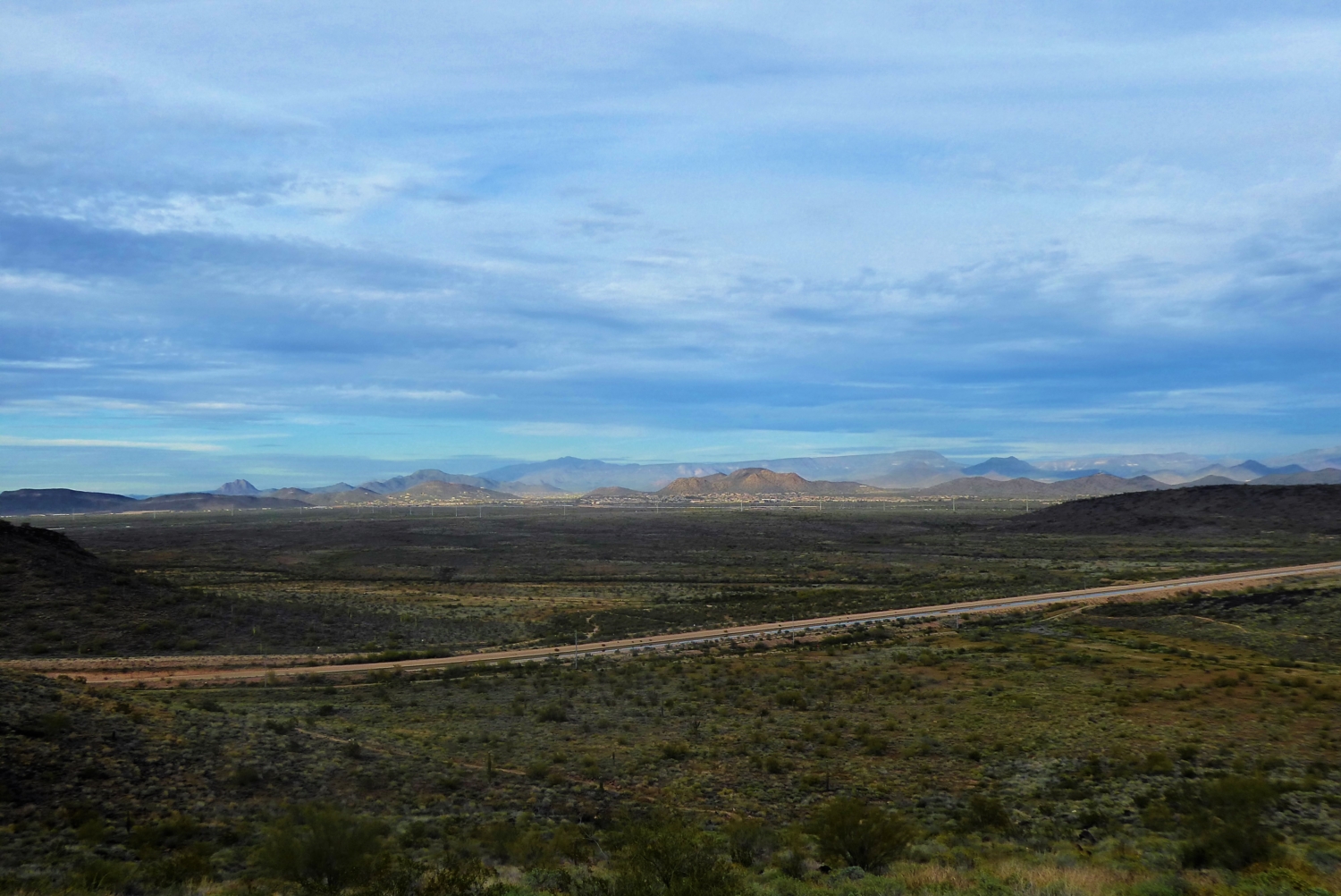
Once at the small summit section, you’ll be able to see a 360-degree view of the region. To the front you’ll see the city park and neighborhoods and behind you, you’ll see the rolling waves of the Phoenix Mountains, rolling out into an endless sea. It’s amazing to think all this open landscape is sitting behind a park, hiding from the city.

The front view, looking out over the neighborhoods

The backview, nothing but wilderness
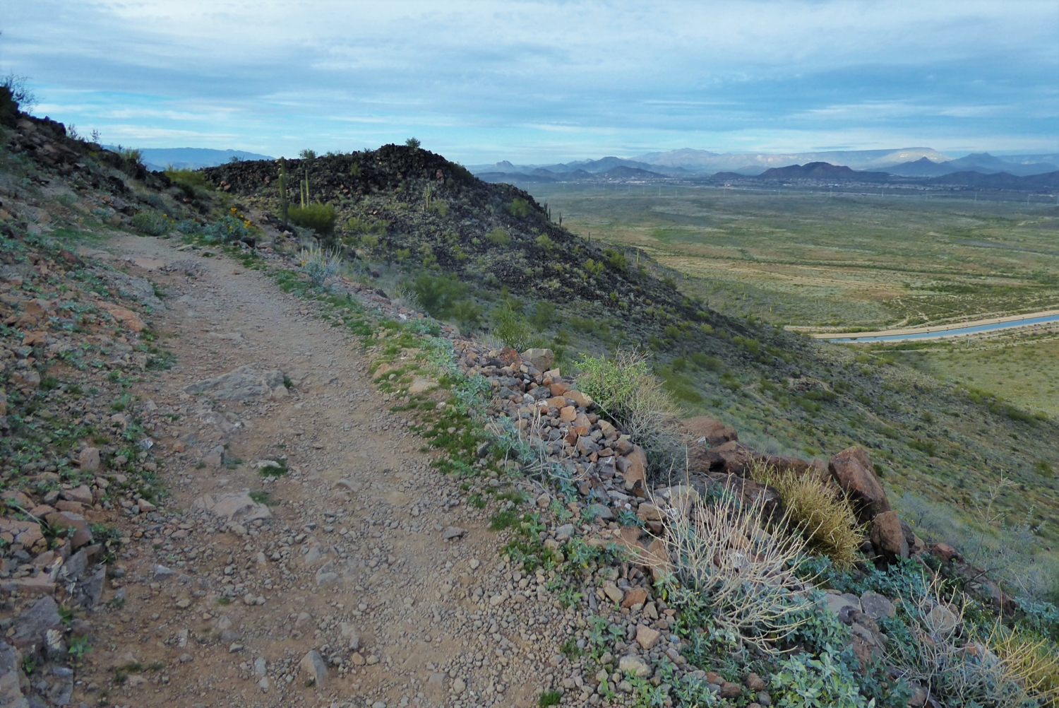
The actual ridgeline portion of the Ridgeline Trail is not long. In fact, some of the city view is actually hidden from sight along this portion.
As you are heading down there are switchbacks, instead of the previous direct route. This allows you to get a different view of the section that you just went up and makes it a little more fun to descend.

Once at the end of ridgeline there is a trail marker, although it does not indicate that you are meeting up with the Circumference Trail again. At this intersection, turn left. Soon, you will see a trail marker confirming that you are indeed, on the Circumference Trail.

End of Ridgeline Trail
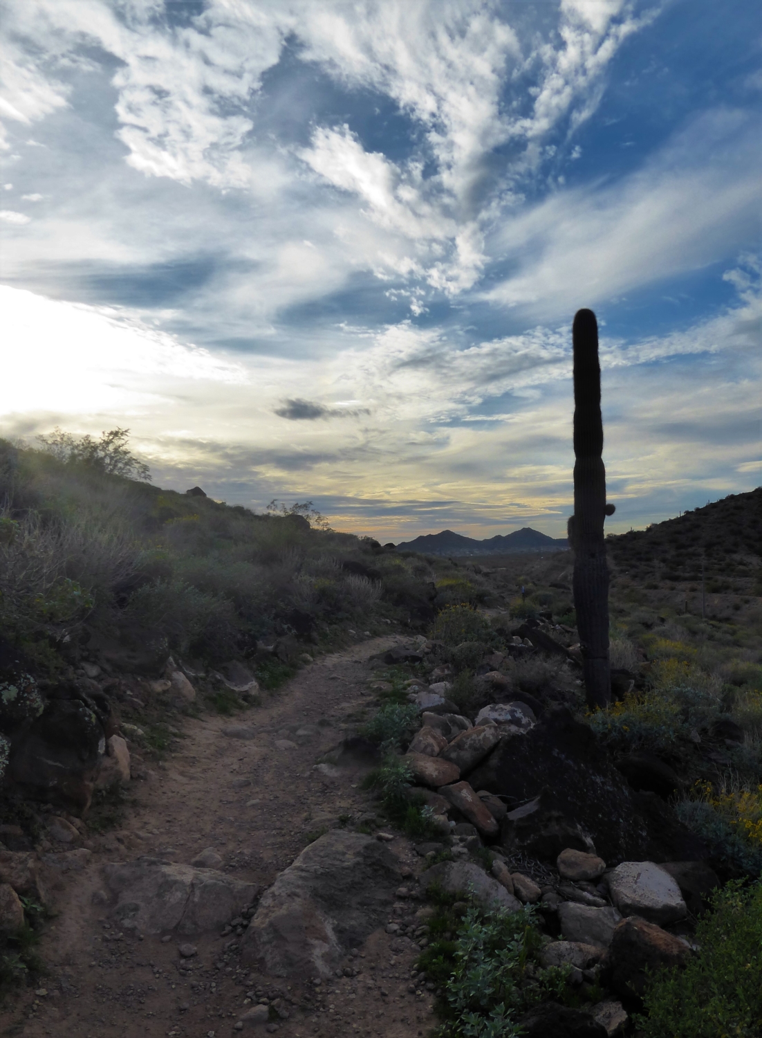
This eastern side of the trail has a more sandy feel to it and there are not so many volcanic rocks laying around. There also seem to be more mountain bikers along this side. As you follow along, the trail gradually descends and you will meet up again at the recreation parking area.

This area is popular but yet never feels crowded. It’s a great way little escape from the city, without actually leaving the city.


Tags: area, Arizona, deem, hike, Hiking, hills, moderate, North, Phoenix, Recreation, trail, writeup