Washington’s most-visited state park, Deception Pass can get really, really busy. Most traffic is concentrated around the iconic Deception Pass Bridge — a must-see for first-time visitors, but for those seeking a less-crowded hiking destination, the Deception Pass Headlands are the way to go. You can skip crossing the bridge altogether while enjoying quieter views from Lighthouse Point and Rosario Head on Fidalgo Island. Two forested bluff loops connected by a beach trail, the Deception Pass Headlands pack tons of scenery into a few short miles by the bay.
Lighthouse Point
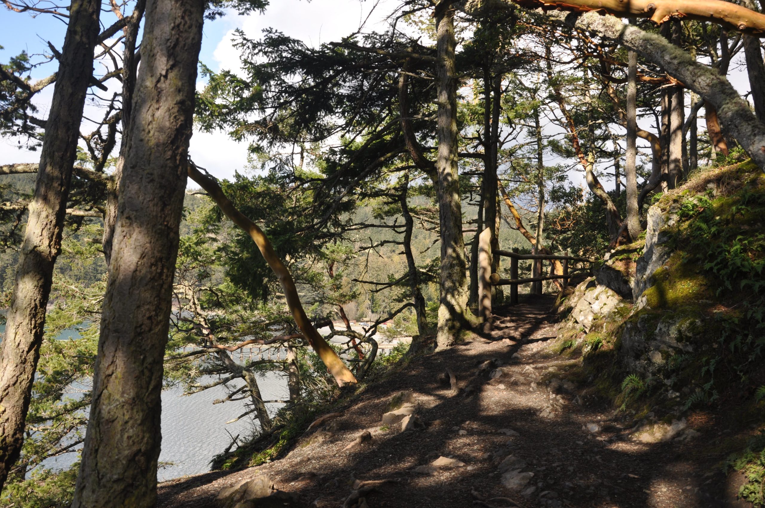
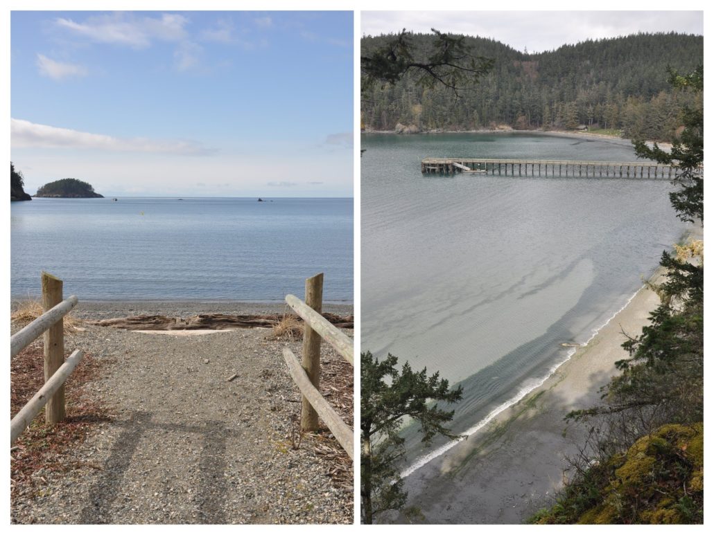
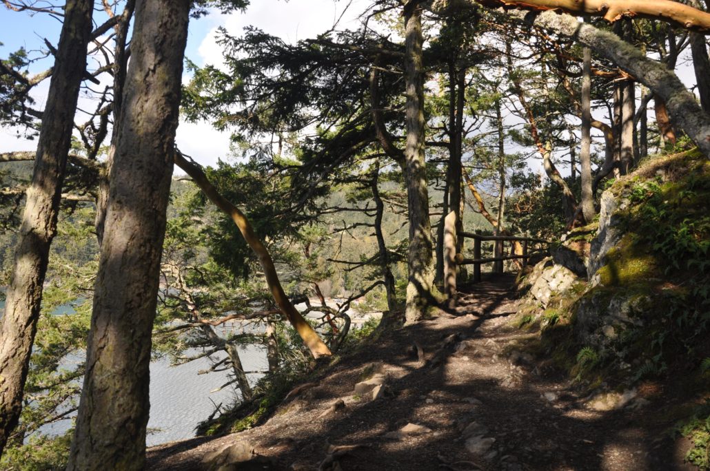
From the Bowman Bay boat launch, walk south along the beach trail. You’ll shortly reach a picturesque pier, closed since January 2020 due to “unsafe conditions”. Hopefully, the park will find funds to repair this weathered structure. Continuing south, the trail takes a left turn and begins to climb a short but steep, rocky bluff. After gaining just 50 feet the trail suddenly feels high above the bay, shaded by evergreen forest and madrona. If the tide is low (and you’re not feeling the climb), you can skirt around the base of this bluff along the beach.
From atop the bluff, follow the trail back down and reach a couple of signed junctions at 0.35 miles. Continue straight towards Lighthouse Point at the first junction. The next signed junction is for Lottie Point. Turning left for Lottie Point is an optional 0.5-mile loop excursion (not included in our mileage), offering good views of the Deception Pass Bridge. Hang a right to cross the tombolo (a strip of land connecting an island to another island or the mainland) and re-enter the forest.
At 0.6 miles, reach the Lighthouse Point loop junction. Head left, dropping back down to the beach and a view of Deception Pass through sea stacks.
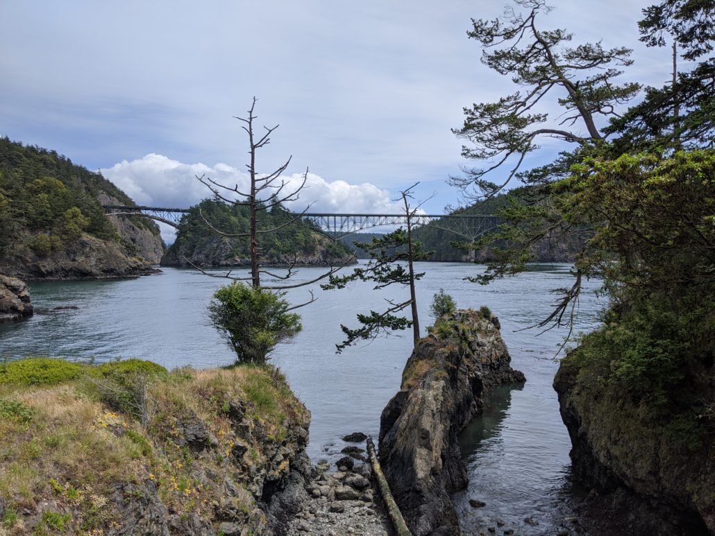
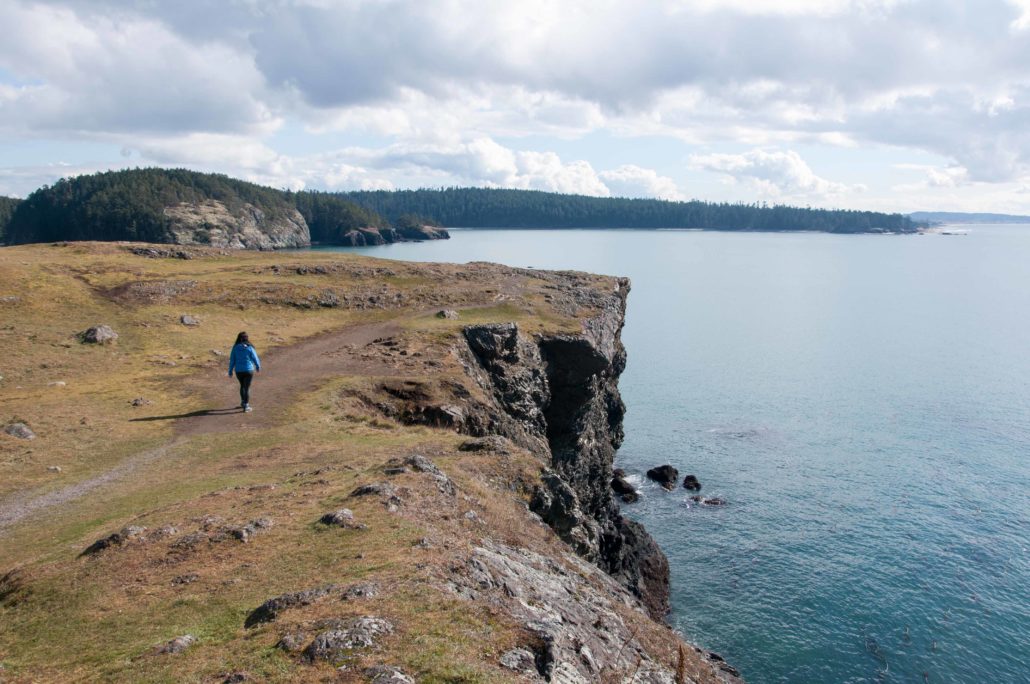
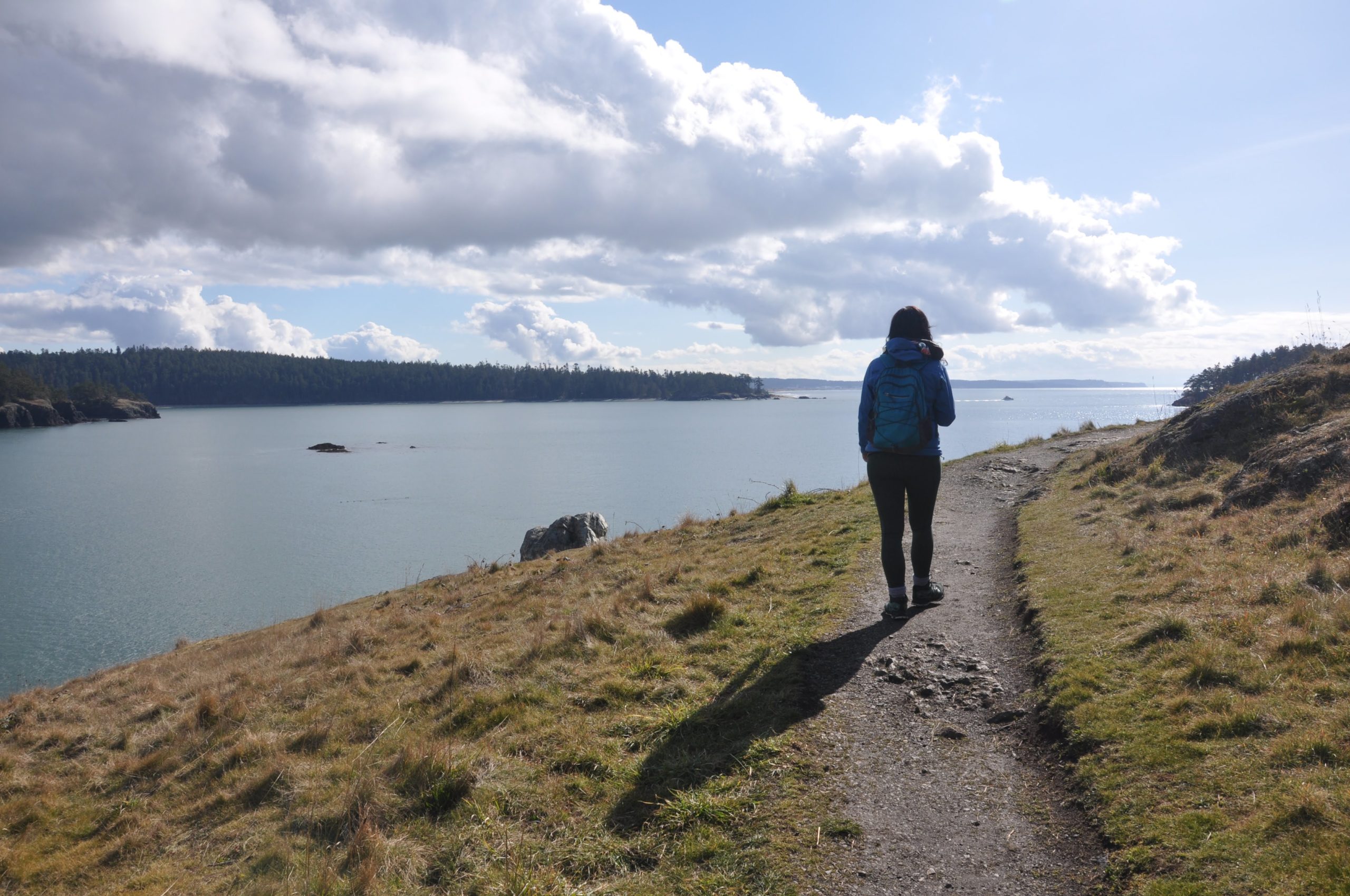
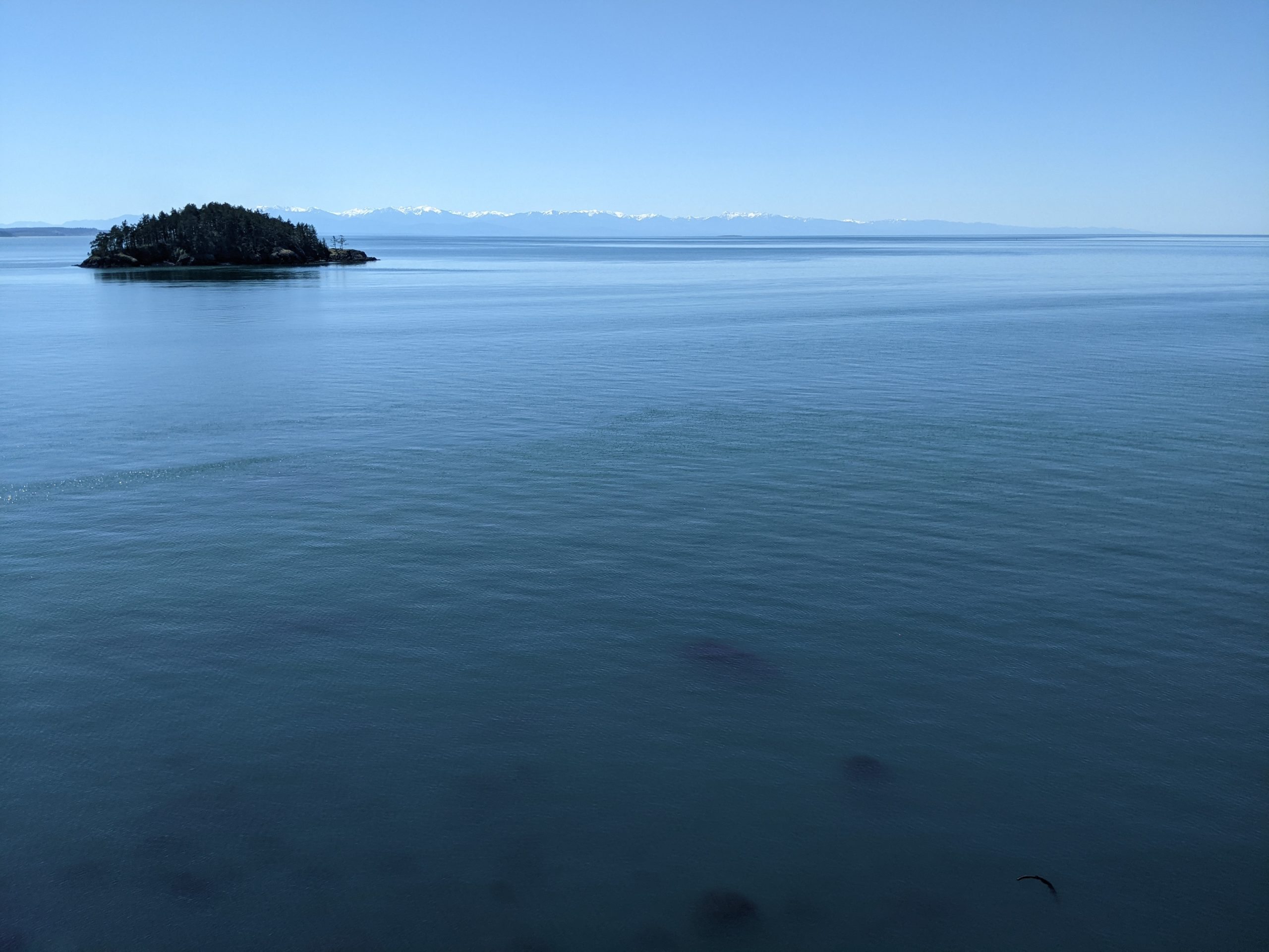
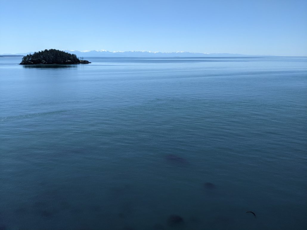
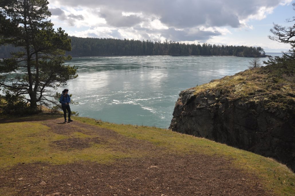
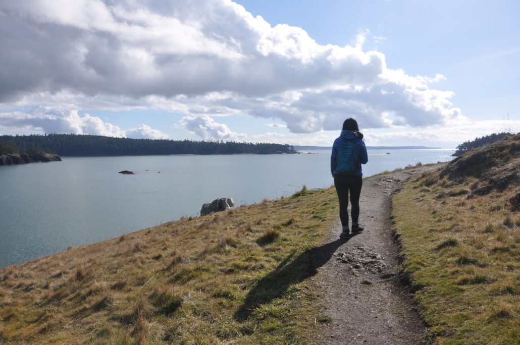
The trail turns west, traversing grassy balds with wide-open westerly sea views to the San Juan Islands. If you’re wondering where the name Lighthouse Point comes from, keep an eye out for “a small steel structure topped with a light bulb”. Access to this active navigational aid is prohibited.
At 1 mile turn right, followed by another right at the next junction to loop back to the tombolo. Optionally, you can create a larger loop by going left at the second junction to reach Reservation Head. From the tombolo, retrace your steps to the parking lot.
Rosario Head
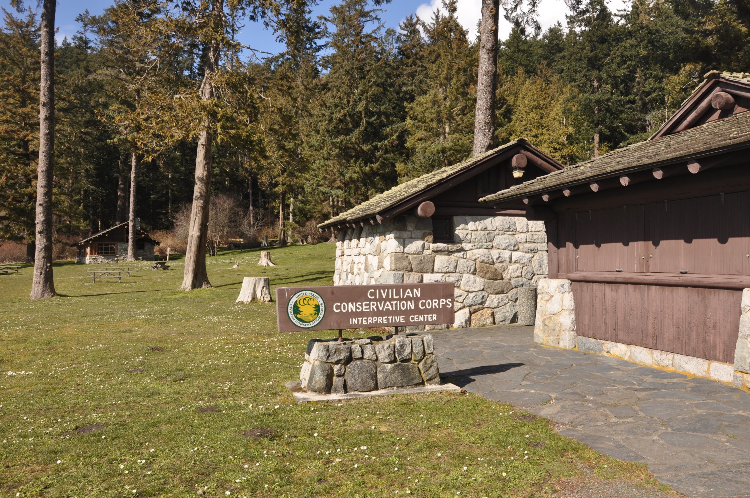
At this point, you’ve walked 2 miles. To add some mileage and scenery, continue walking north from the parking area. Pass through the grassy picnic area and Civilian Conservation Corps (CCC) Interpretive Center. Built as a bathhouse by the CCC in the 1930s, the center is now a museum (open from 10 a.m. – 6 p.m. mid-May through Labor Day, free entry). The trail curves around the bay, passing by Bowman Bay Campground before climbing 100 feet along the rocky shoreline.

At 2.6 miles reach Rosario — another developed picnic area with parking, restrooms, and beaches. Follow the trail left for Rosario Head. The Maiden of Deception Pass — a carved cedar pole depicting a Coast Salish legend — guards the entrance. Read her story before entering, taking the trail to the left. This path climbs gently through the forest before opening up to sweeping views atop sheer sea cliffs.
Rosario Head offers some of the most dramatic scenery in the park, but not without its risks. Keep well away from the edge of these 60-foot cliffs, and make sure dogs are leashed. Soak up the sun and Olympic Mountain views, then continue around the loop and retrace your steps to the Bowman Bay parking area.