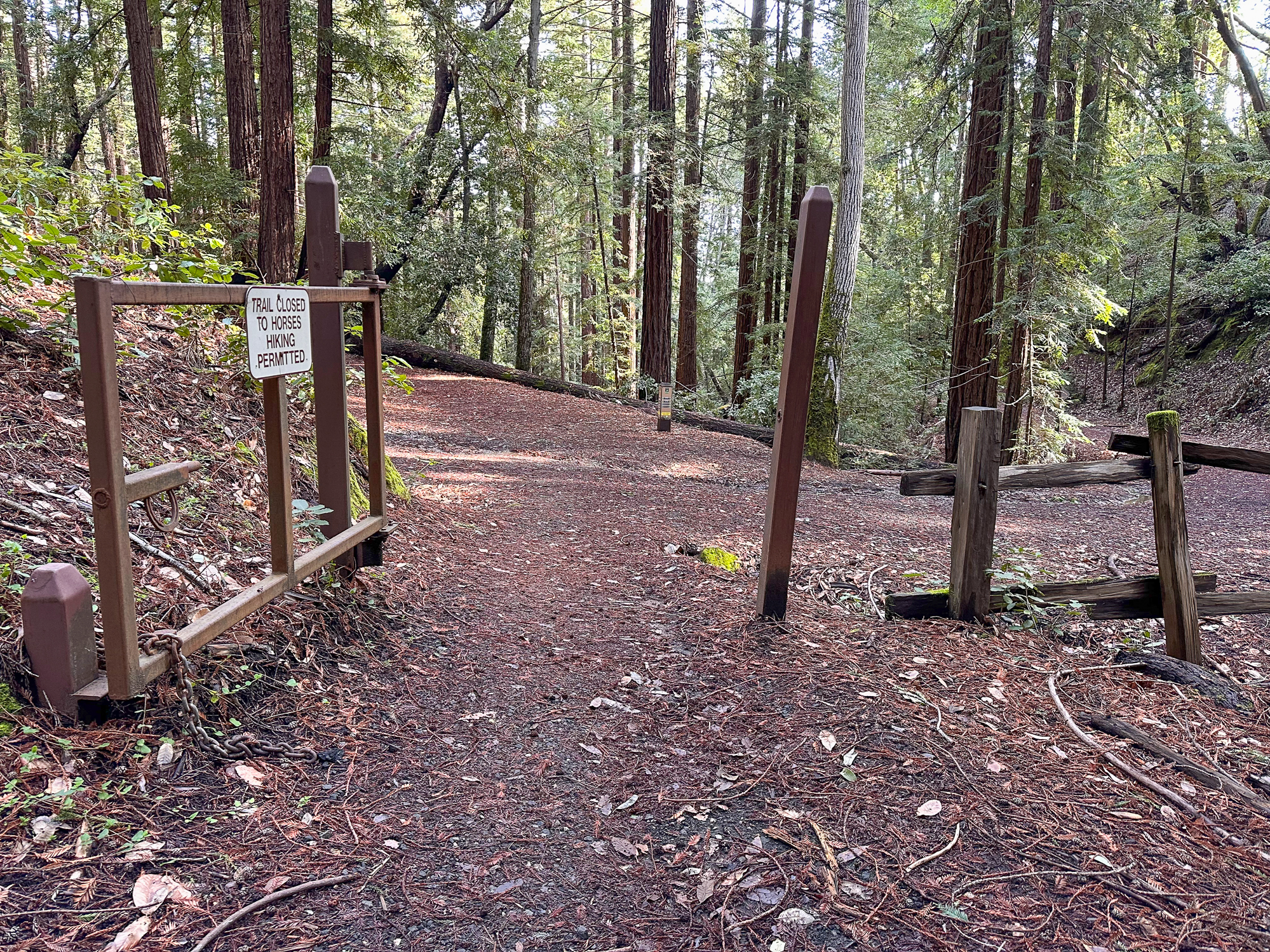
Huddart Park’s cool redwood gulches, wildflowers, and seasonal creeks are a delightful day hike in the Santa Cruz Mountains, just a few miles west of Woodside. The 5.1-mile Dean-Crystal Springs Loop circles shady gulches across wooden bridges with occasional views of the San Francisco Bay. Some of the park’s 24 miles of trails are equestrian-friendly; however, no dogs are allowed.
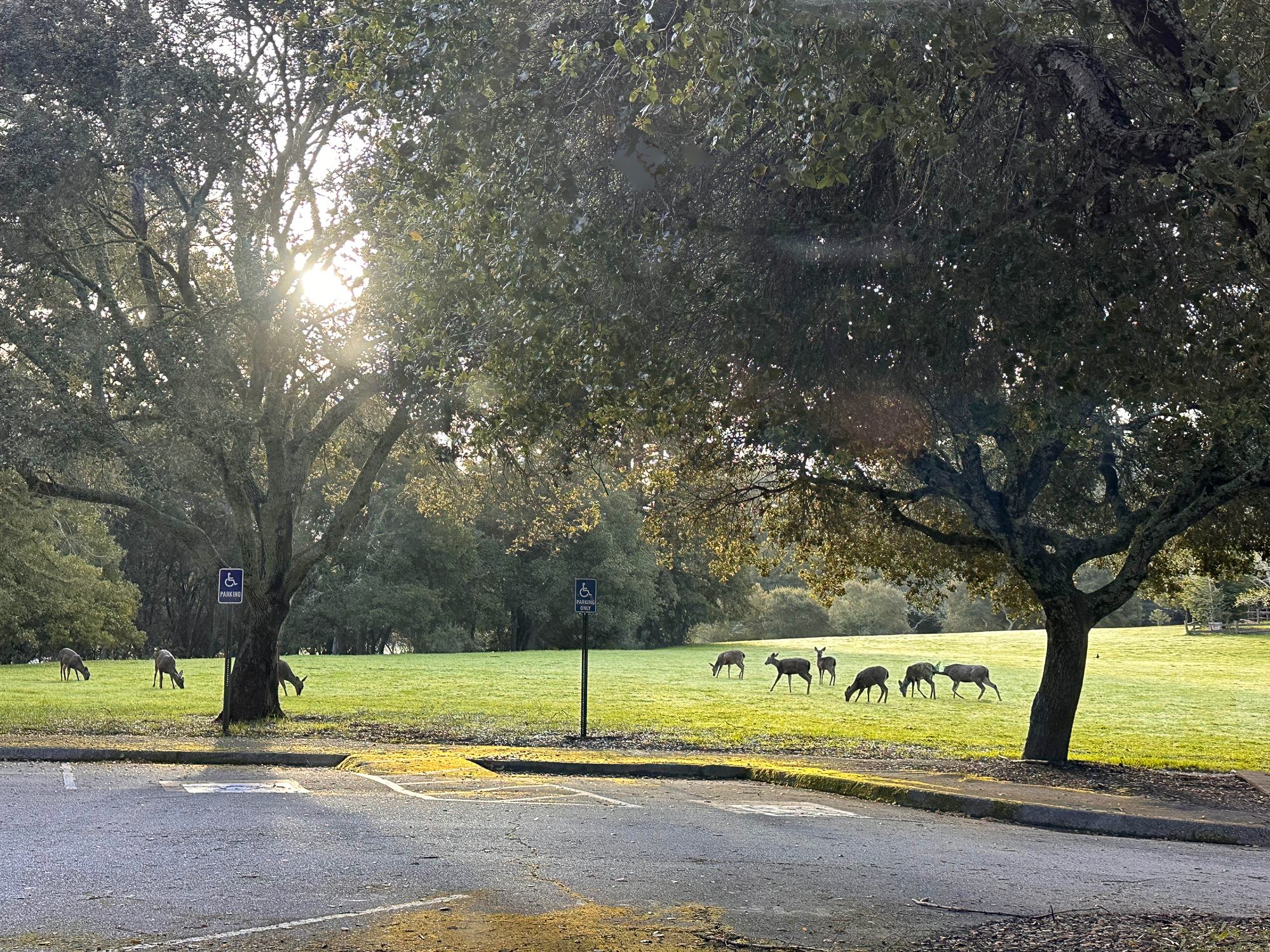
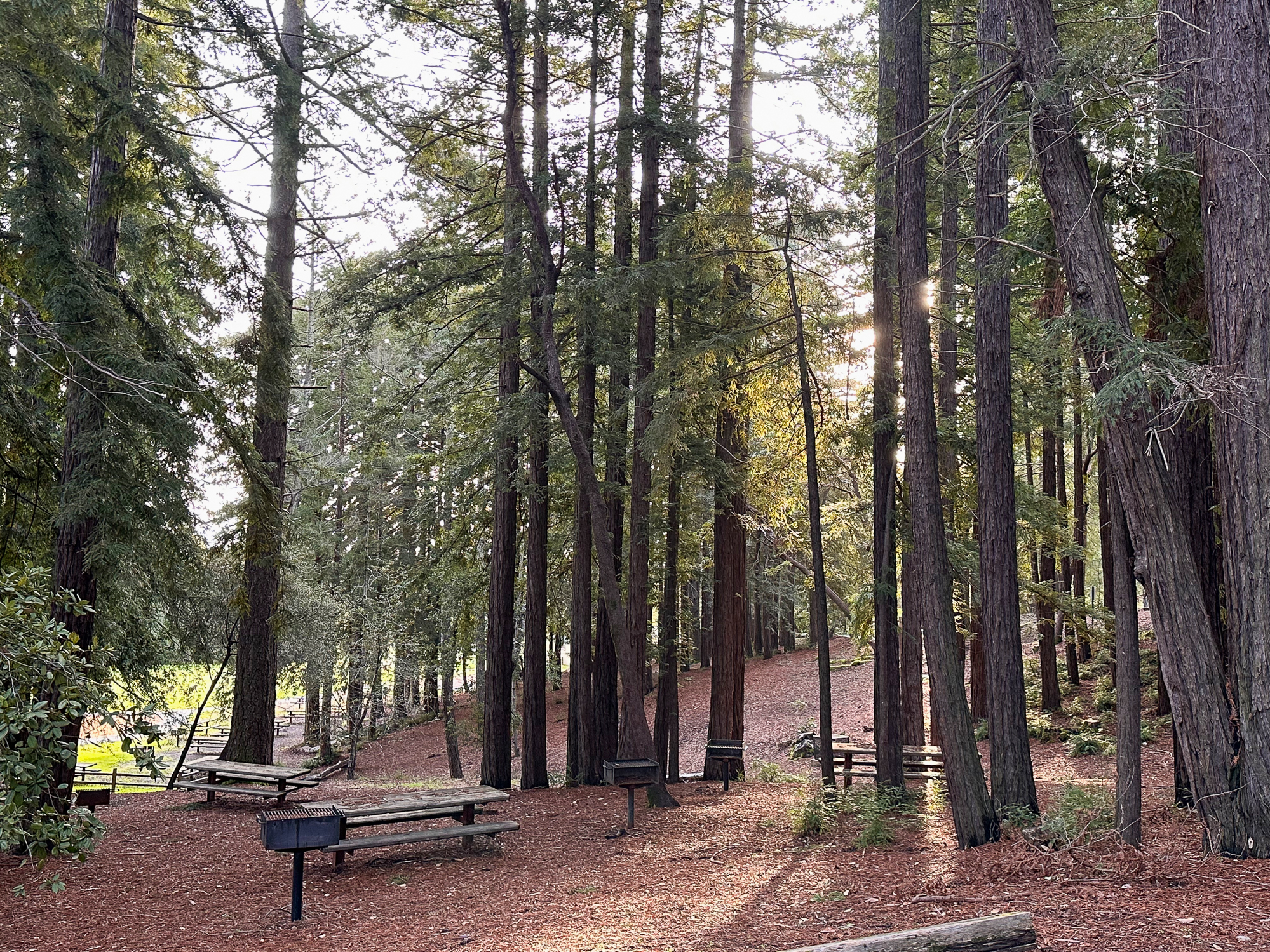
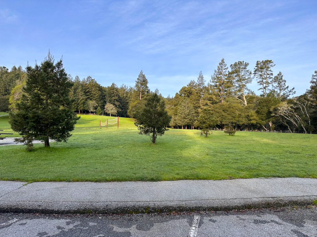
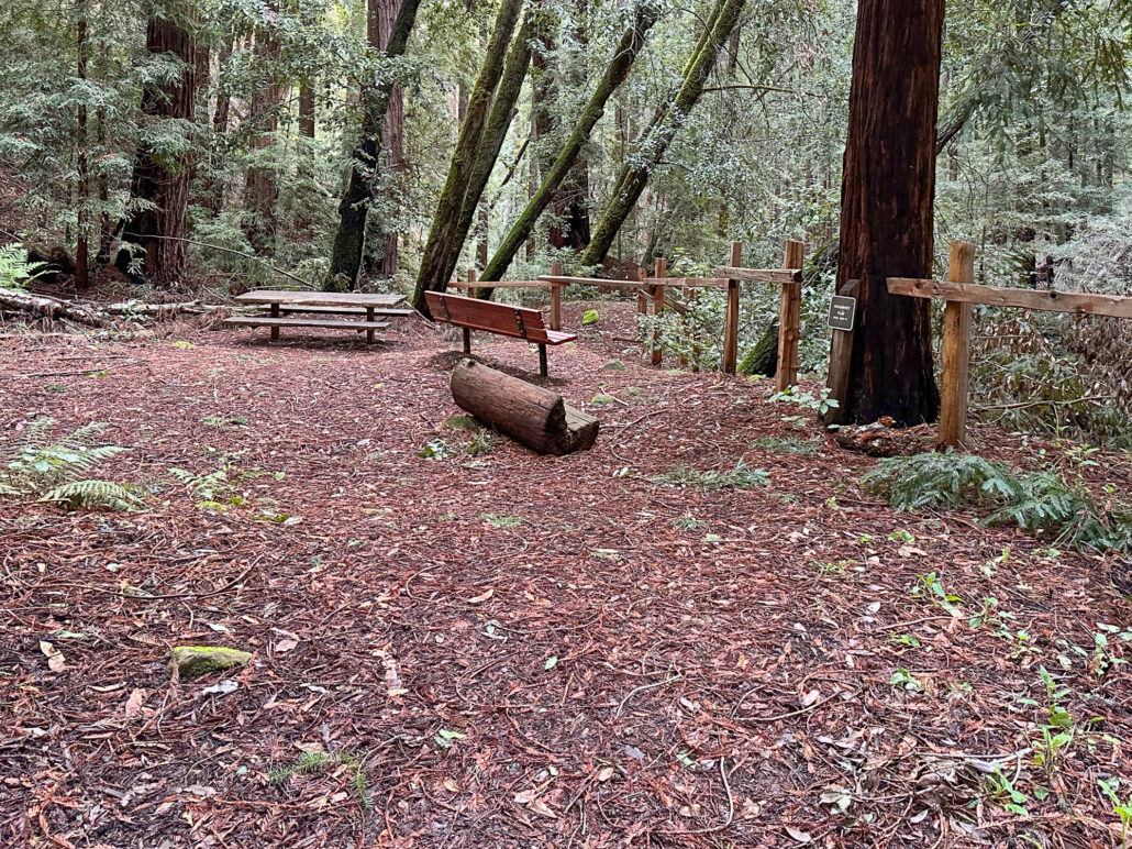
A wonderful feature of Huddart Park is a large, grassy meadow in the main parking area. Picnic sites and restrooms surround the meadow. This hike description begins on the western side of the meadow, near the Upper Werder Picnic Area, and follows the loop clockwise. This gets the busier part of the hike, next to the parking lots, out of the way, and then goes on to the quiet, more remote areas around the park’s northern side.
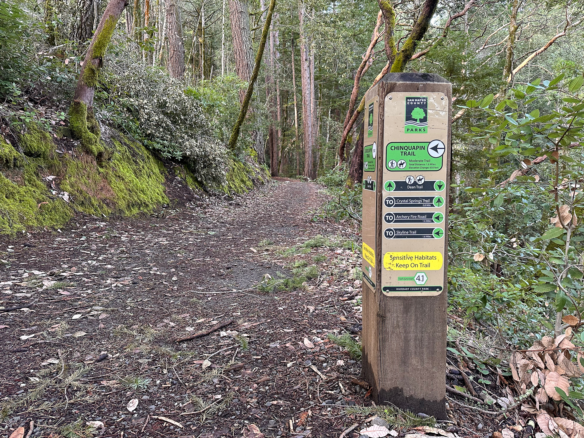
Dean Trail
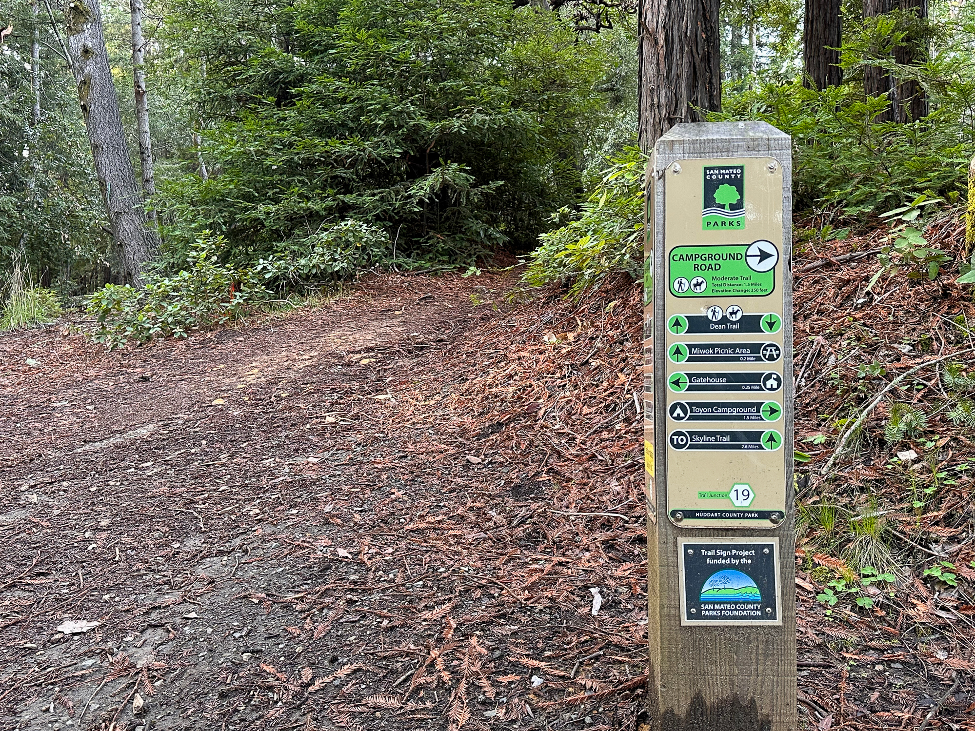
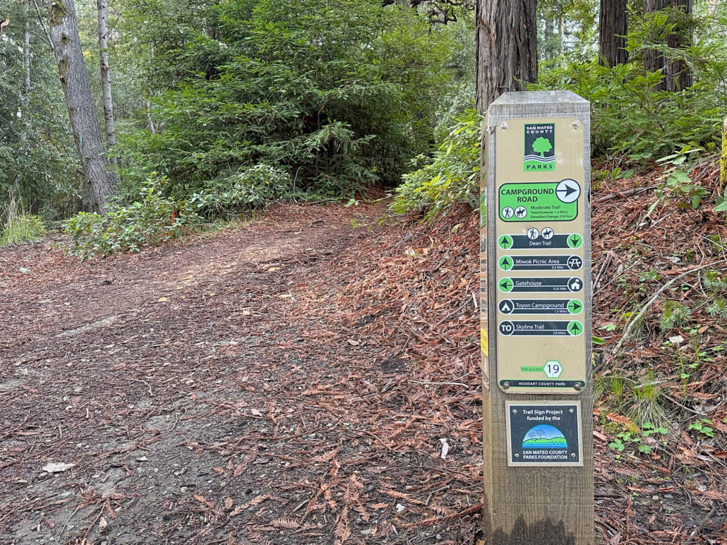
Begin your loop at Junction 19, near the Werder Picnic Shelter Area. Join the Dean Trail, heading south toward the Miwok Picnic Area. The single-track weaves close to parking areas in the first 0.3 miles, making it easy to pick up the trail from multiple places on the park’s western side. A great parking alternative is the Miwok Picnic Shelter, beside Junction 30, where the parking lot connects directly to the Dean Trail.
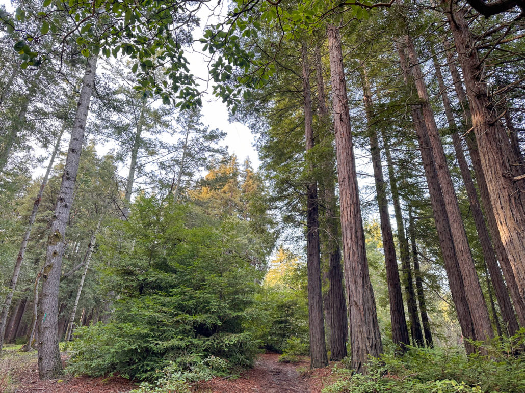
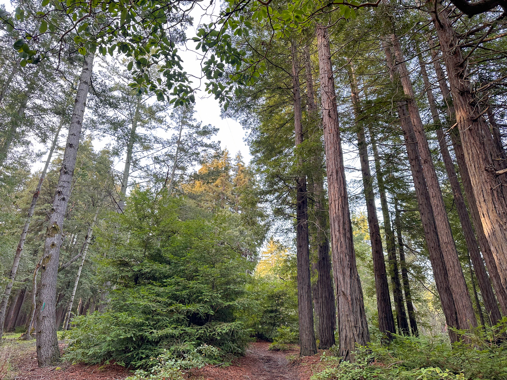
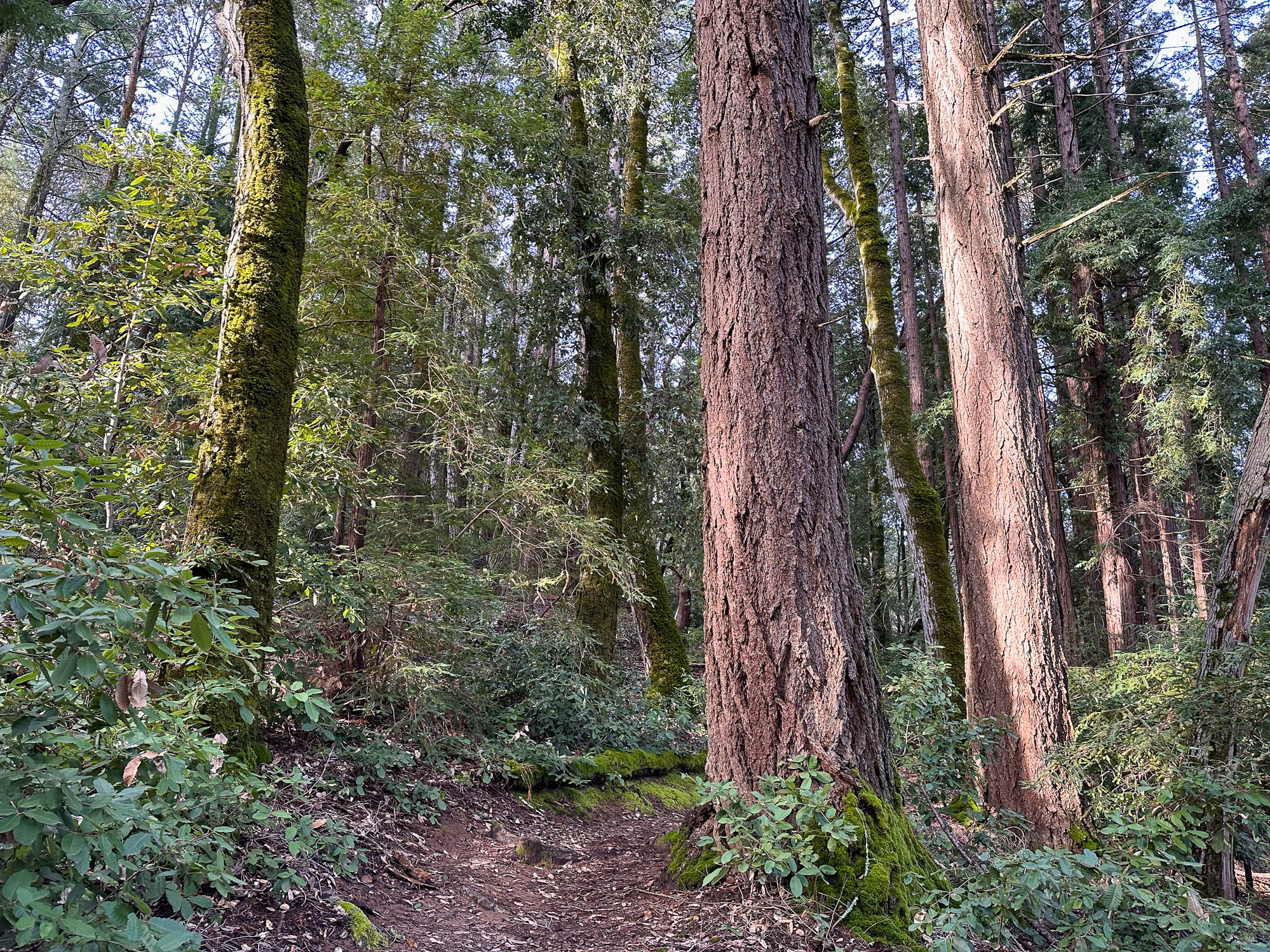
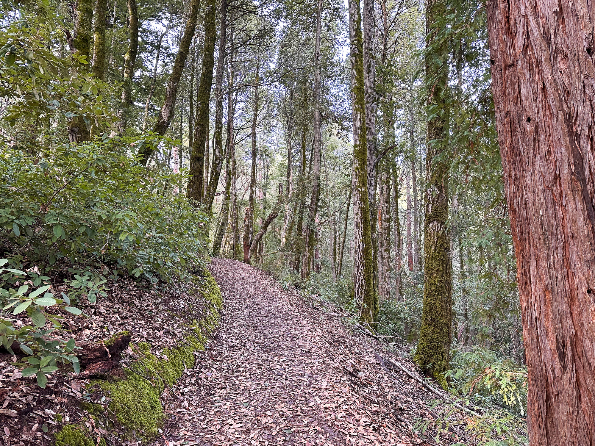
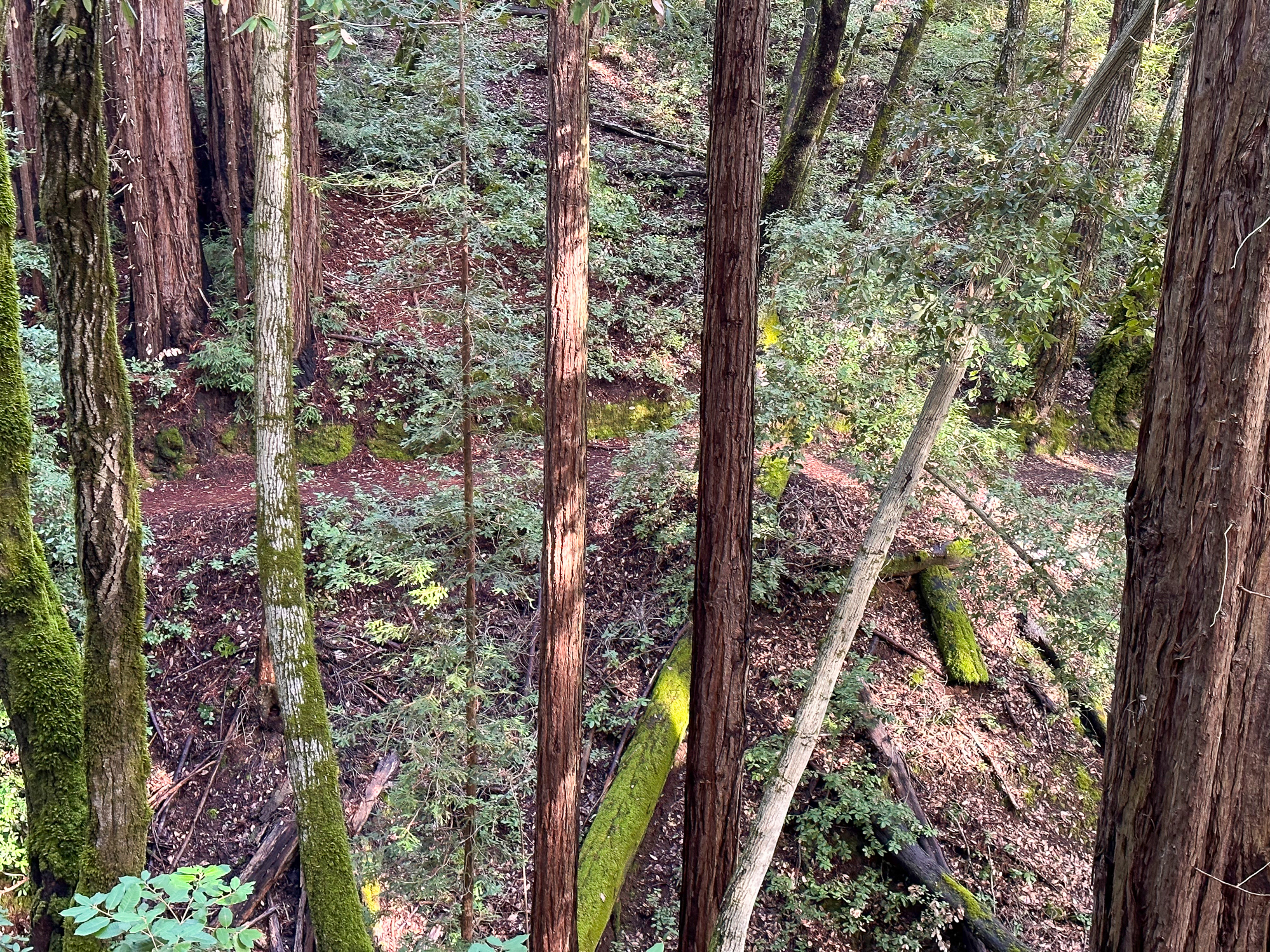
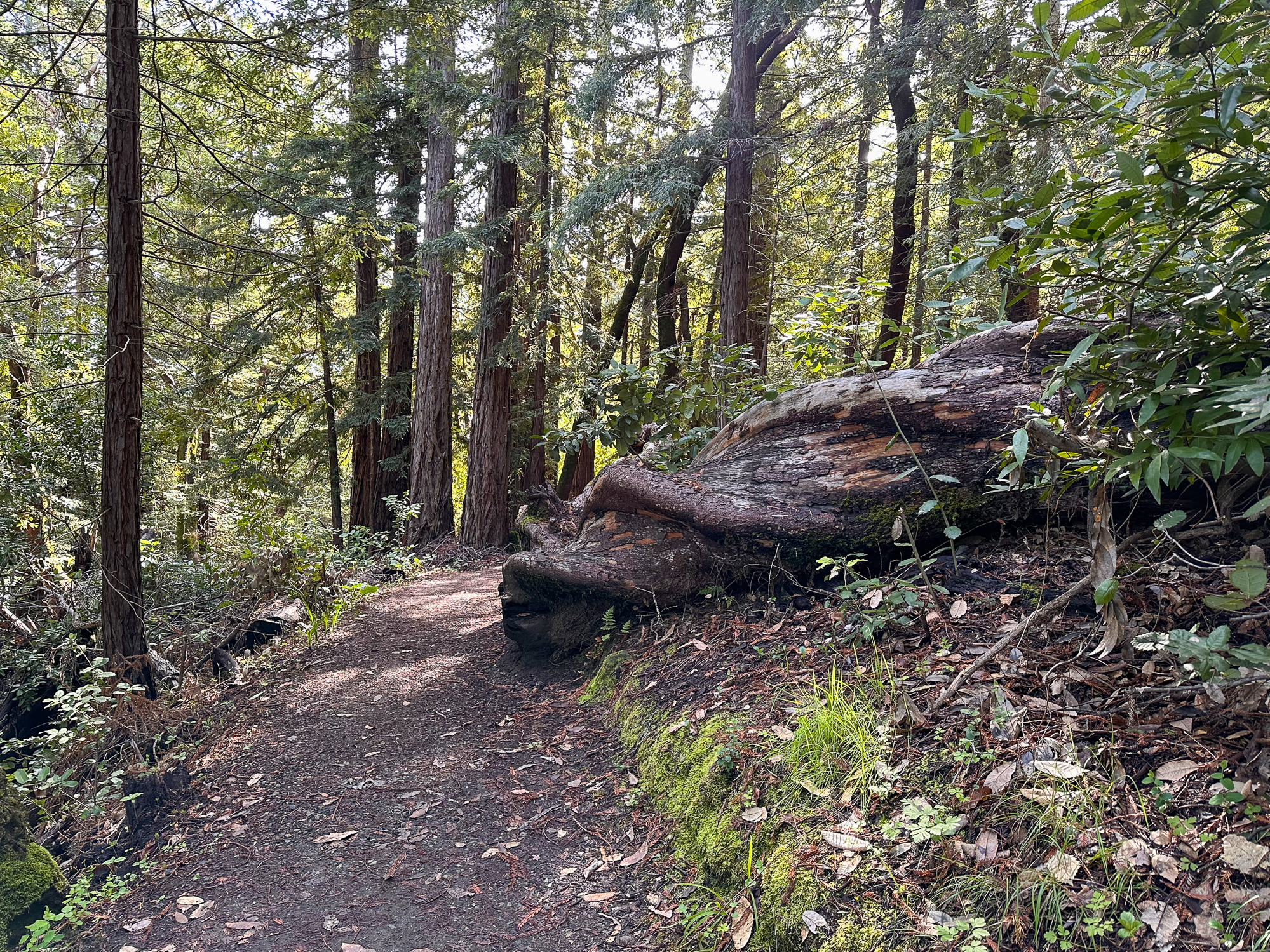
Already you’re hiking among second-growth redwoods, sprouted in place of ancient redwoods logged in the mid-1800s for lumber to build fast-growing San Francisco. Five sawmills ran near the present-day Huddart Park between 1853 and 1860. On the park’s northern perimeter, the Richard’s Road Trail used to be a transportation route for oxen-pulled wagons carrying redwood lumber to Redwood City. Once there, it would travel by barge to San Francisco.
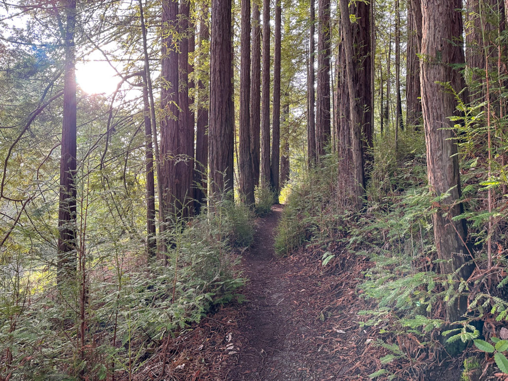
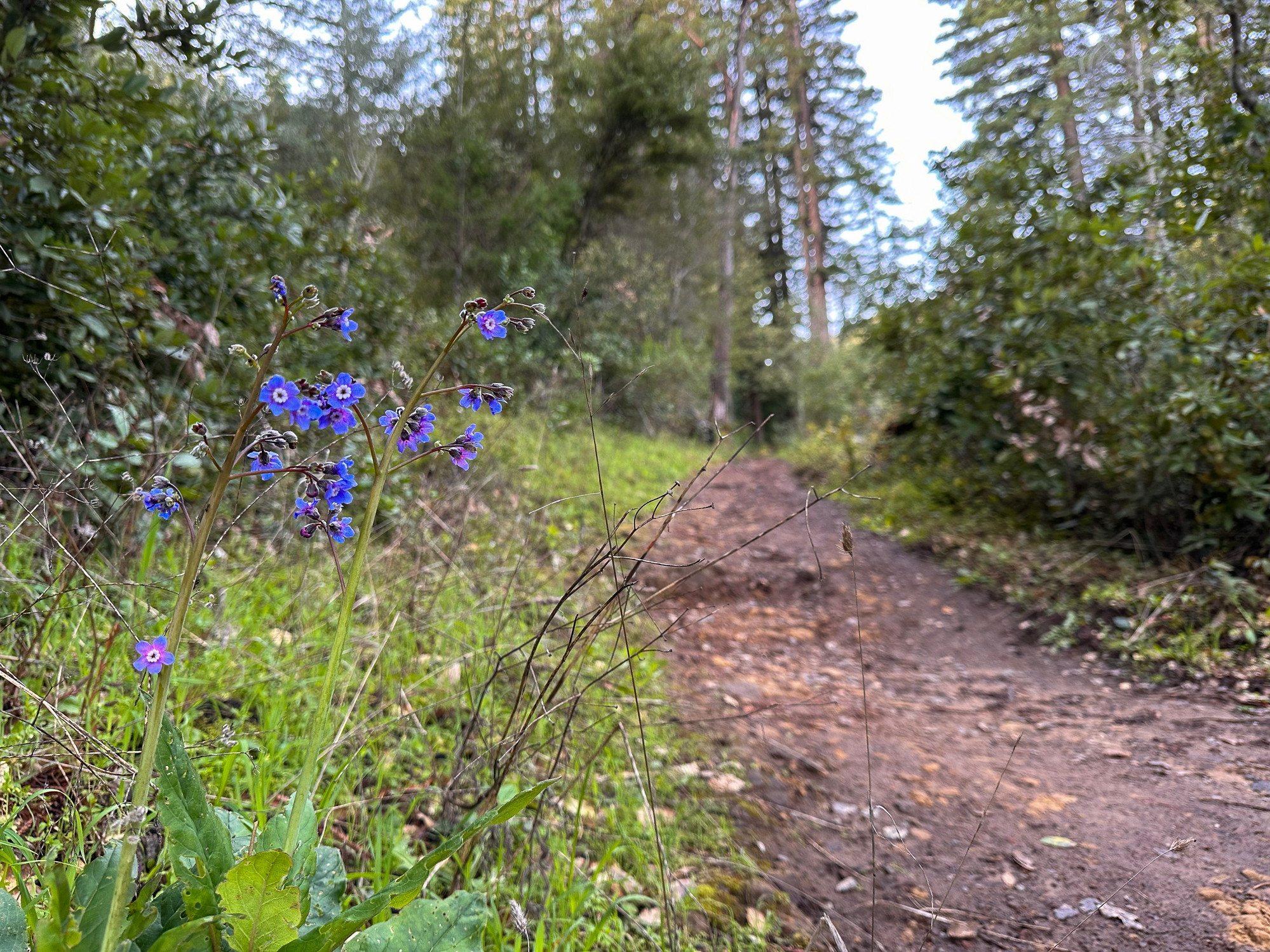
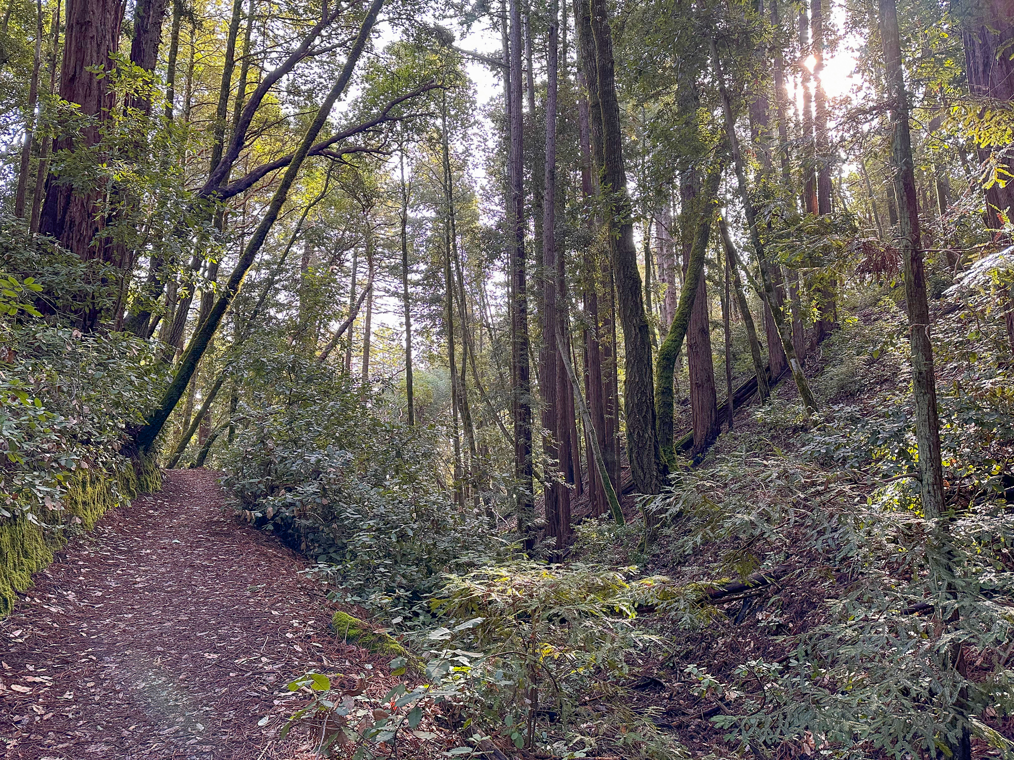
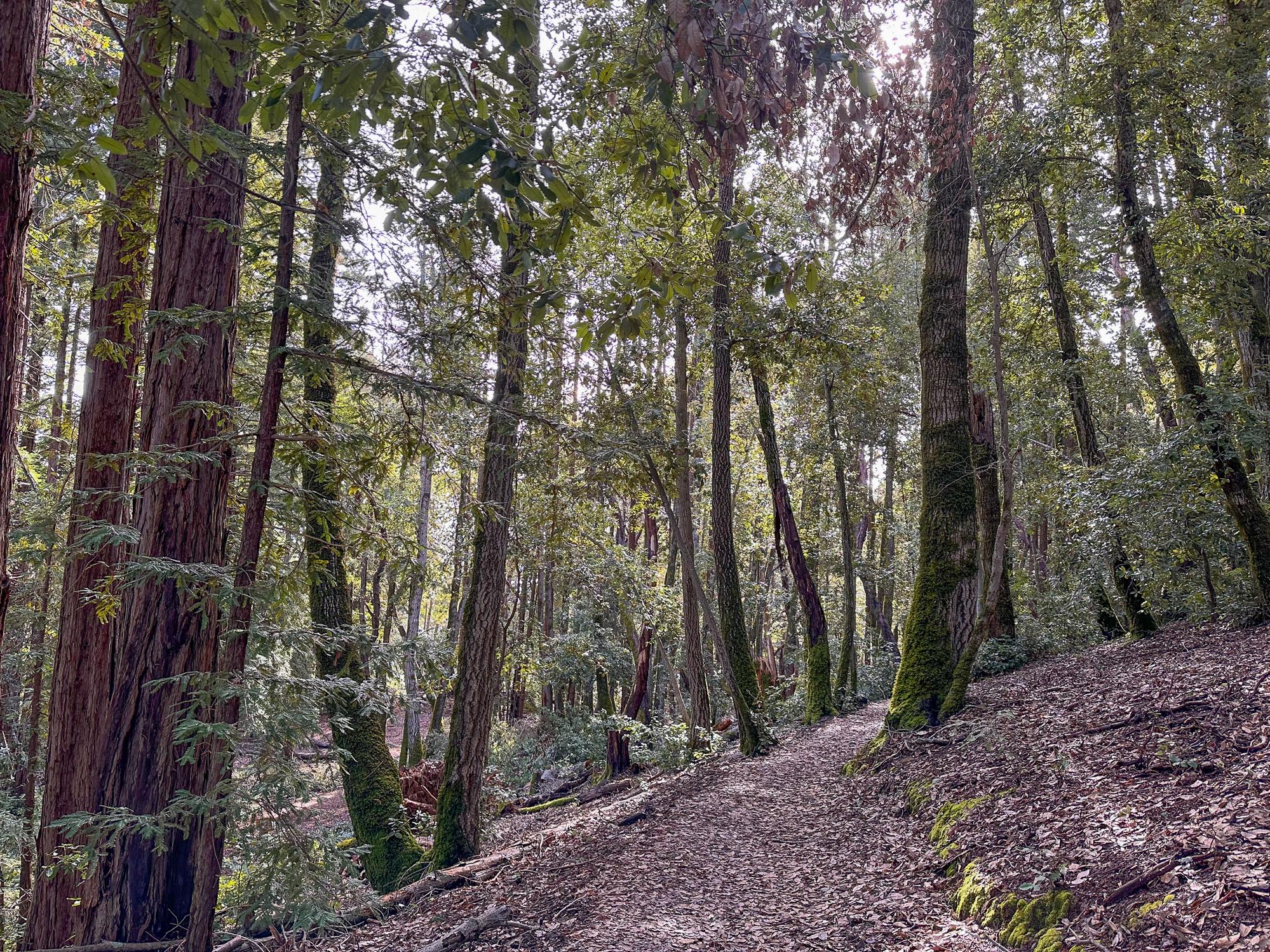
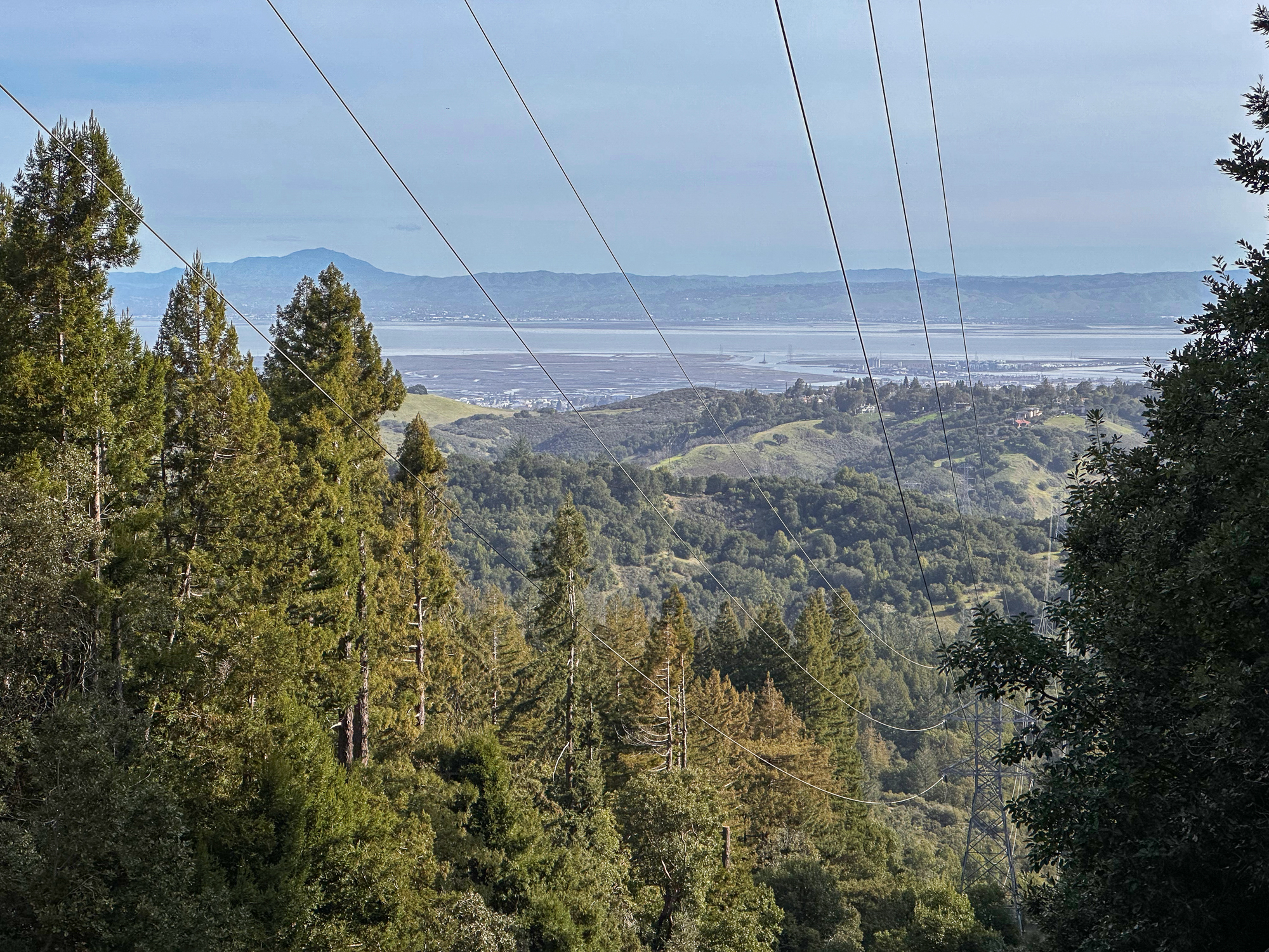
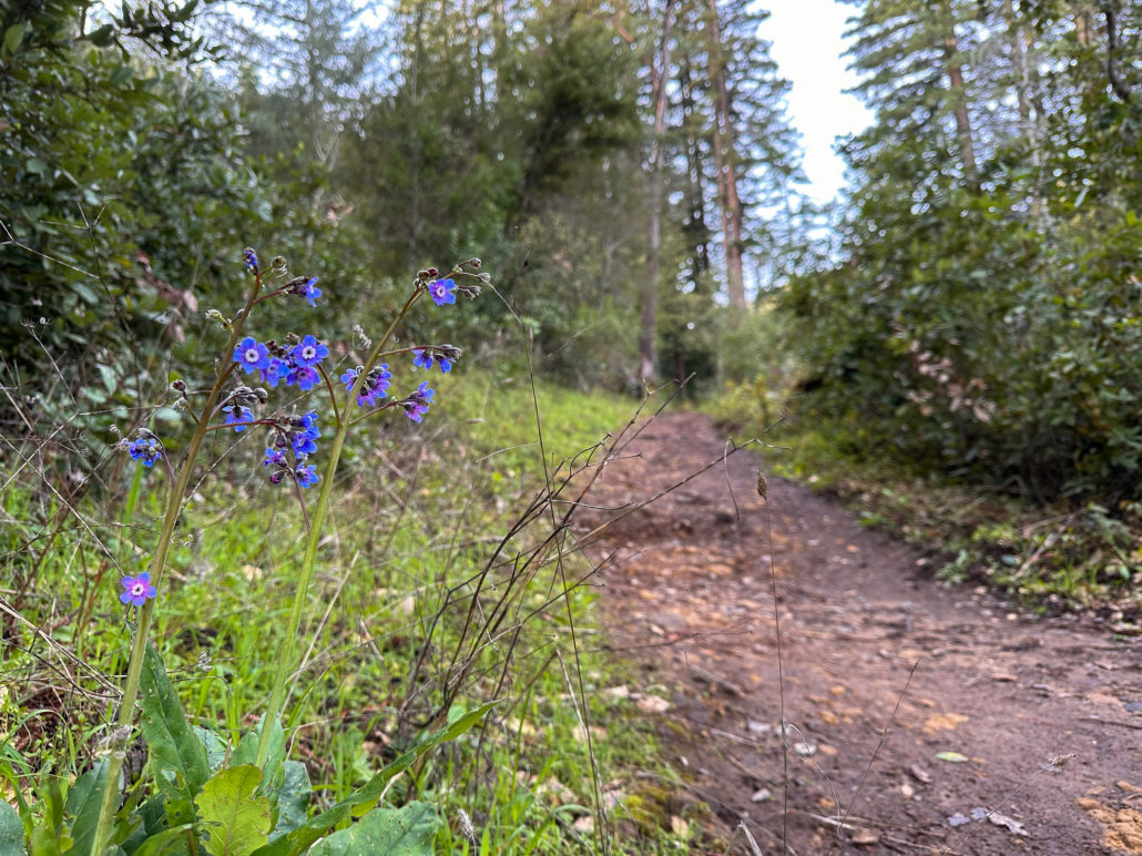
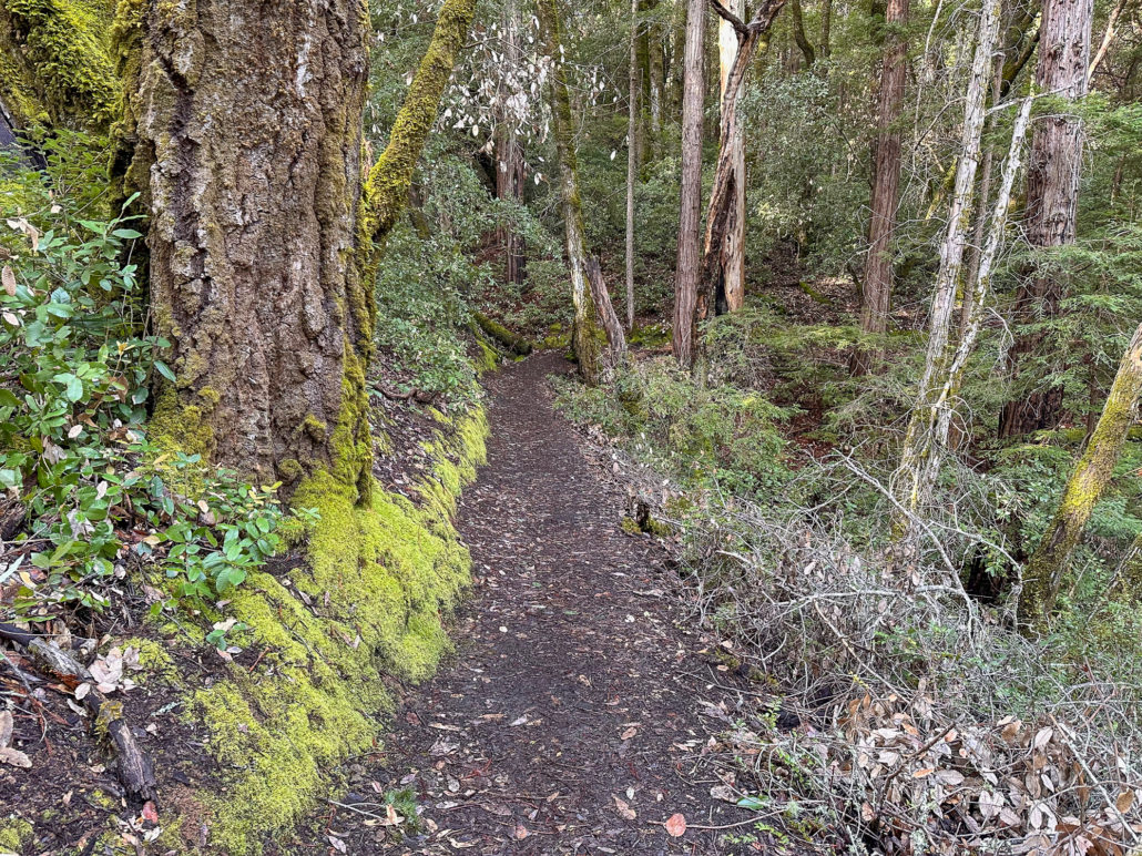
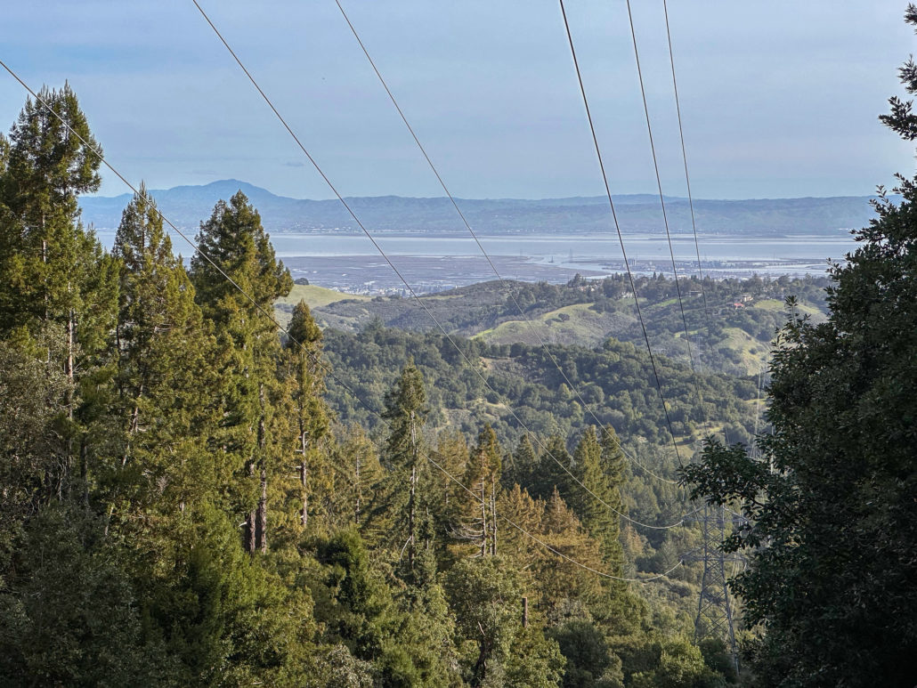
There’s an airiness to the forest that allows sunlight to filter through trees and makes the surrounding landscape glow. If I had to pick a theme for this hike, sunlight-filtering-through-the-trees would be it. Birds like juncos and towhees chirp and tweet up in the canopy. At a break in the trees, you can just make out the San Francisco Bay to the east. In springtime, wildflowers like Pacific Hound’s Tongue add a pretty pop of color to the forest.
McGarvey Gulch
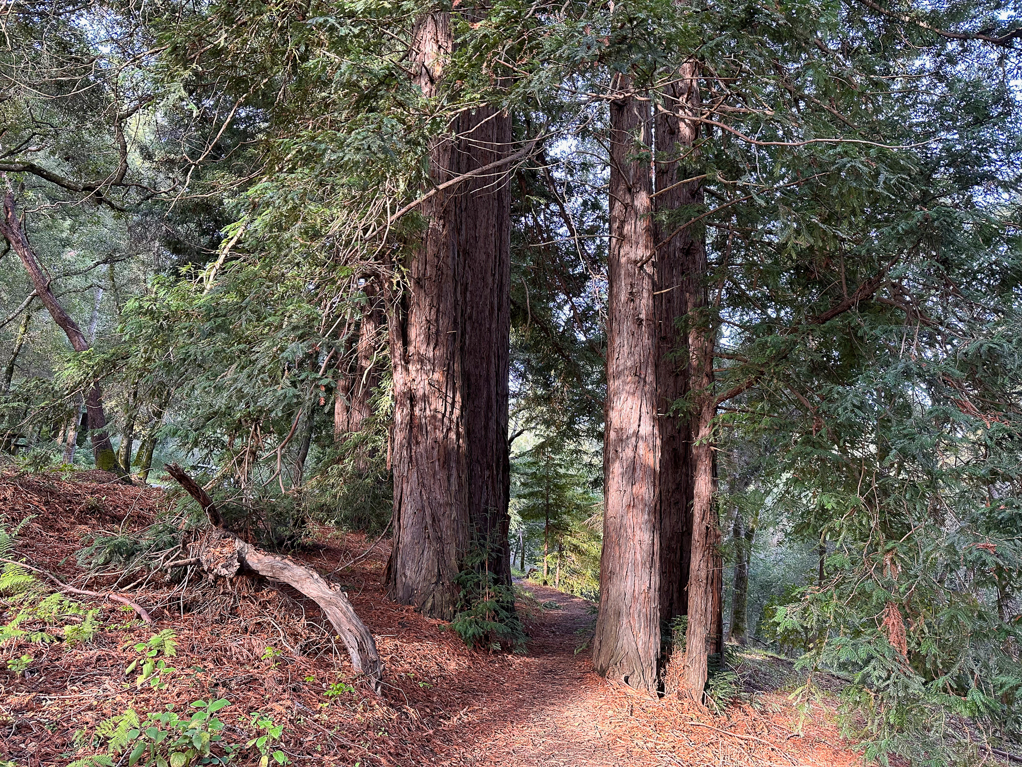
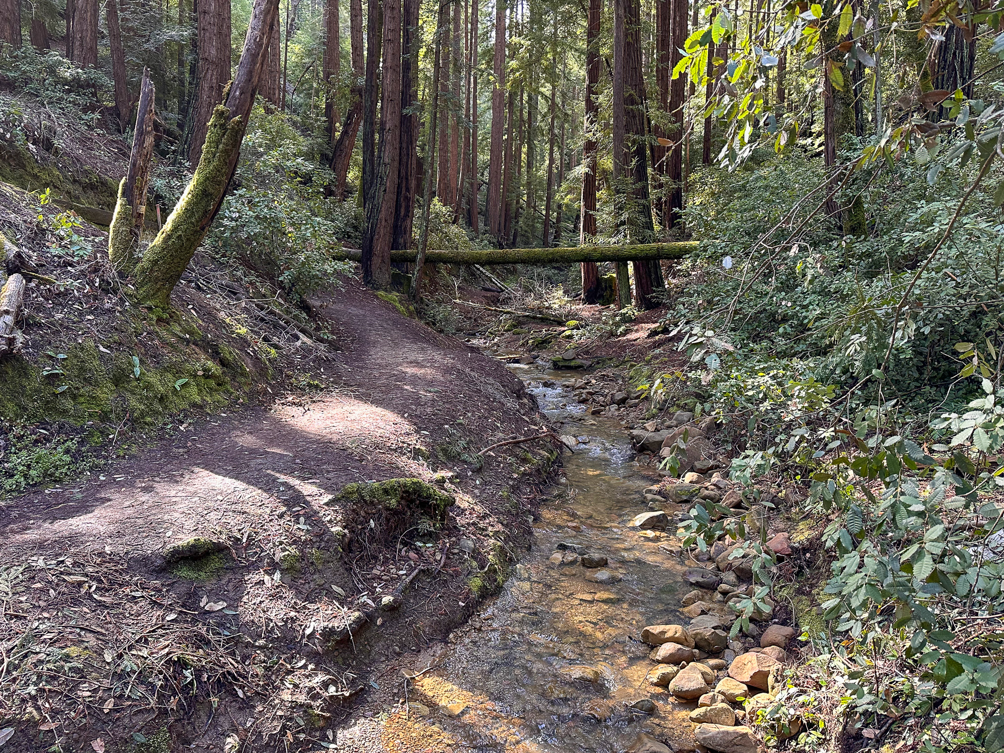
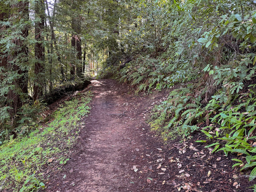
At the 1.0-mile mark, continue west on the Dean Trail. Entering McGarvey Gulch, the trailside seemingly drops away, rolling steeply downhill to McGarvey Gulch Creek. Tall redwoods grow in the cool, shady, and damp gulch.
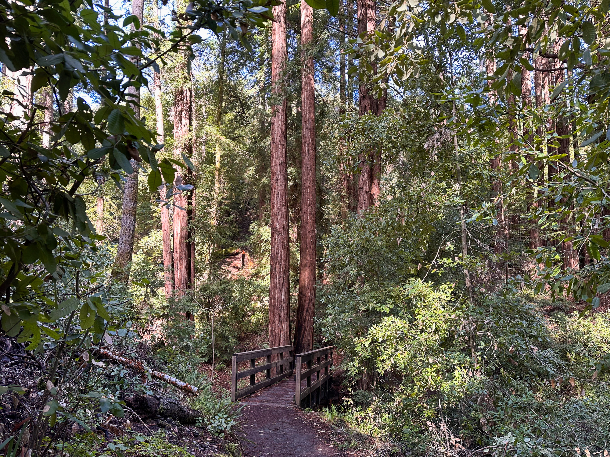
Cross a bridge over McGarvey Gulch Creek, a seasonal creek in the San Francisquito Watershed. The creek’s surroundings are full of green ferns, shrubs, and redwoods. Downstream, the creek provides habitat for steelhead trout. After a rainy winter, the creek flows well but can dry out in warmer months.
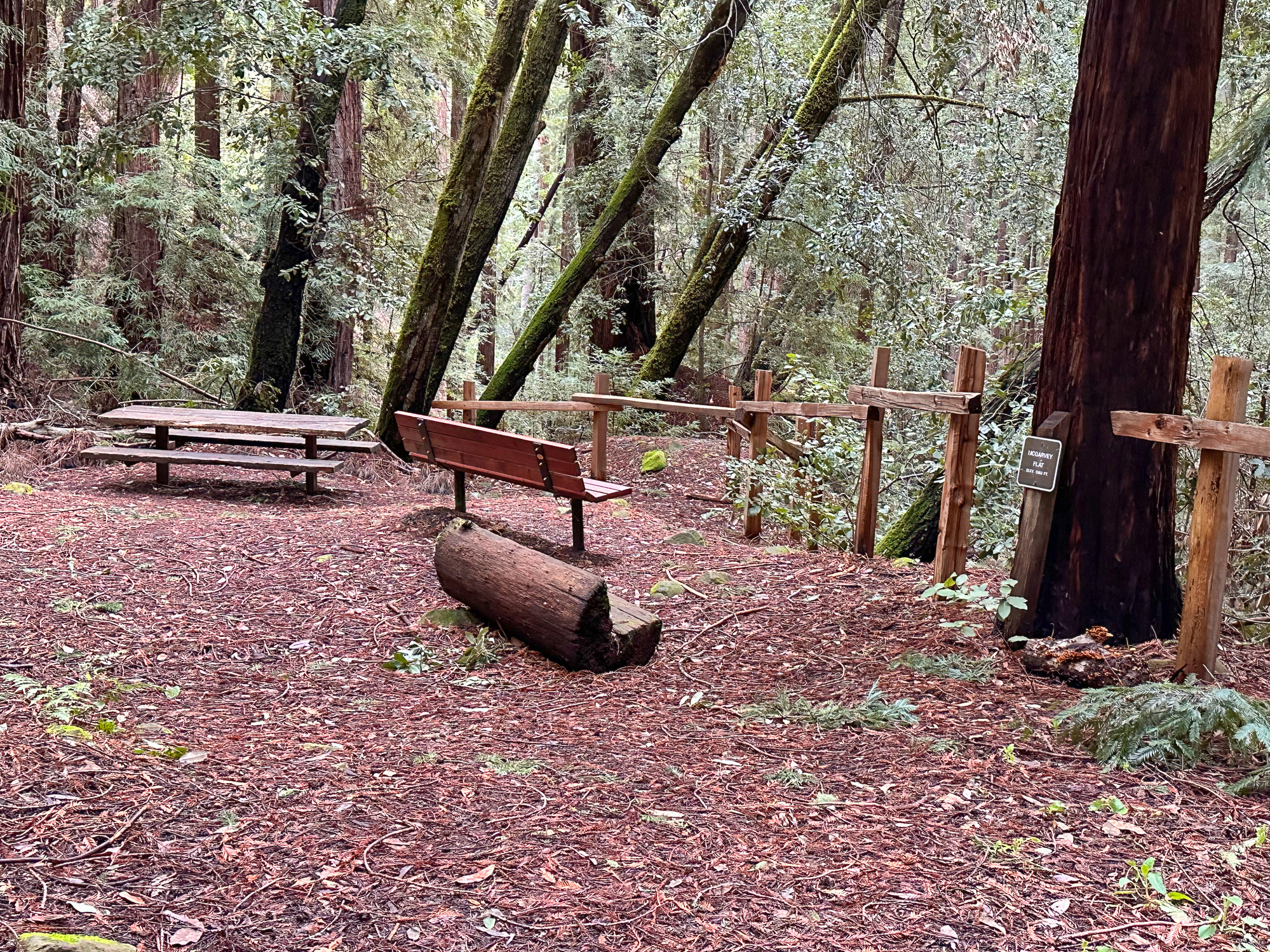
McGarvey Flat
Just beyond the bridge, a spur trail leads to McGarvey Flat, a picnic area that makes a nice snack and stretch break. When ready, continue on the Dean Trail, heading north alongside curvy madrone and electric green moss. The park’s namesake, James Huddart, was a lumberman who deeded this land to become a public park. After he passed in 1935, it bounced from San Francisco to the state of California due to complications from water rights. It eventually became a San Mateo County park in the 1940s.
Huddart’s painful upbringing in an orphanage was the driving force behind his donation: He wanted to do something positive for youth. Today you can find a playground, youth day camps, and even a youth-friendly Archery Range maintained by Kings Mountain Archers at Huddart.
Crystal Springs Trail
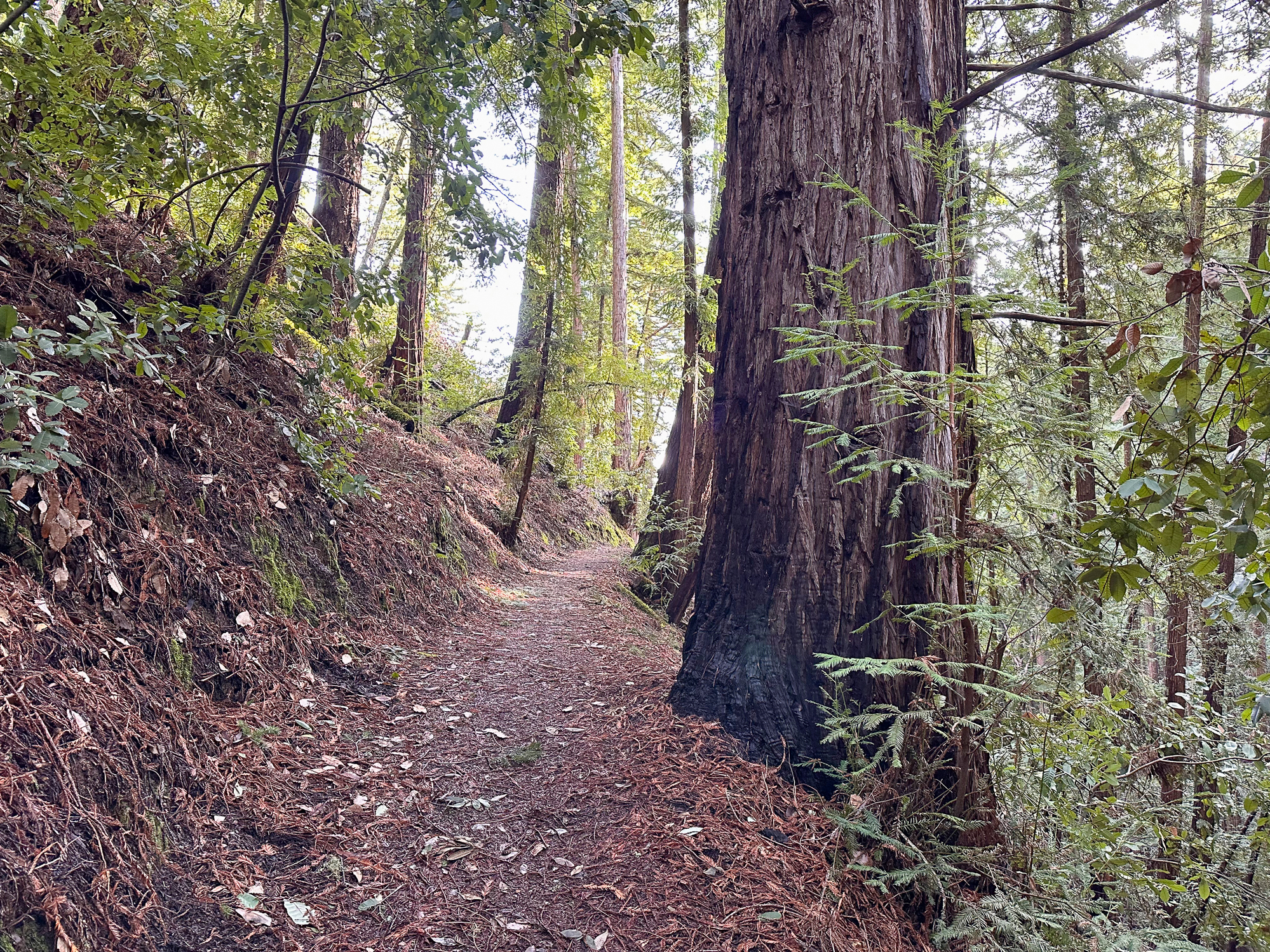
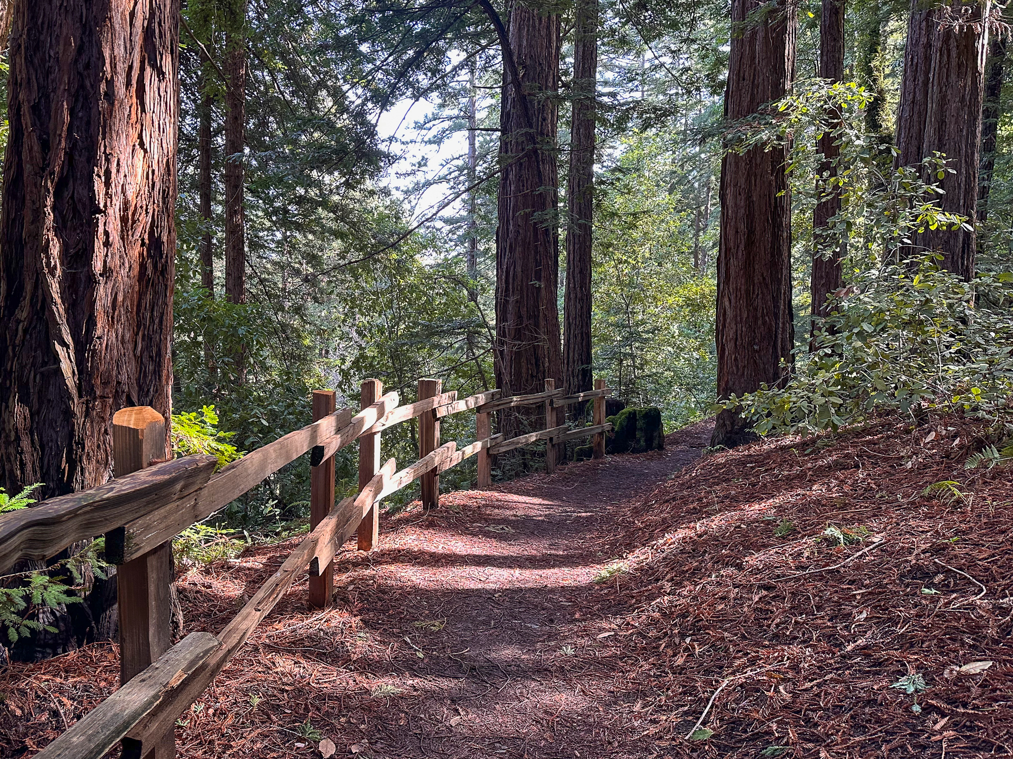
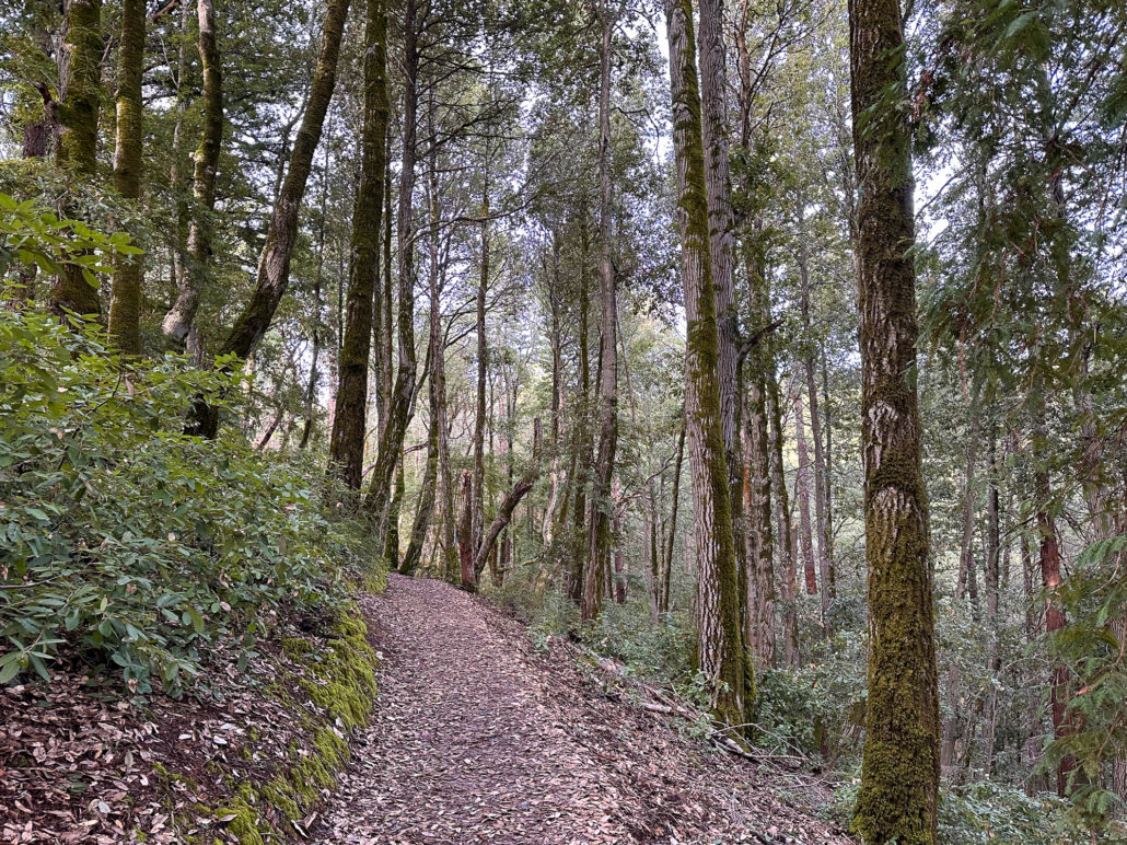
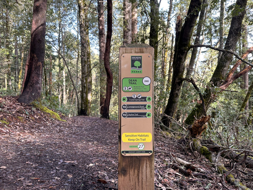
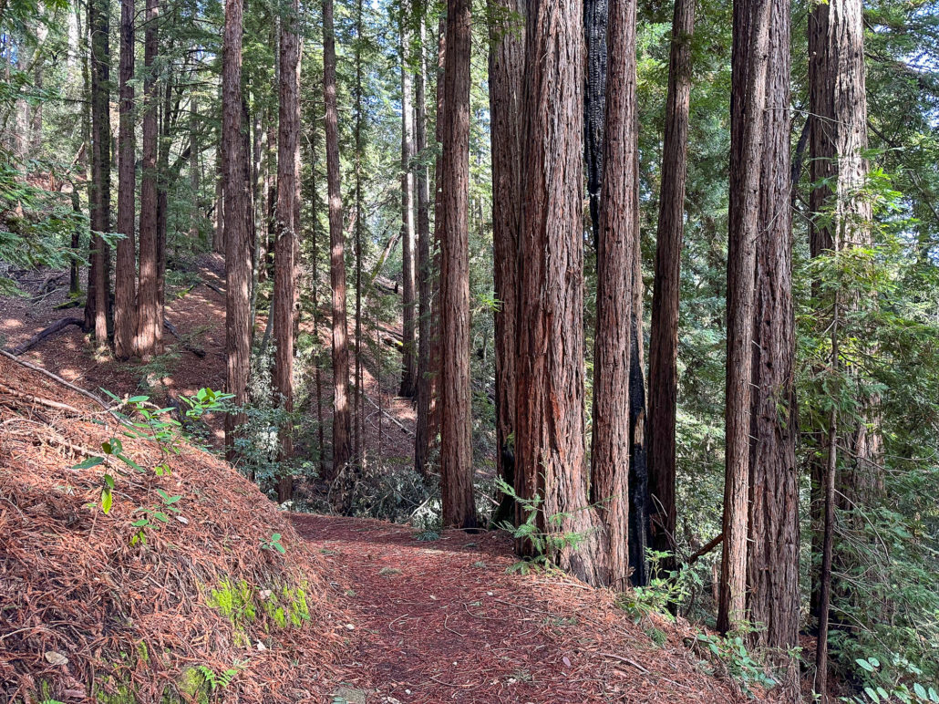
At the 2.0-mile mark, reach the end of the Dean Trail at Junction 27. Stay straight and merge onto the Crystal Springs Trail toward Campground Road. This is the highest point of the hike and from here it trends downhill. Next up, you have the pleasure of another gulch, albeit a small one, with second-growth redwoods.

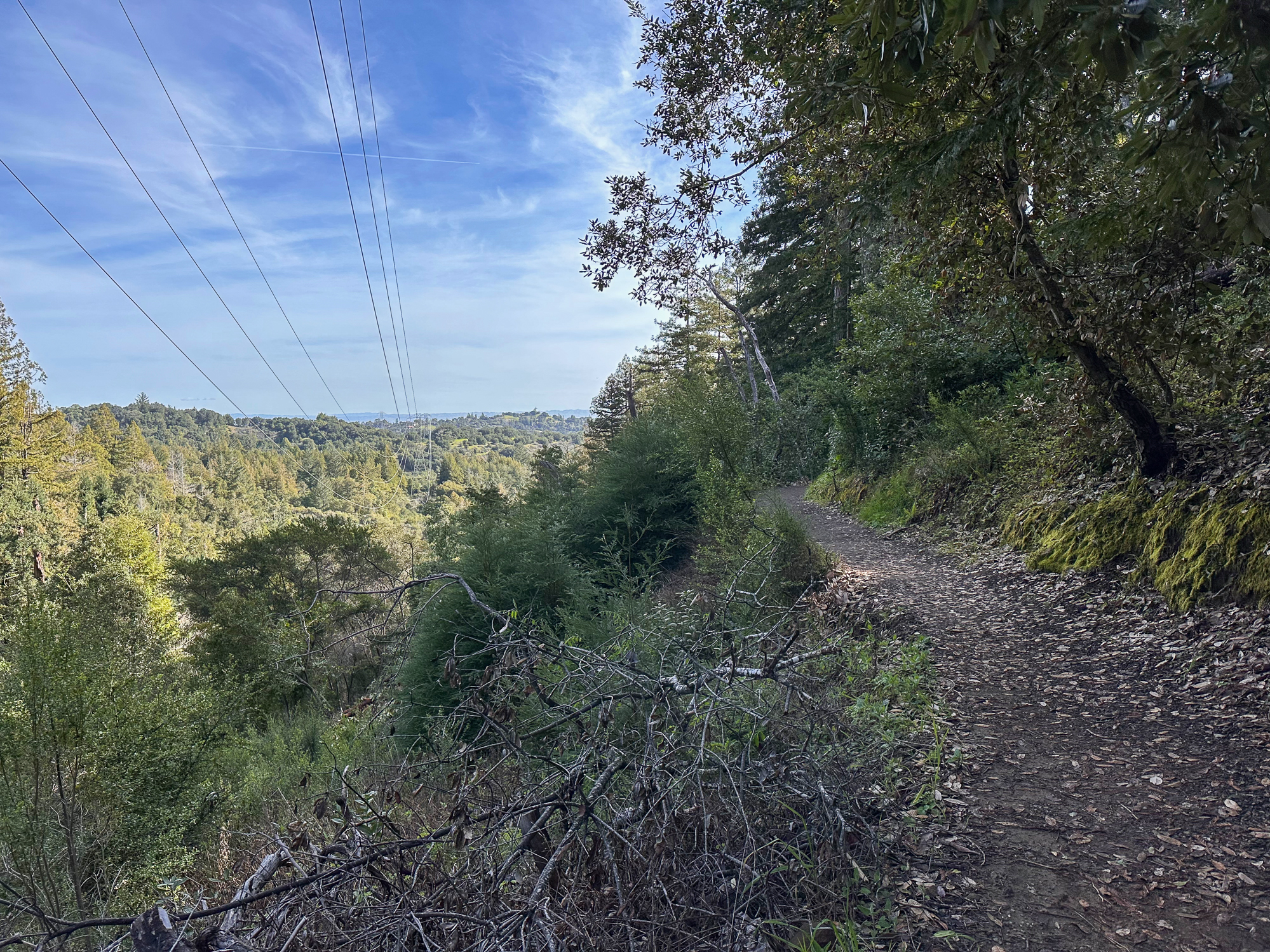
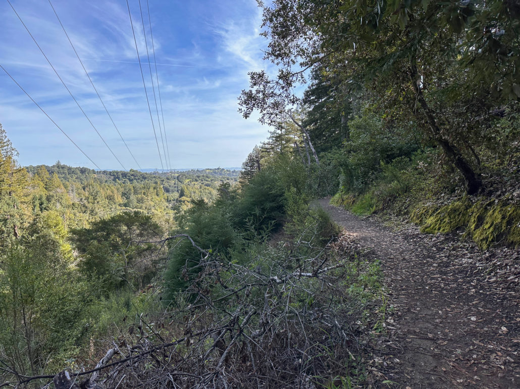
Descending eastward, the Crystal Springs Trail breaks into switchbacks, with oak and madrone mixed with redwood family circles. The canopy opens a bit more here, with light streaming down onto the trail. Breaks in the canopy provide views of Mount Diablo and the San Francisco Bay.
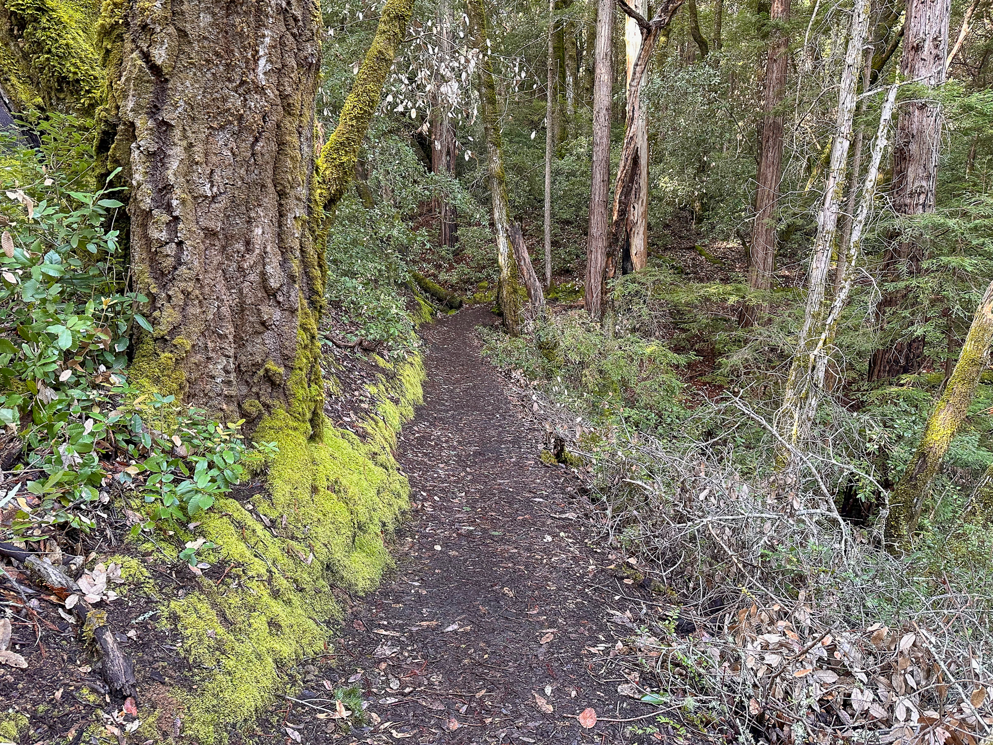
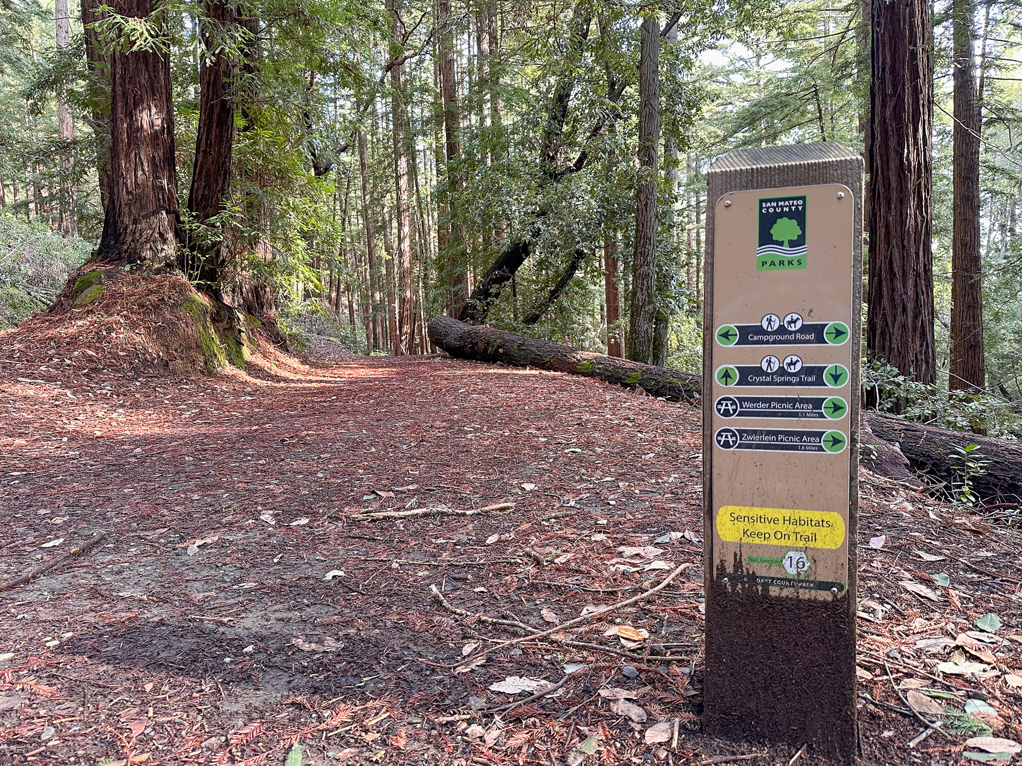
Approaching the 3.0-mile mark, cross Campground Road at Junction 16, continuing on the Crystal Springs Trail. More Pacific Hound’s Tongue and Goldback Ferns line the trailside. A sunny tunnel of blue blossom leads to an open hillside with a view of the Diablo Range. Just past it, a spiraled Pacific Madrone trunk is fun to pause at and marvel over.


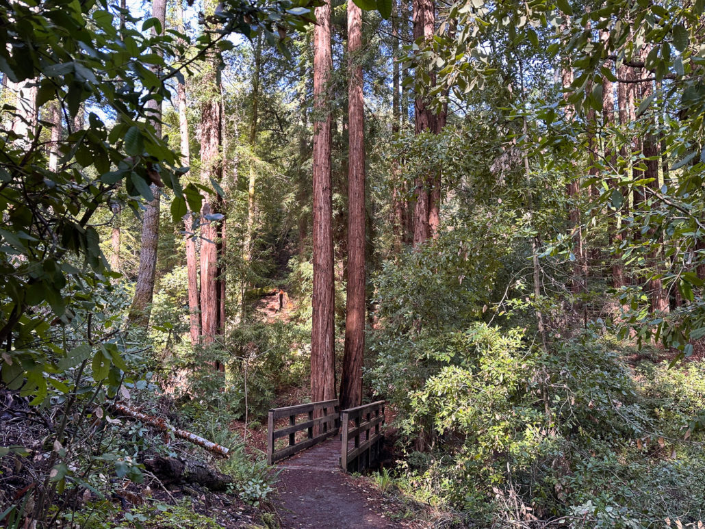
Bridges and Creeks
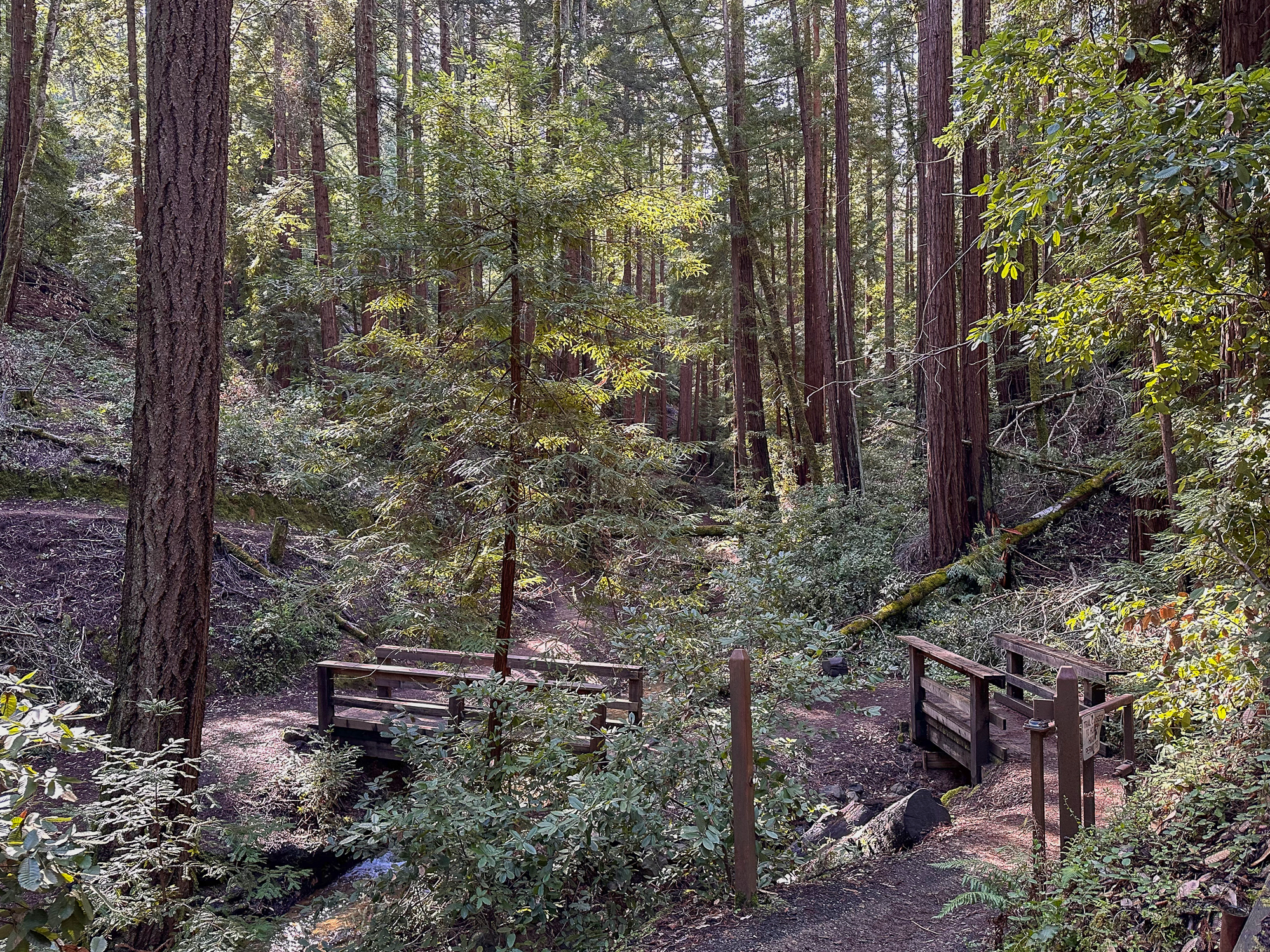
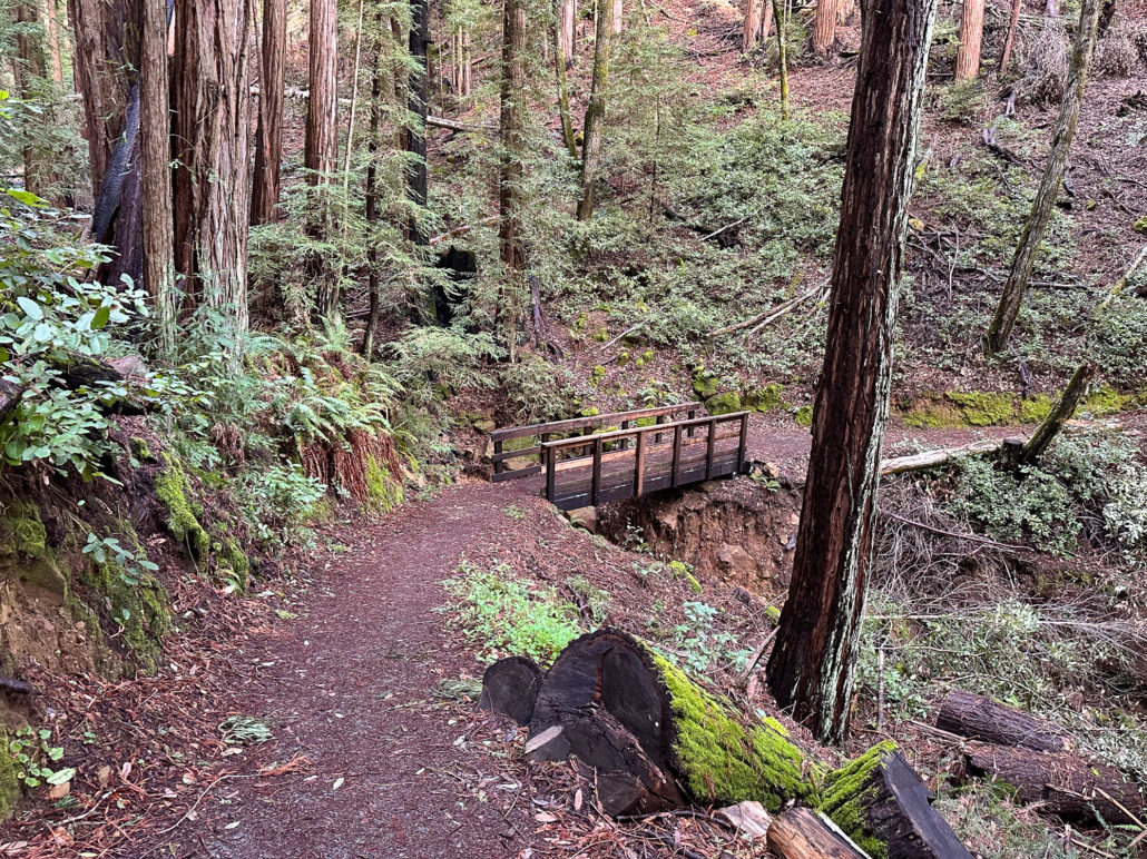
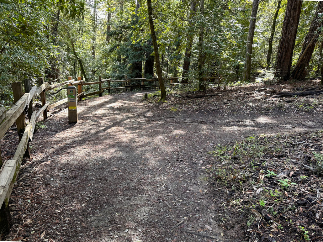
At 4.1 miles, follow a sharp switchback around Junction 14, staying on the Crystal Springs Trail. Up ahead are three wooden bridges over creeks. It is an especially picturesque spot, surrounded by Douglas fir and redwoods.

After crossing the third bridge, turn right at Junction 13, continuing east on the Crystal Springs Trail. The trail briefly travels along the creek and then climbs 100 feet over the next 0.3 miles out of the gulch. Fetid Adder’s Tongue, an early-season wildflower, peppers the hillsides, alongside oodles of redwood sorrel.

After your brief climb, turn right onto the Dean Trail, heading south. Back on the trail you started from, follow it back to Junction 19 and the Werder Picnic Shelter Area to close your loop.
Tags: creek, gulch, huddart park, Meadows, Mout Diablo, picnic areas, redwoods, San Francisco Bay, san mateo county park, Santa Cruz mountains, shade, wildflowers, woodside