Dailey Creek is a special hike.
A lot of the time, we hikers have a tendency to favor a destination-oriented approach. By this, I mean that we hike to get somewhere, whether it’s a peak, a waterfall, or a lake. There’s a certain expectation involved in finding a special spot to have an experience, even though we spend about 95-99% of our time either coming to or going from that destination.

So what happens when a hike doesn’t have a destination? What if it’s simply an excuse to do some walking in a beautiful outdoor environment with no particular destination in mind? Is the hike less worthy of our attention because we won’t have reached something noteworthy or monumental? Does the notion of the hike itself as the destination take away something from the act of hiking? Or does this approach actually add something to hiking that many people aren’t aware that they’re even missing?

As I’ve wracked up the miles and the destinations, I’ve found myself more and more often skipping the peak and avoiding the waterfall (Note: I never skip a lake because only a knucklehead would skip a lake). A lot of the time, I find myself simply wandering along a trail until I’m tired of wandering, and then I turn around. Other times, I craft ambitious circular routes that travel through places that I know to be beautiful in a general sense while lacking that specific highlight that most people expect. This puts the act of hiking, and even more specifically, the sensations I get from hiking at the front and center.

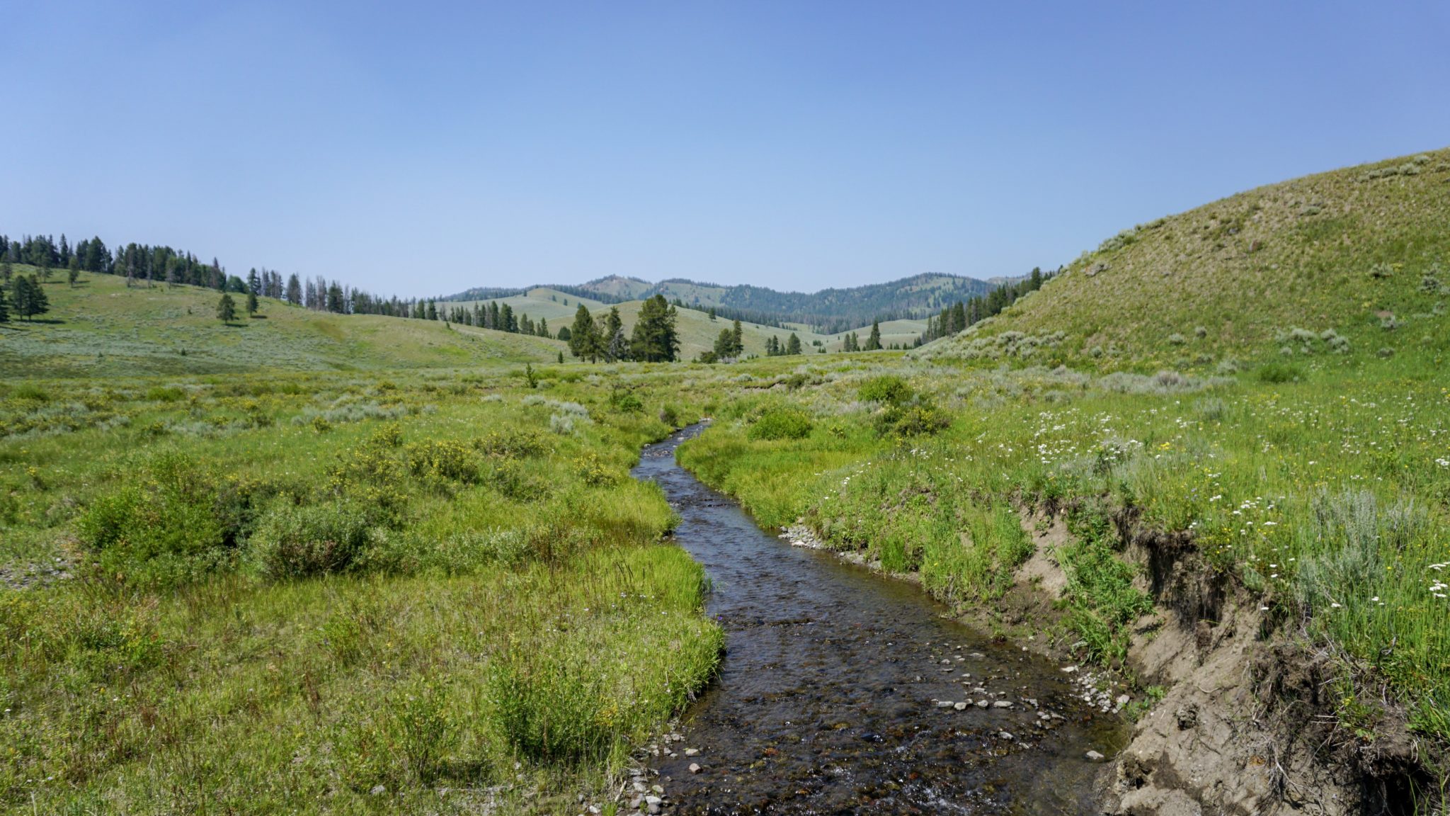
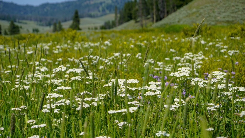
Perhaps this was why I enjoyed Dailey Creek in the Greater Yellowstone area so much. I only followed the first 2.7 miles of the trail, and I turned back at a junction. We don’t usually walk several miles to reach a junction sign, but that was as satisfying a turnaround spot as anywhere else on this route. The real highlight of the Dailey Creek Trail is the landscape it traverses. This is an absolutely gorgeous valley with broad grasslands peppered liberally with sagebrush and slightly less so with lodgepole pines. The creek meanders here and there, sometimes close to the trail and sometimes far. There’s shade on occasion. There are abundant wildflowers in season. Nothing surprising or unexpected happens. You just walk at an easy pace on an easy grade through a beautiful place. That’s it.

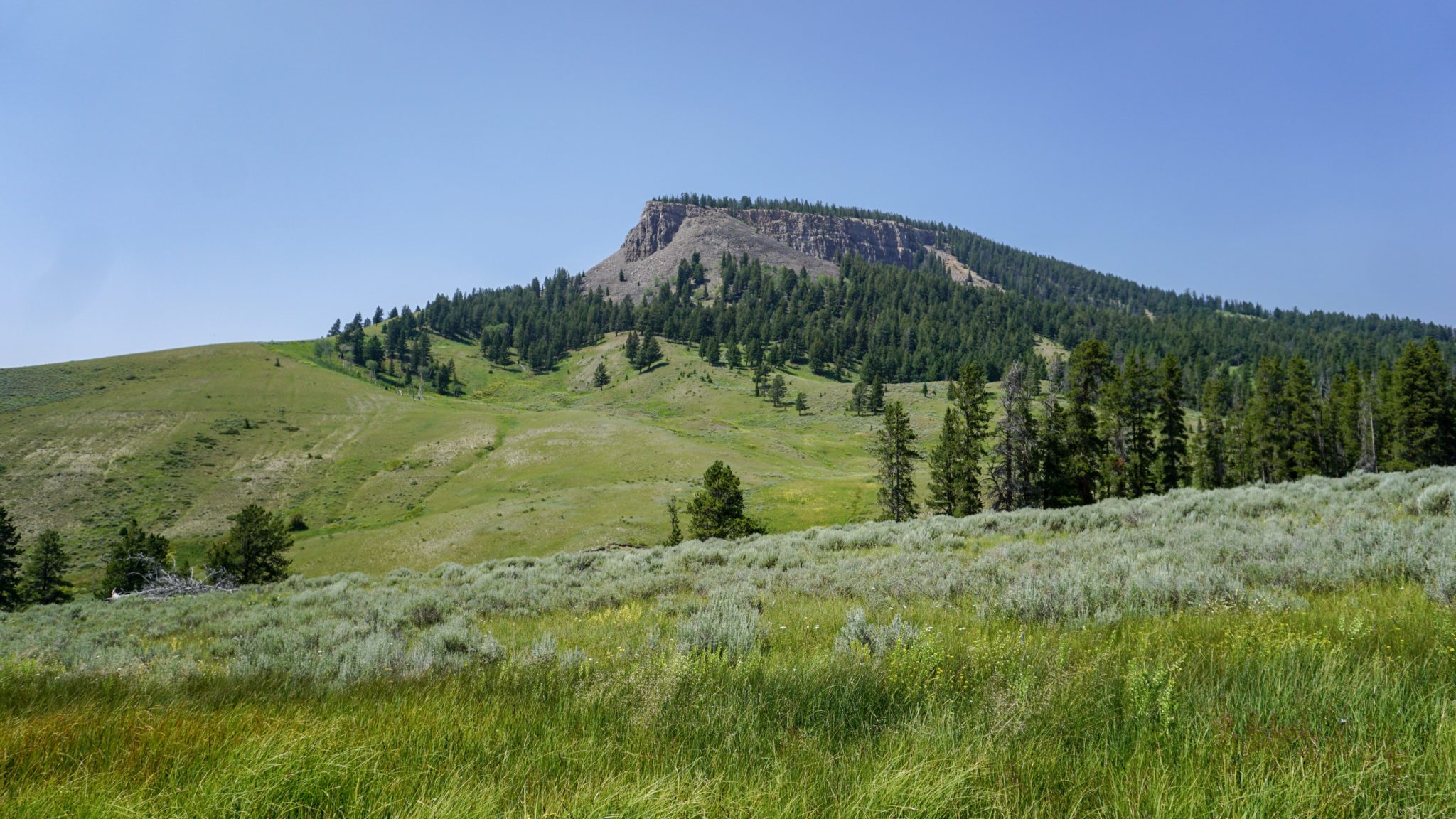
The route-finding is quite simple. Head north on the Dailey Creek Trail through a broad valley bounded by Crown Butte to the west and Lava Butte to the east. It may come as a surprise that this is the northernmost corner of Yellowstone National Park, and you won’t find that park’s usual highlights – bison, geysers, hot springs, and weird colors. In fact, the route has a lot more in common with the Gallatin National Forest, which features a lot of similarly grassy valleys laced with tributary creeks feeding the Gallatin River.

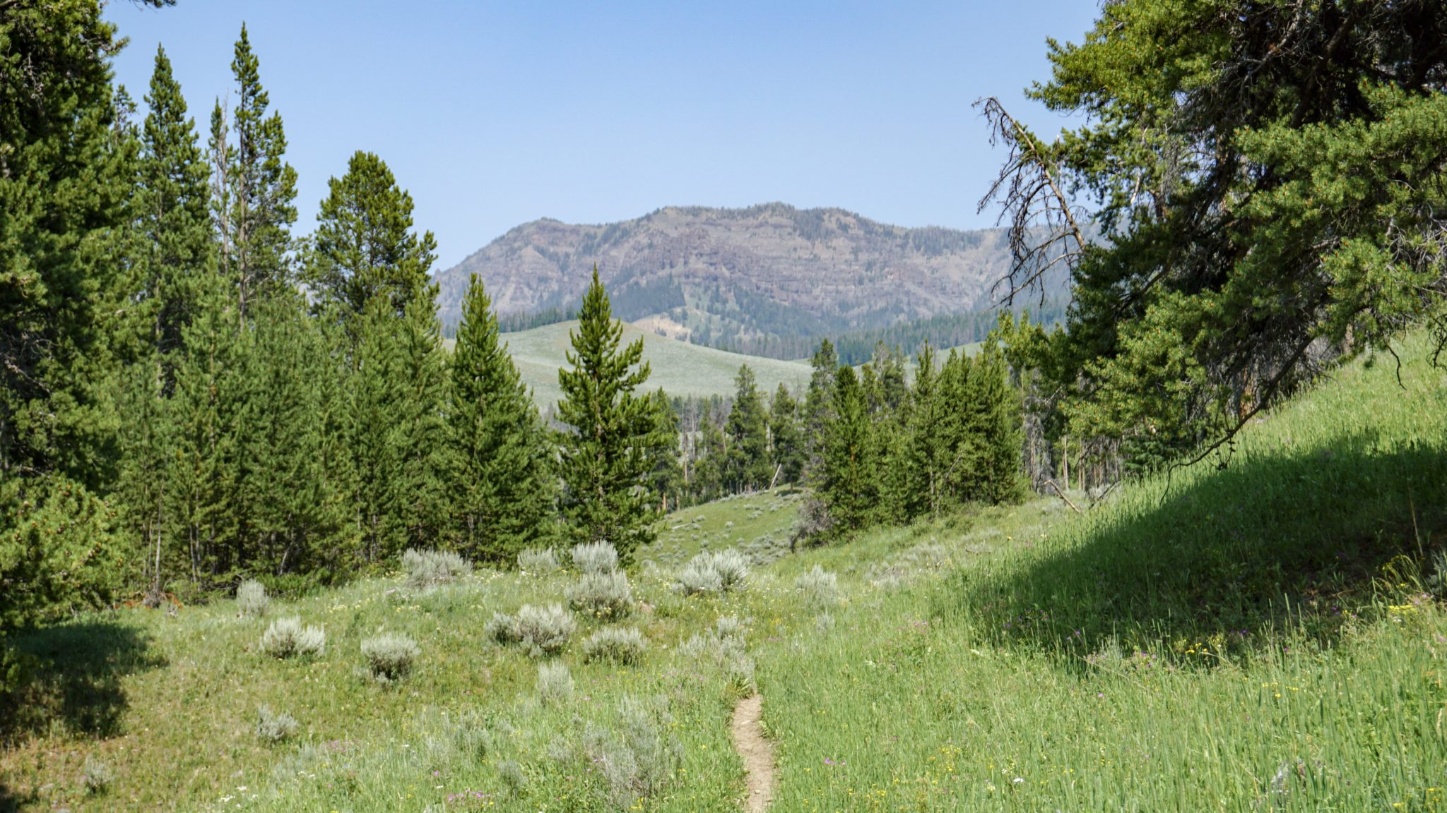
You cross Dailey Creek via wooden footbridge at 0.3 mile, and from there you climb a bit on the eastern bank of the creek. Around the 1.2 mile mark, the trail levels out before making a slight descent to the Black Butte-Dailey Creek Connector Trail at 1.8 miles. Theoretically, you could follow this trail east into Black Butte Canyon and explore the area south of King Butte, but then you’d have to dig in for a bit of climbing, and who wants to do that when the cool breezes blow, the green grass is rippling, and all you have on your agenda is some easy strolling?

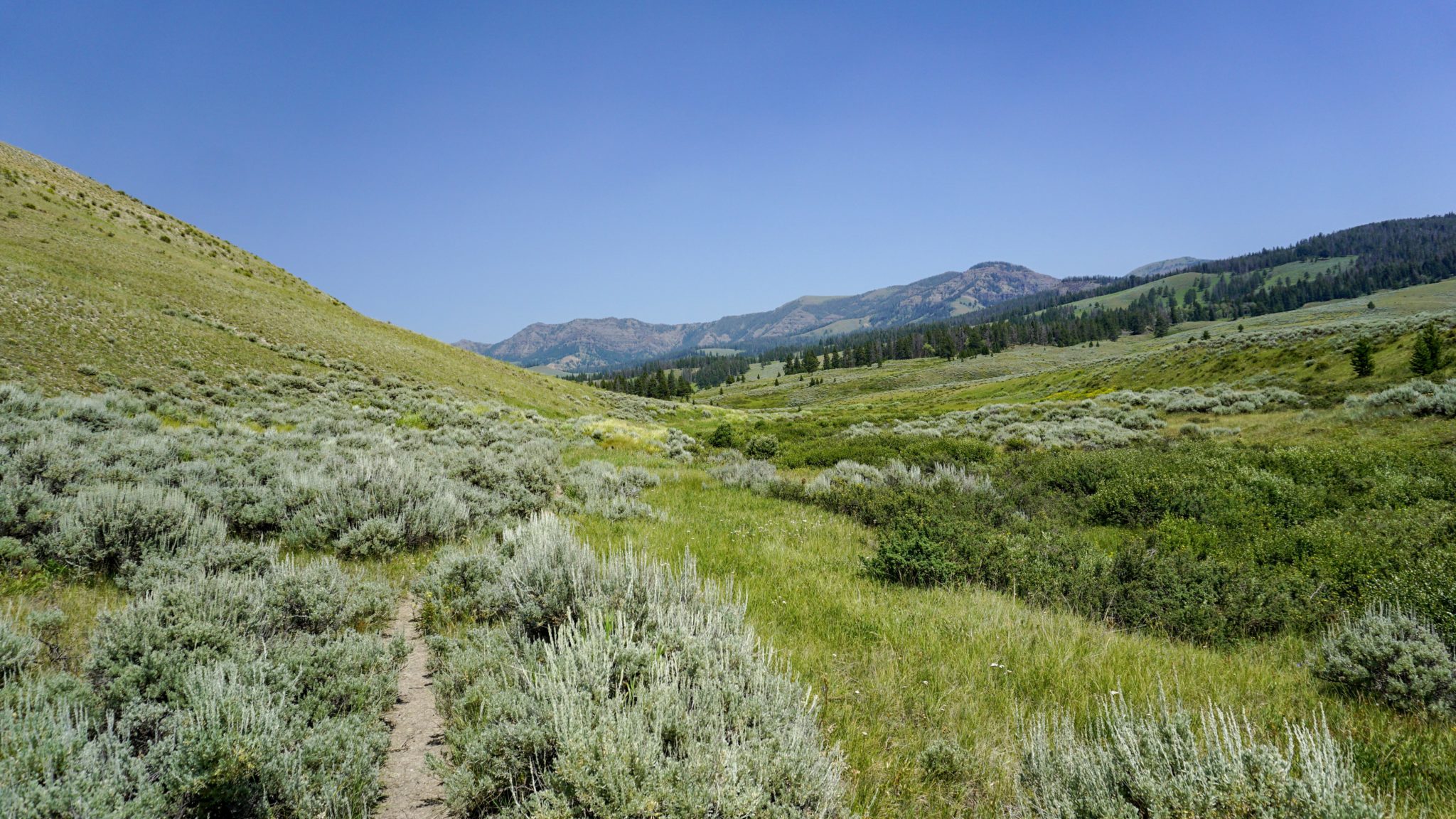
The trail continues in this fashion beyond the connector trail, and the only real dramatic change is that the trail hugs the banks of the creek. The creek now meanders in a much more drunken fashion through the gently sloping valley. At 2.7 miles, the trail reaches a spur trail that heads west over a ridge to connect to the Teepee Creek Trail in the Gallatin National Forest. This is the turnaround point that I’ve indicated here. However, you could proceed further along the trail to campsite WF2, which is the primary camping option along the Dailey Creek watershed. You’ll need to get permits to camp here, a process which I outline below:
After completing this application form, mail it, fax it, or submit it in person to Yellowstone’s Backcountry Office (P.O. Box 168, Yellowstone National Park, WY 82190, 307-344-2166 (fax)). You’ll receive a confirmation notice, which you will then convert to the actual permit when you pick it up from the backcountry office within 48 hours of your hike. The cost for processing a permit is $25, but you won’t be charged if your request is denied.
Tags: Black Butte, Crown Butte, Dailey Creek, Gallatin National Forest, Gallatin River, Lava Butte, Teepee Creek, yellowstone national park