Coastal Trail – Hill 88 Loop is a coastal hike northwest of the Golden Gate Bridge in the Marin Headlands, part of the Golden Gate National Recreation Area. This loop begins at dog-friendly Rodeo Beach, climbs steeply past Battery Townsley to a former Nike Missile Site, and descends on the Miwok Trail beside verdant Gerbode Valley. The combination of coastal air, Golden Gate views, military history, wildlife viewing, and spring wildflowers makes it one of the most engaging hikes in the Marin Headlands.
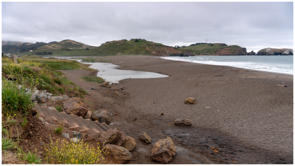
Rodeo Beach
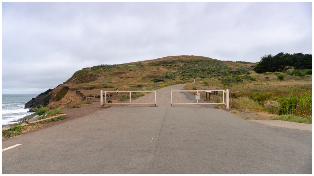
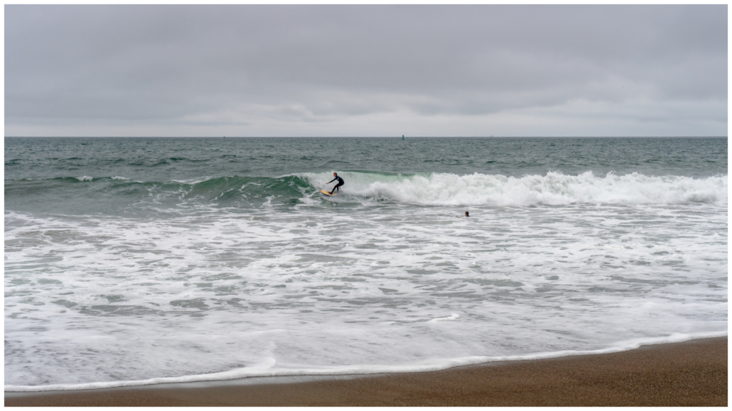
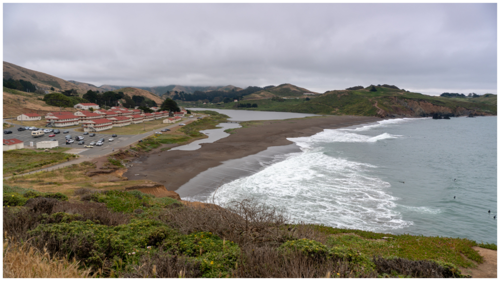
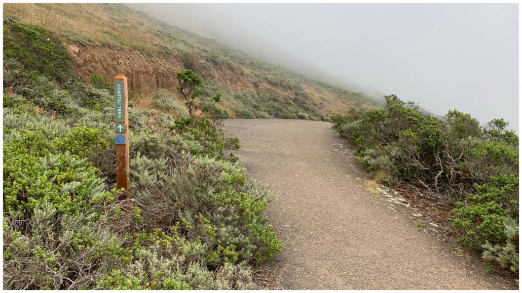
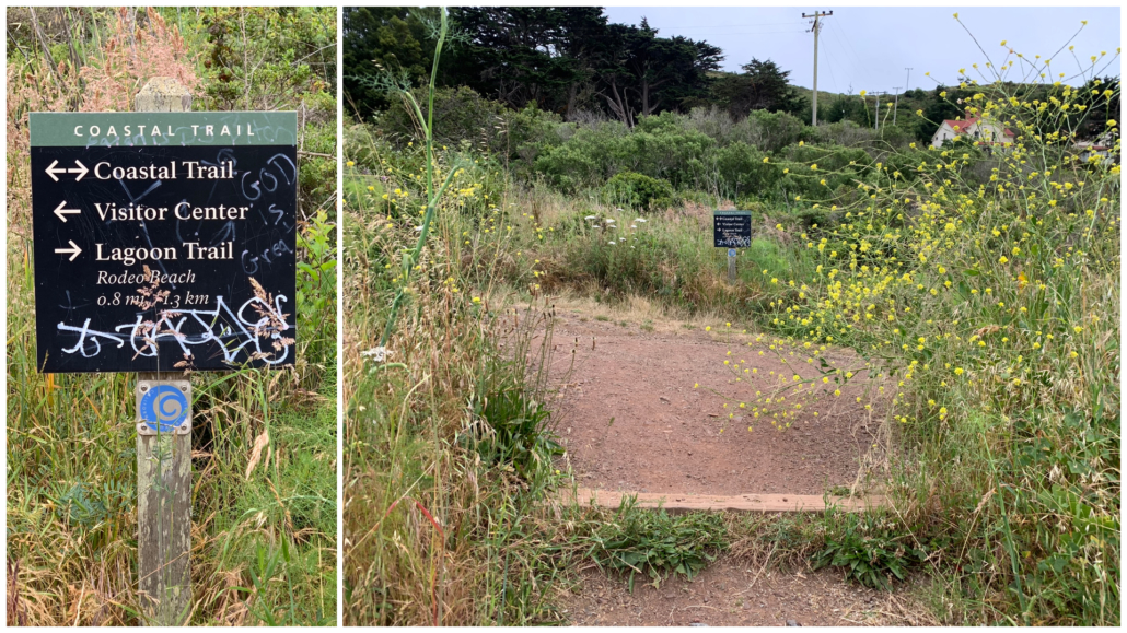
Begin your hike next to Rodeo Beach. Pass through the white gate at the end of Mitchell Road, hiking northwest up the road on the Coastal Trail towards Hill 88. From the trailhead, it’s fun to watch surfers in wet suits catching waves on the north side of beach. The “Rodeo” in Rodeo Beach and Rodeo Lagoon are a nod the headlands’ cattle ranching heritage in the early-mid 1800s, before dairy ranchers, the military, and the National Park Service arrived.
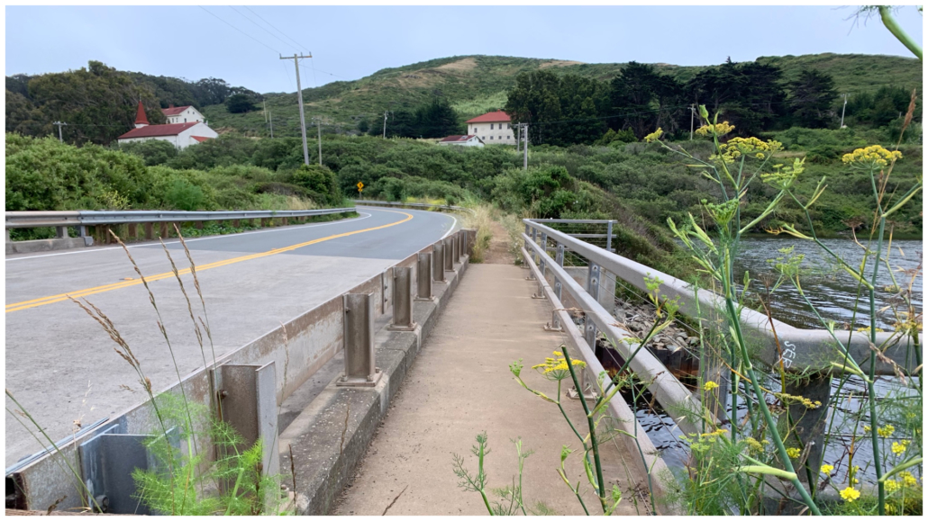
In 0.1 miles, bear left to follow the hiking route for the Coastal Trail. Wooden fences line the dirt path as it veers along the edge of the cliff above the ocean. The rows of red-roofed buildings you see below were former army barracks and recreation buildings at Fort Cronkhite, a military post completed in 1941. Soldiers here operated batteries during World War II and radar sites during the Cold War until 1974, when the military left and the post became part of the newly-formed Golden Gate National Recreation Area. Today, non-profit groups and National Park Service staff use the buildings.
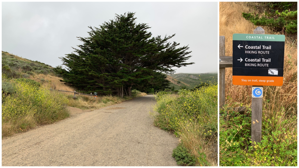
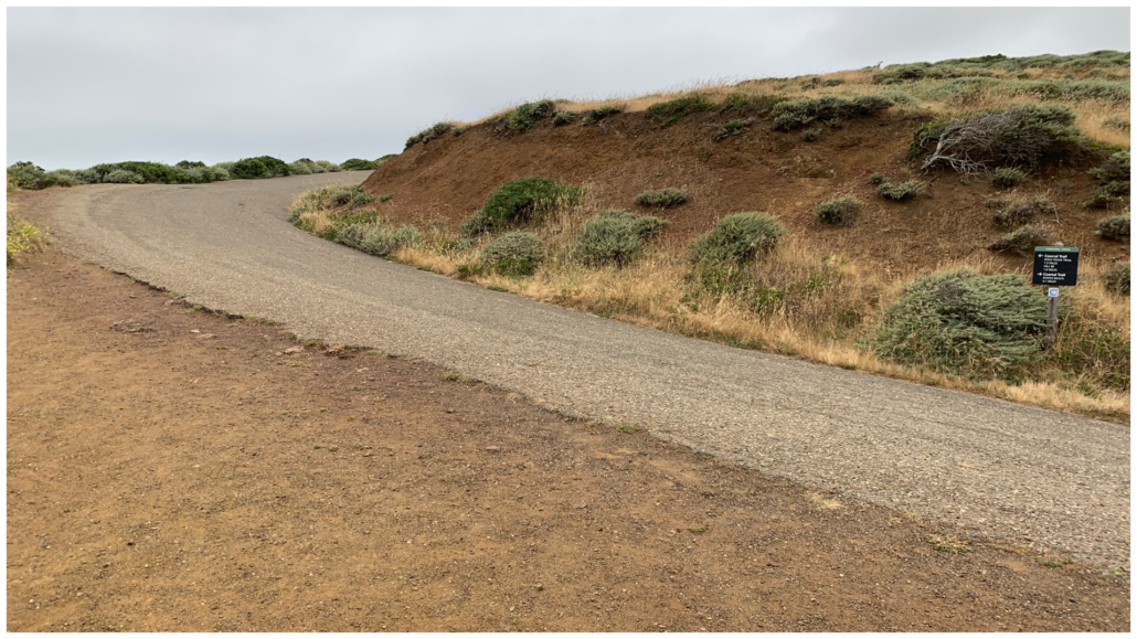
Continue following signs for the Coastal Trail towards Hill 88, rejoining the wide gravel road.
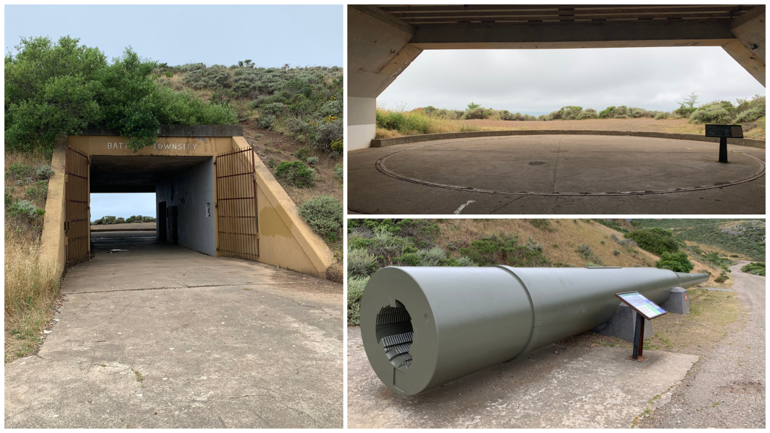
At 0.7 miles, arrive at Battery Townsley, built between 1938 and 1940 to protect the west coast during World War II. This concrete and steel structure housed powerful 16-inch caliber guns that shot projectiles 25 miles out to sea. Walk through the tunnel into the concrete casemate, noticing the scale and depth of the concrete room built to protect the soldiers from air and sea attacks. The photo below from the National Park Service’s website shows what a gun looked like in 1948 when it was mounted inside the casemate. For a more in-depth experience, you can take a tour of the battery’s interior the first Sunday of the month from 12:00 p.m. – 4:00 p.m.

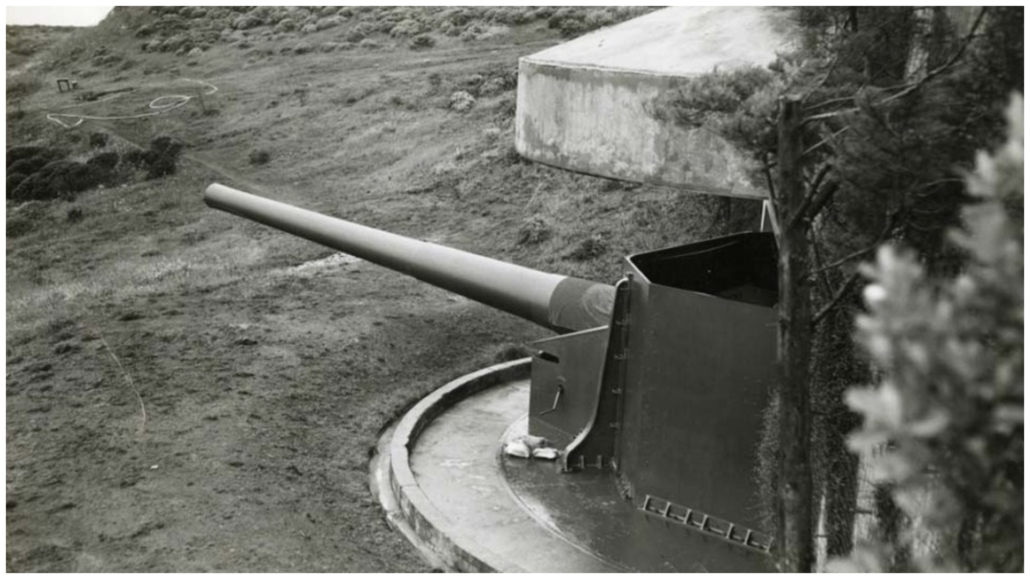
16-inch gun and radar at Battery Townsley, Fort Cronkhite. c1948. Golden Gate NRA, Park Archives, Battery Townsley 16-Inch Gun Photograph, GOGA 6034
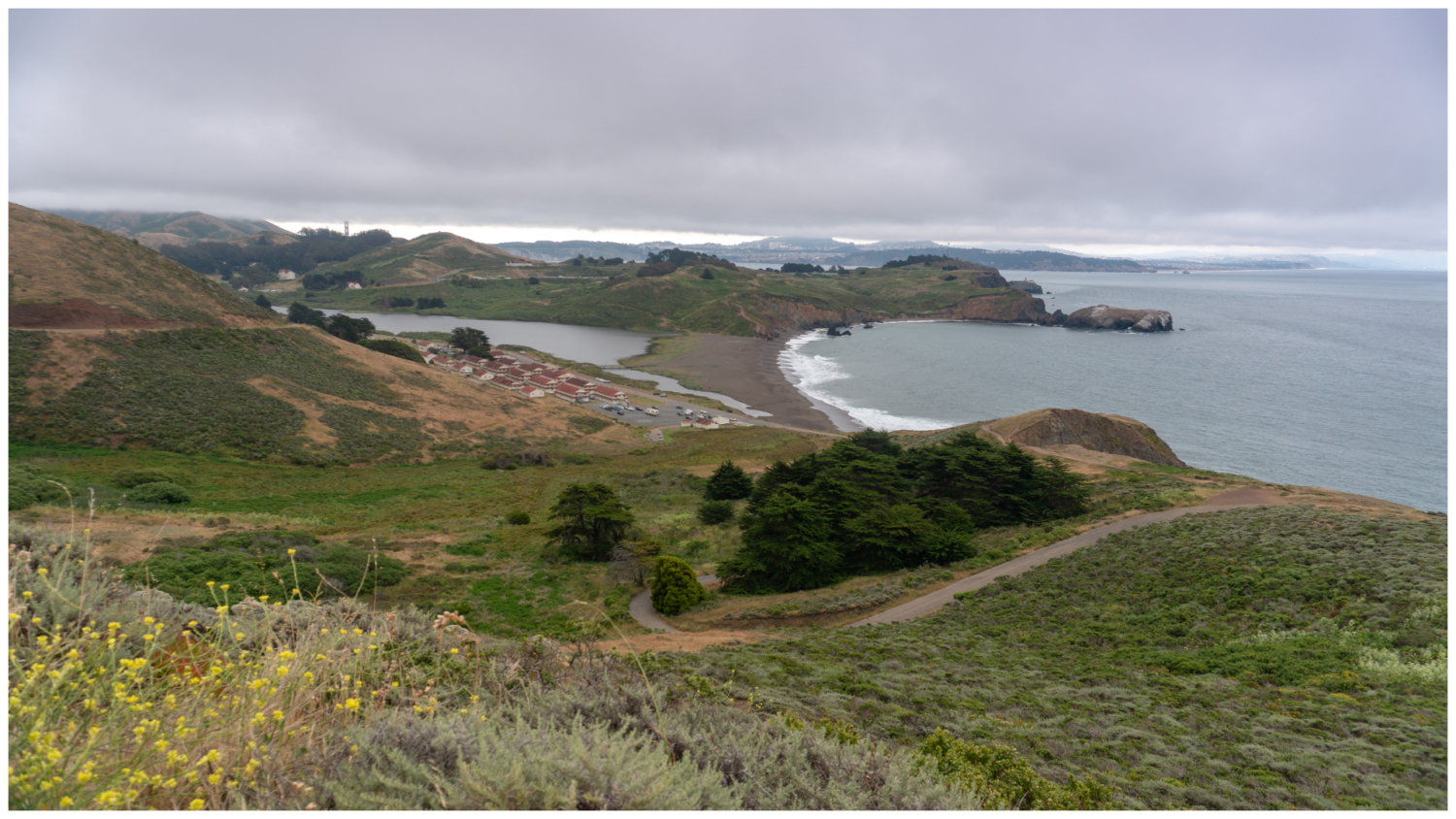
Past Battery Townsley, follow signs for the Coastal Trail through a patchwork of roads, dirt trails, and staircases, continuing north towards Hill 88. It feels eerie hiking this stretch up to Hill 88, as if you are hiking through an abandoned ghost town. As you climb higher along the headlands, you can see Twin Peaks, Mount Davidson, and San Bruno Mountain to the south across the Golden Gate.

Beautiful views of Rodeo Lagoon, Rodeo, Beach, Fort Cronkhite, and the Pacific Ocean as you climb.
At 1.3 miles, arrive at a junction with vandalized fortifications on your left. Although it feels counter-intuitive, turn right to hike downhill, continuing on the Coastal Trail. The incline picks up again as you make your way towards Hill 88.
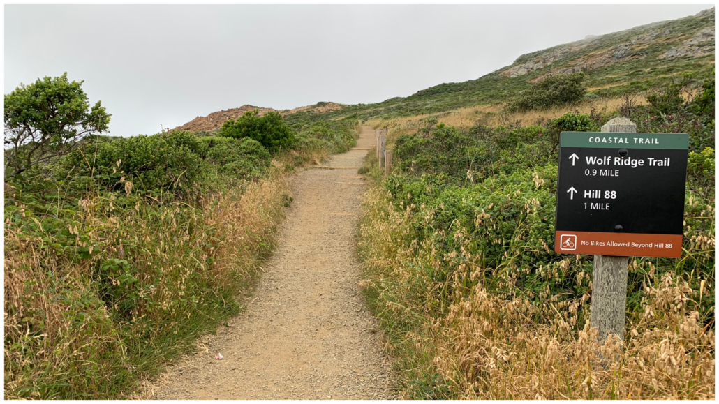
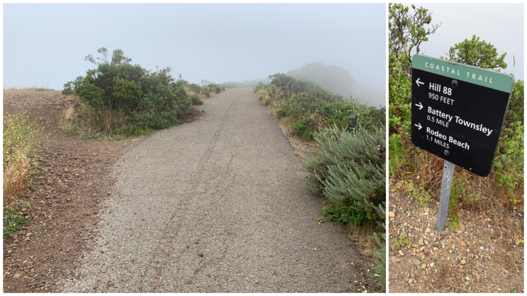
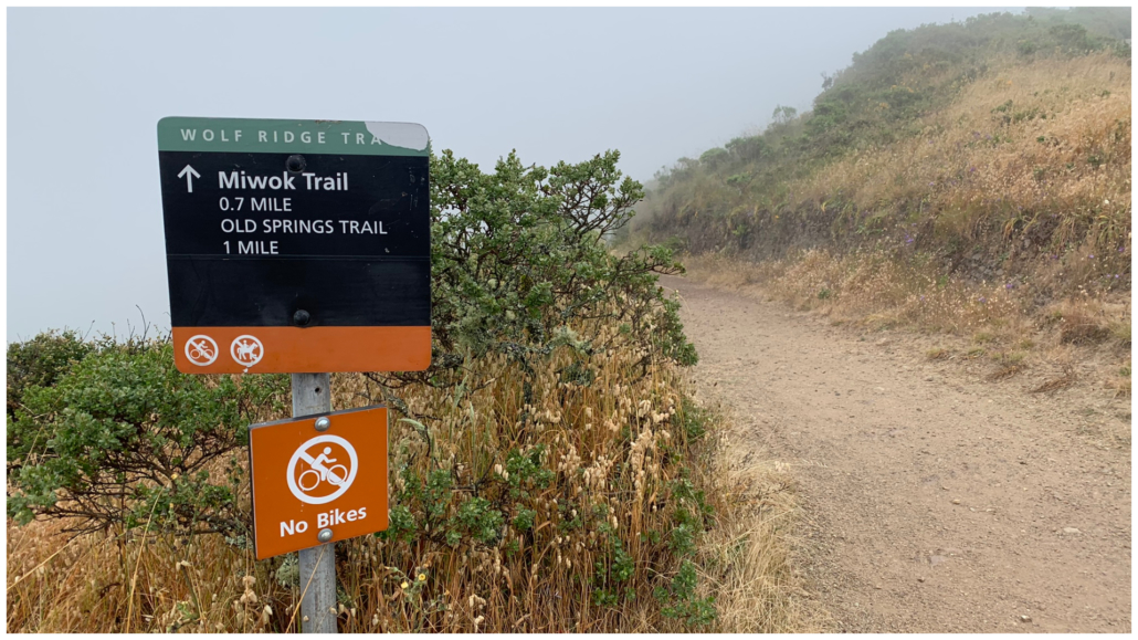
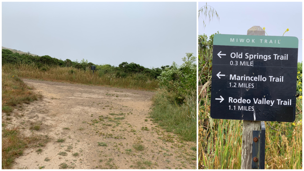
In another 0.6 miles, arrive at a junction with Wolf Ridge Trail on your left. Make a mental bookmark; you will return here after visiting Hill 88 to continue the loop. For now, stay straight for 950 feet to Hill 88.
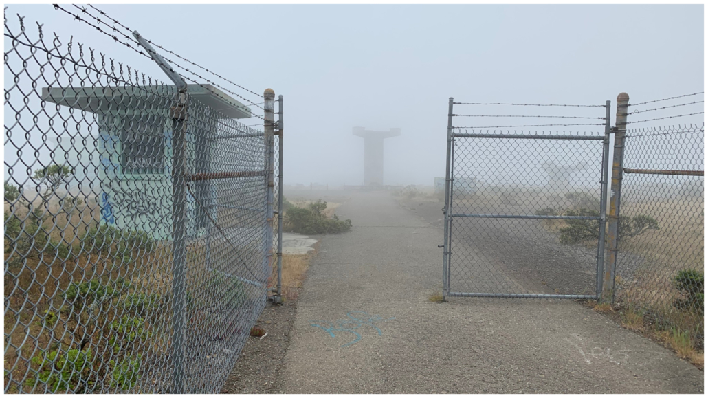
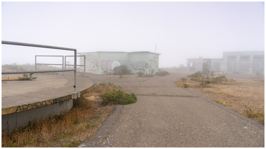
Arrive at Hill 88 at the 2.1-mile mark. The ghost town vibe is especially strong here, with empty, vandalized buildings and radar pedestals eerily surrounded by a wire fence. Although it was cloudy the day I visited, on clear days you have stellar views of the Marin Headlands, Rodeo Beach, Rodeo Lagoon, the Pacific Ocean, and Mount Tamalpais to the north. A photo below from the National Park Service’s website shows what the site looked like with radar domes in 1961. You can see the access road, the guard station, radar pedestal, buildings, and a helicopter pad match what remains today.
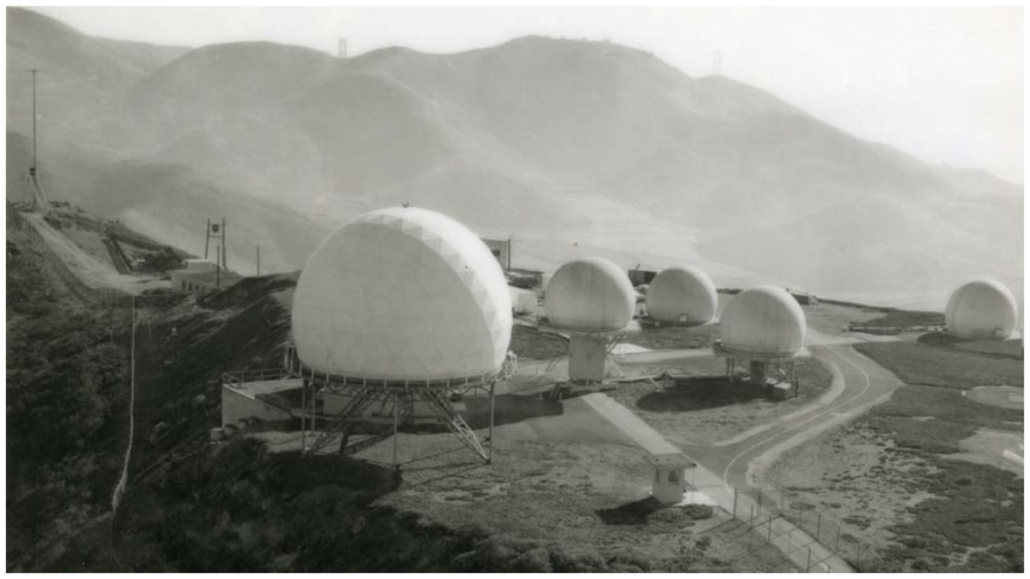
“Hill 88 radar control for Nike missile base at Fort Cronkhite,” 1961. Golden Gate NRA, Park Archives, Western US Nike Photo Collection, GOGA 18516.001
This whole area was Nike Missile Site 88C, a radar site that detected enemy aircraft and controlled missiles at Fort Barry during the Cold War. The “C” in 88C stands for control, one of three components of a Nike missile site in addition to launch (88L) and administration (88A). While site 88C was located on Wolf Ridge, sites 88L and 88A were located at Fort Barry, south of Rodeo Lagoon. Ultimately, the Nike sites were shut down by the time the military left the Marin Headlands in 1974. Since then, volunteers have restored the launch site and it is now a Cold War museum open on Saturdays between 12:30 p.m. and 3:30 p.m. A fun piece of trivia: the trash compactor sounds in Star Wars Episode IV: A New Hope are a recording of Site 88L’s bay doors opening and closing!
When ready, retrace your steps to the Wolf Ridge Trail, hiking northeast on the undulating single-track. To your left is Tennessee Valley and along the trail are abundant wildflowers in spring. From the late 1800’s until the mid-1900s, immigrants from the Azores, an archipelago near Portugal, ran small dairy ranches in Tennessee Valley.
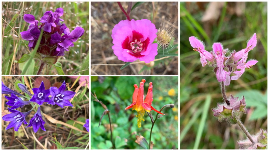
Colorful wildflowers grow on the north side of Wolf Ridge in spring.
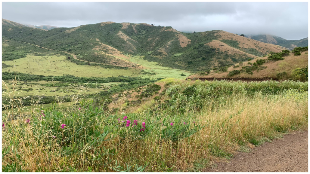
At 3.1 miles, turn right onto the Miwok Trail, descending south on the wide dirt road towards the Rodeo Valley Trail. Gerbode Valley unfurls to the east and across the valley floor, you can see the Bobcat Trail running through it. Pretty pink sweet pea grows in the grass beside the trail.
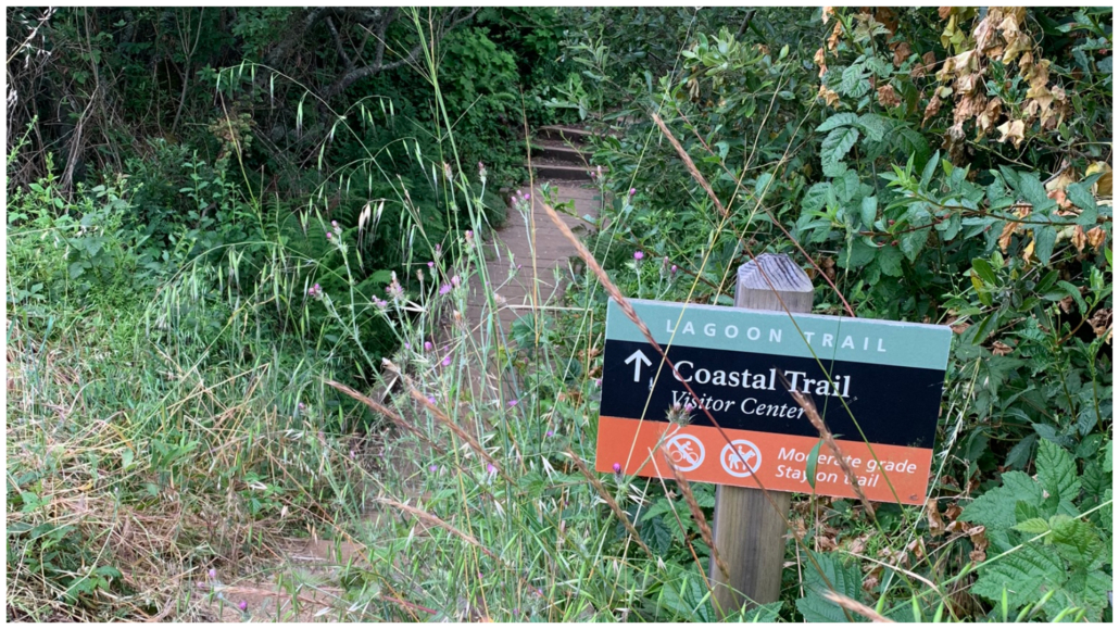
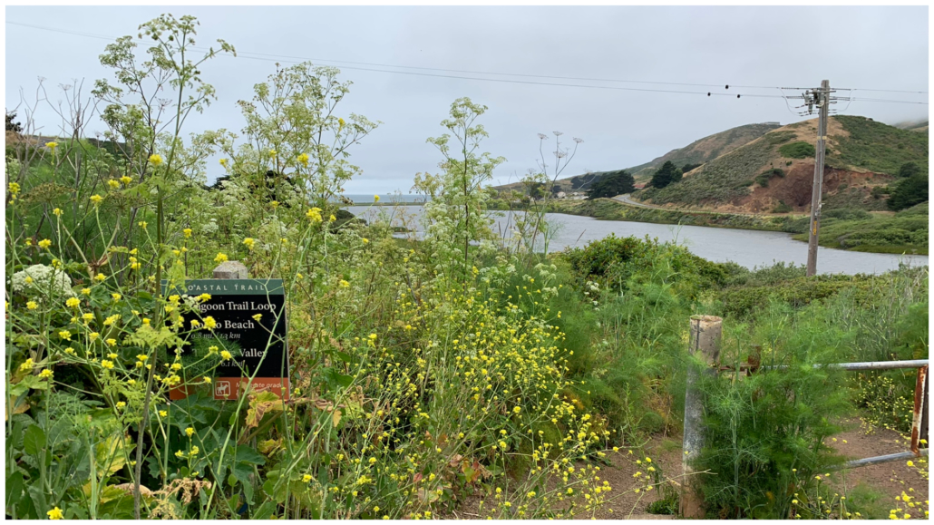
At 4.8 miles, arrive at the end of the Miwok Trail on the northeastern side of Rodeo Lagoon. Cross Bunker Road and then turn left onto the Lagoon Trail, hiking along the lagoon’s eastern edge towards the Visitor Center. The Lagoon Trail is a 1.5 mile loop that encircles Rodeo Lagoon, and for a time the Coastal Trail overlaps with it. In just over 500 feet, bear right towards the Visitor Center.

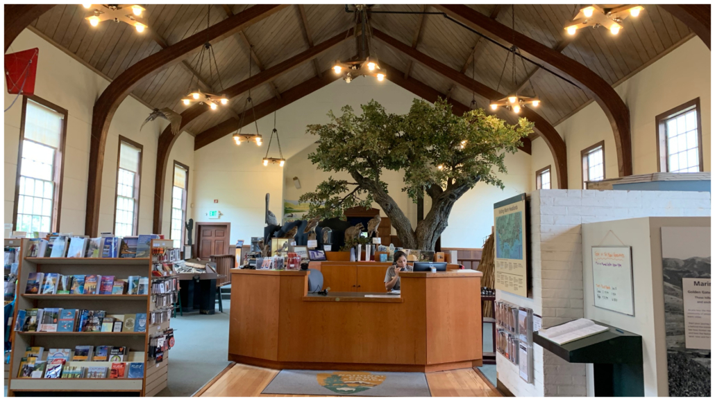
After your brief jaunt along the lagoon, arrive at a sign for the Coastal Trail. Turn left and take a short detour to the Marin Headlands Visitor Center, located inside the historic Fort Barry Chapel. Built in 1941, the chapel was designed to support soldiers of different faiths during World War II. It had a movable alter and cabinet for Hebrew scrolls, among other features. Inside the nave, curved wooden beams arch like a rib cage over books, postcards, exhibits, maps, and souvenirs for purchase.
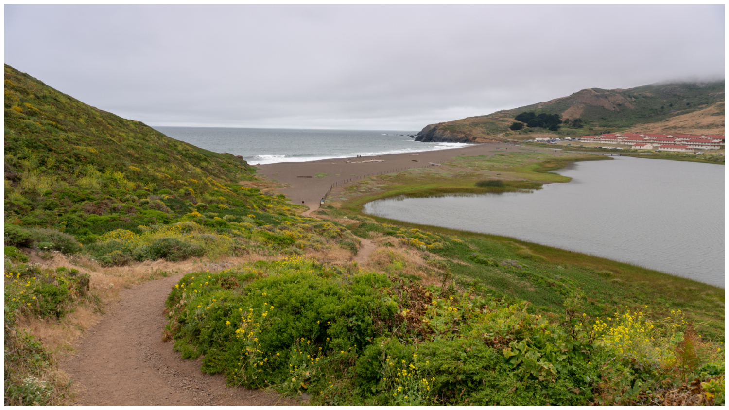
When ready, retrace your steps to the Coastal Trail, heading west towards Rodeo Beach. The trail gently climbs past Cypress trees, with peek-a-boo views of the lagoon. In summer you might see egrets and great blue herons. Mallards, buffleheads, and pied-billed grebes are common in fall, winter, and spring. A surprising vista spans the lagoon, Fort Cronkhite, and the Pacific as you descend to Rodeo Beach.

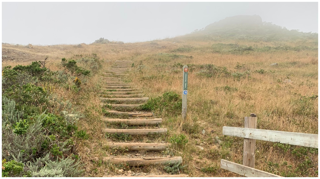
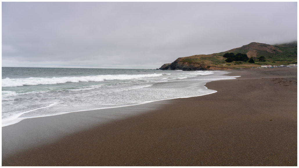
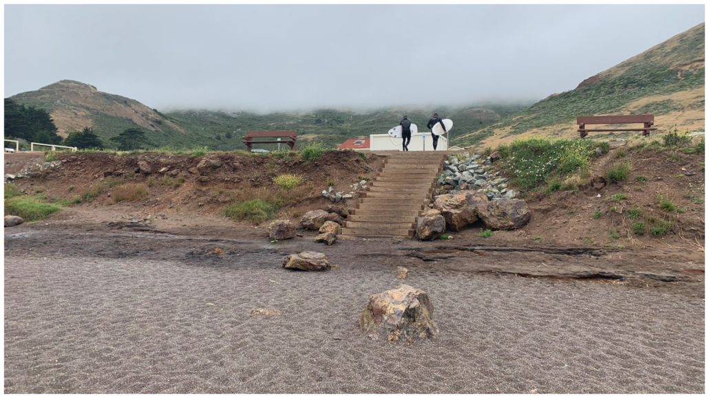
Arrive at Rodeo Beach at 5.7 miles and turn right, hiking north along the shore. Swimming is discouraged at Rodeo Beach due to the strong surf and sneaker waves, but the views are still spectacular. The bluffs of the Marin Headlands rise to the north and south, with Rodeo Lagoon directly east. Bird rock is to the southwest, a prime spot for spotting brown pelicans. Finish your loop on the north side of the beach, climbing up the wooden stairs back to your starting point on Mitchell Road.
Notes:
- Parking is free and there is no entrance fee.
- The Golden Gate National Recreation Area is accessible 24/7 in most areas. Parking lots are generally open from sunrise to sunset.
- There are restrooms in the Fort Cronkhite parking lot and the Marin Headlands Visitor Center parking lot.
- Leashed dogs are allowed on this loop and on Rodeo Beach. Dogs are not allowed in Rodeo Lagoon.
- A Marin Headlands map is available here on the Golden Gate National Recreation Area web page.
- The Marin Headlands Visitor Center is open every day except Tuesdays, 9:30 a.m. – 4:30 p.m. It is closed on Thanksgiving, Christmas Day, and New Year’s Day.
Tags: Golden Gate National Recreation Area, Marin Headlands, North Bay, Pacific Ocean, Rodeo Beach, San Francisco Bay Area, wildflowers