***This trail was affected by the 2017 Thomas Fire and is currently closed. Please contact the Los Padres National Forest for further updates and information. ***
The Chorro Grande Trail climbs gradually uphill through the low lying scrub bushes of the Sespe Wilderness to reach a pine tree covered ridge overlooking the Pacific Ocean and the Channel Islands. Be prepared for lots of sun and incredible views on this relentless climb.
Chorro Grande translates to “big stream.” The translation indicates that, at one time, the water coming down this hillside was quite impressive. Unfortunately however, the stream that inspired the trail’s namesake is dry most of the year. During the winter though, the higher reaches of the trail will actually get some snow — so depending on our winter precipitation you might actually be able to catch that big rush during the springtime.
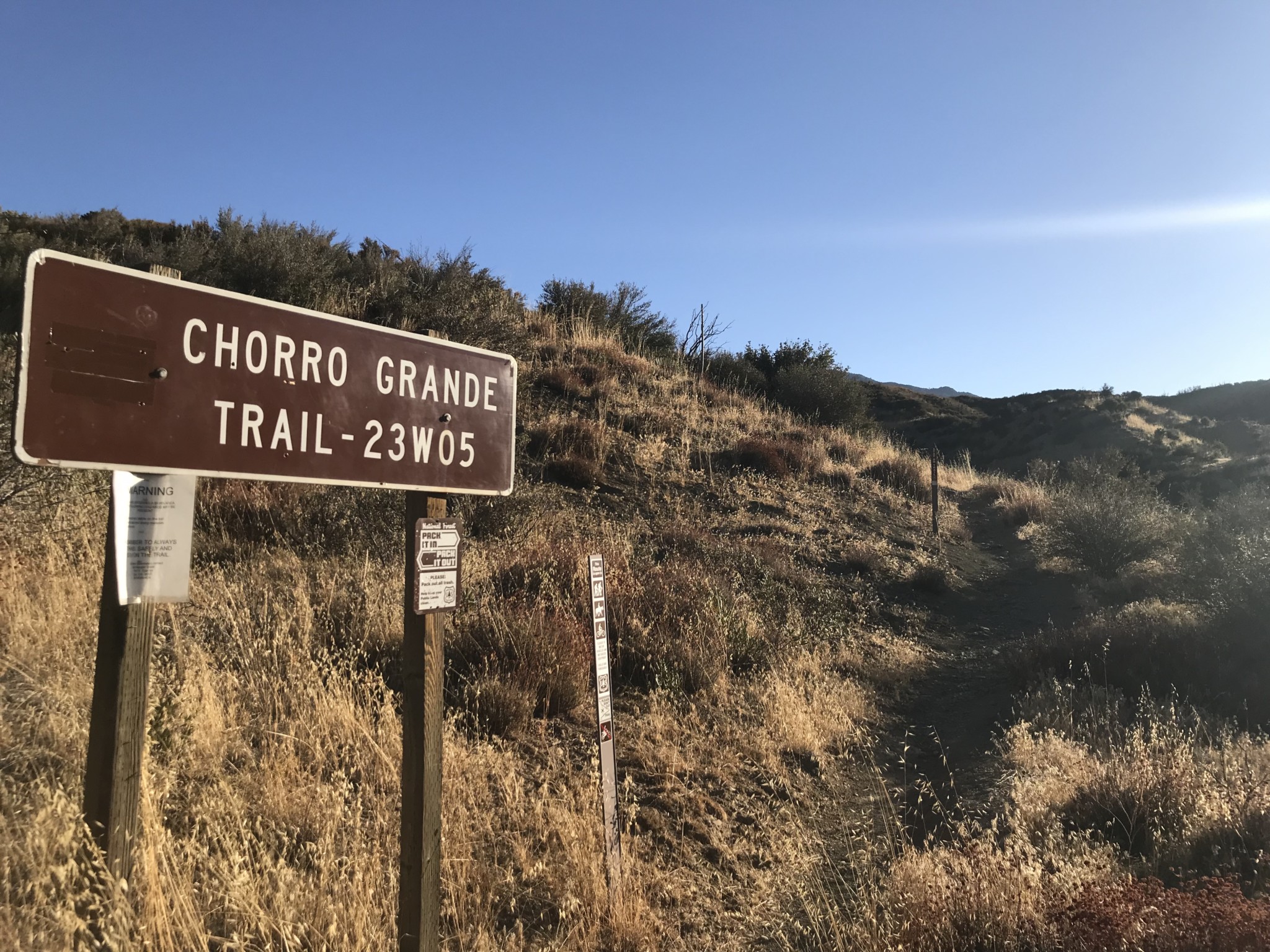
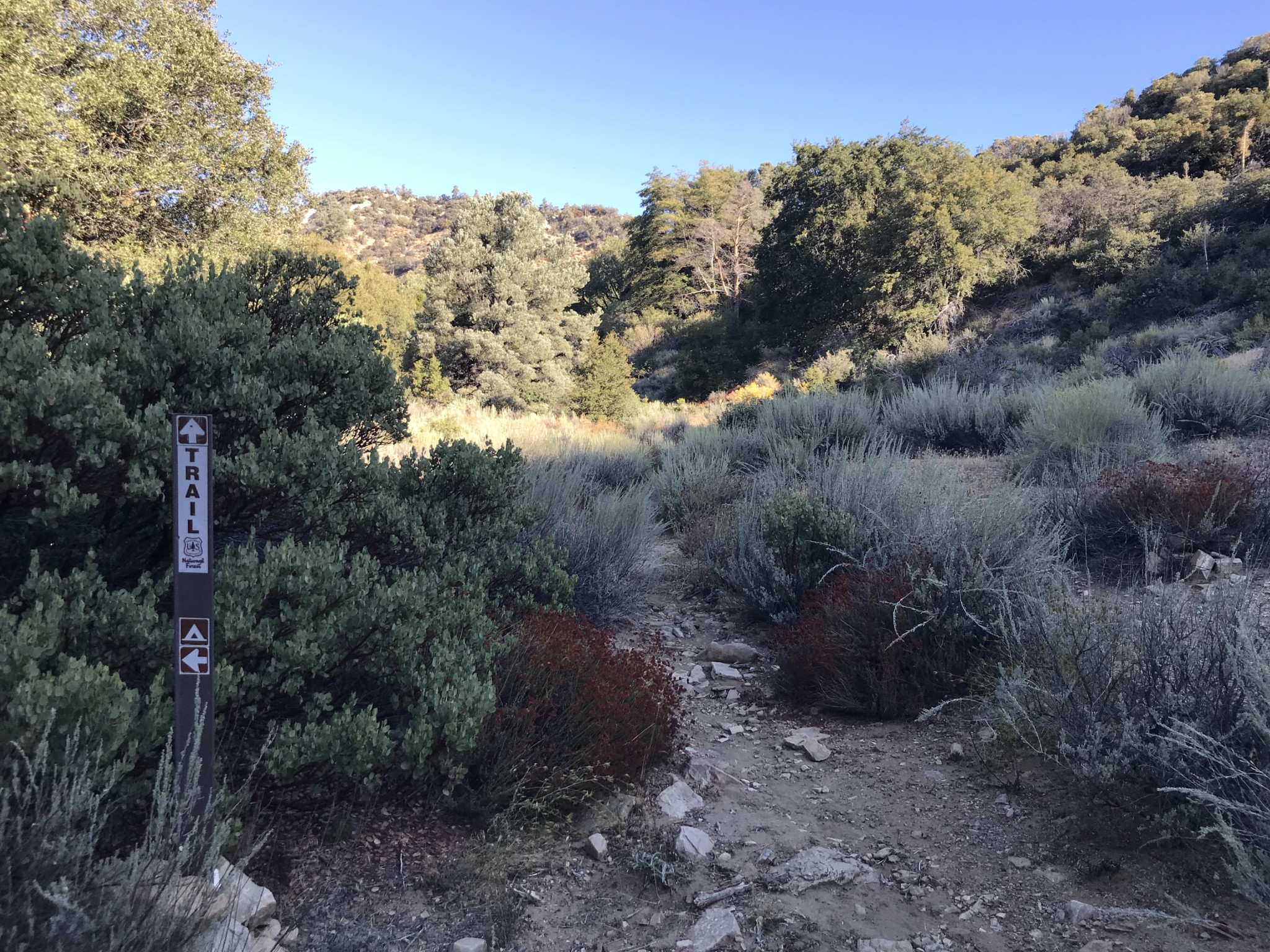
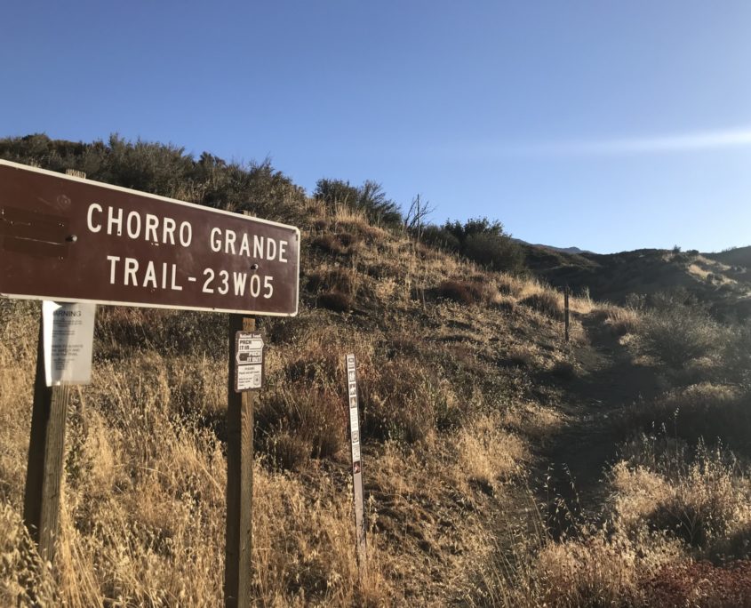
The trailhead lies off the 33 highway north of Ojai. The sign can be difficult to find at first but if you drive slowly you will see it on the right hand side of the road, about 11 miles after Rose Valley Road. Park in the dirt lot on the left side of the highway and cross the highway carefully to reach the trailhead. Be sure to display your Adventure Pass.
Trailhead
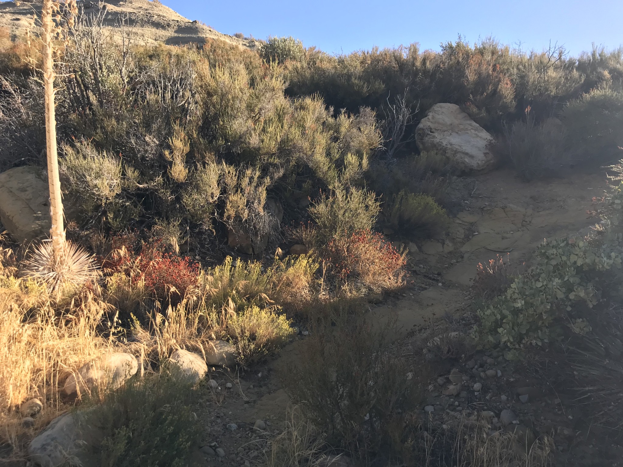
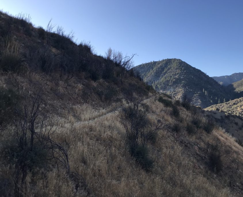
The trail winds slowly from the highway through knee-high grass. This is a good trail to wear long pants on due to the overgrowth of vegetation (and springtime ticks). It is advised to not hike this trail during the summer due to the heat and the potential for rattlesnakes.
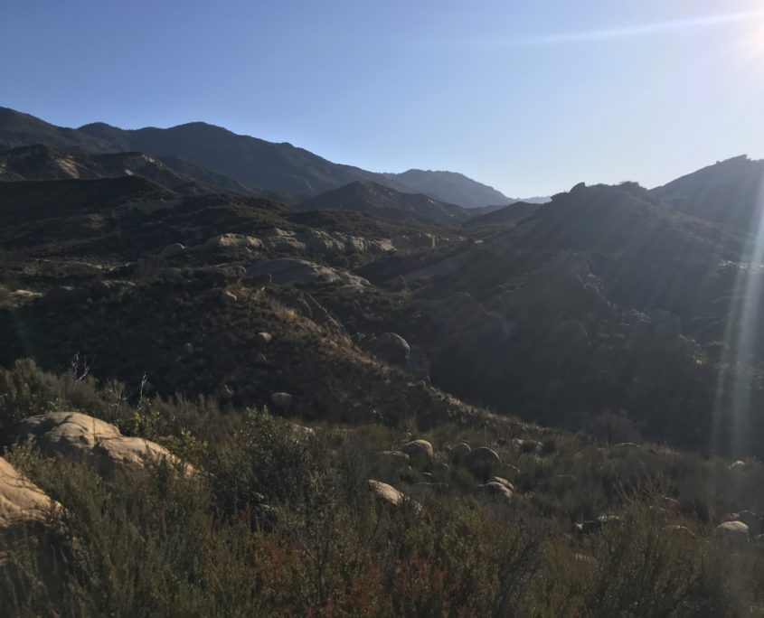
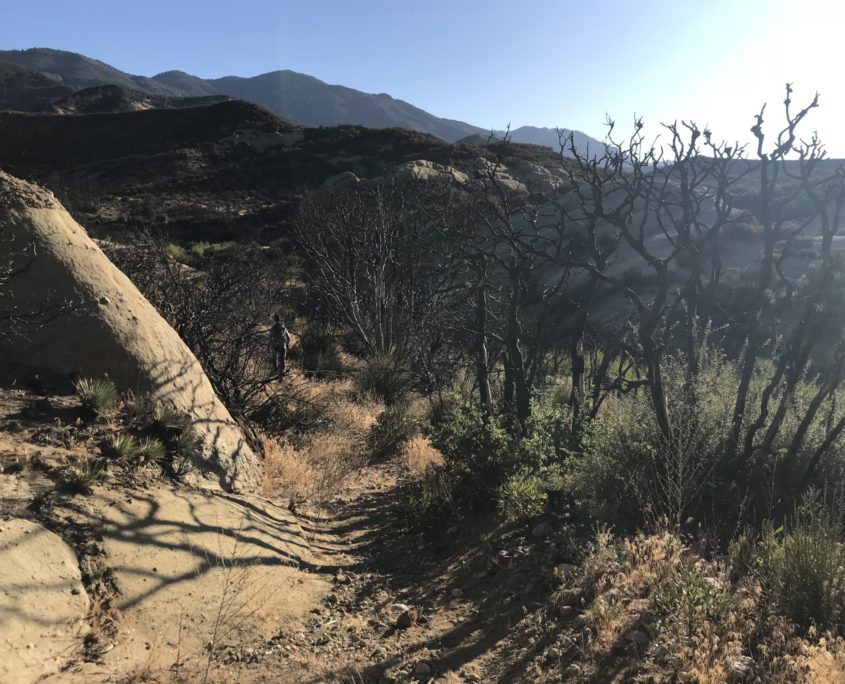
Soon you will start to see some white rock formations to your right which are characteristic of the area. One of the larger formations in the area, Piedra Blanca, lies south of this trail off Rose Valley Road, which you will have passed on your way up Highway 33.
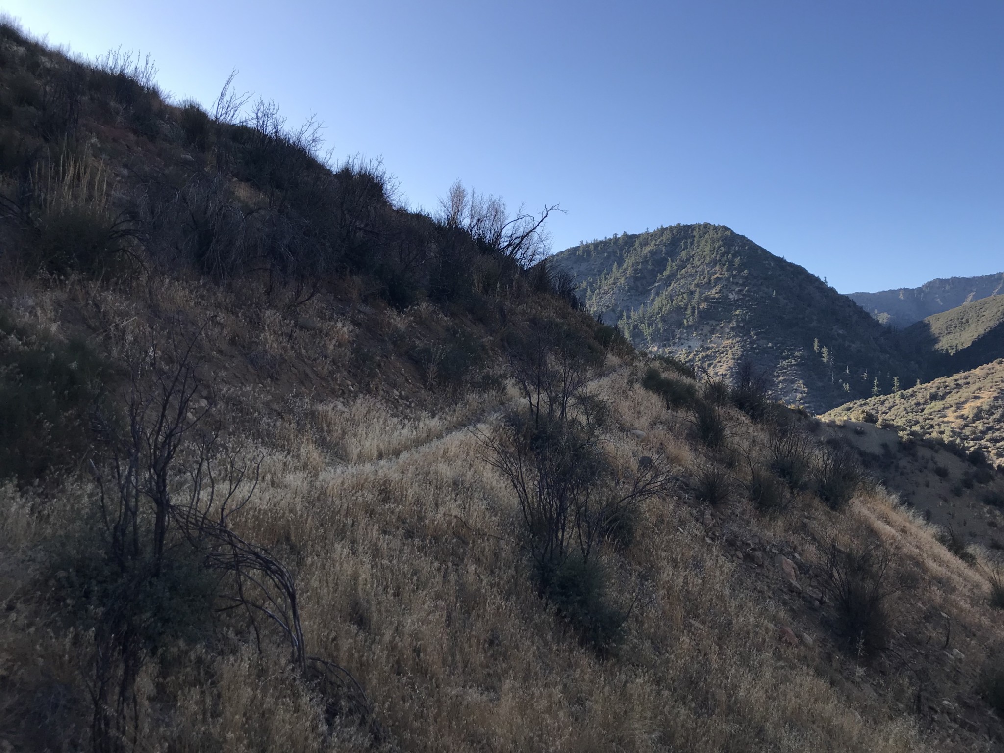
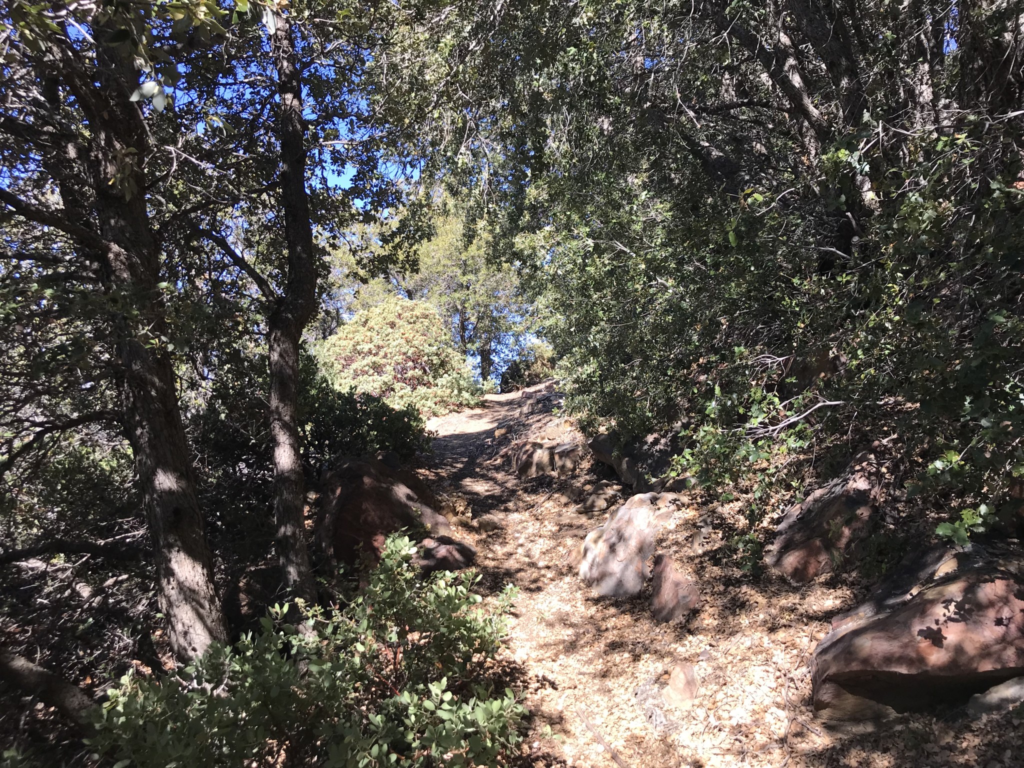
The first 2 miles of this trail are part of a recovering burn area. The fire, in combination with rains the following year, have made the area around the river bed susceptible to erosion. Definitely watch your step and stay on the trail.
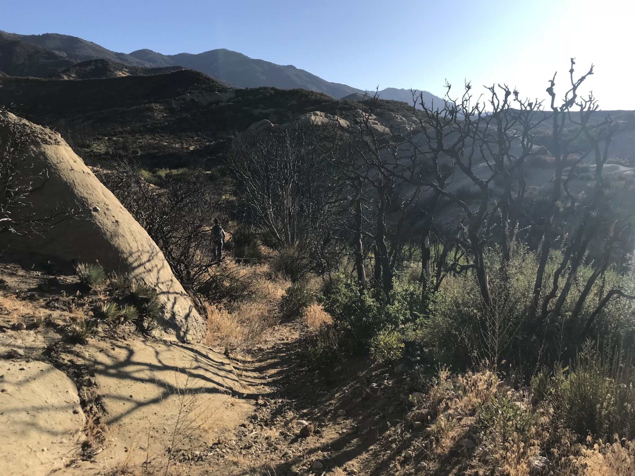
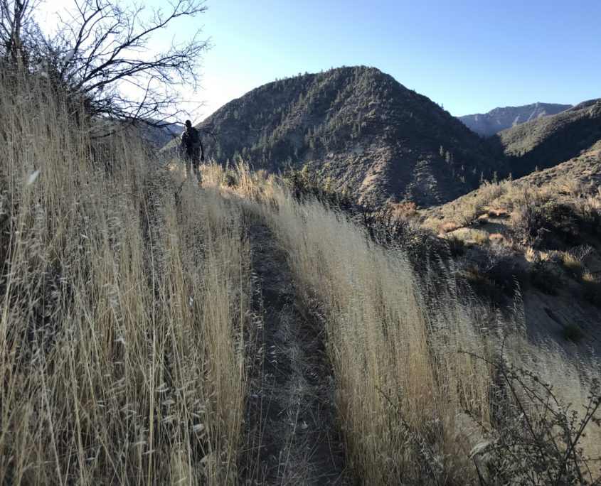
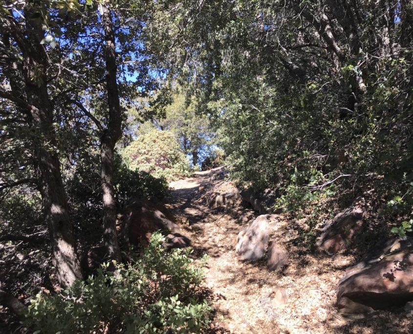
The trail is still distinguishable here; however, the grasses and bushes are a bit overgrown as you make your way to Oak Camp at mile 2.
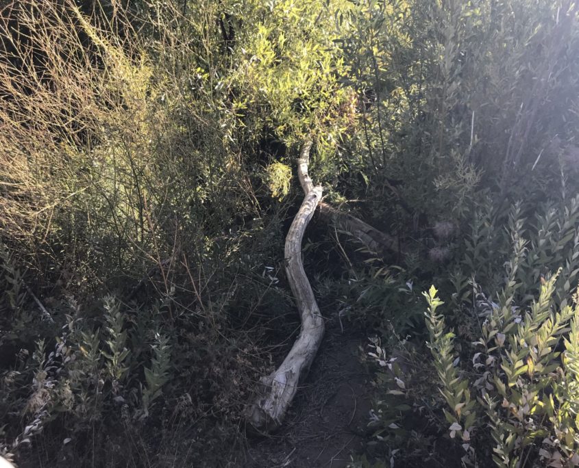
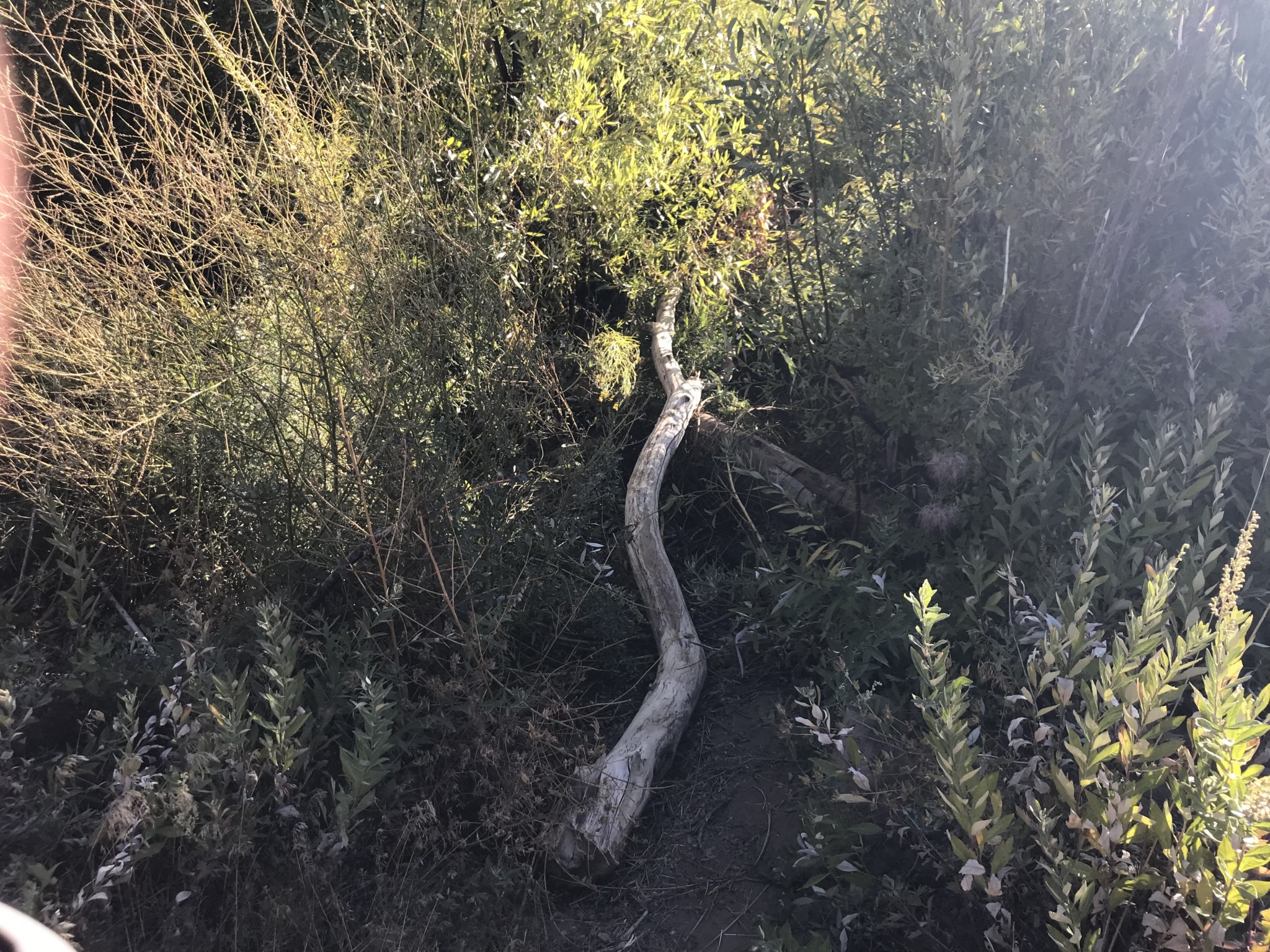
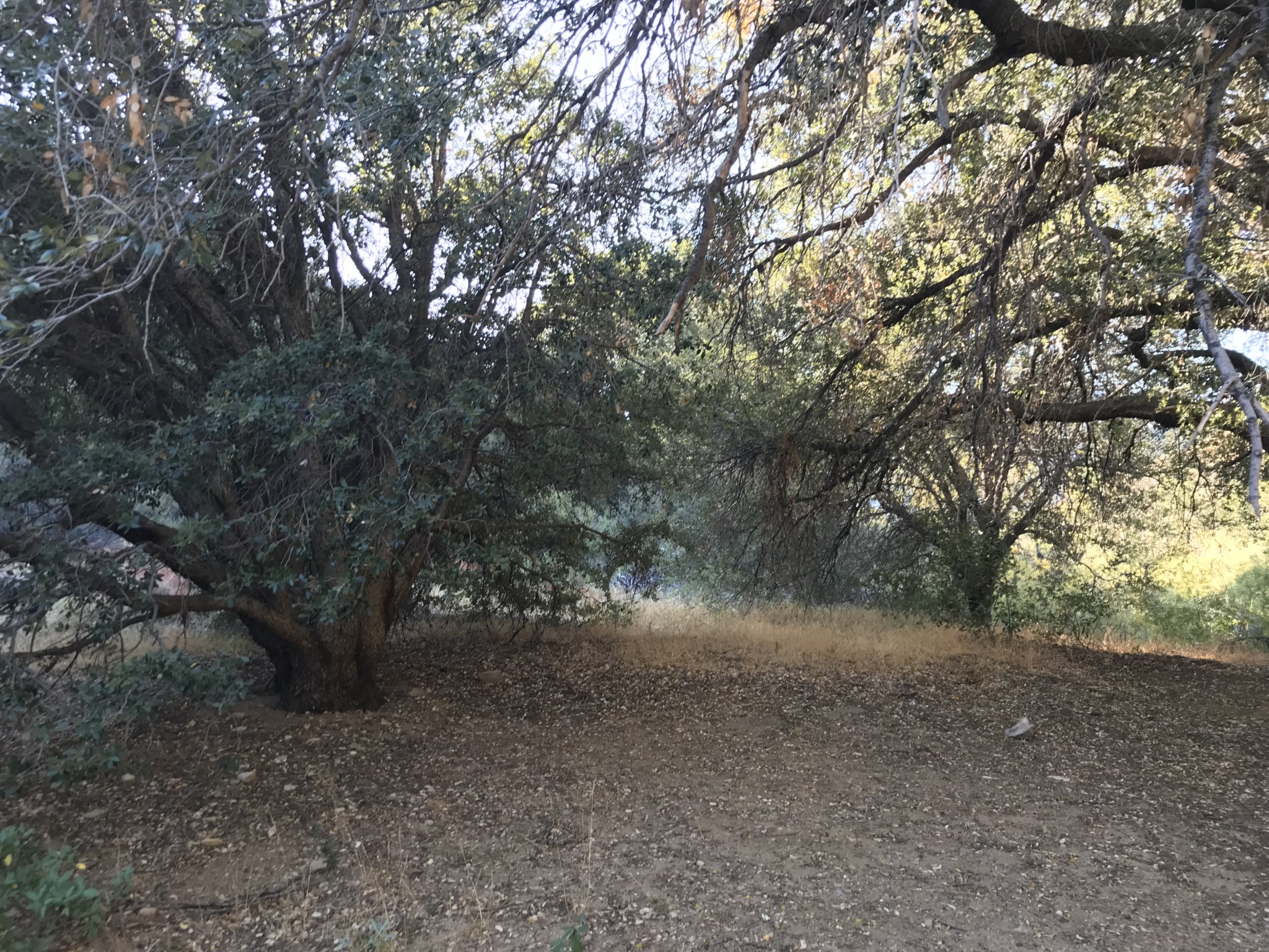
Oak Camp is a primitive campsite surrounded by several large oak trees. The creek bed passes behind the camp, but most of the year there is no water to be found. In the springtime, there may be water flowing since the higher elevations of this trail do get some snow. So far though, the “big stream” is not quite living up to its name.
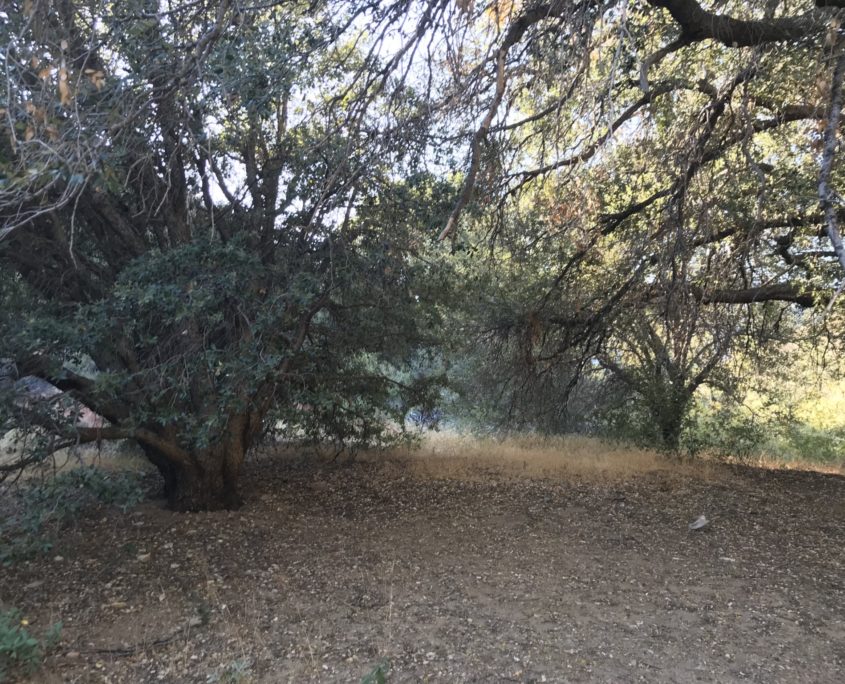
Oak Camp
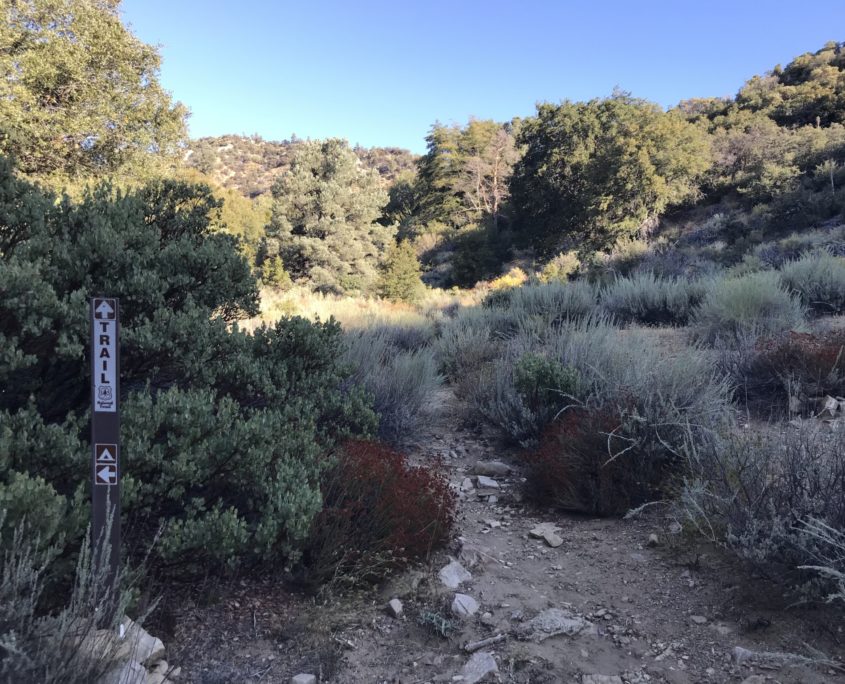
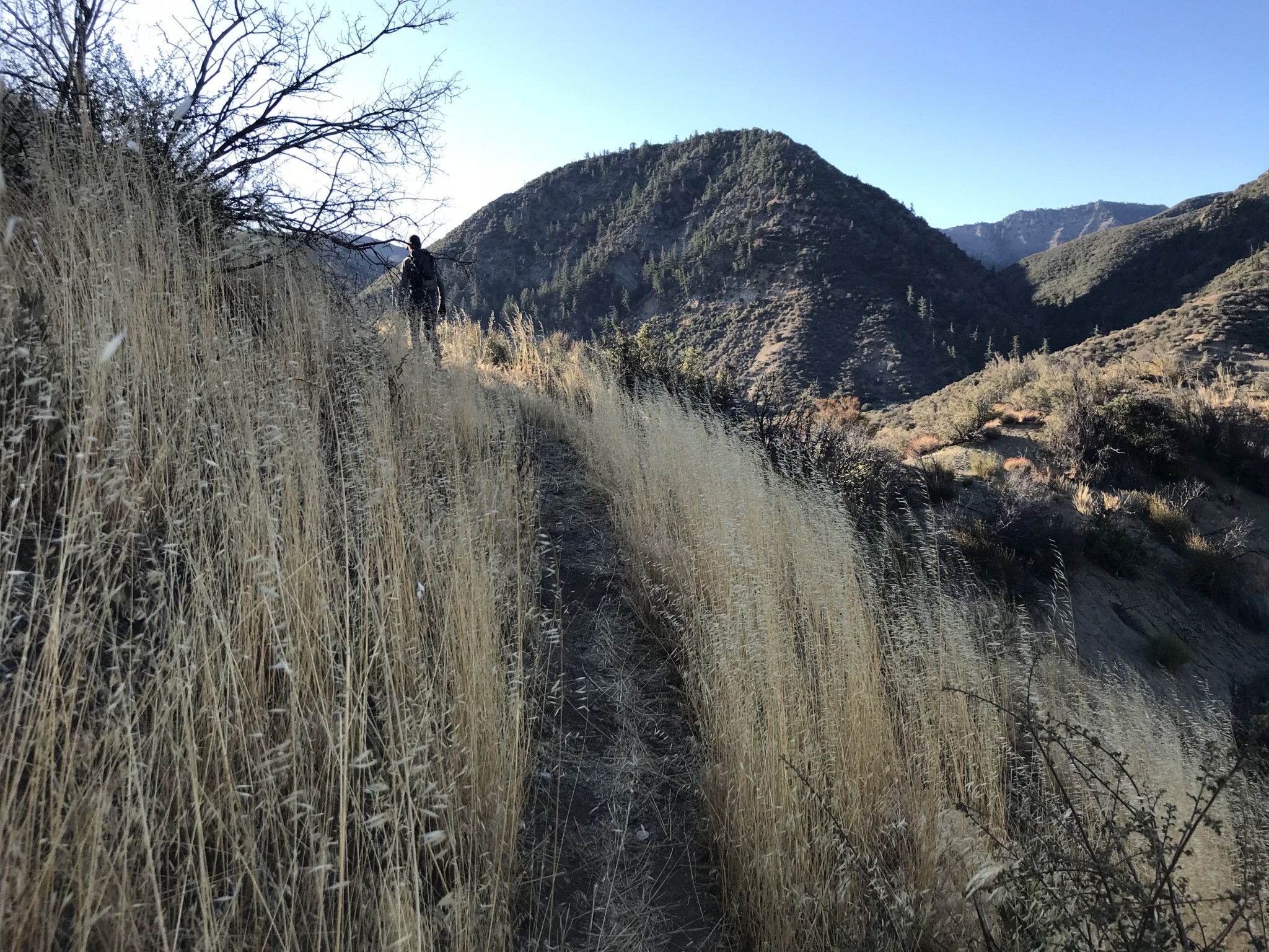
Trail leading out of Oak Camp
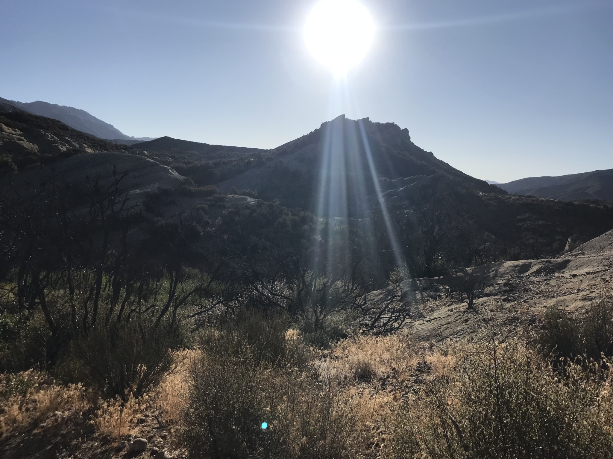
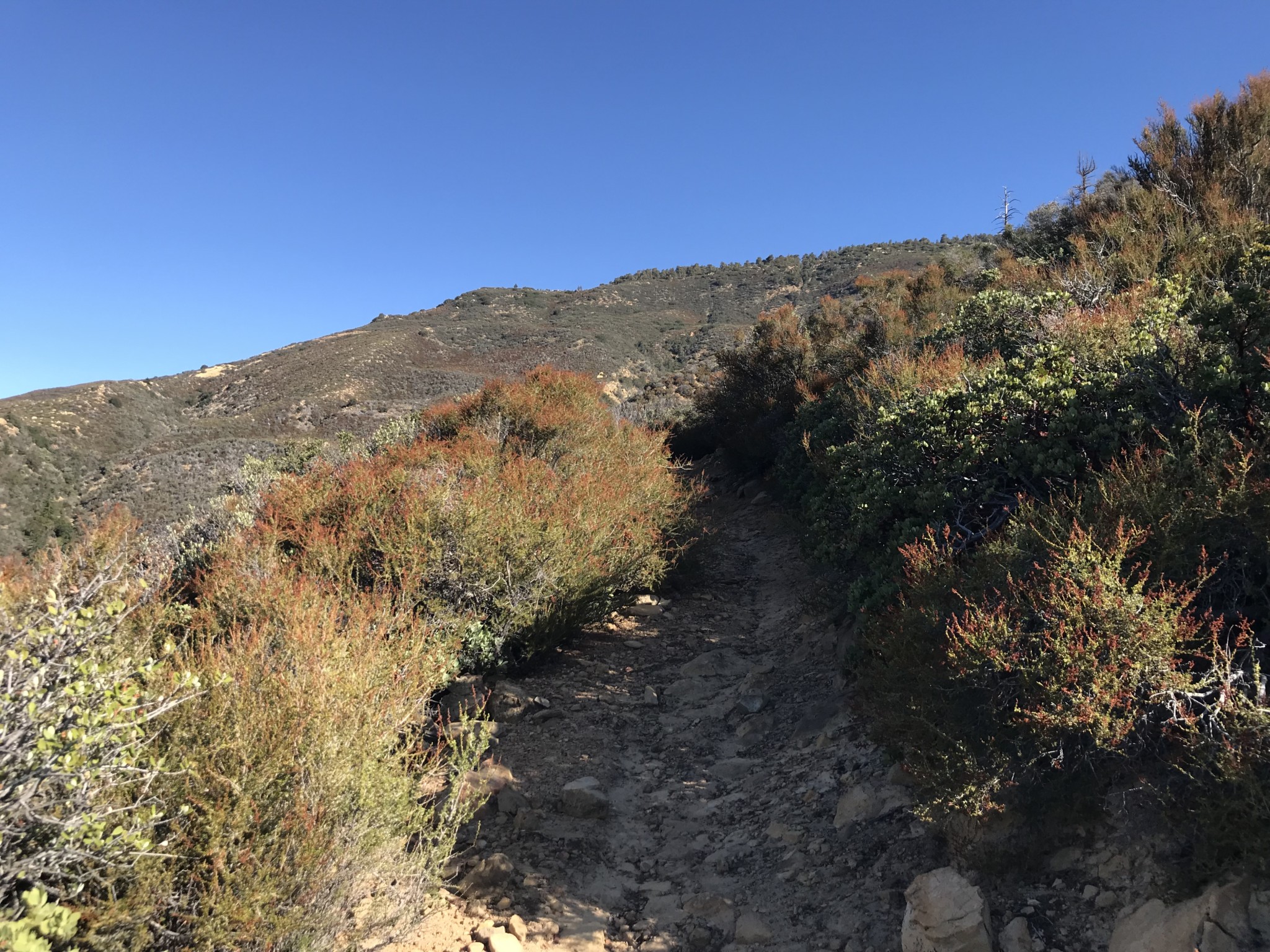
Past the camp, the trail begins to climb up the hillside and you will start to gain some elevation. Definitely reapply some sunscreen and drink water in this section as there is minimal shade.
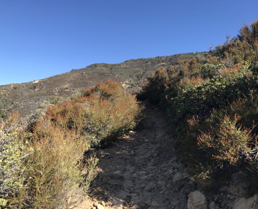
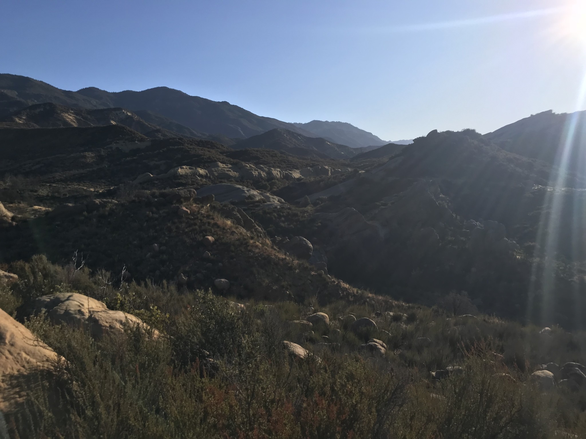
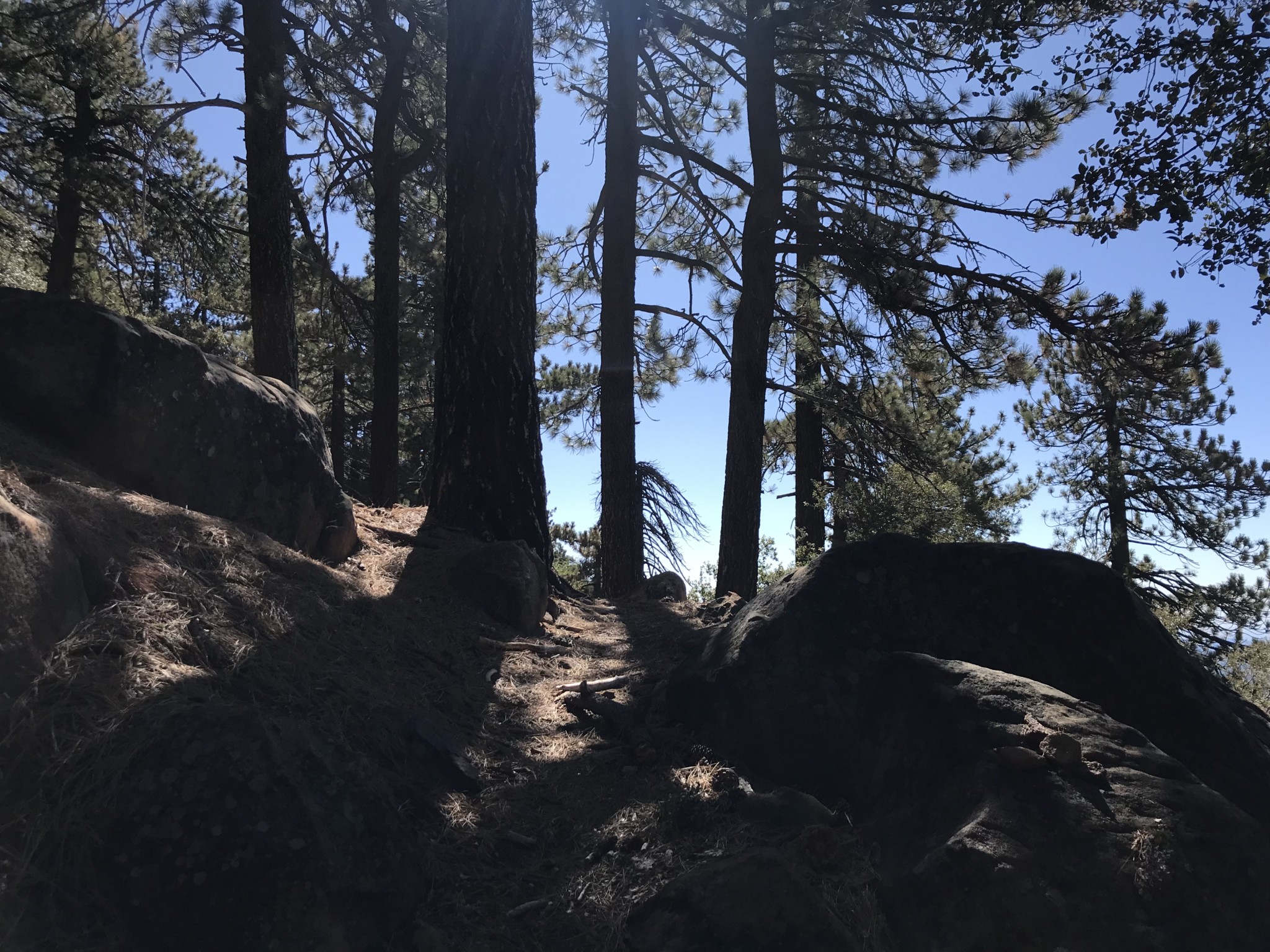
The scenery and vegetation begin to change as you quickly ascend. The tall grasses near the highway begin to give way to Manzanita bushes and then, somehow, you end up in a pine covered forest by the time you reach the second camp at 4.2 miles.
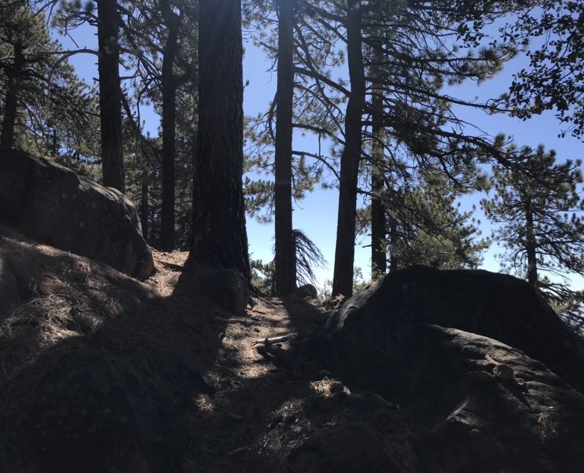
Now you finally have some shade as you make your final ascent.
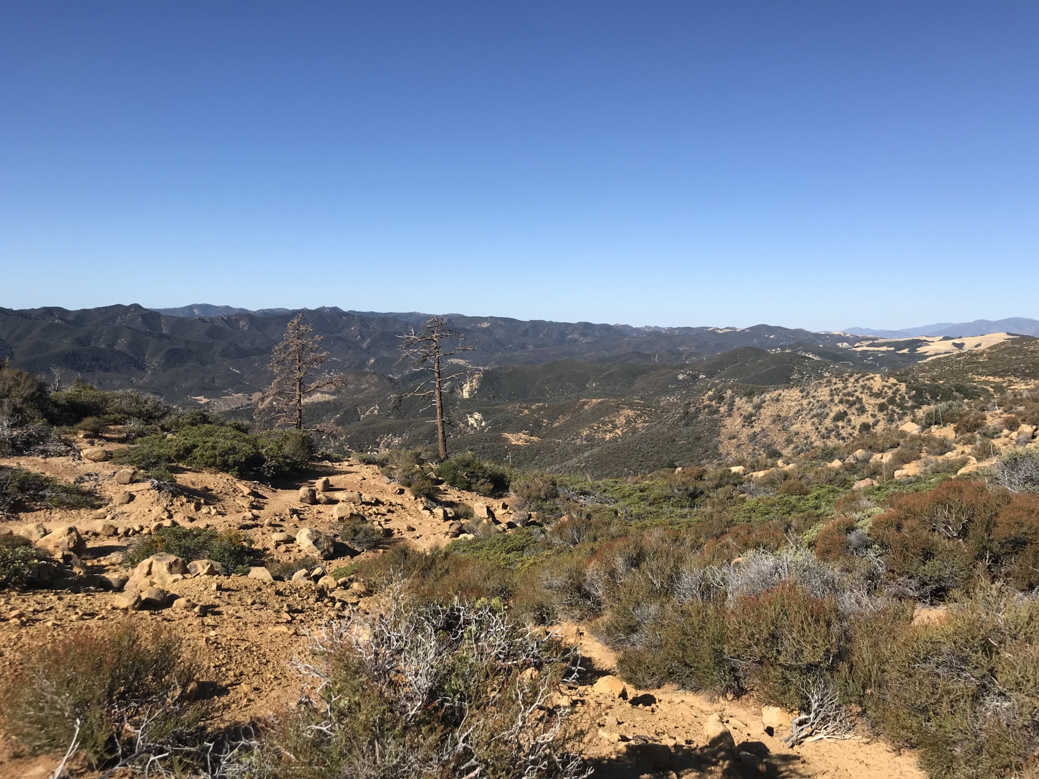
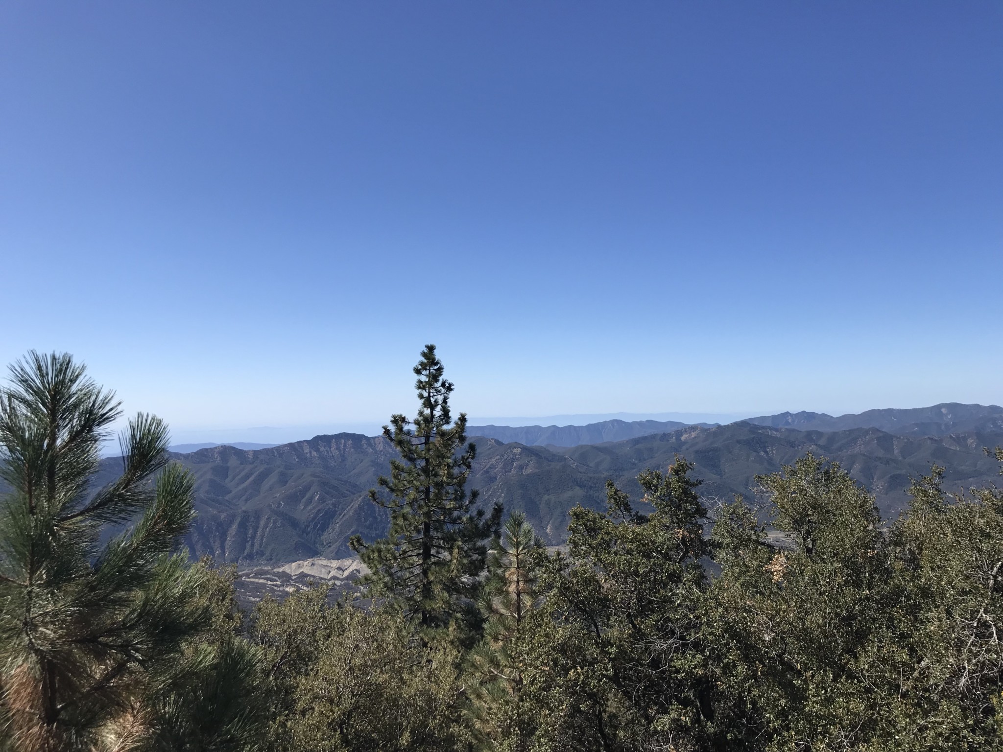
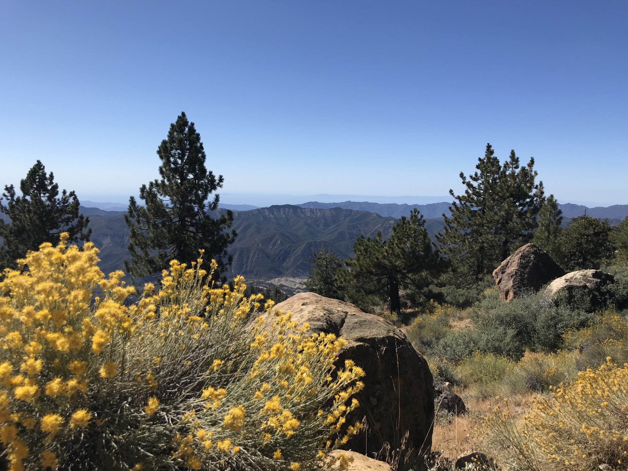
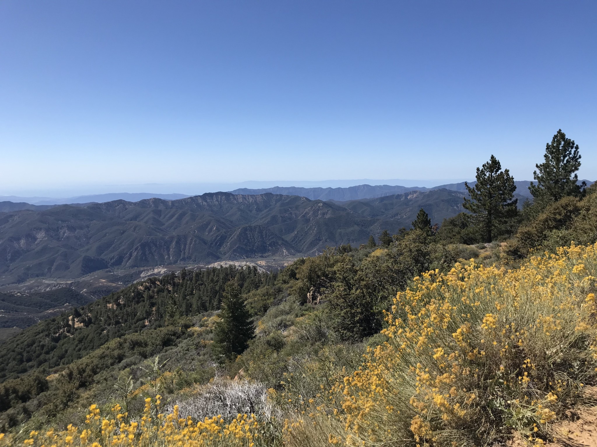
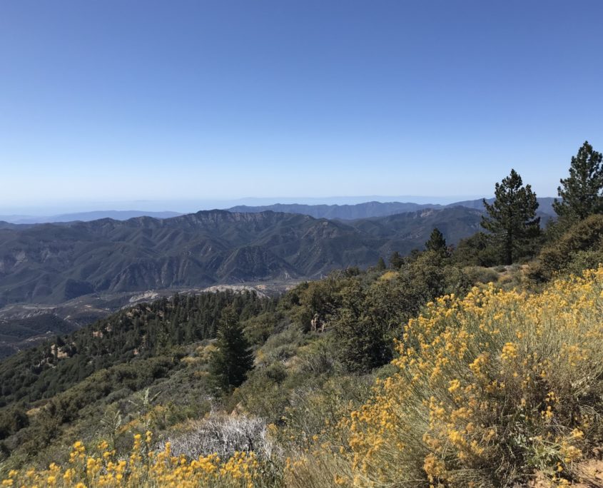
After what seems like an eternity of uphill climbing, you reach a dirt road. Admittedly, this is a little anti-climactic. However, if you turn around, you’ll notice the expanse of the Pacific Ocean dotted with the Channel Islands. Take a moment to appreciate the views and rest those tired legs.
View from the top
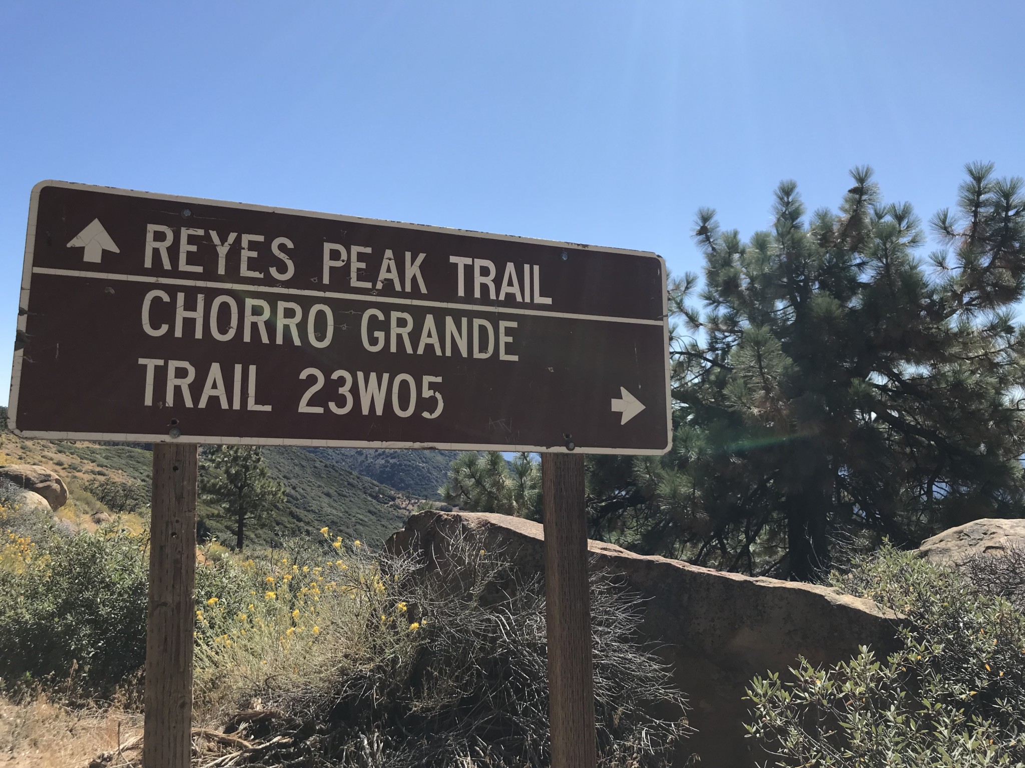
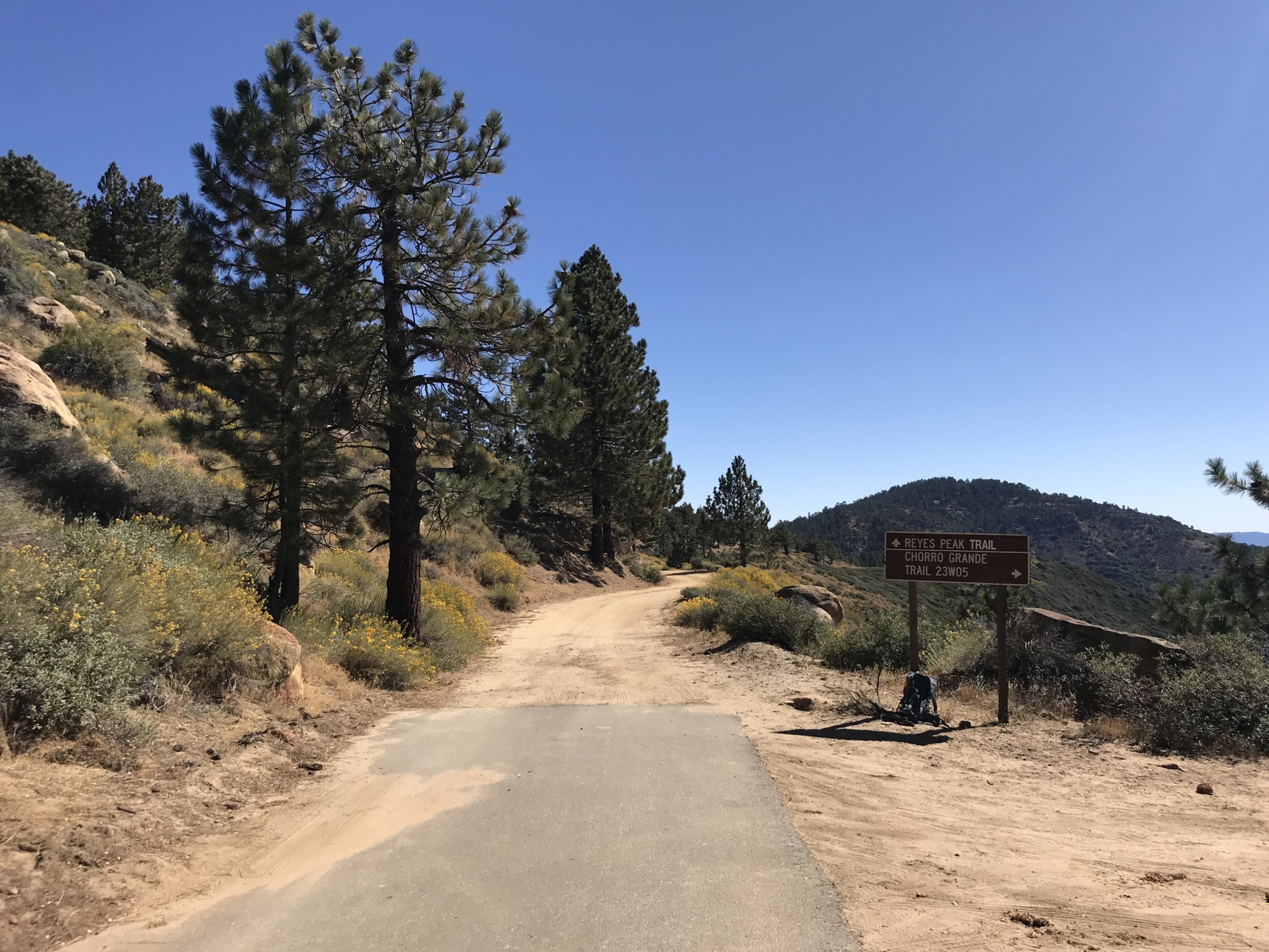
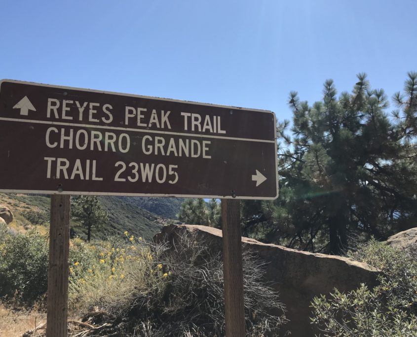
From here, you have the option to continue onto Reyes Peak, which can be reached by following the road to the right for over a mile to the Reyes Peak Trailhead. From the trailhead, you will climb about 1.3 miles to reach the peak. Before attempting the peak and adding the extra mileage, consider that you still have to travel 5 miles back downhill.
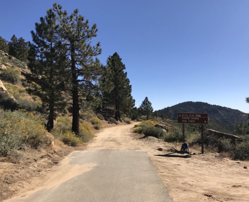
Dirt road toward Reyes Peak
When you’re ready, head back the way you came. Be sure to treat yourself to some food in Ojai on the way home, you’ve earned it.
Tags: Hiking, Los Padres National Forest, ojai, reyes peak, sespe wilderness, Ventura County