This moderate loop hike takes you from the China Ranch Date Farm along Willow Creek — a major tributary of the Amargosa River — and to a fun slot canyon. Along the way, you’ll hike through lush riparian ribbons of green in an otherwise stark desert before joining up with California’s seventh longest river, which spends most of its time underground. There are lots of signs of previous development here, including artifacts, old cabins, and plenty of old railroad grades. And of course, at the end of the hike, you’ll have the option of enjoying a nice cold date shake from the ranch. This hike is kind of out in the middle of nowhere — but it’s absolutely worth the journey to get here.
This hike begins at the parking area for the China Ranch Date Farm, a historic and unique out-of-the-way attraction that makes a great anchor to this outdoor adventure. Head to the south end of the small parking area, and you’ll see a covered picnic area along with some informational signs about the Amargosa River.
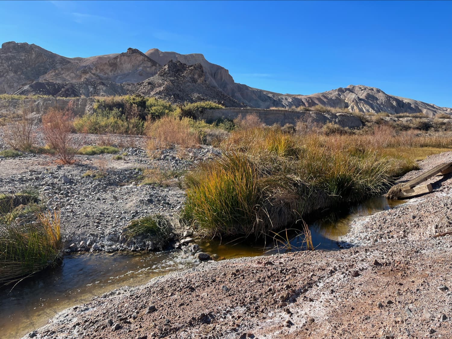
The Amargosa is a weird river by most standards — it spends most of its time underground and it runs through some of the driest and most extreme deserts in the California / Nevada borderlands. But where it lies underground, its effects can still be seen — most prominently in deep crevasses that house the Devil’s Hole Pupfish, hot springs, and unexpected wetlands in the desert that seem to appear out of nowhere.
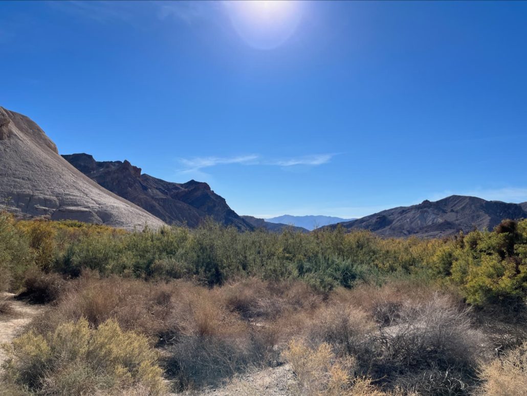
This trail takes you to a 20-mile long stretch of aboveground flow that’s been designated and protected as a Wild and Scenic River. It’s stunning and surprising terrain that houses and supports hundreds of species of plant and animal life, and it’s absolutely worth the time and effort to get here if you’re into deserts.
Make sure you have plenty of water, sunscreen, and shade and then head south from the picnic area. If you’re a birder, be sure to pack some binoculars, too!
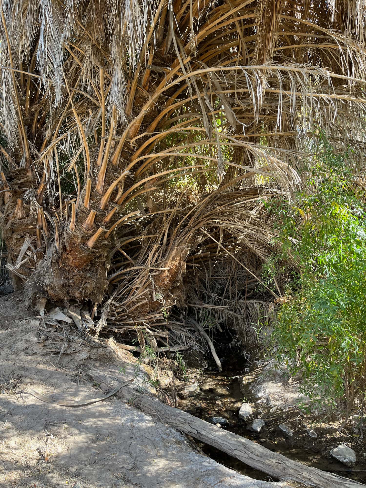
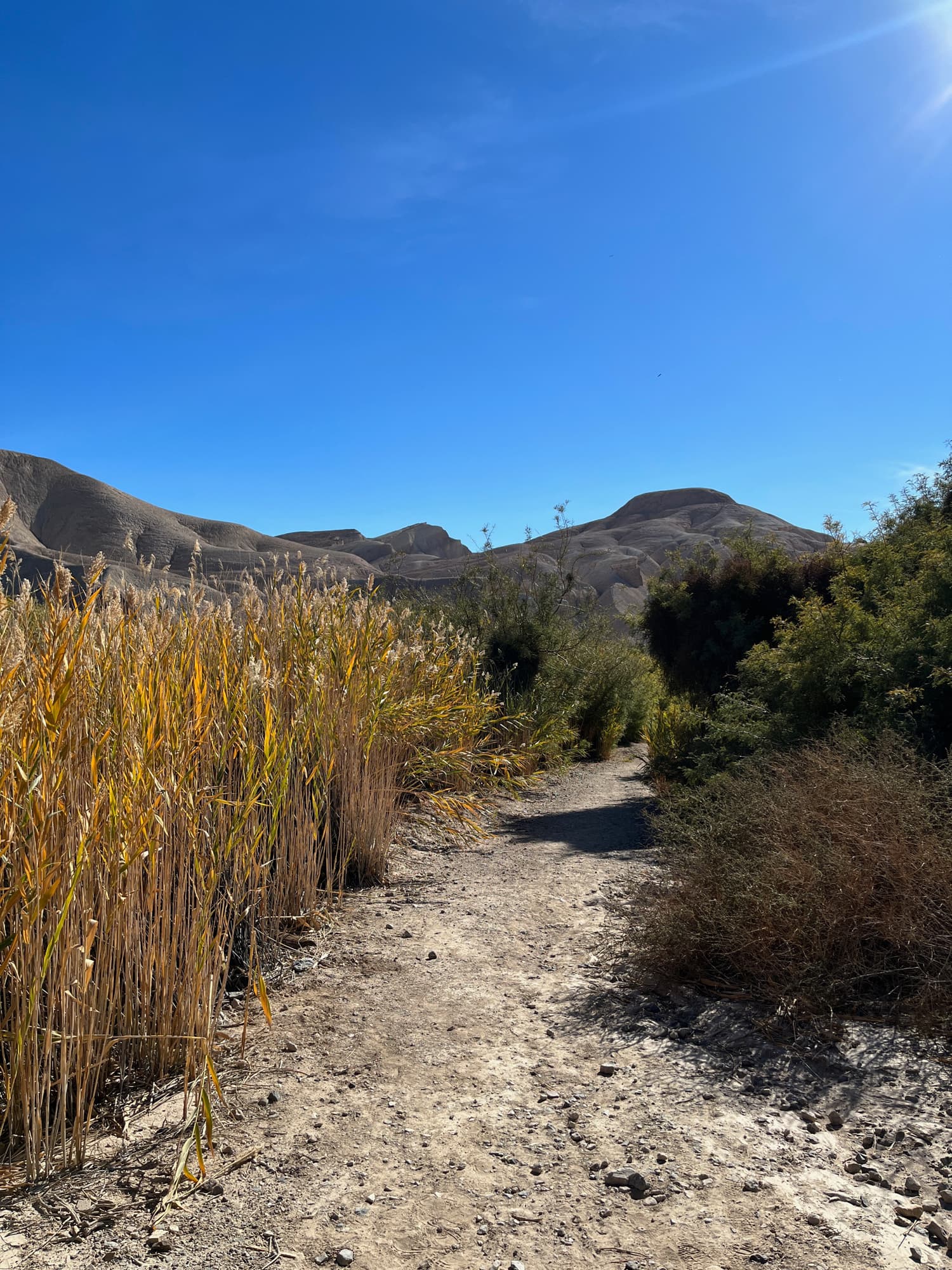
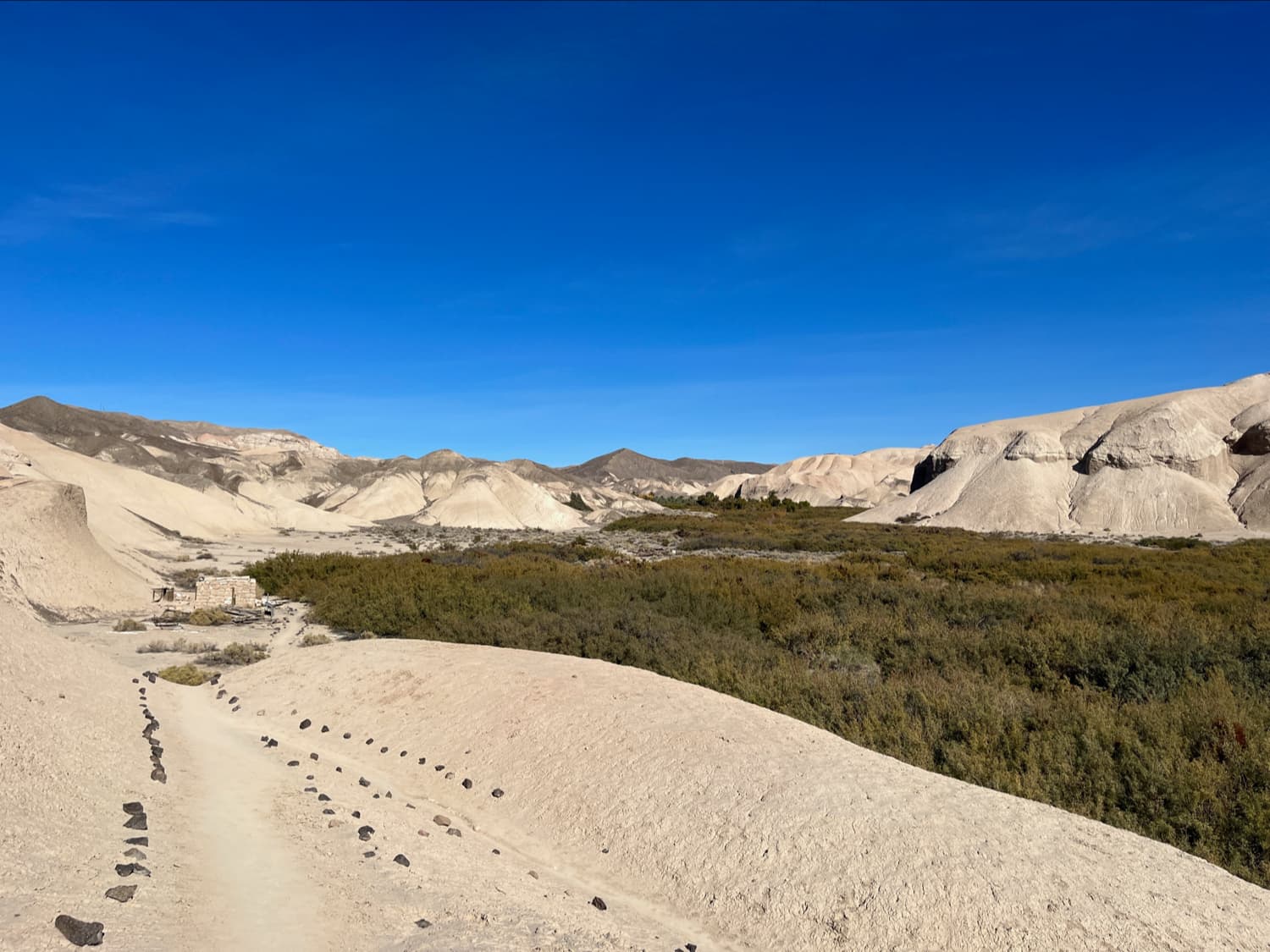
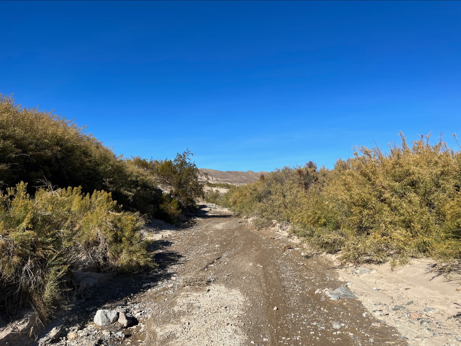
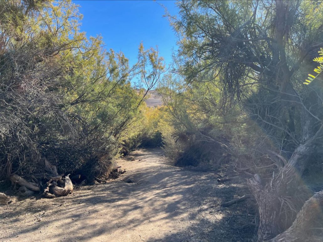
The trail begins in some errant date palms and dense vegetation, including reeds. This absolutely does not feel like a desert, other than maybe the sun and heat.

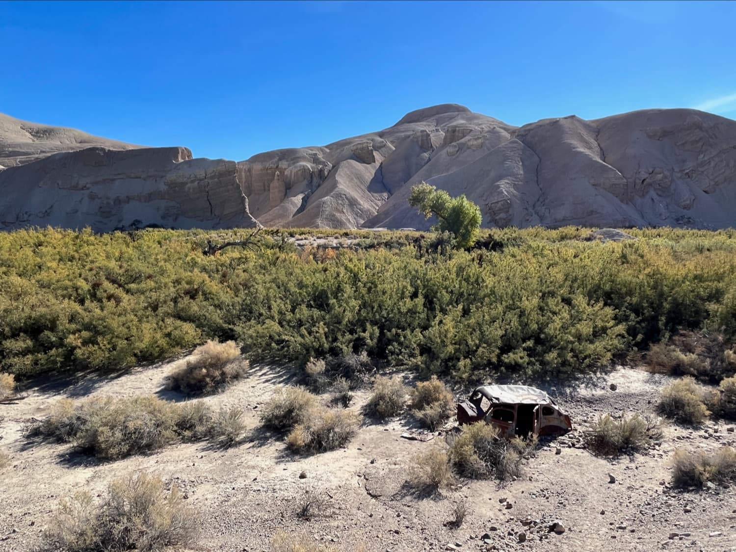
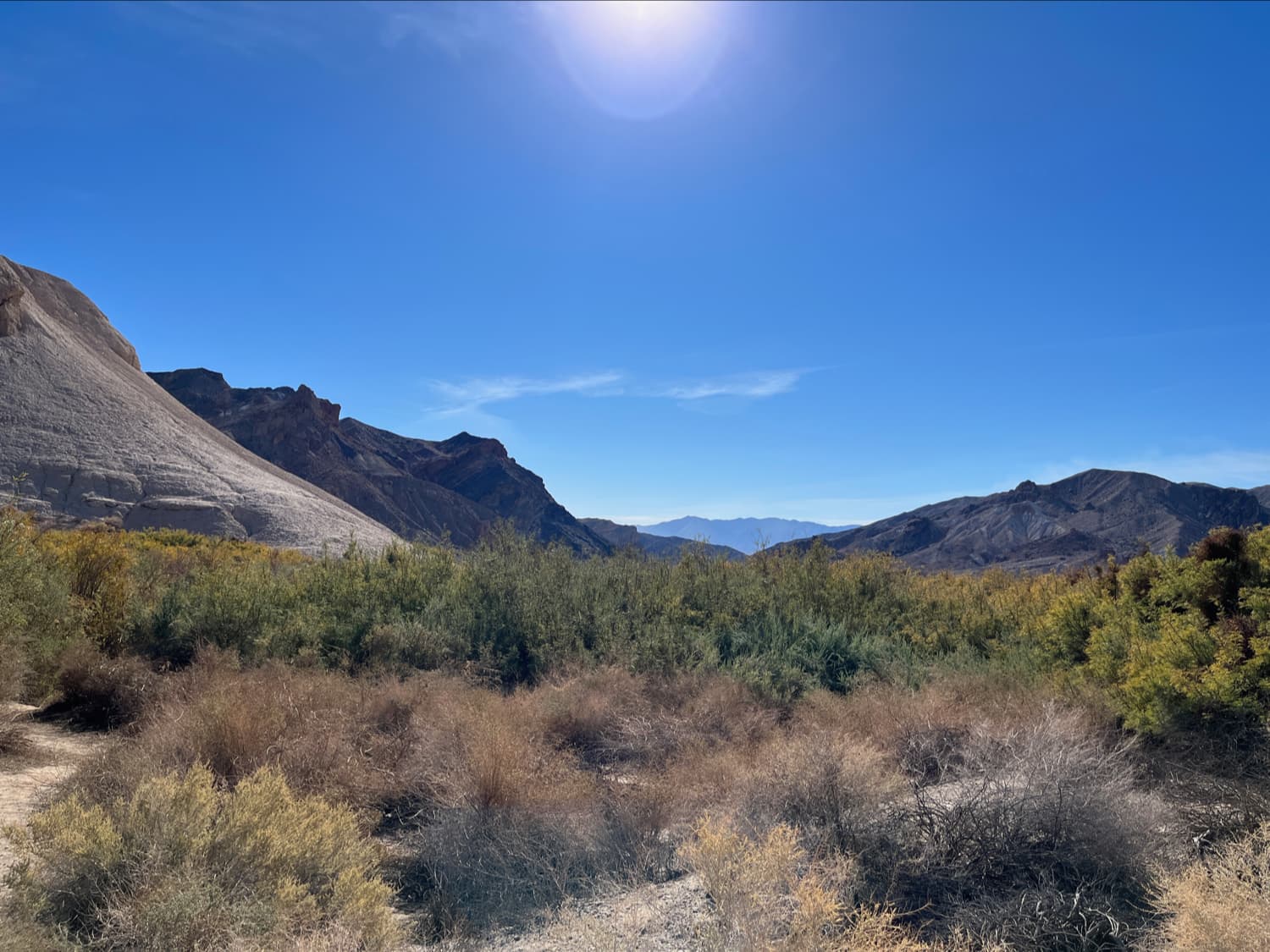
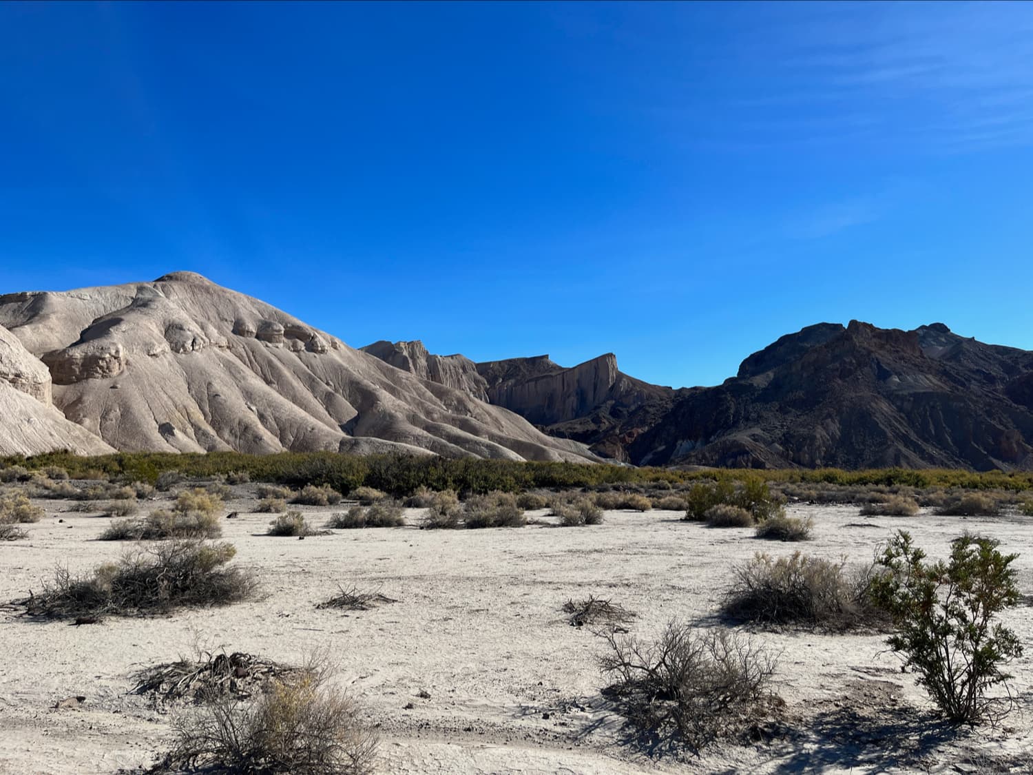
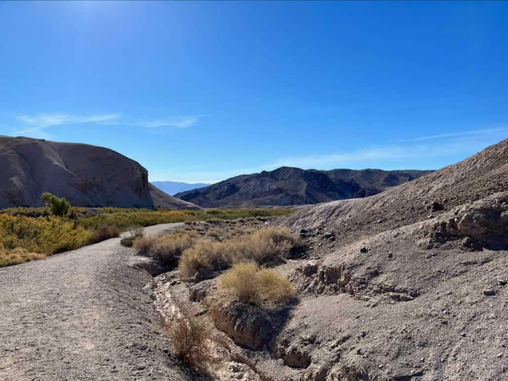
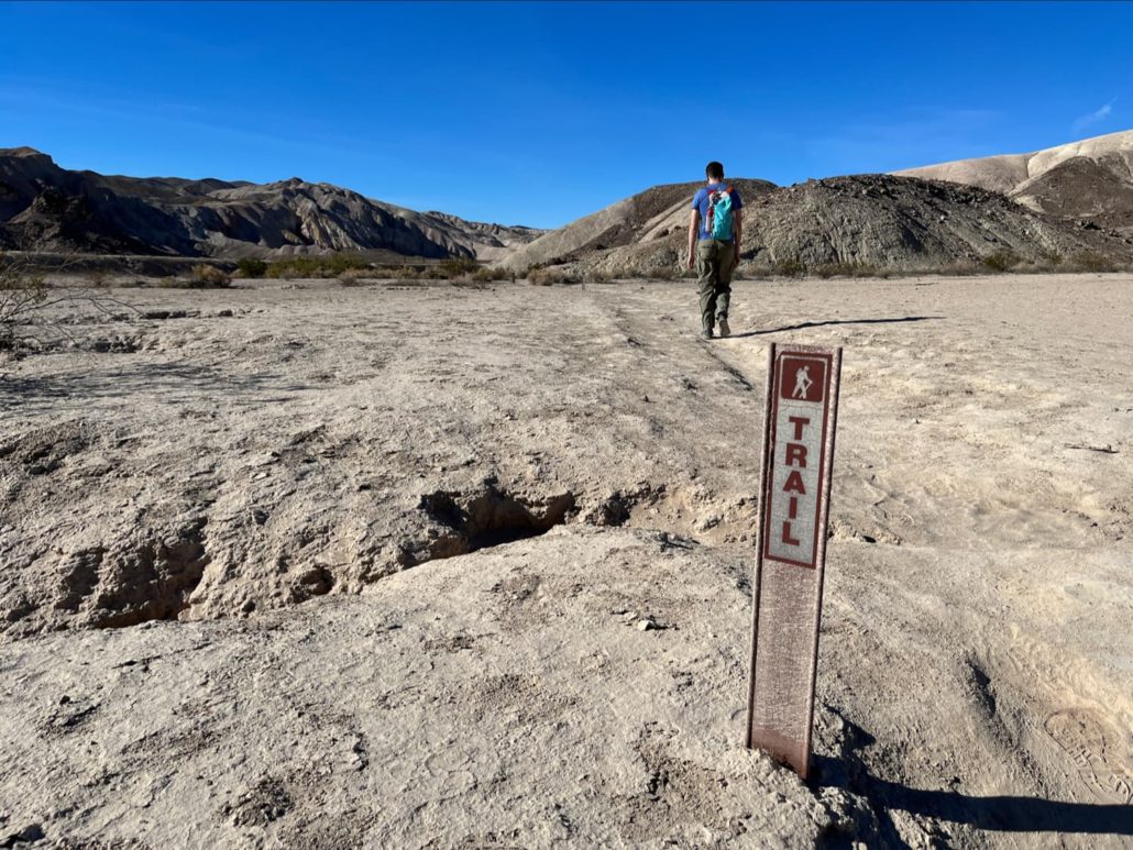
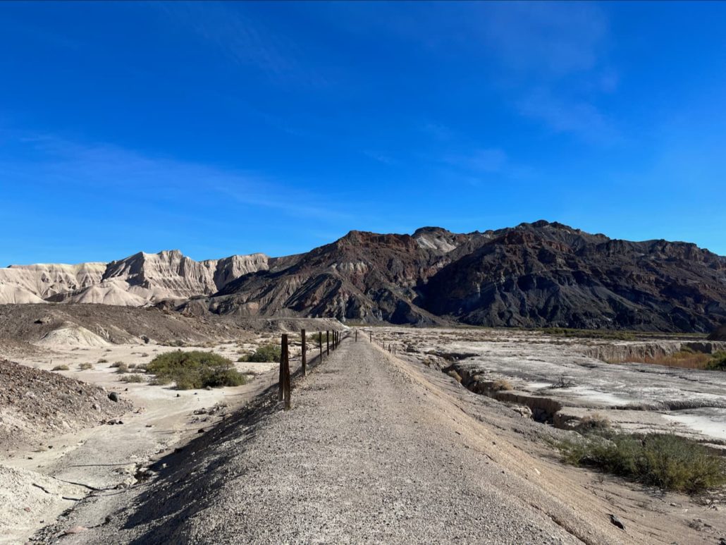
Mountains rise to the east and as you enter deeper into the canyon, the effects of Willow Creek’s reliable water manifest in a drastic contrast in vegetation — there’s really hardly anything once you leave the basin. This is more apparent once you gain a bit of elevation on the remains of an old ranch road. Keep right at the junction around 0.2 miles.
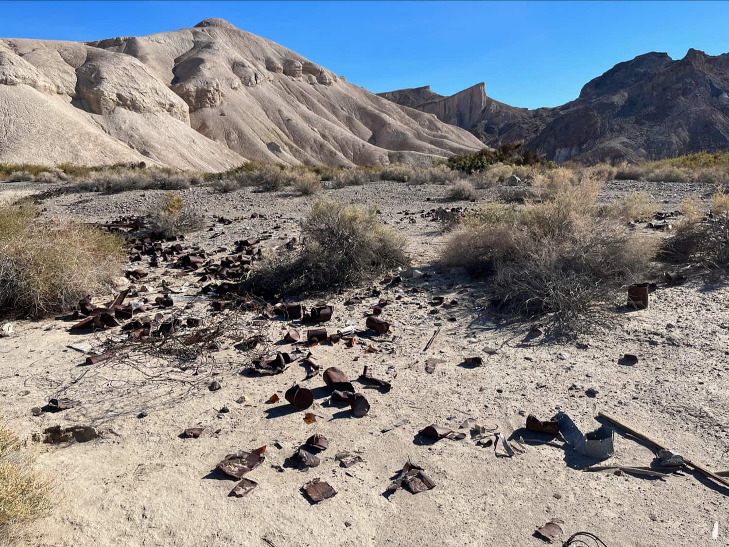
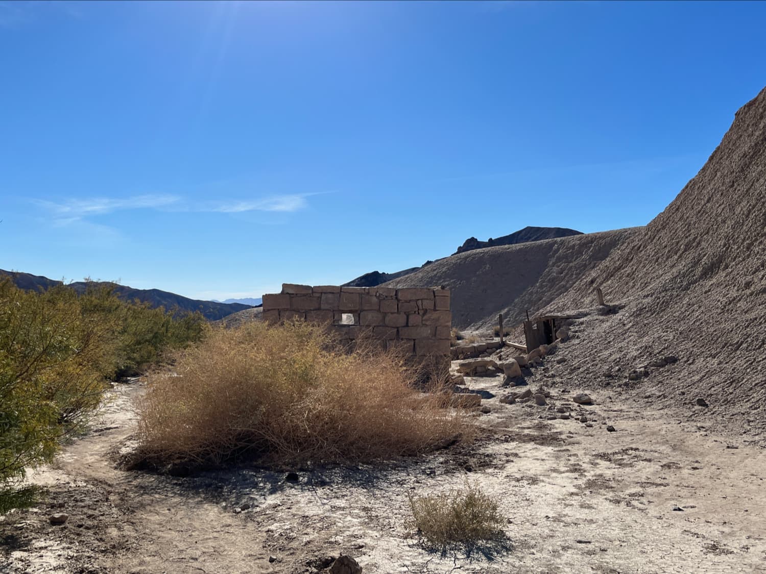
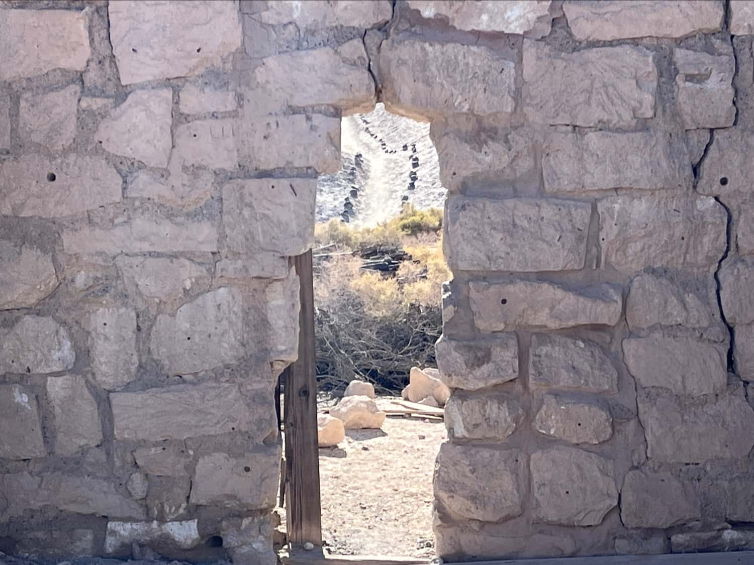
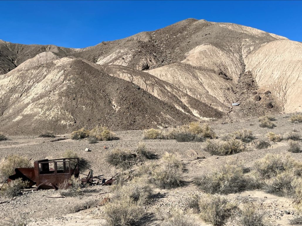
You don’t have to hike too far to see the remains of relatively recent history, when a branch of the Tonopah and Tidewater Railroad snaked its way through this remote corner of the country.
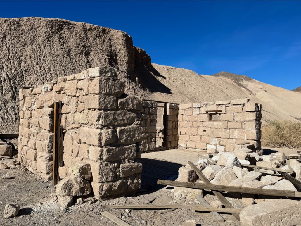
The Tonopah and Tidewater was the last railroad built in the Death Valley area, and although it never actually made it to either Tonopah or the tidewaters of its intended terminus at San Diego, it operated from 1907 to 1940. Owned by the Pacific Borax Corporation, it mostly hauled borax and other minerals out of nearby mines and connected to other railways to get to major cities … although it did also carry passengers and tourists. At the Amargosa Hotel at Death Valley Junction to the north, you can see old brochures about visitors heading to Death Valley using the railway to get there. It even had Pullman Car service from Los Angeles toward the end of its life.
The railway was discontinued in 1940 and the rails and ties were stripped for the war effort shortly afterward. But the rail beds remain, and when you’re hiking through this part of the river valley, it’s very easy to make out where the railway used to run.

Of course this railway was only the most recent transportation route through this seemingly inhospitable area. From 1829 to 1830, Spanish colonists used this canyon as part of the first commercial caravan from New Mexico to the San Gabriel Mission (near Los Angeles). Remnants of this road are still called ‘Old Spanish Trail’ today. And the Shoshone and other indigenous peoples lived and traveled through this canyon for thousands of years before the Spanish arrived.
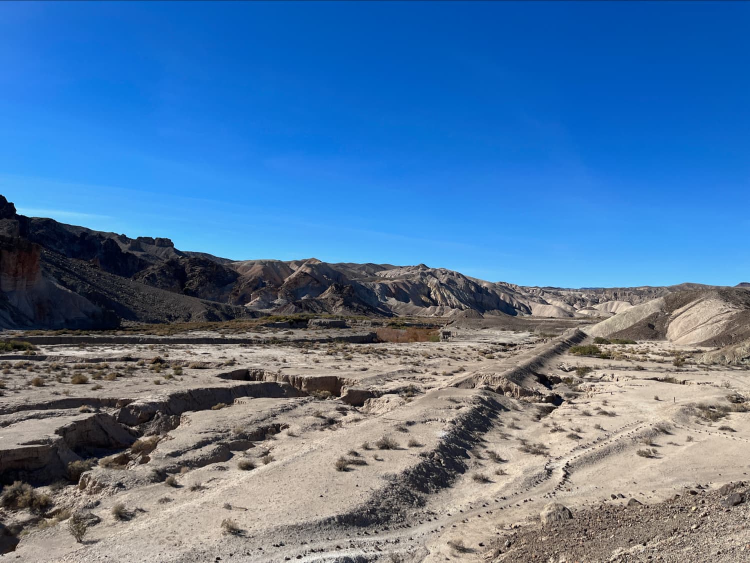
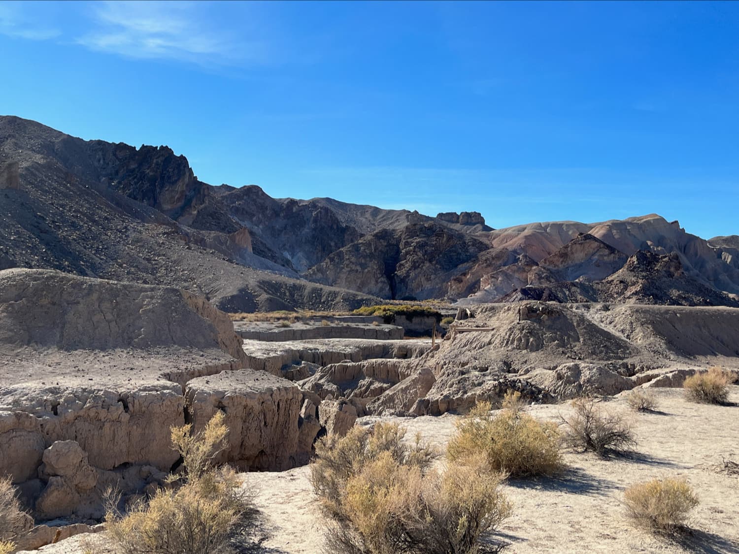
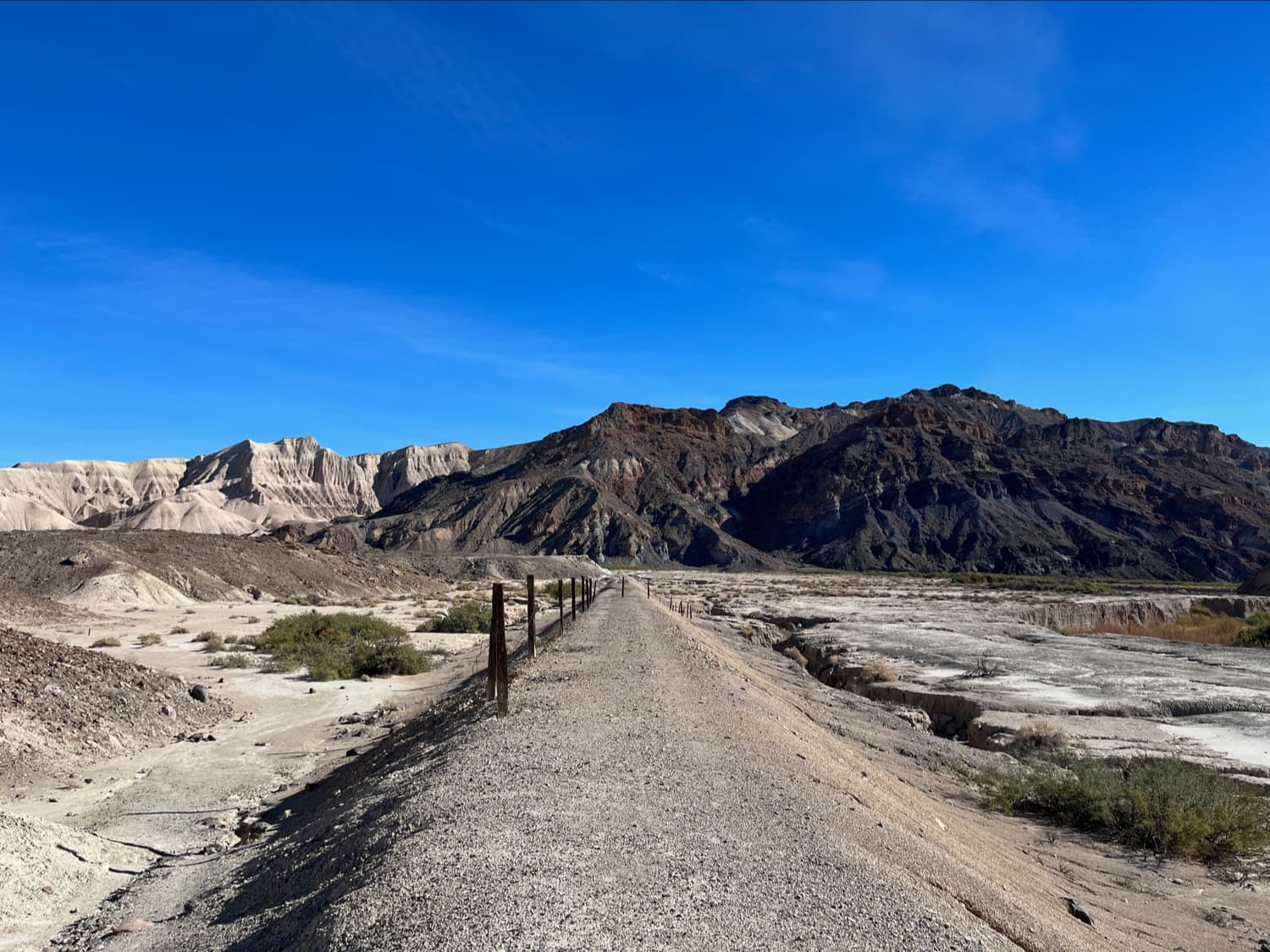
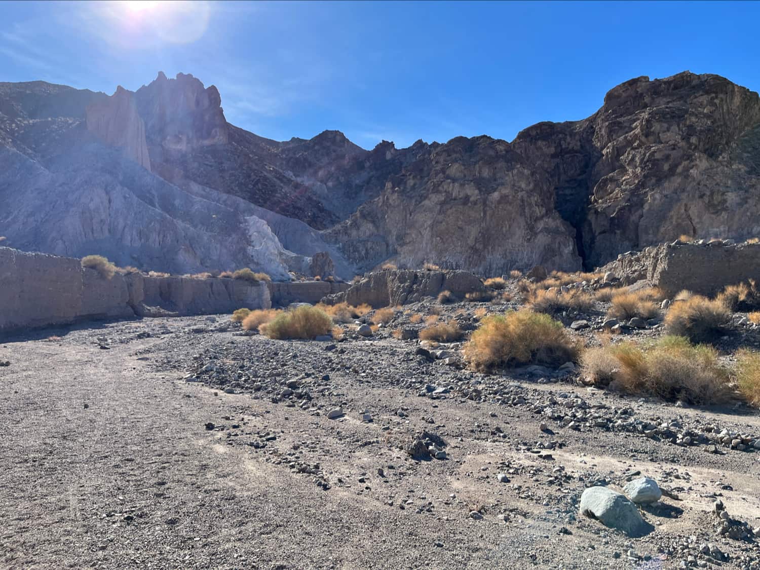
At about 0.9 mile you’ll find yourself near some railroad ruins looking out at the long straight line that used to hold up the ol T&T. It’s also a great spot to take in the sweeping view of the canyon where the Creek joins the Amargosa River.
From here, the trail heads west a bit and drops down to track alongside the old rail grade. As you get more up close, the old railway infrastructure is even more fascinating. You can see where bridges crossed washes — now heavily eroded — and that straight rail bed is just irresistible to look at in the middle of nowhere.
At 1.1 miles, look for another split in the trail. This may not be signed — if you head straight (west), you’ll eventually get to the VERY generously named waterfall in the Amargosa River. To get to the slot canyon, head left (south) and drop down to the riverbed, where you may have to do some very quick boulder hopping to make it over, depending on water levels. It looks like there was a footbridge here at some point, but it may have been washed out by a flash flood.
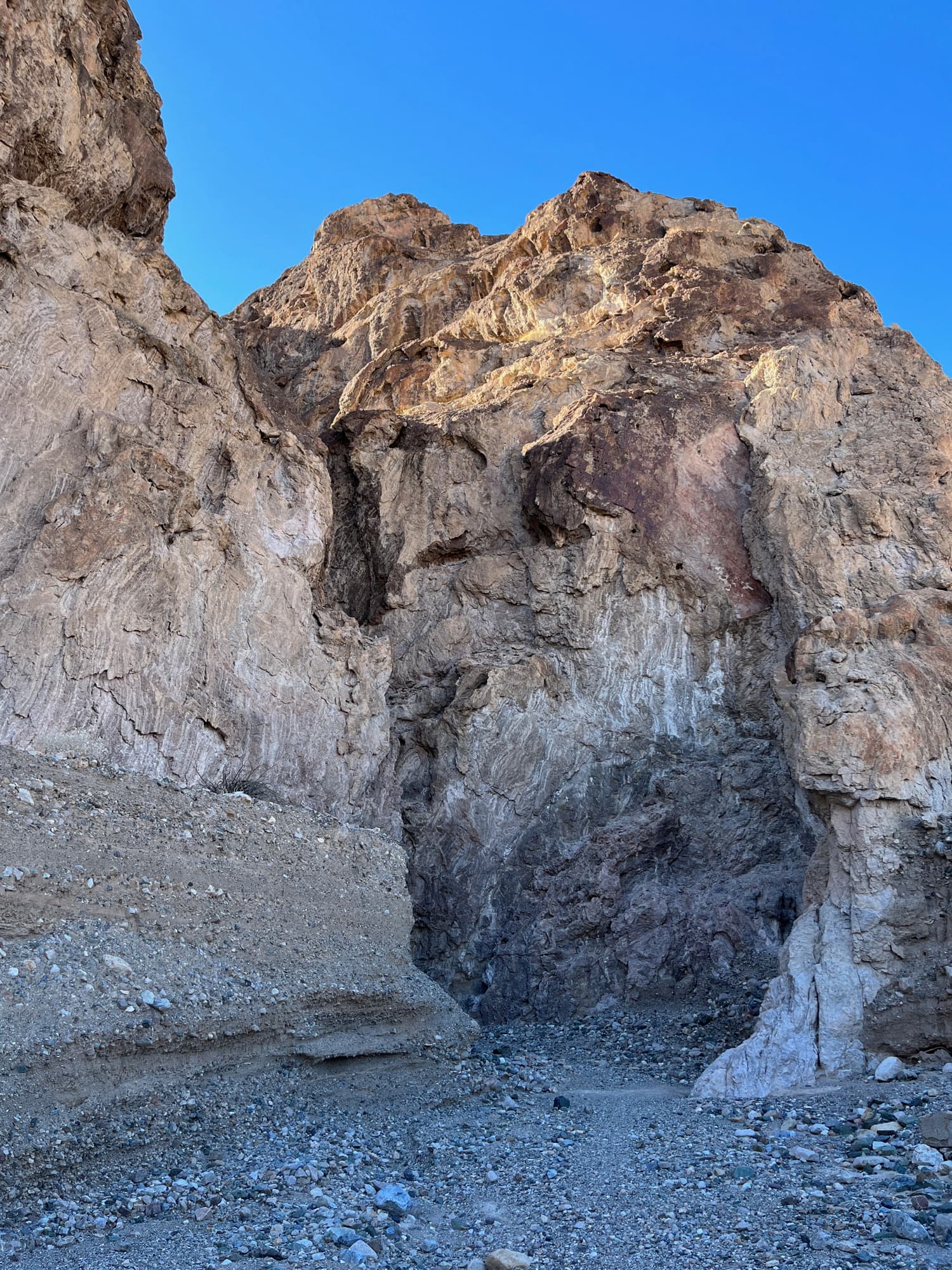
From here, you’re simply walking up a broad wash coming out of the slot canyon. There’s not much of an incline here but it is a slow climb up. And because you’re walking up an alluvial fan, it’s lots of loose gravel that make the hike a bit tougher than it would be otherwise. Take your time and soon you’ll be at the mouth of the slot canyon.

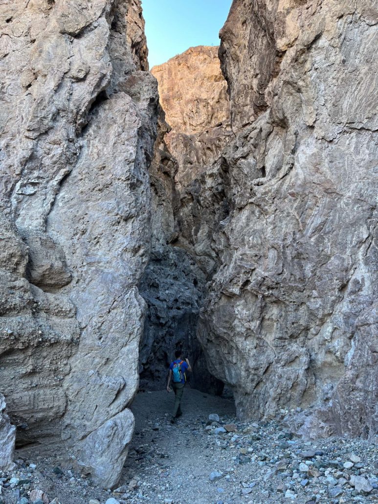
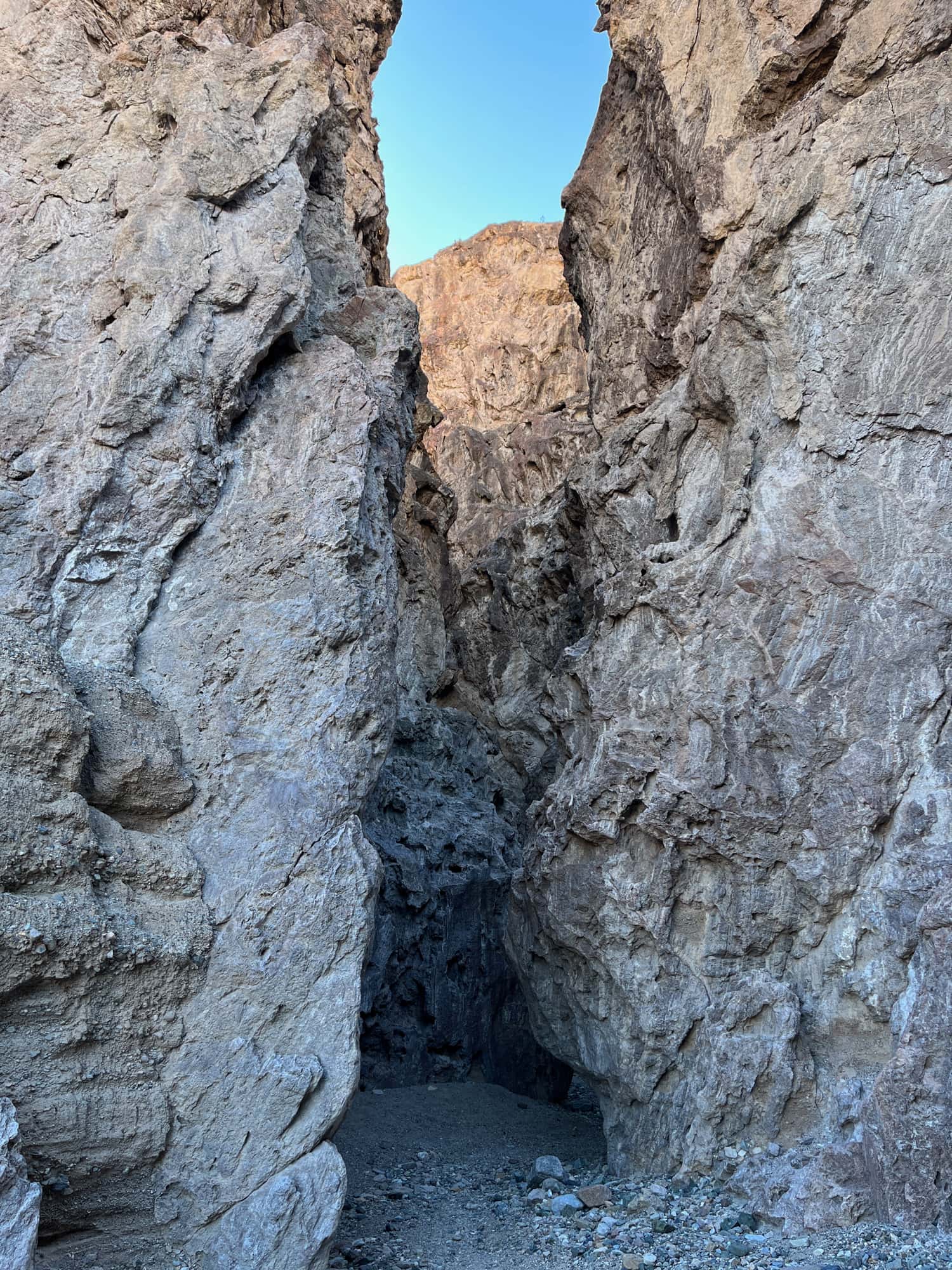
You can hike a short distance back inside the slot canyon — there are a few small scrambles and narrow squeezes but nothing terribly tough until you reach a large rockfall that blocks the path forward. I suppose if you’re into climbing you could make it up and over, but if you’re just hiking that’s a fine turnaround point.
Head back the way you came, this time staying alongside the railway grade after you hop the river and following it past some old mineral piles and decaying railway infrastructure. You can either head back the way you came in, or head into the Willow Creek basin for a loop trail and a change of scenery.
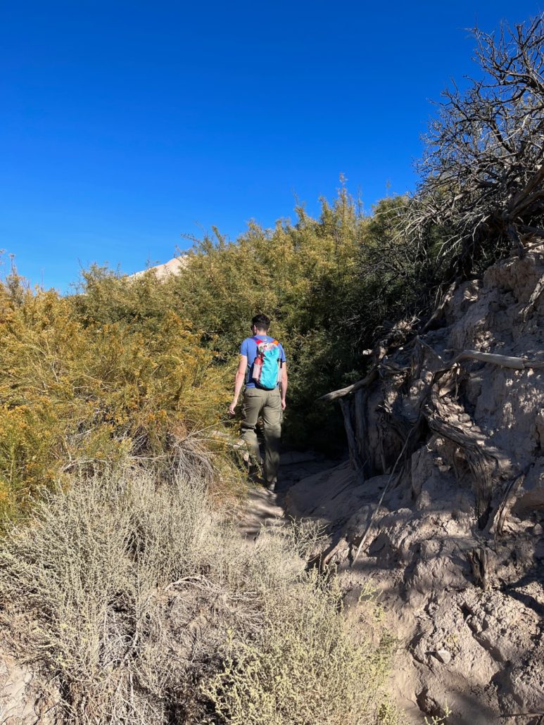
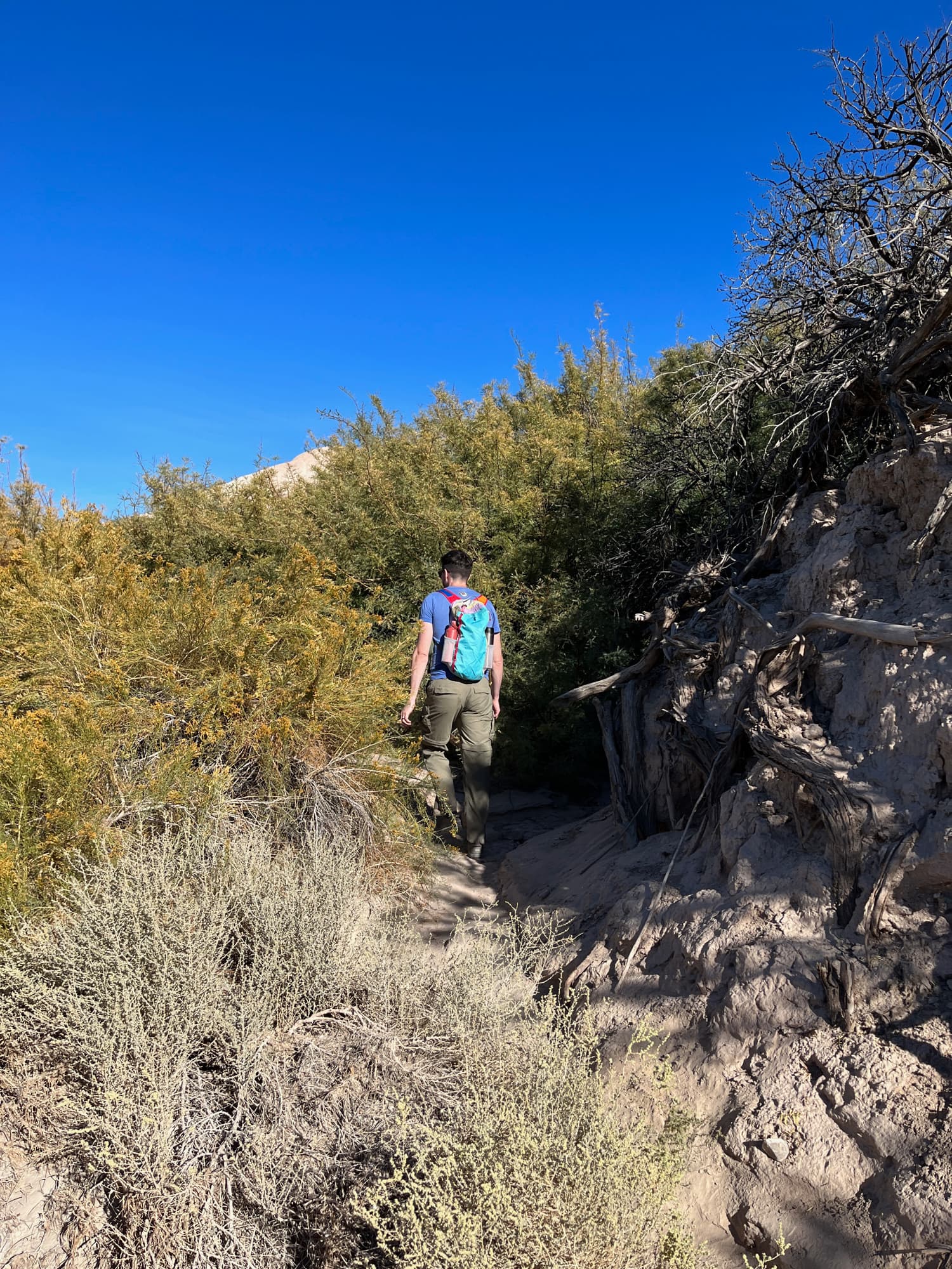
There are a few places where the trail gets a little tough to follow in the dense brush, but if you keep your eyes peeled and your wits about you, you should be able to keep to the path fairly easily.
Make your way back to the China Ranch Date Farm — and be sure to reward yourself and cool down with a nice date shake. The dried dates and date bread baked goods for sale inside the ranch are all pretty tasty, too!

a date shake is a lovely way to end your time at the China Ranch Date Farm
Tags: amargosa river, china ranch date farm, inyo county, san bernardino county