Built in 2018, Chanterelle Trail has swiftly become a local favorite utilized by Bellingham hikers, trail runners, and mountain bikers. This relatively young trail has all the makings of a classic hike. It’s close to the city, great for families, dog-friendly, moderately graded, and offers lofty lake views. Chanterelle Trail climbs Stewart Mountain to an overlook 1,000 feet above Lake Whatcom.

The trail is open to uphill biking only (bikes must descend on the road or designated bike-only trails). You’ll see bikes out here on busy days, but the majority of trail users are on foot.
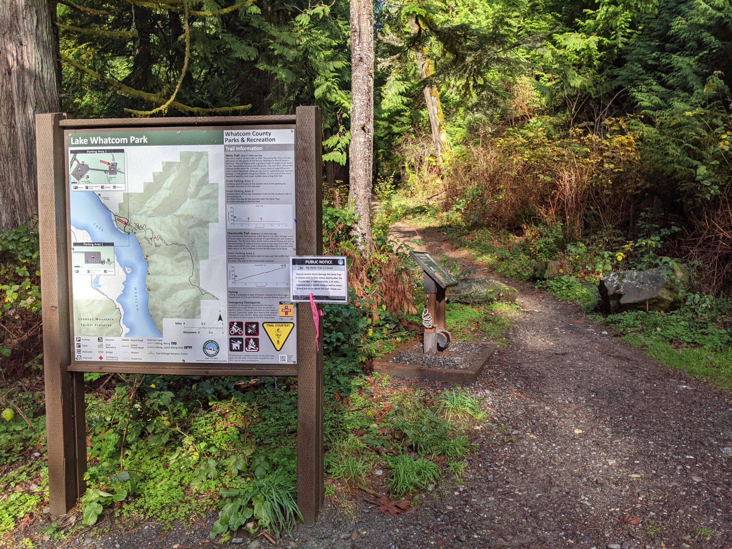
Hiking Chanterelle Trail
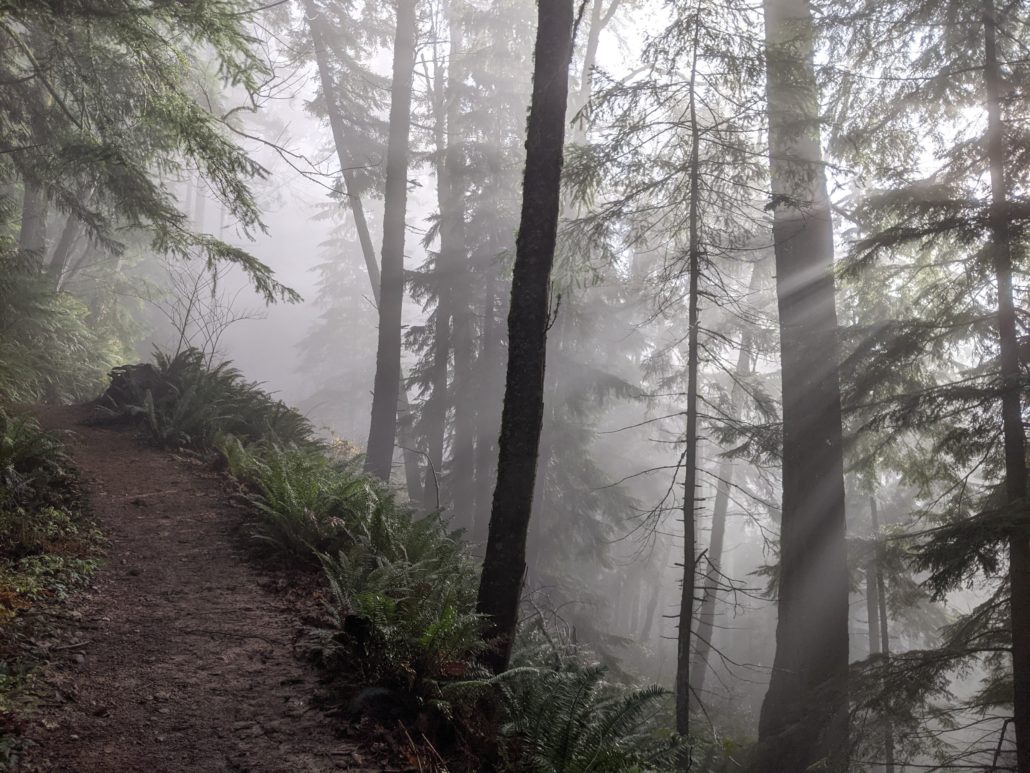
Begin along a well-packed rock-and-dirt trail. At 0.5 miles, reach the first forest road crossing. Watch for downhill bikers as you cross the road and continue upwards.

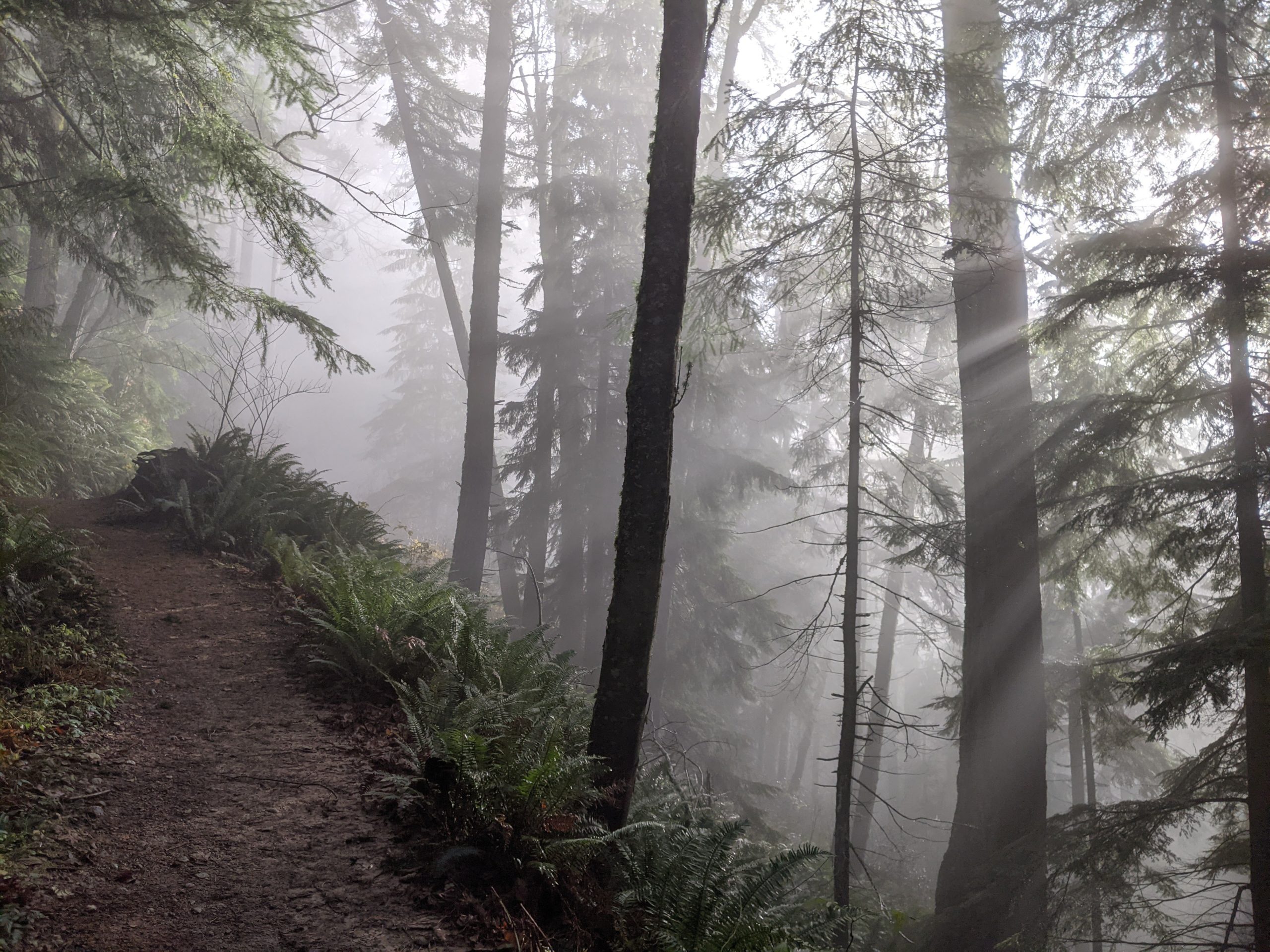
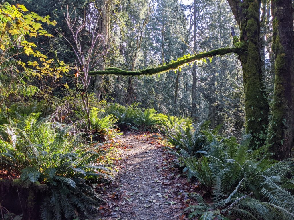
Curvy switchbacks and a moderate grade make it easy to cruise along this trail — especially on the way down. The mixed forest transitions as you walk, leaving evergreens behind in exchange for Big Leaf Maples.
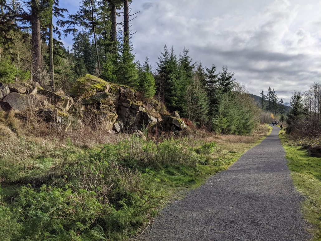
After a long switchback, cross the forest road again at 1 mile. Old-growth stumps and an abandoned, rusty cable are evidence of Stewart Mountain’s logging history. Cross the forest road again at 1.3 miles, then enjoy an easier grade for the next 0.5 miles.
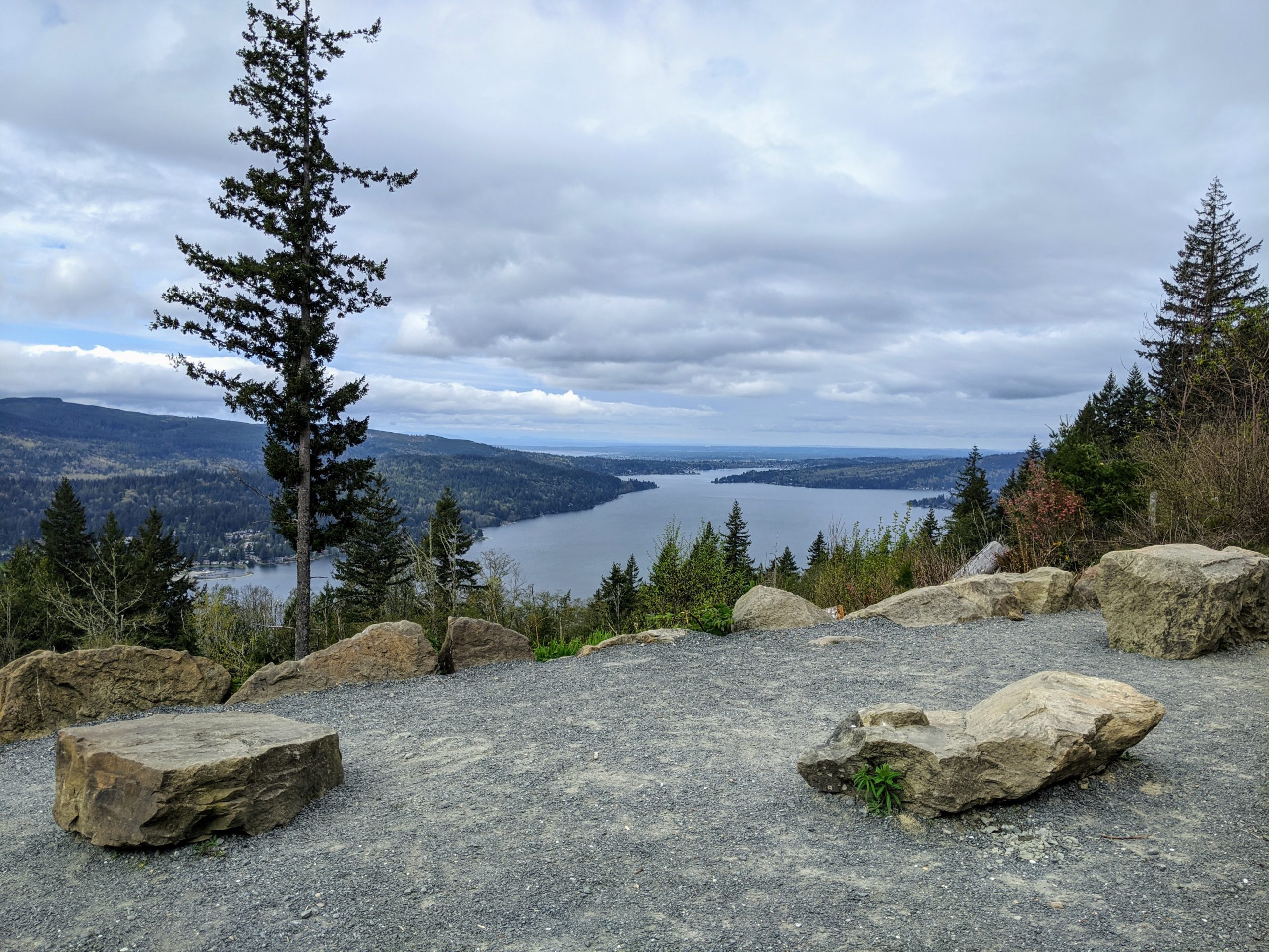
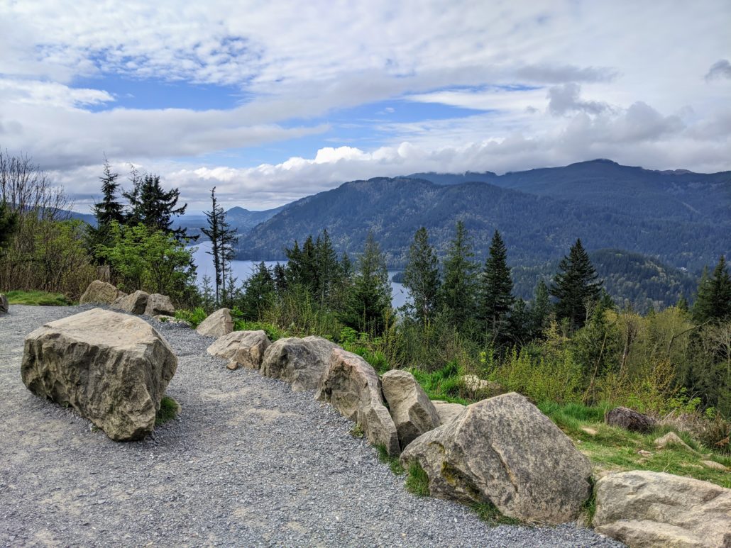
You’ll find yourself back under the cover of evergreens — Douglas Fir this time — before popping out of the woods at 2.3 miles. Turn right at a signed junction, following the crushed gravel path to an overlook of Lake Whatcom.
From this perch 1,300 feet above sea level, enjoy views across Lake Whatcom to Lookout Mountain. If the weather is clear you may even catch a glimpse of Bellingham Bay beyond. Return the way you came, or extend your trip with the following options.
Return via Wickersham Road
To make a sort of loop from the overlook, backtrack to the beginning of the crushed gravel path. At the signed intersection, turn right instead of following the trail into the woods. Turn left when you reach the forest road and follow it down as far as you’d like. You can rejoin the Chanterelle Trail at any of the road intersections, or simply follow the road back to the trailhead.
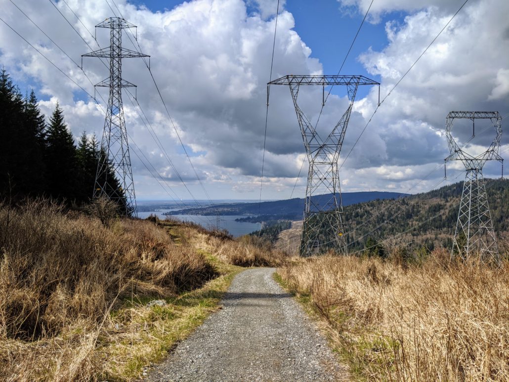
The road provides an interesting perspective of Lake Whatcom on the descent. However, you’ll be sharing it with mountain bikers and will pass under buzzing powerlines, so most hikers prefer to stick to the main trail.
Upper Chanterelle Trail
If you’d like to hike farther than the Lake Whatcom overlook at 2.4 miles, take the upper Chanterelle Trail. This trail will eventually be extended to meet the Hertz Trail on Lake Whatcom’s shoreline. For now, it continues 2.6 miles (one-way) from the overlook and ends at the forest road. While this trail doesn’t offer any additional lake views, it’s a good option for hikers and bikers seeking some extra mileage.
Tags: Bellingham, chanterelle trail, lake whatcom, washington