Most Southern California residents wouldn’t be able to tell you where the San Rafael Hills were, let alone that most of them who’ve gone hiking in the region have likely passed them dozens if not hundreds of times without even realizing it.
The San Rafael Hills sit just across the CA-2 from the more well-known Verdugo Mountains, and although there is a fair amount of development on them, they still offer up lovely multi-use trails for foothill residents, easy accessibility to one of the best parks in Los Angeles County, some Cold War history relics at the Cerro Negro lookout, and spectacular views of the front range of the San Gabriel Mountains.
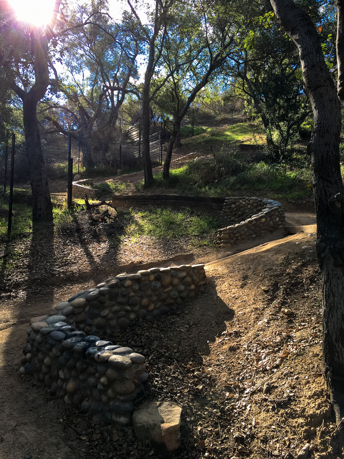
Although there is an extensive network of trails in this neighborhood, this particular route starts on the relatively new Descanso Trail, which begins – as you’d expect – near the entrance to the Descanso Gardens. From the street, the trailhead just looks like a delivery access point for the Gardens, but upon closer examination you’ll see it’s a wide, well-established footpath.

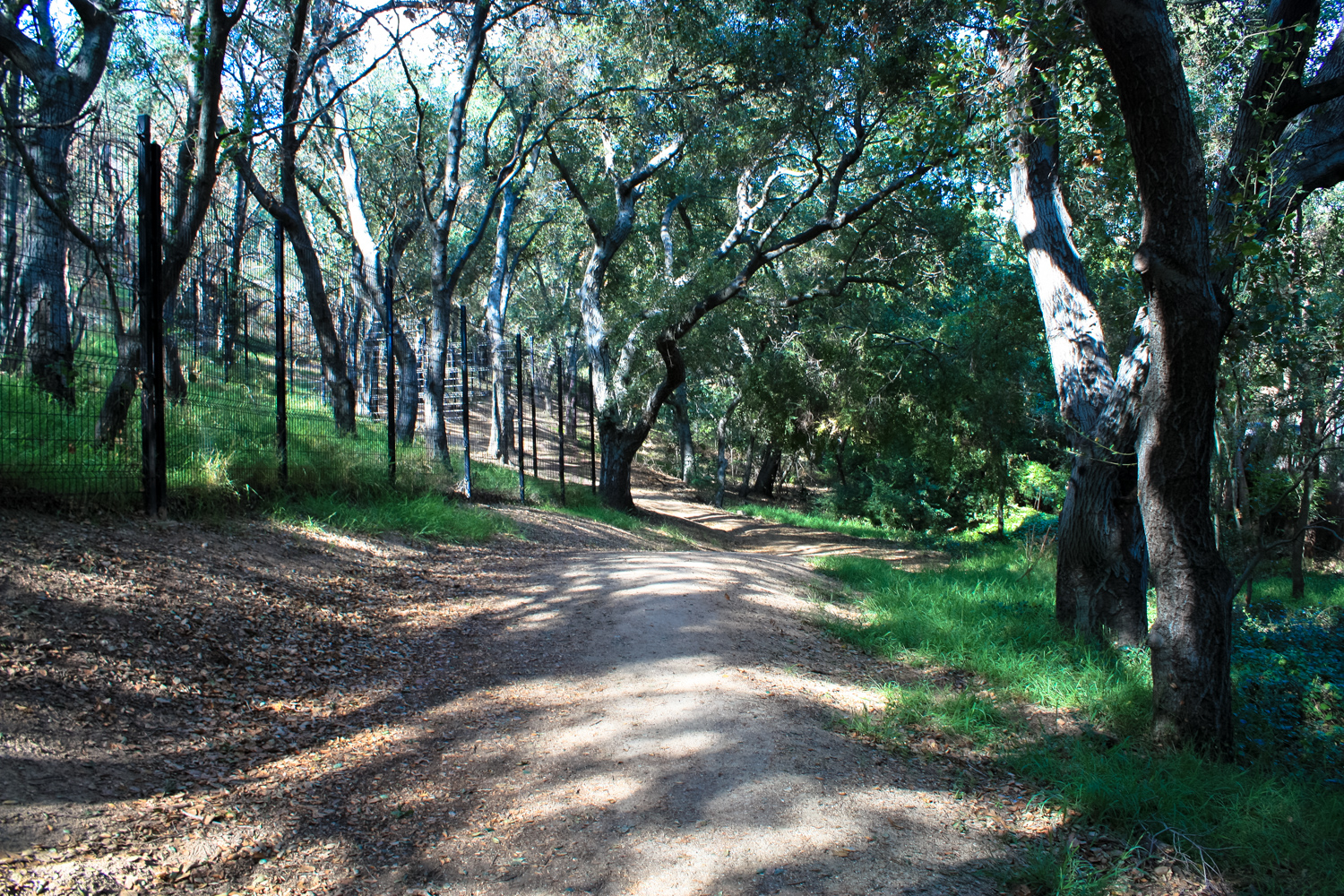
This multi-use trail begins by skirting the northwestern edge of the Gardens through a beautiful grove of oak trees, then makes a sharp turn toward the south at 0.1 mile, where it climbs up a series of steep, winding switchbacks.

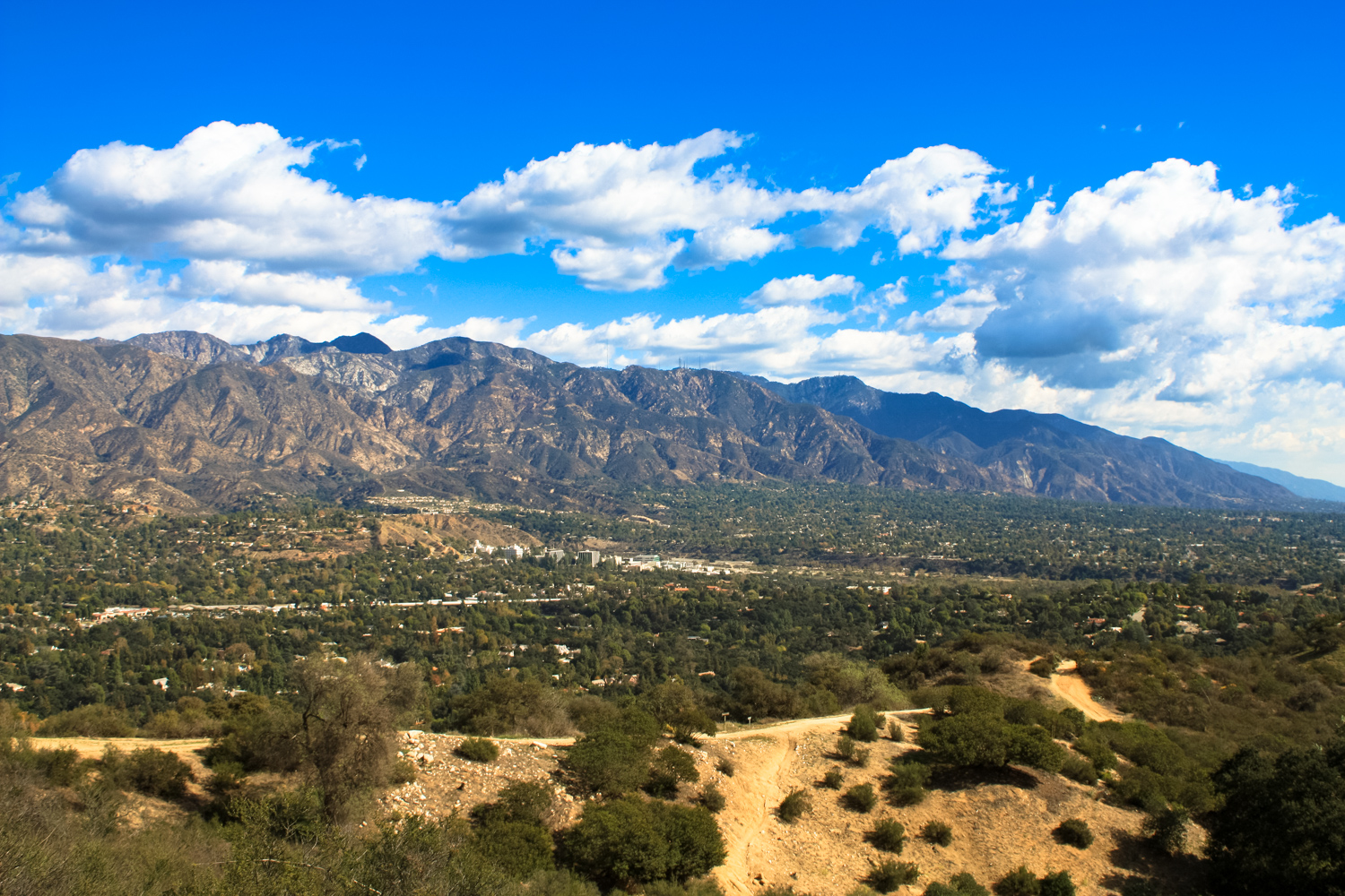
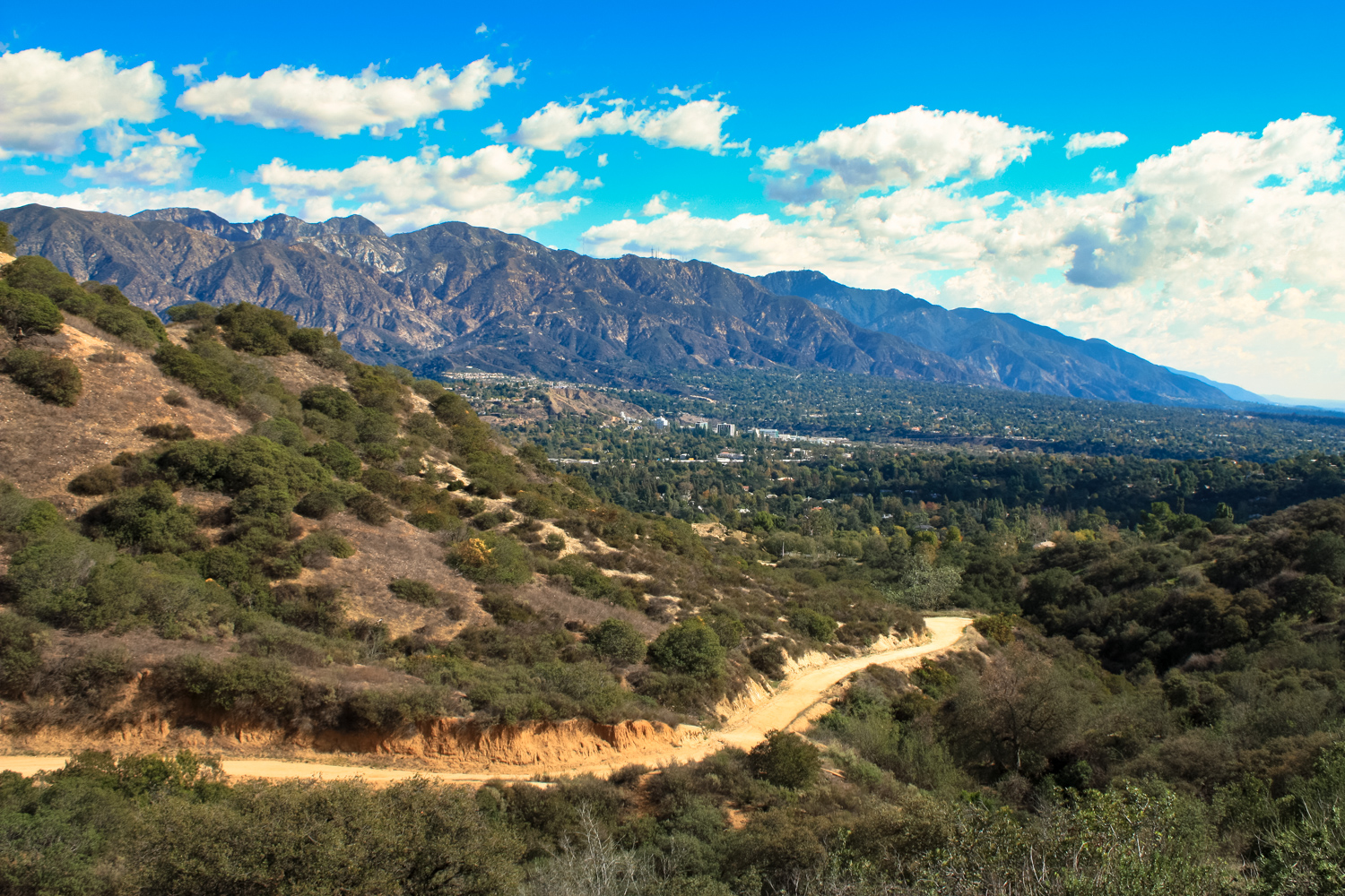
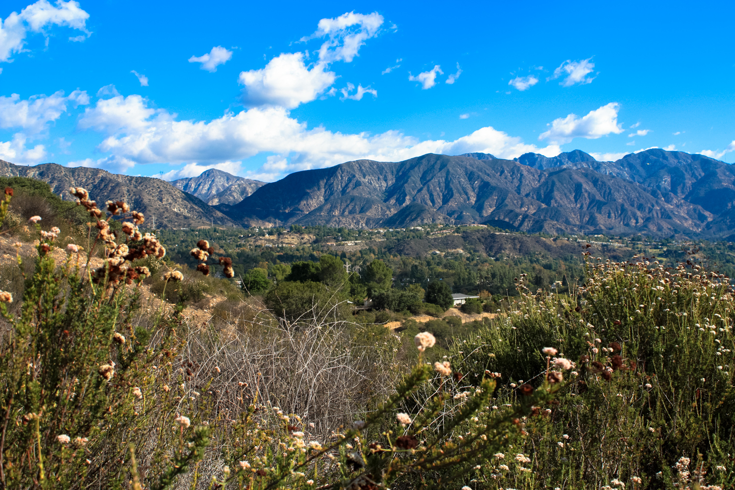
It’s a short climb up, though, and you’ll get a short break from the climb as well as some nice views of the Gardens just before you reach 0.2 mile. The trail follows a ridge westward, and after one more big climb, turns south at 0.4 mile. As you continue south, you’ll have nice views of the gardens, as well as some ever-increasingly spectacular looks north at the San Gabriel Mountains.


There’s an enormous patch of California buckwheat here that will sprout showy white pom-poms in early summer that will last for several months, slowly turning a rusty color as the weeks pass by.
The trail stays relatively level until it intersects with the Descanso Lateral just before the 0.7 mile mark … and after that, get ready for another incline.
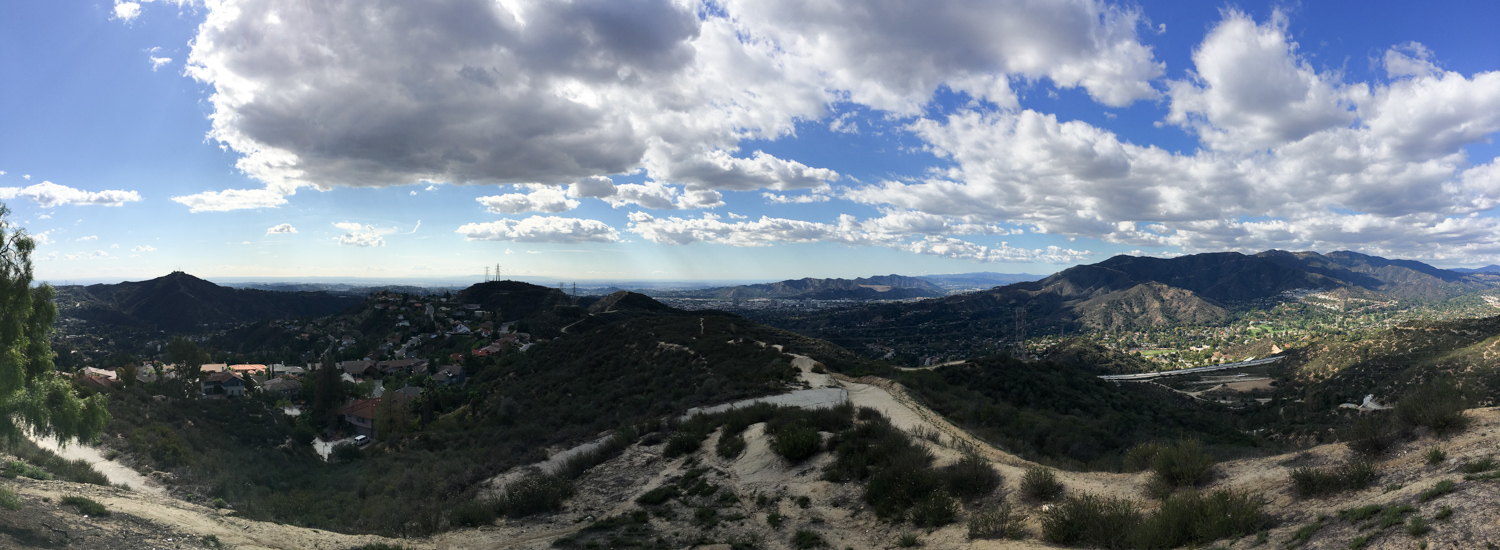
On clear days, you’ll be able to look straight down the path of the Glendale Freeway to downtown Los Angeles:

And you’ll also be able to see the sprawling network of trails and fire roads, as well as the old air raid siren atop Cerro Negro:

You’ll continue climbing toward the southwest before rounding a bend at the 1.3 mile mark. After that, it’s a slight downhill to the junction with the Cherry Canyon Trail at 1.5 miles. If you hear some gunshots while you’re hiking around this portion of the trail — no cause for alarm — you’re just near the Glendale Police Department’s firing range.
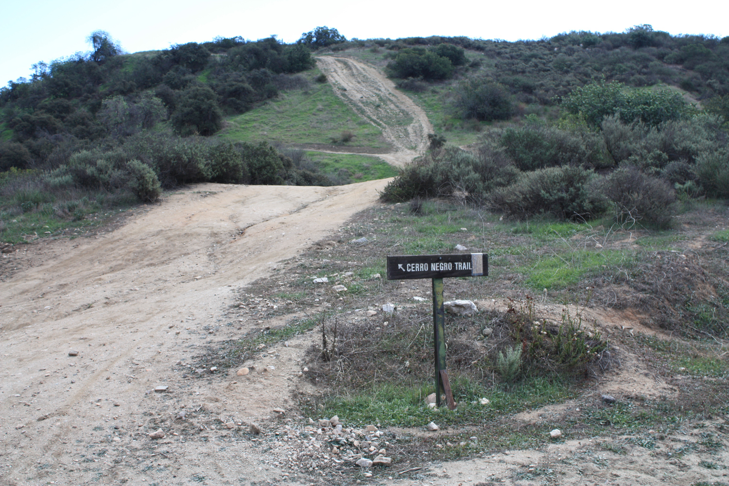
Keep right at the junction with Cherry Canyon and just to the south you’ll reach a major trail junction called Five Points at 1.6 miles. From here, you’ll want to keep to the left, heading east on the Cerro Negro Trail.

This stretch of trail leaves the fire roads and becomes a lovely single track passing through scrub oak with some spectacular views of the San Gabriels.

The trail hugs the north ridge of the terrain here as it undulates to the north and south, eventually swinging southward. Make a sharp right hand turn at 2.1 miles to head toward the Ultimate Destination Viewpoint at 2.2 miles.

Despite its name, this is neither the highest point on this route nor your turnaround point — but it does have great views and a water fountain if you need to fill up your water bottle.
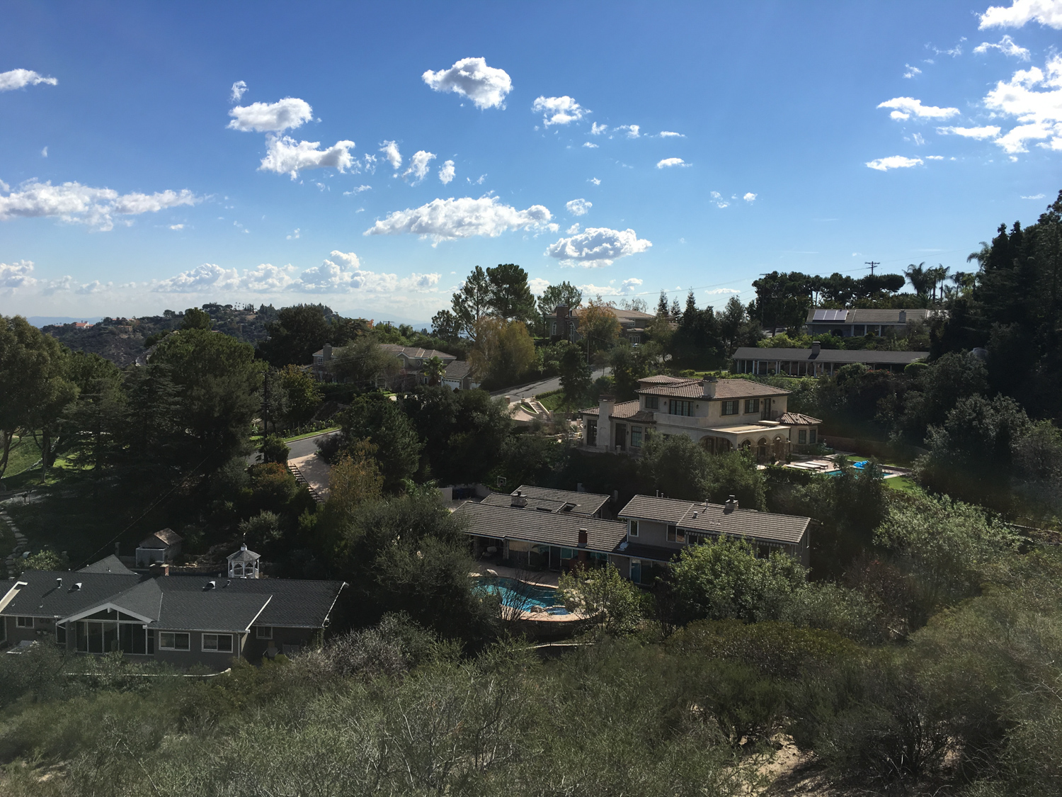
Enjoy the views, then continue heading south and climbing upward. Keep to the left at 2.3 miles and to the right at the next junction to stay on the trails and avoid inadvertently exiting into the surrounding neighborhood.

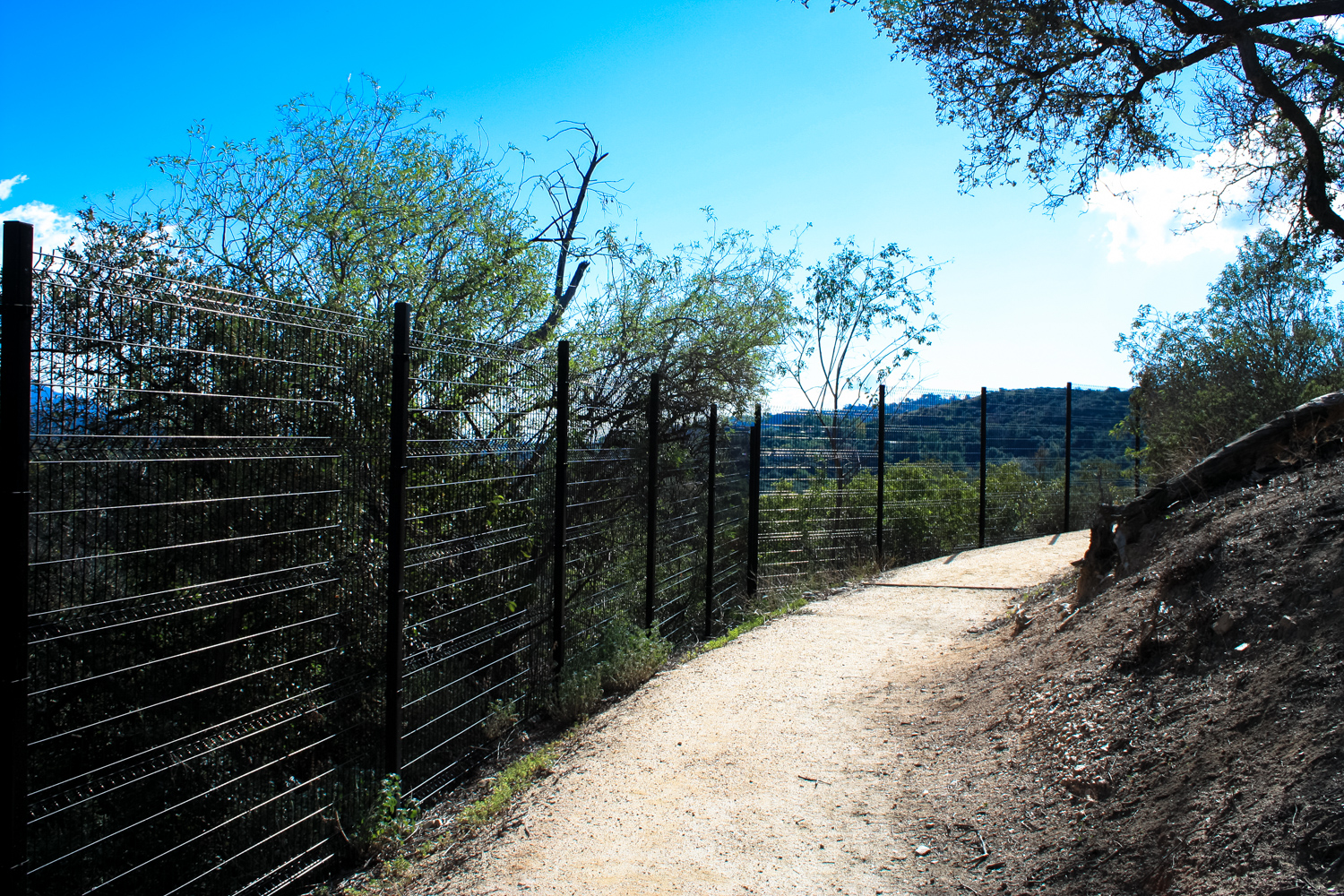
The single track heads west and rejoins the wider fire roads at 2.5 miles, and from there it’s just a short hike upward to the fenced off Cerro Negro air raid siren.


This was part of the civil defense system that surrounded Los Angeles during the Cold War period and beyond, and you can visit other remnants of this network on several other trails in the region. There were no radar installations or missile defense launch sites here, but this air raid siren was actively used until the early 1980s.
A few years ago, a military history buff traveled up to this lookout and offered up his thoughts and memories on this unique artifact:
When you’re done enjoying the views and history, follow the fire road back north. You’ll close the lollipop loop at 3.2 miles, and from there you can return back the way you came.
If you want to spend some more time outdoors, consider taking a stop at Descanso Gardens on your way out, too! The park is a beautiful oasis in the city, and features rotating art exhibits, a miniature train, well-stocked visitor center and gift shop, cafeteria, and several themed gardens including one focusing on California native plants.
Tags: cerro negro, civil defense system, descanso gardens, glendale, la canada flintridge, Nike missile site, san rafael hills


