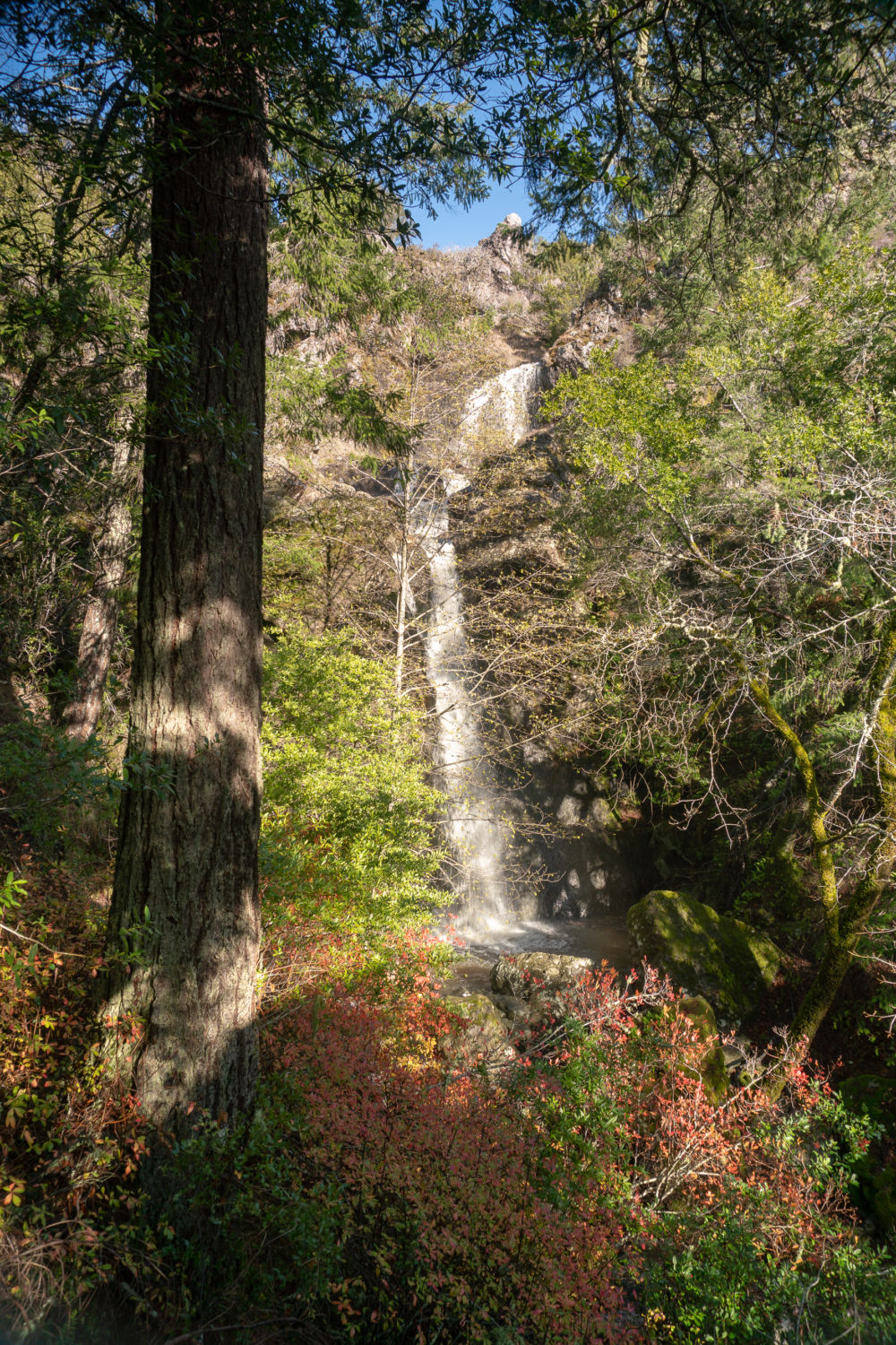
Carson Falls is a multi-tier waterfall that flows through Little Carson Creek in the Mount Tamalpais Watershed. Just four miles southwest of Fairfax, it is easy to get to and well signed—a satisfying waterfall hike with forest green views of Marin and Mount Tam that you can knock out in a few hours.
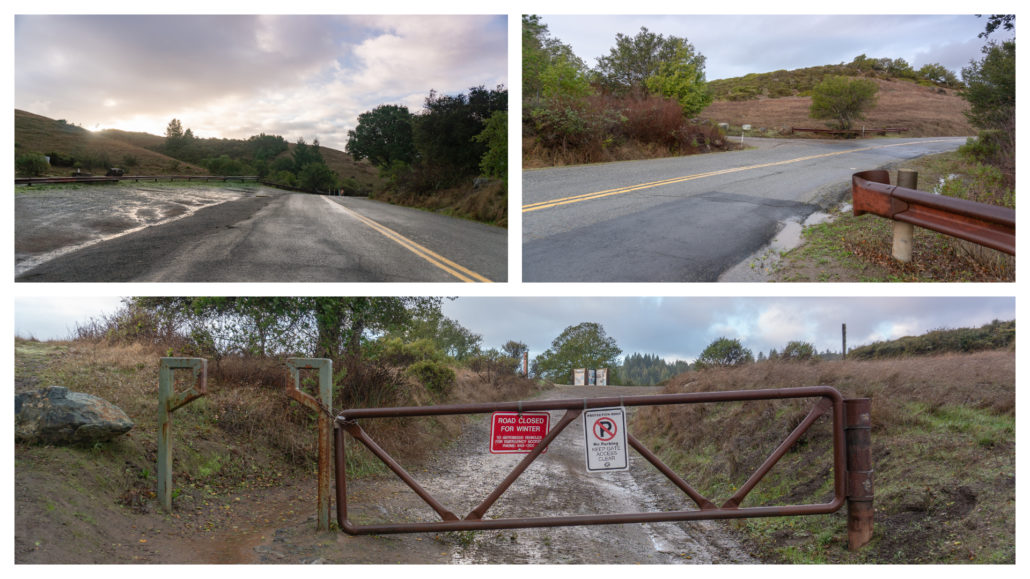
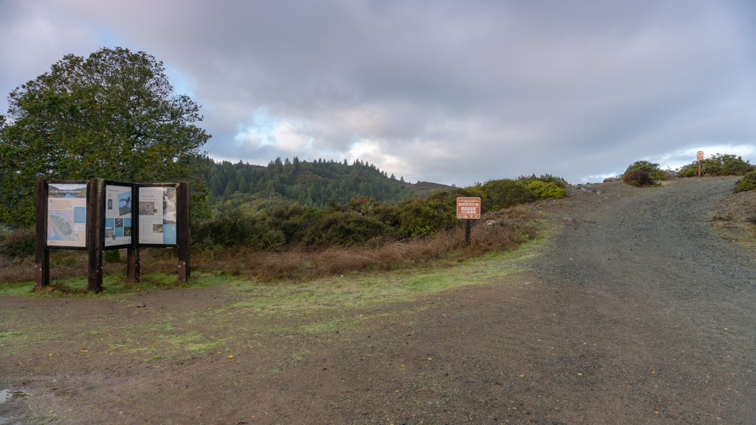
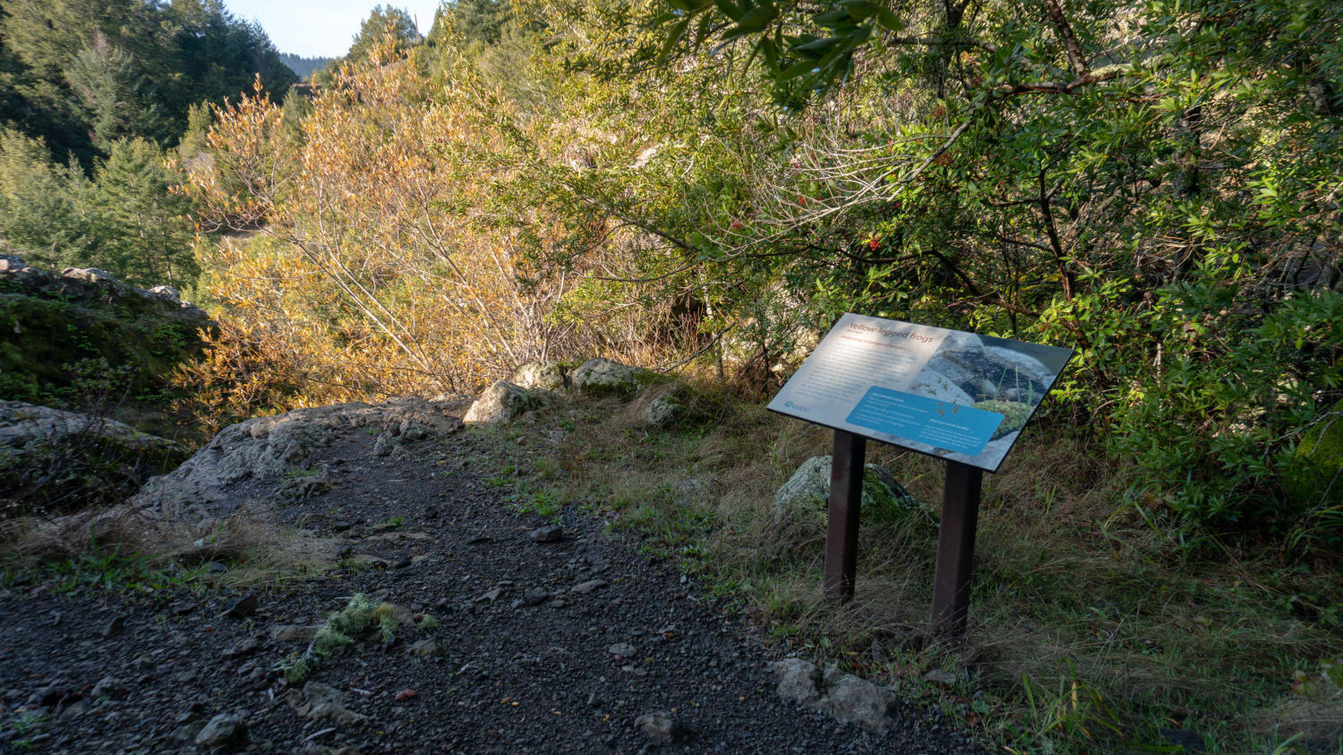
Start your hike from the Azalea Hill parking lot, carefully crossing Bolinas-Fairfax Road to Pine Mountain Road. Interpretive panels on your left share information about the Mount Tamalpais Watershed, habitats and wildlife of Pine Mountain, and the Foothill Yellow-legged Frog, which breeds at Carson Falls and is a Species of Special Concern.

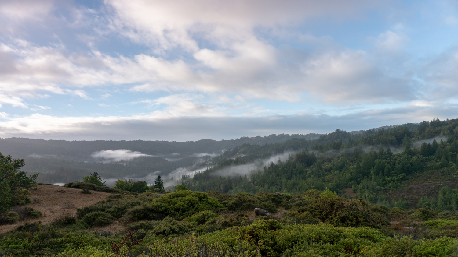
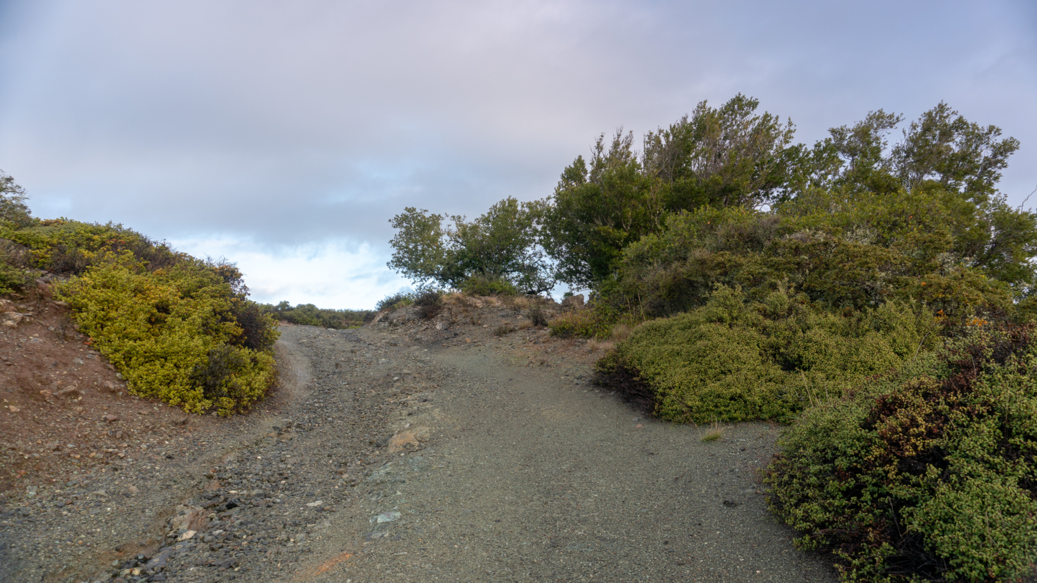
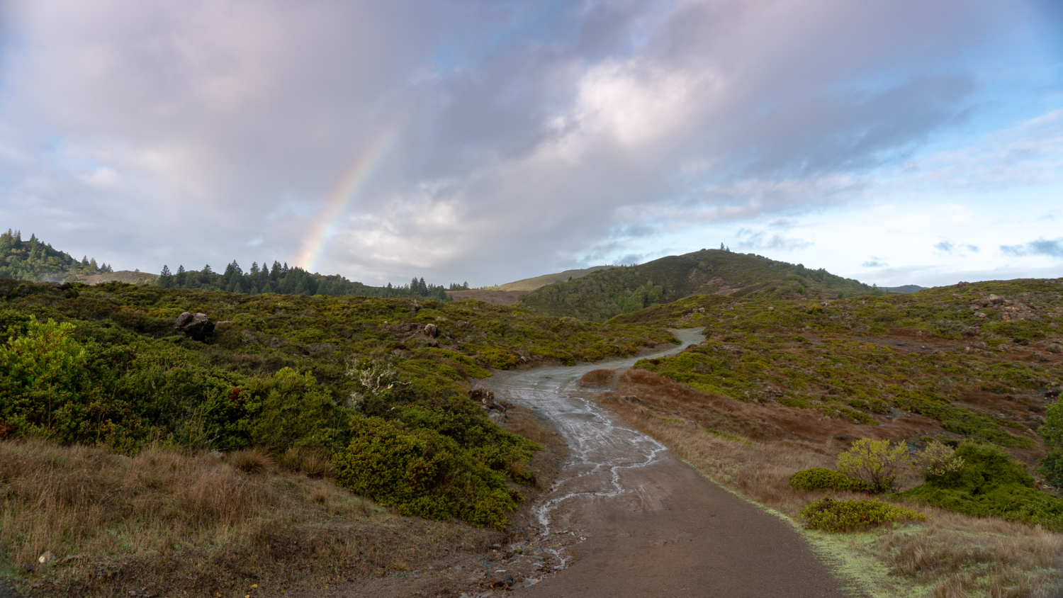
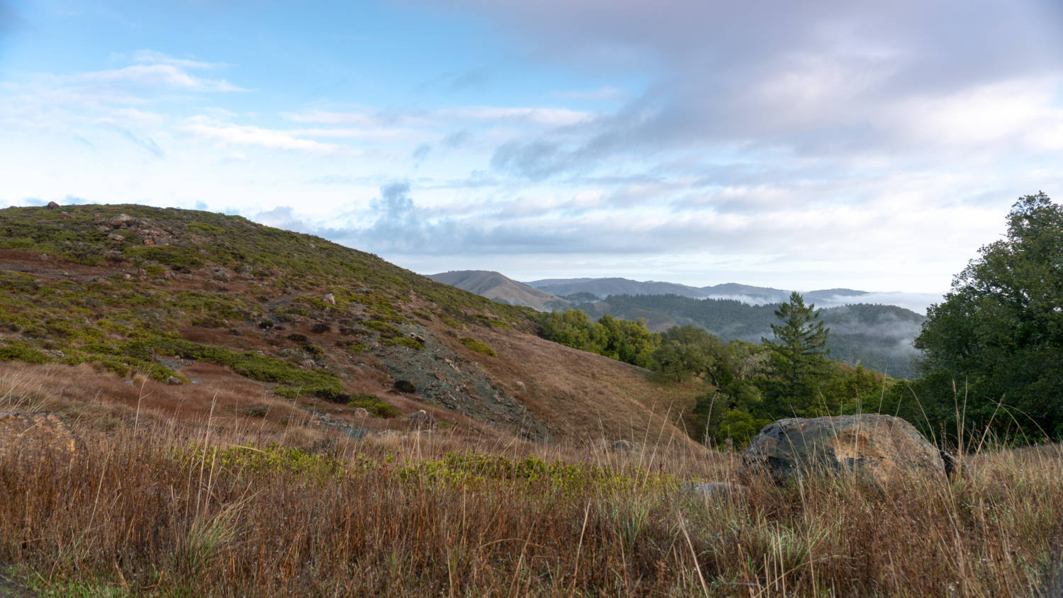
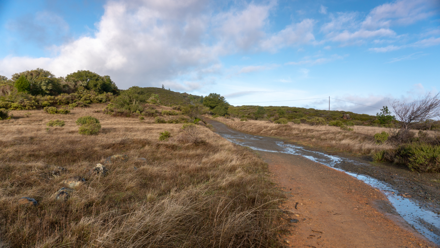
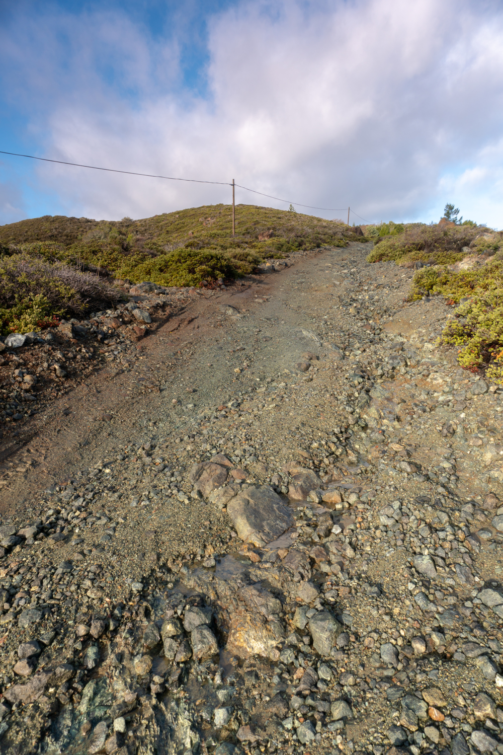
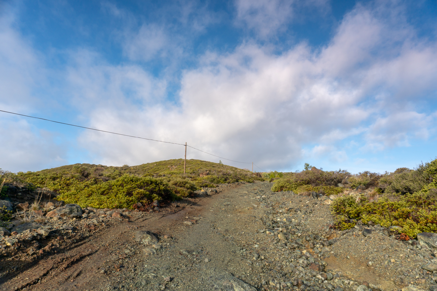
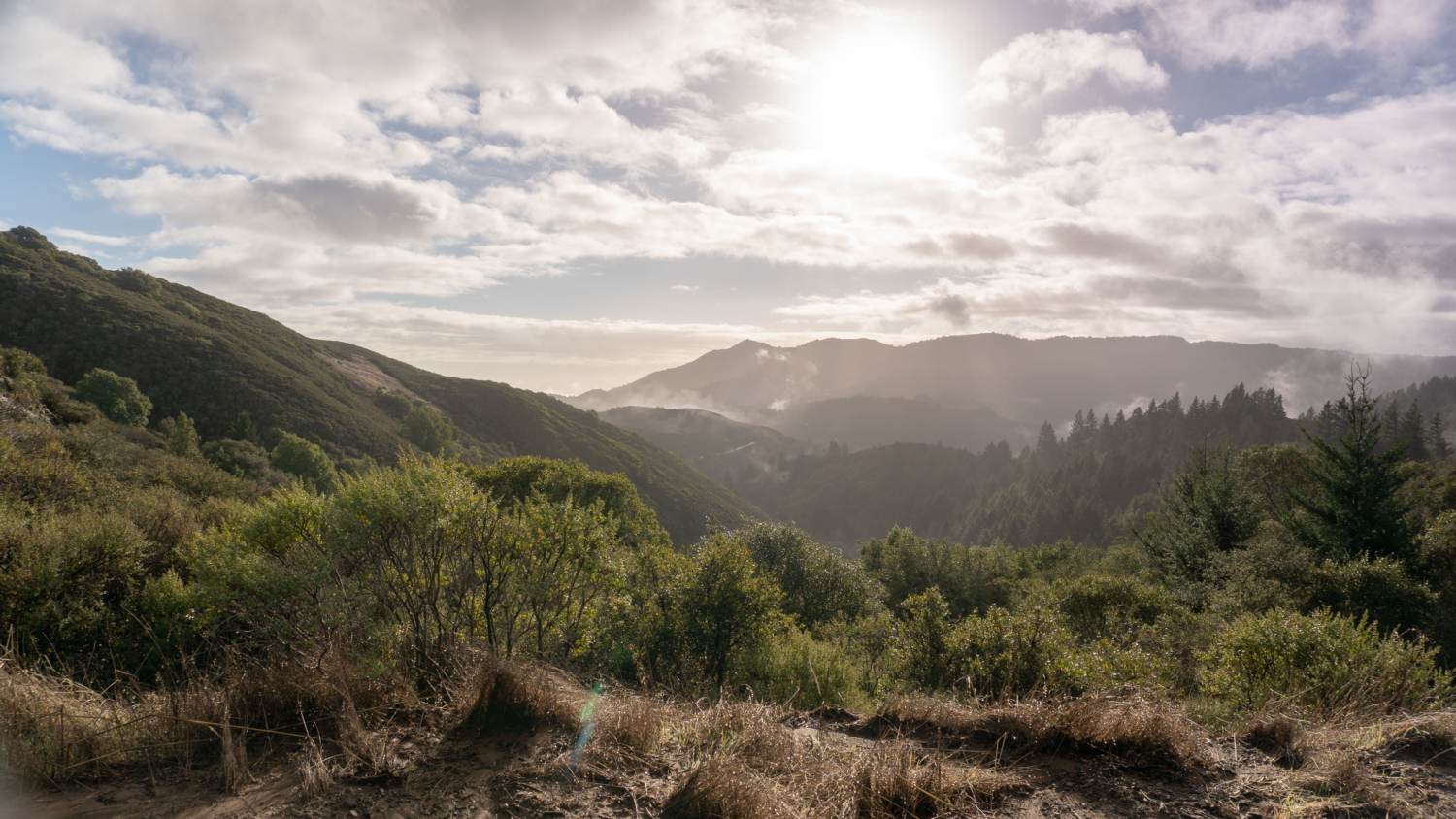
Past the information panel, hike northwest for 1.1 miles on the rocky fire road, gaining 400 feet beside thick, woody chaparral. A surprising vista of ridgelines dips and rolls into valleys and up to Mount Tam. The Mount Tamalpais Watershed, a source of drinking water for Marin residents, has 138 miles of hiking trails. Many are shared among runners, equestrians, and mountain bikers, who you may see whooshing down the mountain. In March 2018, the Marin Municipal Water District launched the “Slow and Say Hello” campaign, a good reminder to all of us to be aware and respectful of folks enjoying the trails in all kinds of ways.
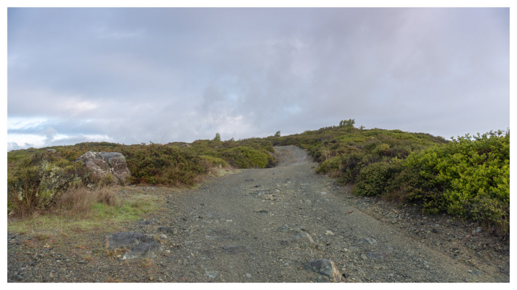
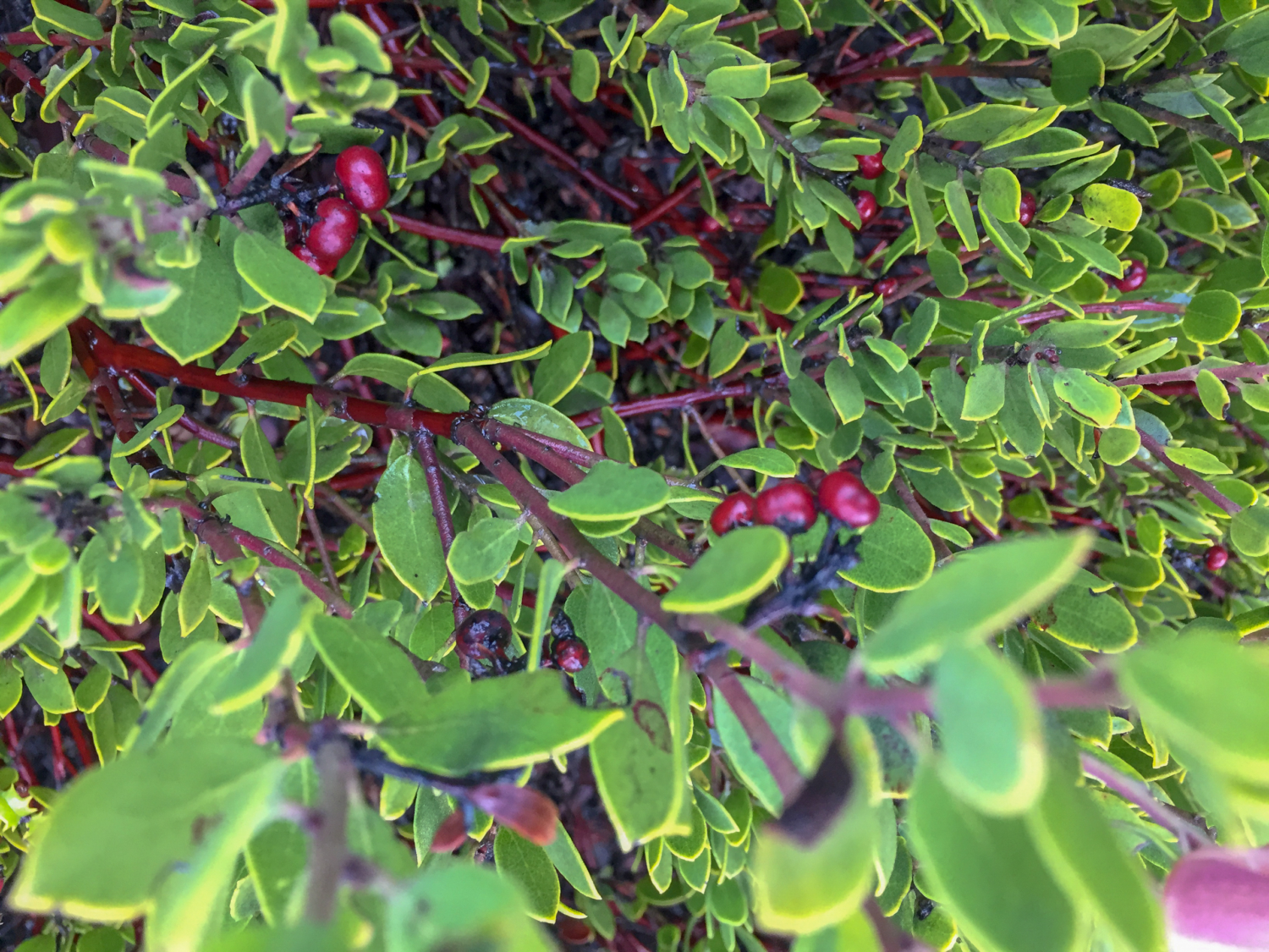
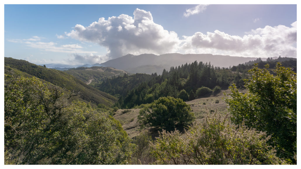
Hike past dense mats of manzanita with birds flitting among the brush. The occasional bay, oak, and Douglas fir tree crops up here and there, but you are for the most part out in the open. Take a moment to peak behind you to see Mount Tam’s East Peak, Middle Peak, and West Peak rising to the southeast. If you look carefully, you can also see a tiny sliver of Alpine Lake to the south, one of seven reservoirs in the Marin Municipal Water District.

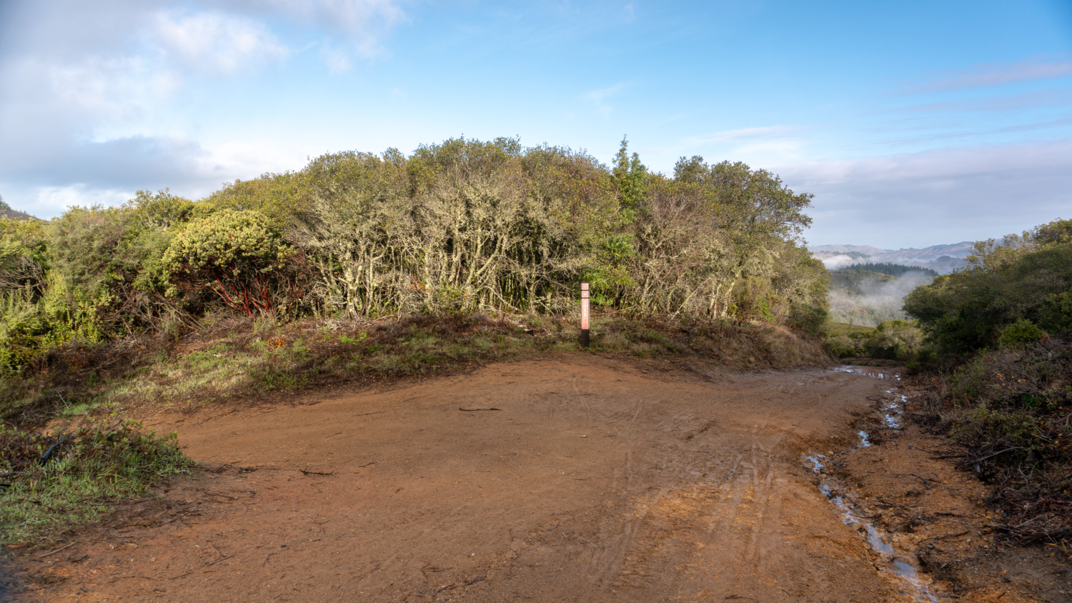
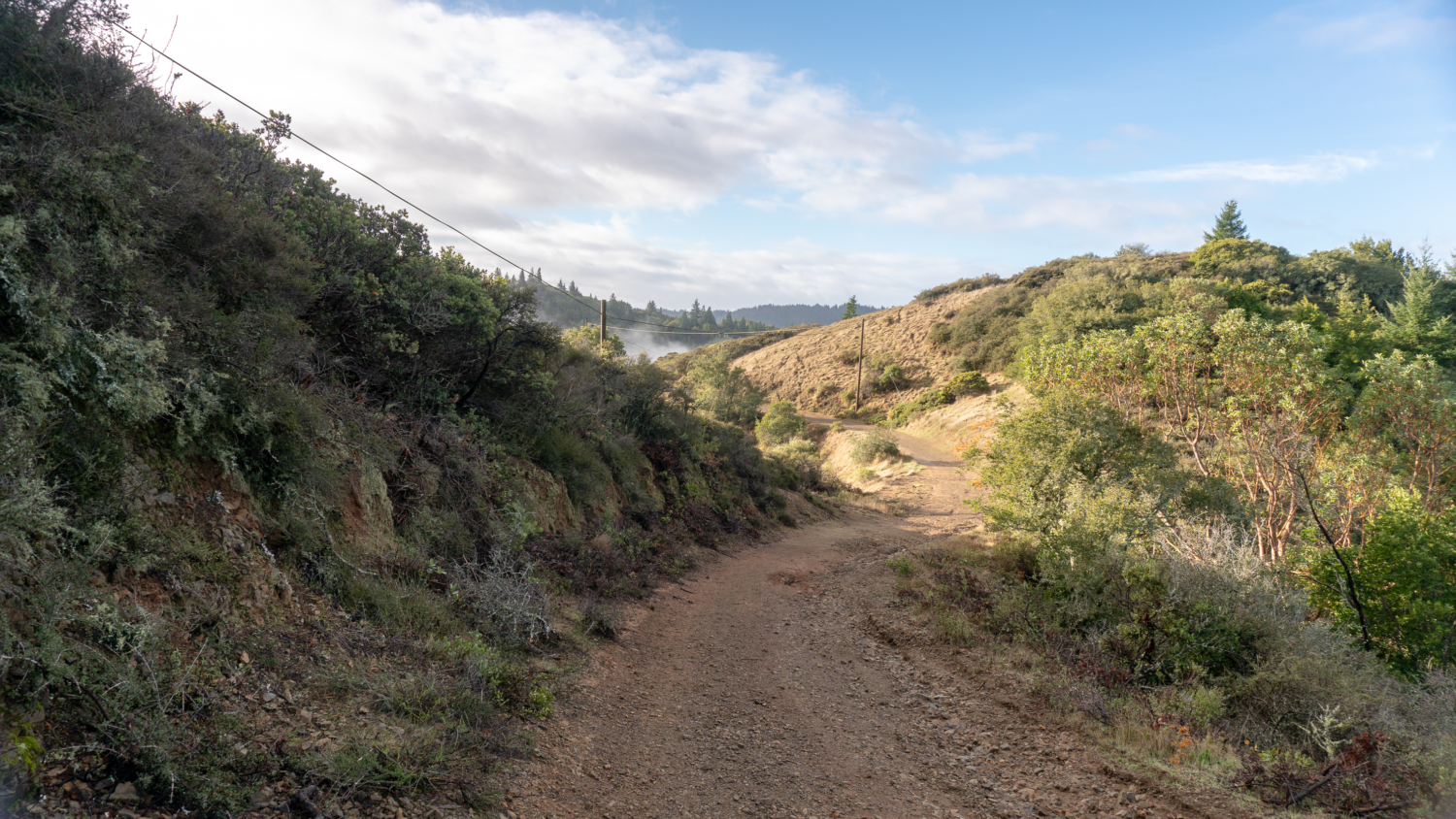
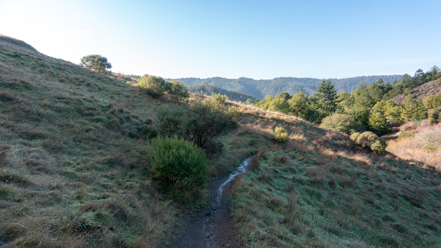
At the 1.1 mile-mark, turn left onto Oat Hill Road towards Carson Falls. Descend southwest on the fire road for 0.3 miles past grasslands, oak, and madrone. Pine Mountain, at 1,762 feet, is to the northwest, and if you squint, you can see the Pine Mountain Fire Road curving across a saddle up towards the summit. Further along Oat Hill Road, look southeast to see Mount Tam’s three peaks standing tall over the Mount Tam Watershed.

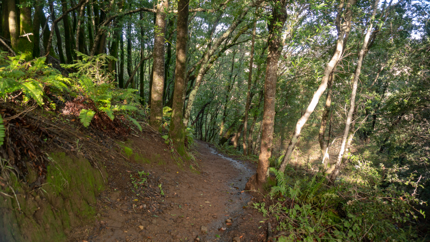
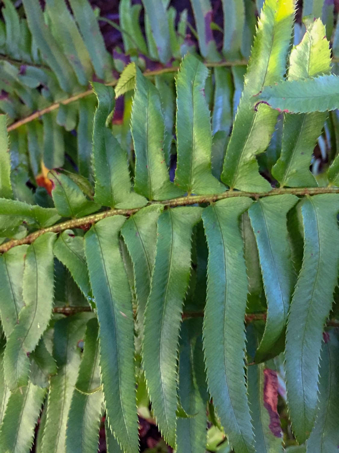
At the 1.4 mile-mark, turn right onto the Carson Falls Trail. The single-track trail descends 200 feet into a shady forest of bay laurel, sword fern, and coastal wood fern.

Pop out of the shade into grasslands, passing the Old Sled Trail junction on your left, an alternate route to Carson Falls that leads back to Oat Hill Road south of the Carson Falls Trail junction.
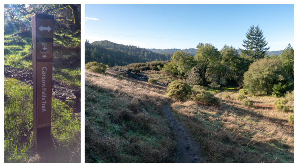
At the 1.8 mile-mark, arrive at an information panel for the Foothill Yellow-legged Frog. Carson Falls, along with Big Carson Creek, are two remaining areas in the Mount Tam Watershed where Foothill Yellow-legged Frogs breed and lay their eggs. Evidence points to a decline in their population in Oregon and California due to habitat loss, disease, and predators. Between March and June, frog docents monitor the frogs at Carson Falls, provide information to visitors, help folks spot the frogs, and encourage dog owners to keep their dogs leashed to protect the frogs’ vulnerable egg masses on the creek’s edges.

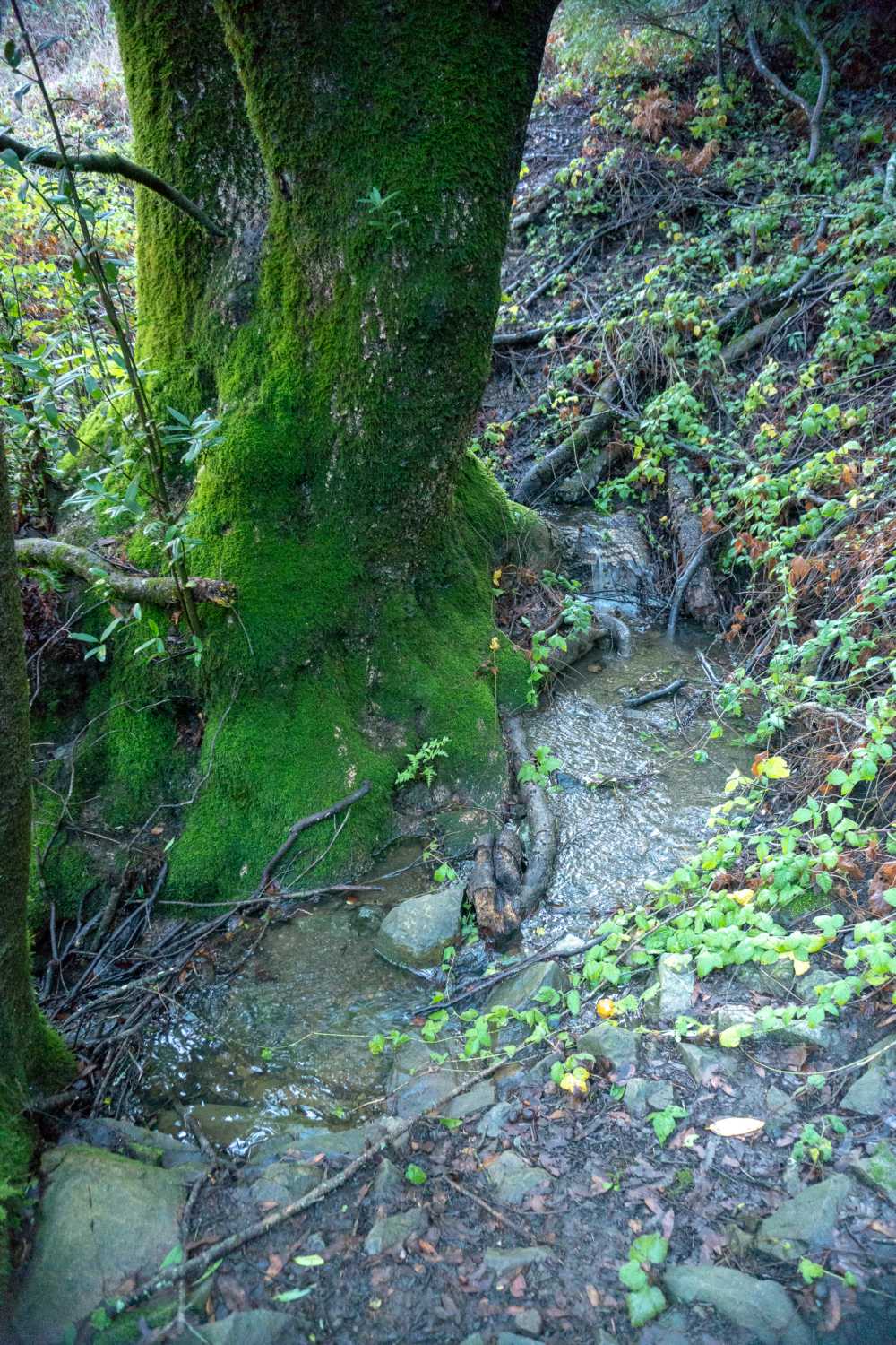
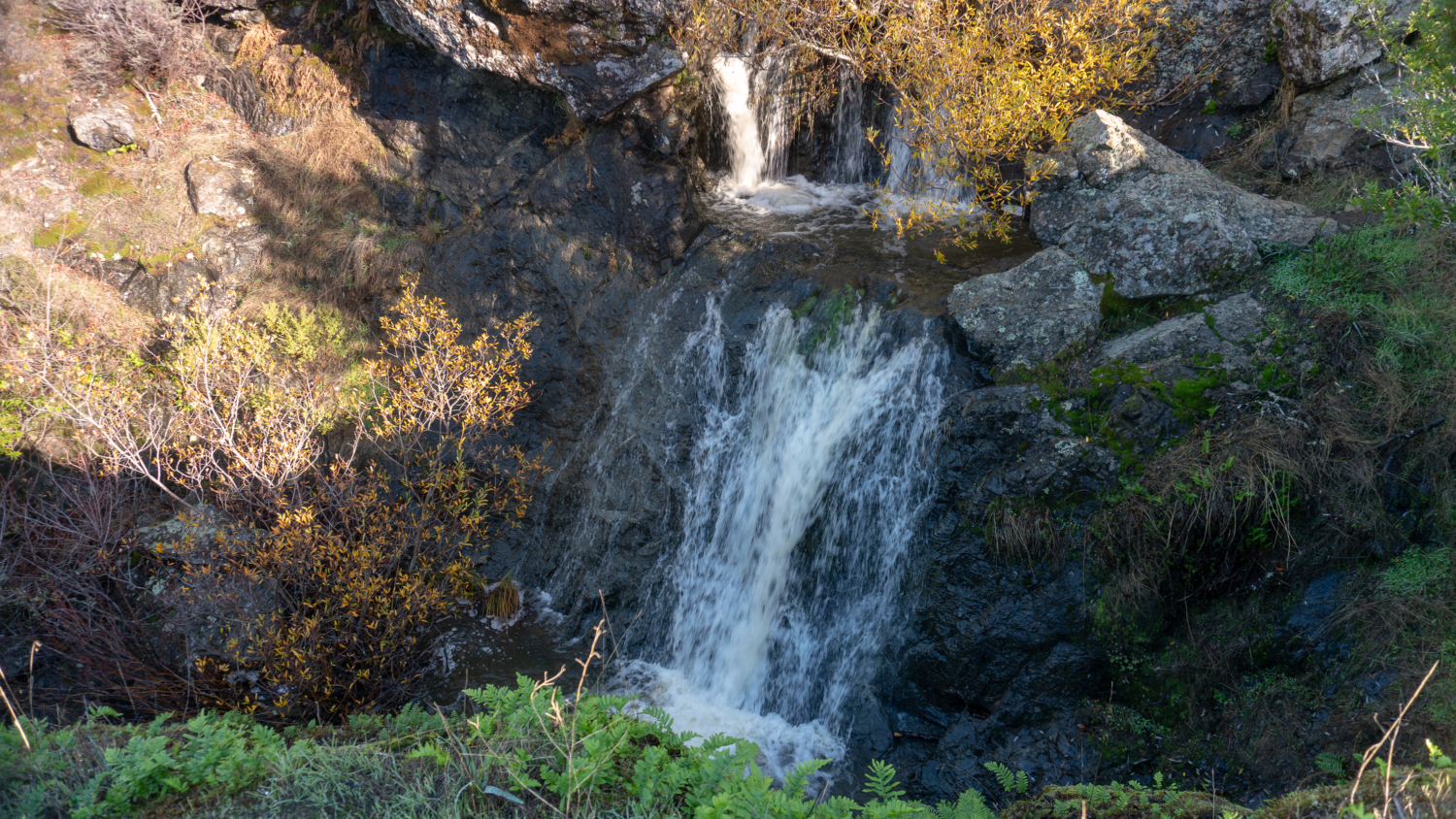
Bear left past the Foothill Yellow-legged Frog information panel to the upper overlook of Carson Falls. The falls are made up of several tiers (I counted at least six) of multiple heights that flow down Carson Creek and ultimately into Kent Lake, a reservoir and source of drinking water for Marin residents. At this overlook you have a nice top-down view of the upper tiers of the waterfall. The tallest tier is below this overlook and is about 40 or 50 feet tall. Some folks turn around here and call it a day, but if you can, it’s nice to visit the rest of the overlooks to see different perspectives of the falls.
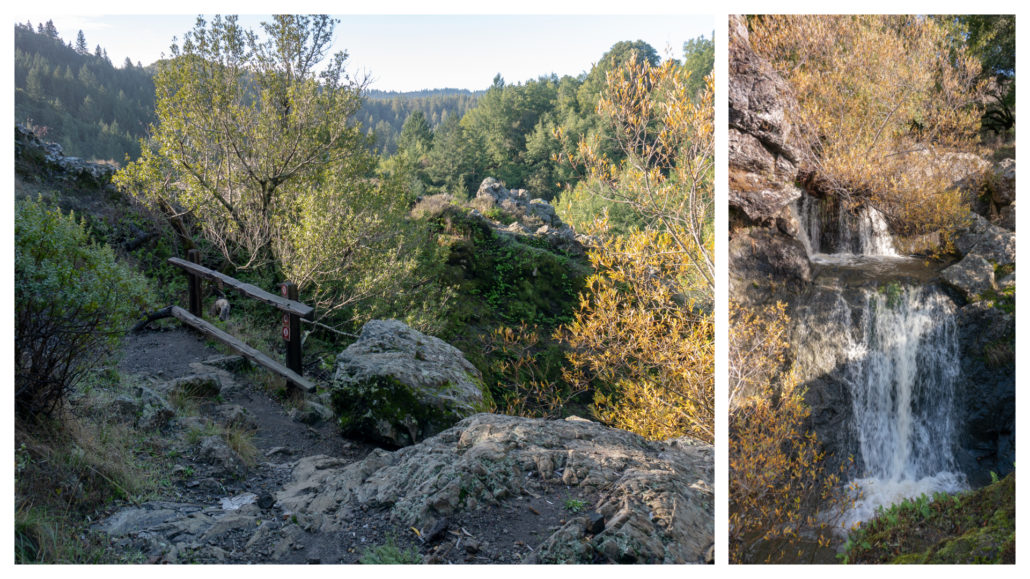
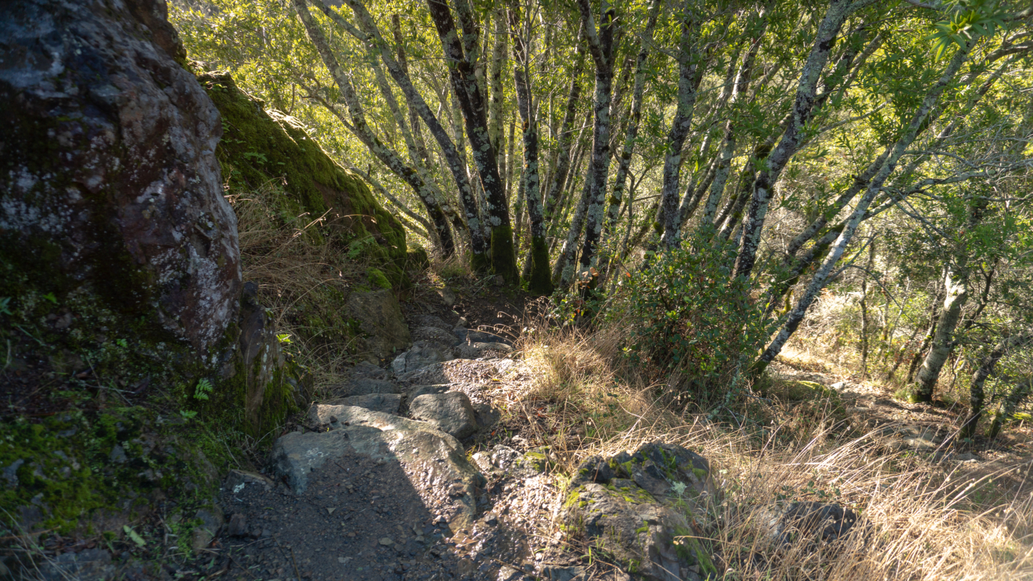
Let’s keep going for the best views of the falls yet. Retrace your steps back to the information panel, and then bear left to take the wooden bridge over Carson Creek. The narrow dirt trail climbs, then sharply descends 75 feet on stone steps. In 2009, there was a major trail restoration that rerouted the Carson Falls Trail and added signage about the Foothill Yellow-legged Frogs to make it safer for hikers and froggies.

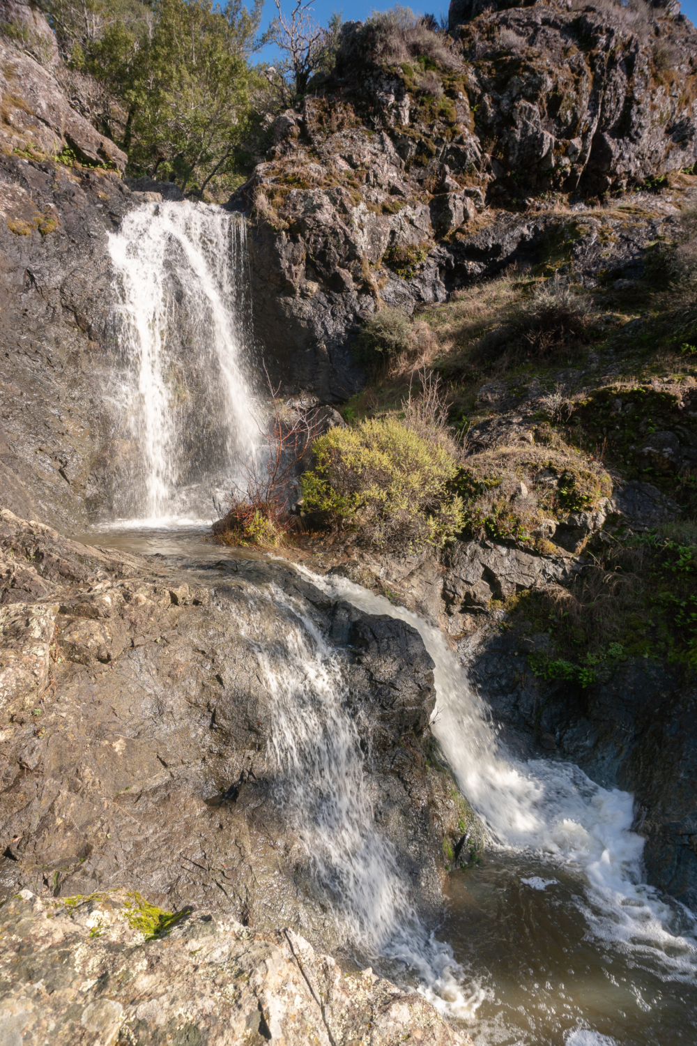
At the 1.9 mile-mark, duck under thick vegetation on your left to reach the middle overlook. Here you have an eye-level view of the upper tiers of the waterfall. A boulder rests on the waterfall’s edge, a nice spot for a break and for watching the falls. You may even encounter trail art 🙂
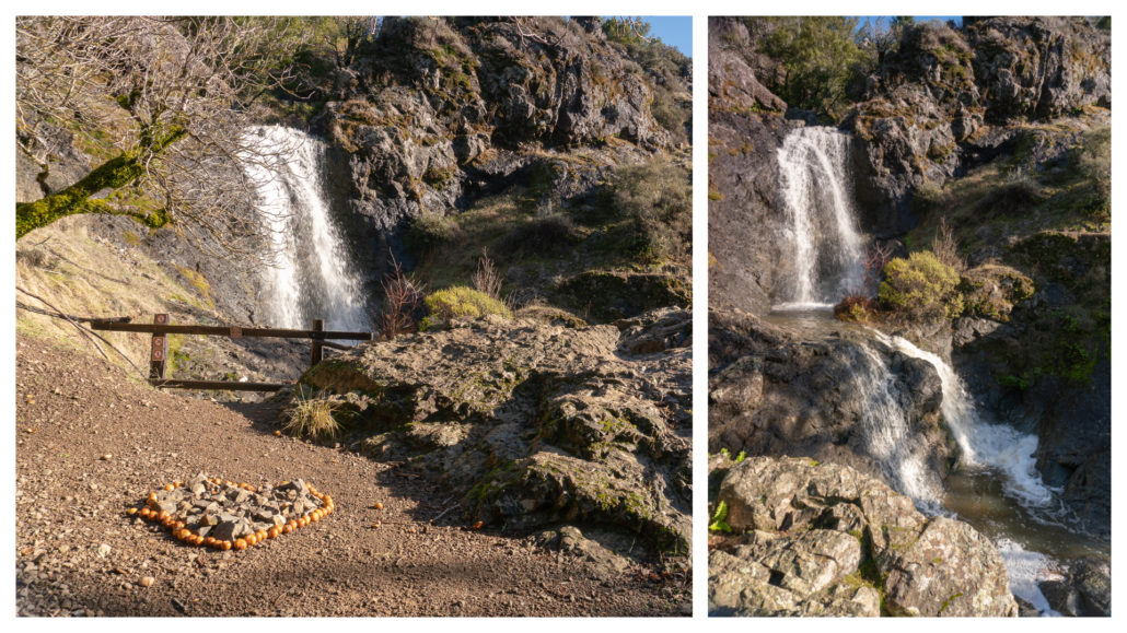
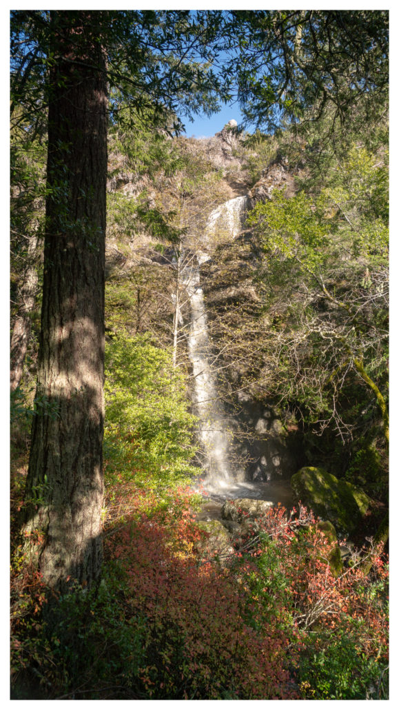
When ready, return to the trail and descend another 30 feet to the lower overlook to see the tallest tier. Vegetation is slowly creeping in, slightly obscuring the falls. Still, it is a peaceful and impressive sight. If you look carefully, you can see the upper tiers above.
When ready, retrace your steps to Oat Hill Road and Pine Mountain Road to return to the trailhead.
Notes:
- Leashed dogs are permitted
- Bikes are permitted on Pine Mountain Road and Oat Hill Road, but not on the Carson Falls Trail.
- There is no entrance fee and parking is free.
- The Mount Tam Watershed is open from sunrise to sunset.
- Here is a trail map via www.marinwater.org
- There are no restrooms at the Azalea Hill parking lot or on the trail.
Tags: Carson Falls, Marin, marin municipal water district, san francisco, Waterfall


