The Cape Horn Loop is an iconic Columbia River Gorge hike, with epic views, waterfalls, and interesting botany, geology, and history, too. There are wildflowers in the spring and summer and great fall color in the cooler months–all on land that could have very easily been a housing development and off-limits to the public.
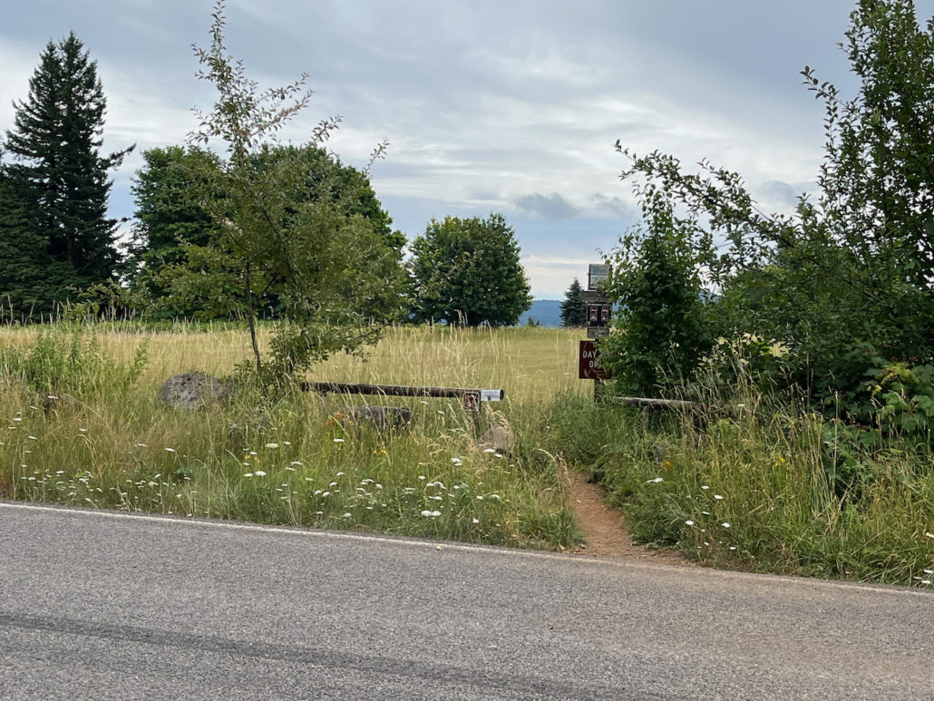
This trail begins at the parking lot for the Salmon Falls Park and Ride, run by Skamania County as part of the Gorge TransLink. The parking area is small, so if you can you may want to take a look at utilizing this service to drop you off and pick you up here–the TransLink services a large area of the Columbia River Gorge and both Portland and Vancouver, and is 100% free. Check their website for more information and schedules.
If you drove, lock up your valuables, brush off your boots, hit the bathroom if needed (there is no potable water available here, FYI), and cross Salmon Falls Road at the crosswalk to begin your hike.
Although it is possible to hike the Cape Horn Loop in either direction (except between February 1st and July 15th when the lower portions are closed for peregrine falcon nesting), most people I talked to on the hike preferred to go counterclockwise starting with the Upper Trail. However, if you find you have a bit of trouble coming down some steep, slippery trails and would prefer to trudge UP those routes instead, by all means reverse the direction here. Just know that you’re going to be starting off with a pretty boring 1.2 mile slog on Cape Horn Road.
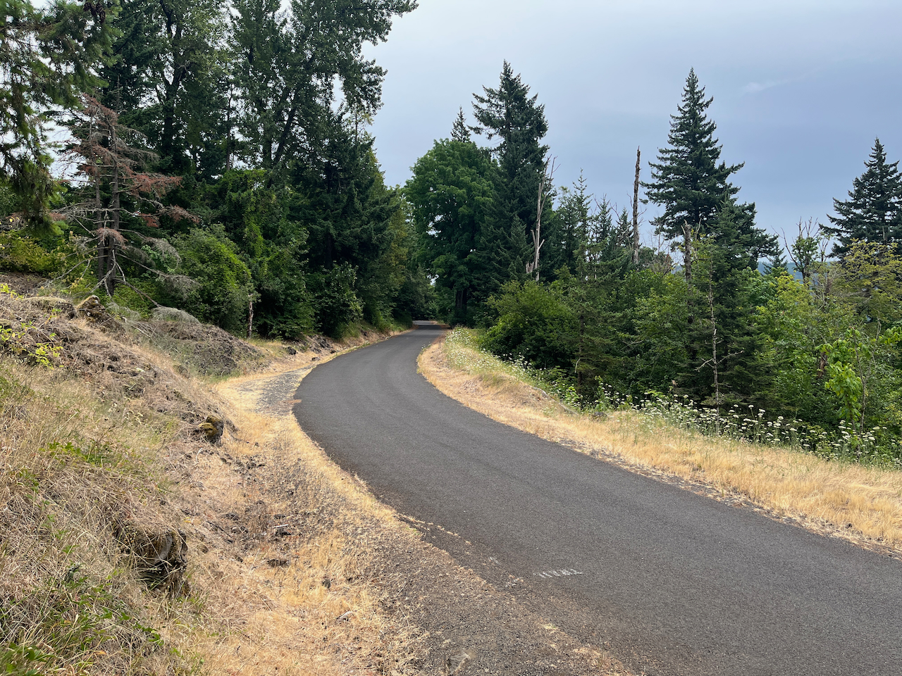
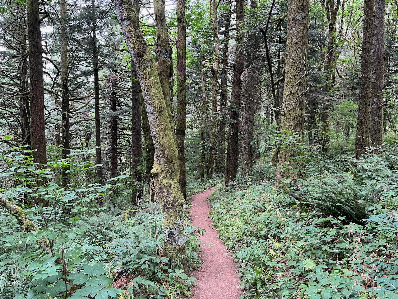
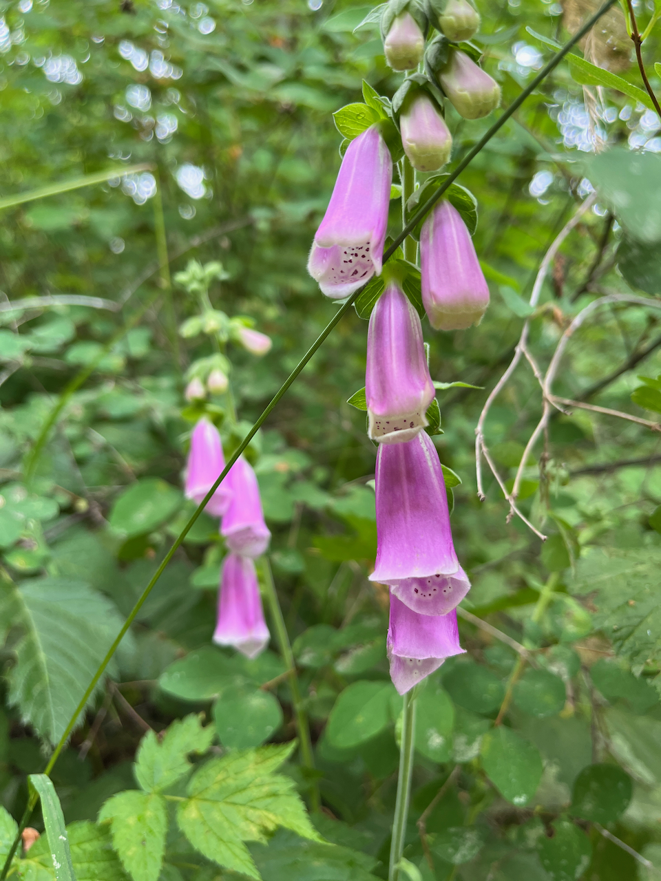
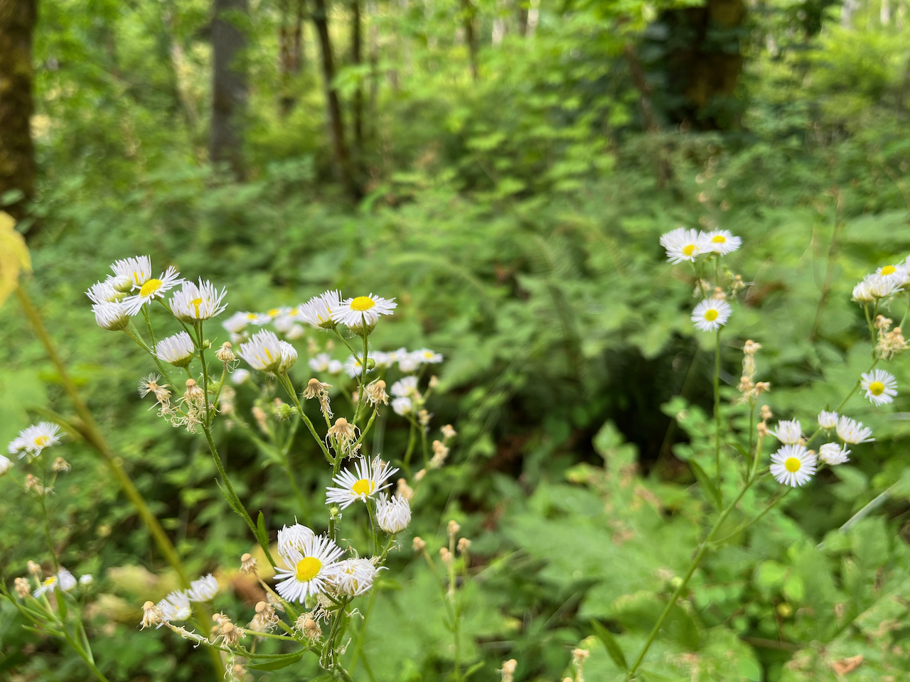
Stretch those legs out and head onto the Upper Trail, where you’ll enjoy the shade from iconic Columbia River Gorge firs and pines, as well as bountiful snowberries. Look out for fleabane, western columbine, and blackberries (and invasive foxglove). When I hiked this trail in late July, the blackberries were ALMOST ready to pick but not quite. Keep your eyes peeled (and be willing to take a few thorn pricks–berry picking on the trail is one of the joys of hiking in the northwest).
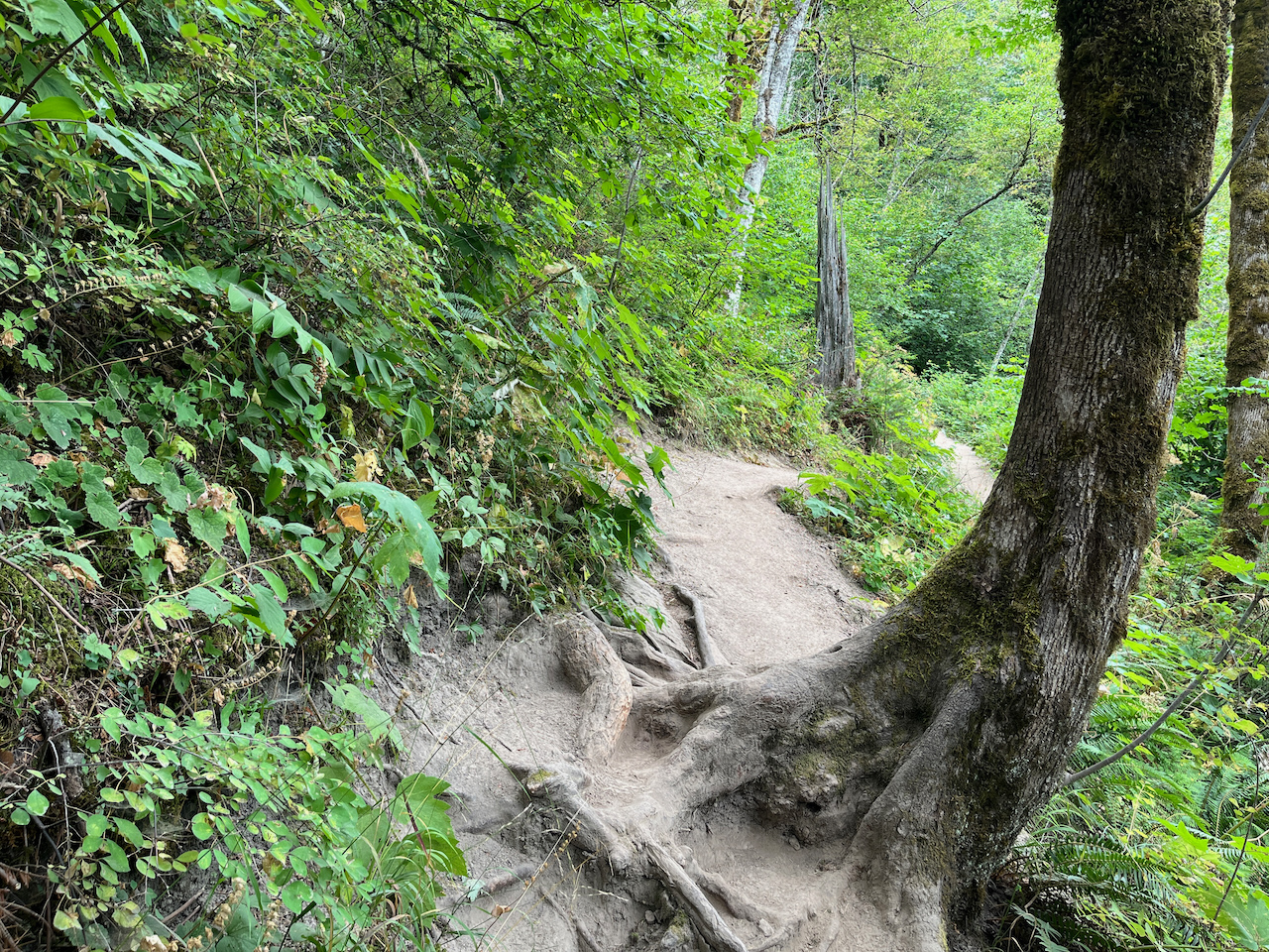
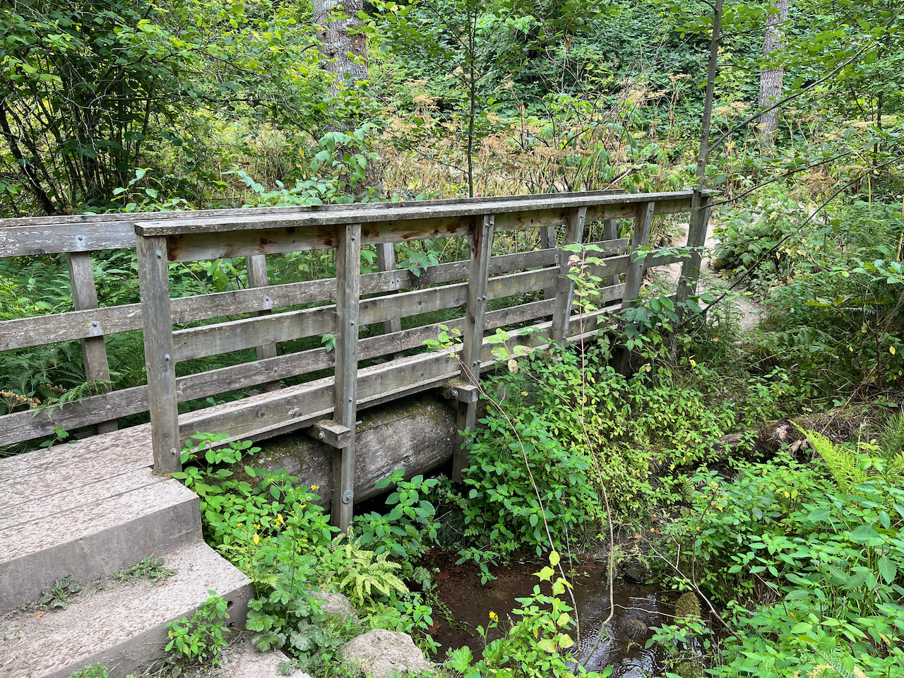
The trail crosses a small creek on a bridge and just before 0.4 mile, begins to make its way up a series of switchbacks. The elevation gain isn’t especially steep here, but it is very consistent. You won’t get many breaks on the way up unless you stop and take them yourself.

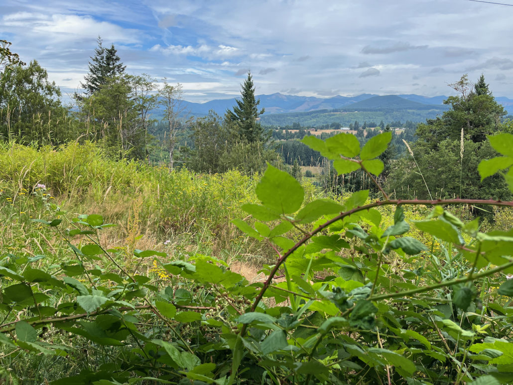
At just past the mile mark, the trail makes a turn toward the west and runs fairly parallel to a utility access road just to its north. Cons: you can see some high tension power line towers. Pros: you can also see some nice views to the northeast.
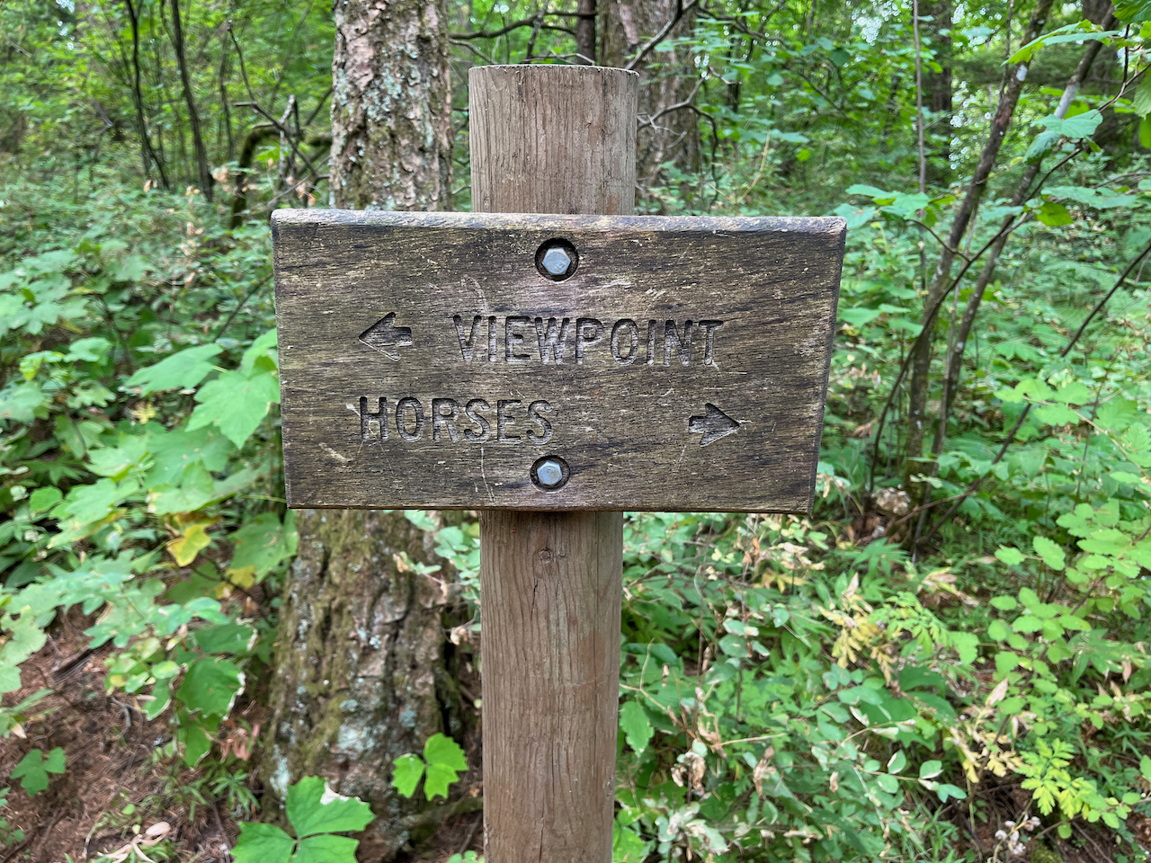
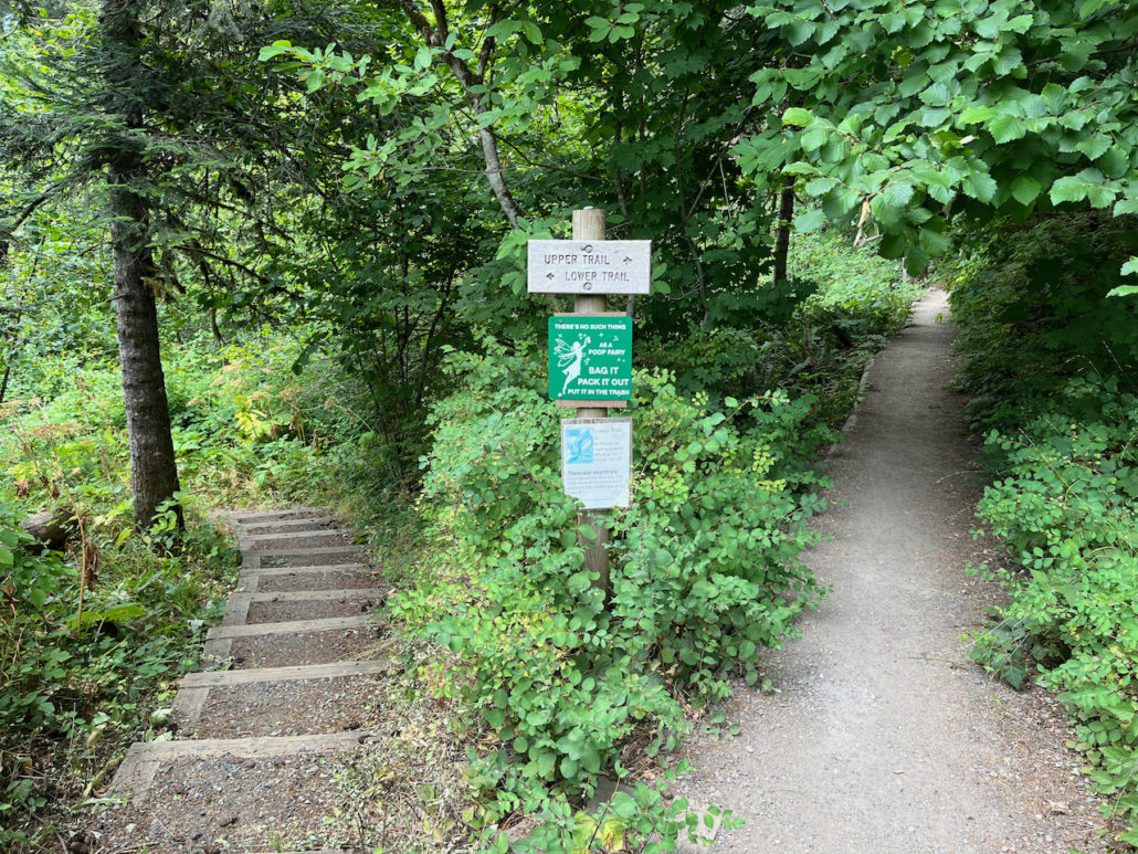
Continue on the trail heading west. On the Cape Horn Loop, you will encounter a number of junctions like this:

In almost all of these cases, keeping on the route that doesn’t say HORSES will take you to a nice little viewpoint or overlook before re-uniting you with the main loop trail again. So just remember, when you meet this sign in some form, just ask yourself, “am I a horse?” and go where there arrows tell you.
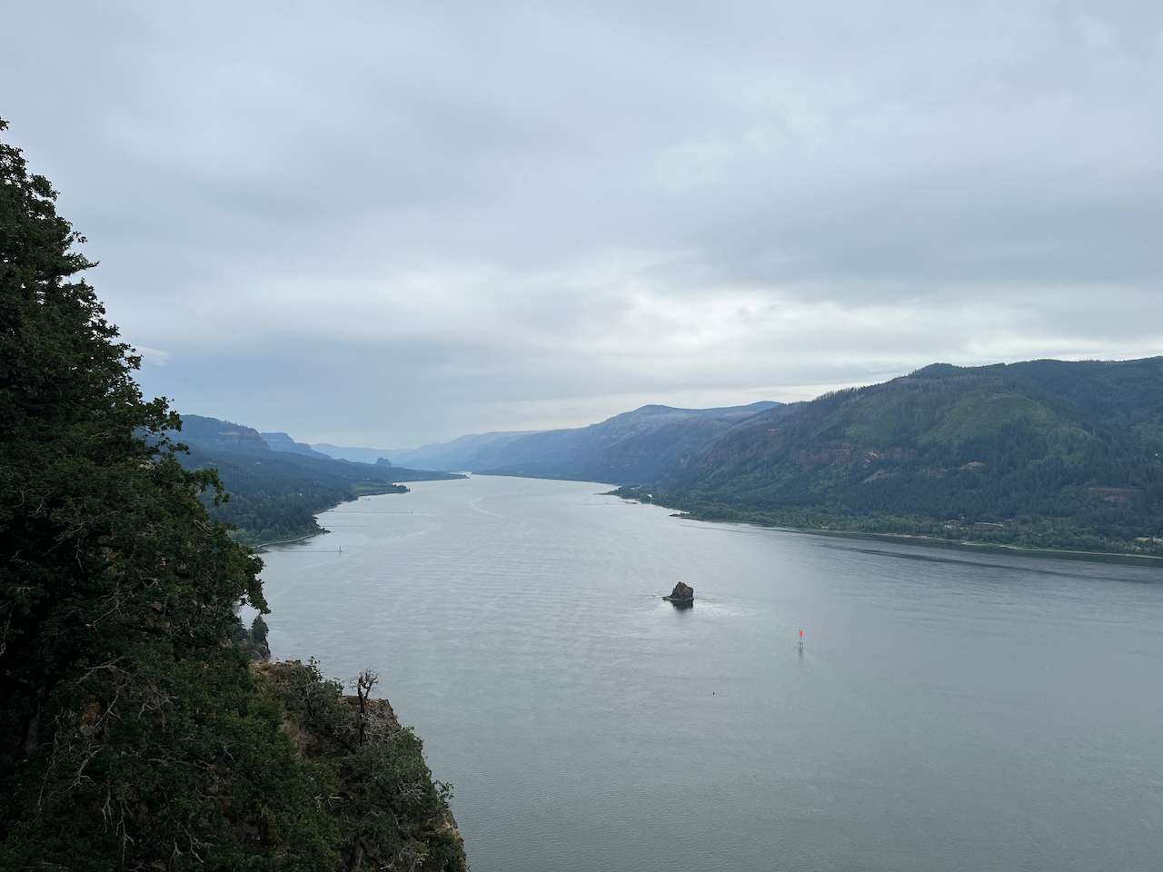
In this particular case, right around the 1.4 mile mark, you’ll head toward an overlook called Pioneer Point.
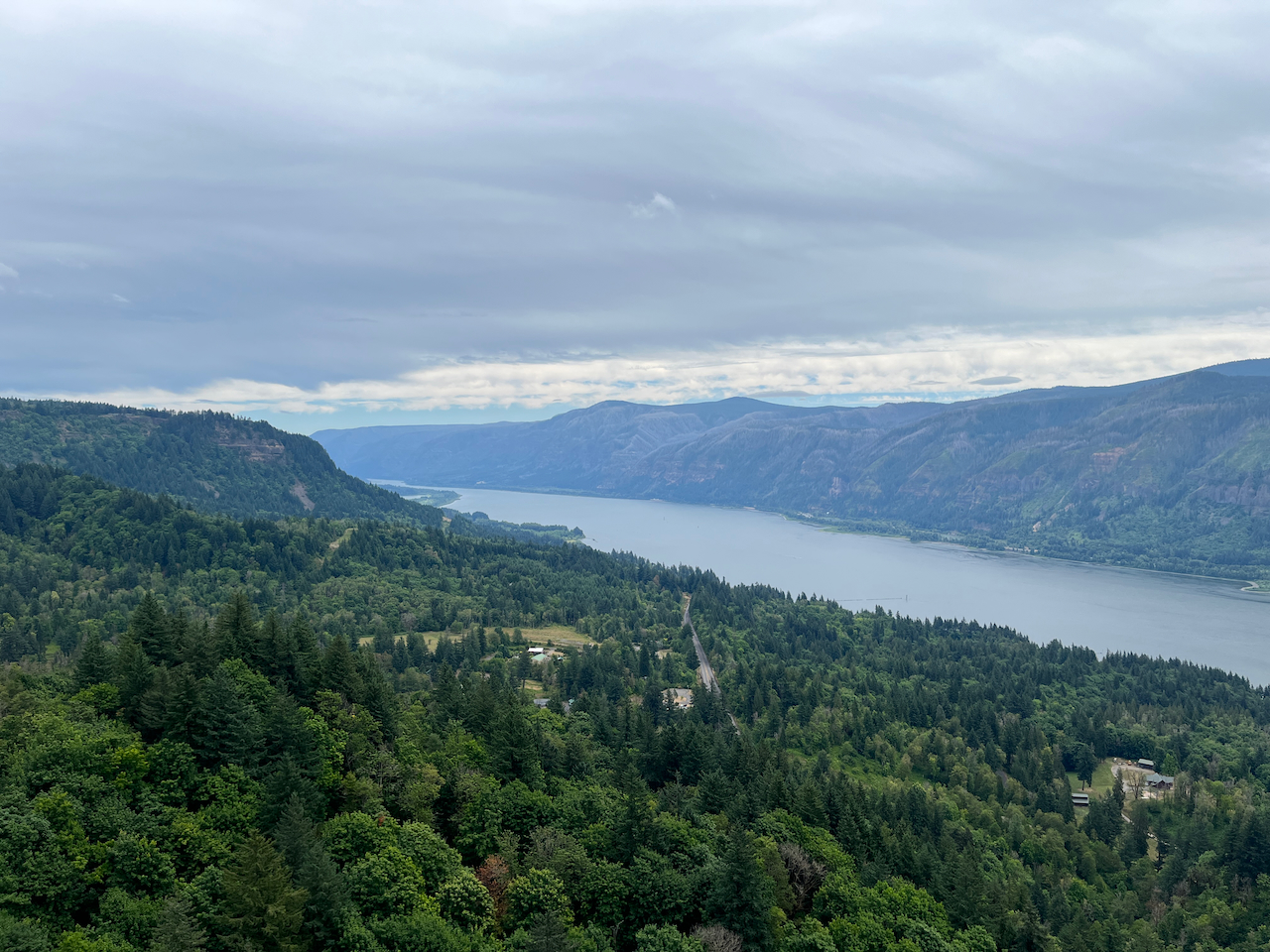
Almost all of the viewpoints and overlooks will get you some version of this view–epic vistas up and down the Columbia River Gorge.
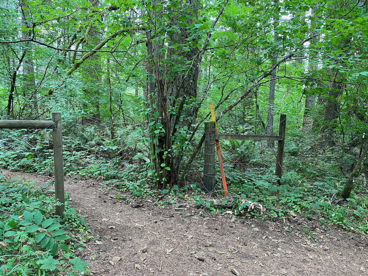
After you enjoy the view, the trail will return you to the ‘main’ trail and continue roughly paralleling the service road to the north. It’s mostly clear, smooth sailing, but there is one potentially confusing junction where you’ll come across a small gate in a fence on the south side of the trail. Ignore this fence and stay on the trail you’ve been on.

Don’t go through this
The trail will eventually meet the old road grade but the hiking here still feels a lot more single track than old road. You’ll pass through some impressive red elderberry groves as the trail starts to level off. You’re done with the bulk of elevation gain on this point, and the rest of the trail until you get to the lower sections is a gradual decline.
At 2.5 miles, the trail makes a hard turn toward the south where the National Forest land becomes a narrow little panhandle between two tracts of private land–the trees in a straight line are a dead giveaway. Stay on the trail and respect the private property, then carefully cross Strunk Road at 2.6 miles.
Crossing Strunk Road
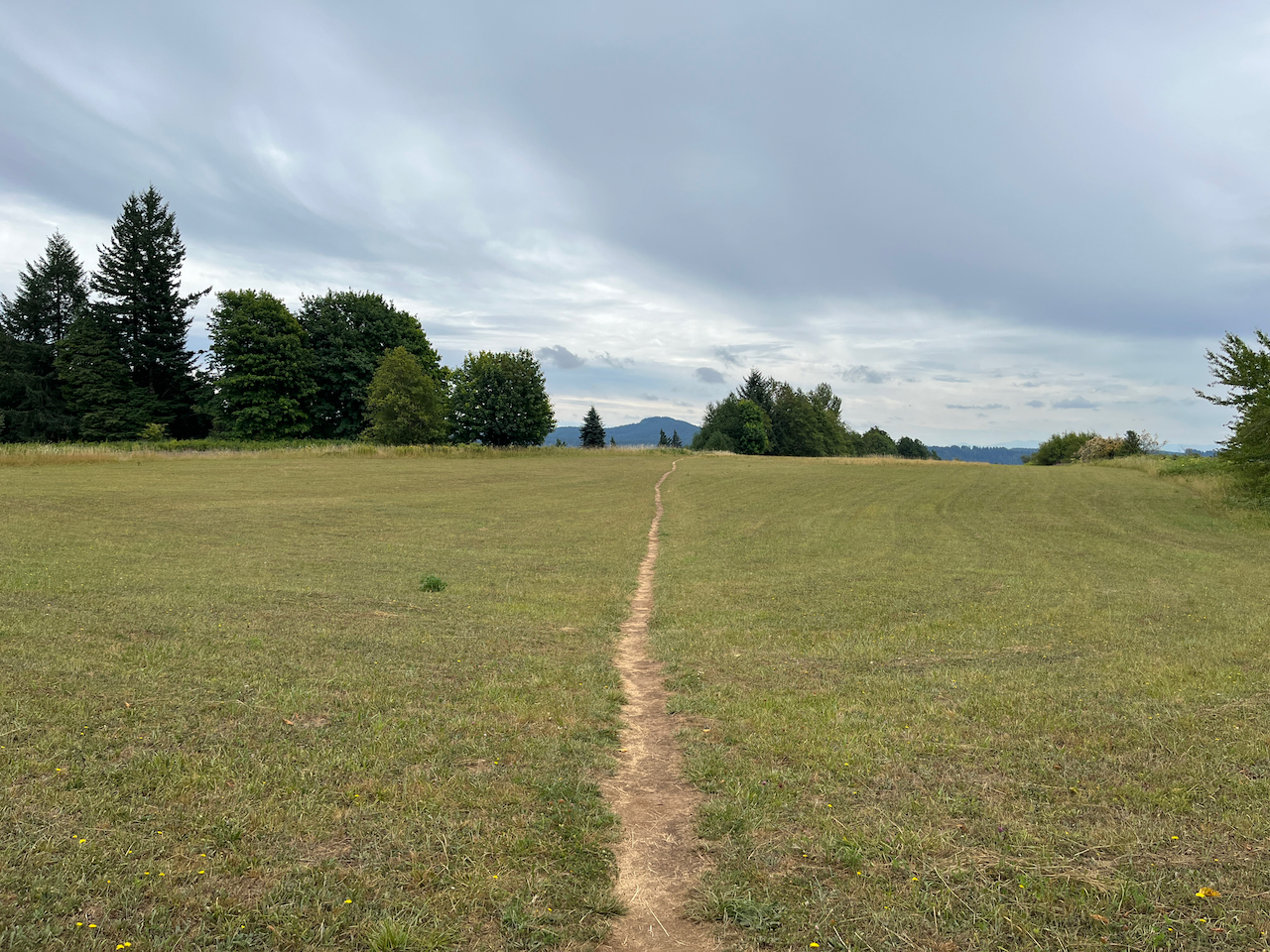
After you cross to the south side of the road, it looks like there is an old trail grade that hugged the old property line and paralleled the street. But a new grade runs in a straight line mostly south, cutting a very picturesque route through the grassy meadow. If you do follow Strunk Road until it ends, you’ll hit an alternate trailhead for this loop.

I don’t know who mows this, but thank you
At 2.7 miles, the trail meets up with the gravel remnants of an old road grade and heads due south, flirting with some brambles and wildflowers along the way before departing into a field just before the 2.9 mile mark.
Don’t worry, sun-sensitive northwesterners–you’re back in the shade again soon.
Follow the clear path until you reach the Nancy Russell Overlook at 3.1 miles. Much of the area you have just hiked through / are about to hike through would have been a housing subdivision known as Rim View Estates. These houses were first proposed in 1983 and the following year, Nancy and her husband Bruce provided a sizable loan to the Trust for Public Land to purchase 12 of the 16 lots. In 1985, the land was transferred to the Forest Service, saving roughly 1000 acres for preservation and public use.
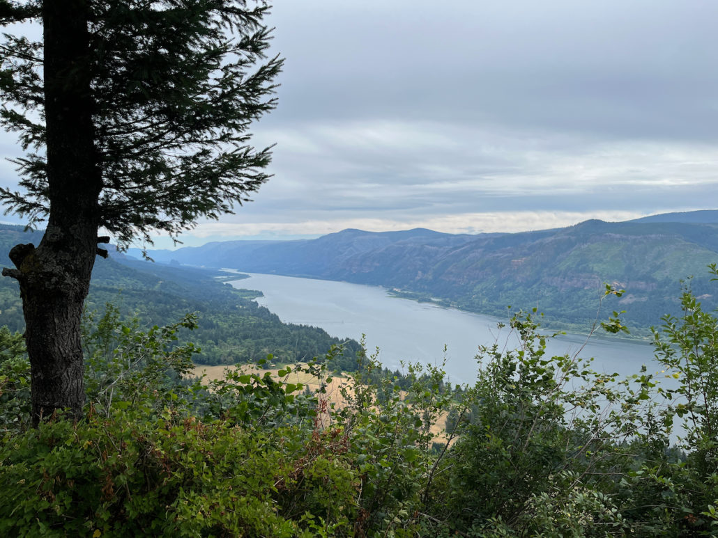
The view from the Nancy Russell Overlook
The Russells were also instrumental in forming the Friends of the Columbia Gorge, and following the establishment of the Columbia River Gorge National Recreation Area in 1986, the group worked with the Forest Service to purchase additional properties for protection. You can read more about Nancy here.
In this area, you will also notice some areas of trail that are fenced in with some signs about rare native plants. This is an area where the native tall bugbane grows. These can grow up to seven feet tall, with flower stalks that can stretch 2-3 feet! The plants bloom in the early summer but don’t last very long.
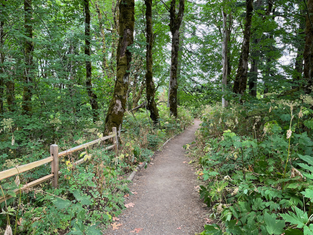
The Overlook is a great spot to take a lunch break, and when you’re done, continue descending on the trail as it dives into a dense, shady forest.

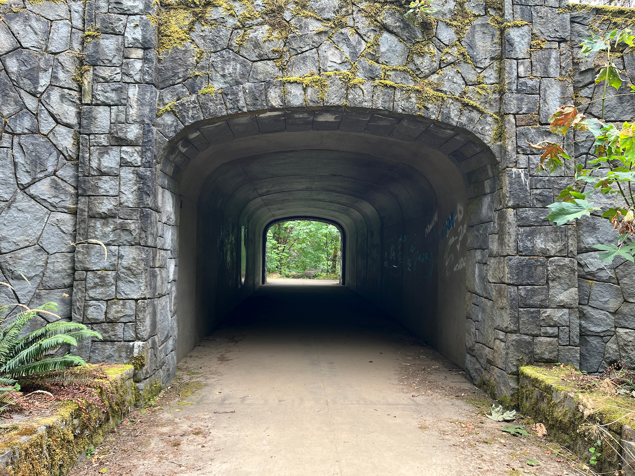
It’s a mostly gentle series of long switchbacks as the trail makes its way down toward WA-14–which at this point will definitely be audible and sometimes visible. It’s not too much of a distraction, though. And don’t worry, you don’t have to try to cross that busy road. There is a well-maintained underpass at the 4.3 mile mark.

South of WA-14, the trail follows a new grade paralleling the road to the east before turning back south again. At 4.5 miles, there is another relatively newly-built overlook where if you stretch quite a bit you can get an OK view of Cape Horn Falls. It’s kind of tough to make out, though, and you’ll get a better view of a lower cascade a bit further down the trail, so don’t worry too much about it.
There’s another viewpoint at 4.9 miles where you can make out more of Sand Island at Rooster Rock State Park in Oregon, and by 5.1 miles you’ll reach a series of short switchbacks where the trail gets a lot more rugged and steep, so take your time here.
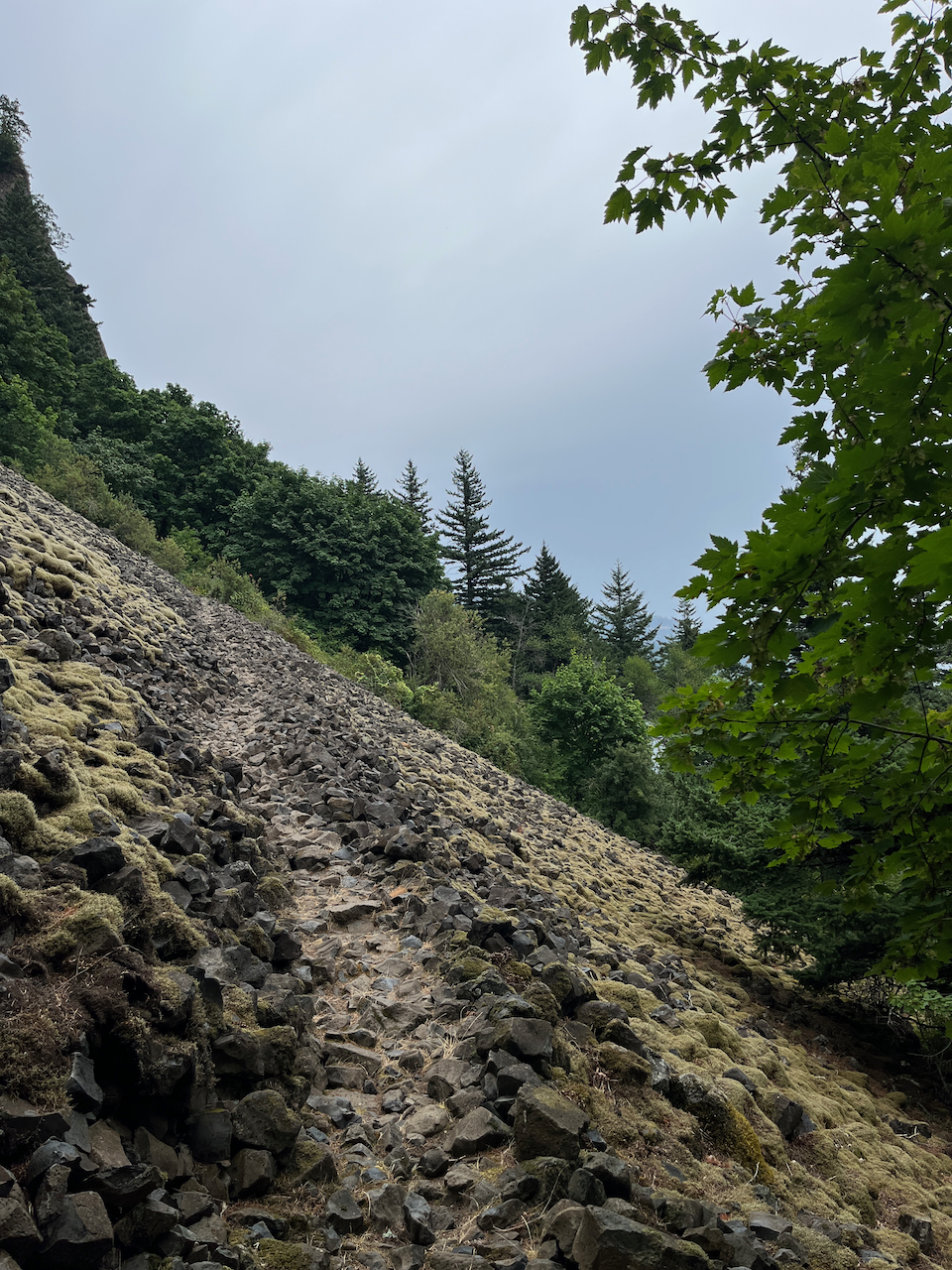
At 5.8 miles, you get a very dramatic reveal of Cigar Rock, one of the many remnants of old lava flows and volcanic tubes that dot the Gorge.
Just beyond, the trail hits a section of rough volcanic talus–be sure to watch your footing here, especially if it’s rained recently.

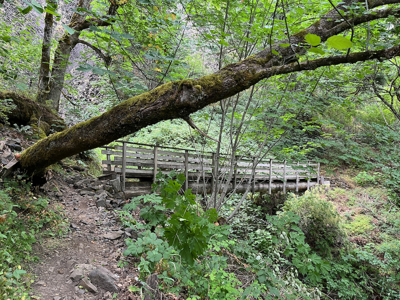
One of the best parts of the trail is coming up after this–right past the 6 mile mark, you’ll come across a bridge on the trail.

You may not be able to see it from this angle (you will when you start to cross the bridge), but there is another cascade just beyond this bridge and it’s very easily accessible. There’s a short use trail just to the left of the bridge in this photo. It’s steep and not maintained, but worth the short scramble up to the gentle waterfall.
If it’s a warm day out, sticking your head beneath the waterfall is a terrific treat. And if not, there is still a great little grove nearby to sit and chill out for a bit before you wrap up the trail.
When you’re done, continue on the trail for another 0.6 mile or so. This section is steep, narrow, and rocky–significantly moreso than any other part of the trail you’ve been on so far–so take your time.
The Cape Horn Loop trail ends at Cape Horn Road at about 6.7 miles. From here, you just follow the paved Cape Horn Road back to the trailhead for about 1.5 miles, which is not the most terribly exciting way to end this loop, but it’s what we’ve got. There is an underpass to cross WA-14.