Just off Pacific Coast Highway sit Zuma and Trancas Canyons, the largest section of federally owned land in the Santa Monica Mountains National Recreation Area. Several popular trails, including the Zuma Ridge Trail, are found here. However, this doesn’t mean that lesser-known hikes aren’t equally as spectacular. Enter the Canyon and Ocean View Loop. With about 1,100 feet of elevation gain in just over four miles, this half-day hike takes hikers both within and high above Zuma Canyon and is chock-full of beautiful and diverse vistas. And after working up a sweat, head to Point Dume for a snack or to the beach for a refreshing ocean dip.
To get to the trailhead, You’ll drive through a residential neighborhood and park in a dirt lot that can hold about 20 cars. Nearby there are toilets, trash cans and recycling, and paper maps of Zuma and Trancas Canyons for you to take. Note that this is a multi-use trail and popular with horseback riders, so expect to see a variety of four-legged animals as you hike. Head to the north end of the lot to start your trek.
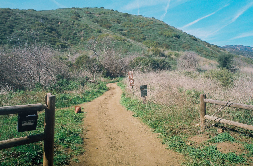
The Canyon and Ocean View Loop Trailhead. The box to the left holds maps of the area for your convenience. Shot on Fujicolor Superia X-TRA 400 film.
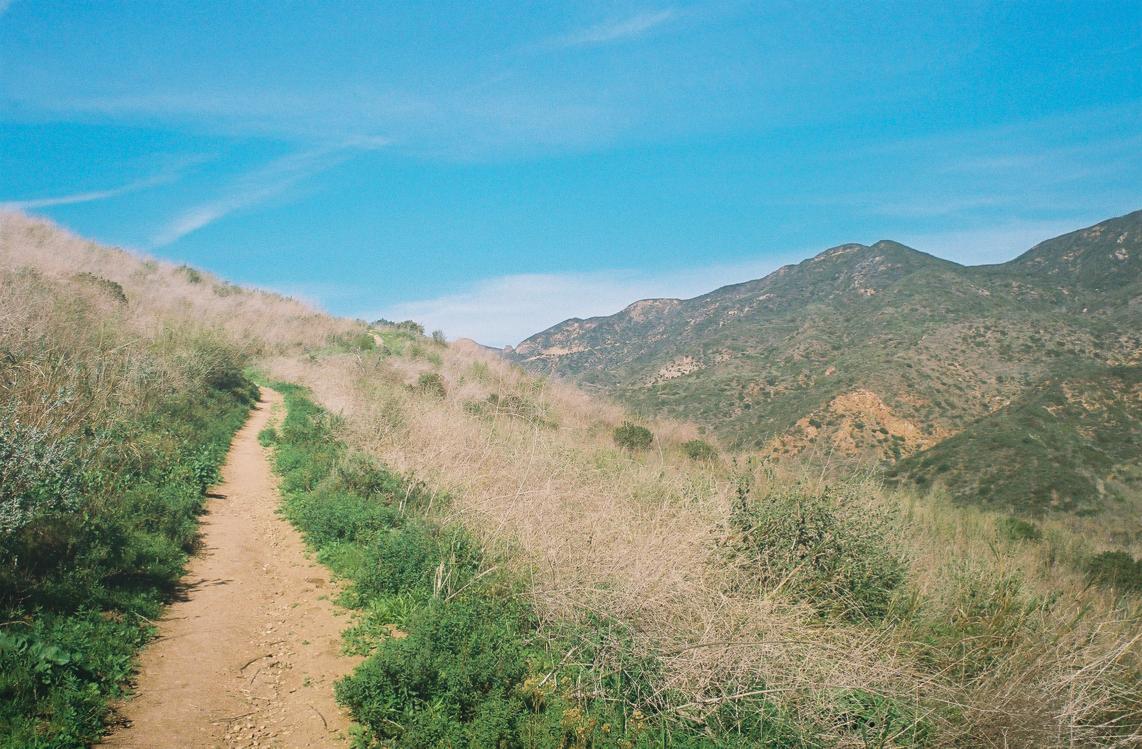
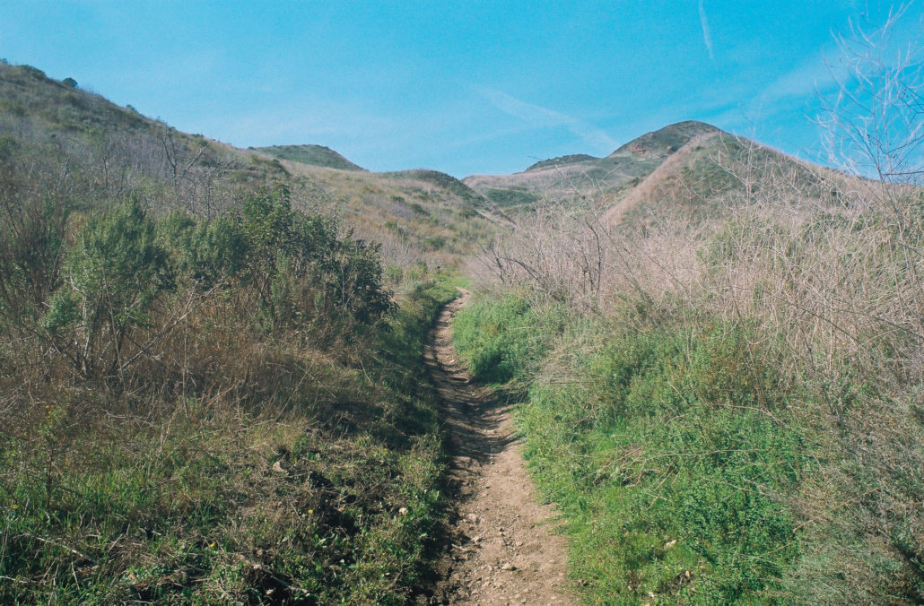
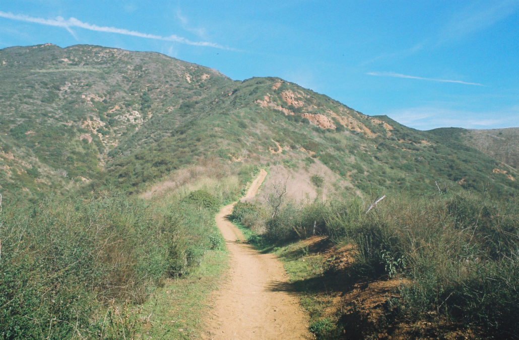
Walking into Zuma Canyon, you’re immediately surrounded by beautiful mountains on either side. After a quick 0.2 miles, head left onto the Zuma Loop Trail to start your loop. This path takes you on a slight incline, enough to get your heart pumping but still easily manageable. It’s a decently exposed trail, partly because of the 2018 Woolsey Fire, and you’re often walking through grassy fields and brush. The landscape was mostly brown when I hiked during the winter but will be lush and serene come springtime. You’ll also see plenty of quintessential California fauna, such as Laurel Sumac and California sagebrush, line the trail. After 0.1 miles, head right at the junction.
Climbing along the Zuma Loop Trail. Shot on Fujicolor Superia X-TRA 400 film.
At the half-mile mark, you will reach another fork in the trail – head left to stay true to the route or turn right to cut about a quarter of a mile off of your hike.

There’s no shortage of beautiful scenery. Shot on Fujicolor Superia X-TRA 400 film.
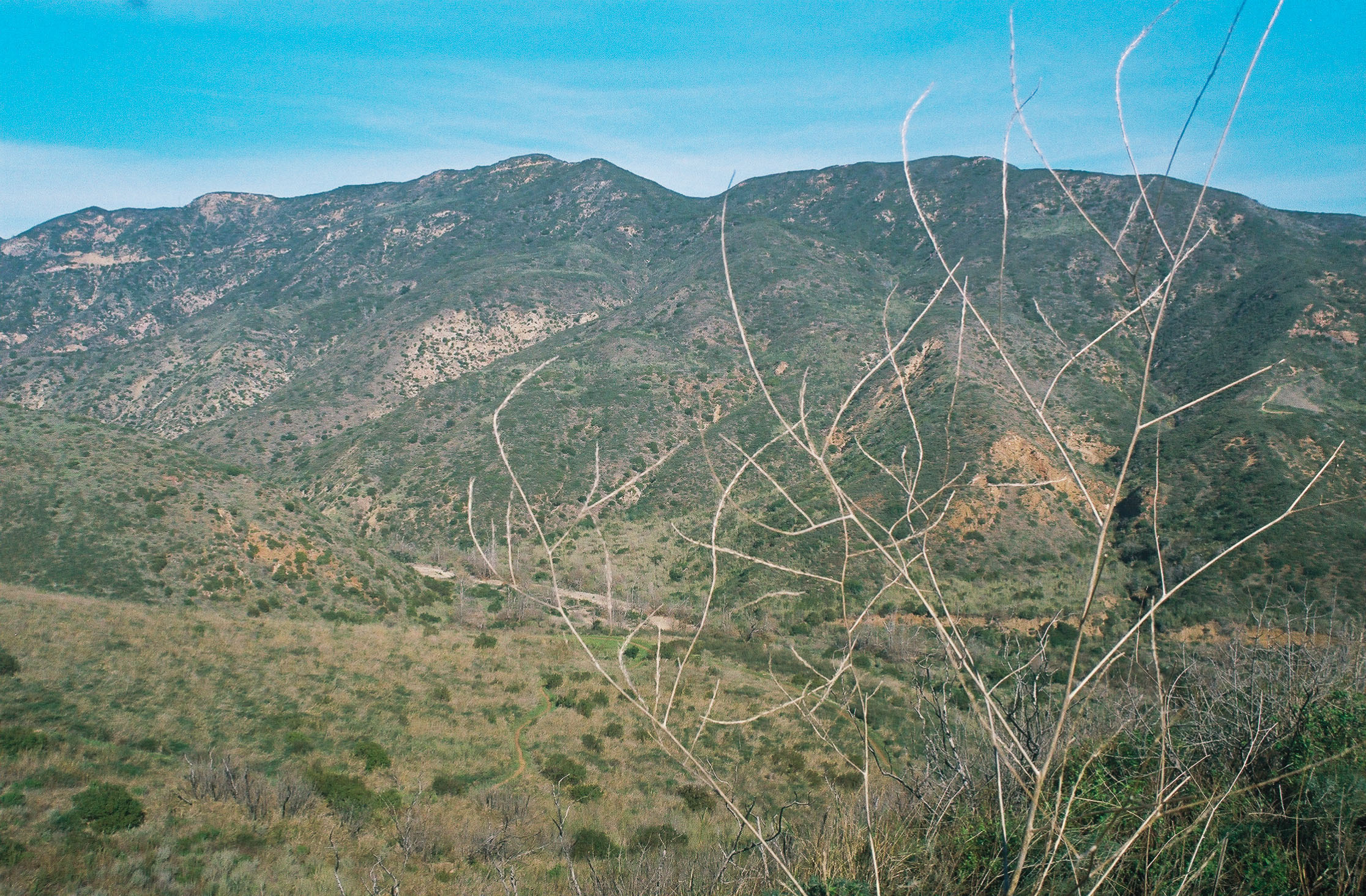
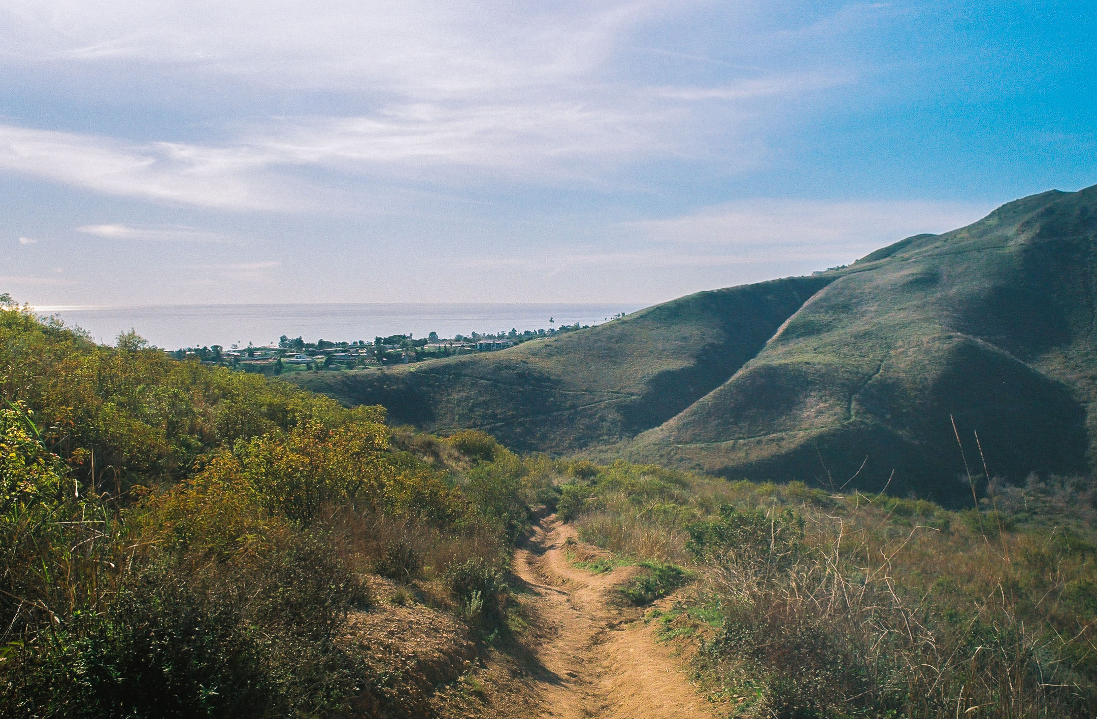
Continuing your climb, you can now see the Zuma Creek riverbed, which was dry when I hiked. Then, at mile 0.6 you’ll catch your first glimpse of the scenery southward, including the Pacific Ocean, several Malibu homes, and the outlines of Catalina Island and Palos Verdes Peninsula. However, you soon lose this view as you start descending back down the canyon. Don’t worry, as there are plenty of even more stunning coastline vistas later in your trek.

Your first of many ocean views. Shot on Fujicolor Superia X-TRA 400 film.
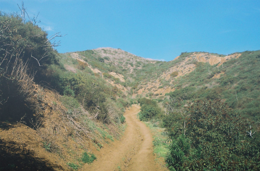
Meandering downhill, you can see the trail slowly work its way down to the canyon floor. It was also around here when I started to notice horse manure along the trail, which was expected given that this is a popular horseback riding destination. It wasn’t too unsightly though and easily avoidable. At mile 0.9, head left at the trail junction.

You’ll slowly descend into Zuma Canyon before hiking back up on the other side. Shot on Fujicolor Superia X-TRA 400 film.
Continuing downward, you’ll encounter a few intact Coast Live oak trees with obvious burn scars that provide a nice moment of shade. Then, at mile 1.3 mile turn right and onto the riverbed. Once on the other side, you’ll reach another trail junction. I went left, following signs for Scenic Trail, but either path will take you in the correct direction. Ironically, the trail wasn’t very scenic, but the variety of verdant plant life was nice. At mile 1.5 you’ll take a series of lefts and begin ascending the Canyon View Trail.
The Canyon View Trail is well-groomed, making your climb a little easier. Shot on Fujicolor Superia X-TRA 400 film.
Climbing up the Canyon View Trail. Shot on Fujicolor Superia X-TRA 400 film.
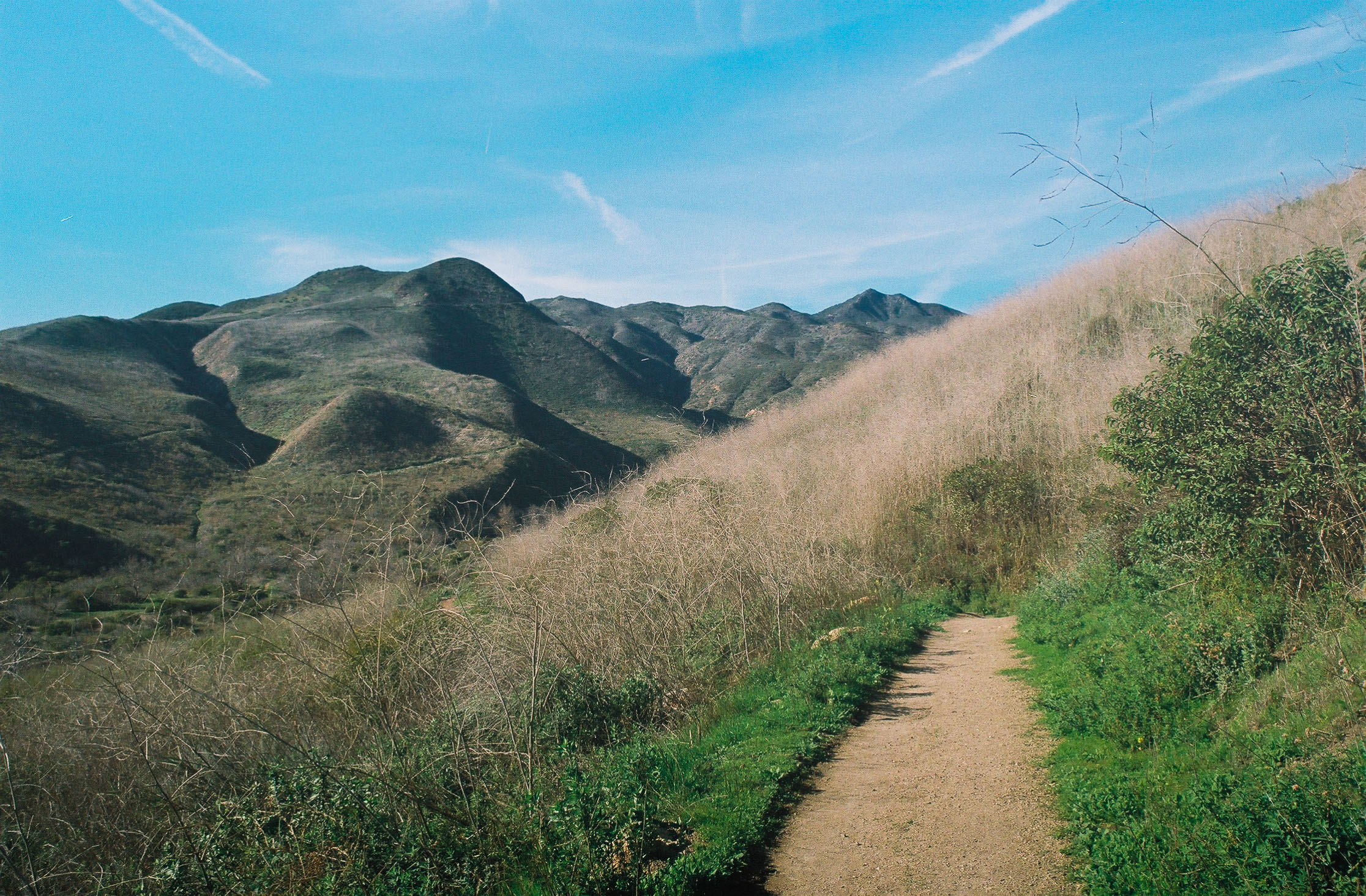
As the name suggests, the higher you climb the more impressive your views of the canyon around you. And occasionally, you’ll snag a glimpse of the ocean and Santa Barbara Island in the distance. Finally, after 1.1 miles and 738 feet of elevation gain, the trail starts to flatten out and you’ll soon be on its most scenic section.
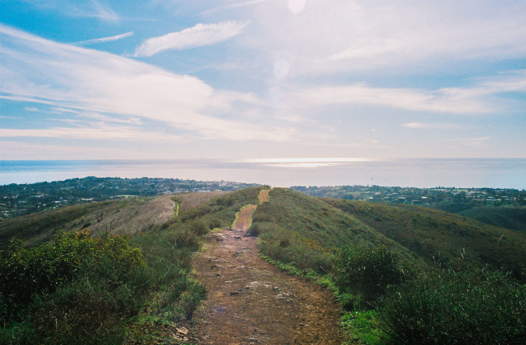
Point Dume and the Pacific Ocean. Shot on Fujicolor Superia X-TRA 400 film.
If you look closely at the right third of the photo, you can see the outline of Santa Barbara Island, the smallest of the Channel Islands, on the horizon. Shot on Fujicolor Superia X-TRA 400 film.
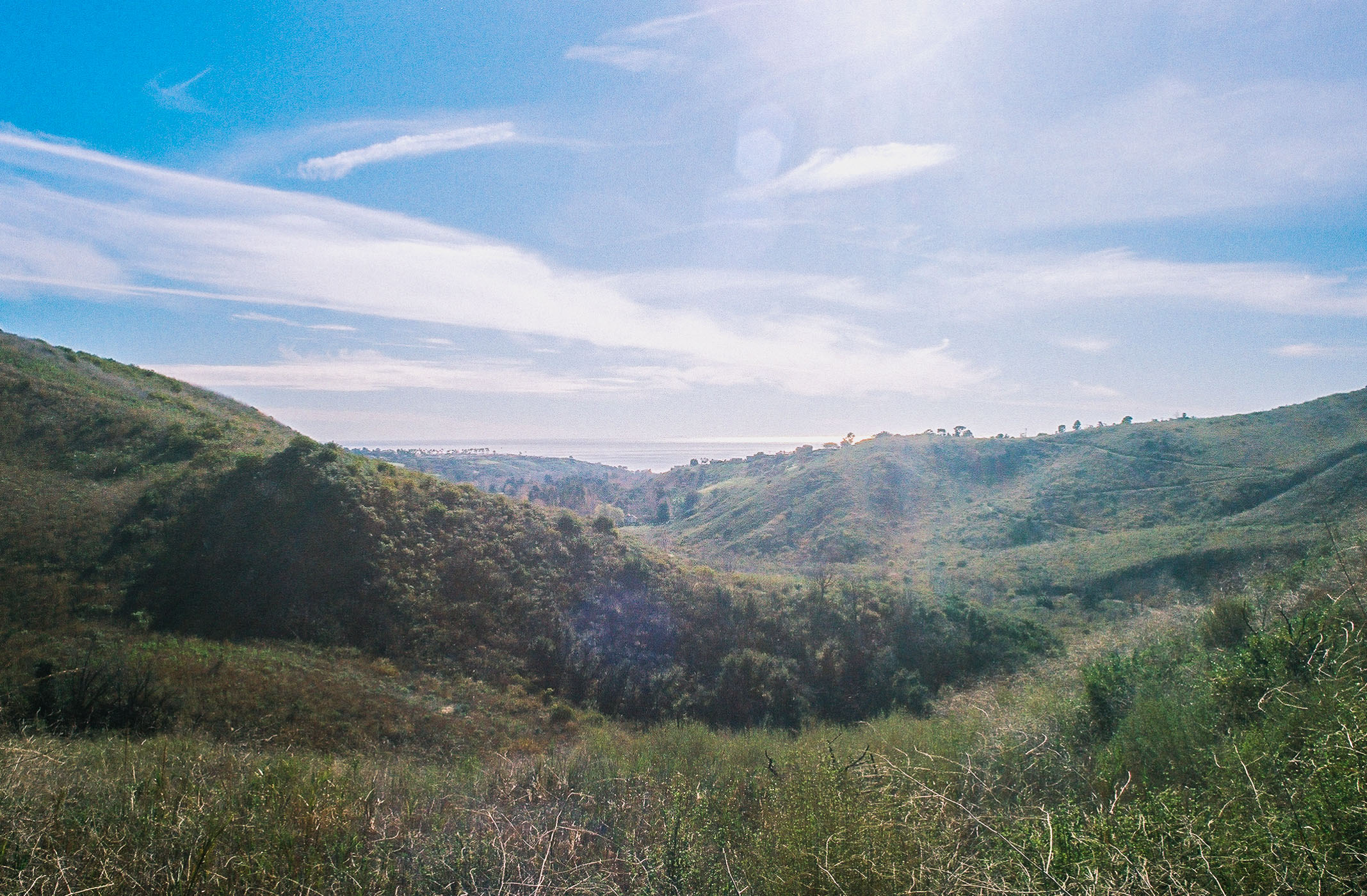
At mile 2.7, you’ll reach a ridgeline with an absolutely breathtaking view – Point Dume, the Pacific Ocean, and both Catalina and Santa Barbara Islands are beautifully framed by the mountains on either side of you. It’s for this view alone that I recommend hiking this loop in the clockwise direction.

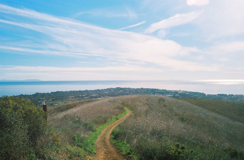
Descending the Ocean View Trail. Despite the erosion, it’s still easily navigable. Shot on Fujicolor Superia X-TRA 400 film.

there is no bad view on this hike. Shot on Fujicolor Superia X-TRA 400 film.
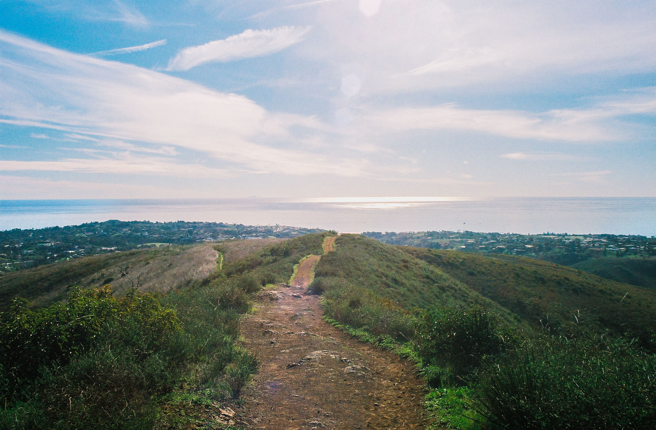
About 0.2 miles further you’ll head right at the next two trail junctions to join the Ocean View Trail. While soaking up the beauty around you on this last stretch of your hike, make sure to also pay attention to your step as there’s a small gully running through the middle of the trail. Finally, at mile four, you’ll complete the loop. From here, head left to finish out the last 0.2 miles of your hike.
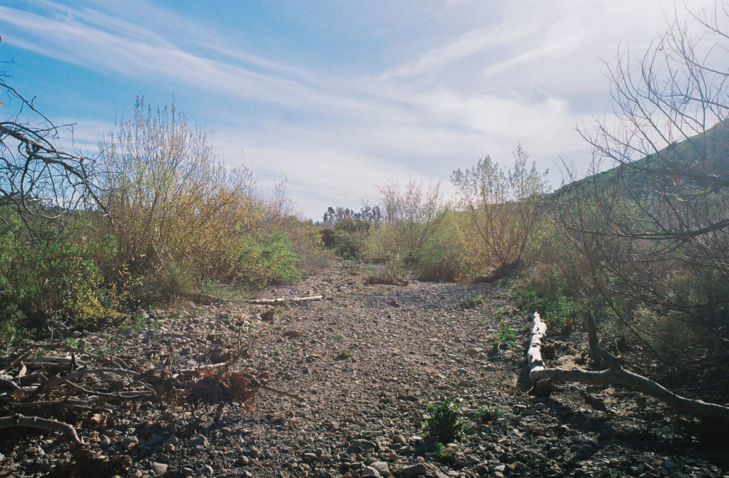
Zuma Creek riverbed. Shot on Fujicolor Superia X-TRA 400 film.
Tags: Malibu, Ocean Hike, Ocean Views, Pacific Ocean, Point Dume, Santa Monica Mountains, Zuma and Trancas Canyons, zuma beach, zuma canyon