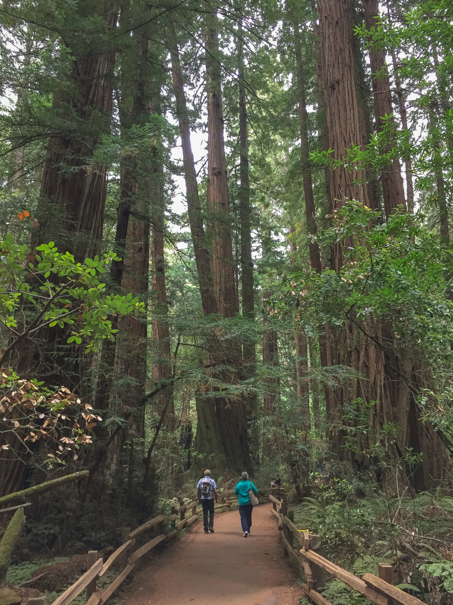
Looking for a tranquil getaway near San Francisco? Look no further than Muir Woods National Monument, a quiet canyon of skyscraper-like redwoods, feathery ferns, and peaceful Redwood Creek. Named for environmentalist John Muir, this shady hike lies on the southern slopes of Mount Tamalpais in Marin County. The Canopy View-Fern Creek Loop takes you through the best of the monument’s coast redwoods to an overlook of Redwood Canyon while educational signs throughout share tree information and history as you go!
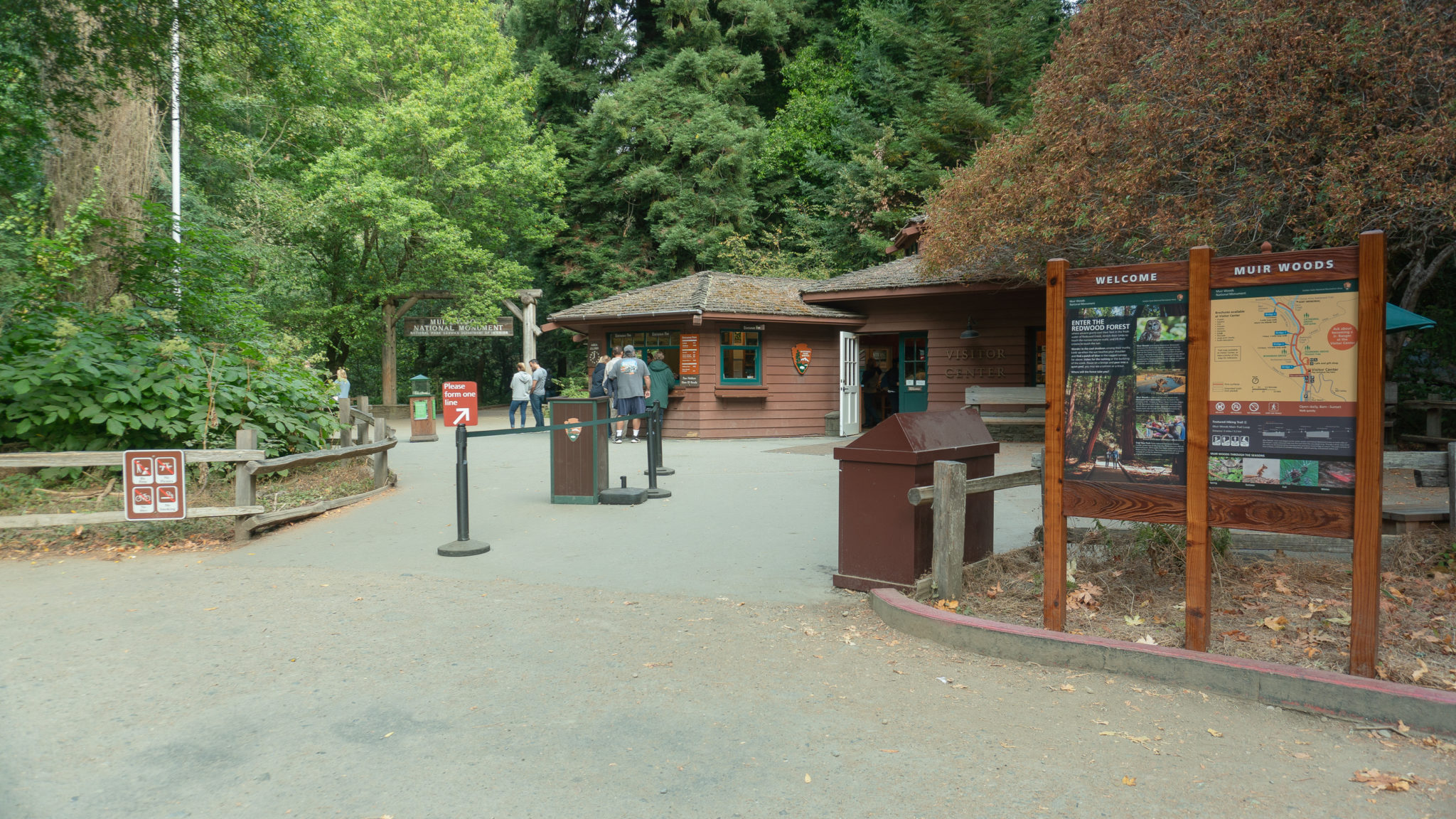
Muir Woods’ easy access from San Francisco and gentle giant redwoods make it a popular spot, but it can be quiet early in the morning and later in the day near sunset. If you plan to drive, keep in mind that parking reservations are required for private vehicles as of January 2018. The way that it works is you choose a 30-minute window to arrive, such as 10:00-10:30 a.m., and then show up anytime within that window. Once you’ve parked, you can stay until the park closes at sunset. You can also get to Muir Woods via shuttle, which runs from bus stops in Sausalito and requires reservations. To learn more and make reservations, visit www.gomuirwoods.com or call 1-800-410-2419.

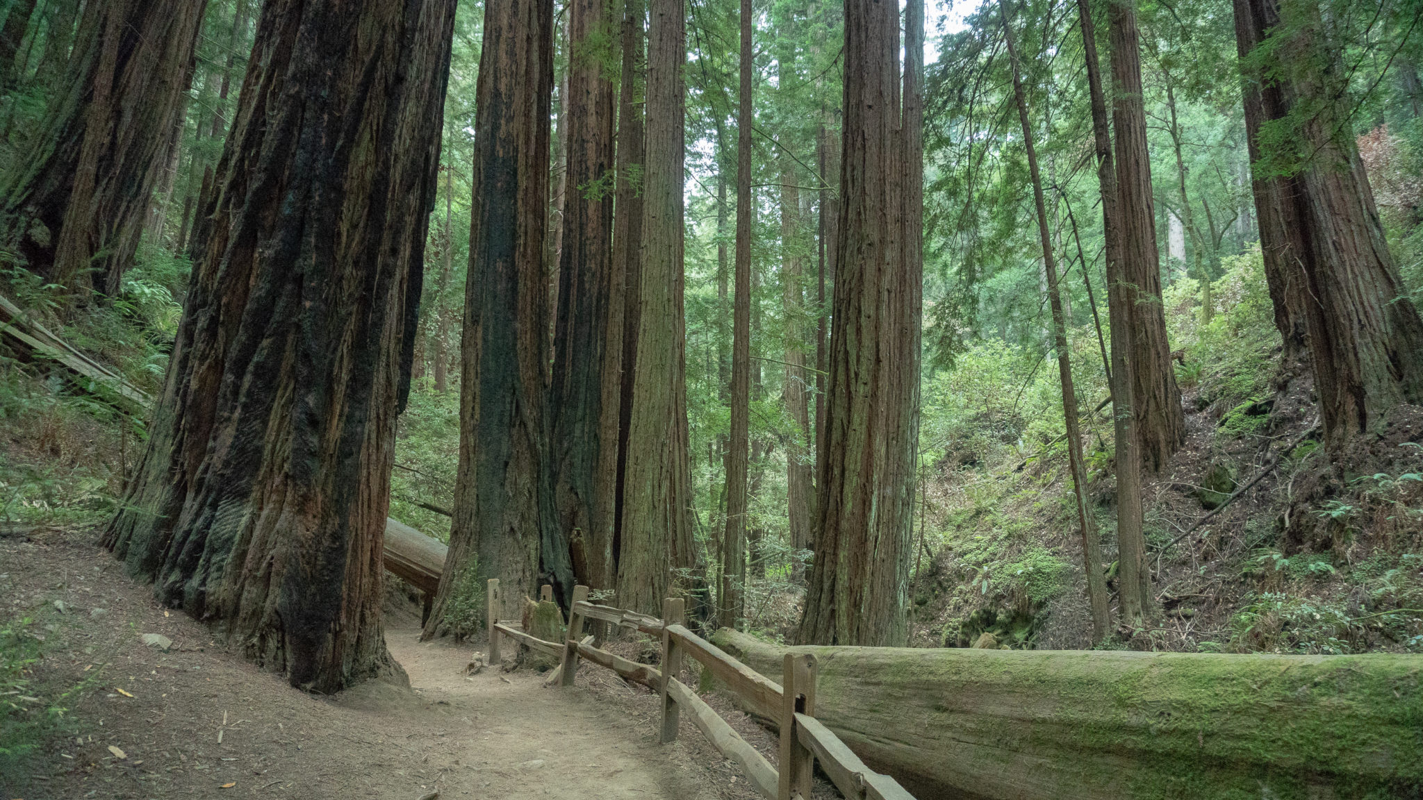
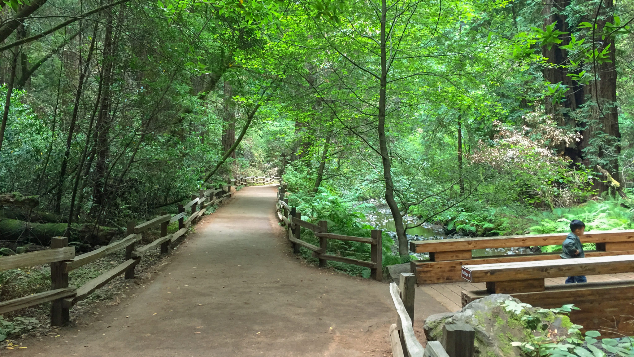
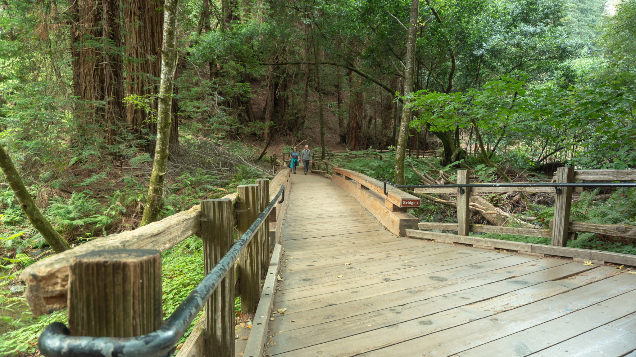
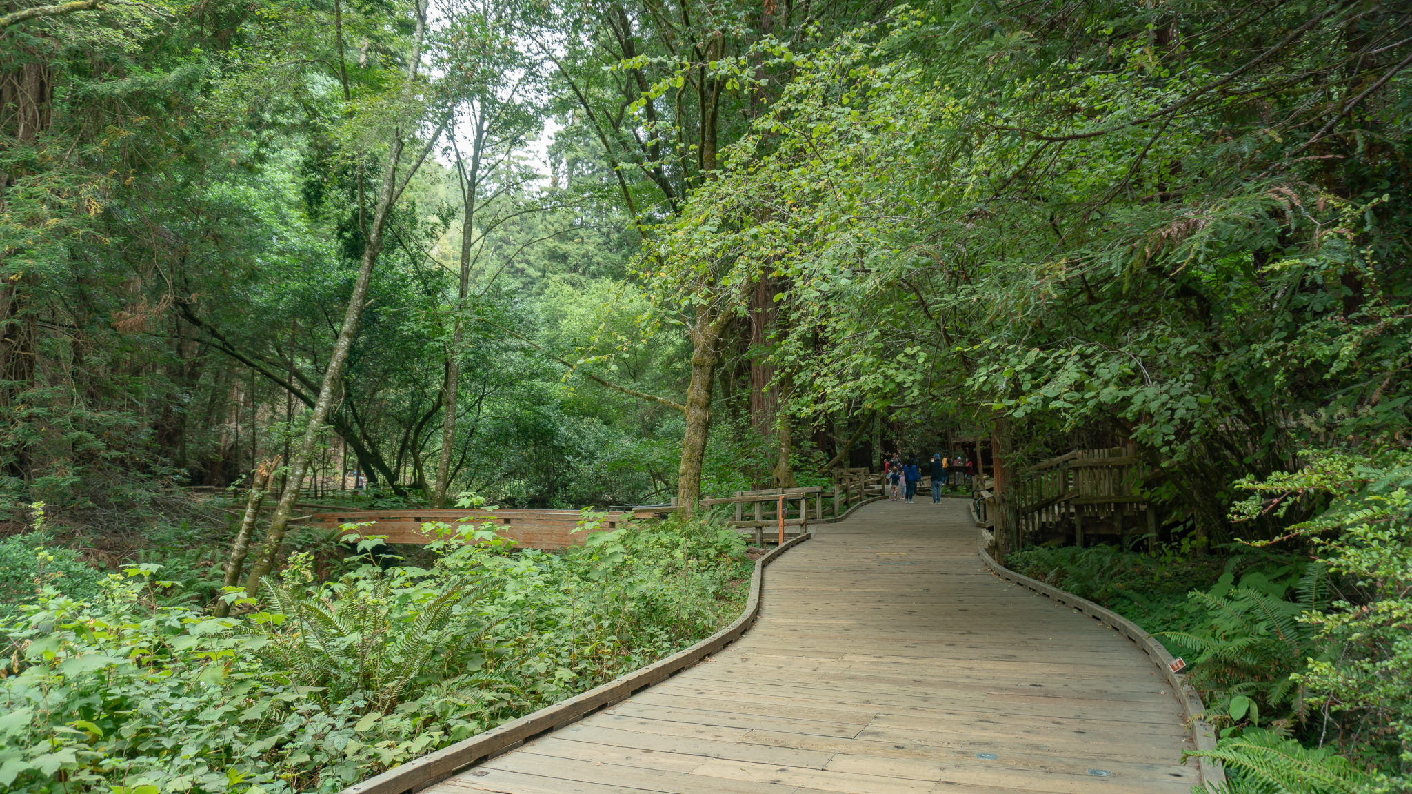
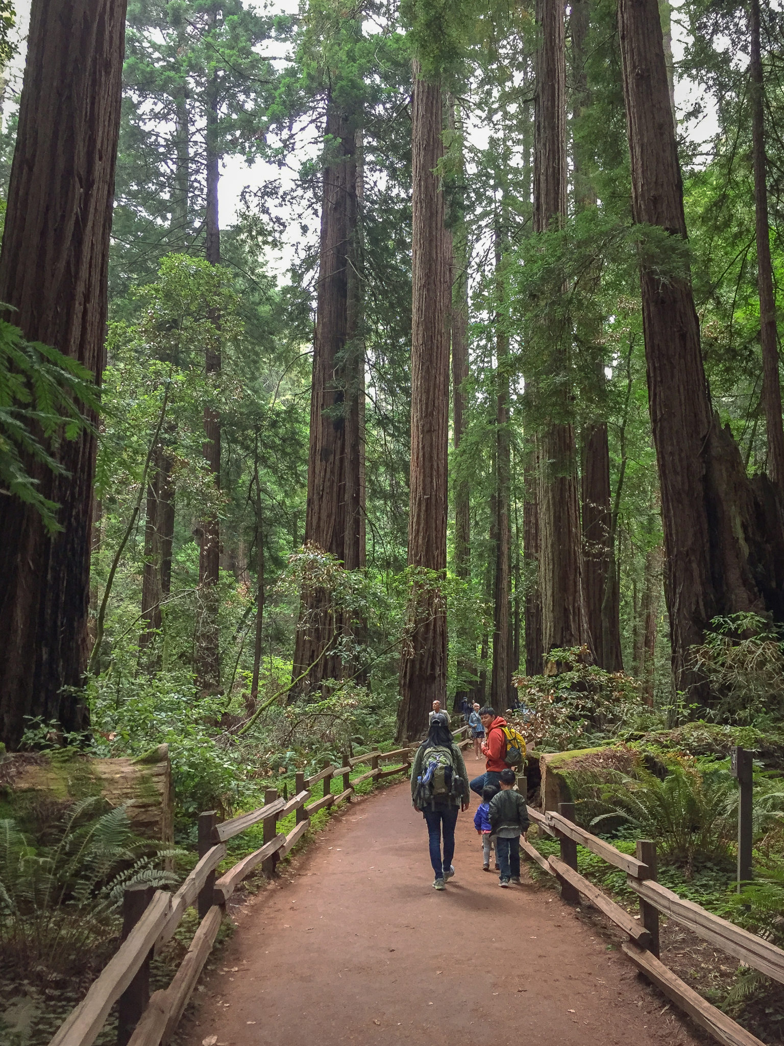
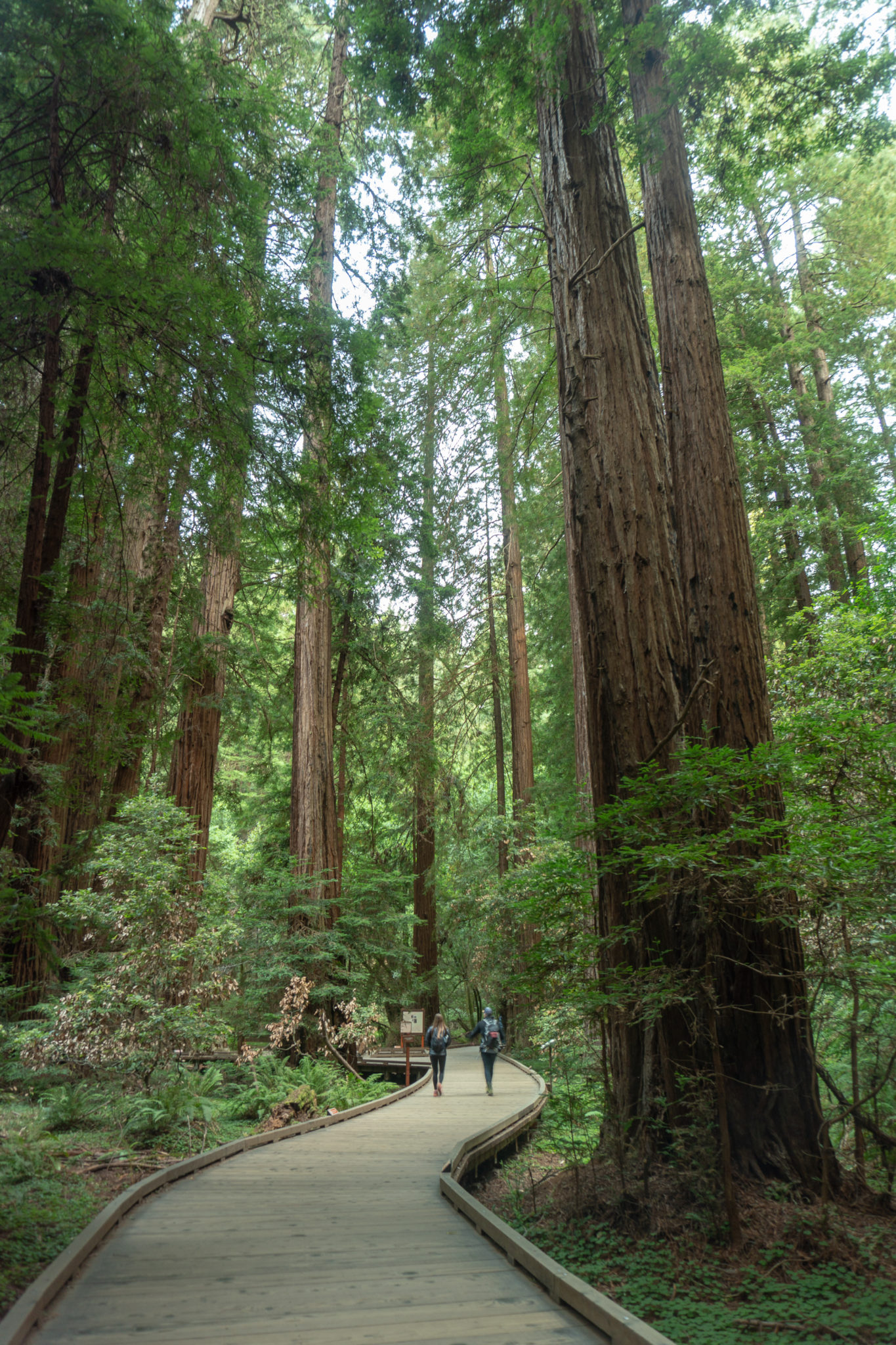
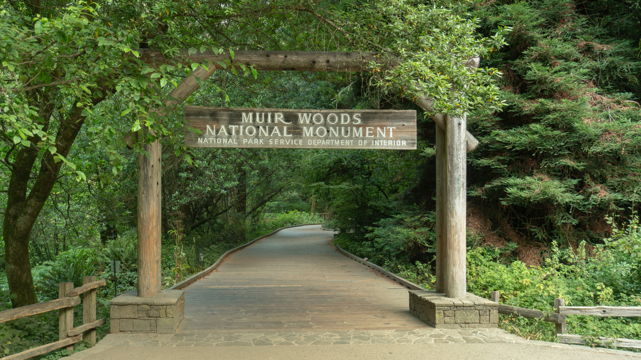
Start your hike at the Muir Woods Visitor Center, heading northwest on the Redwood Creek Trail beneath the Muir Woods National Monument sign. The wide wooden boardwalk enters a leafy forest of elk clover, thimbleberry, hazelnut, sorrel, and, of course, redwoods! Coast redwoods, the species found within Muir Woods’ 554-acre boundary, are the tallest tree species on earth. They grow on the west coast between southern Oregon and central California within 50 miles of the Pacific Ocean.

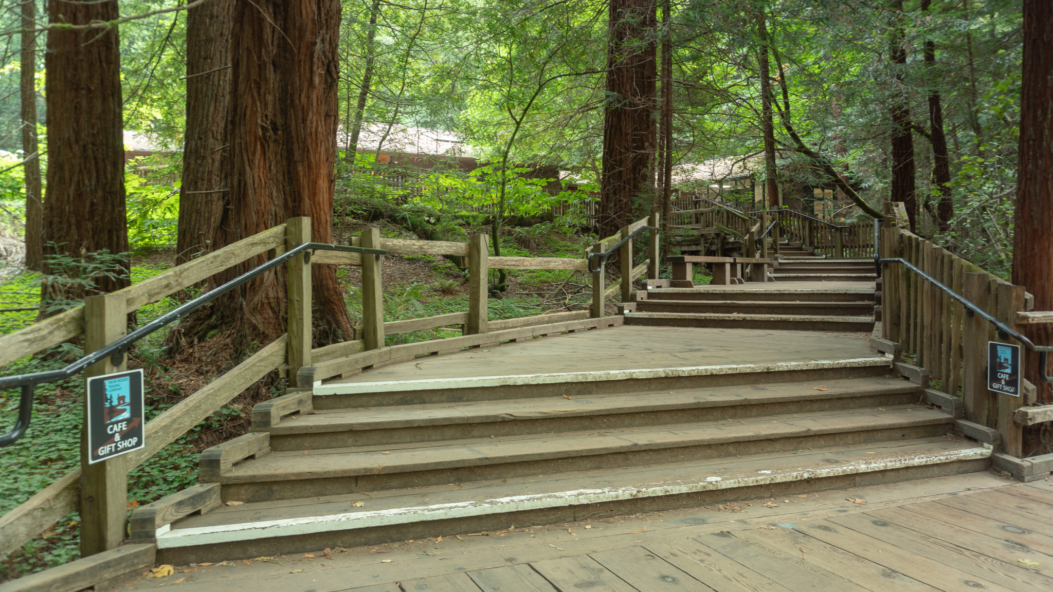
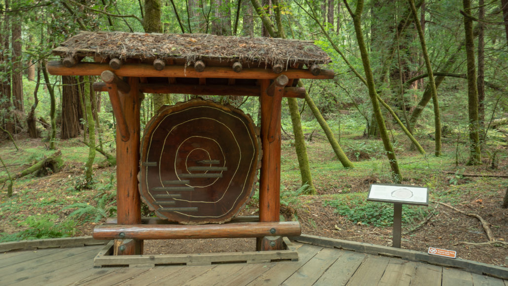
In 200 feet, reach Bridge 1—the first of four footbridges spanning Redwood Creek. To your right are steps leading up to a café and gift shop. Straight ahead is a preserved tree trunk that hangs on a display. This coast redwood fell in 1930 and concentric circles date it to over 1,000 years old. Small gaps in between circles means the tree may not have gotten much water and it was a slow growth year, while large gaps mean the tree likely had a wet season, or plentiful sunlight, and it was a good growth year.
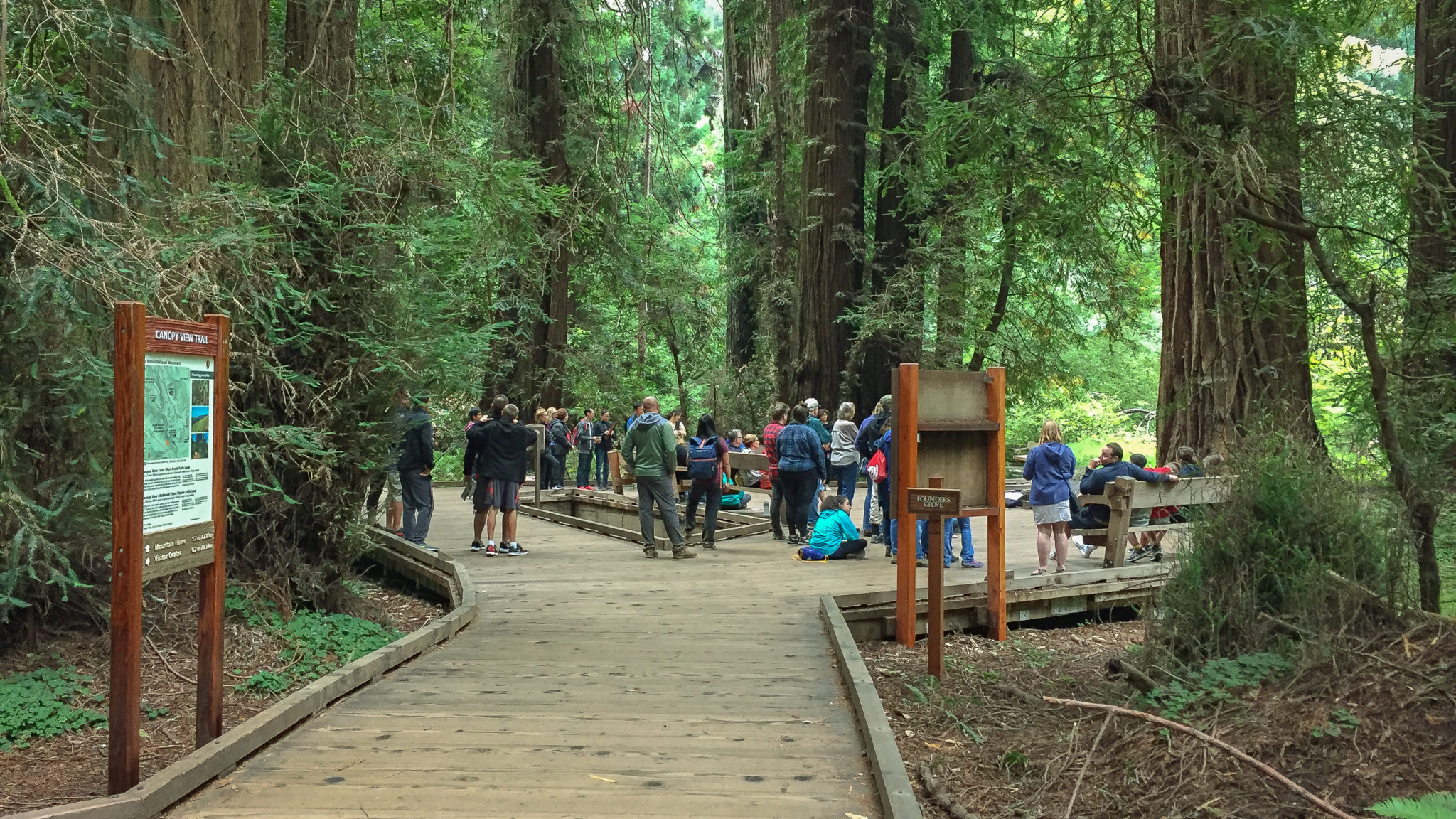
Straight ahead on the Redwood Creek Trail, arrive at Founders Grove at 0.2 miles. On the west side of the boardwalk, a redwood with a plaque in front of it honors Gifford Pinchot, a former Chief of the U.S. Forest Service who helped preserve this land as a national monument. In December 1907, landowners William and Elizabeth Kent, along with Pinchot and Frederick E. Olmsted, banded together to save this forest from being turned into a reservoir. The Kent family had someday envisioned donating this land for a public park, but quickly fast-forwarded those plans when the North Coast Water Company began legal proceedings to seize part of their land on December 2, 1907. Through quick thinking, diligence, and the help of their friends, they triumphed: President Theodore Roosevelt signed a proclamation declaring the land Muir Wood National Monument on January 9, 1908.

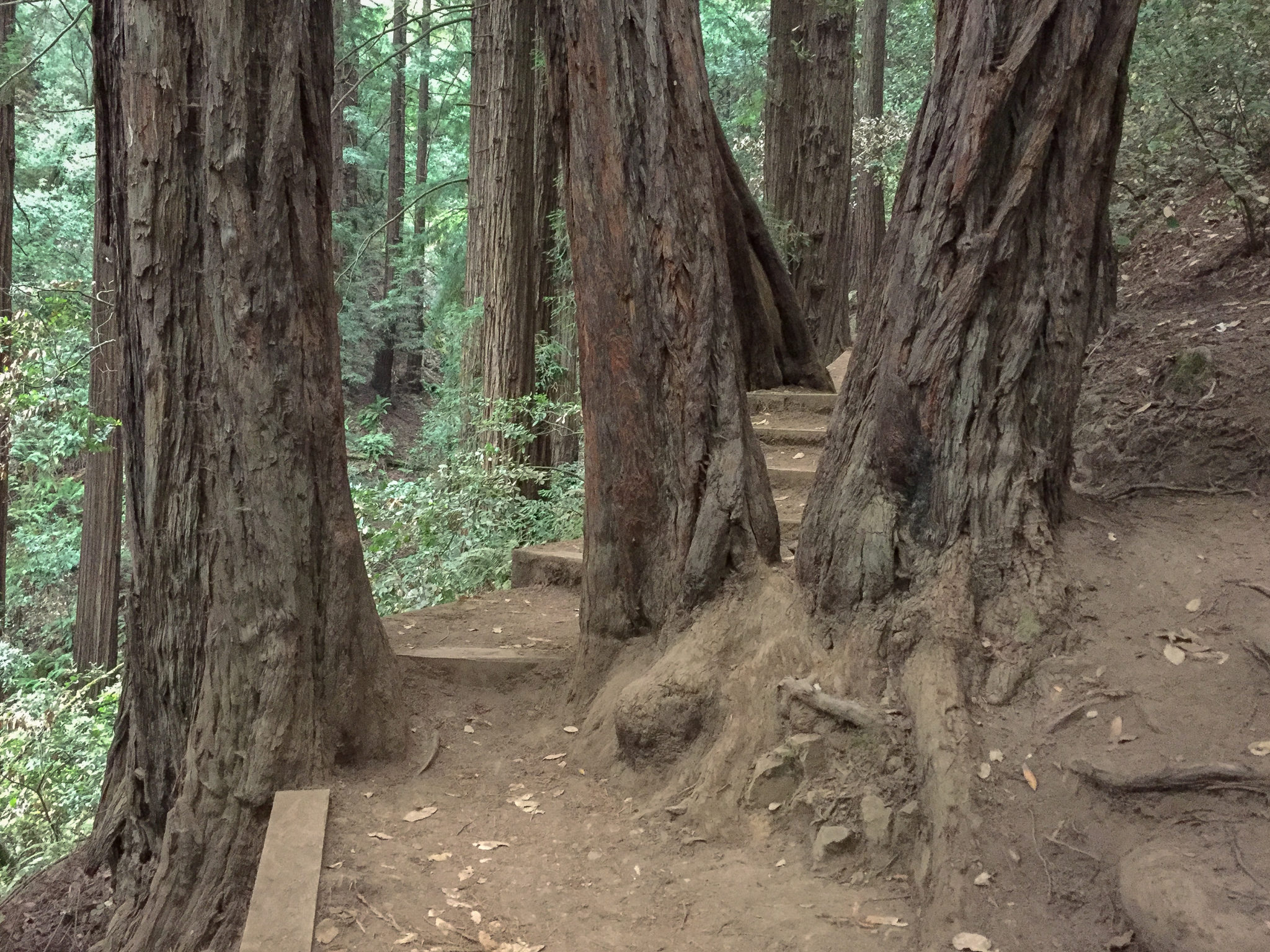
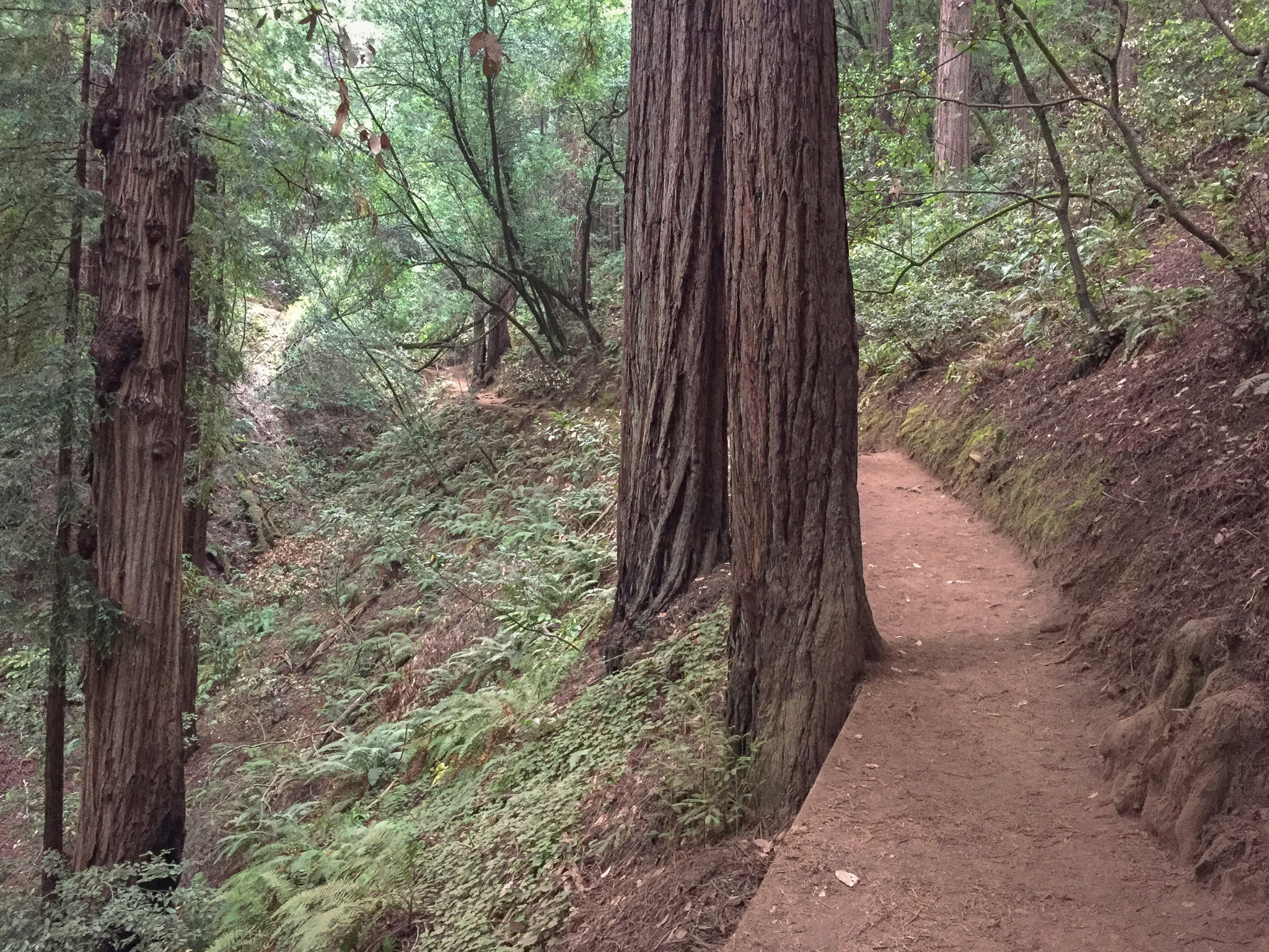
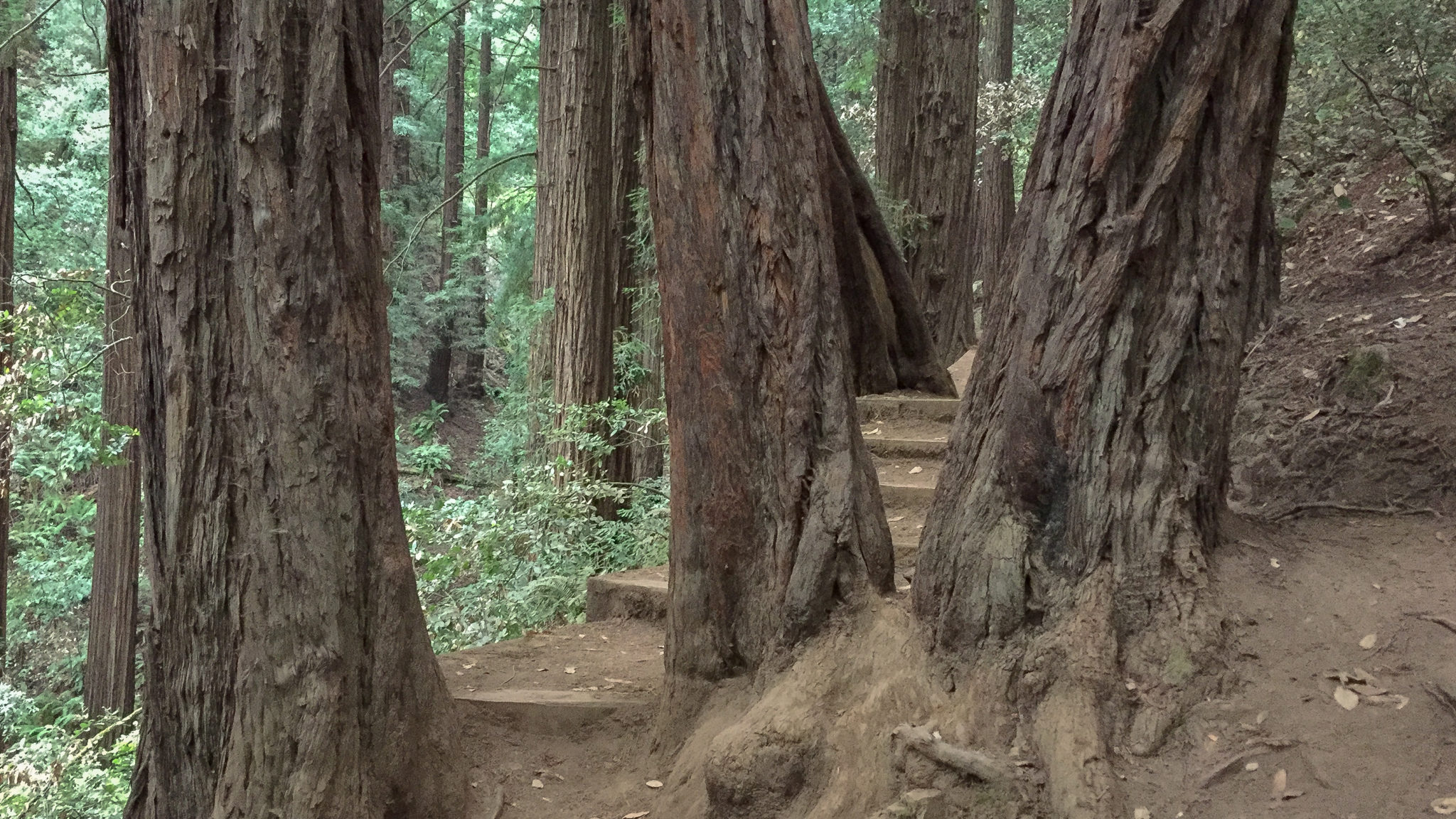
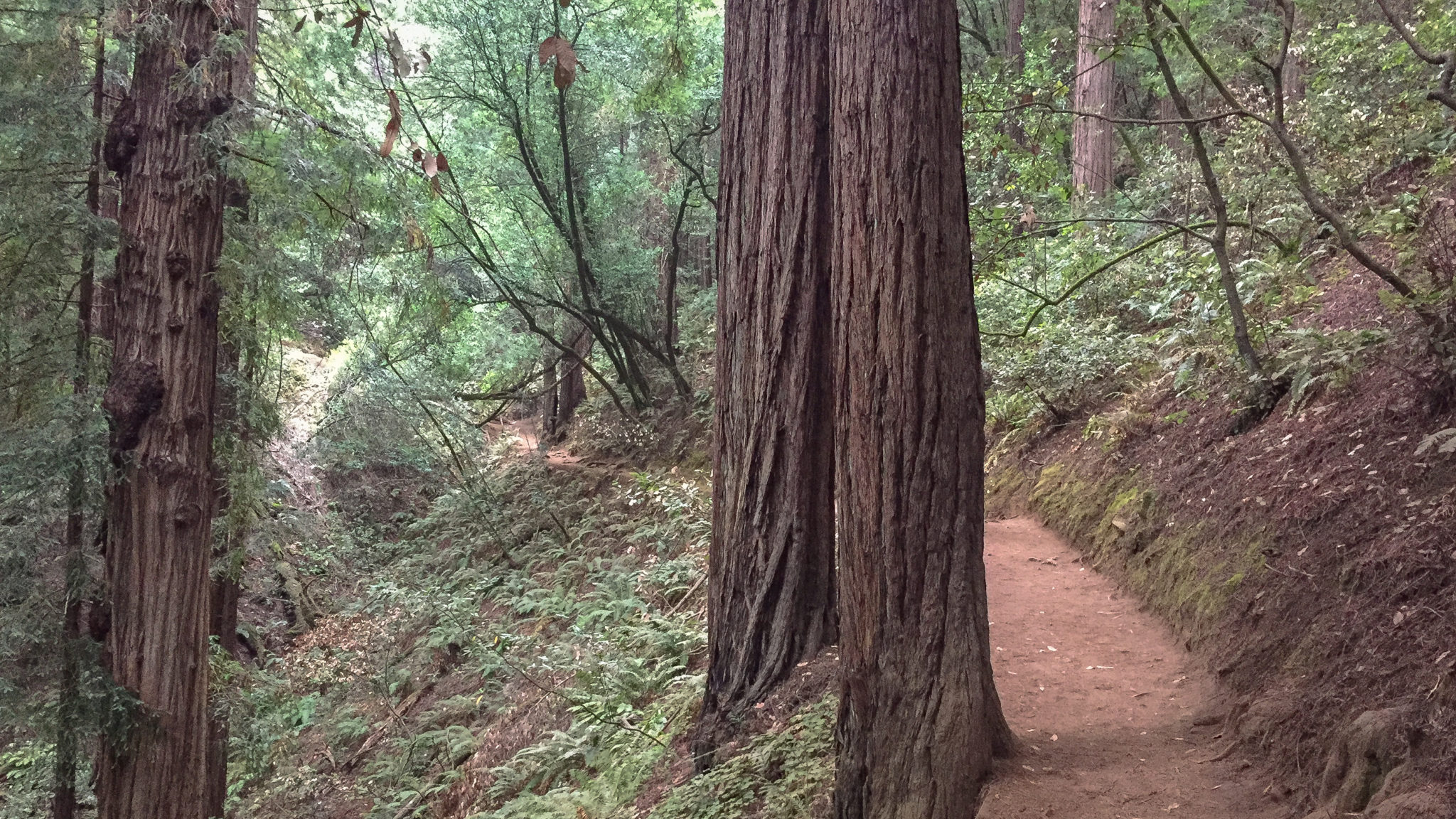
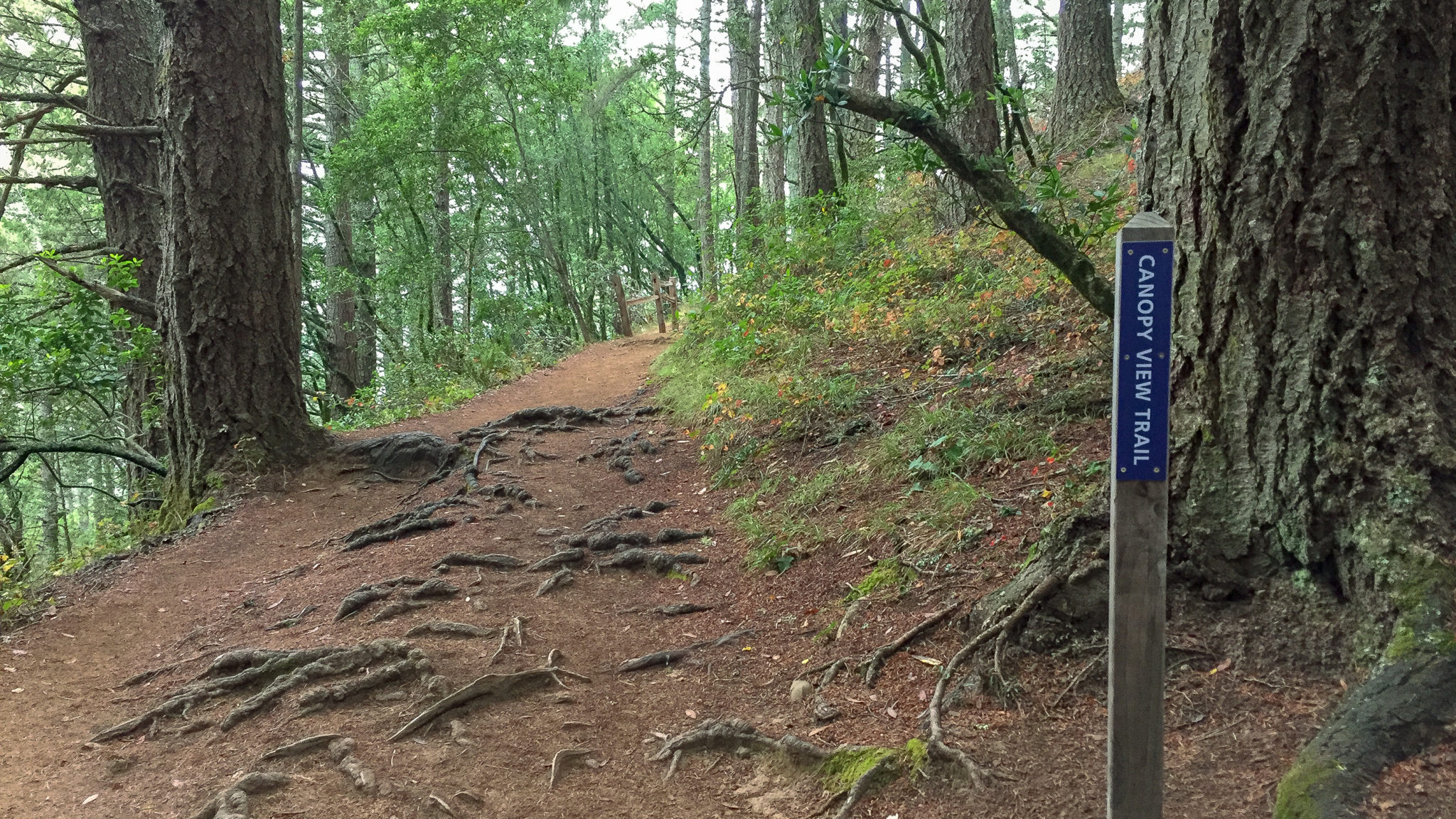
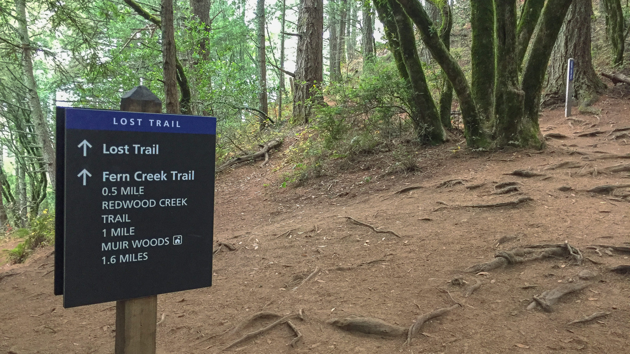
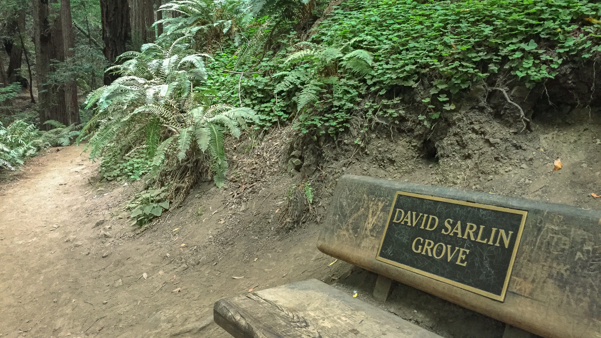
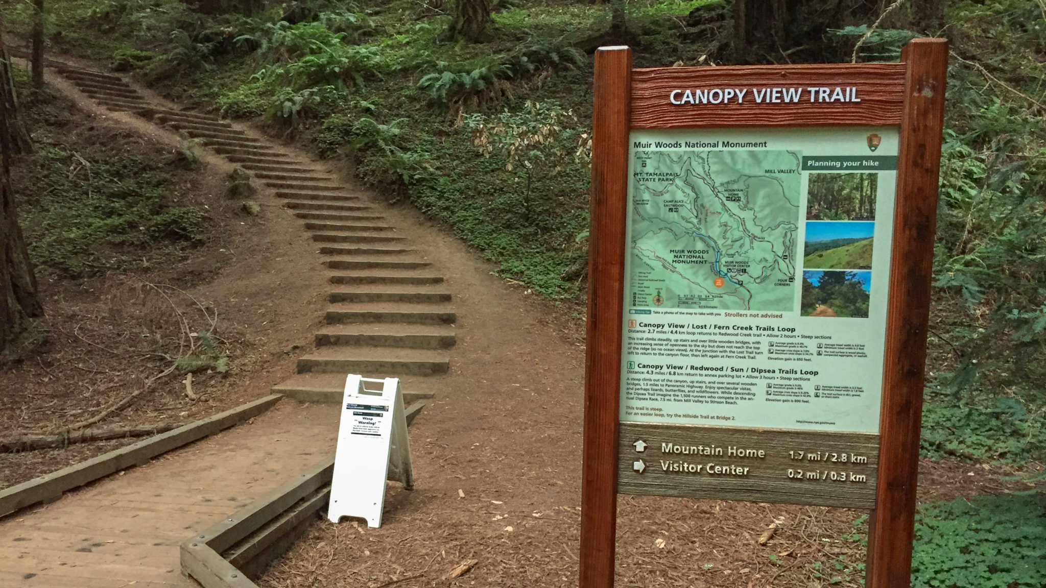
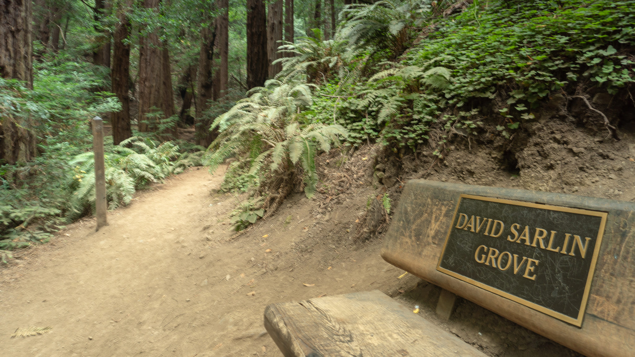
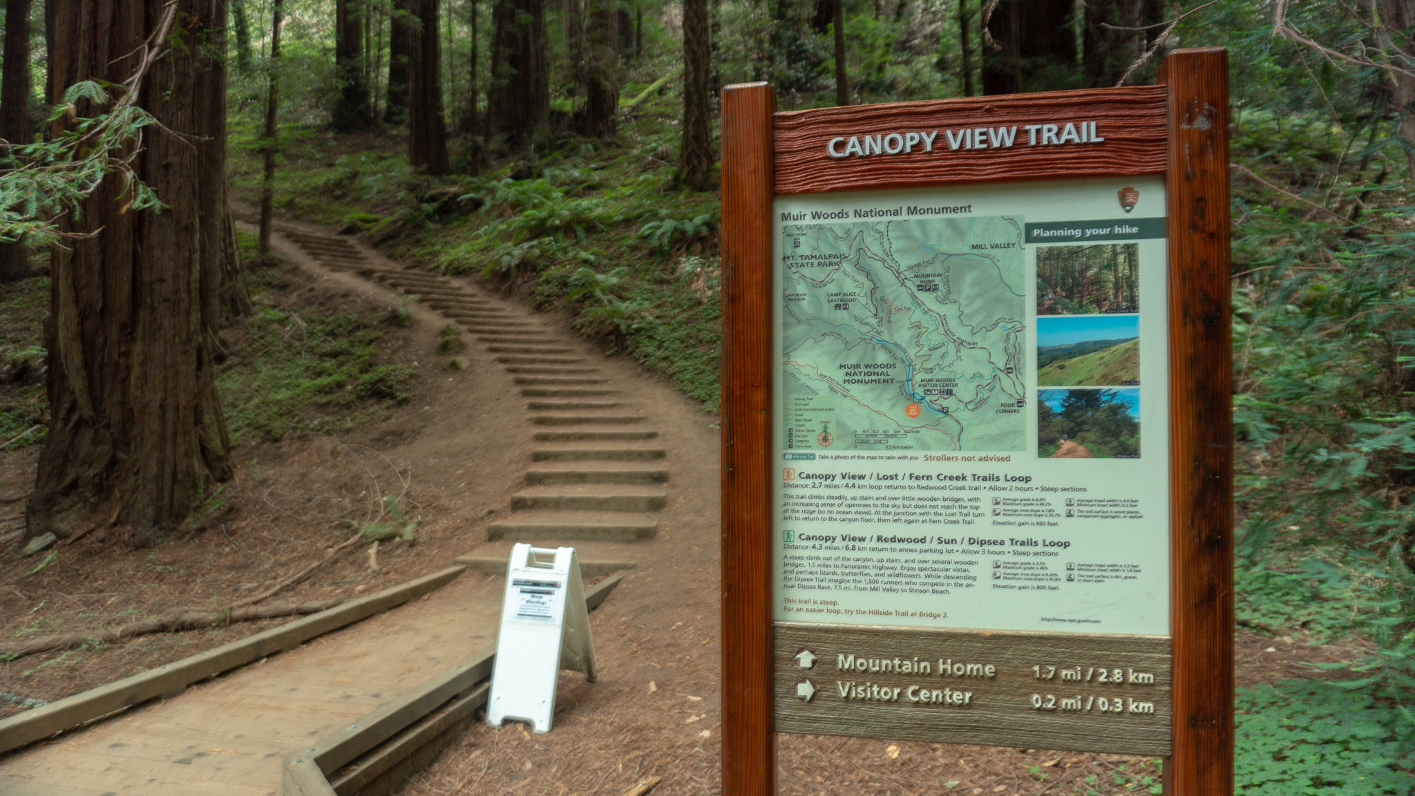
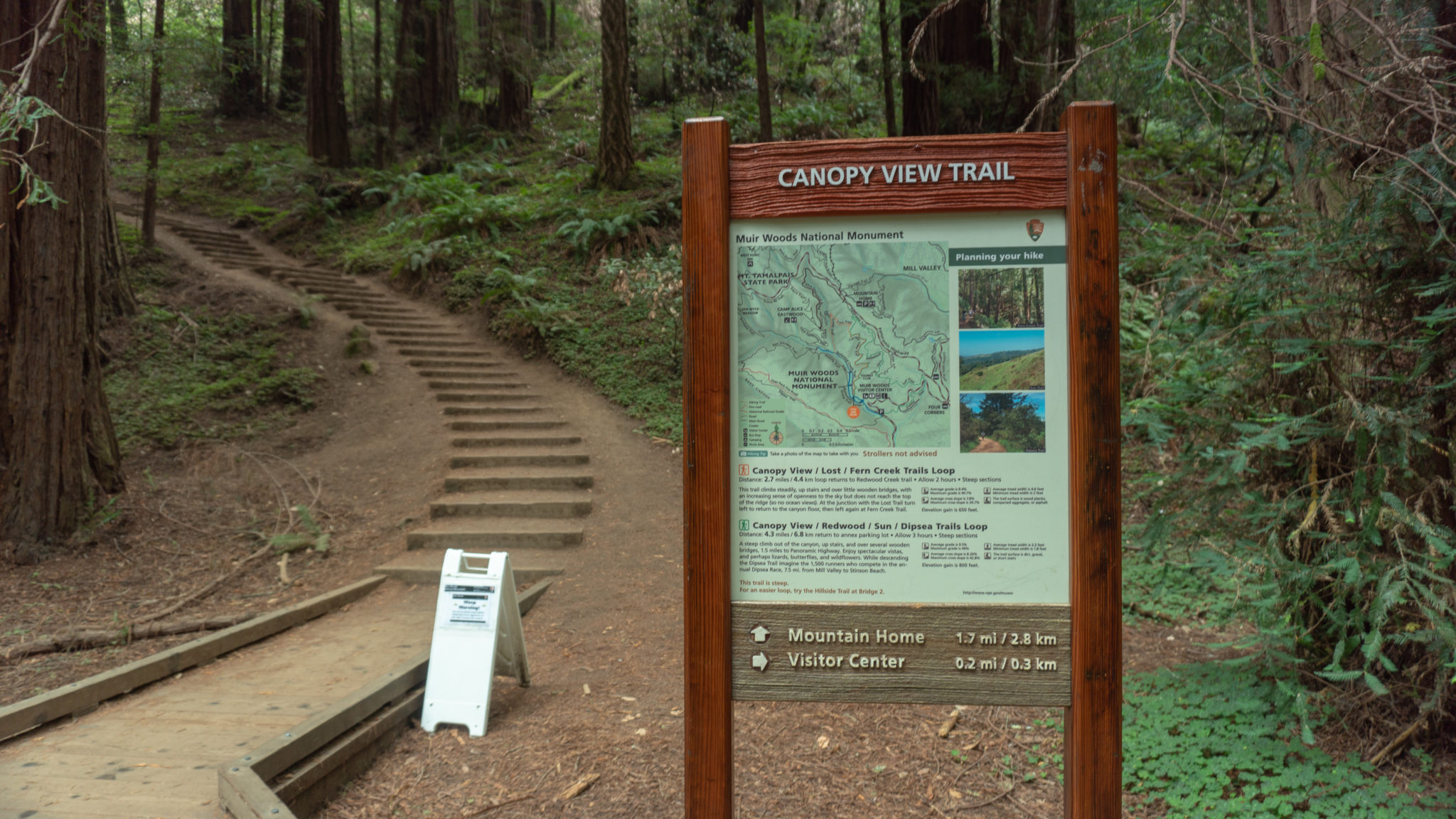
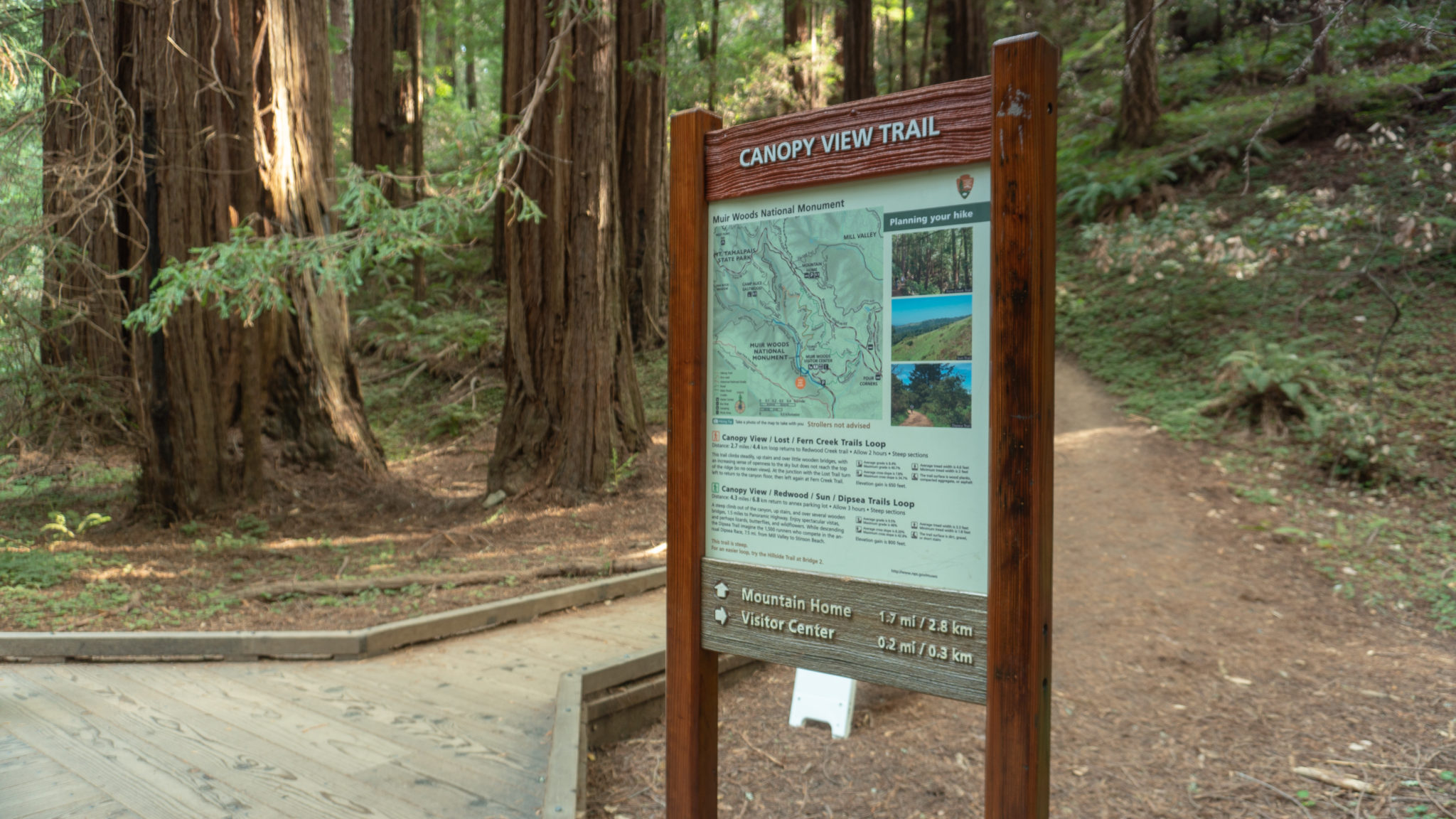
Just past the Founders Grove, turn right onto the Canopy View Trail, leaving the flow of people traffic behind on the Redwood Creek Trail. You’ll return on the Redwood Creek Trail straight ahead, so no worries—you’ll still get to enjoy it on your way back! Weave through young redwoods and massive Douglas firs, gently climbing north on the slope of Redwood Canyon. After a half mile, the David Sarlin Grove appears beneath fragrant bay laurel trees, with a bench facing a grove of redwoods.
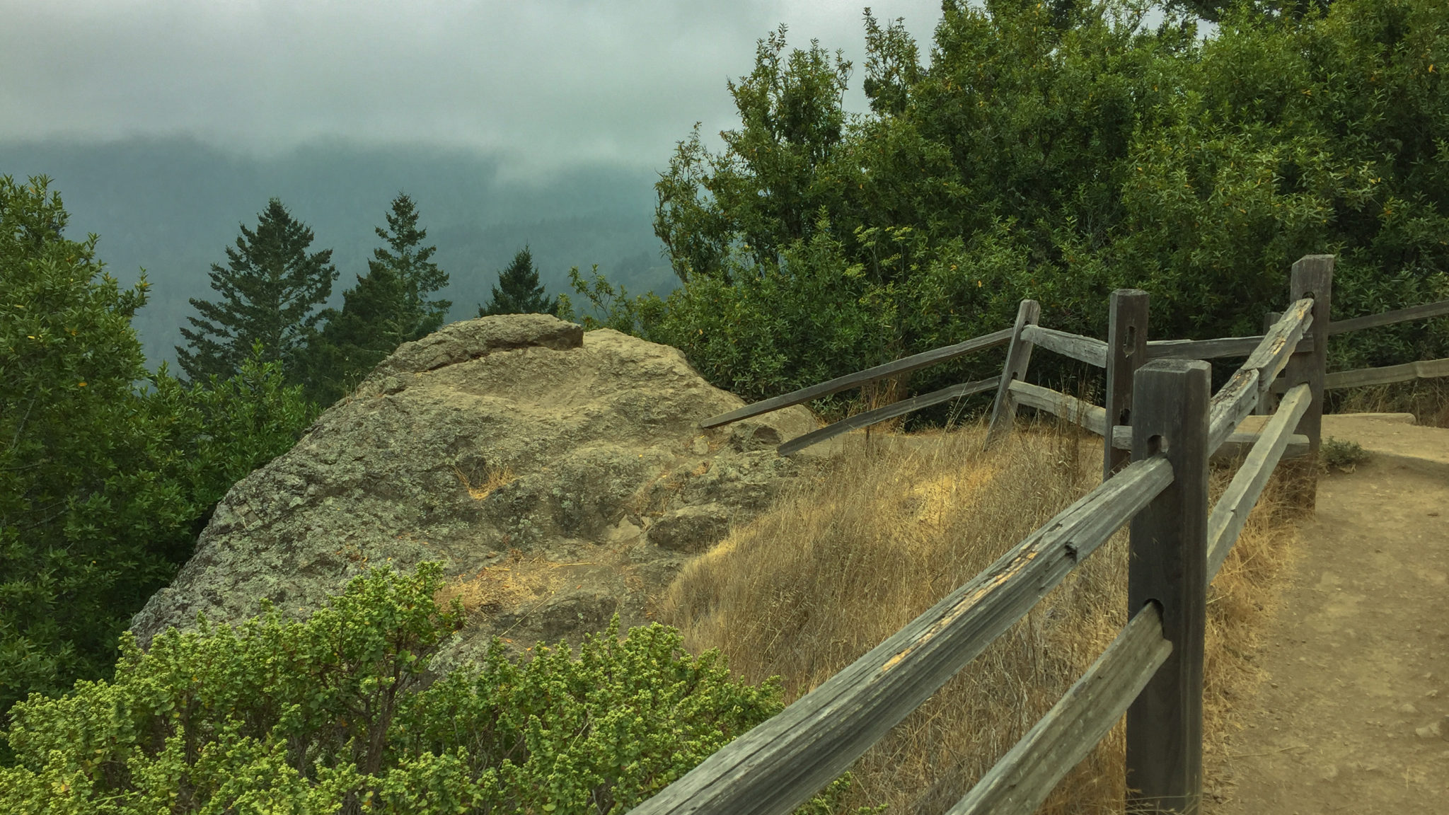
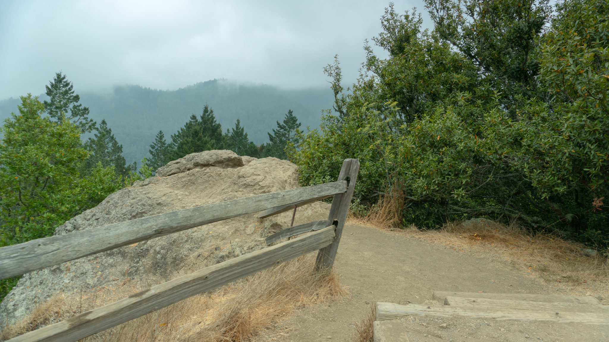
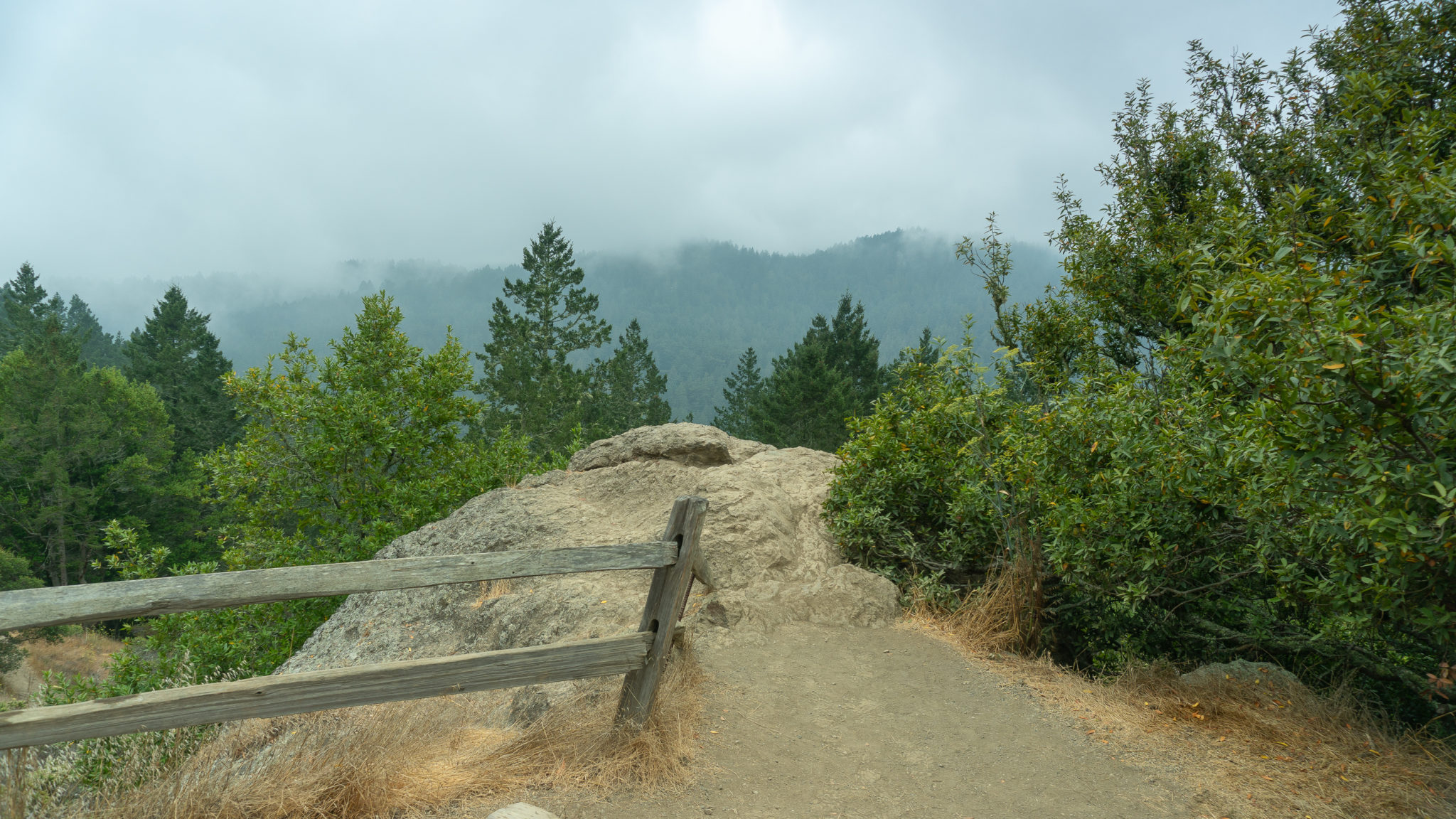
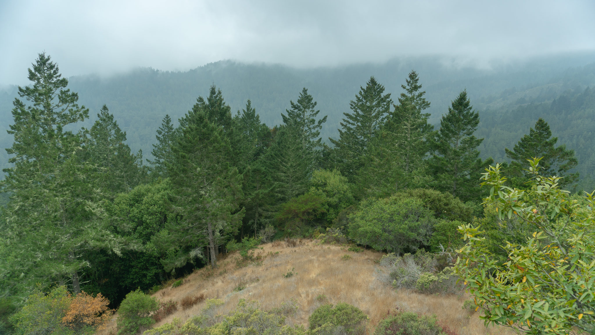
In another 0.8 miles, at the 1.5-mile mark, you’ll reach a junction for the Lost Trail on your left. You’ll take Lost Trail to continue your loop, but for now, bear right onto the Canyon View Trail for 0.3 miles to an overlook of Redwood Canyon. Follow a split rail fence all the way up towards Panoramic Highway and just below it, a large boulder provides a view of Redwood Canyon to the southwest.

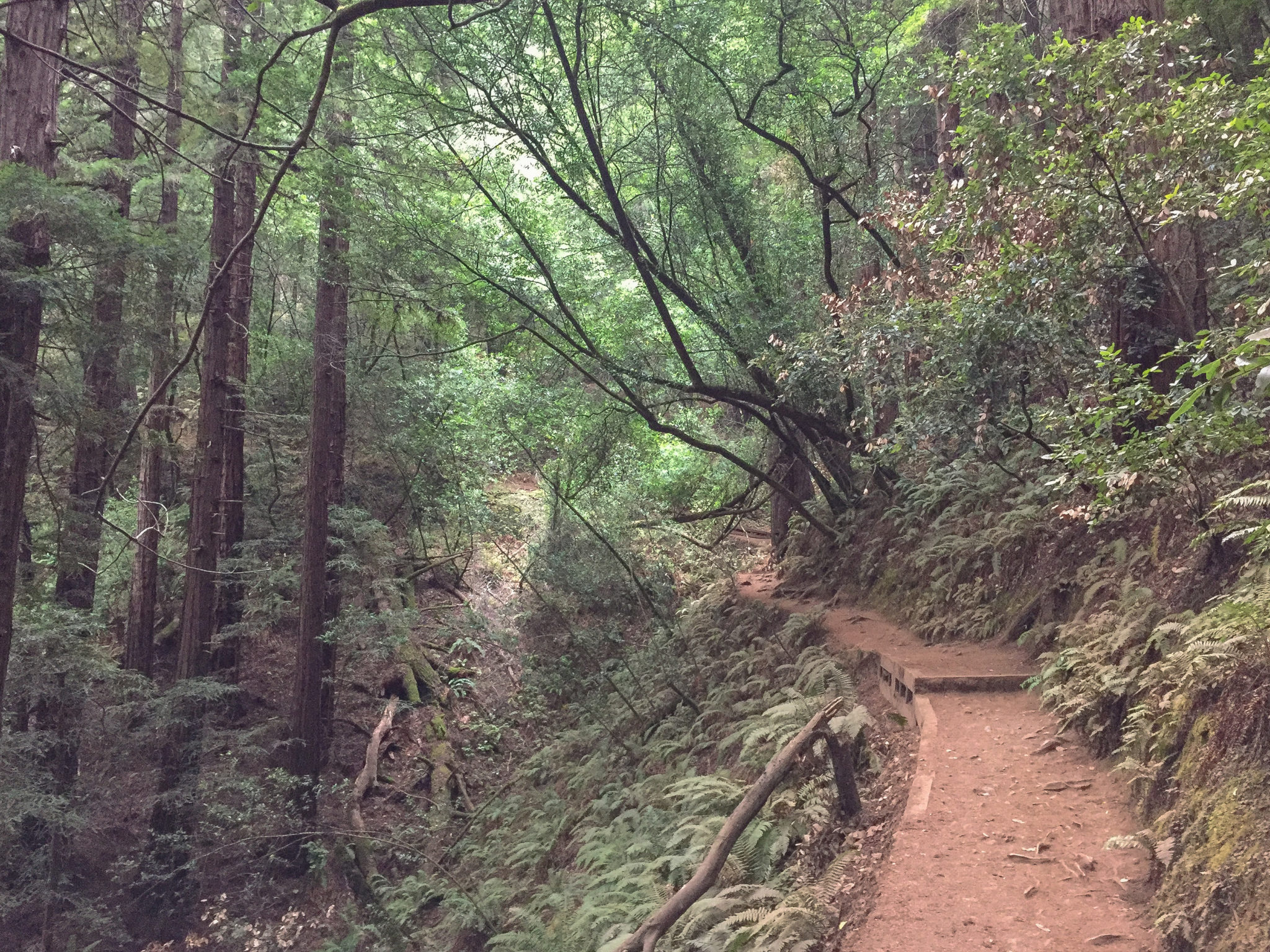
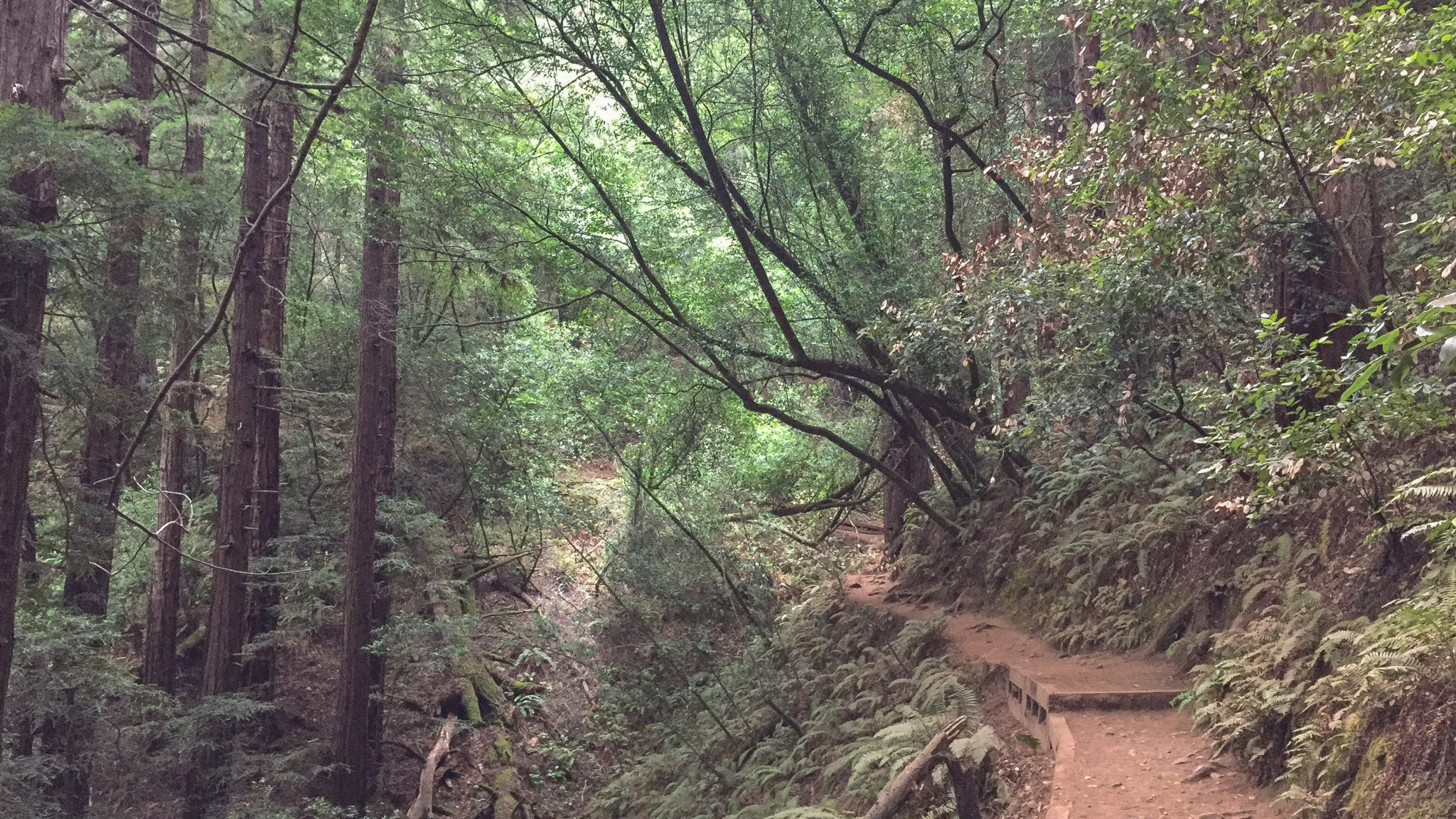
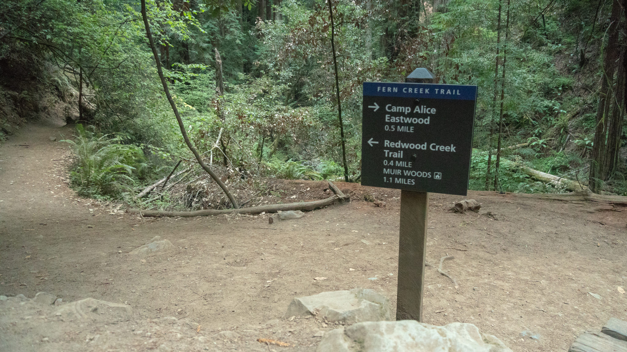
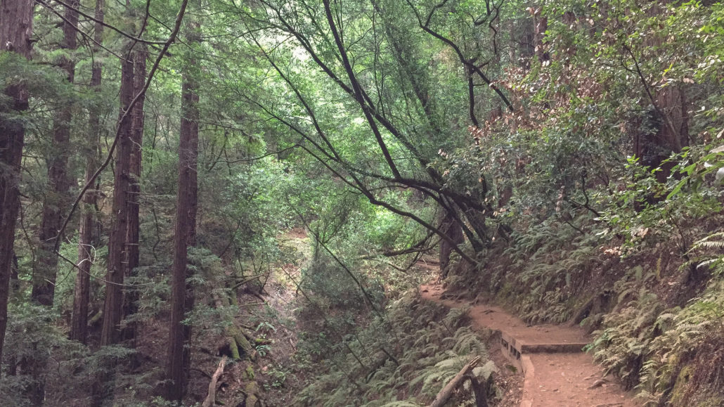
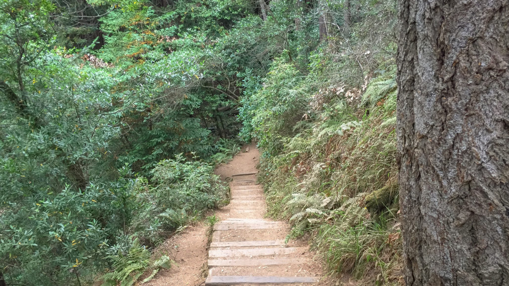
After enjoying the view, retrace your steps back to the Lost Trail junction and turn right, descending 0.5 miles northwest towards the Fern Creek Trail. Large Douglas firs and poison oak grow alongside the sharply descending trail, with wooden stair steps leading to Fern Creek below. A landslide covered the trail in the 1930s for thirty years, hence the name “Lost.”
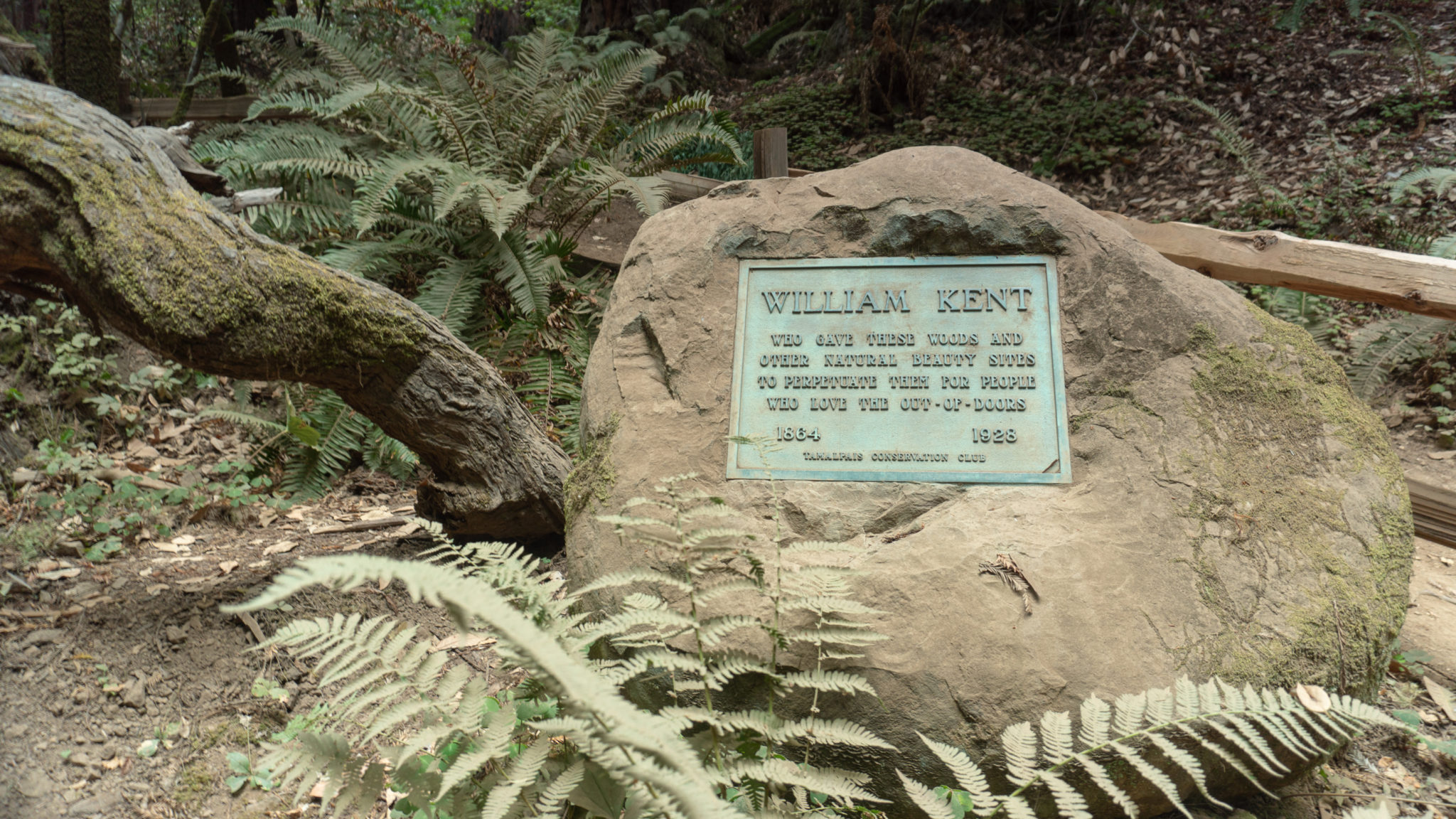
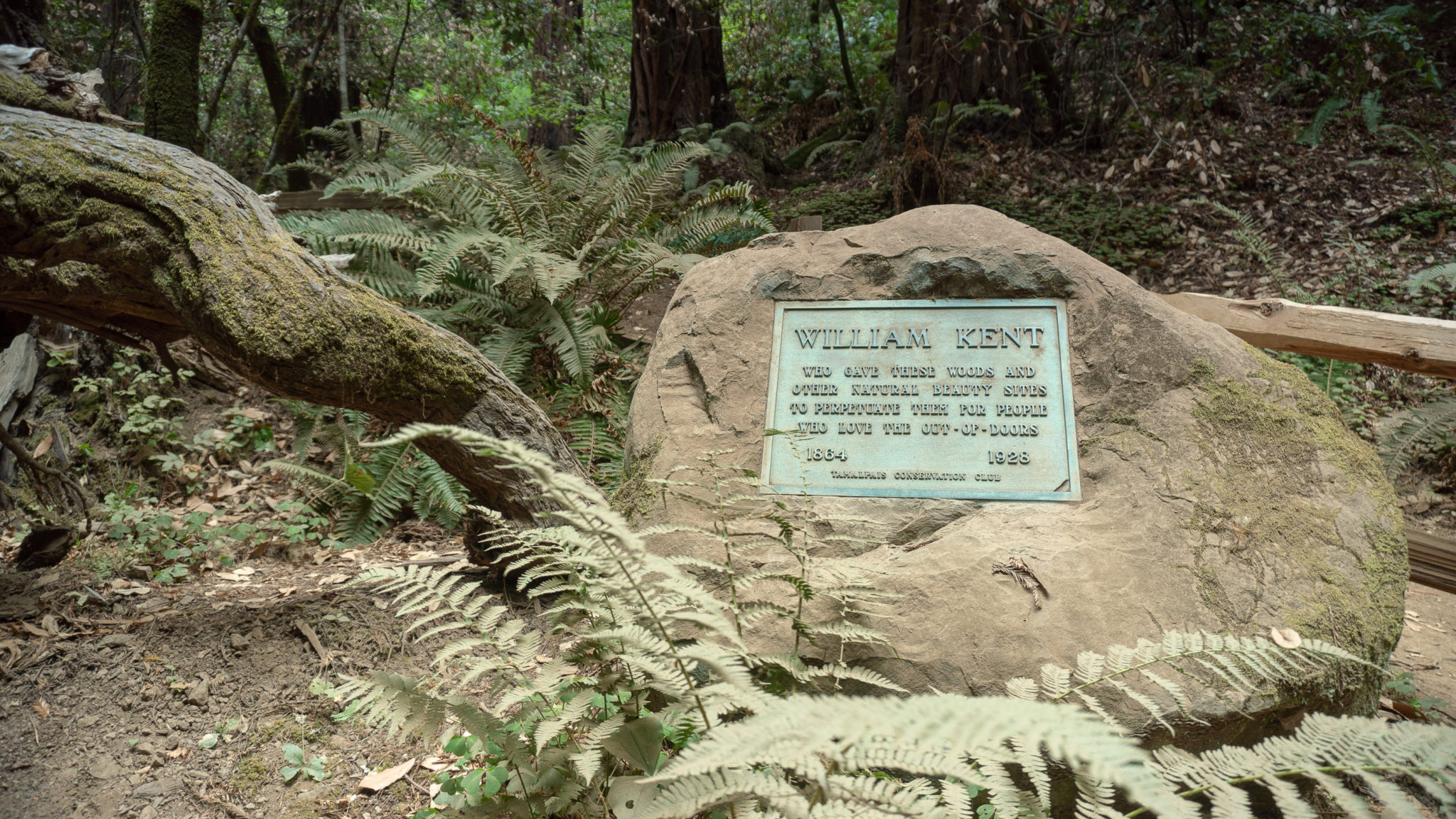
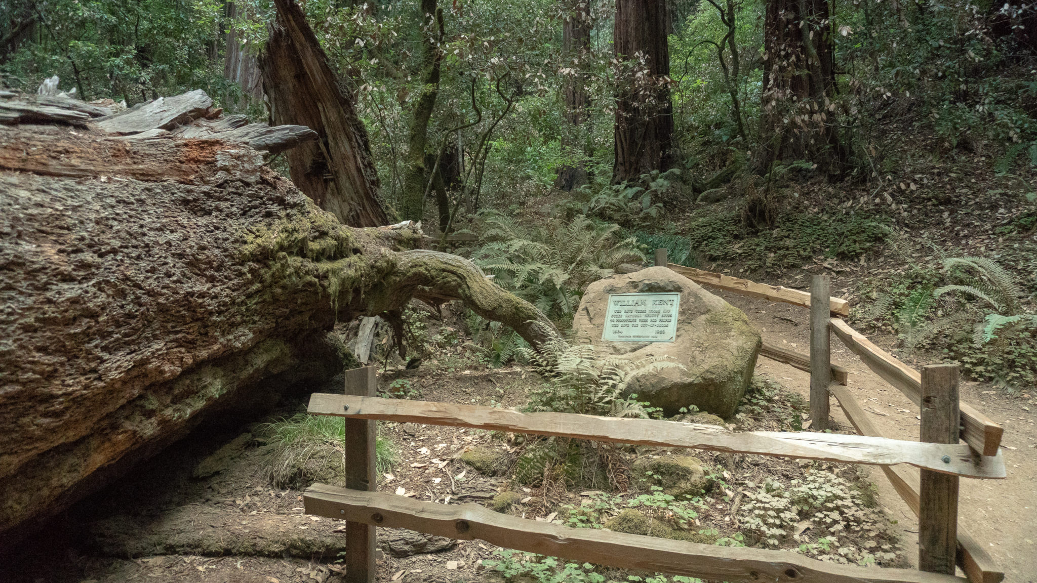
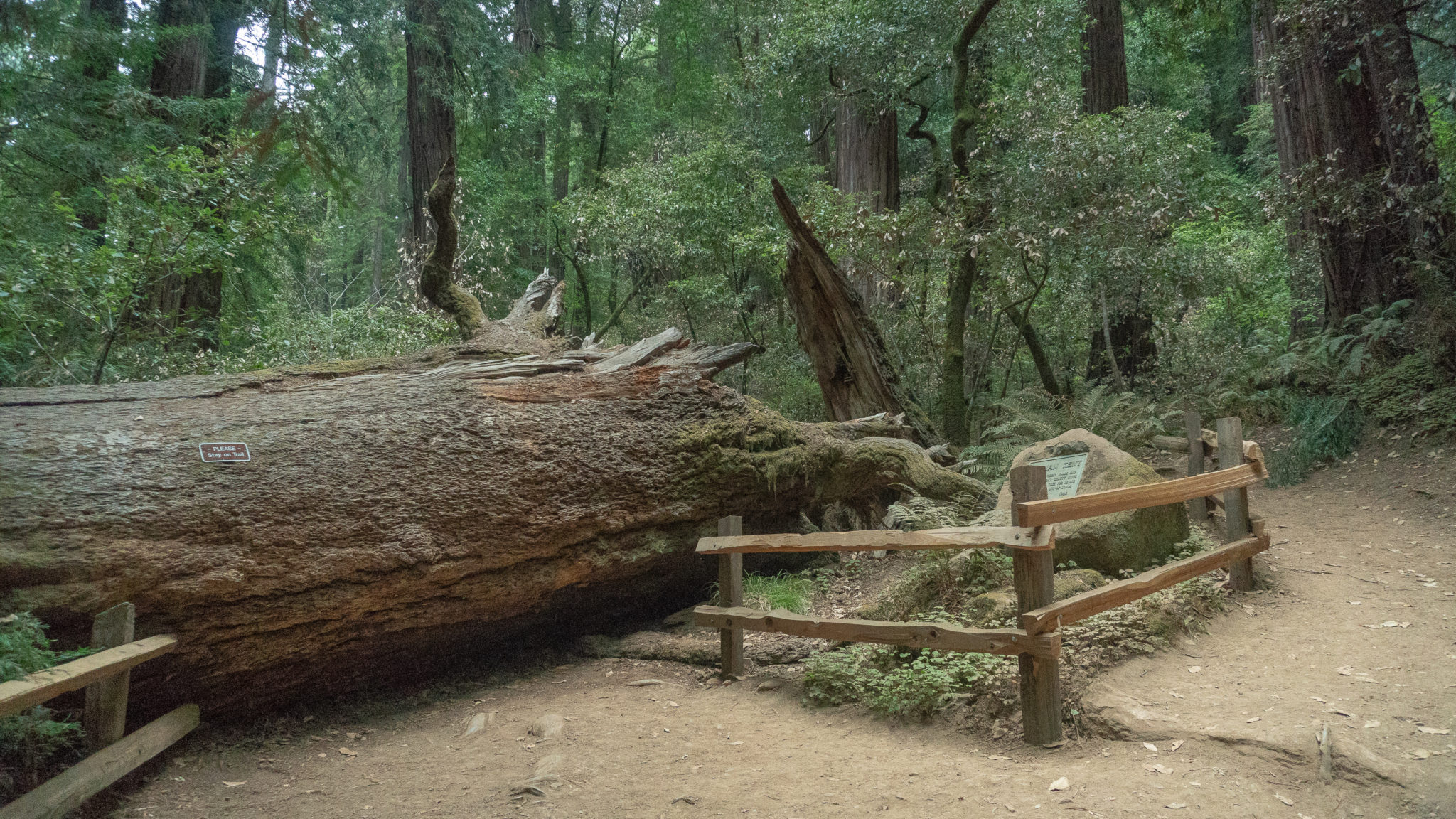
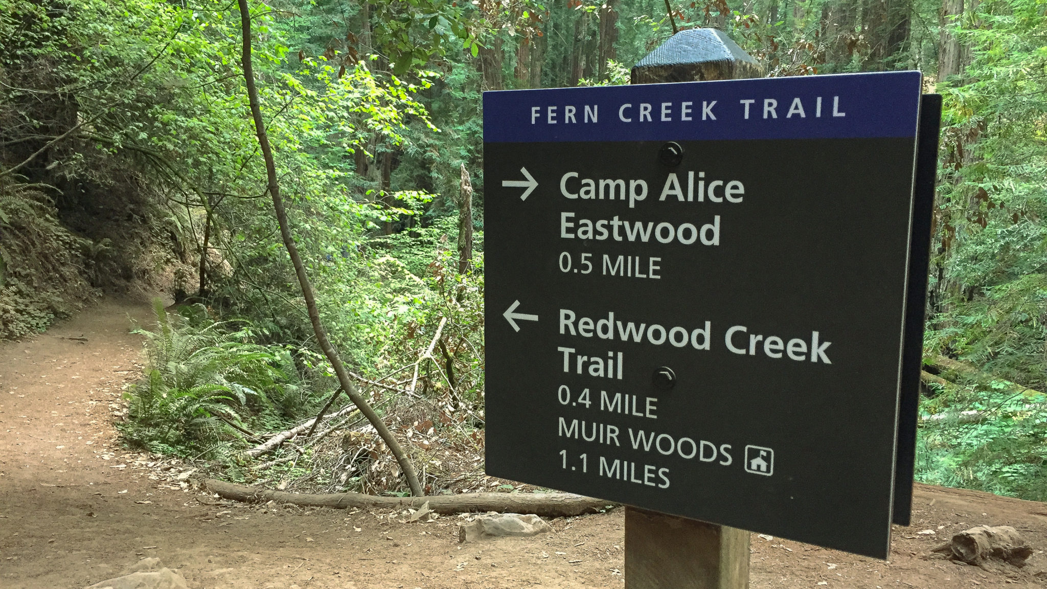
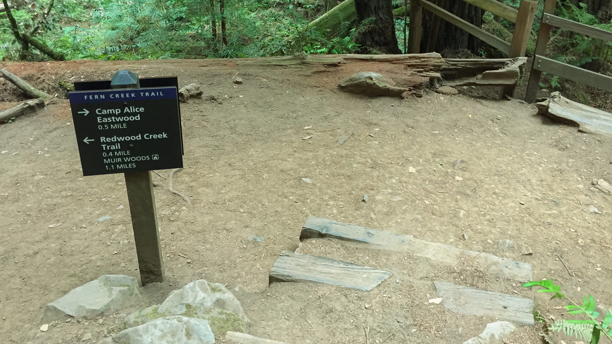
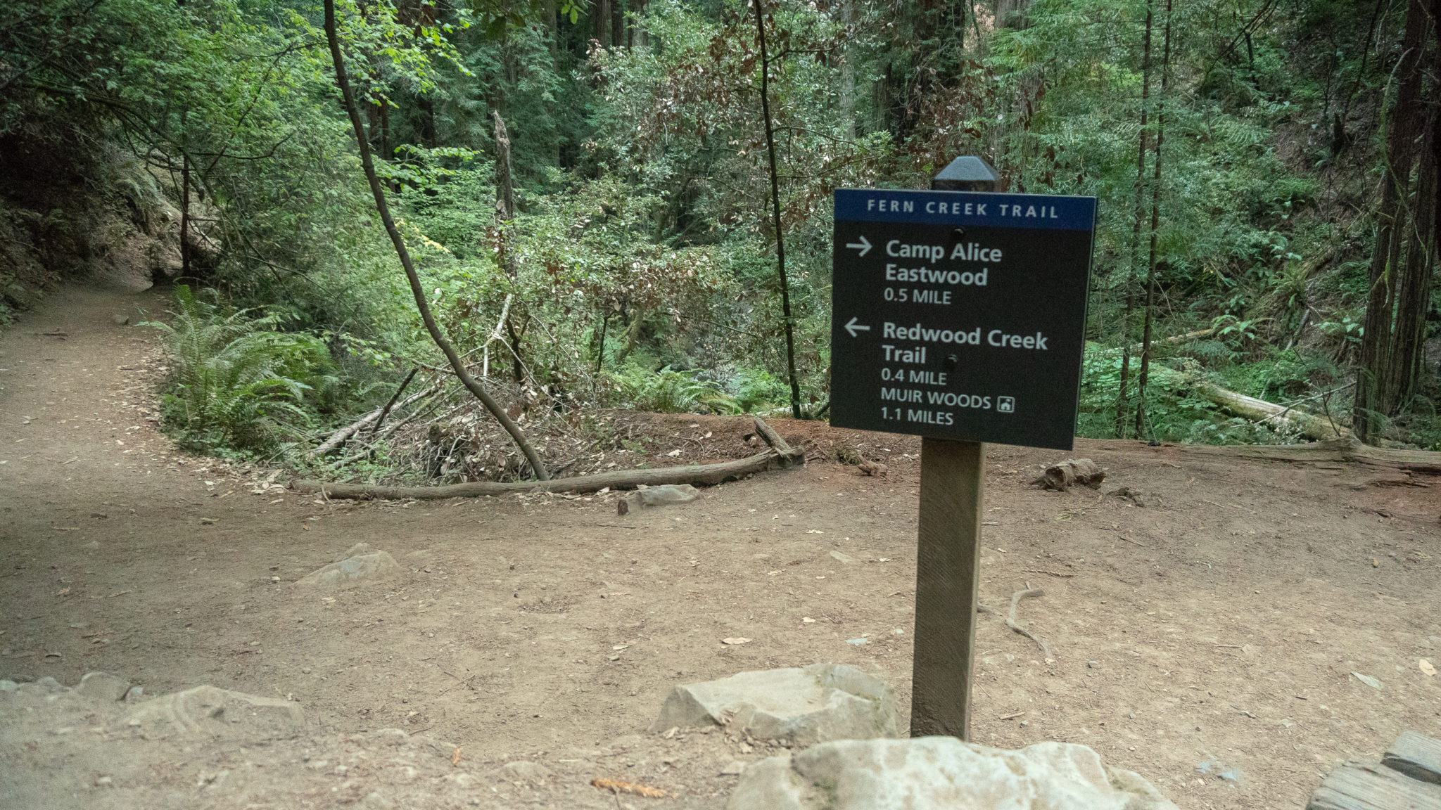
At the 2.6-mile mark, turn left onto the Fern Creek Trail, heading south towards Redwood Creek Trail. This scenic stretch crisscrosses Fern Creek, a tributary of Redwood Creek, next to mature redwoods for the next 0.4 miles. Pass a brown sign for Muir Woods National Monument, and just after it, keep your eyes peeled on the right for the Kent Memorial plaque next to a fallen Douglas fir tree. This tree was William Kent’s favorite, standing 220 feet tall until it toppled over in March 2003.

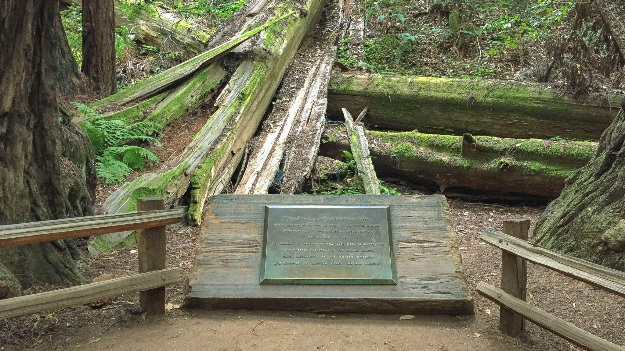
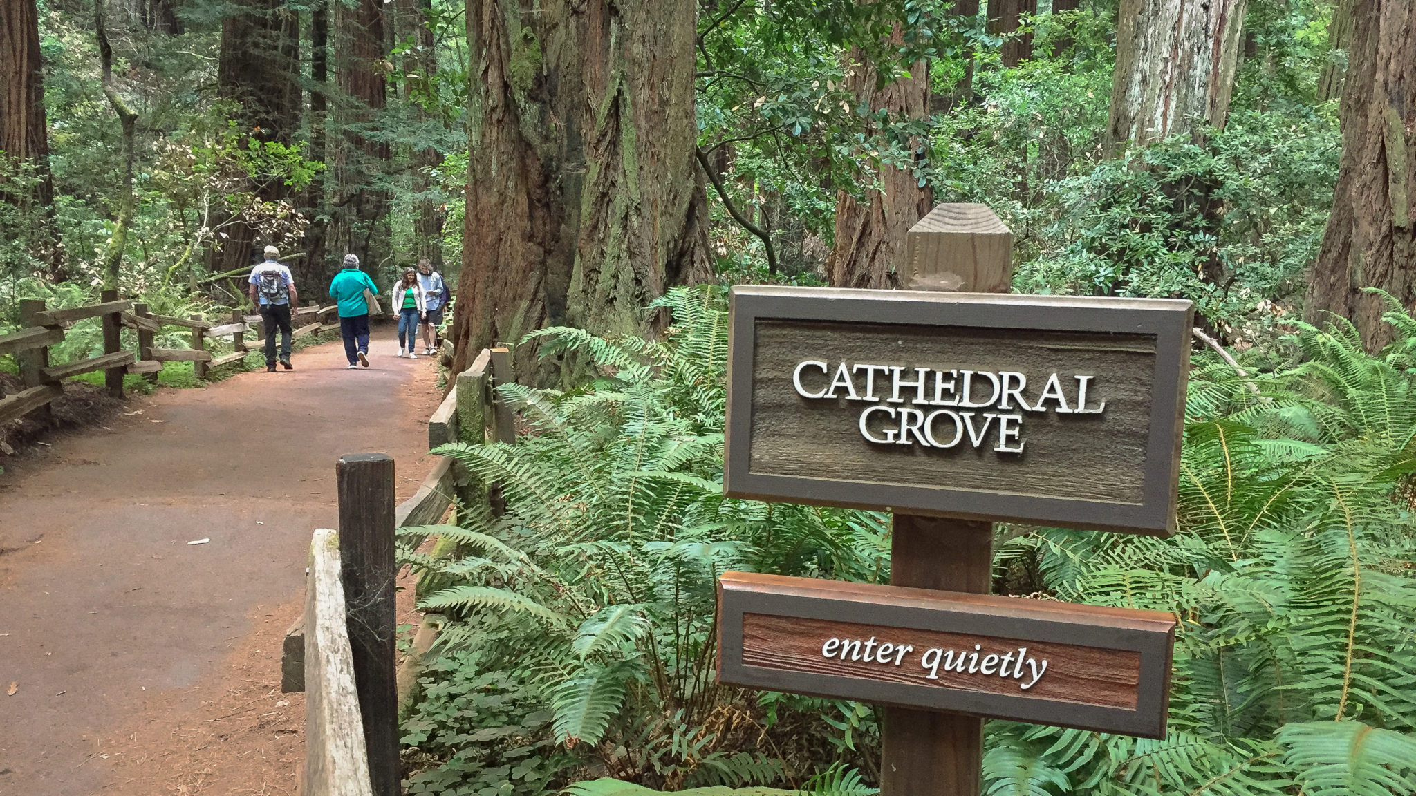
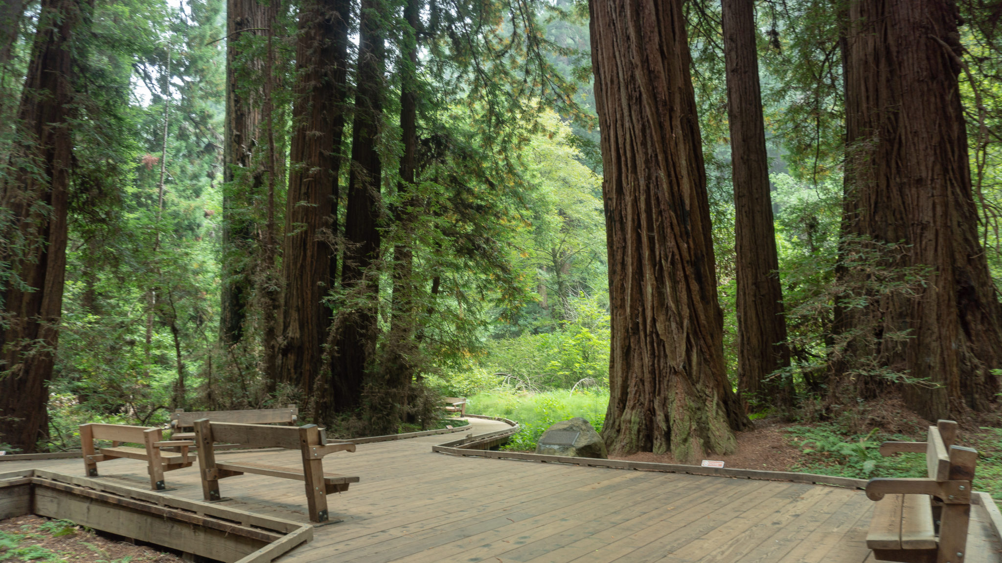
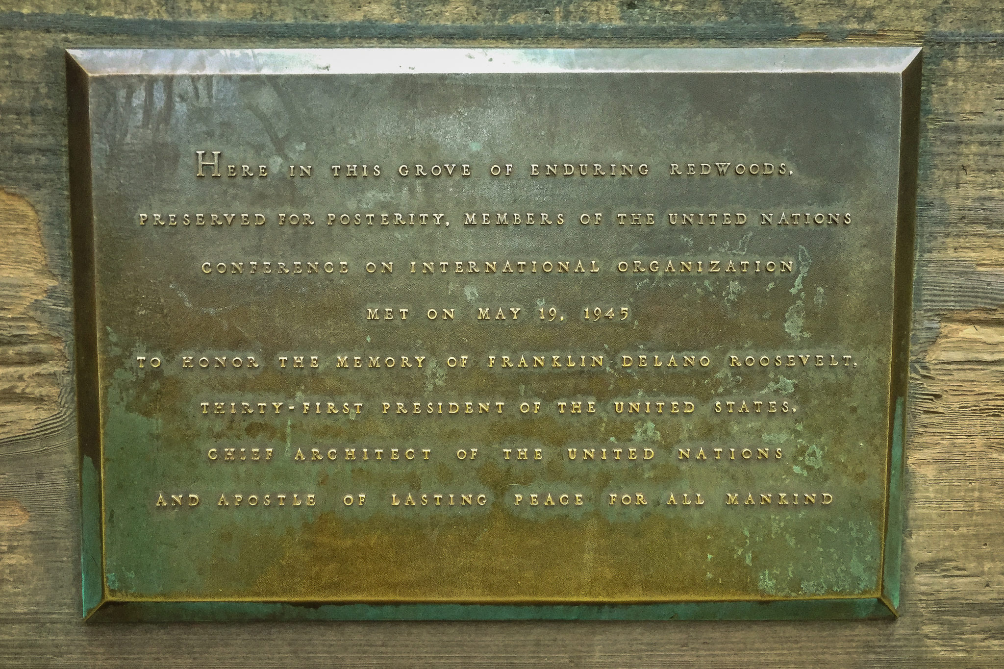
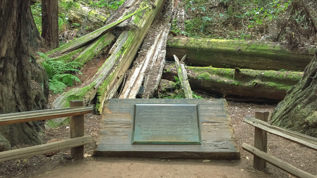
Reach the Redwood Creek Trail at the 3.0-mile mark and turn left towards the Muir Wood Visitor Center. At Cathedral Grove, look for plaque on the east side of the trail honoring President Franklin Delano Roosevelt. On May 19, 1945, delegates from the United Nations Conference on International Organization (UNCIO) gathered here to hold a special session and to remember President Roosevelt. Roosevelt was one of the visionaries behind the United Nations, formed to encourage peace among nations in the wake of World War II. Sadly, he passed away on April 12, 1945, only weeks before the UNCIO conference.
Back in February of 1945, when they were still planning the conference, Secretary of the Interior Harold Ickes pitched the idea of a special UNCIO session at Muir Woods National Monument, conceived by the Save the Redwoods League, to President Roosevelt. He wrote:
Not only would this focus attention upon this nation’s interest in preserving these mighty trees for posterity, but here in such a ‘temple of peace’ the delegates would gain a perspective and sense of time that could be obtained nowhere in America better than in a forest. Muir Woods is a cathedral, the pillars of which have stood through much of recorded human history. Many of these trees were standing when Magna Carta was written. The outermost of their growth rings are contemporary with World War II and the Atlantic Charter. (www.nps.gov)
When ready, continue southeast on the Redwood Creek Trail to the Founder’s Grove, where you can catch a Tree Talk, a 15-minute talk given by rangers and volunteers about coast redwoods (times vary, but they’re typically held at 11:30, 1:30, or 2:30). Finish your hike at the Muir Woods Visitor Center at 3.8 miles.

Notes:
- Muir Woods does not allow pets, with the exception of federally recognized service dogs.
- Park hours are 8:00 a.m. – sunset.
- Restrooms are located in the courtyard near the visitor center, and behind the café/gift shop
- As of August 2018, the entrance fee for Muir Woods National Monument is $10 for adults (16 and over), free for children (15 and younger). Visit nps.gov/muwo for more information.
- A parking reservation is required if you plan to drive to Muir Woods. Reservations can be made on gomuirwoods.com or by calling 1-800-410-2419. As of August 2018, the fee for a parking reservation is $8 per vehicle ($11.00 for electric cars).
- Shuttle buses run from bus stops in Sausalito to Muir Woods. Reservations for the shuttle are also required. Fees are $3 round-trip for adults, free for children 15 and under. Reservations can be made on gomuirwoods.com or by calling 1-800-410-2419.
- There is no cell service or WiFi in the park, so be sure to download or print your confirmation before you arrive.
- Taxi and rideshare services can make pick-ups and drop-offs at the Muir Woods entrance. Just be sure to schedule your return ahead of time (remember, no cell reception). If you get stuck, there is a payphone behind the restrooms in the courtyard and a park service phone in the visitor center that rangers may let you use at their discretion.
- Bike racks are located in the Muir Woods courtyard and a limited number of bike locks available to borrow for free at the Muir Woods Visitor Center.
- You can also hike-in to Muir Woods via connecting trails from Mount Tamalpais State Park, Panoramic Highway, and other spaces in the Golden Gate National Recreation Area.
Tags: california, coast redwoods, forest, Hiking, john muir, Marin County, Mount Tamalpais, Muir Woods, nature, Redwood Canyon, Redwood Creek, redwood forest, san francisco