Just minutes from the heart of Palm Springs are bountiful nature opportunities in the Santa Rosa Mountains, including hikes to the top of Cahuilla Peak. While several trails reach its summit, we decided to take the Araby Trail up, which not only is beautiful but also features some of the city’s iconic architecture, including the Bob Hope House. At about five miles and with 1700 feet of elevation gain, this hike isn’t a walk in the park. But if you’re a fan of vast, wide-open views and want to work up a sweat, then this trail is for you.
Getting to the trailhead is very easy, as it’s just off S Palm Canyon Dr about 10 minutes from downtown. There, you’ll find a dirt lot that fits about 10 cars (parking is prohibited between 10 PM and 5 AM). Once you’re ready to go, cross Southridge Dr and follow signs for the Araby trail to start your trek.
The first section of trail is unremarkable, as it parallels a trailer park to the left and private property to the right. Don’t fret, as soon you’ll be up high and away from the development. In fact, the mostly flat and shaded path was a nice way to ease into the rest of the hike, as after this point you’ll have lots of climbing in direct sunlight. Make sure to bring plenty of water and skip this trail in the summer if you can.

Starting the ascent up to Cahuilla Peak. Shot on FujiFilm Superia X-TRA 400 film.
After about a quarter mile, turn right to start your ascent. Note that this junction is a little confusing, as it initially feels like you’re walking up to someone’s house. However, after a few switchbacks, you’ll continue past the private property and into more open space. Here, views of Palm Springs start to unfold – I was surprised at how expansive they were so early in our hike. You also have unobstructed views of planes taking off and leaving from Palm Springs International Airport, which is fun to see.
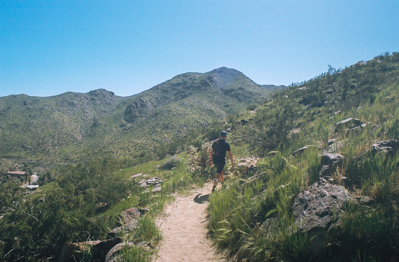
Continuing uphill, the surrounding Santa Rosa Mountains begin to reveal themselves. We were fortunate to hike this trail in the spring when they were covered in green grass. If it weren’t for the flora, like the California Cholla, and auburn-colored rocks that dotted the trail, I would not have believed you if you told me we were in the desert. It was a spectacular event to witness.
The Santa Rosa Mountains were completely covered in green grass when we hiked. Shot on FujiFilm Superia X-TRA 400 film.
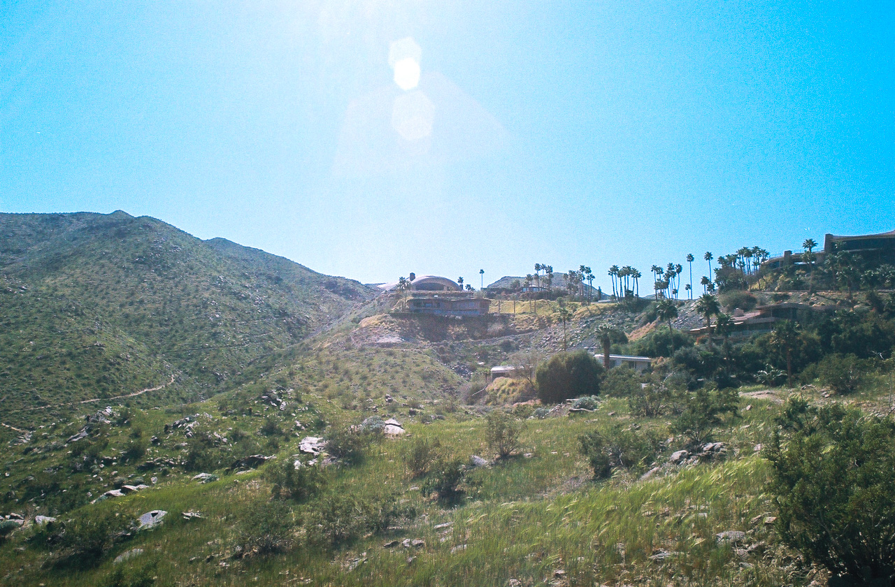
About three-quarters of a mile in, you’ll see several impressive homes in front of you, including the famed Bob Hope House with its quirky and eye-catching roof. Then, at 0.8 miles, the trail slightly descends, giving you a welcome relief from your uphill slog. However, this break is short-lived and soon you’ll be ascending again.

the trail runs adjacent to several Palm Springs homes. Shot on FujiFilm Superia X-TRA 400 film.
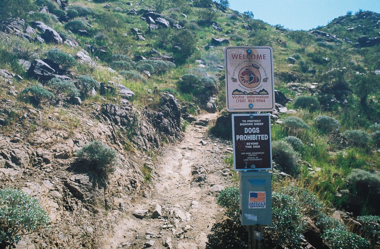
At mile 1.2, you’ll hike by the Bob Hope House, giving you the chance to see its unique architecture up close. You’ll also pass a sign marking the border of the Santa Rosa and San Jacinto Mountains National Monument. Beyond this point, dogs are not allowed to protect local bighorn sheep. Now inside federally managed land, the surroundings almost immediately began to feel more rugged and pristine.

Once past the homes, you reach the border of the Santa Rosa and San Jacinto Mountains National Monument. Shot on FujiFilm Superia X-TRA 400 film.
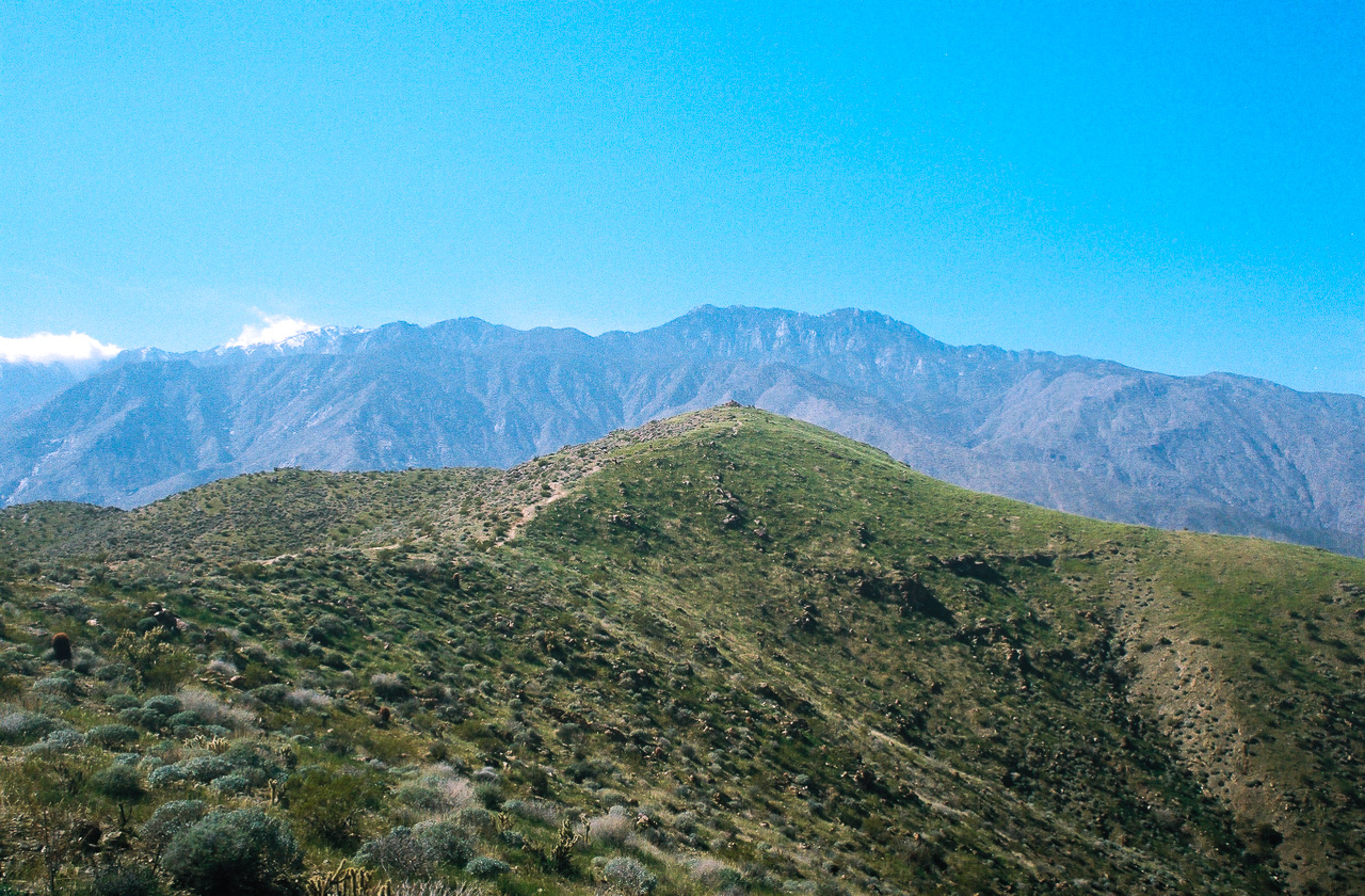
Continuing your climb, the vistas become more and more impressive, including clear views of the majestic San Jacinto Mountains to the west. Its peaks were covered in snow when we hiked this trail, which was a little ironic given how much we were sweating closer to the desert floor.
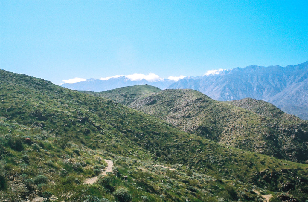
You can see the San Jacinto Mountains in the distance. Shot on FujiFilm Superia X-TRA 400 film.

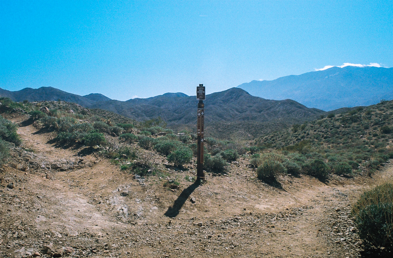
Head right onto the Berns Trail. Shot on FujiFilm Superia X-TRA 400 film.
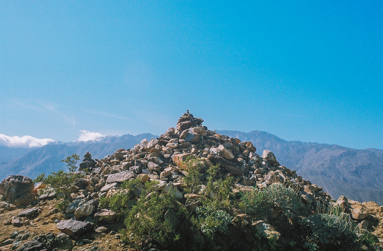
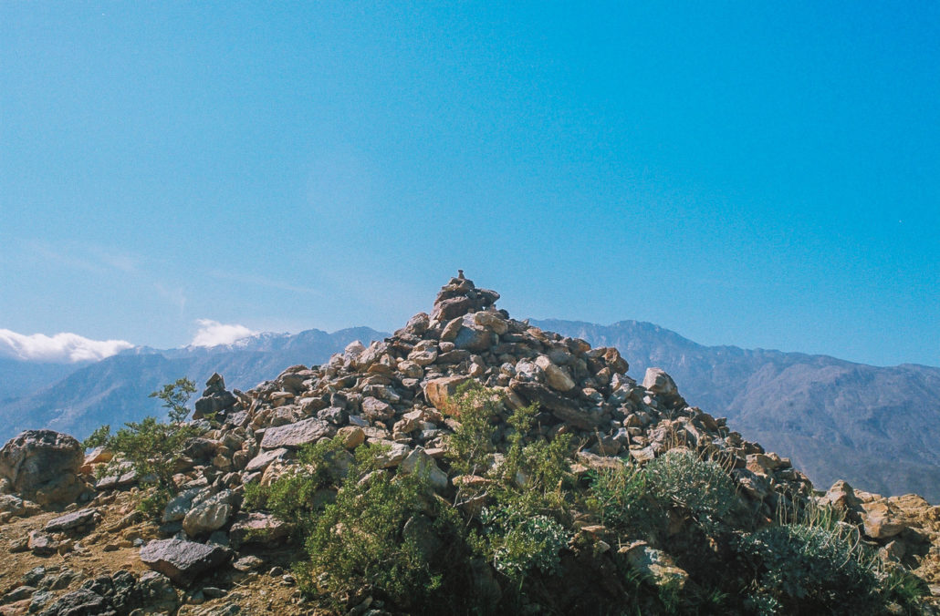
Mile 1.7 brings a trail junction – veer right and continue on the Berns Trail. A few steps further you’ll find a very short spur trail to your right which will take you to the top of an unnamed peak. Otherwise, head left to stay on the main path.

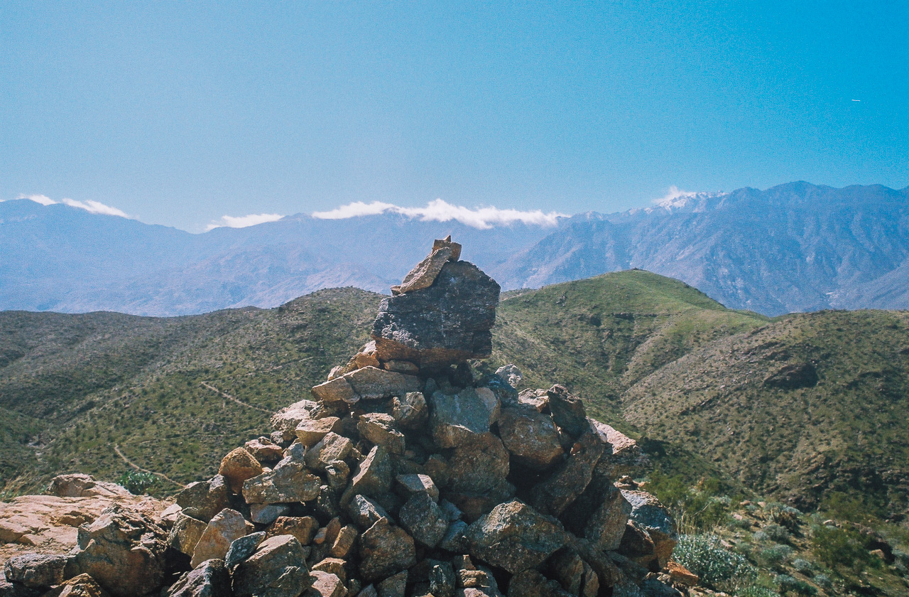
A rock pile on the summit of the unnamed peak. Shot on FujiFilm Superia X-TRA 400 film.
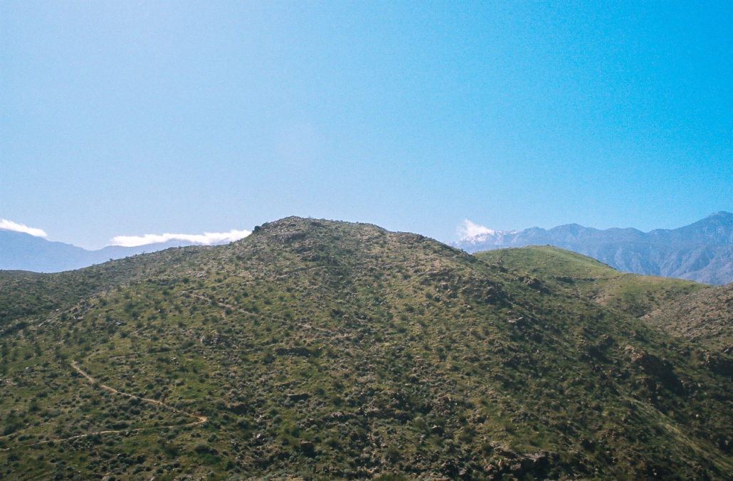
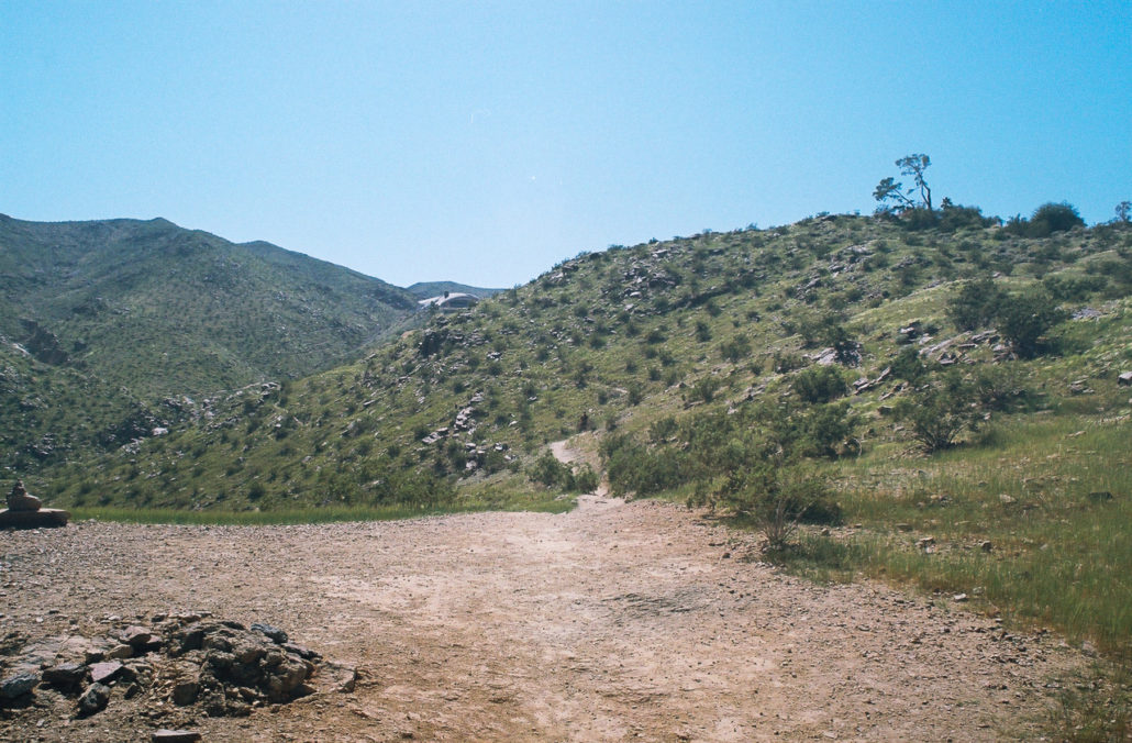
You can see the trail wind in front of you and, in the distance, the summit of Cahuilla Peak. Shot on FujiFilm Superia X-TRA 400 film.
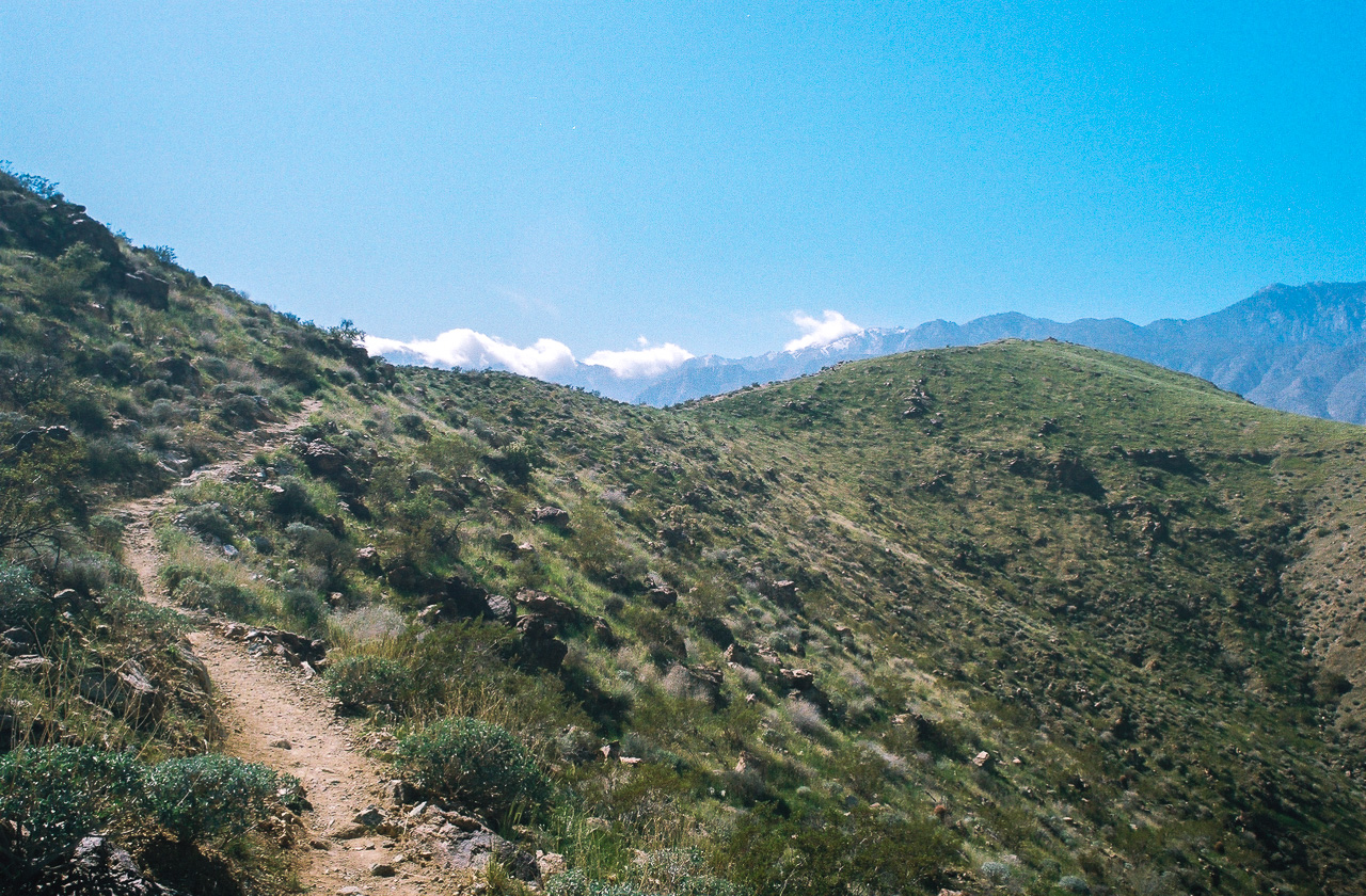
The path starts to descend again, giving you one last break before your final push to the top. Enjoy the picturesque sight of the trail meandering in front of you here. Then at mile 1.9, you can barely make out a pile of rocks in the distance – Cahuilla Peak. 0.2 miles further and you begin your last climb. The only things between you and the summit now are a few switchbacks and one false summit. Finally, at mile 2.7, you’ll reach Cahuilla Peak, elevation 1,522 feet.

The final push to the top. Shot on FujiFilm Superia X-TRA 400 film.
The summit of Cahuilla Peak. Shot on FujiFilm Superia X-TRA 400 film.
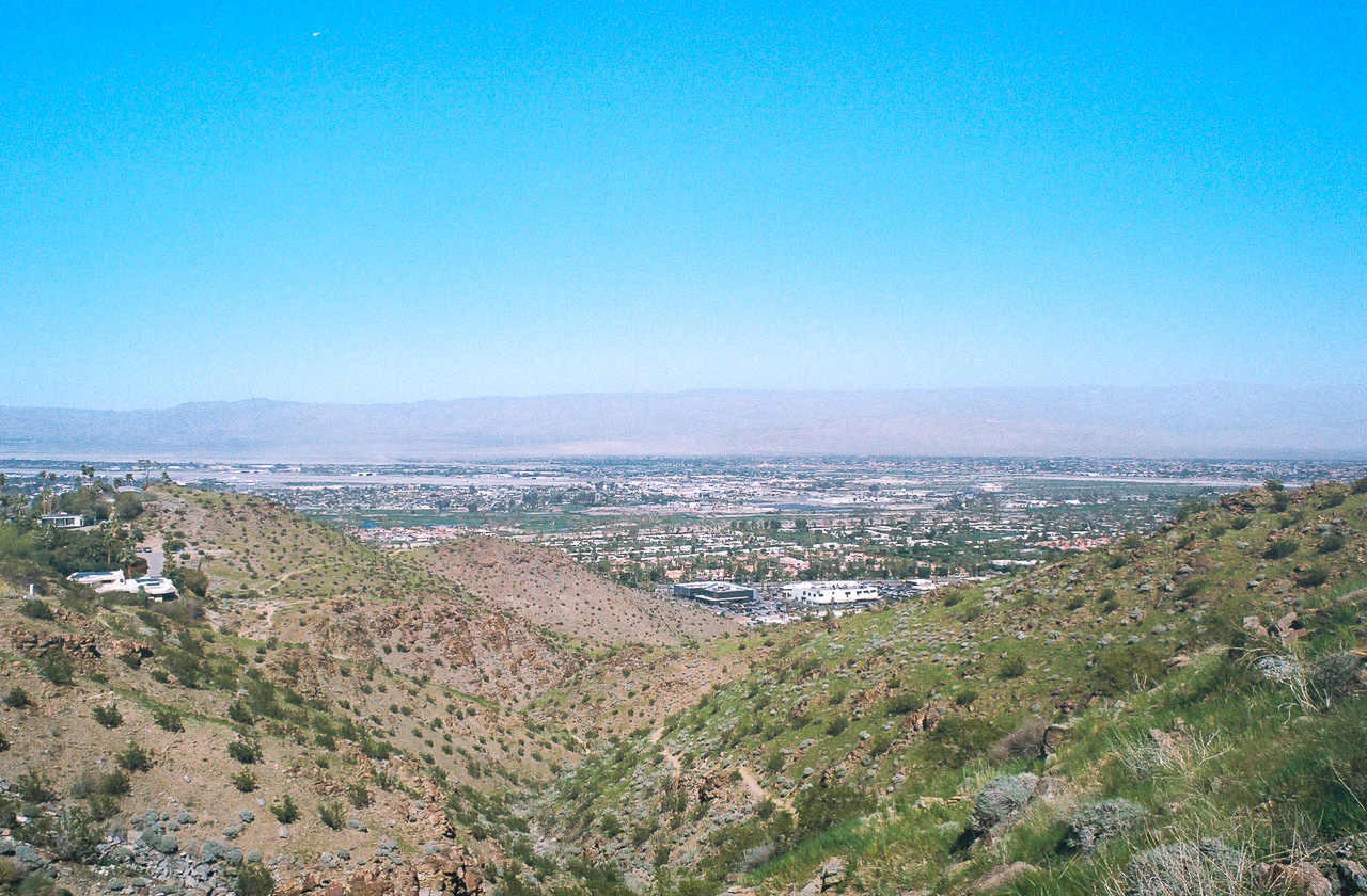
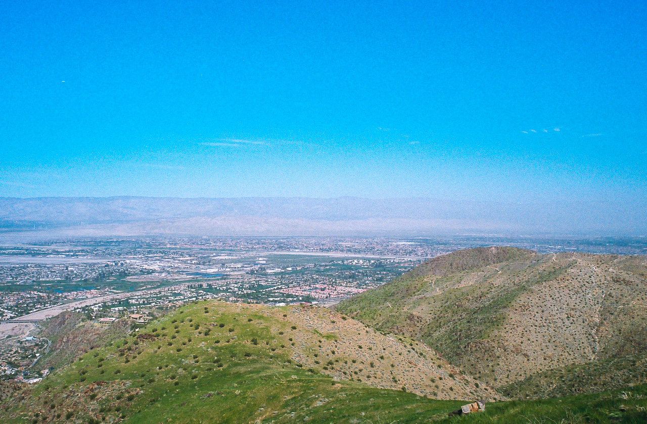
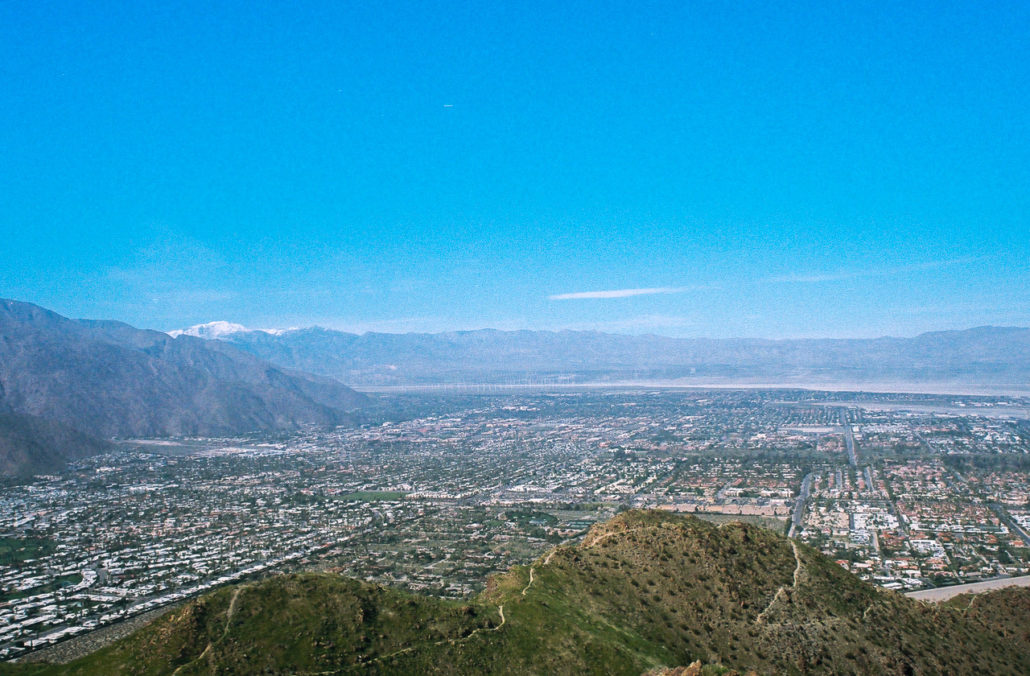
Now, take in the incredible views from your high vantage point. To the east and north are the homes, businesses, and wind turbines of the Coachella Valley. Beyond them are the Little San Bernardino Mountains, separating Palm Springs from Joshua Tree. To the northwest are the towering San Bernardino Mountains, including Mount San Gorgonio, which, at an elevation of 11,499 feet is the highest peak in Southern California. Continuing counterclockwise are the San Jacinto Mountains to the west. Finally, to the south and southeast are the Santa Rosa Mountains. Take your time soaking everything up, it’s worth it.
The Coachella Valley, Little San Bernardino Mountains, and San Bernardino Mountains. Shot on FujiFilm Superia X-TRA 400 film.
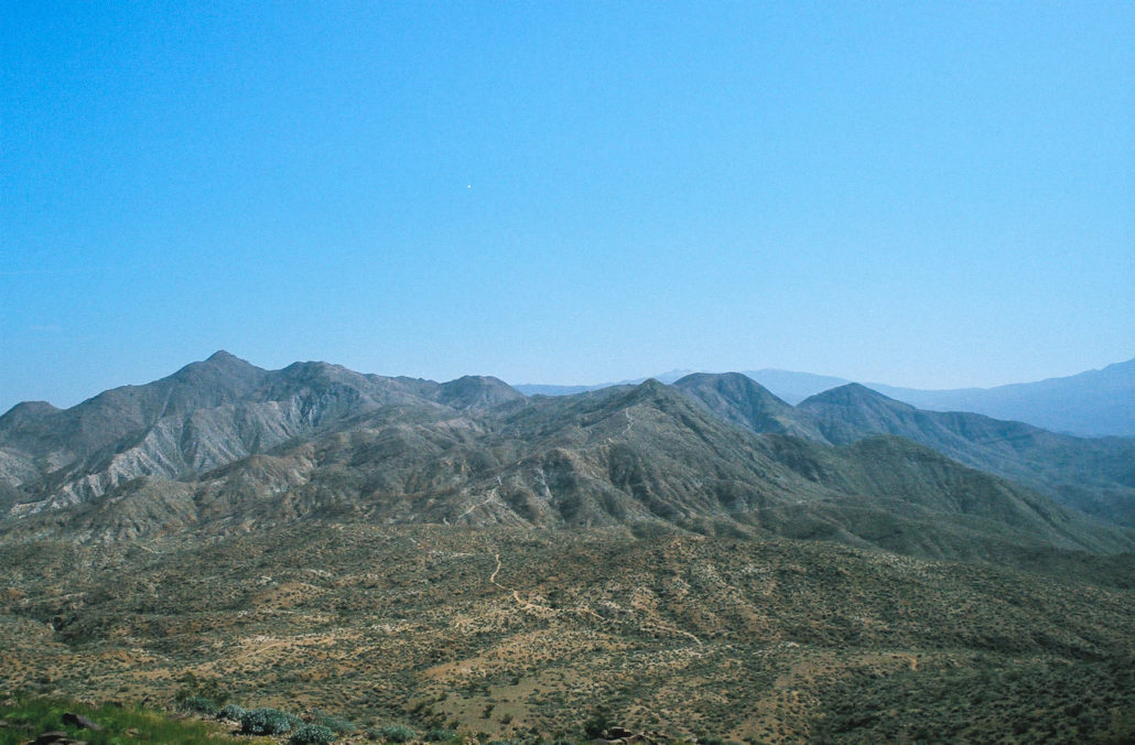
The Santa Rosa Mountains. Shot on FujiFilm Superia X-TRA 400 film.
Once you’re ready to head back down, retrace your steps to complete the hike.
Tags: Cahuilla Peak, desert hiking, Hiking, palm springs, Riverside County, Santa Rosa and San Jacinto Mountains National Monument, Santa Rosa Mountains, summit, views