What if you could enjoy both the cactus-laden desert of the Coachella Valley and the cool alpine slopes of Mount San Jacinto all in one hike? Well, you can. Whether or not you actually enjoy the 10,000 foot climb to the clouds is up to you.
The Cactus to Clouds hike, also sometimes known as simply “C2C,” traverses the Skyline Trail to the summit of San Jacinto. Prepare for a full day adventure requiring planning, timing and a whole lot of water.
The first thing to consider is the time of year you choose to hike. Spring or fall are generally the best seasons when temperatures are not too hot or too cold. Most people will start the hike early in the morning, around midnight, to avoid the heat. However, despite the cover of night, Palm Springs has high temperatures most of the year. In April, when this guide was written, the temperature was 75 degrees at midnight. This hike should not be done during the summer due to extreme temperatures. During the winter, the slopes of San Jacinto are covered in snow and proper equipment would be required to hike safely (ice axe, crampons, etc.). Even in the spring and fall, wind or thunderstorms could be an issue. Therefore, always check ahead of time with the ranger station or mountain forecast sites for current conditions.
With the wide range of temperatures, packing the appropriate clothes and amount of water is necessary. I packed about 4-5 liters of water which I finished completely by the time we got back to the tram. There is also water available at Round Valley, but it needs to be filtered.
The other major consideration is parking and use of the tram. The hike begins at the Skyline Trailhead near the Palm Springs Art Museum. There is plenty of street parking near the museum, but do not park in their lots. At the end of the day, the Palm Springs Aerial Tramway is the best way to get back down the mountain. The tram station on the mountain is conveniently located near the Ranger Station at Long Valley. The other option down the mountain is C2C2C (Cactus to Clouds to Cactus) but most prefer the tram. The tram costs $12 for a one way ticket and it drops off several miles from town. The options to get back to your car are to take a ride service (Uber, Lyft, etc.) or to leave a second car at the tram parking lot before starting your journey. The tram parking lot opens at 7am and overnight parking is allowed, but you have to plan accordingly for when the lot is open. Be sure to check the tramway website for hours of operation, holiday/maintenance closures, updated prices and the amenities the tramway offers when planning your trip.
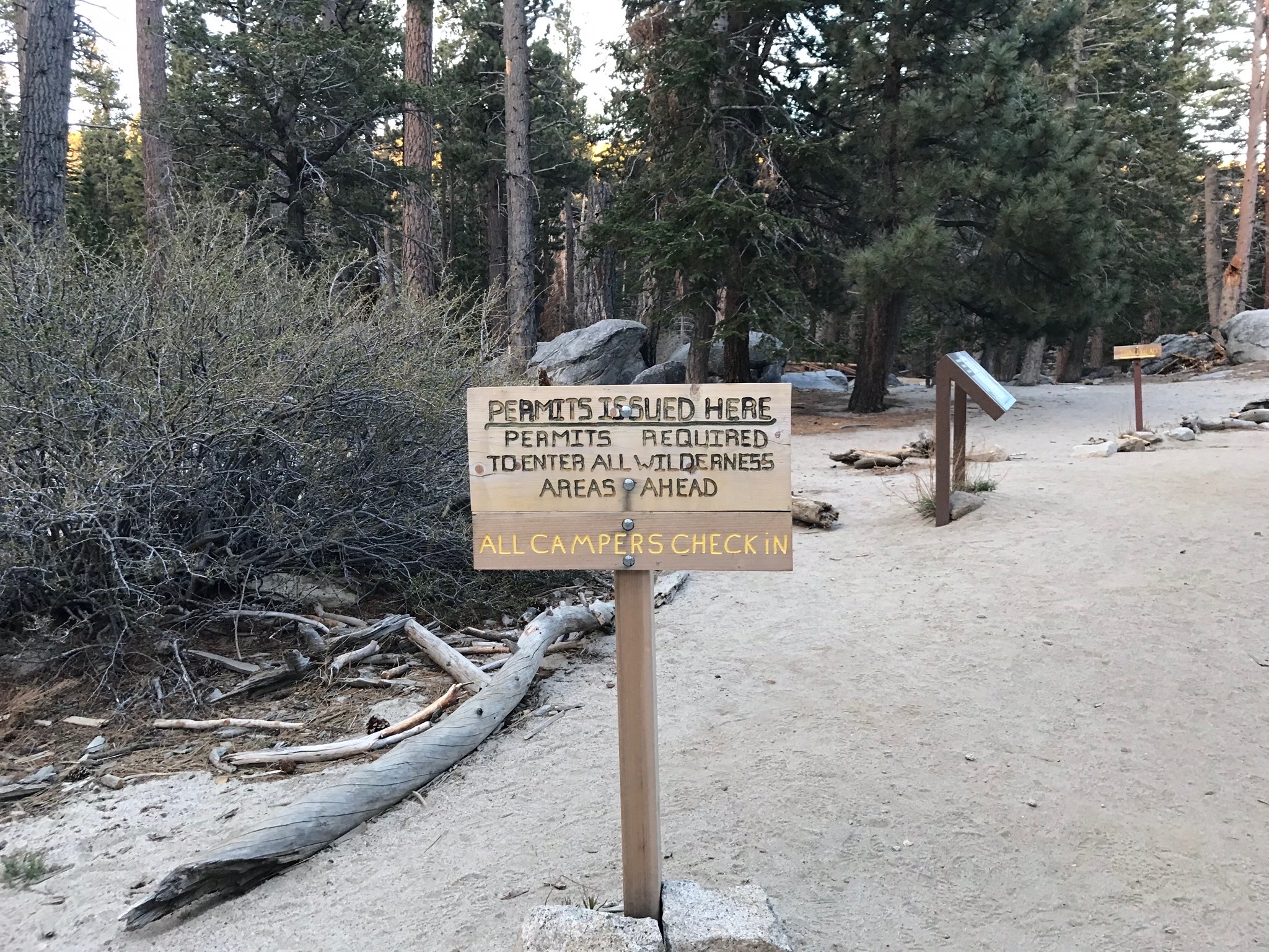
Lastly, when you do get to the Ranger Station at Long Valley, make sure you get a self-issued permit to traverse the San Jacinto Wilderness.
After all the preparation and planning is done, you are finally ready to begin the adventure.
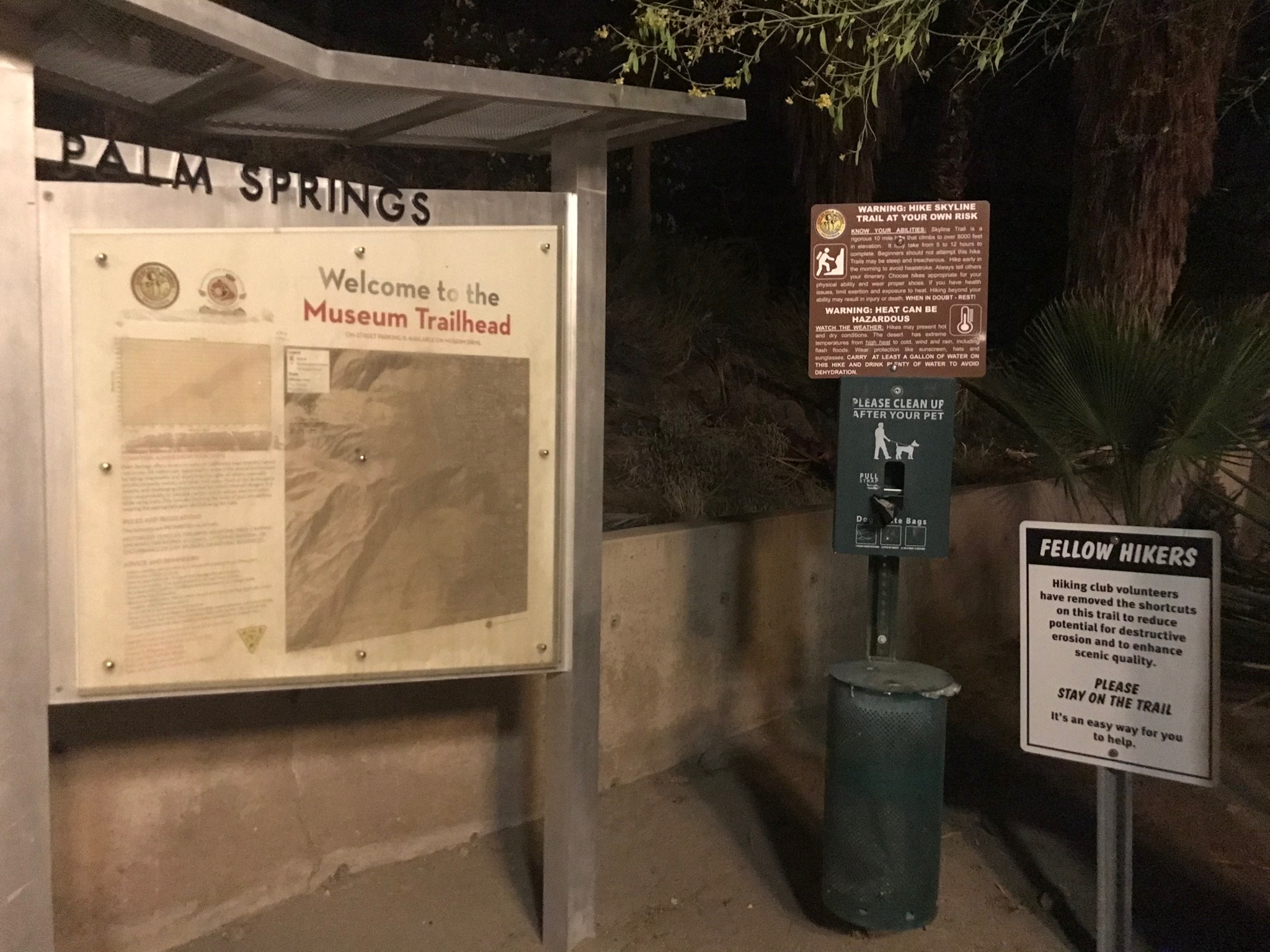
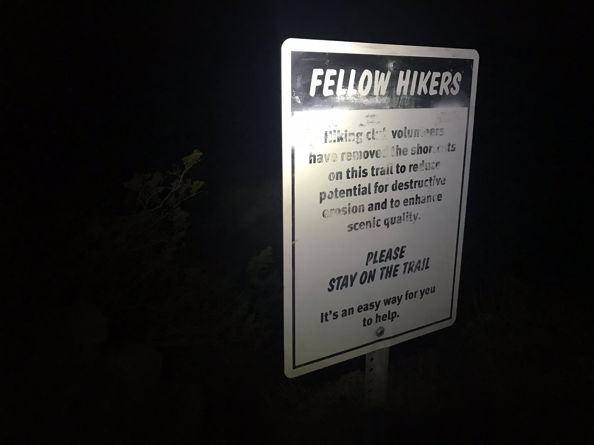
The Skyline Trailhead begins at the northwest corner of the museum parking lot. Several signs at the trailhead warn hikers of the extreme heat and the importance of staying on the trail.

The trail gradually winds up the hillside through a series of switchbacks. There are several trail offshoots unfortunately created by people going off trail which can be misleading. Definitely bring a map or GPS device to keep track of your location and stay on the trail. These offshoots only occur within the first couple of miles.
Now let’s discuss the nocturnal life on the trail. You must watch where you step on this trail as there are many scorpions, rattlesnakes and large spiders active at night. There are also bats and large moths attracted to the headlamps. During the first 5-6 miles, expect to keep your eyes peeled to avoid disturbing the wildlife (and avoid having the wildlife disturb you!).
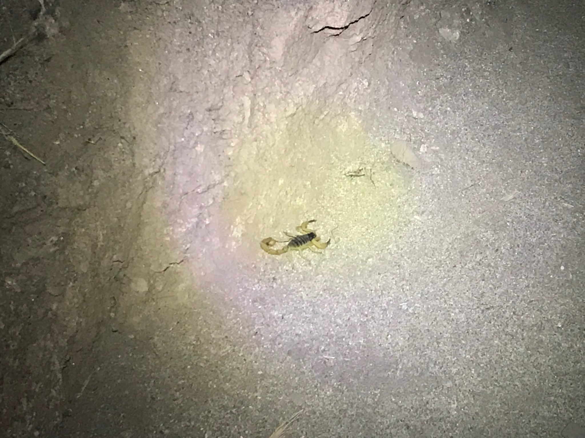
Scorpion on the trail!
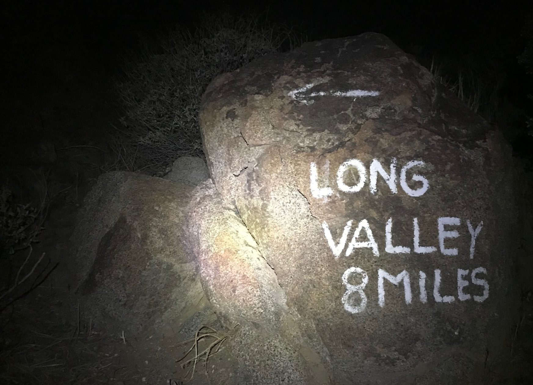
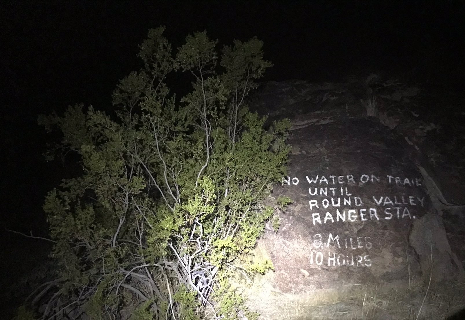
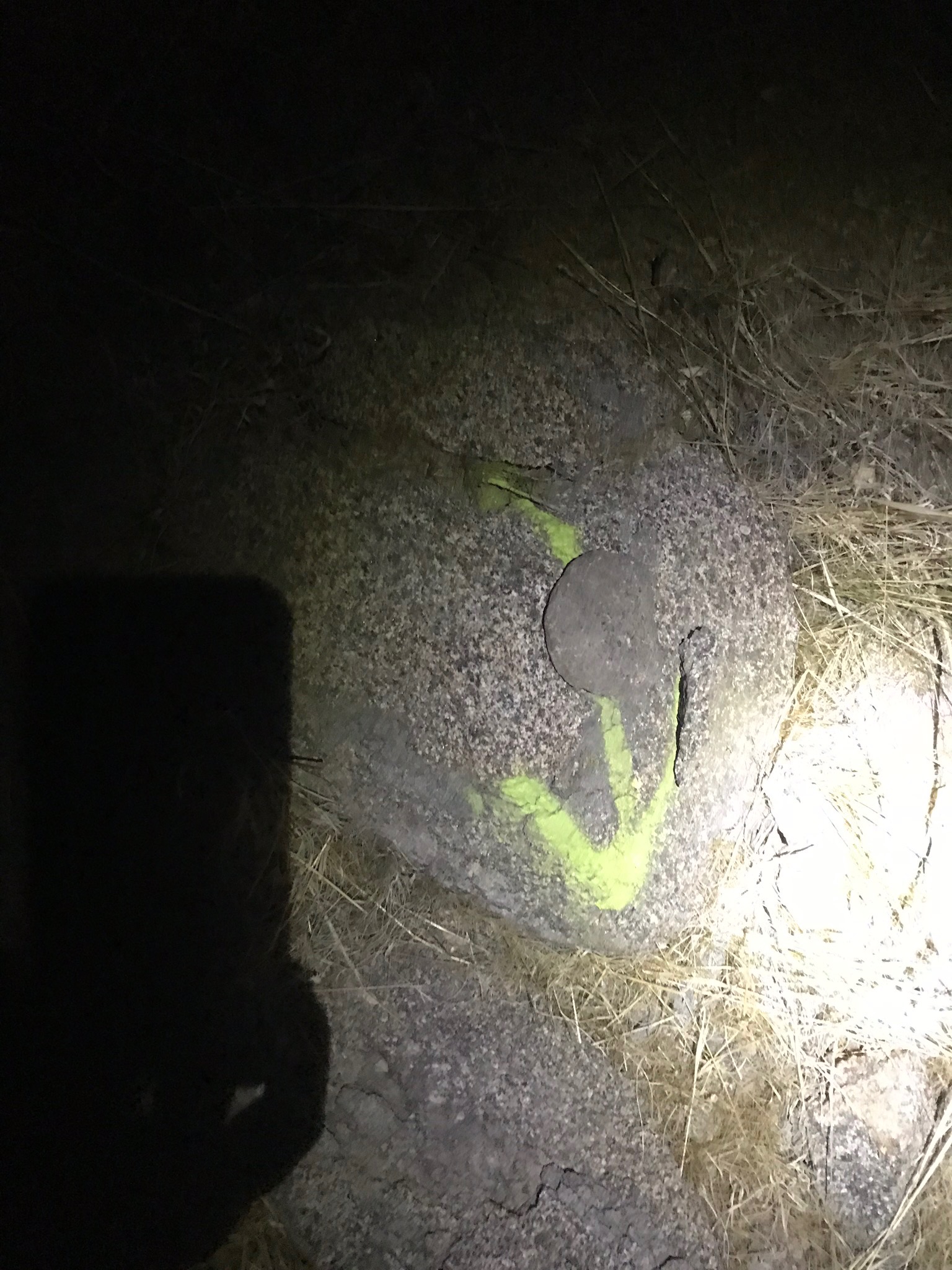
After a couple miles of desert trekking, you will approach these signs painted on the rocks. Long Valley is the location of the tram and ranger station (~8 miles). Round Valley is 2 miles past Long Valley and has a campground and water.
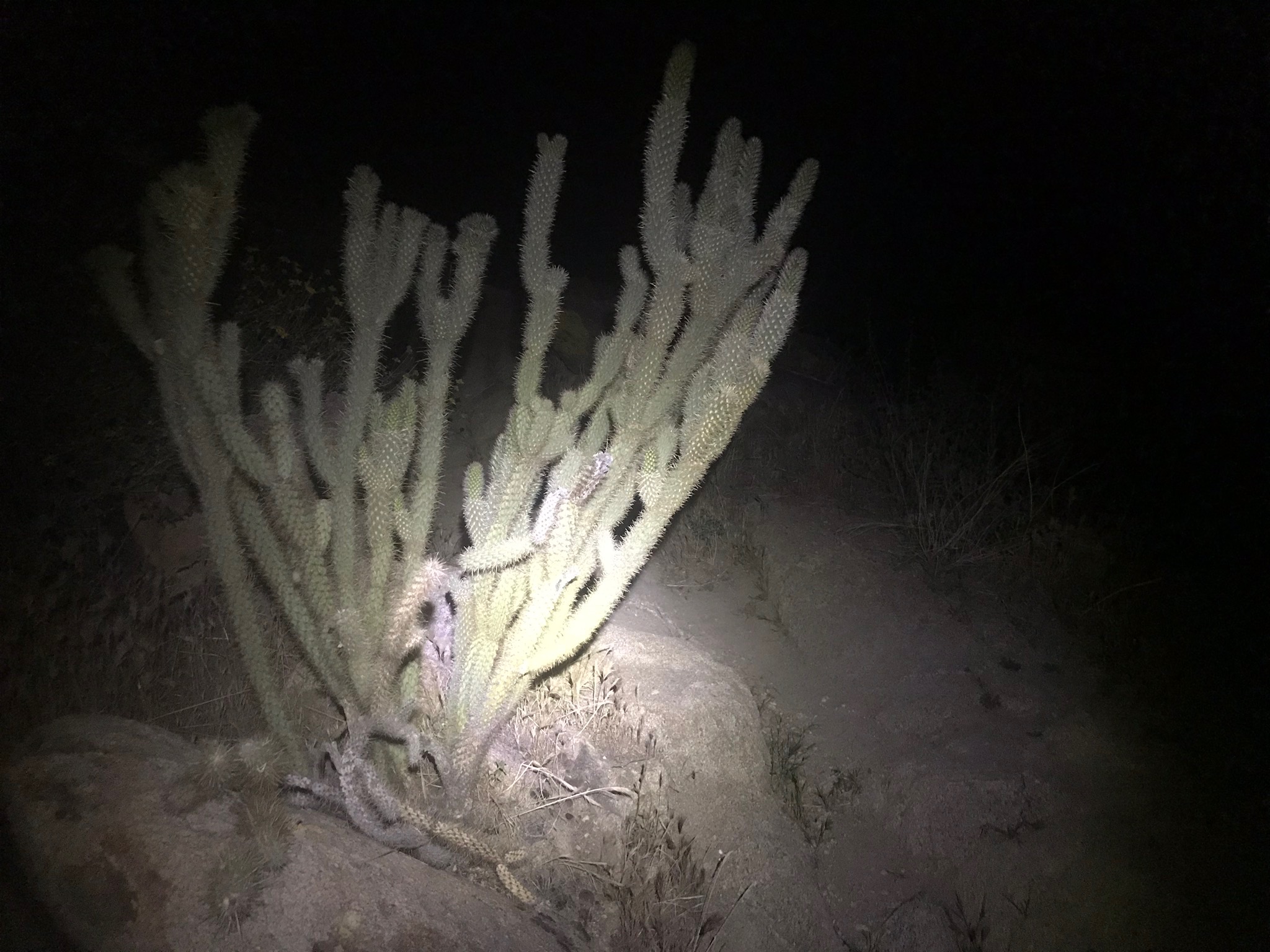
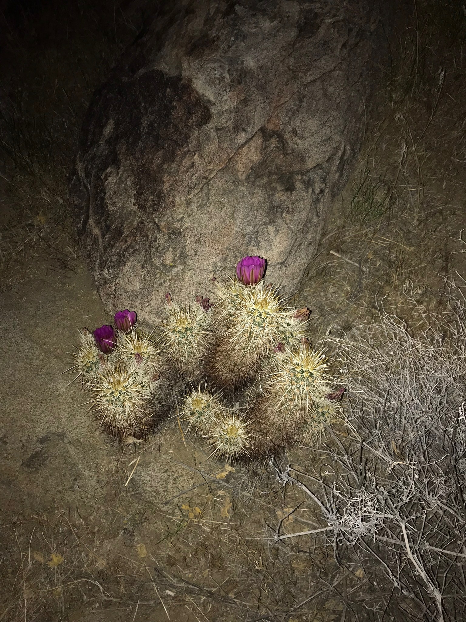
Despite the dark, you can still appreciate the variety of cacti with your headlamp.
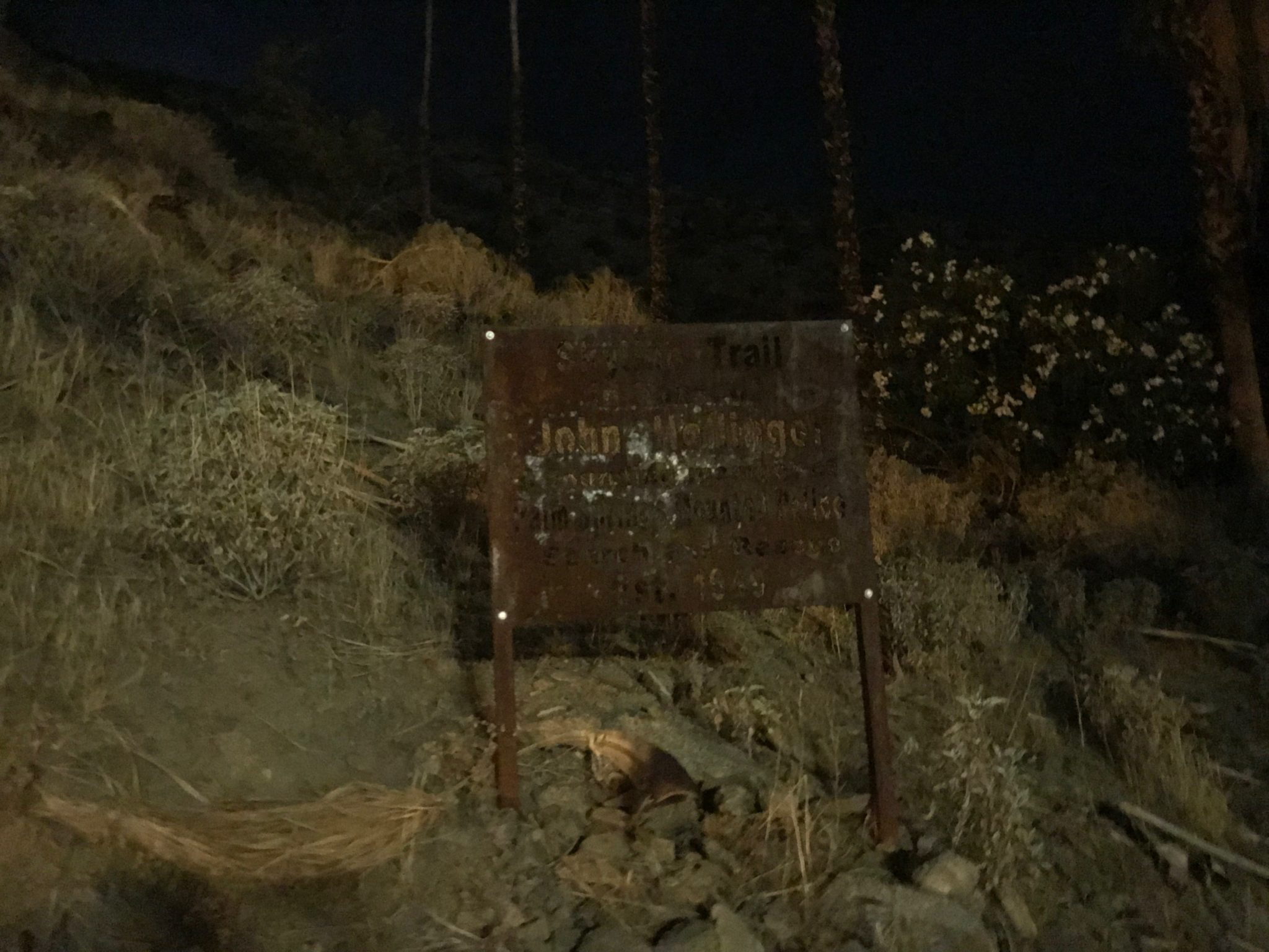
Throughout the trail, you can find mile markers and arrows on the rocks pointing you in the right direction. As long as you continue to use your trusty headlamp, the trail is easy to follow.
There are 2 emergency boxes along the trail. These were placed by the Palm Springs Police Department at 2,500 and 5,000 feet of elevation. The boxes contain emergency supplies for hikers and should only be used if absolutely necessary.
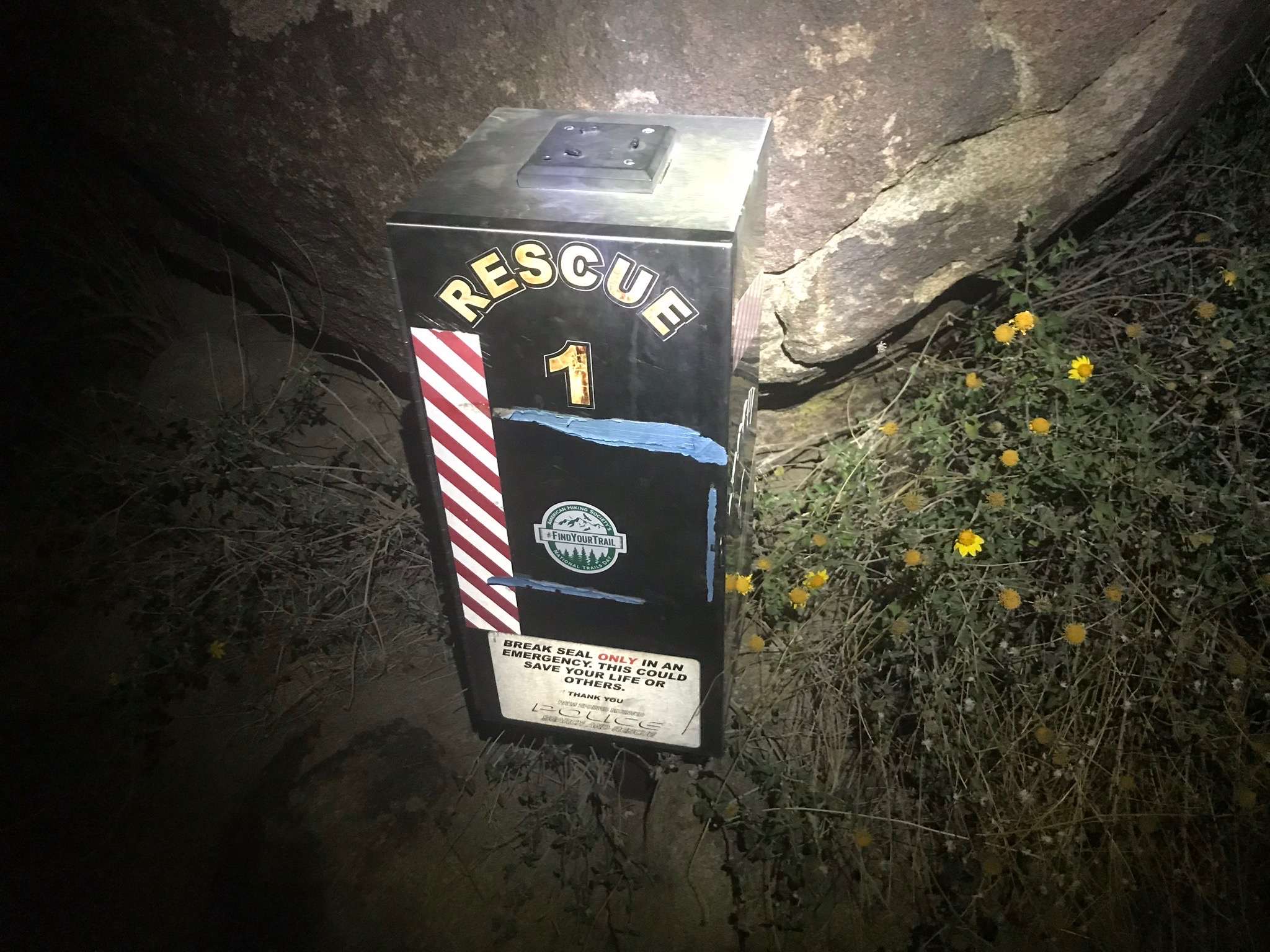
Box at 2,500 feet
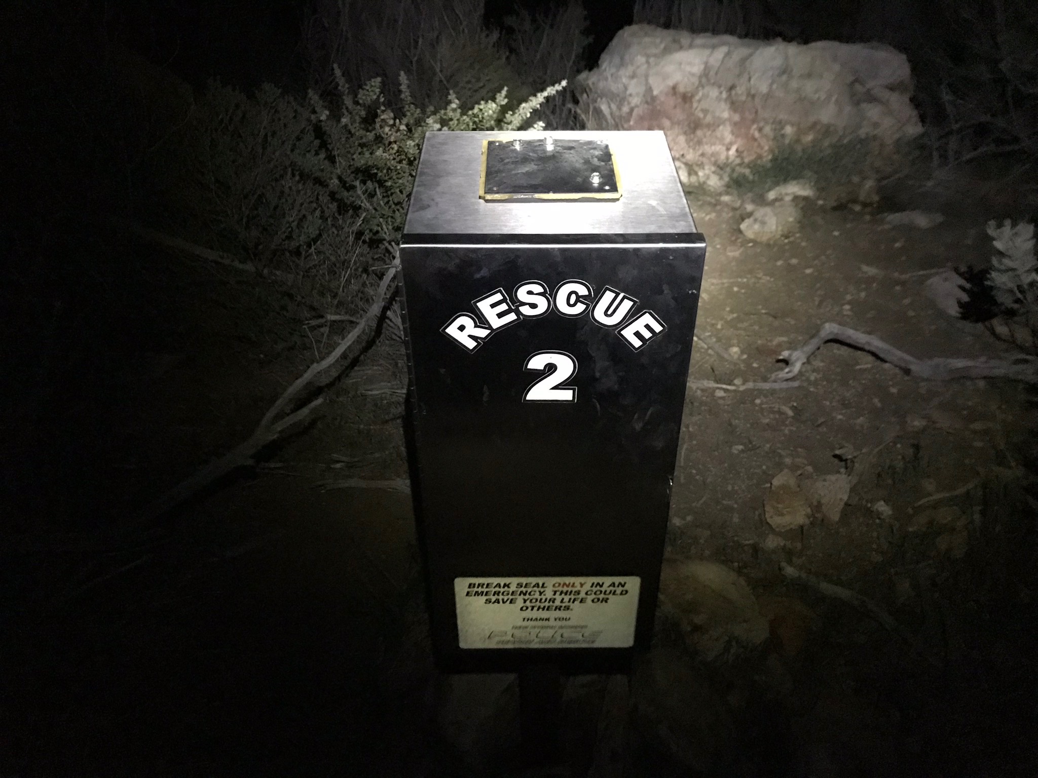
Box at 5,000 feet
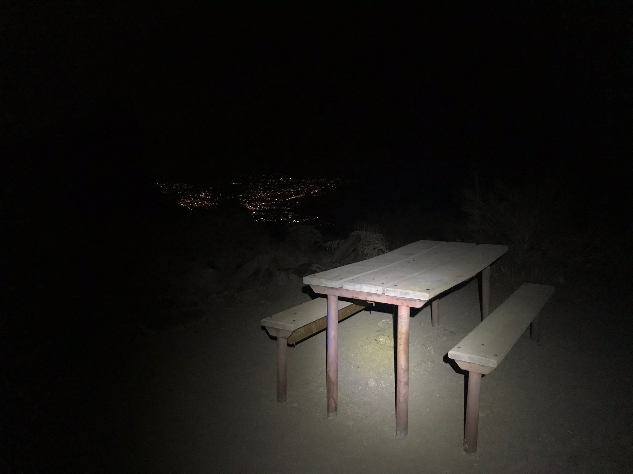
As you continue to climb higher, you can appreciate the expanse of the Coachella Valley. Joshua Tree National Park is also off in the distance. 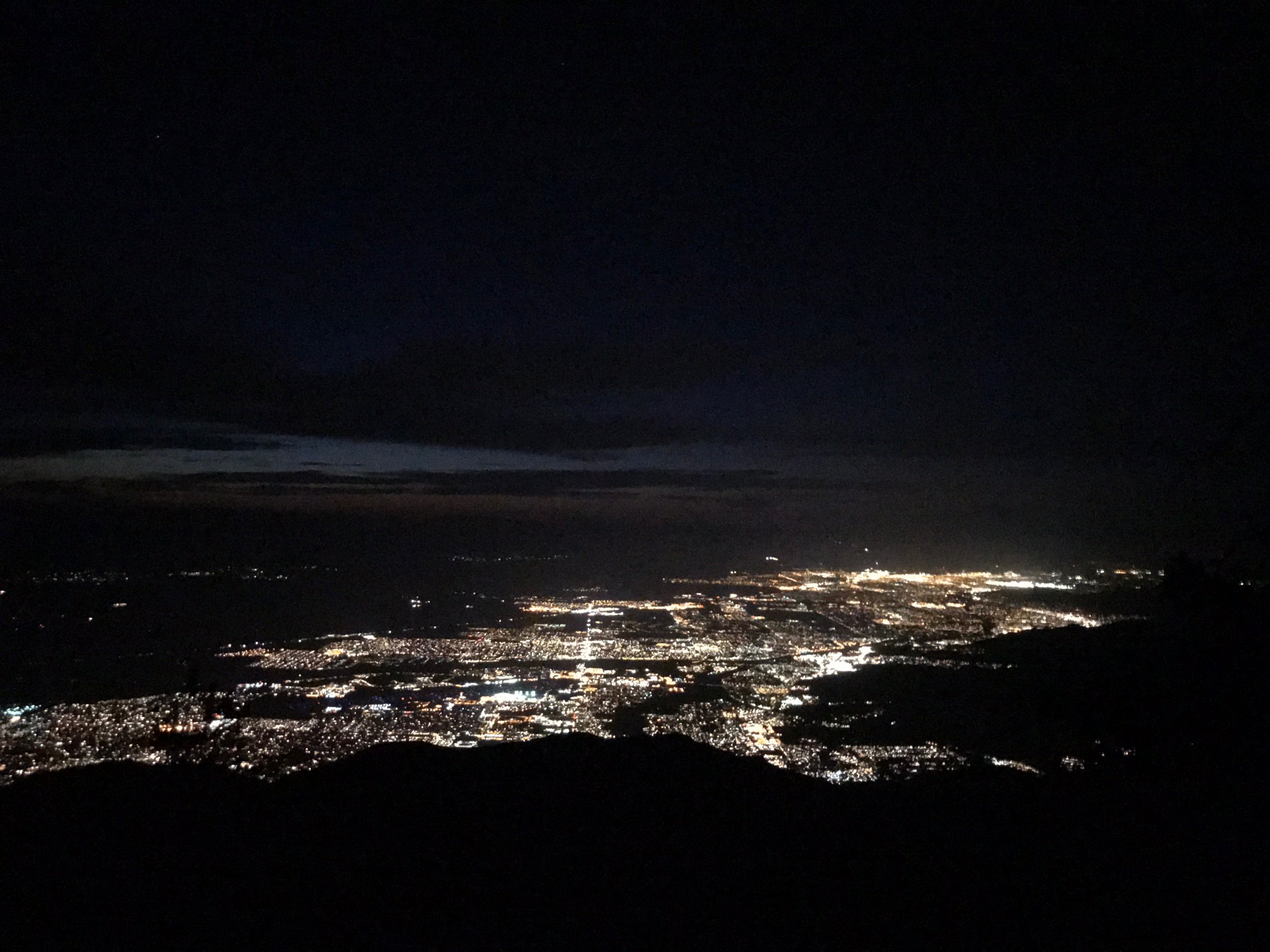
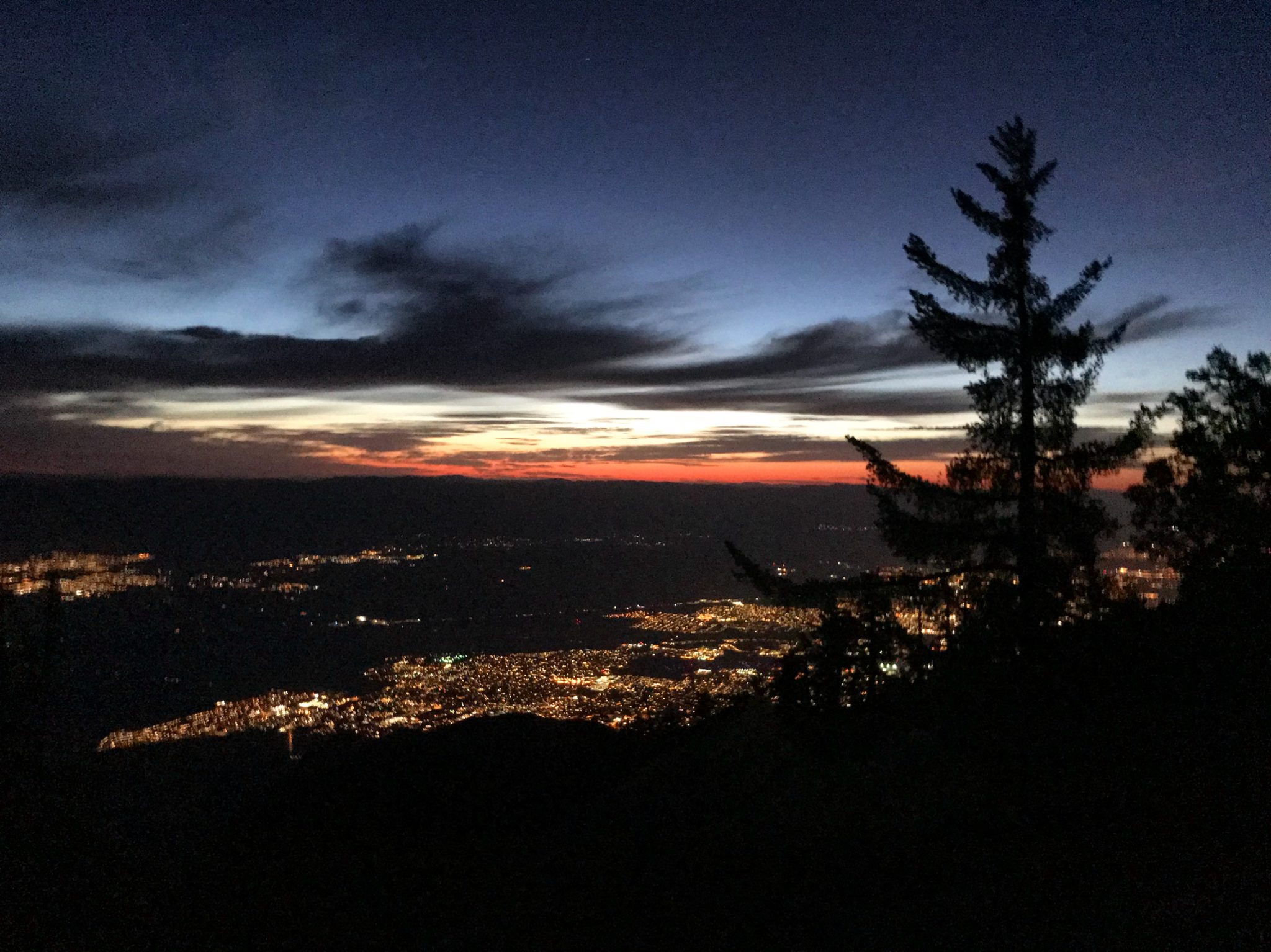
Sunrise over the Coachella Valley
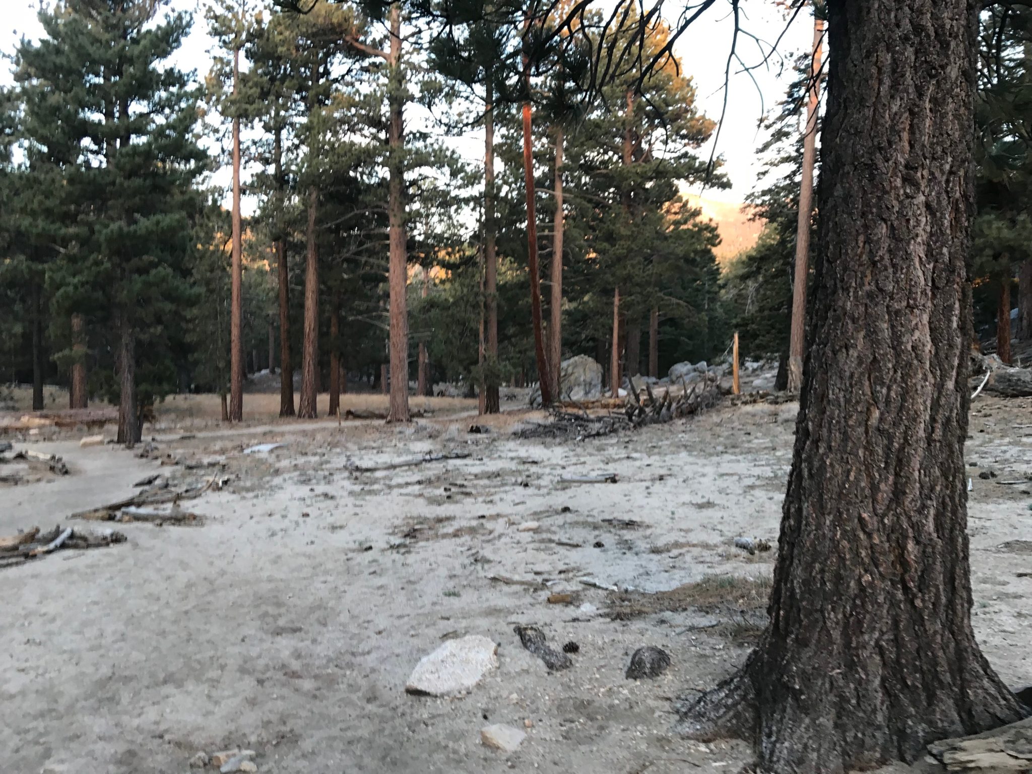
Finally, after 8 miles of climbing, you will reach Long Valley at 8,400 feet. There are no longer cacti or scorpions along the trail, but instead tall pine trees and deer. There are few hikes where you can witness such a dramatic change in scenery in just 8 miles.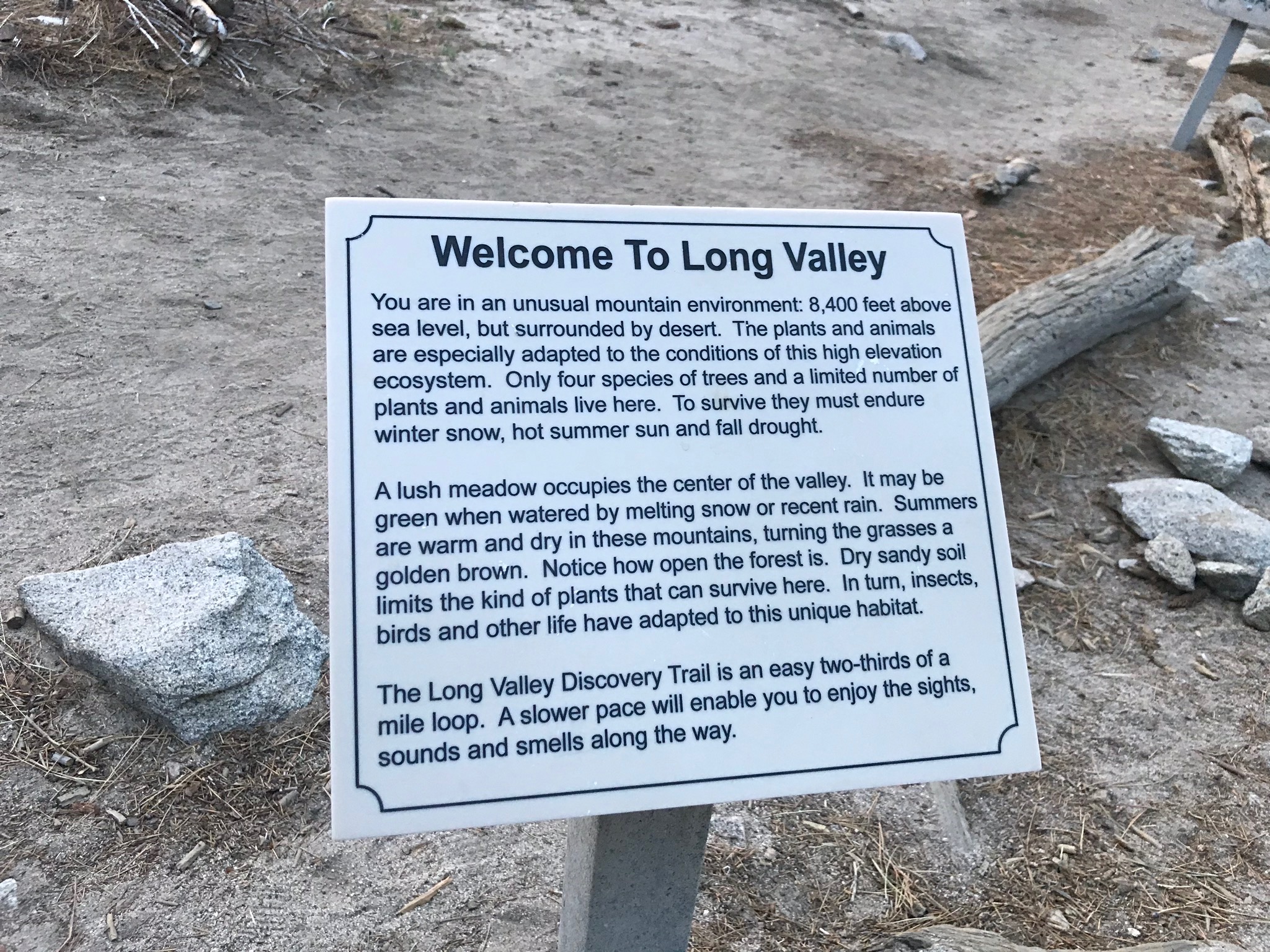
Stay to the right where the trail forks to head toward the tram station and ranger station.
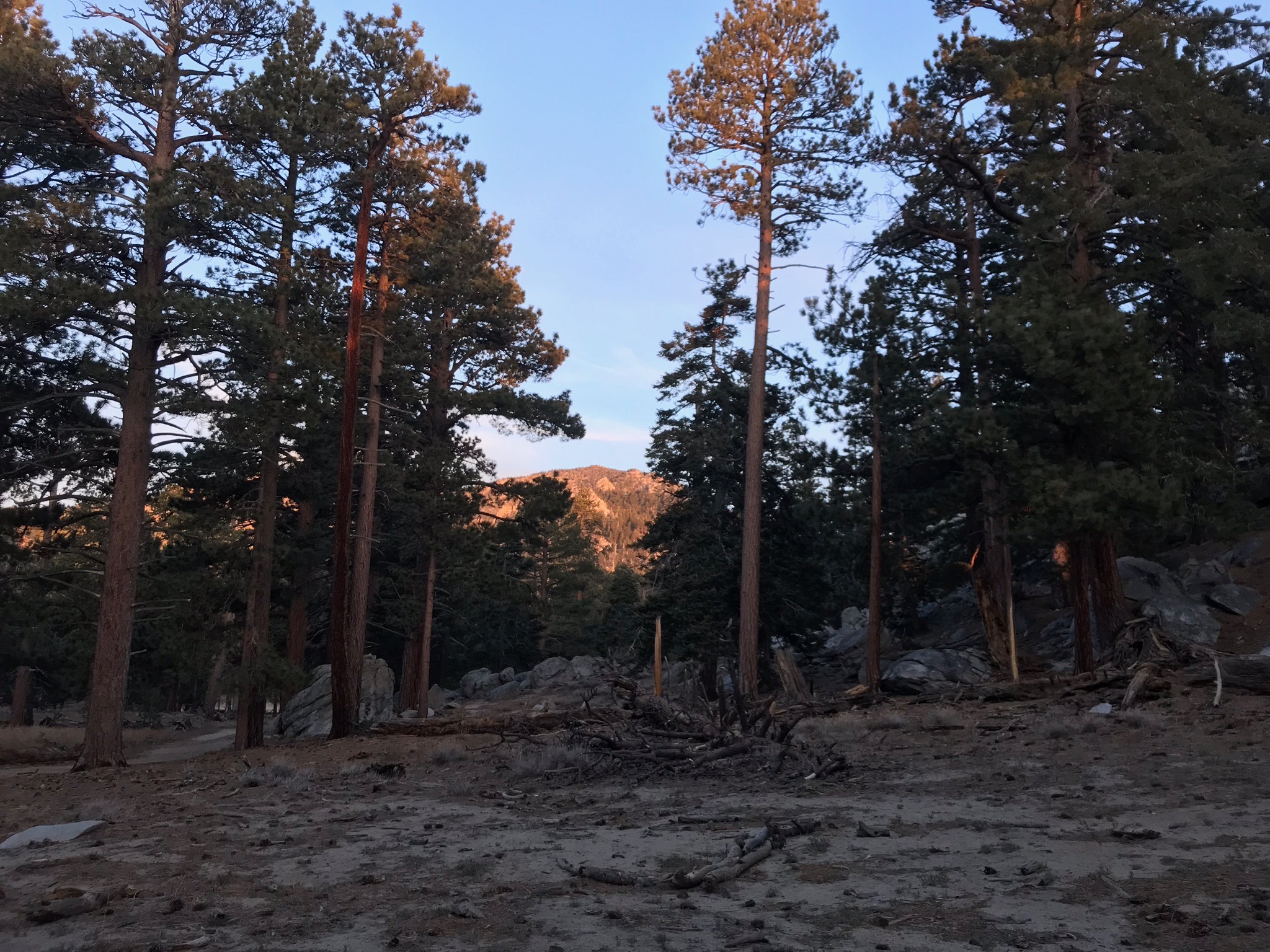
Long Valley
The ranger station has 2 bathrooms and a self issue permit station. Fill out a permit and read any current notices about the trail.
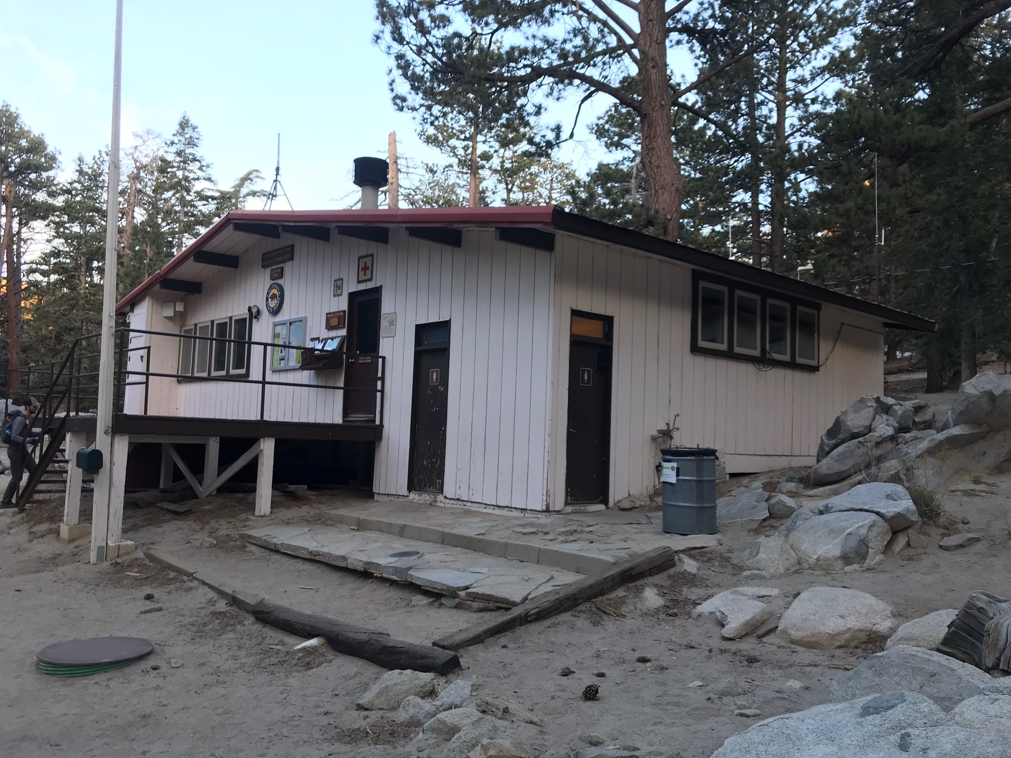
Long Valley Ranger Station
Follow the trail past the ranger station for 2 miles as it gradually climbs another 700 feet to Round Valley.
Round Valley has several campgrounds as well as a water faucet. The water has to be filtered before you drink it though. There are only 3.3 miles left to the summit!
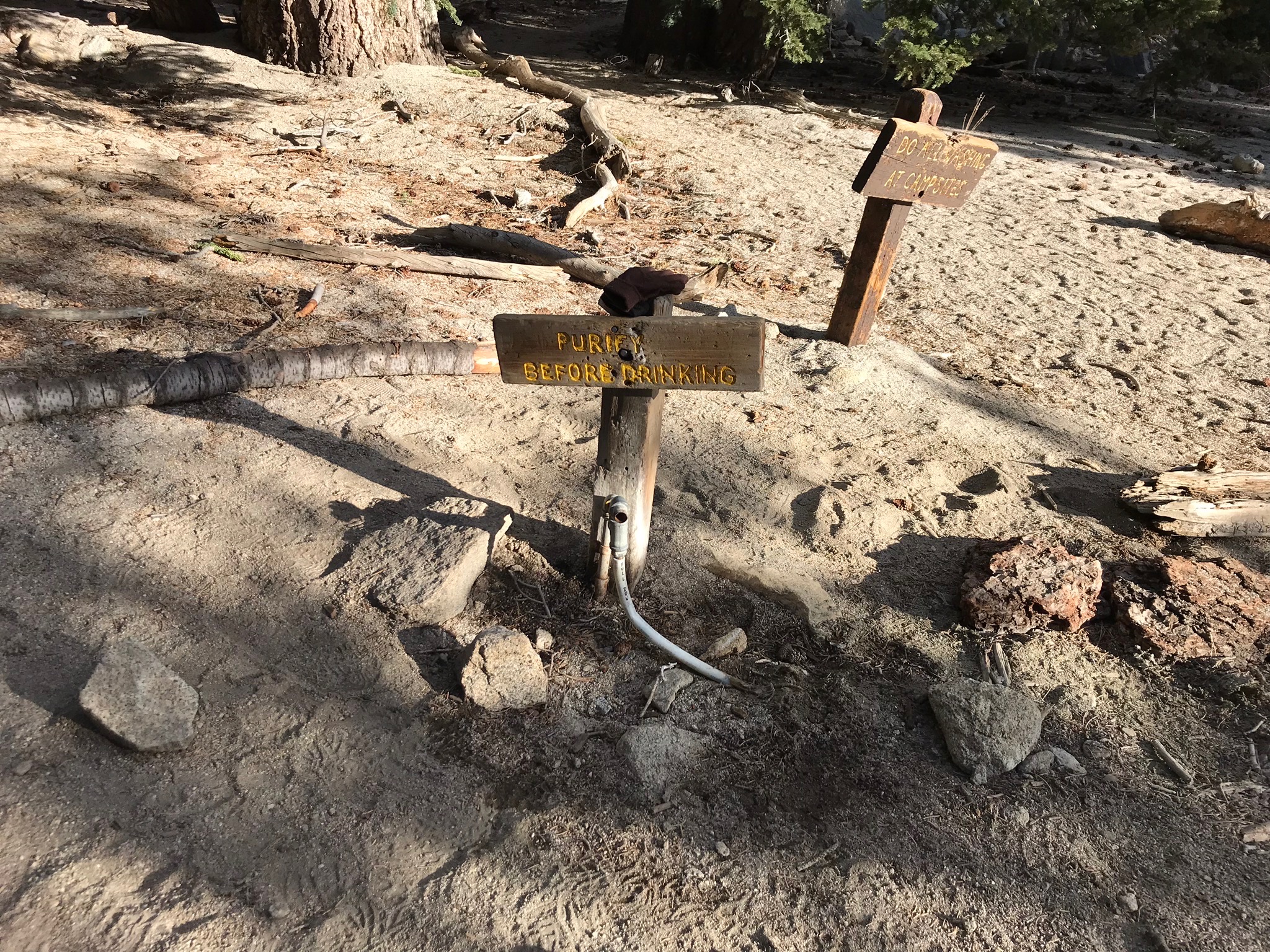
Water faucet
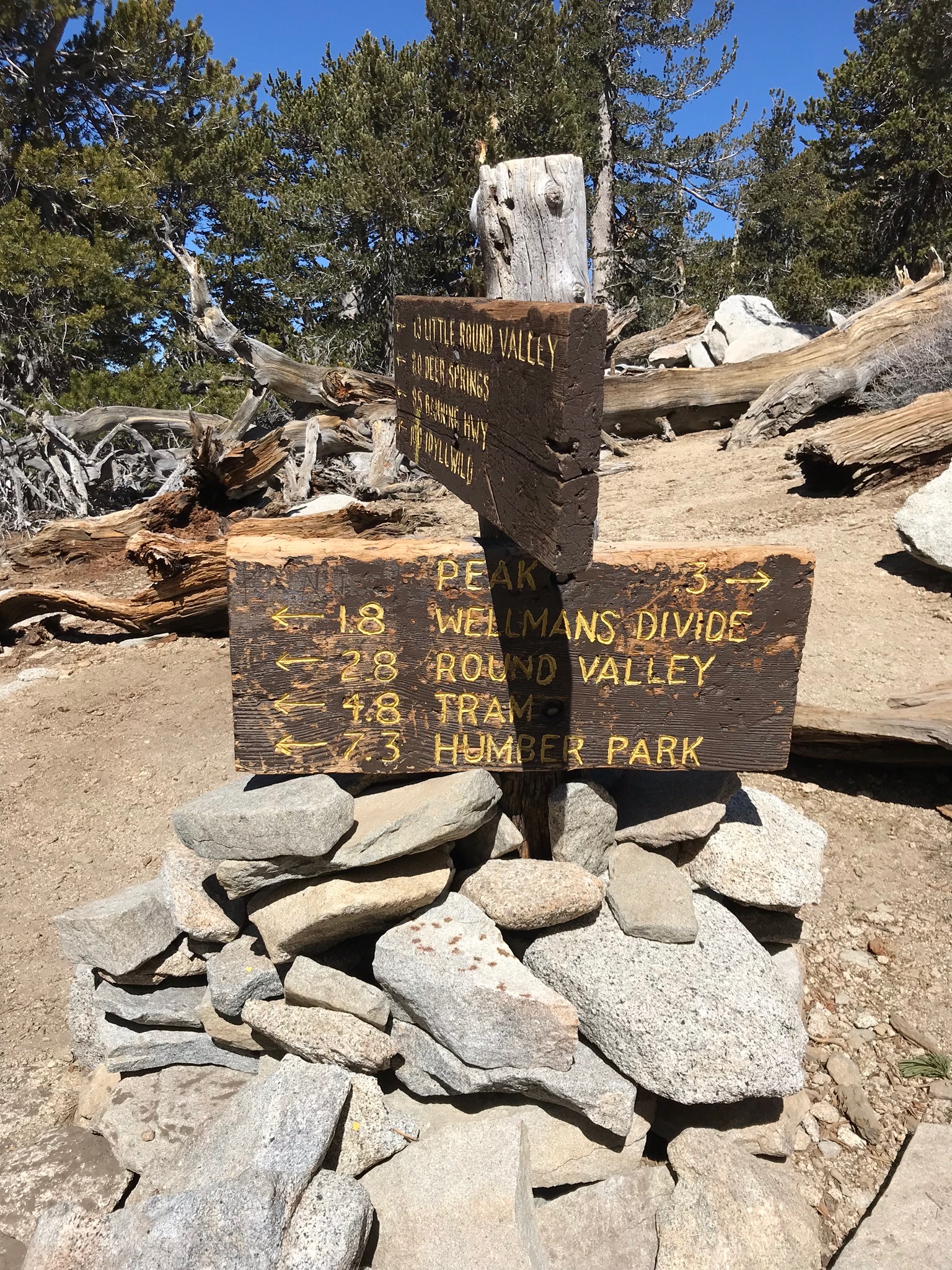
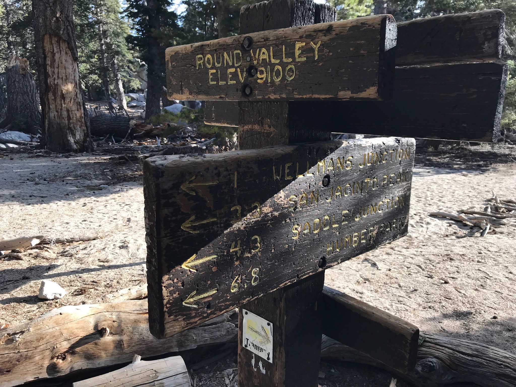
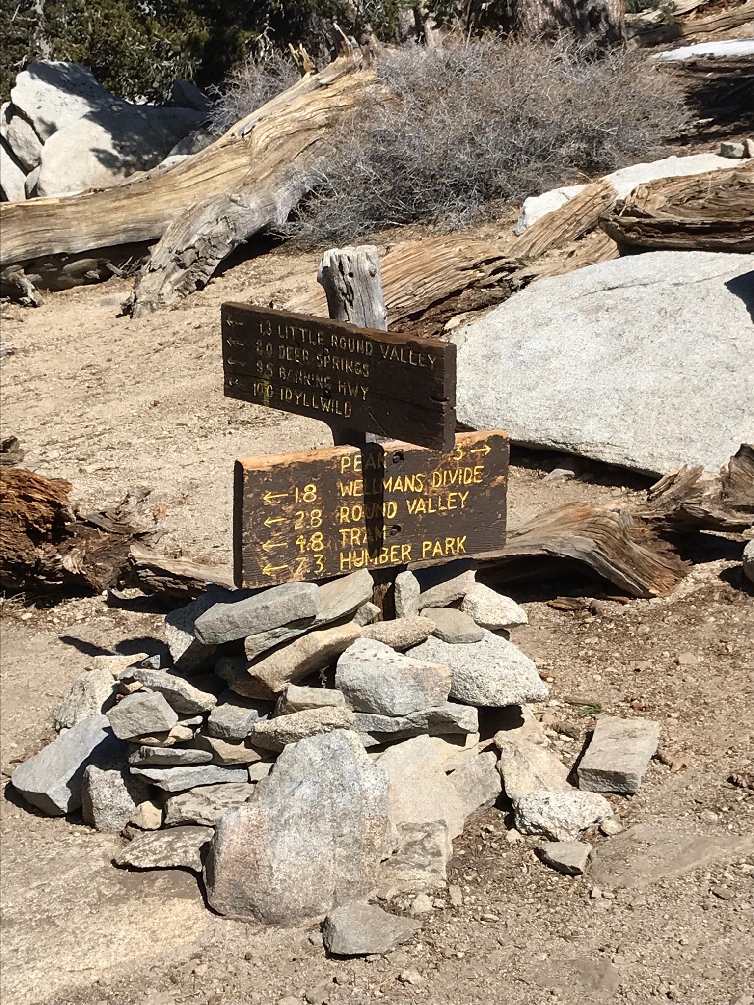
Wellman’s Divide is at 9,700 feet and offers views into the San Jacinto Wilderness. A complicated sign will point you in the direction toward the peak which is only 2.3 miles further.
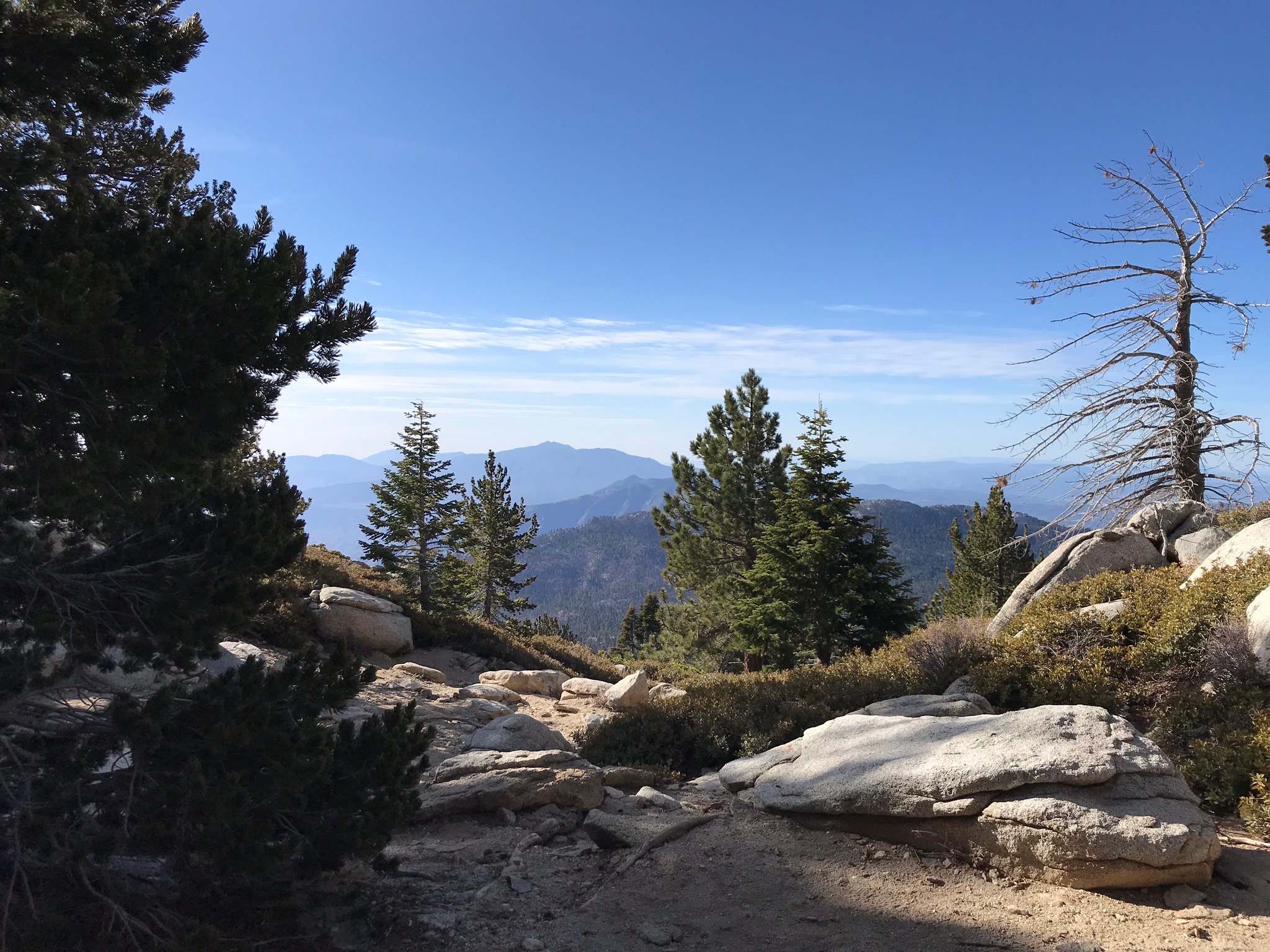
Wellman’s Divide
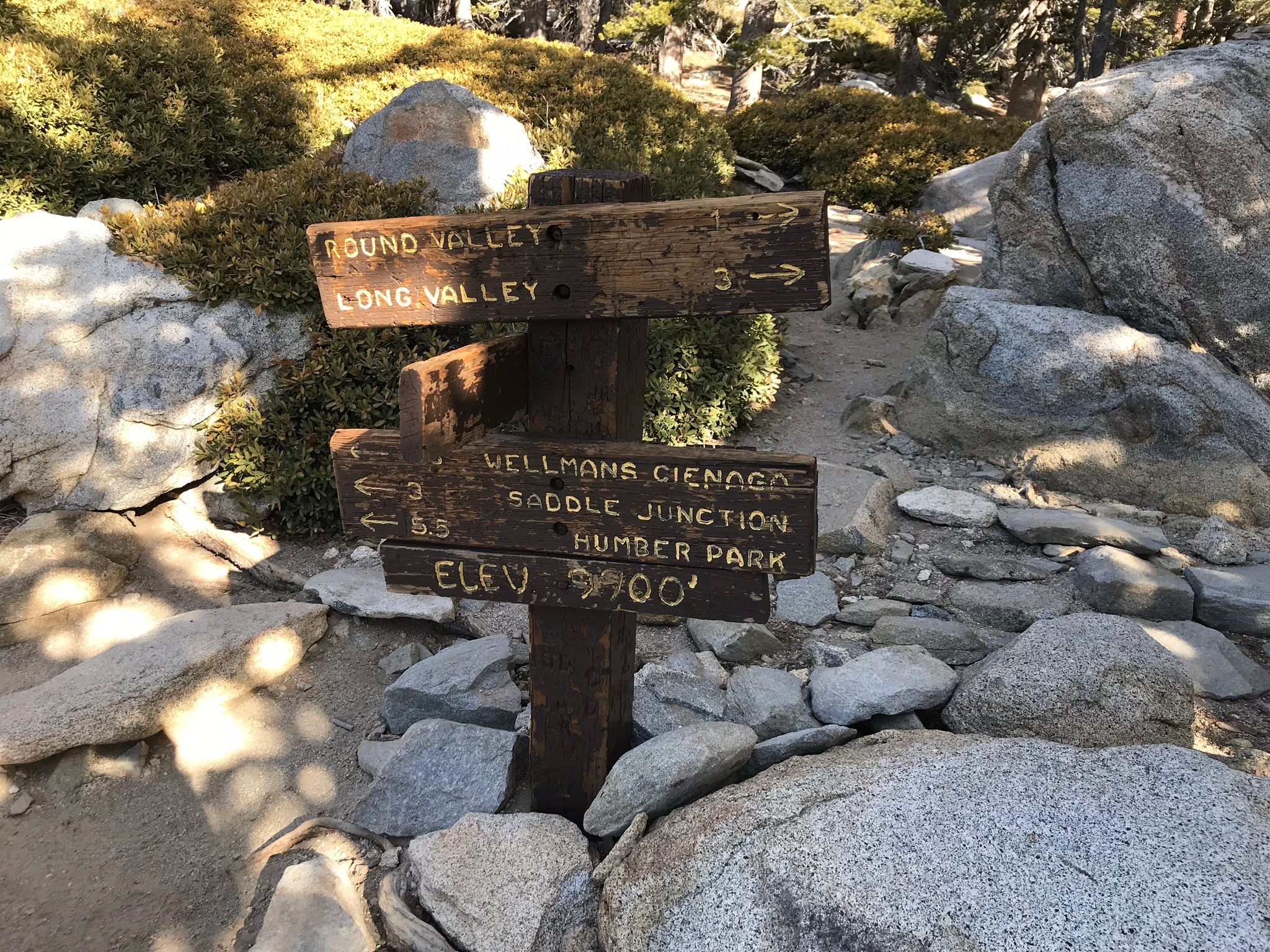
Wellman’s Divide sign
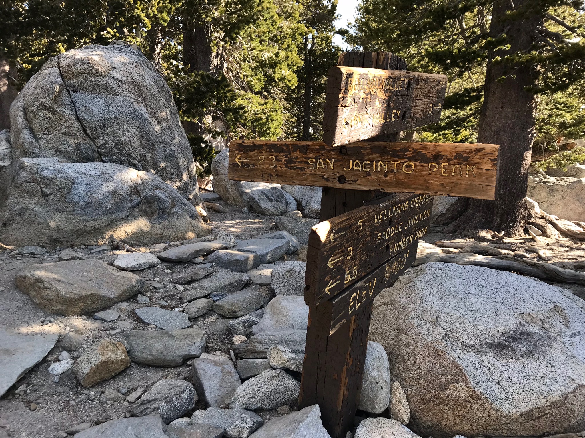
Follow the trail sign in the direction of San Jacinto Peak
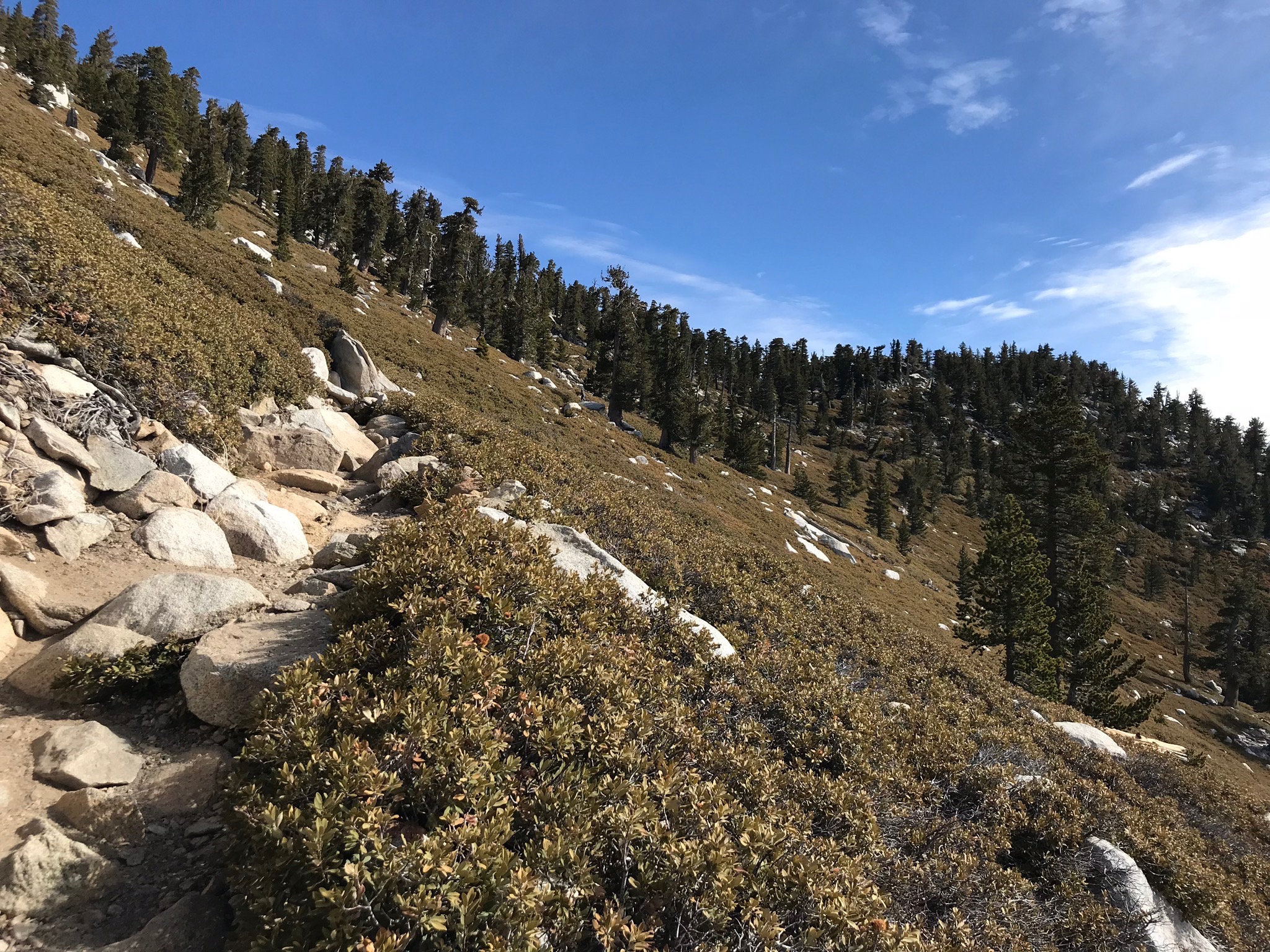
The trail slowly switchbacks up the slopes of Jean Peak and then Mount San Jacinto.
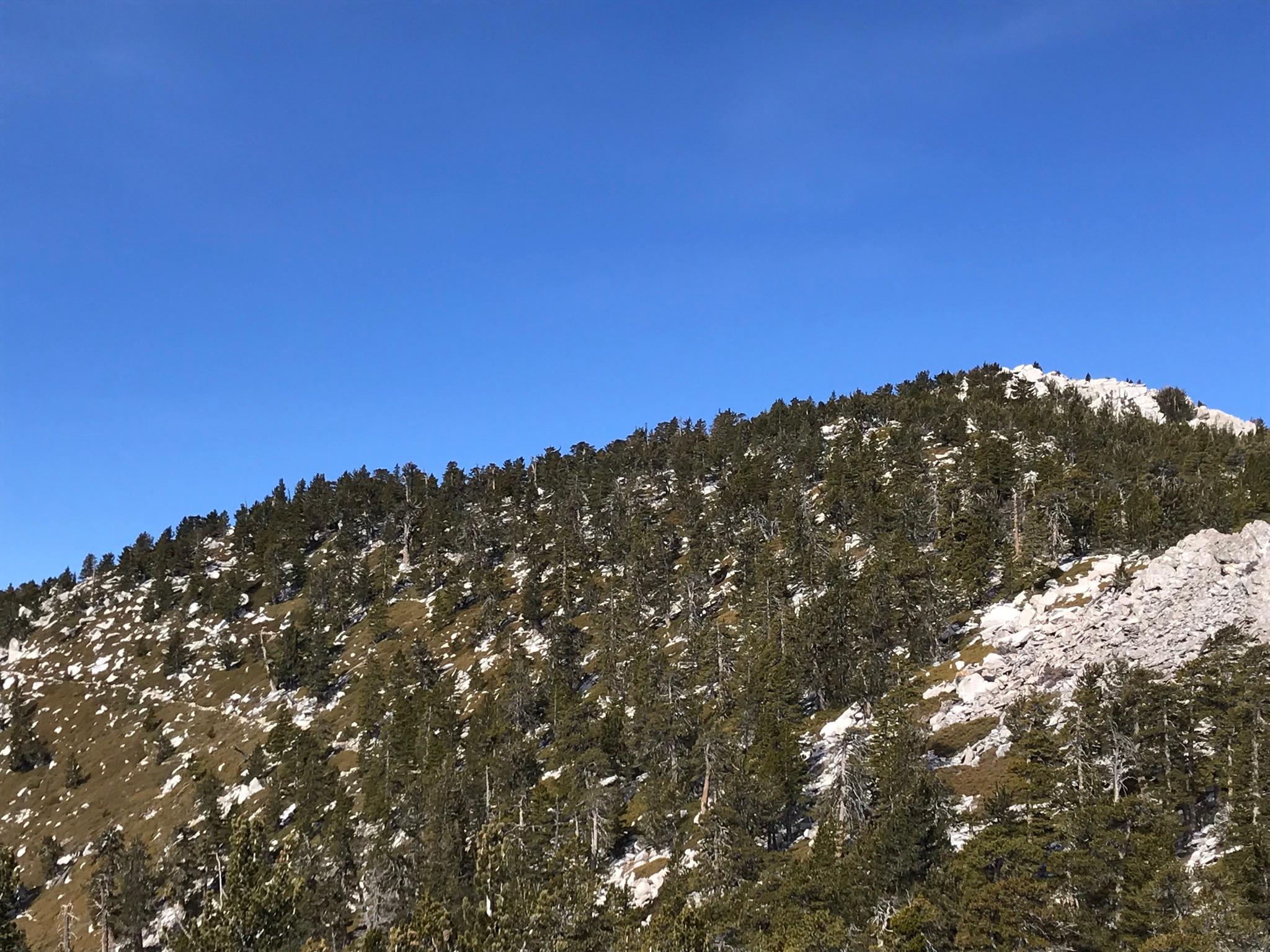
View of San Jacinto Summit from Miller Peak. The trail toward the peak is visible along the side of the mountain
Finally you have reached the last sign. You are minutes away from the peak.
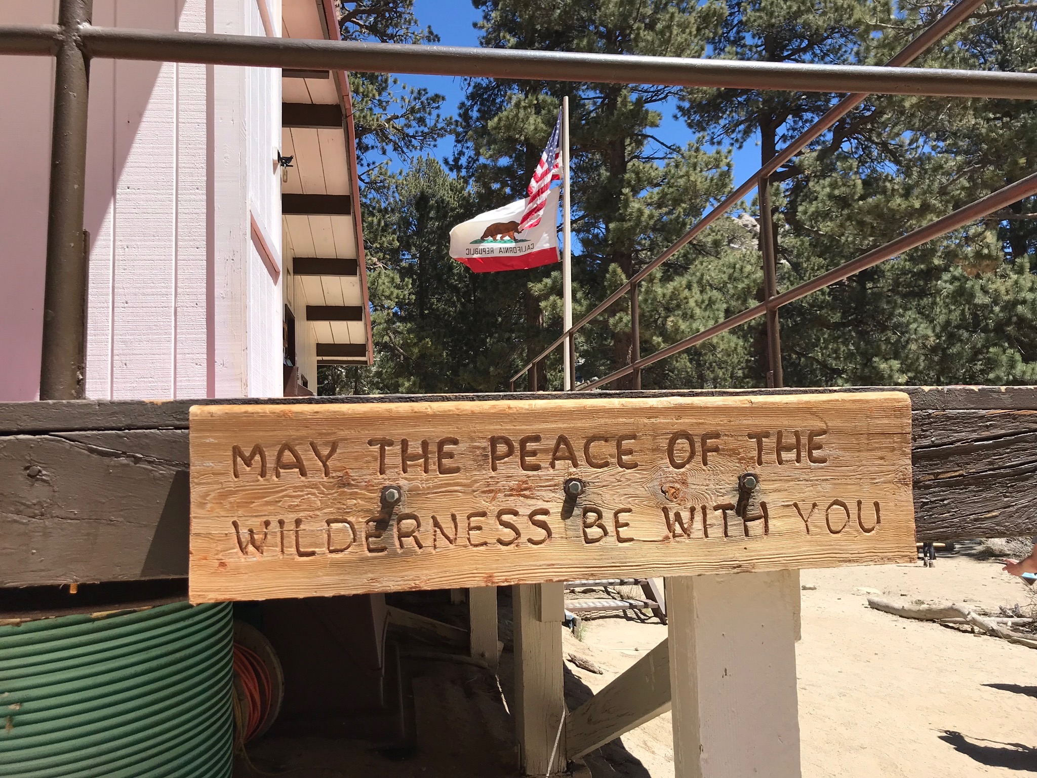
Slowly climb up the hill on your tired legs to the San Jacinto hut.
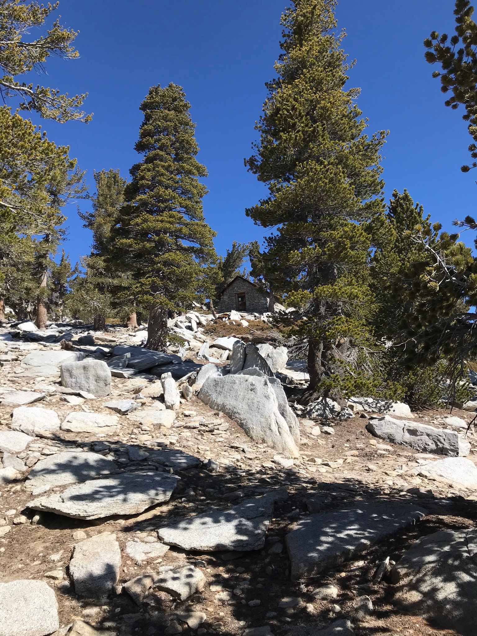
San Jacinto Hut
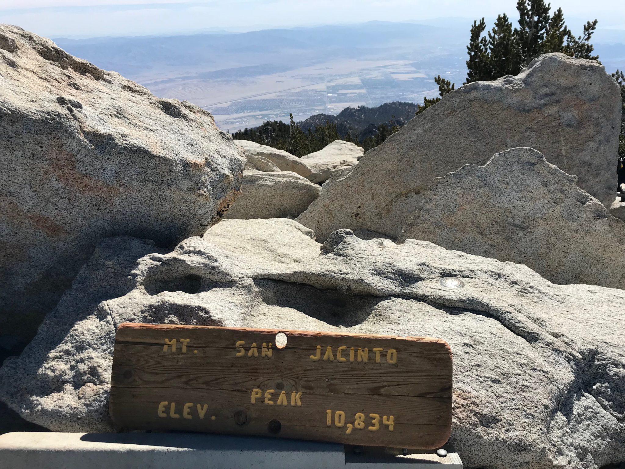
After some scrambling to the summit, you have reached the clouds! The peak of San Jacinto sits at 10,834 feet. The starting elevation was roughly 440 feet. In total, you will have climbed over 10,000 feet in just under 15 miles. Relish in your summit victory and enjoy.
Once you are done celebrating, slowly trek back down to the tram station (about 5 miles) and purchase your one-way ticket down. Enjoy the views of the mountain slopes and surrounding desert on the tram ride down.
Tags: C2C, cactus to clouds, Hiking, mount san jacinto state park, palm springs, Skyline Trail