Whether you are looking for a quick escape from the busy city or looking for an exuberant outdoor workout, this South Mountain hiking loop from Beverly Canyon to Javelina Canyon is a great escape.
From the parking lot, you will be able to see the two trailheads across from each other. If you’re looking at the mountain, the trailhead on the right is Javelina Canyon and on the left is Beverly Canyon. Both of these paths connect with Ridgeline Trail, so it’s up to you which way you want to start. For this article I started out at Beverly Canyon and worked my way around.
Beverly Canyon is easy and relatively flat. It has a few ups and downs but overall, it’s a smooth hike — which makes it a perfect warm up. This path travels alongside the utility poles on South Mountain and at times can look deceiving. The route will look like it leads up steep sections where the telegraph poles are, but as you approach closer you’ll see the trail actually goes around these steep sections. (Although, at other times the trail will go directly under the poles but these are not as steep — so just keep your wits about you and your eyes peeled for established trails!).

At approximately, 1.2 miles, you will come across a trail marker indicating an intersection. The information facing you on the marker will be for Beverly Canyon, but if you look at the sign from the other direction it will show you that this is also the point where Ridgeline Trail connects to Beverly Canyon.

As you look towards your right you will see the inclined trail of Ridgeline. At this point you can continue forward on Beverly Canyon (as it will continue on for another .3 of a mile until it ends) or you can turn right and go up Ridgeline.

Just as the name describes, Ridgeline will take you up and along a portion of the top of South Mountain. The toughest challenge of Ridgeline, is right here in this little section of getting yourself up to the top. At first glance up you may feel like the trail isn’t well marked and it may be a little hard to detect exactly where the trail lies. But as you begin your journey up you will be able to make out the narrow dirt path of where to go. Once at the top, catch your breath and take in the stunning view!
As you look out you’ll be encompassed with the 360 degree landscape of the city to one side and the rolling mountain tops to your other side. You’re right along the border of these two parallel worlds. The hustle and bustle of the modern city on one side and then the dreamy escape into the wild of the desert on the other side.


Continue on Ridgeline for another .8 of a mile. As the name would have you believe, this trail has multiple ups and downs as it follows along the top of the mountain. The path is wide and clear making this short hike easy to navigate. It’s a peaceful feeling walking along the natural ridge of the mountain, taking in the strong mountain breeze that you can only experience while being exposed up at this elevation.
Once at the end of Ridgeline you will see another trail marker indicating that you have now reached Javelina Canyon. This trail insects with Ridgeline, so you will see that you can turn either way onto Javelina Canyon. To take the way back towards the parking lot you will turn right onto the trail.
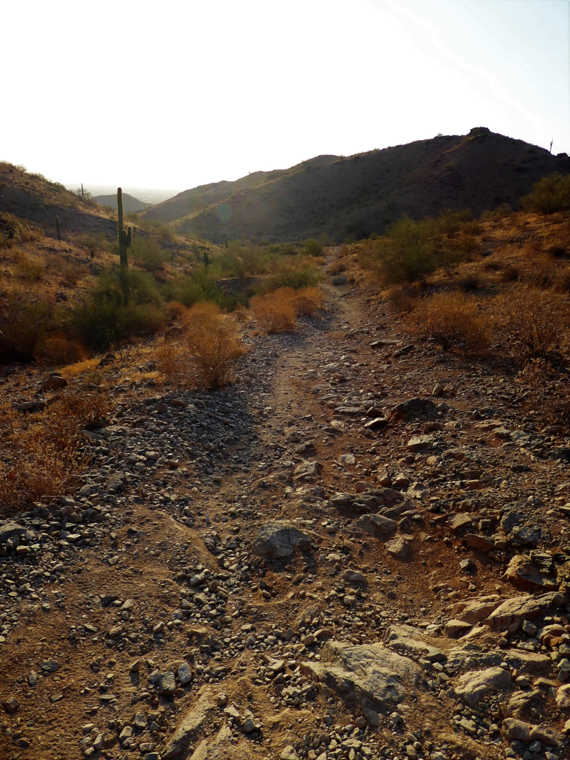
Javelina Canyon gently glides down from the mountain and like a snake, slithers around the curves of the landscape.


While on this trail, you won’t be able to see the city skyline, which makes it feel a million miles away from the built-up sprawl of Phoenix. The bulk of this trail is in a pocket of the mountain, meaning that you are walking down in between the cliffs of the mountain. Besides the occasional mountain bikers, this trail feels secluded and you’re surrounded by the wide lush desert landscape with not much in the way of human company. It will continue like this for around 1.8 mile until you reach the parking lot where began.
Tags: Arizona, AZ, Hiking, Phoenix, South Mountain, South Mountain Preserve Park, Trail Write-Ups