The Palo Alto Baylands and Shoreline at Mountain View are two side-by-side parks on the southwestern edge of the San Francisco Bay with an incredible variety of birds as well as breezy water views and Coast Range vistas. This mostly flat and accessible 4.5-mile loop visits birding hotspots in the parks at Adobe Creek, Charleston Slough, Coast Casey Forebay, and Shoreline Lake. Particularly in the fall and spring migration months, you can expect to see colorful ducks, herons, egrets, shorebirds, herons, pelicans, songbirds, and raptors among the millions of birds passing through annually along the Pacific Flyway.
Dogs
Leashed dogs are allowed in the Palo Alto Baylands, except where posted. Dogs are not allowed at Shoreline at Mountain View. If your dog is with you, one option is to skip the Shoreline part of this hike and continue northwest on the Adobe Creek Trail farther into the Palo Alto Baylands. The trail hugs the Palo Alto Flood Basin for over 2 miles one way, and you can even make a 5.6-mile counter-clockwise loop back to the trailhead.
Hours and Seasonality
Palo Alto Baylands Nature Preserve is open daily from 8:00 a.m. to sunset. Shoreline at Mountain View is open daily from 6:30 a.m. until 30 minutes after sundown. Parking is free at both parks and there is no entrance fee.
Fall and winter are great times to see birds migrating along the Pacific Flyway, a kind of bird interstate along the West Coast between Alaska to South America. During this time of year, you can expect to see colorful ducks like Northern Shovelers, Hooded Mergansers, and Green-Winged Teals, as well as shorebirds like the Black-Bellied Plover, Greater Yellowlegs, and Long-Billed Curlew. Of course, there are lots of year-round resident birds, too, such as herons, egrets, ducks, hawks, and songbirds.
Baylands and Shoreline Birding Loop
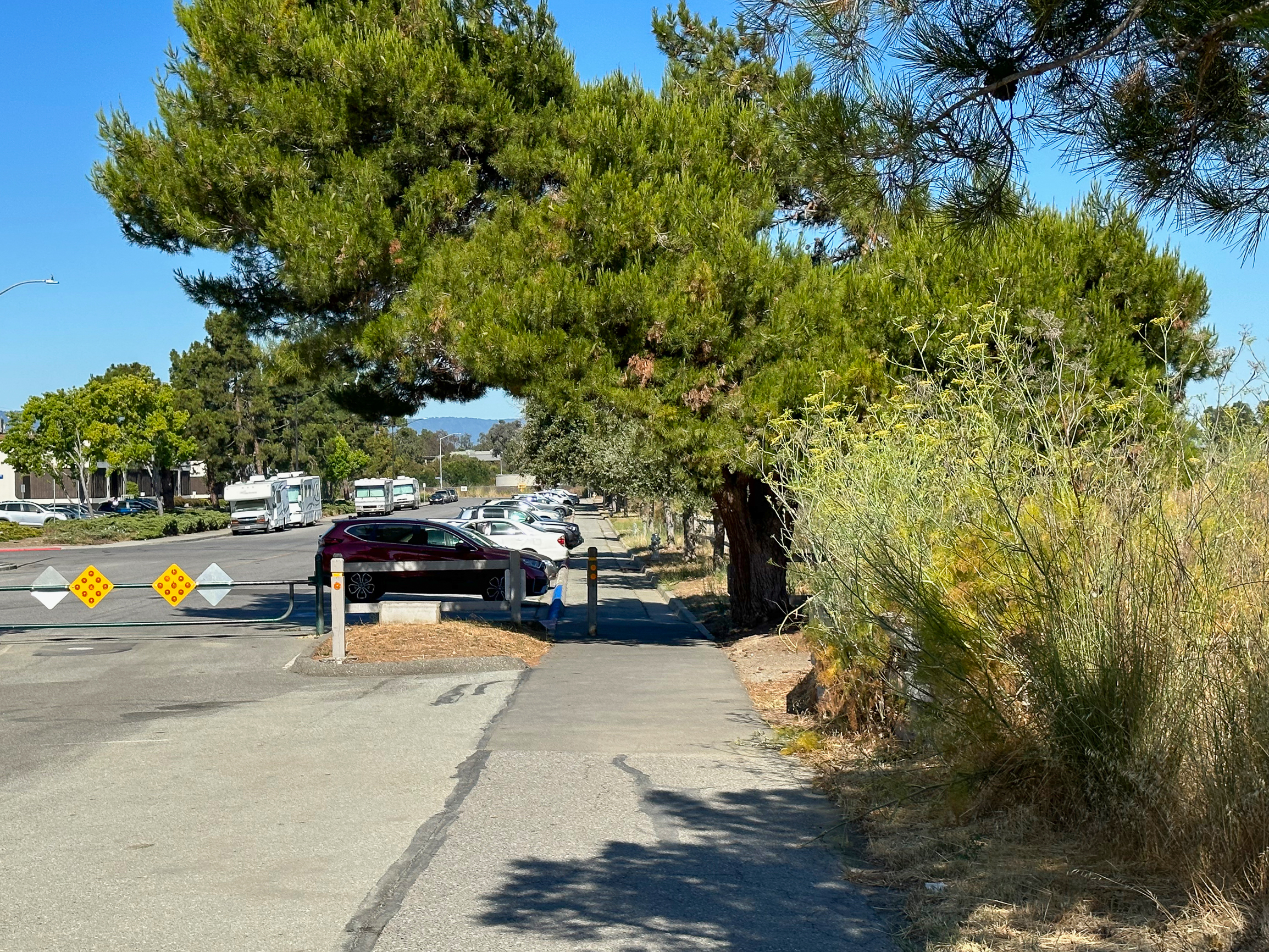
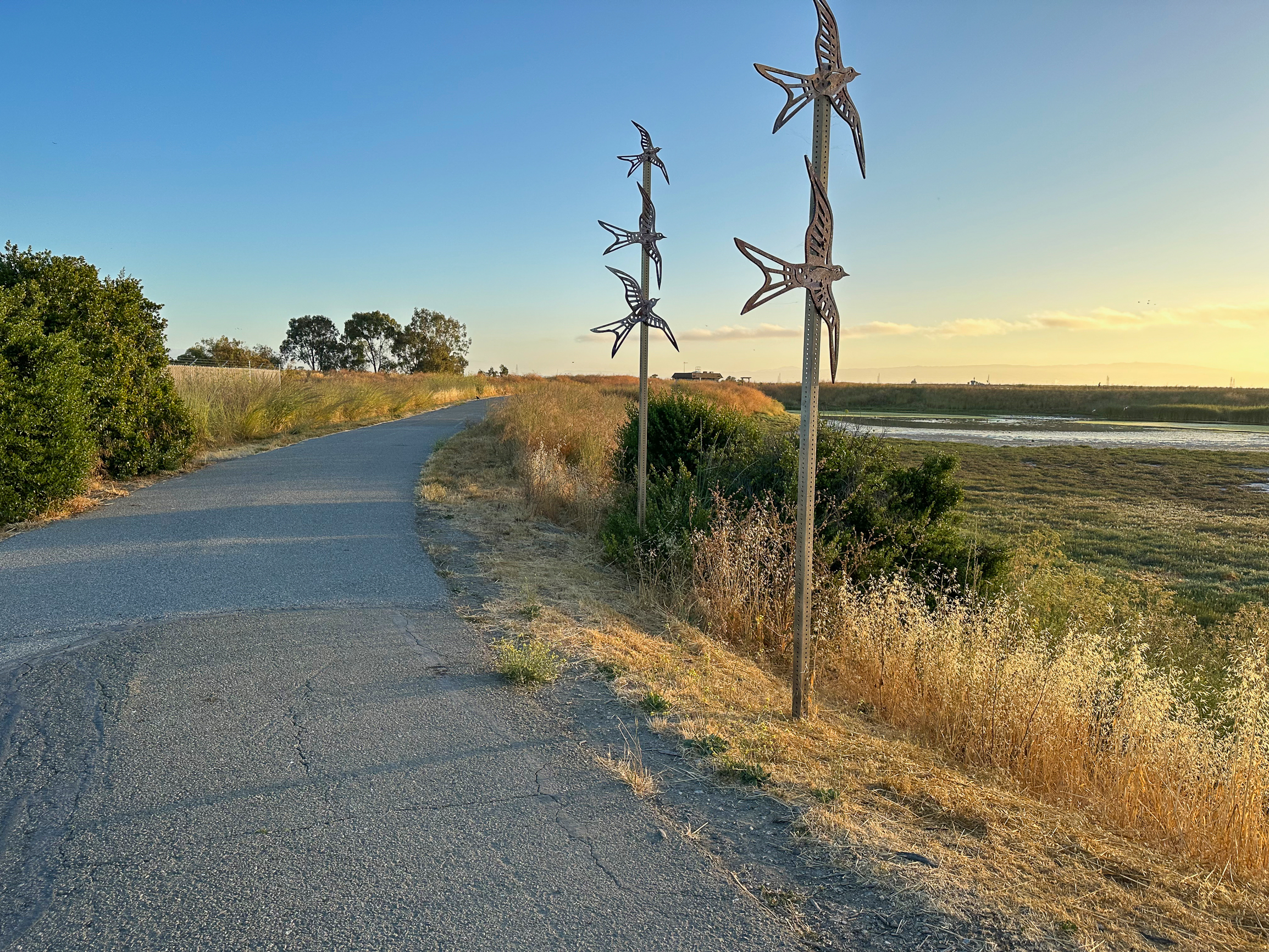
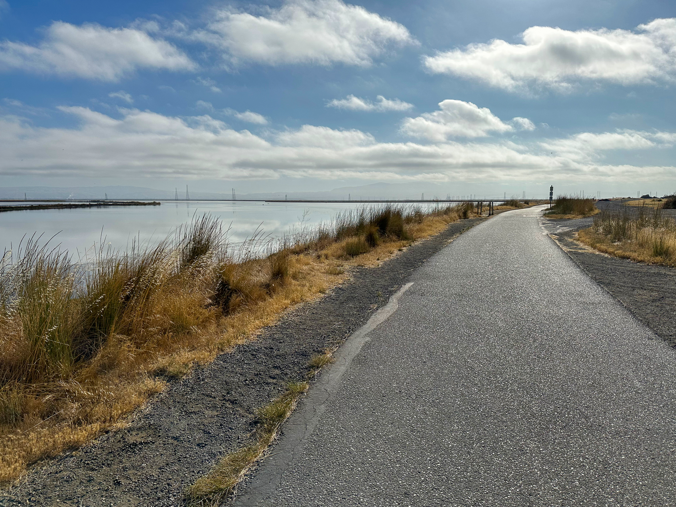
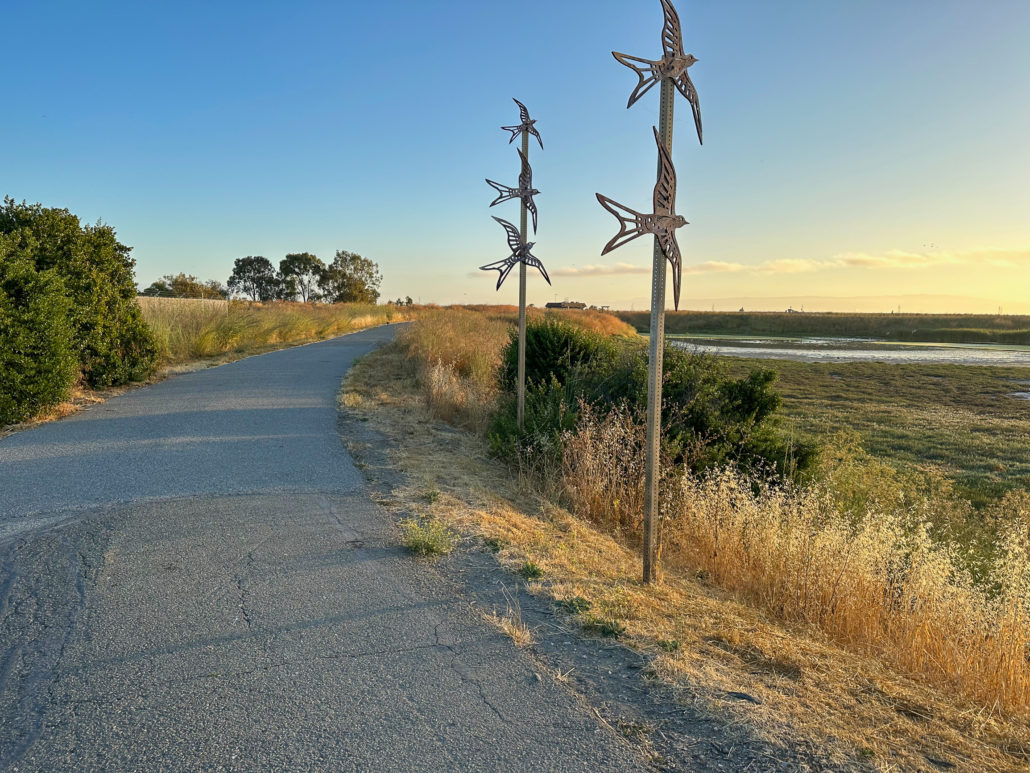
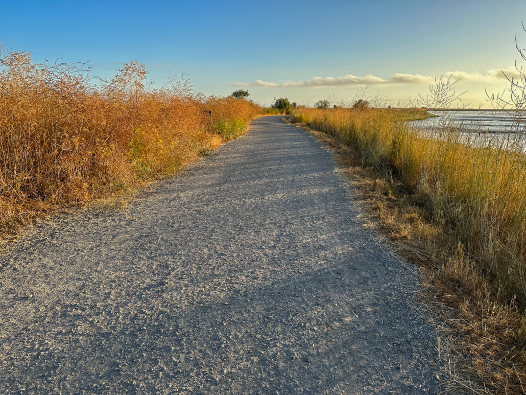
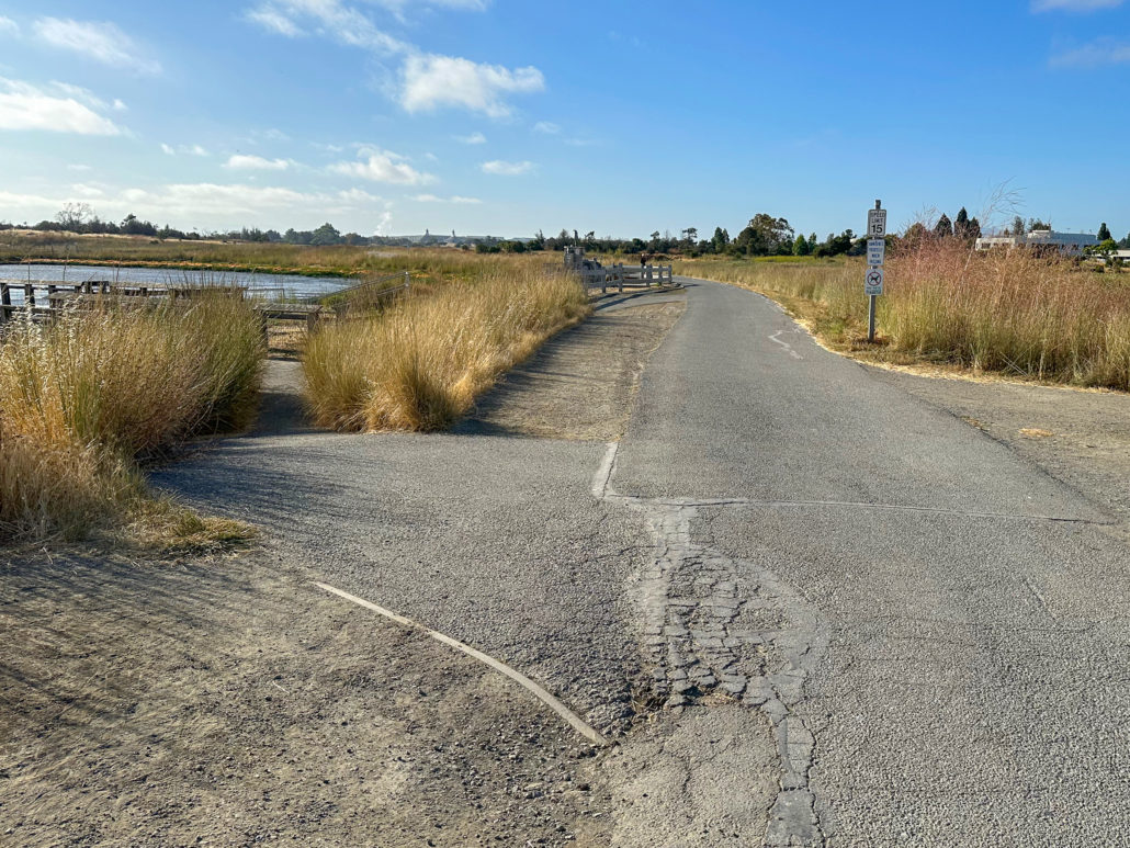
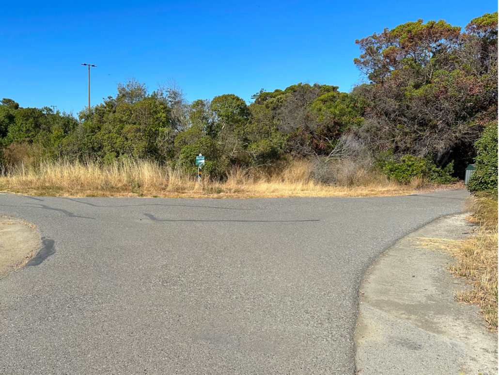
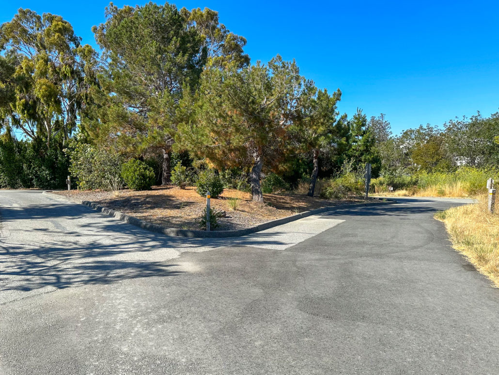
Begin your 4.5-mile loop at the Terminal Boulevard and San Antonio Road trailhead, heading north on the paved access trail past restrooms and a water fountain. A flock of metal birds called the Swift Crossing sculpture points the way to the water.
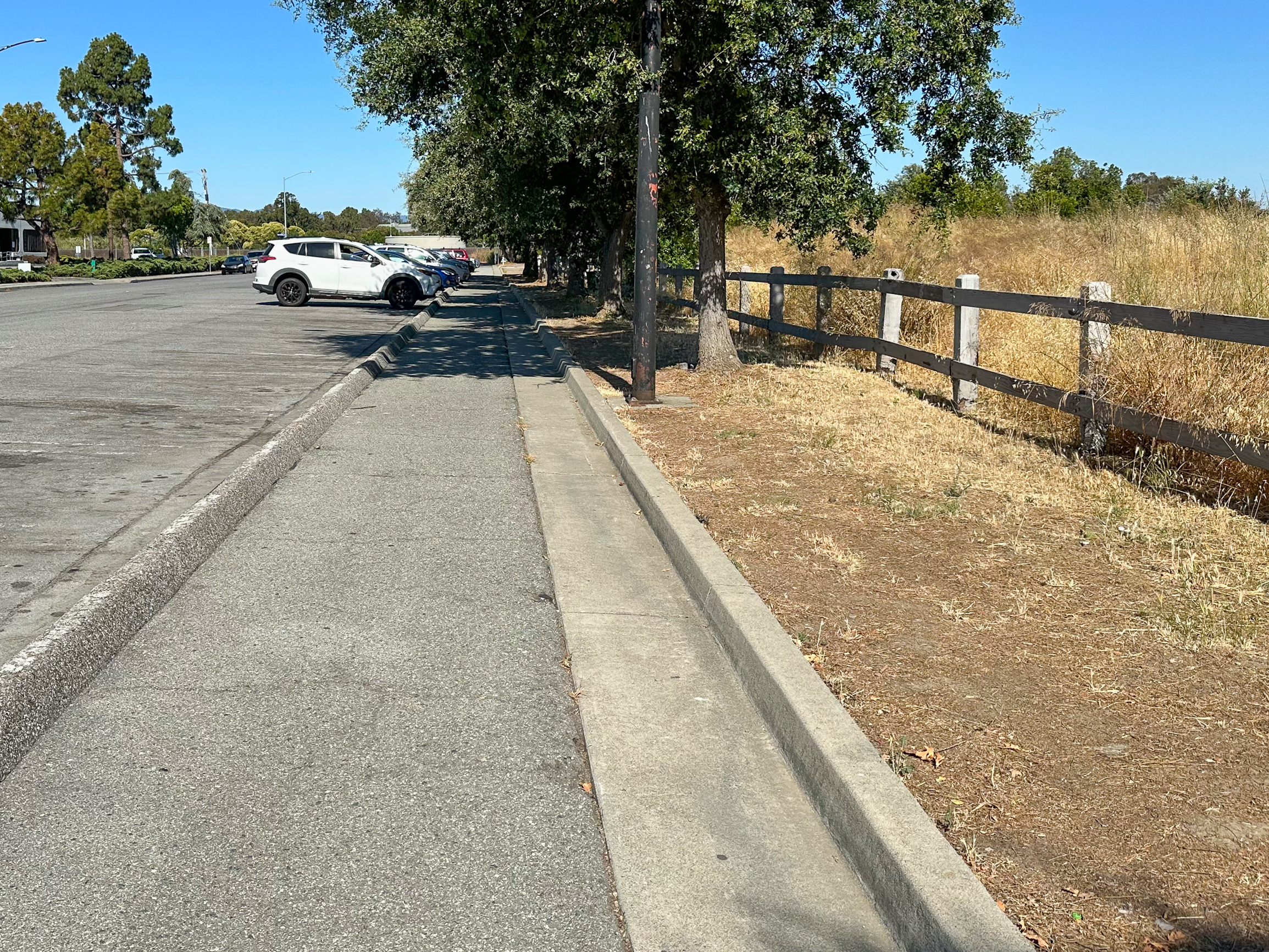
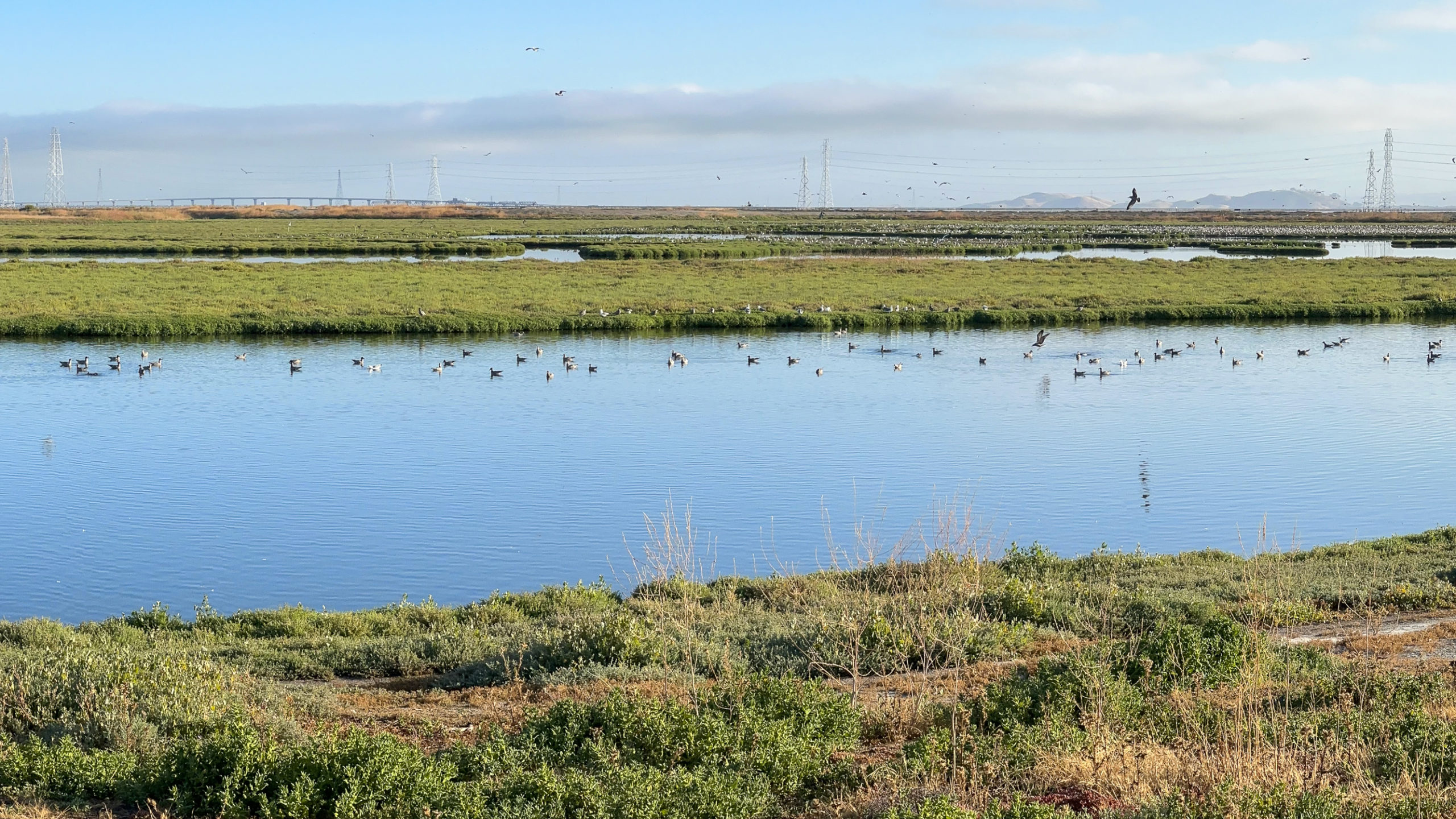
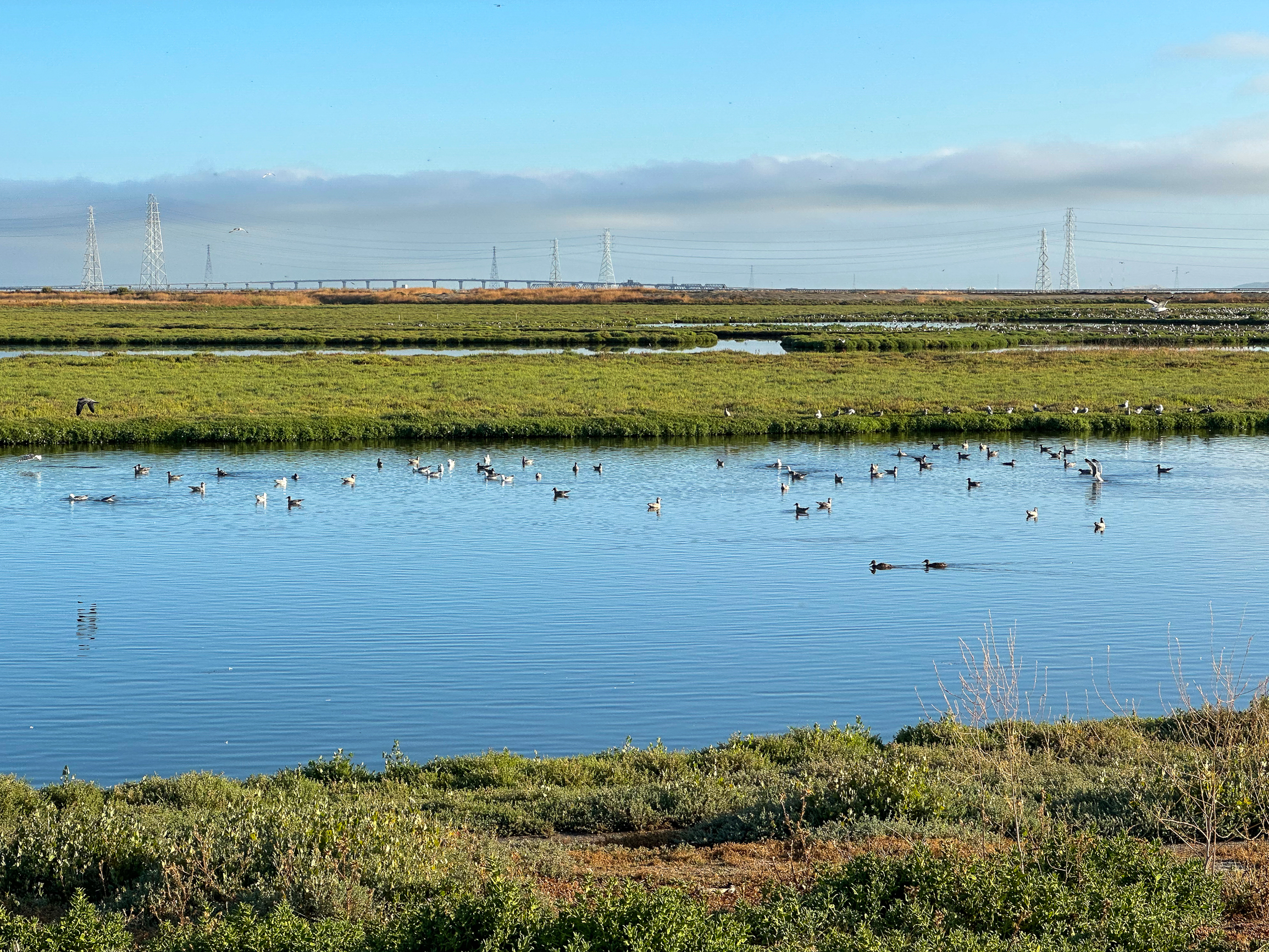
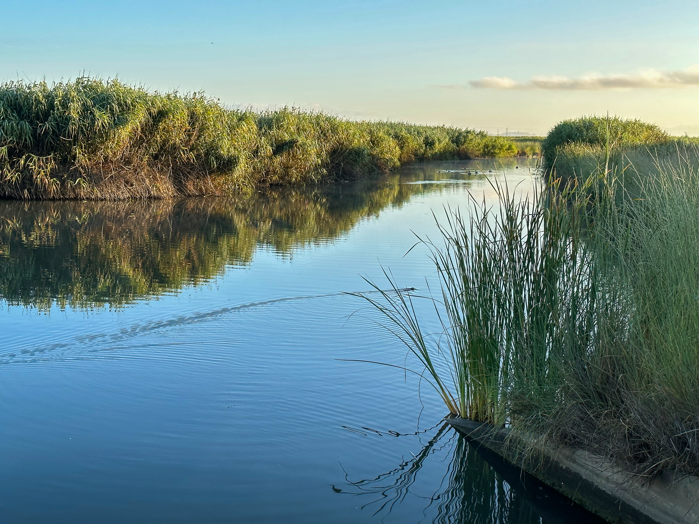
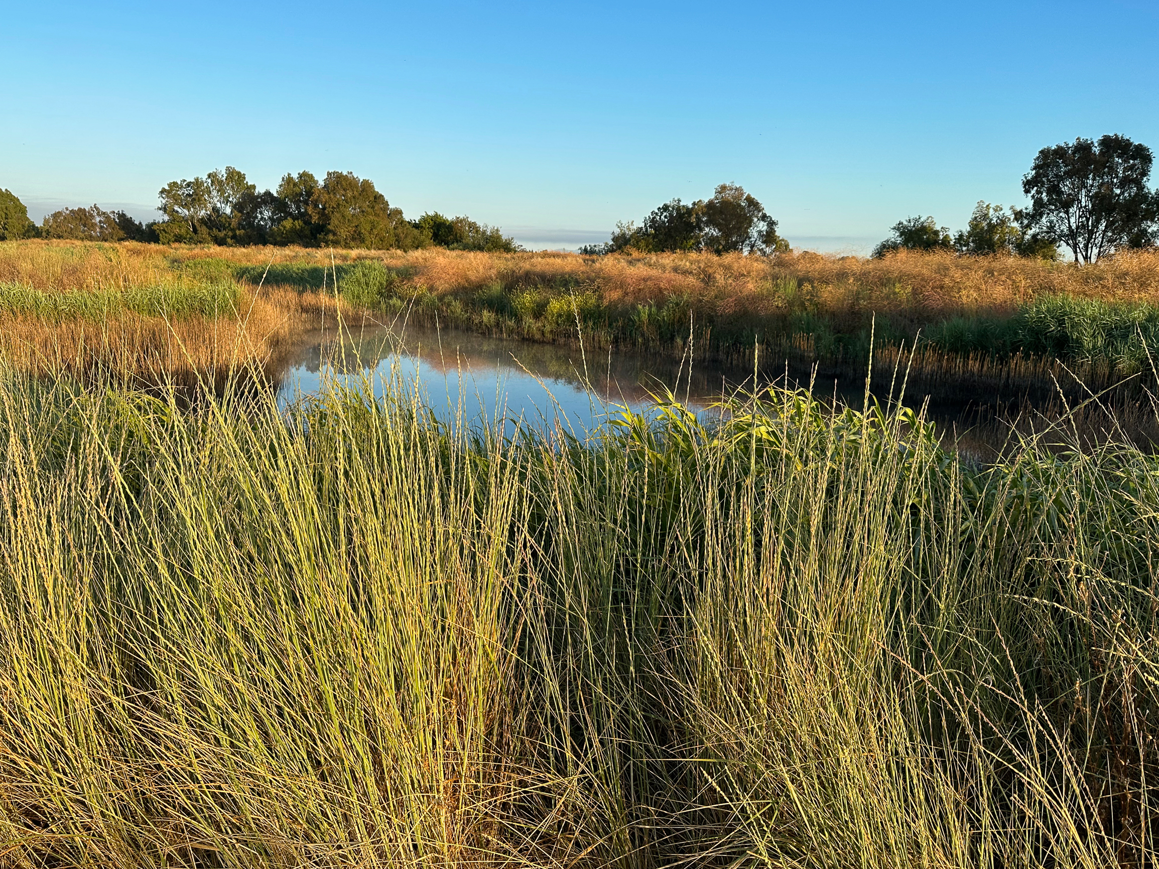
On your right is Coast Casey Forebay, a marshy stormwater detention basin that helps prevent flooding in nearby communities. It is a birding hotspot where shorebirds often preen in the shallow pools and secretive Virginia Rails tiptoe through the marshy grass. In springtime, Cliff Swallows and Barn Swallows arrive for nesting season.
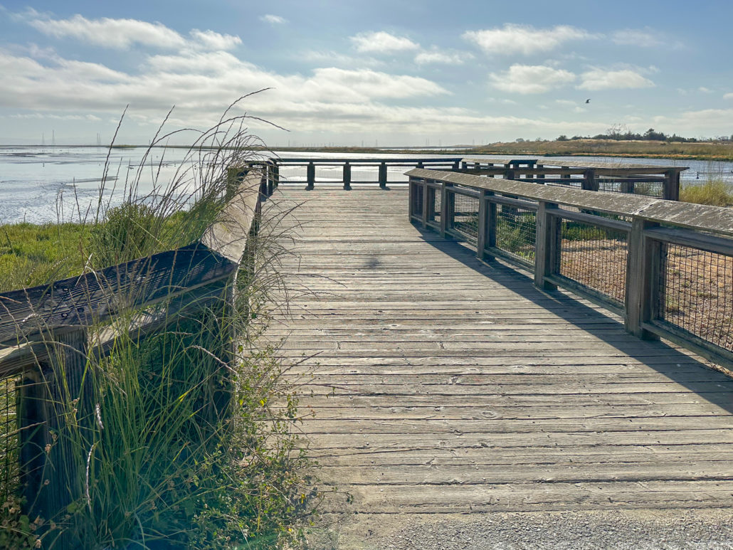
Adobe Creek Overlook
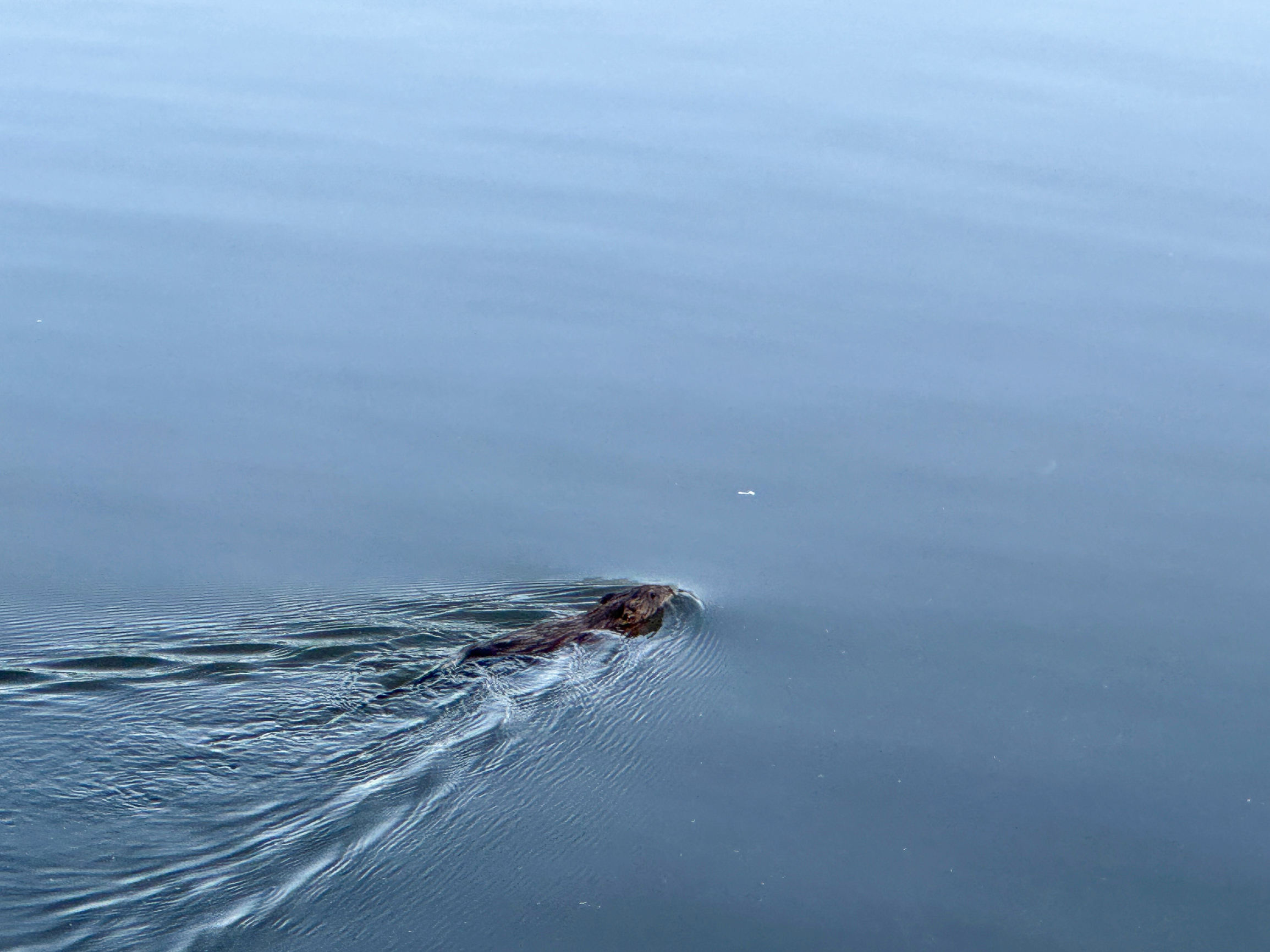
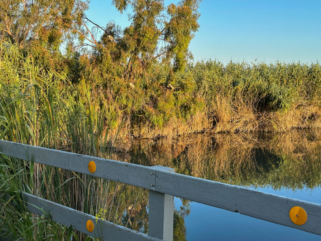
At 0.25 miles, reach a junction with Adobe Creek Trail ahead and the Bay Trail on your right. To your left, look for an unmarked gravel pathway and then follow it down to the Adobe Creek Overlook. Look carefully at the eucalyptus trees to see Black-crowned Night Herons resting in their branches. In the creek, ducks and American White Pelicans may swim by, and a Great Egret may stand still as a stone, hunting for fish.
Adobe Creek Trail
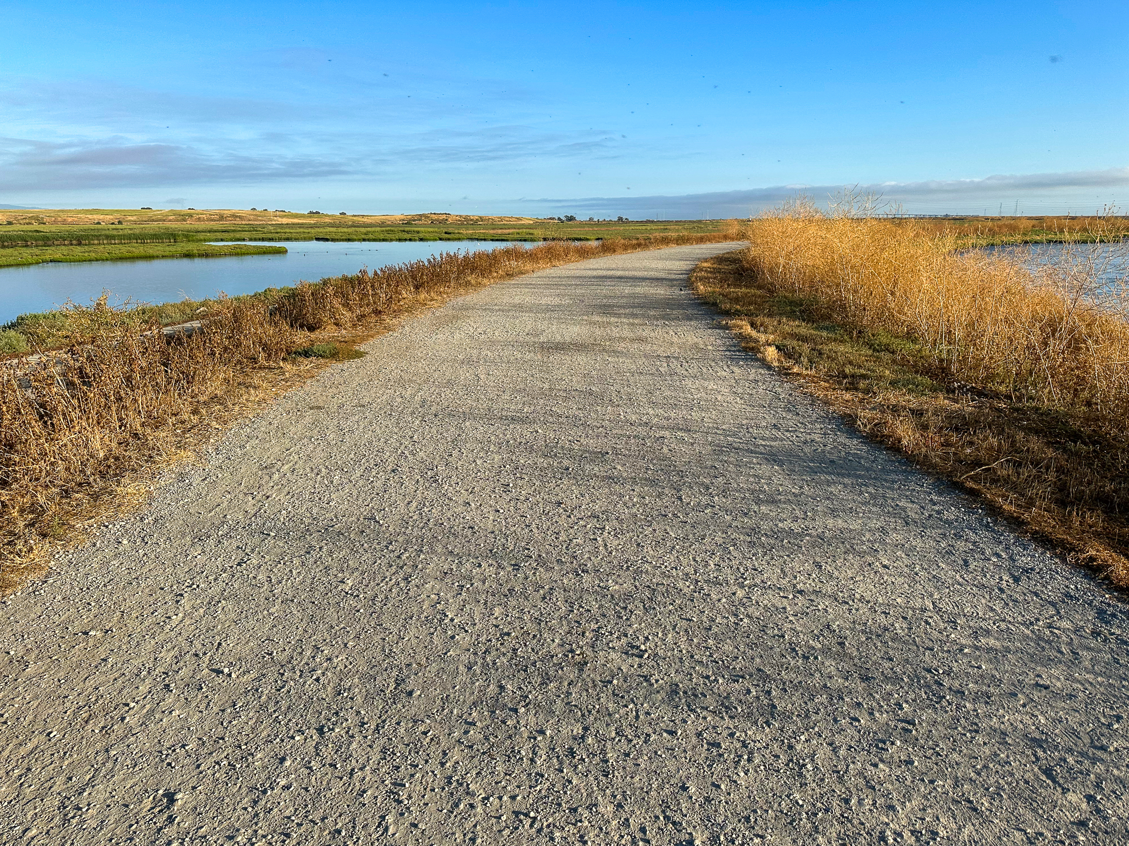
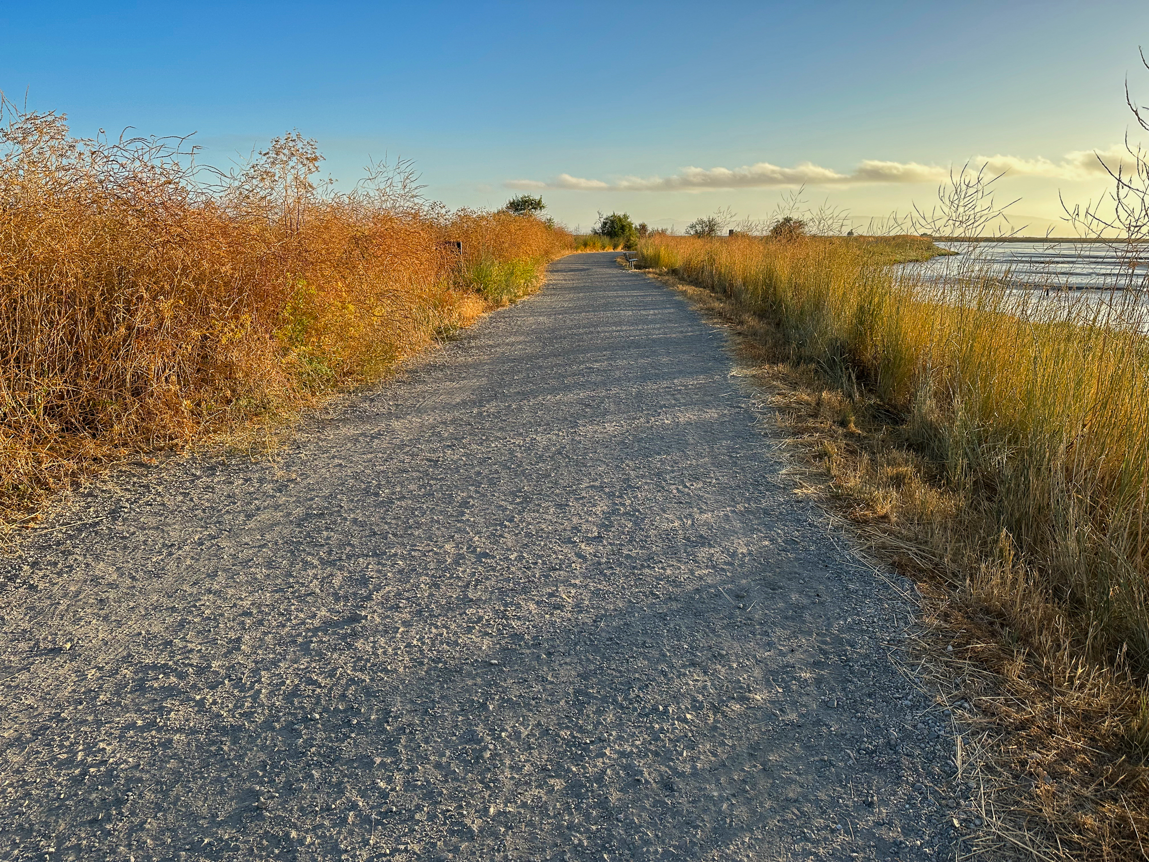
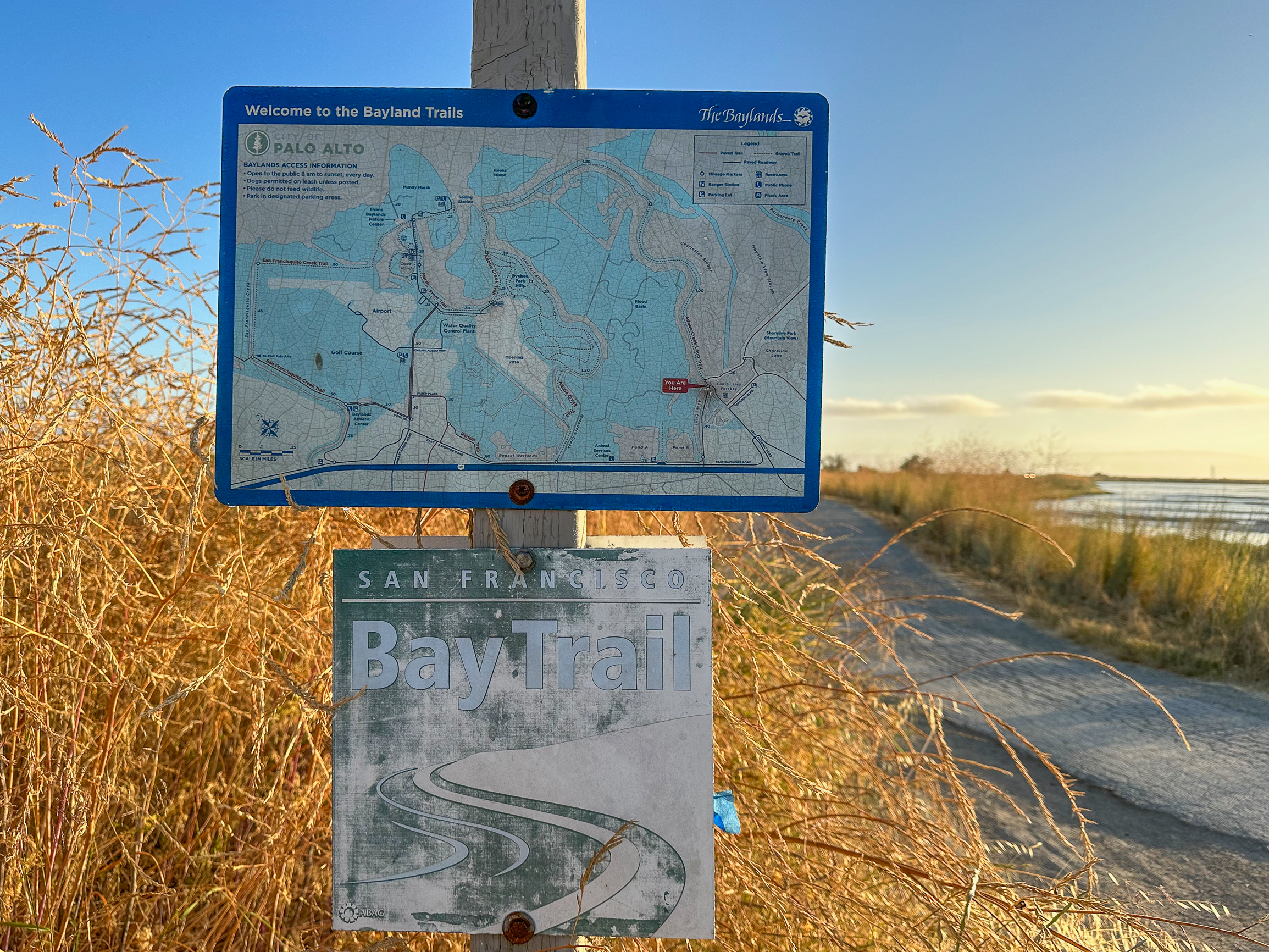
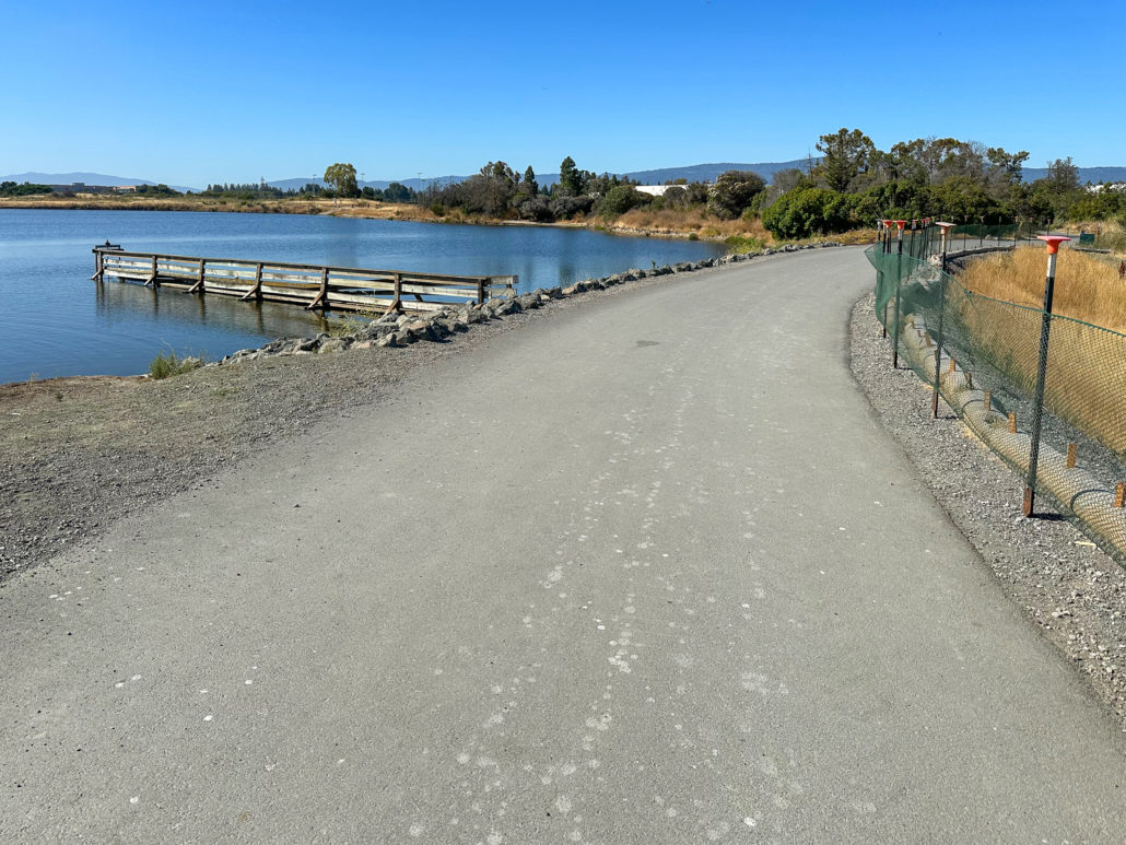
When ready, retrace your steps to the Adobe Creek Trail, hiking north into the Palo Alto Baylands on the gravel levee. The Adobe Creek Trail overlaps with the Bay Trail, a planned 500-mile trail network that traces the shorelines of San Francisco and San Pablo Bays through 47 cities and nine Bay Area counties. So far, over 350 miles have been completed.
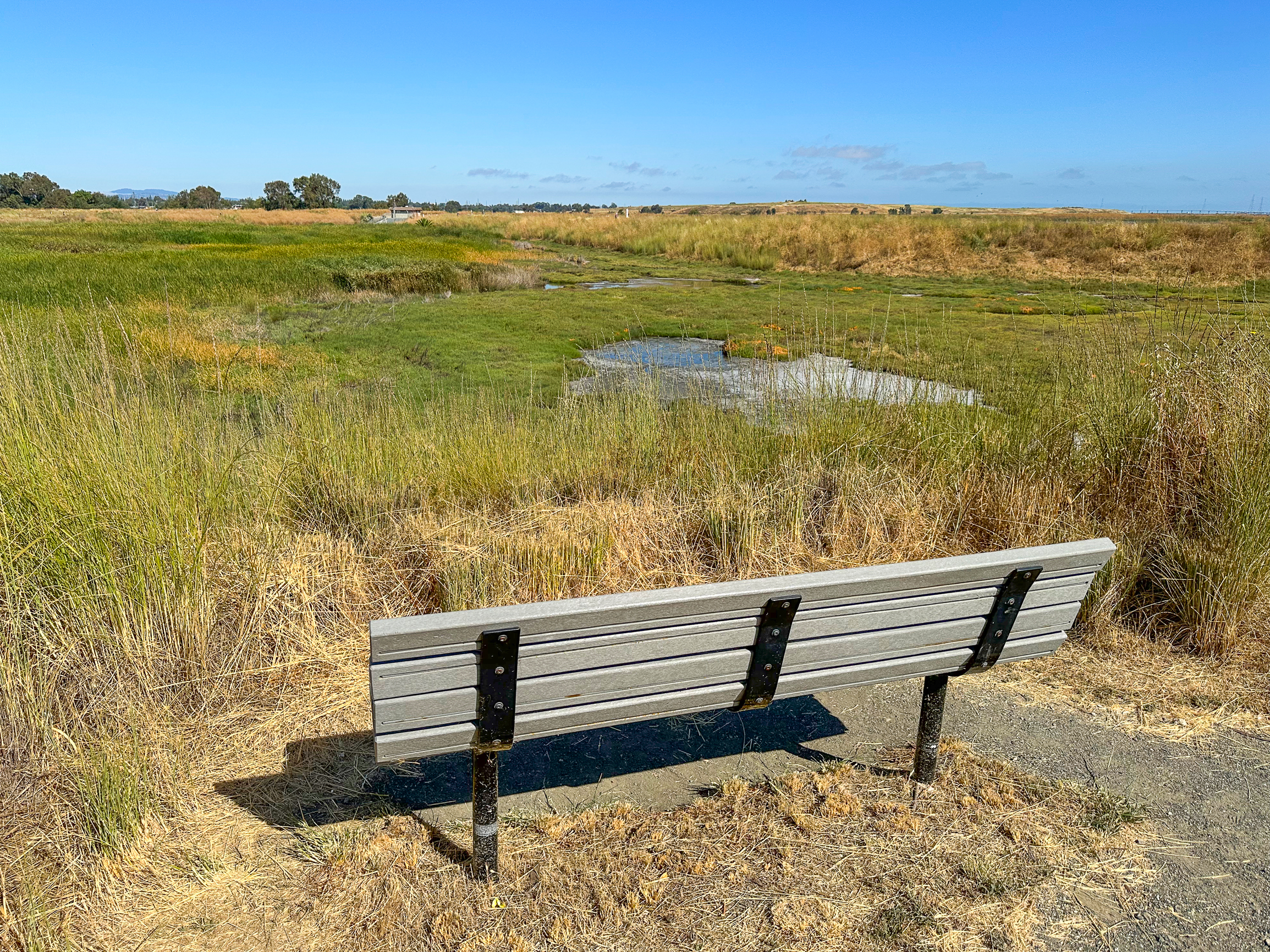
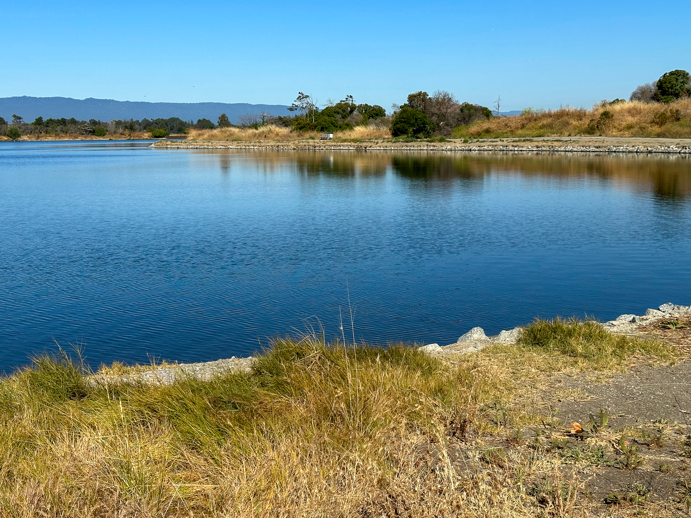
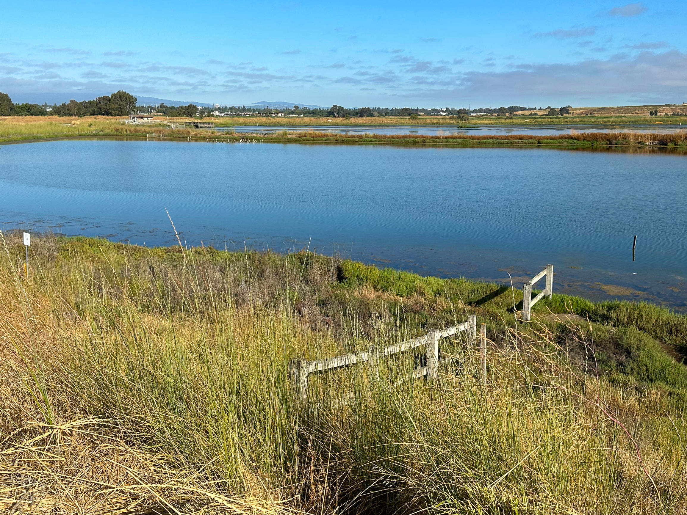
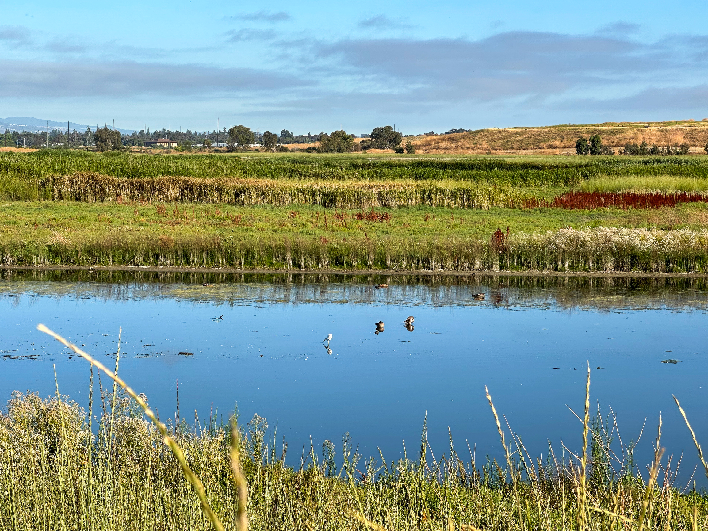
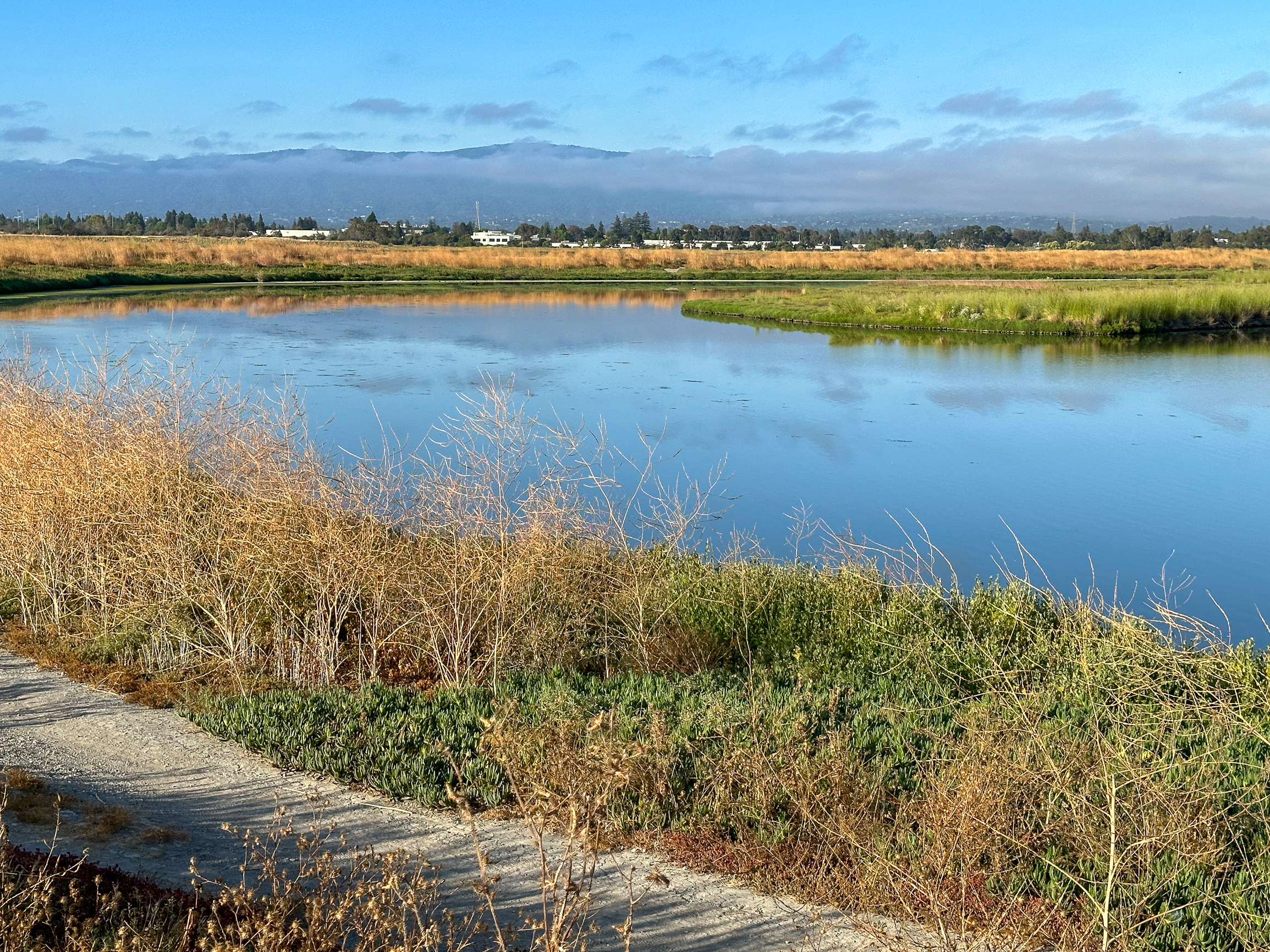
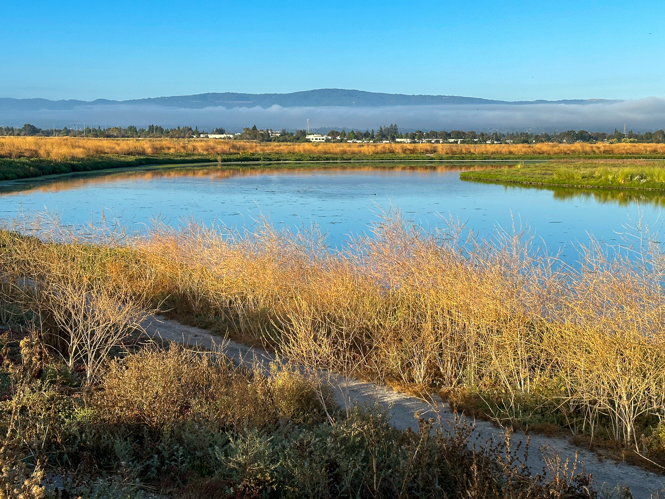
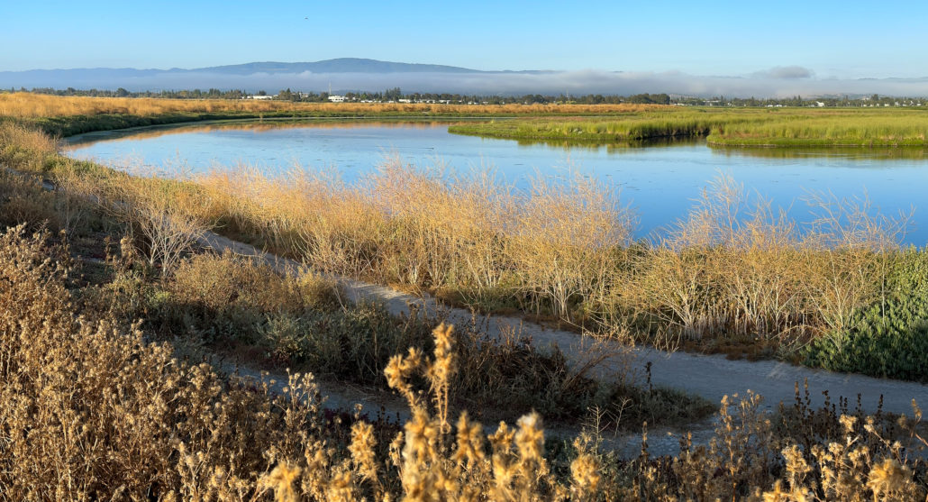
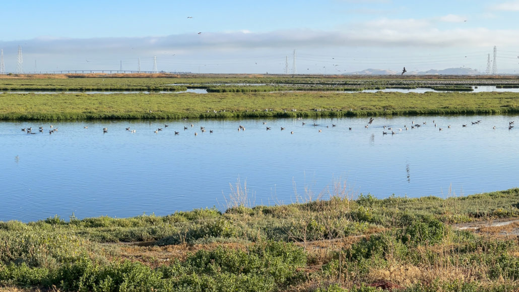
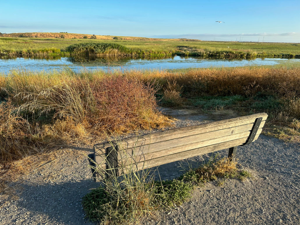
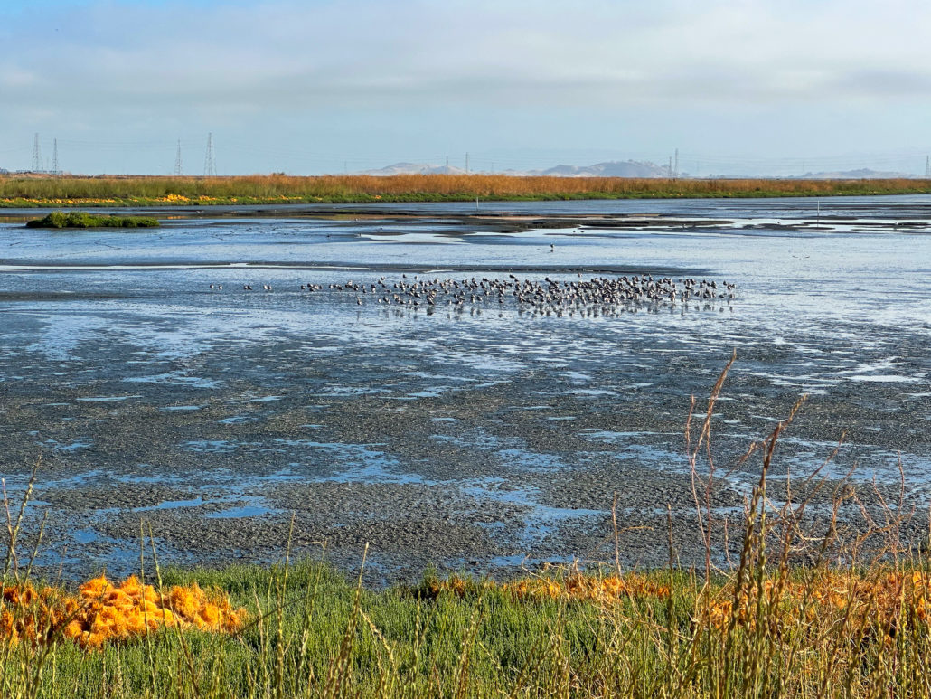
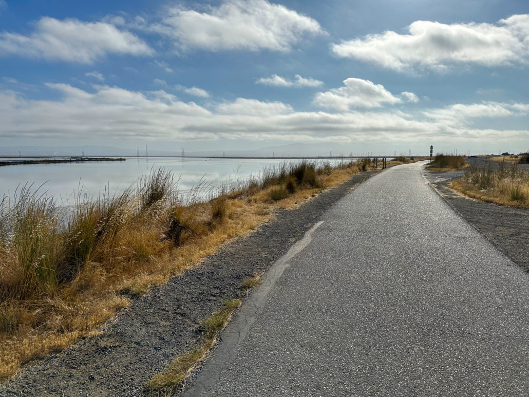
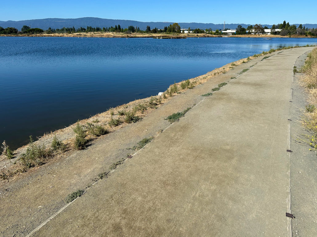
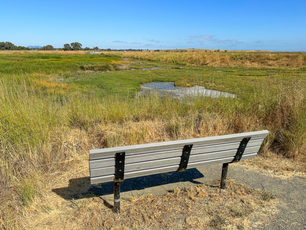
The elevated gravel levee straddles Adobe Creek and Charleston Slough, a tidal mudflat, to your right. The waterside views here are exceptional, with the Diablo Range to the east and the Santa Cruz Mountains to the west. Benches face out towards Charleston Slough and Adobe Creek. Here, you may spot Canada Geese, California Gulls, American Coots, Ruddy Ducks, Black-necked Stilts, and American Avocets.
Palo Alto Flood Basin
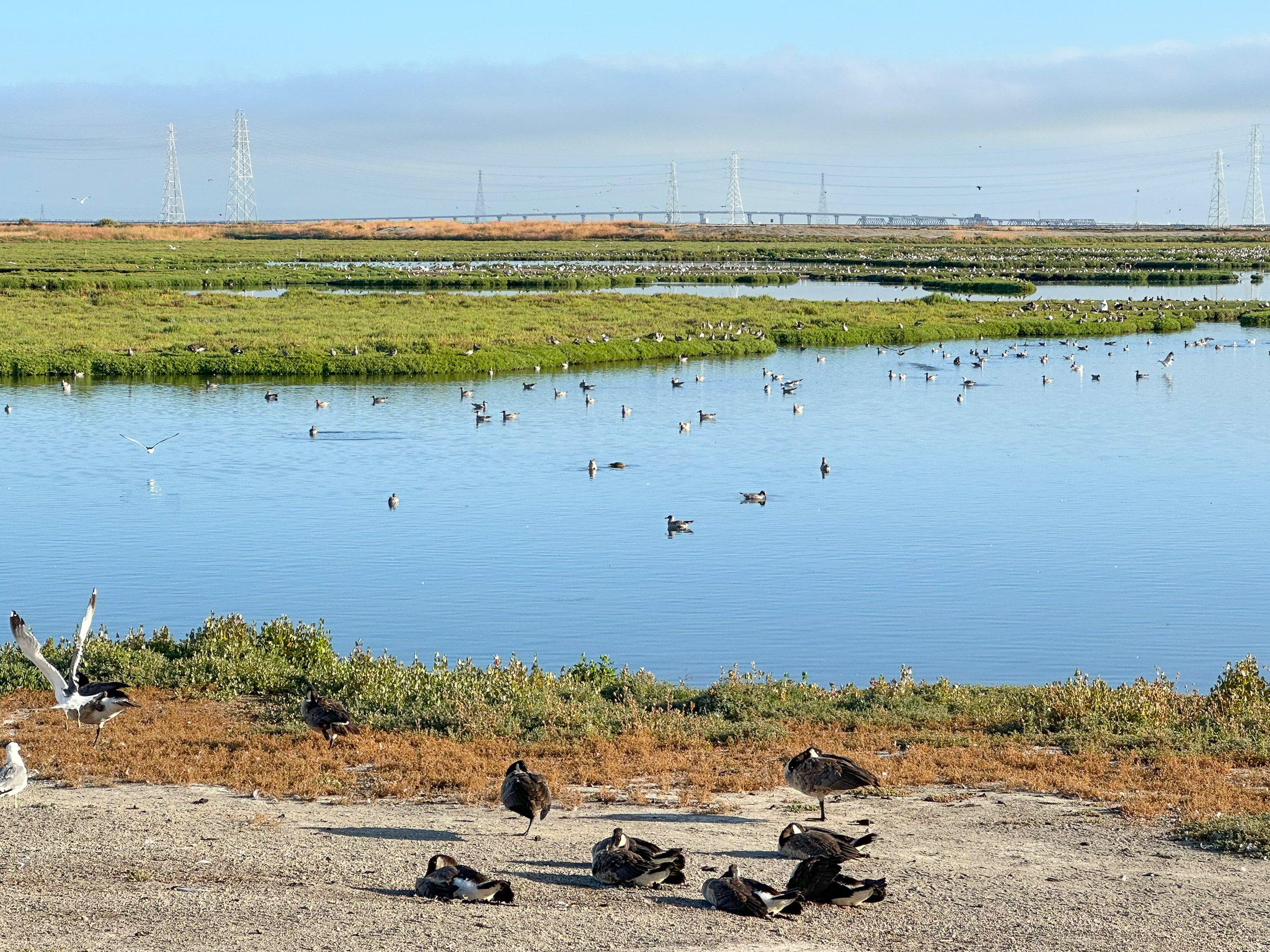
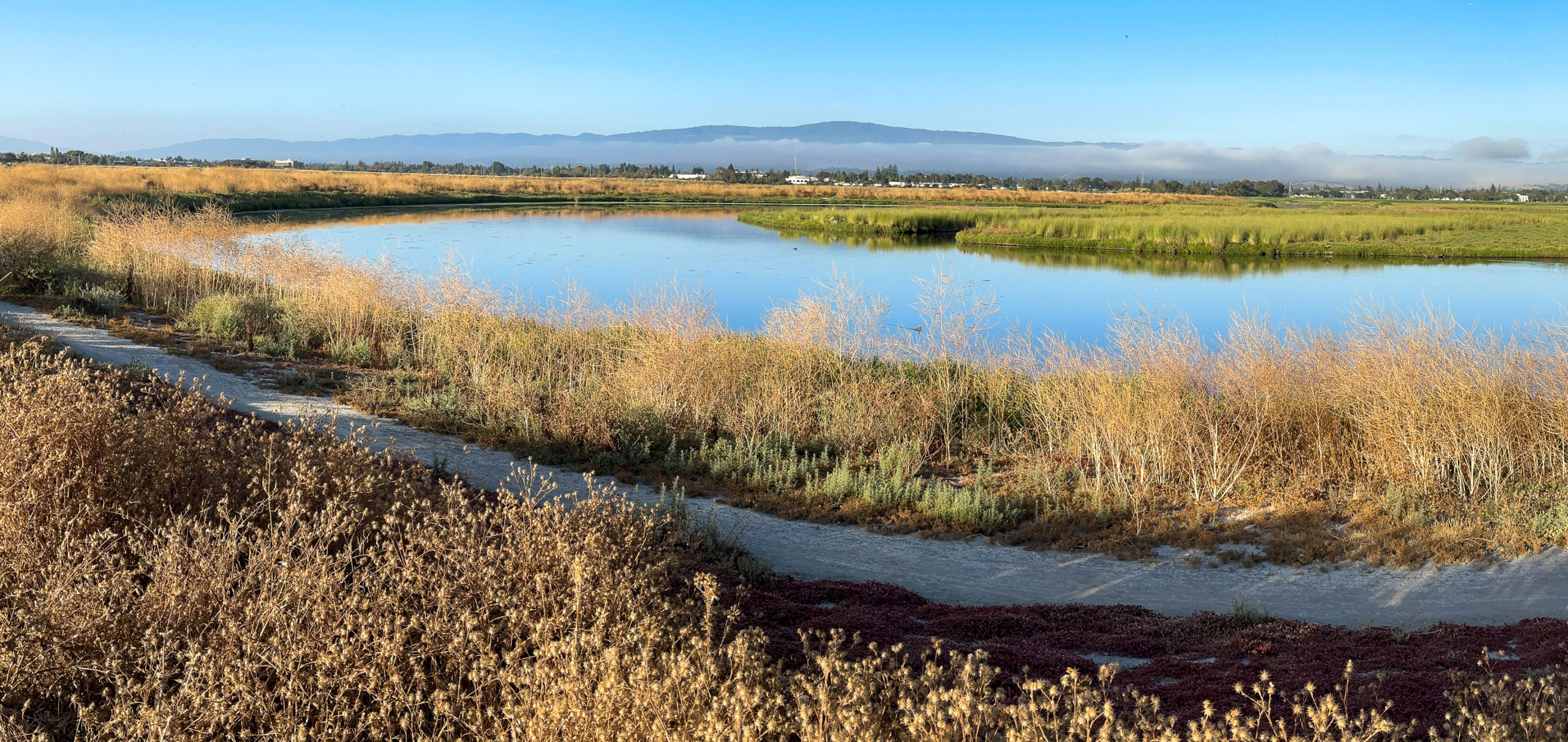
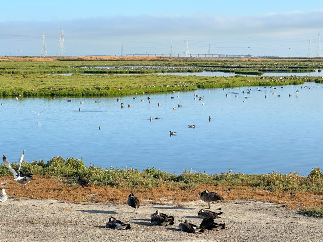
At 1.5 miles, reach the northern border of Charleston Slough. On your left, looking north towards the Dumbarton Bridge and Coyote Hills, is a squawky California Gull colony that nests in spring and summer on the Palo Alto Flood Basin’s islands and peninsulas.
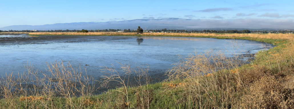
When ready, retrace your steps back to the intersection of the Adobe Creek Trail and Bay Trail. The return view is a picture postcard vista of the Santa Cruz Mountains above Charleston Slough and Adobe Creek.
Charleston Slough Overlook
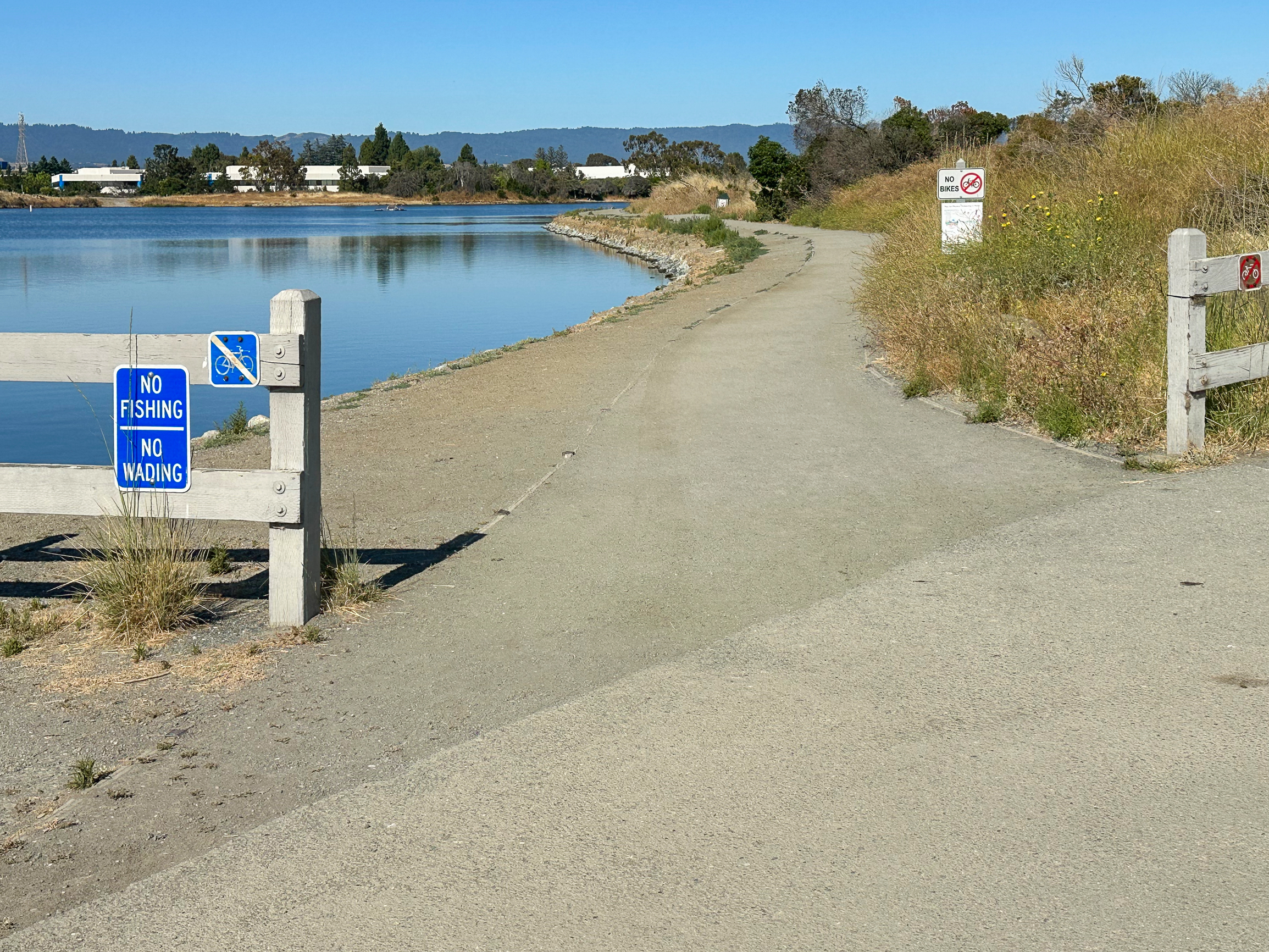
Arrive back at the Adobe Creek Trail and Bay Trail junction at 2.6 miles. Then, turn left onto the Bay Trail, hiking east toward Shoreline at Mountain View. Dogs are not allowed beyond this point to protect sensitive wildlife such as the Burrowing Owl, a California Bird Species of Special Concern that nests in the grasslands at Shoreline.
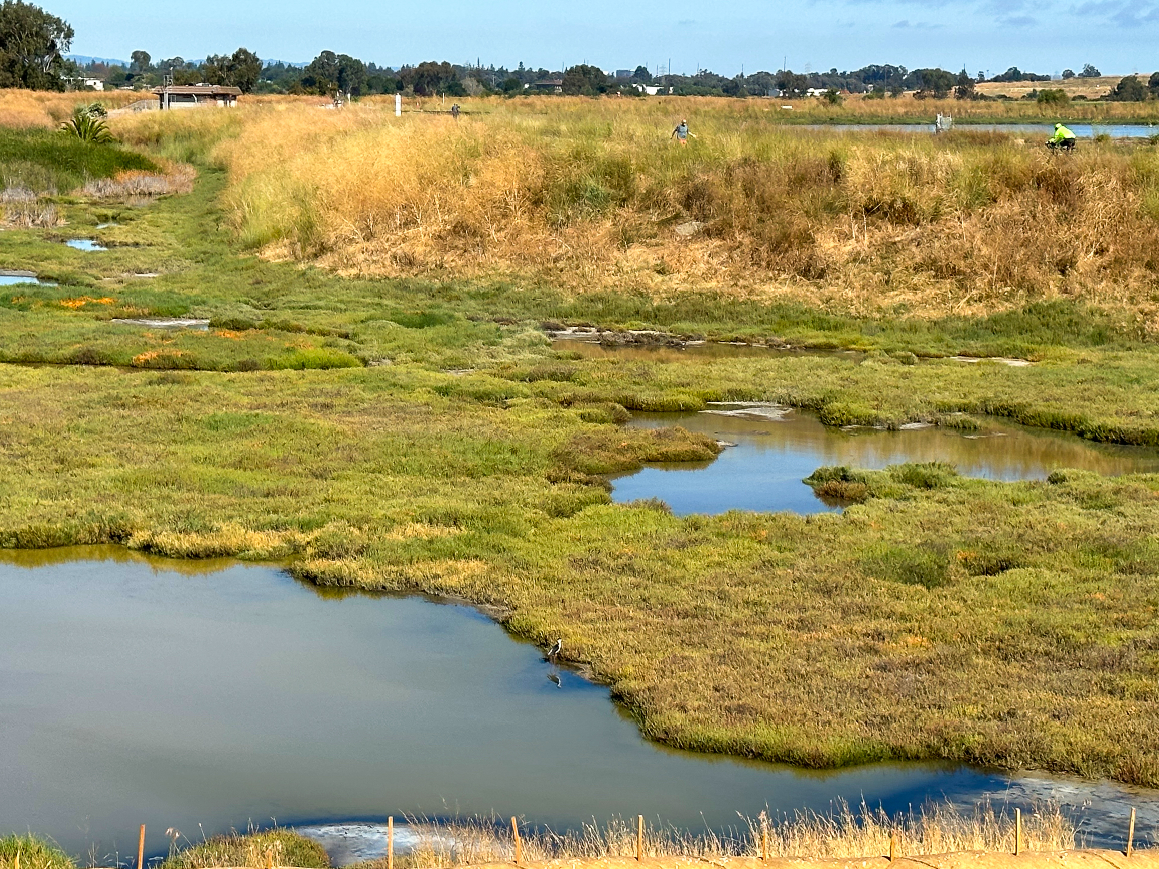
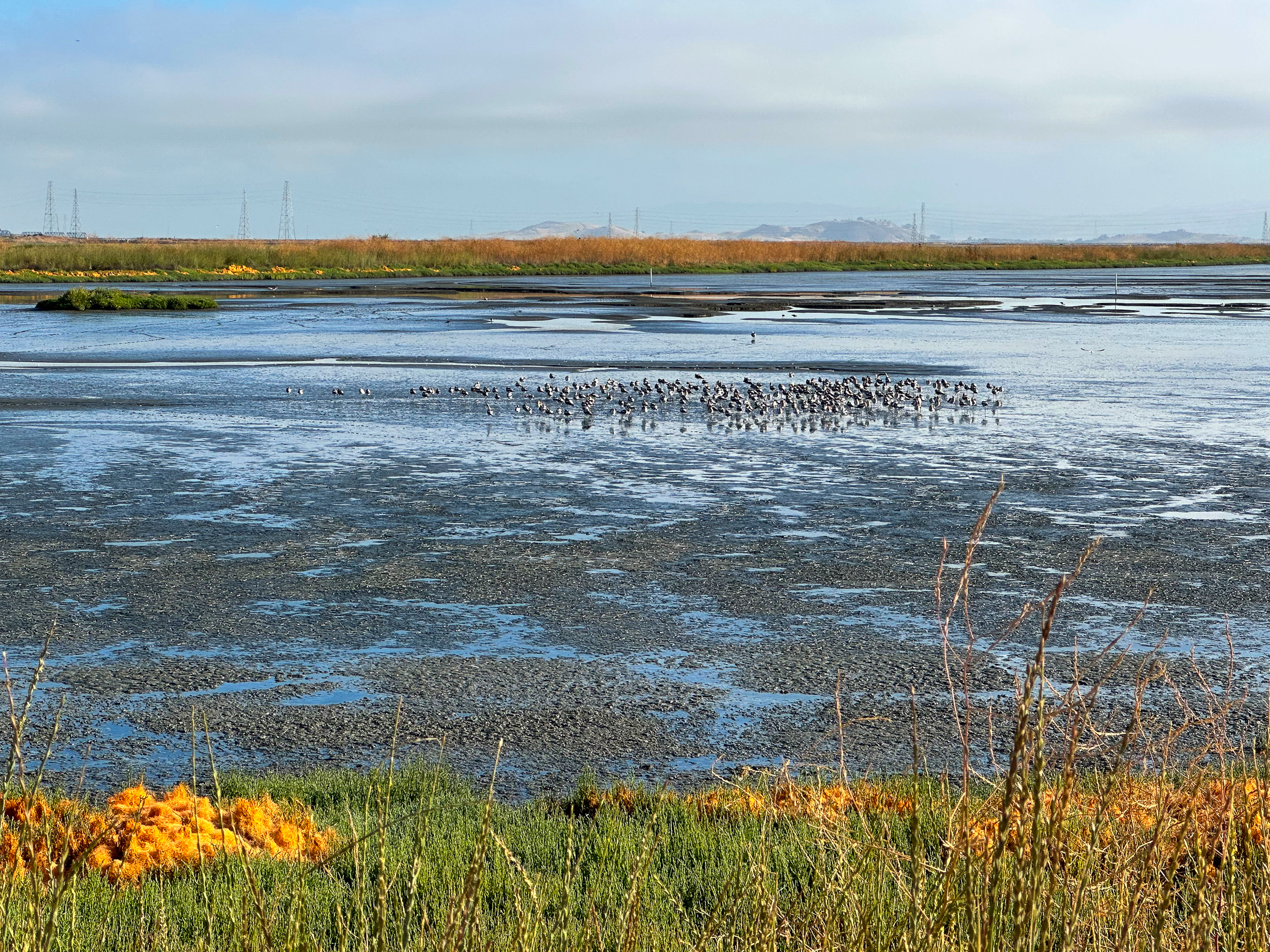
On your left is the Charleston Slough Overlook. At low tide, you can often see flocks of shorebirds here like Black-necked Stilts and American Avocets. When the tide comes in you may see ducks such as Gadwalls and Cinnamon Teals.
Bay Trail to Shoreline Lake
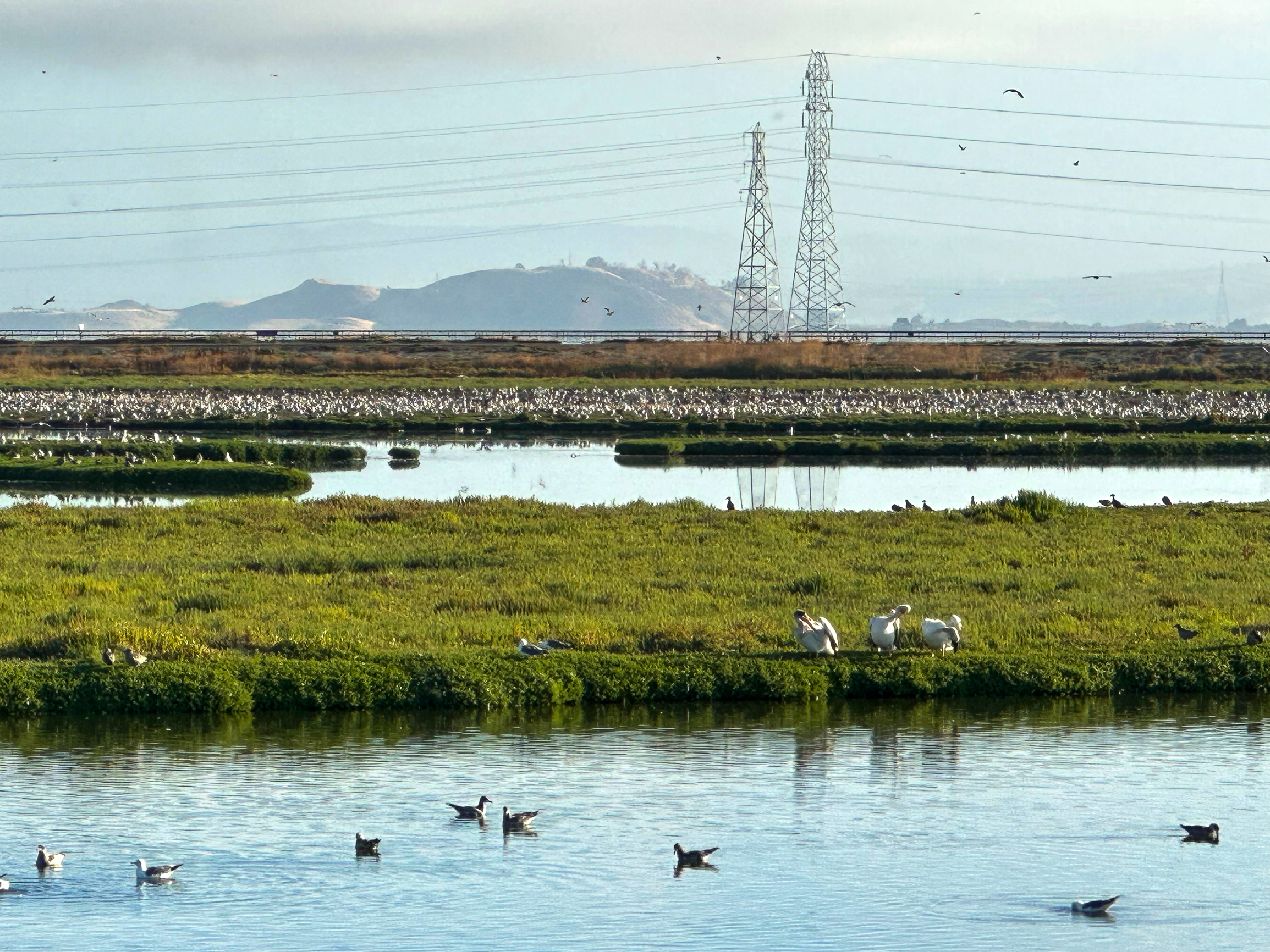
After visiting the overlook, continue east on the Bay Trail, bearing left at a Y junction toward the salt ponds. Looking out over the A1 salt pond, you may see Double-crested Cormorants and Forster’s Terns resting on pilings in the water. Around the Bay Trail, Red-tailed Hawks, Cooper’s Hawks, and White-Tailed Kites fly overhead, hunting for prey in the grasslands.

Follow the Bay Trail as it curves south along the Mountain View Slough. Then, turn right at a Y-junction to reach the boathouse and Shoreline Lake. The Bay Trail continues to the left over a bridge.

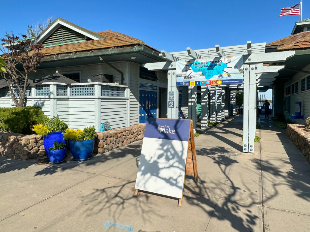
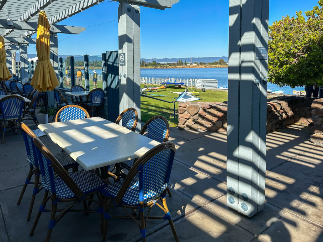
Shoreline Lake
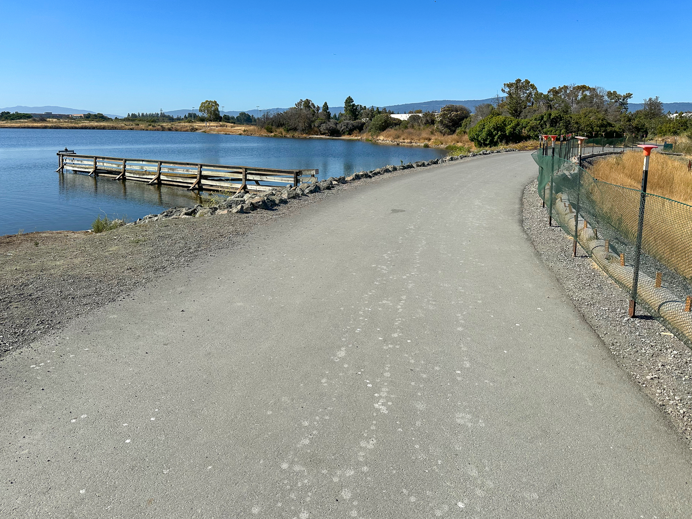
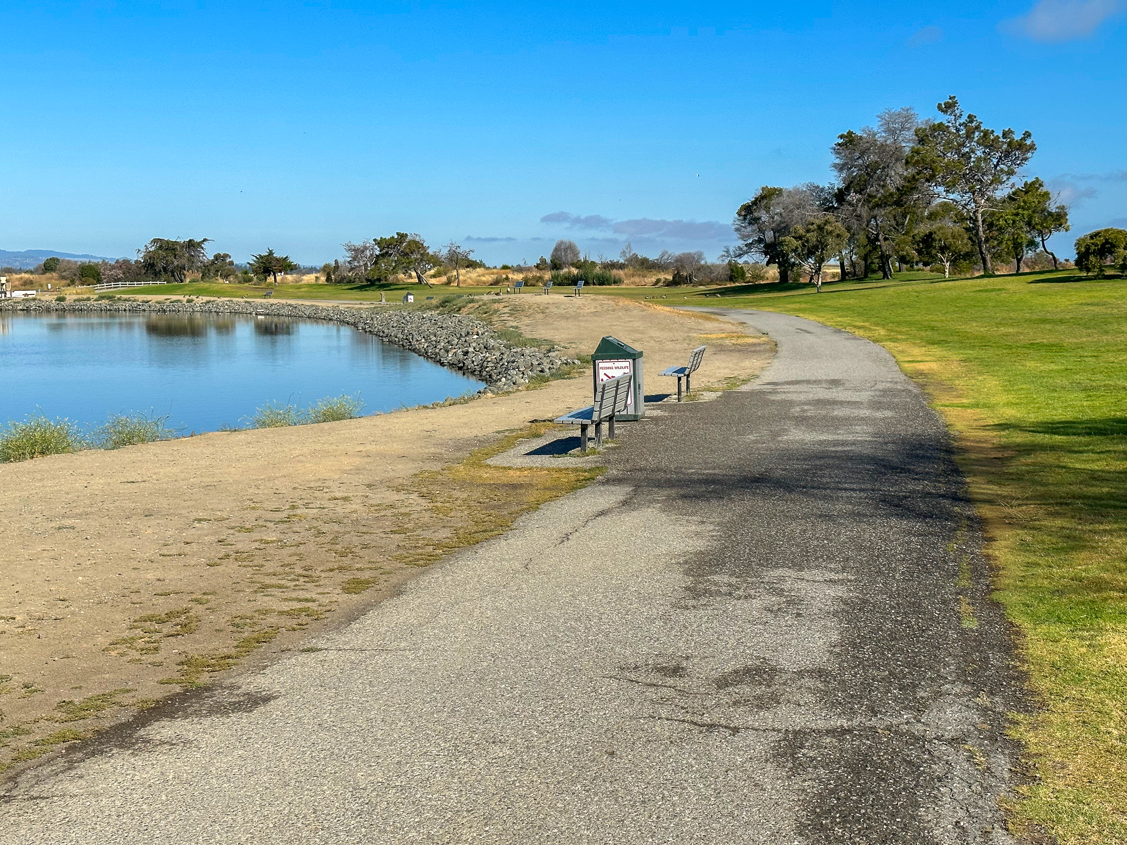
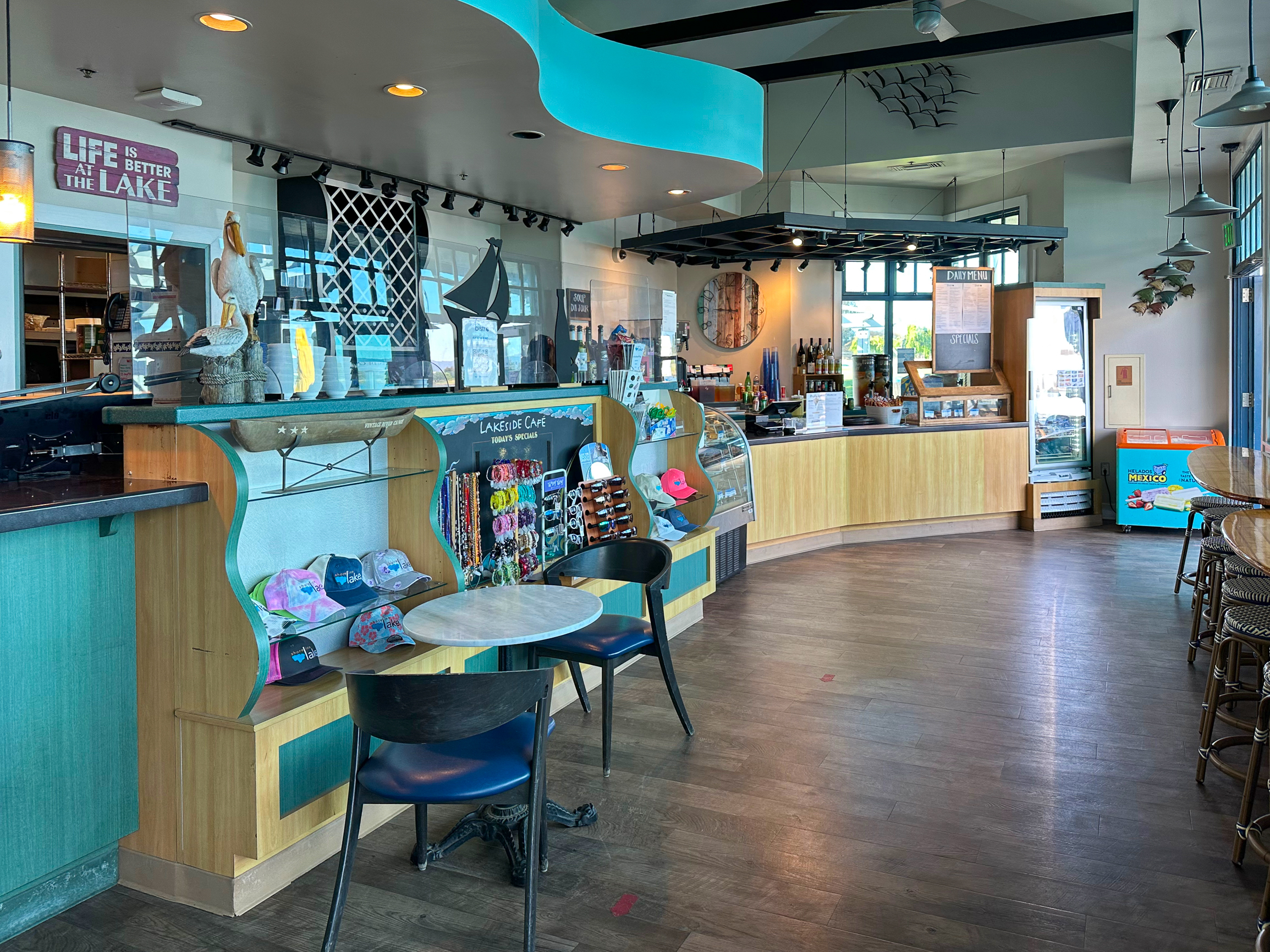
At 3.6 miles arrive at the boathouse and Shoreline Lake, a peaceful, 50-acre saltwater sailing lake. At the boathouse, you can rent a canoe, kayak, paddleboard, pedalboat, and other boating vessels. Past the boathouse, a pergola leads to restrooms and American Bistro, a small restaurant with coffee, burgers, sandwiches, and lakeside views.
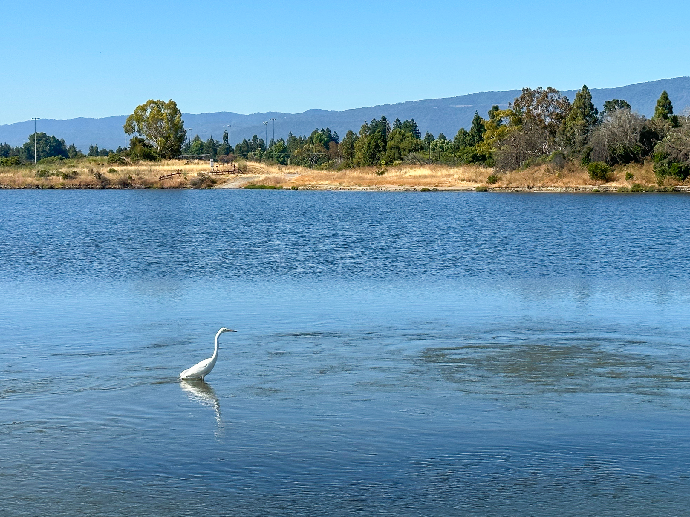
When ready, hike north on the paved trail next to the boathouse, and then west as the gently sloping trail rounds the lake. Resident herons and egrets, as well as ducks like Surf Scoters, American Wigeons, and Canvasbacks forage in the lake for food. A small island in the lake is a breeding spot for Black Skimmers, coastal birds with distinctive black and red bills they use to skim the water for fish.

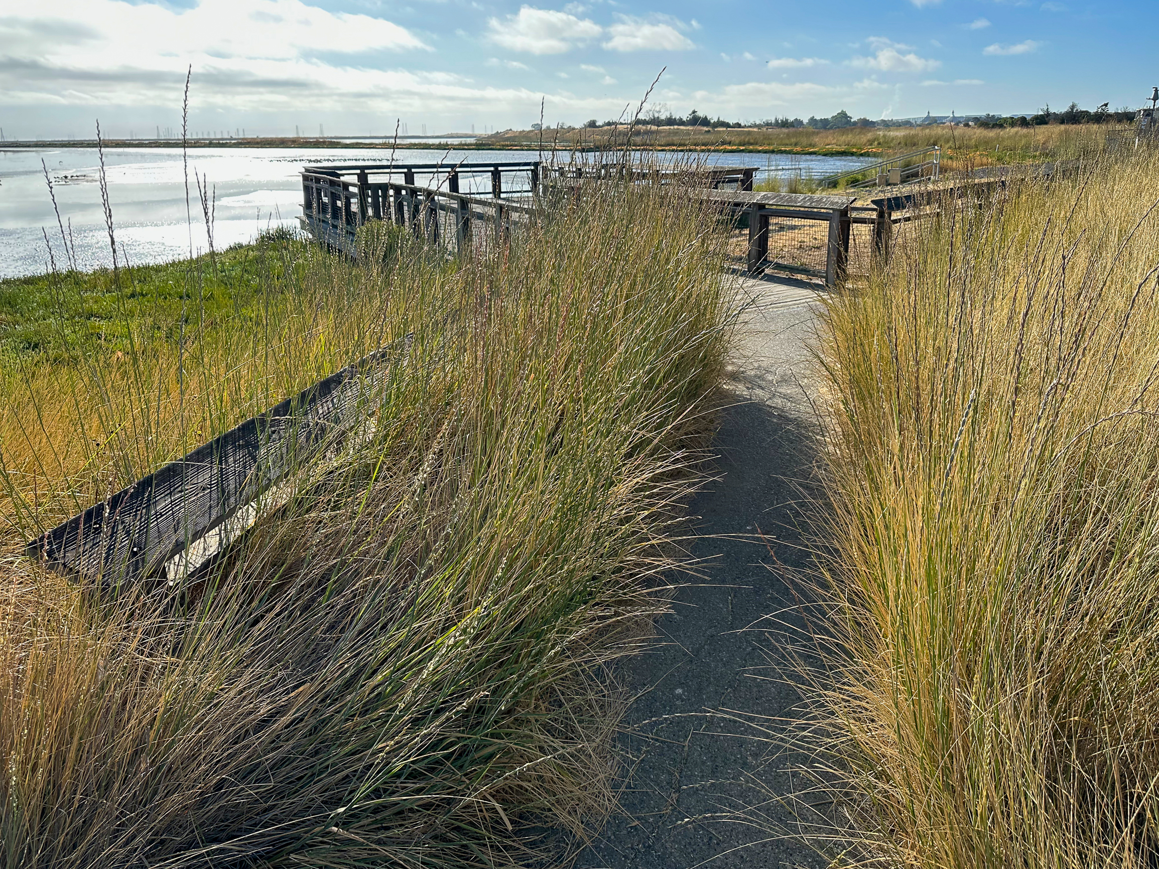
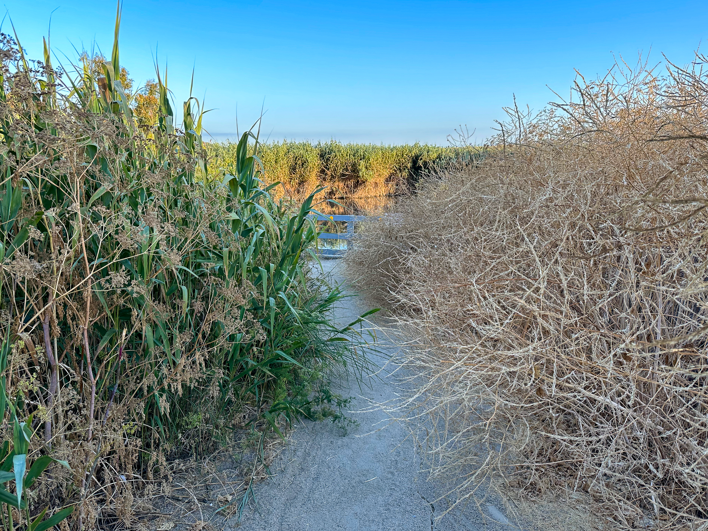
Coast Casey Forebay
At 4.2 miles, reach the far western end of Shoreline Lake and turn left onto a paved pathway, heading south. Look to your right for an overlook of Coast Casey Forebay. In shallow pools, you may see wading birds like a Great Blue Heron or shorebirds like Black-Necked Stilts. Surrounded by shrubs and brush, it is a wonderland of birdsong, with Anna’s Hummingbirds, Song Sparrows, Marsh Wrens, and Northern Mockingbirds singing over each other.
After 250 feet, turn right at a Y-junction onto a paved walkway along Terminal Boulevard. Follow the walkway west for another quarter mile, finishing your loop back at the trailhead.

Farther Afield
If you have more gas in the tank, explore Pond A and Pond B, a nearby birding hotspot to see wintering ducks. To reach it, return to the trailhead and take the paved access trail north for 0.2 miles. Then, turn left, heading west on the paved Adobe Creek Loop Trail along East Bayshore Road. It adds another 1.5-2.5 miles round-trip depending on how much you explore.
Resources:
Palo Alto Baylands Nature Preserve
Birding Resources – Santa Clara Valley Audubon Society
Shoreline Lake and Palo Alto Baylands accessibility information by Mark Hehir
Tags: birding, Birding Hot Spots, Diablo Range, Mountain View, Palo Alto, Palo Alto Baylands Nature Preserve, San Francisco Bay, Santa Clara Valley, Santa Cruz mountains, Shoreline at Mountain View, Shoreline Lake, Shoreline Lake Park, South Bay, The Baylands, wildlife refuge