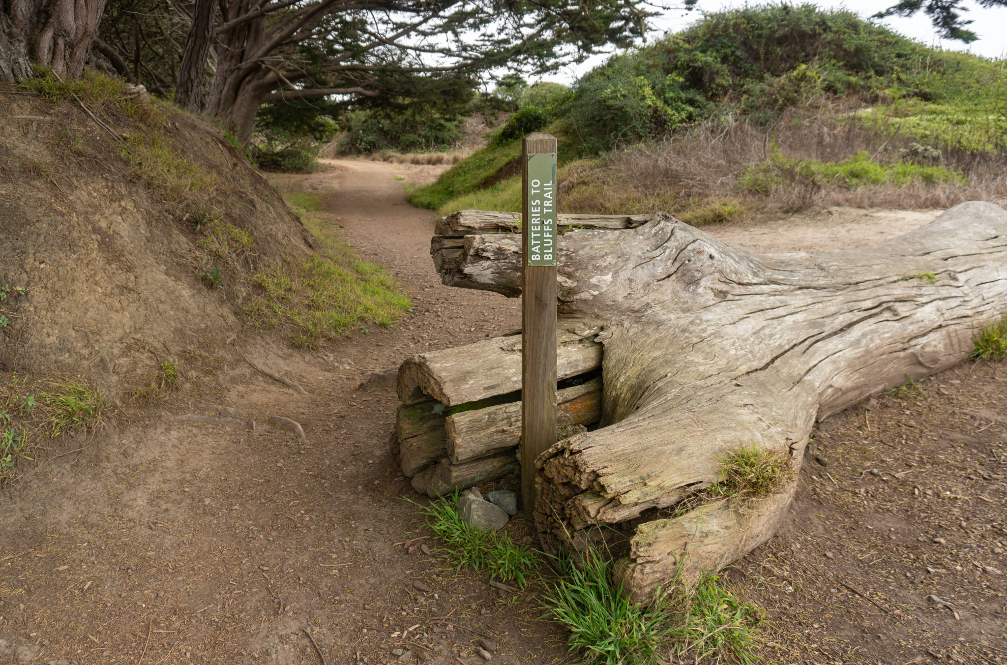
The Batteries to Bluffs Trail is a quintessential San Francisco hike on the western bluffs of the city, steeped in history and classic, coastal views. At 1.7 miles round-trip, it is short enough to roll into your San Francisco sight-seeing day, or better yet, in the evening at sunset. The hike is moderately steep, with wooden steps carved into the bluff. The rewards for your efforts are views of the Golden Gate Bridge, historic batteries, and secluded Marshall’s Beach. The Batteries to Bluffs Trail is part of the The Presidio, which lies within the Golden Gate National Recreation Area.
The trail’s beginning and end are next to Lincoln Boulevard, and it is possible to start at either end. You can park on the shoulder of Lincoln Boulevard near the southern tip of the trail, but parking is limited. (See Notes below for the location of that parking area). Instead, this trail description starts at the northern end of the trail in the Langdon Court parking lot. The Golden Gate Overlook is only steps away, as well as Batteries Godfrey, Boutelle, and Marcus Miller. Trails connect to the batteries, the Golden Gate Bridge, and the Golden Gate Bridge Welcome Center (great souvenirs there) from the parking lot.

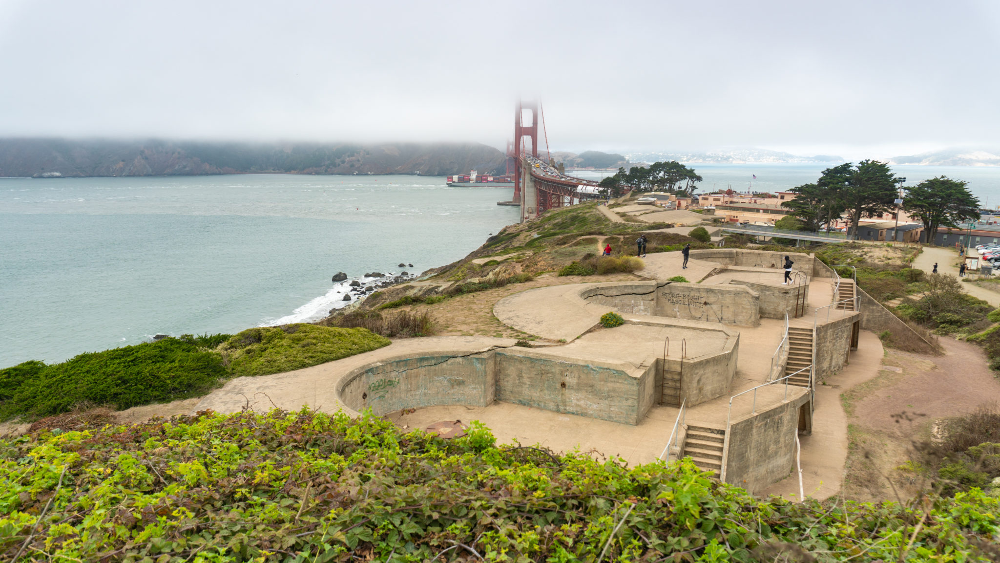
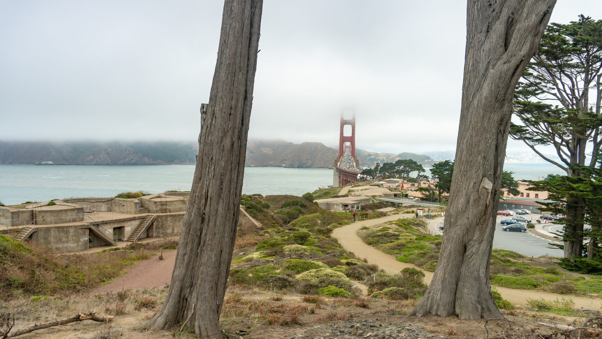
Start your hike by heading north to the Golden Gate Overlook. Here you’ll see a much-photographed view of the Golden Gate Bridge between two cypress trees. You can see the trails here leading down to Battery Godfrey and connecting to its northern battery neighbors. The benches and overlook area here were remodeled in 2012, along with the Pacific Overlook, to celebrate the Golden Gate Bridge’s 75th anniversary.


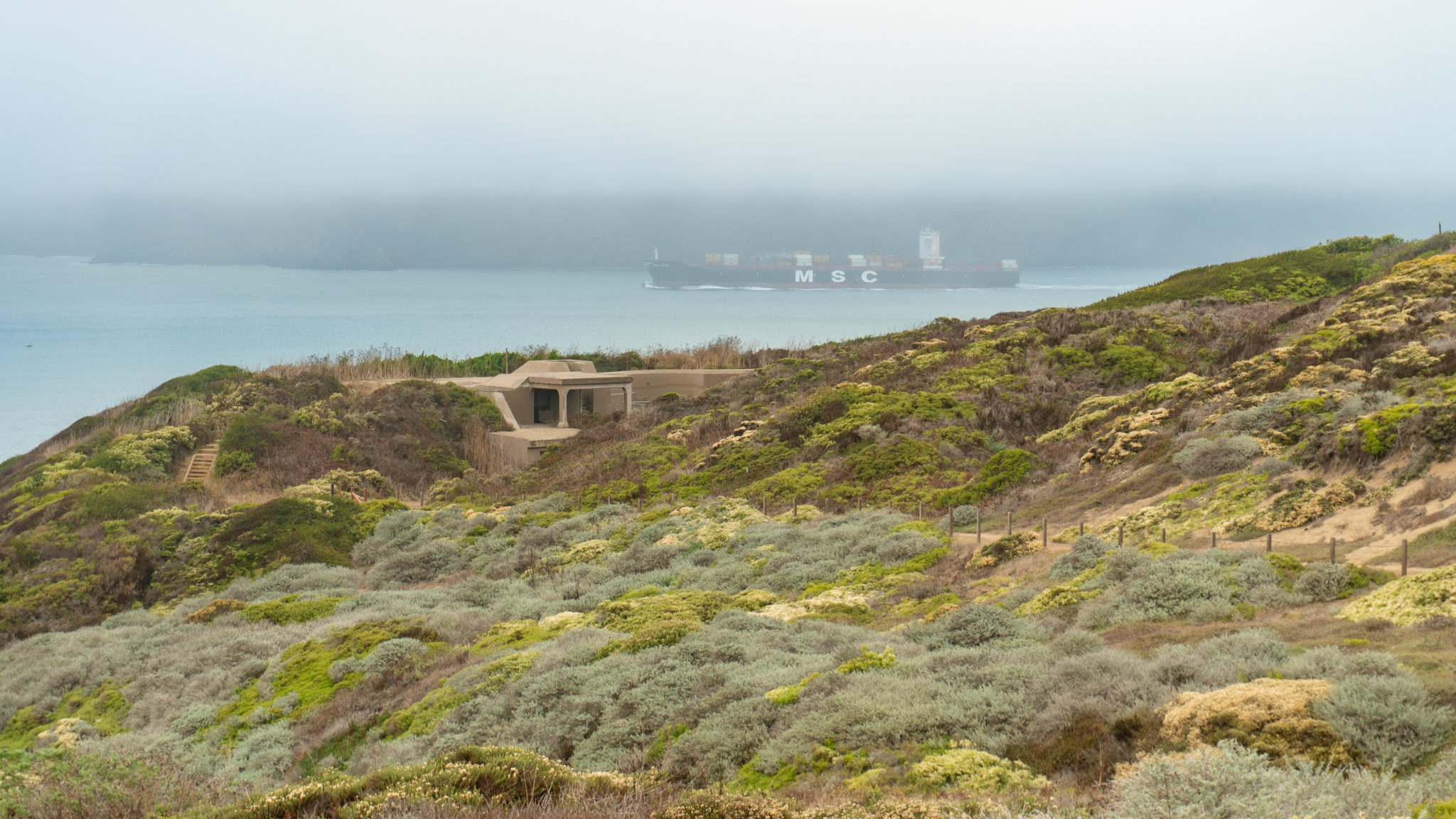
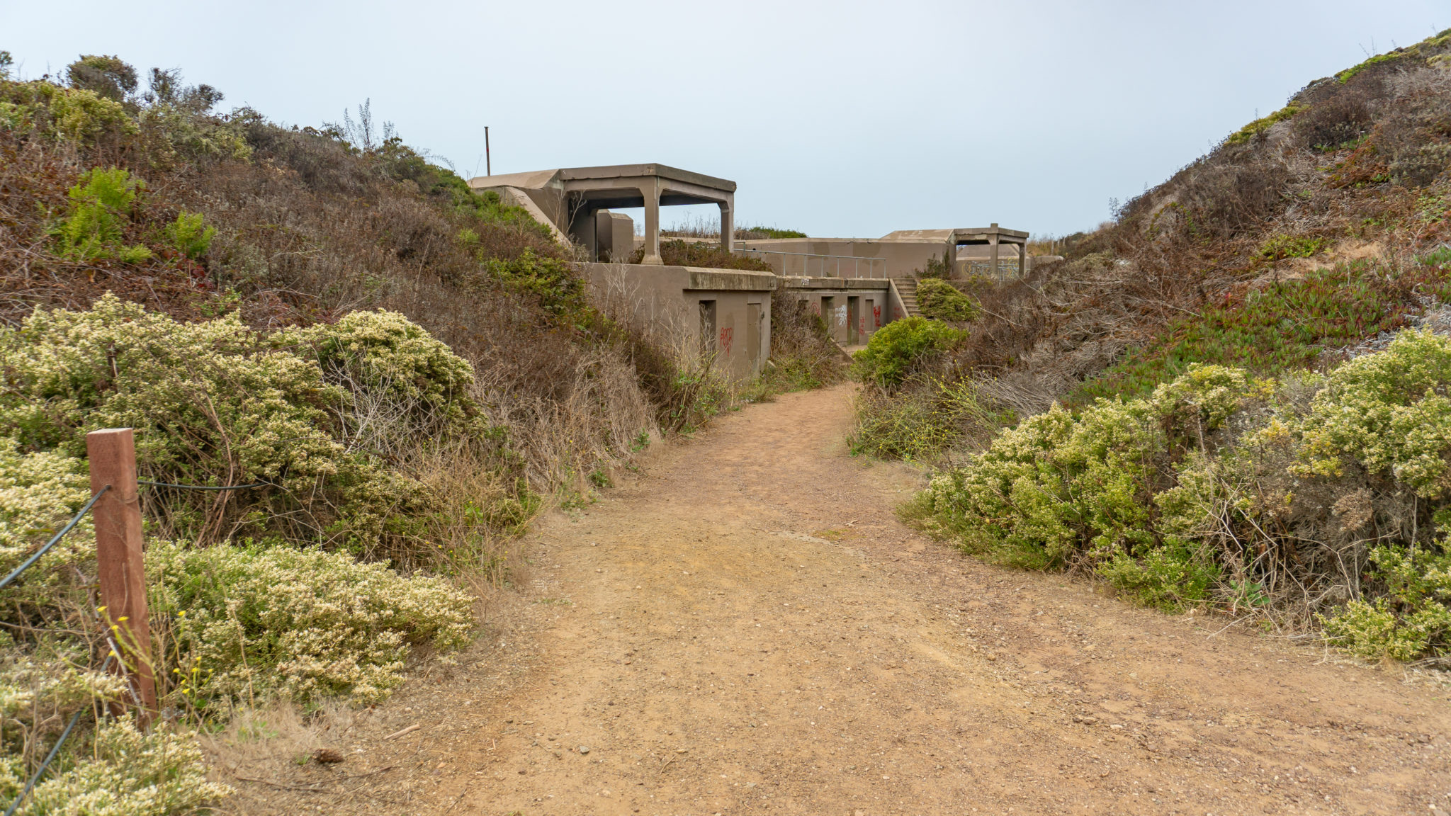
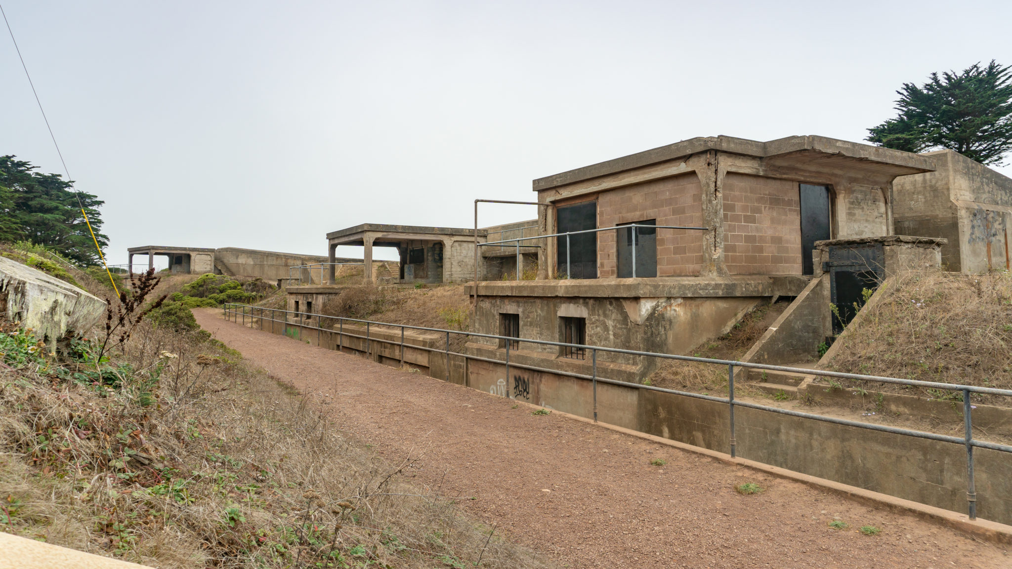
The concrete batteries once housed breech-loading cannons that were part of the U.S. coastal defense from 1891 to 1946. There were seventeen active “Endicott-era batteries” on the western edge of the Presidio. Endicott refers to William C. Endicott, who was the Secretary of War (a precursor to the Secretary of Defense) in President Grover Cleveland’s first administration.

In 1885, President Cleveland convened a joint board made up of Army, Navy, and civilian representatives called the Board of Fortifications. Led by Endicott, they analyzed the United States’s coastal defense and made recommendations for its improvement. The batteries were built as part of this overhaul to improve and modernize the United States’s coastal defense. They later became obsolete with advancements in nuclear weapons, aircraft, and submarines. In 1994, The Presidio officially joined the Golden Gate National Recreation Area, keeping good company with the Point Reyes National Seashore, Muir Woods National Monument, Alcatraz, the Marin Headlands, and many more historical, ecological, and culturally rich sites within the GGNRA.

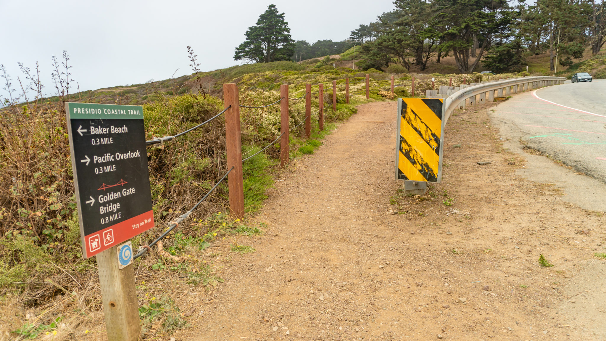
When ready, head south past Battery Godfrey to pick up the Batteries to Bluffs Trail near the southwest edge of the parking lot. The dirt trail is flat and level, coupled with overhanging pine trees and daisy-like aster. The brick door you pass by is an ammunition magazine, used to house ammunition for the battery.


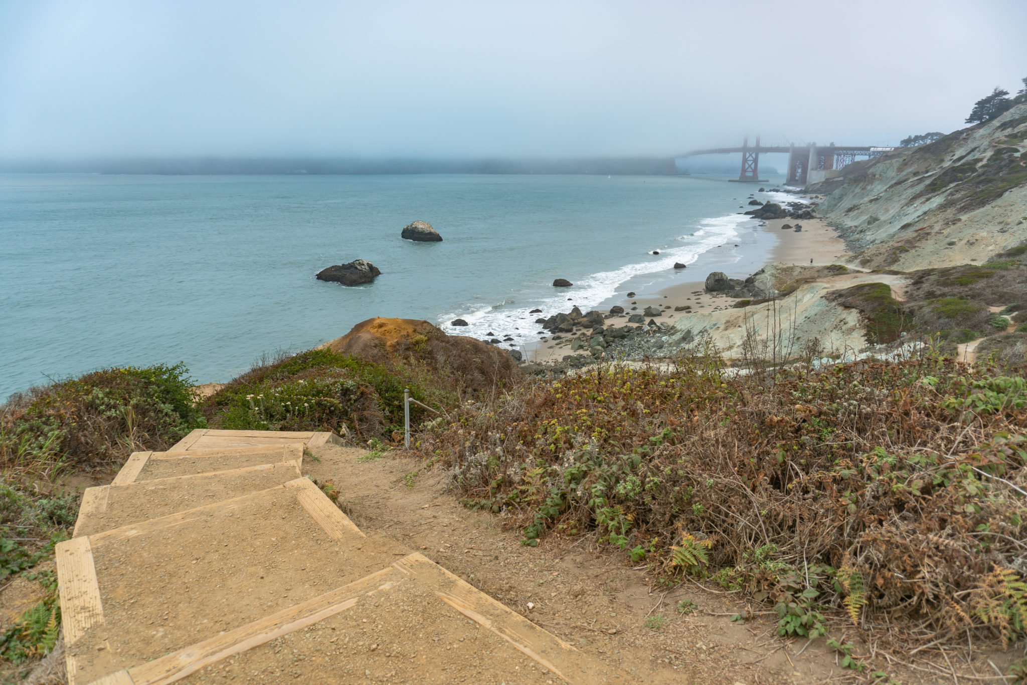
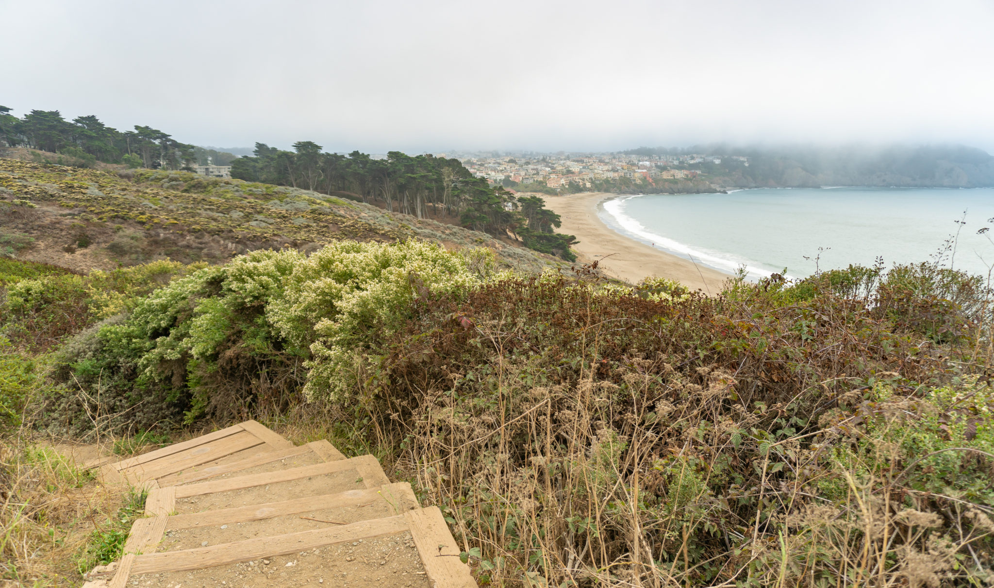
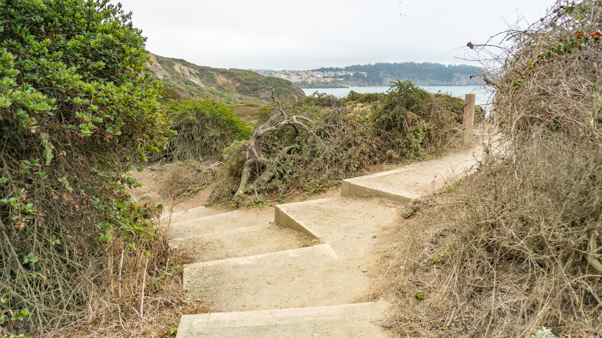
In 500 feet, turn right at a T-junction to continue south on the Batteries to Bluffs Trail. Descend the wooden stair-steps towards Marshall’s Beach and Battery Crosby.


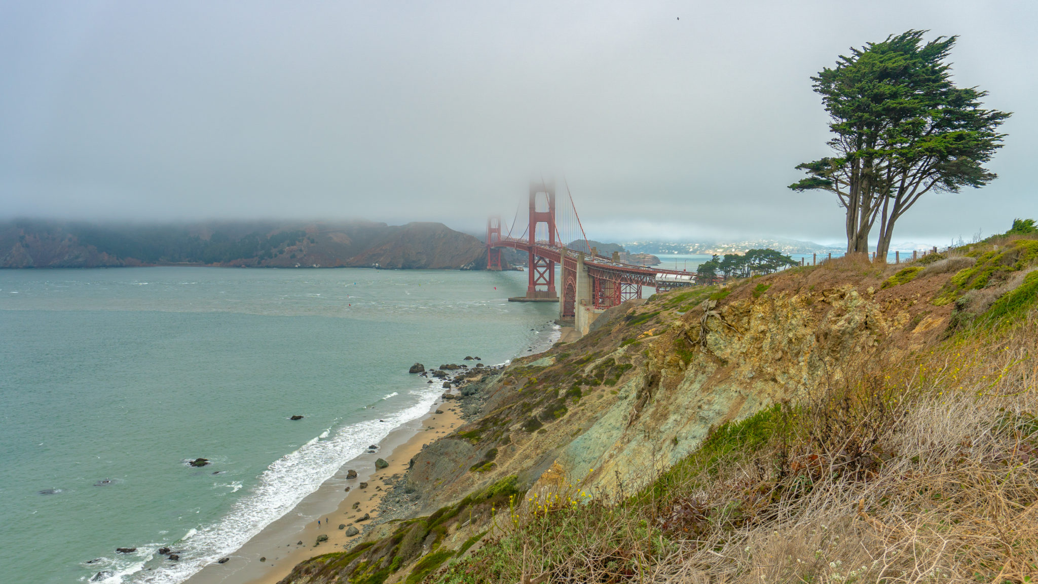
At 0.3 miles, reach an overlook. Marshall’s Beach is down below, Point Bonita Lighthouse to the west, and the Golden Gate Bridge to the north. The blue-green color you see on the bluffs is serpentine, California’s state rock.


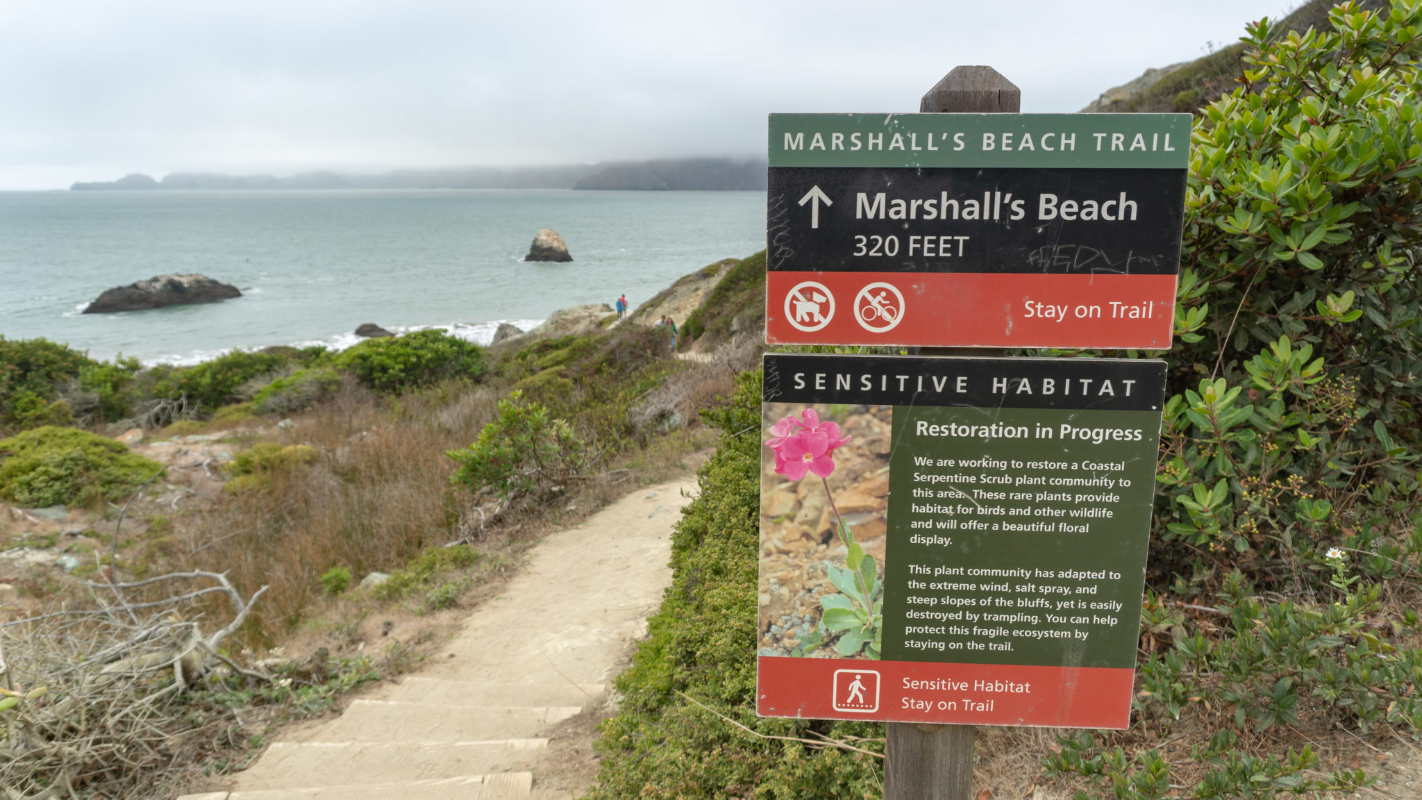
At the 0.5 mile-mark, reach a junction for the Marshall’s Beach Trail. Turn right and descend 30 feet to an overlook. The foreground of the beach stretches north to the Golden Gate Bridge. Return to the Batteries to Bluffs Trail, or descend another 20 feet to take a stroll on Marshall’s Beach.


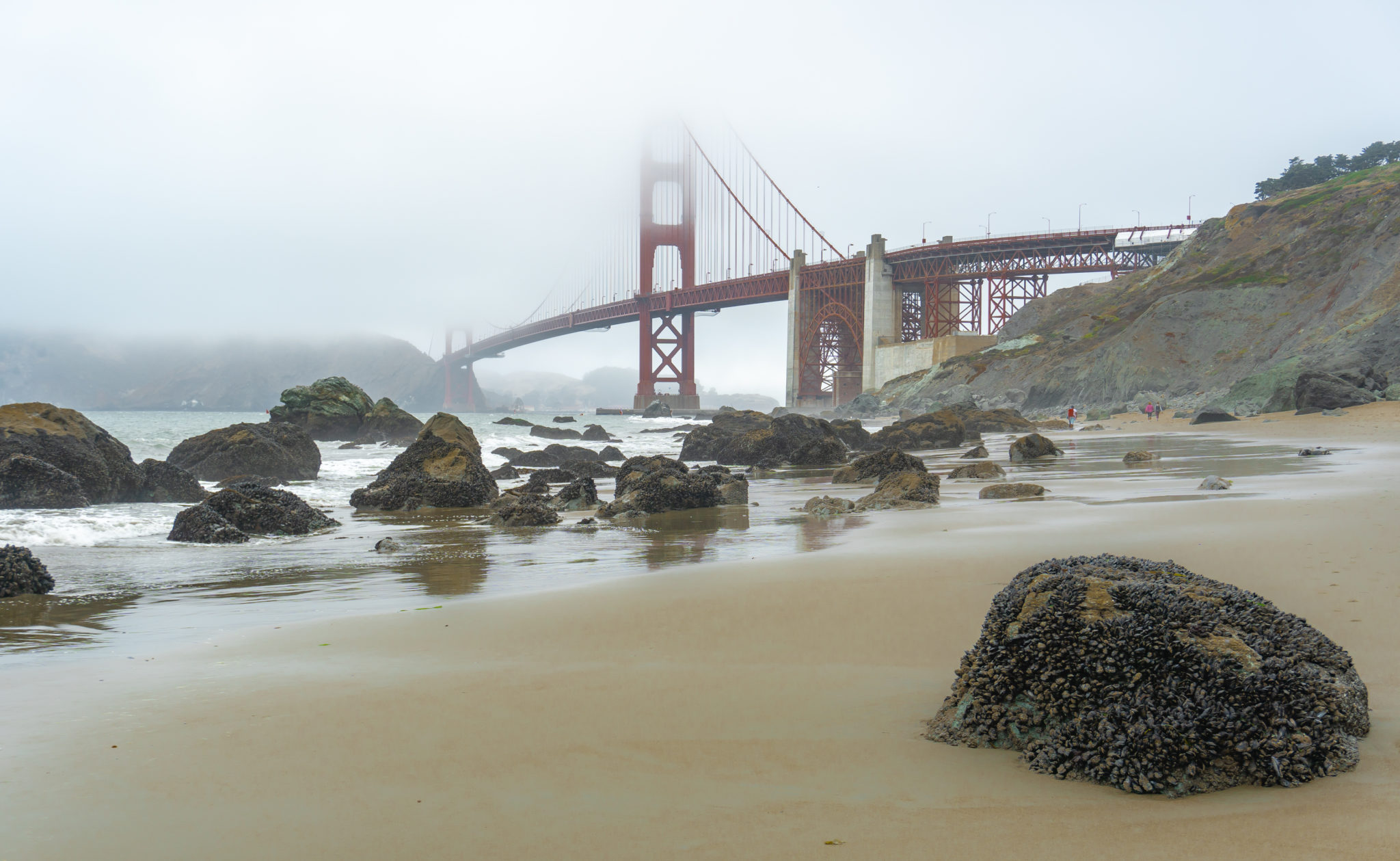
At low tide, you can hike for nearly 0.6 miles one-way along the beach. Time your hike for low tide and you can even go tide pooling. Low tide also helps you pass through a strip of rocks (seen in the photo above) to the northern part of the beach. At the very northern section of Marshall’s Beach, if you look closely and carefully, you may spot bright orange and purple starfish, along with fluorescent blue anemone.


When ready, return to the Batteries to Bluffs Trail. The trail bottoms out at Marshall’s Beach, so you will climb up 250 feet to the trail’s end at Lincoln Boulevard. Since there are ups and downs on this pendulum-swing hike, I’ve listed the elevation as 500 feet cumulative gain. Cumulative means that it takes into account all of the elevation gained on the trail—every rolling hill you climb—versus net gain, which measures the difference between the highest point and lowest point on the trail.

From the Marshall’s Beach junction, climb 130 feet over the next 0.2 miles on wooden steps to Battery Crosby. The battery’s name honors Lieutenant Franklin B. Crosby, who died in 1863 while fighting a Civil War battle in Chancellorsville, Virginia. The battery was completed in 1900 and was closed by the War Department in 1943. Like Battery Crosby, many batteries in The Presidio are named for fallen soldiers. Battery Godfrey, which you passed earlier in the hike, is named for Captain George J. Godfrey who was killed in 1899 in the Philippines.

Walk across the “ceiling” of the battery, then take the stairs back down to the trail. Turn right at an opening in the fence to climb up to Lincoln Boulevard. Baker Beach stretches out below to the south. There isn’t a direct trail linking Marshall’s Beach to Baker Beach, but once you reach Lincoln Boulevard, you walk 200 feet south and then take the Sand Ladder down to Baker Beach.


At the 0.9 mile-mark, the Batteries to Bluffs Trail ends at Lincoln Boulevard. To the south is Baker Beach and down below is a view of Battery Crosby. The options are incredible: You can head south to visit Baker Beach, go north to loop back to the Langdon Court parking lot on the Coastal Trail, cross Lincoln Boulevard on a pedestrian crosswalk to head east and explore The Presidio, or simply turn around and hike back the way you came.


Hiking back on the Batteries to Bluffs Trail is a treat, as you now have north-facing views of the Golden Gate Bridge. Snap your commemorative photos and selfies as the warm international orange brightens the lapis hues of Golden Gate Strait, aqua serpentine soil, and sandy yellow, olive green, and earth brown of the headlands.

Notes:
- There are no restrooms in the Langdon Court parking lot. The closest are across Lincoln Boulevard from the Langdon Court parking lot at Fort Scott Field.
- Parking is free at Langdon Court parking lot, and there is no entrance fee to hike the Batteries to Bluffs Trail.
- You can also park along Lincoln Boulevard south of the Batteries to Bluffs Trail here. Space is limited.
- Dogs are not allowed on the Batteries to Bluffs Trail.
Tags: beach access, california, Coastal Hikes, Golden Gate Bridge, san francisco, The Presidio


