Most of the montane lakes you are bound to come across, whether in Montana’s Gallatin National Forest or throughout the west usually inhabit high alpine or subalpine valleys. You generally need to expend a generous amount of effort to reach them, and often the hikes are so extensive that they are only conducive to backpacking. The Gallatin’s Albino Lake is a notable exception. Not only does it lie at a comfortable middle elevation (7,100′), but the effort to reach this beautiful lake are relatively trivial.
Gentle though the route is, a handful of cautions apply. Bears are active here, which leads to several precautions. To defend yourself in the event of an encounter with a bear, especially a grizzly, come equipped with bear spray. Leave the firearm at home since you have a higher likelihood of being injured or killed if you try to take a grizzly on with a gun.

You may also encounter moose. These delightfully singular/plural creatures, especially the female versions, can become aggressive if you spook them when they’re with their youngsters. A sound strategy for avoiding both large mammals is to hike later in the day; both moose and bears are typically most active in the early morning and late evening.
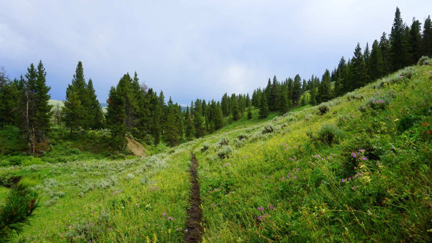
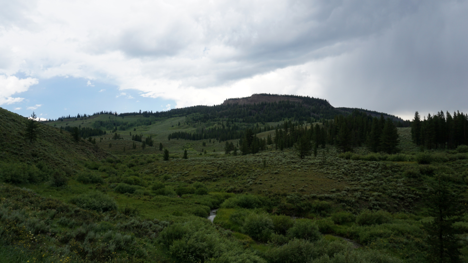
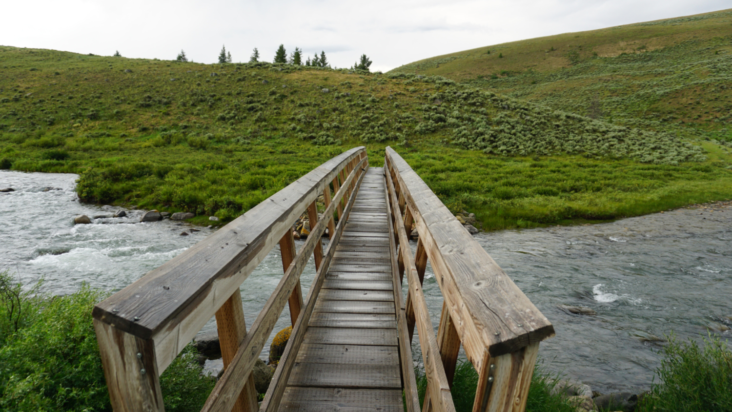
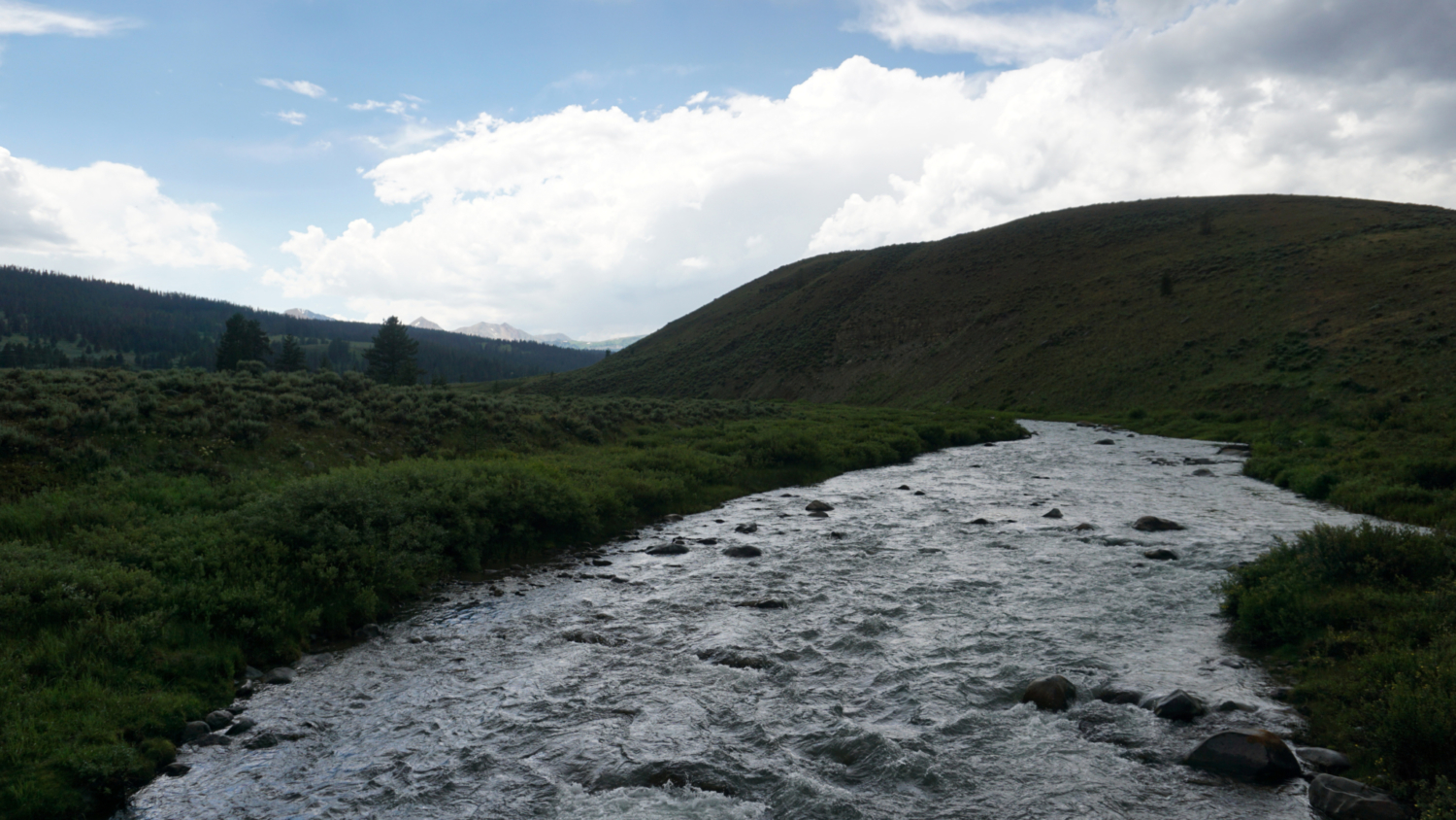
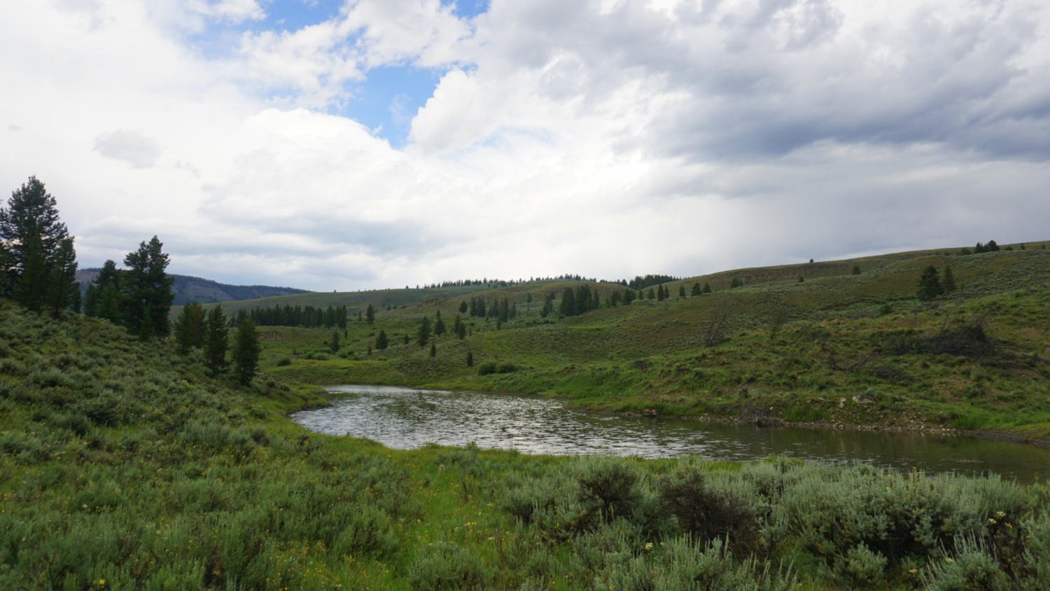
Starting out, follow the grassy, slightly overgrown tread northeast toward a bridge crossing the Taylor Fork of the Gallatin River. The wide grassy valley around you swells to rolling hillsides carpeted in lodgepole pines. The Taylor Fork rumbles along underfoot and soon behind you as you approach and then enter the narrow gateway to Meadow Creek’s broad valley. The trail sidles along the meandering creek, working generally uphill through spacious meadows dotted liberally with Great Basin sagebrush and somewhat less liberally with the occasional lodgepole pine and Engelmann spruce. Occasional wooden pillars mark the trail for winter travel.

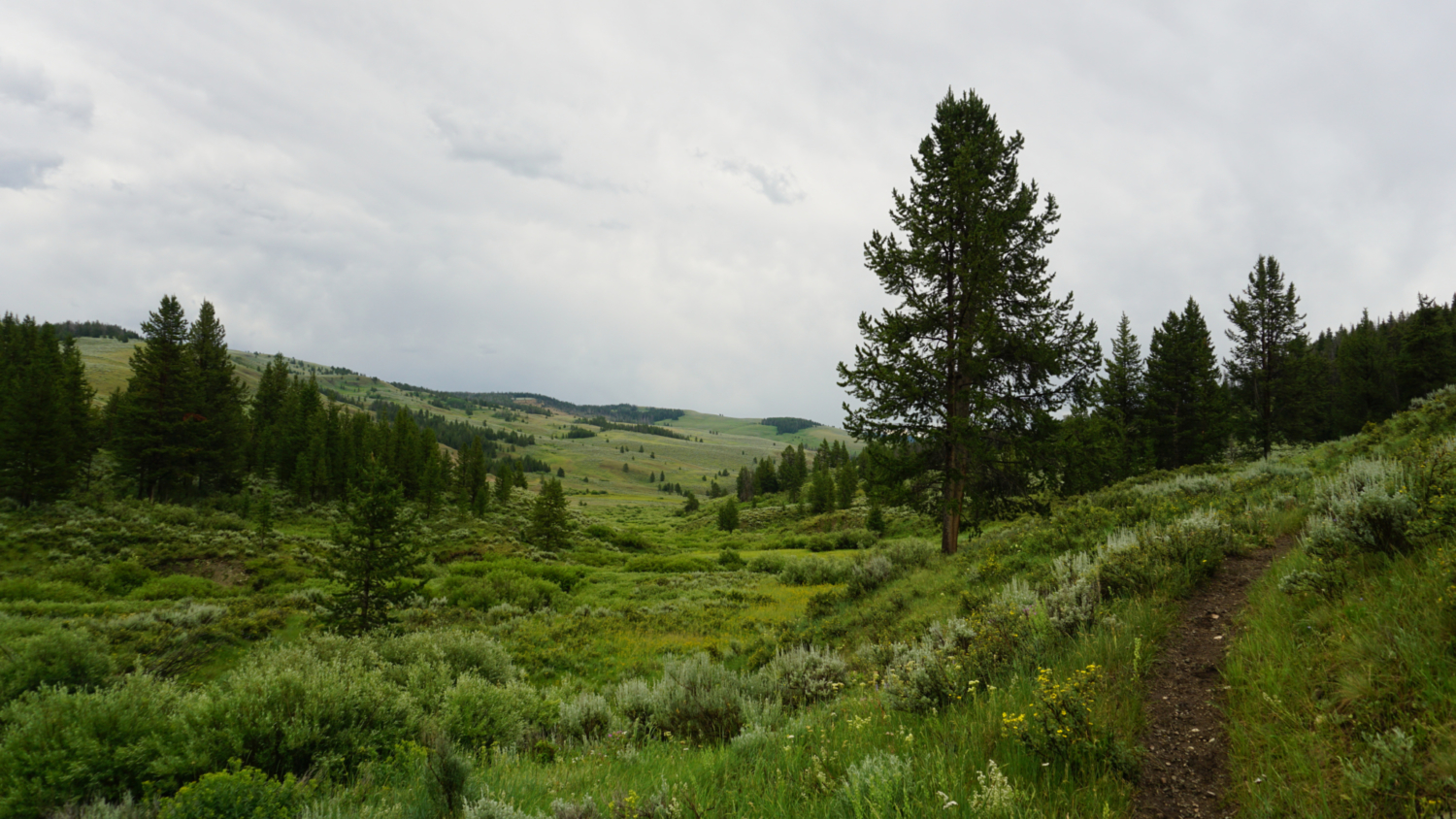
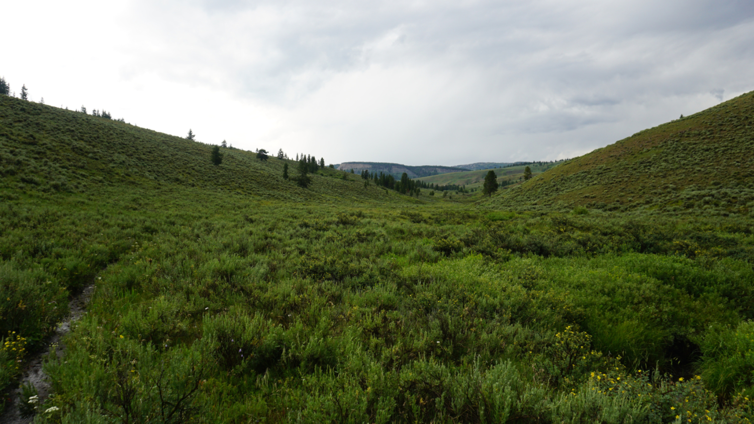
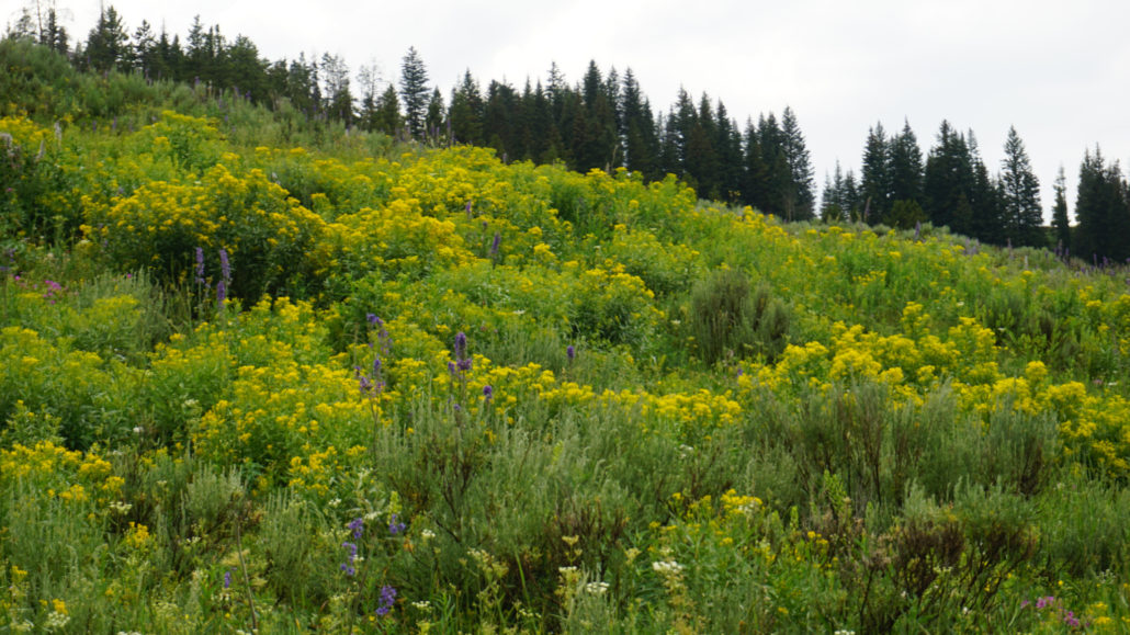
The trail continues a gentle ascent until the 1 mile mark where it climbs up and over the bank of a small lake. The rounded hulk of Lincoln Mountain swells on the left as tree cover becomes a bit more present, albeit inconsistent. Beyond the first lake, the trail undulates through beautiful hillsides that come alive with a bevy of wildflowers during early summer. At 1.5 miles, the trail makes a pronounced curve to the northwest as it resumes a gentle climb past more patches of forest while occasionally dipping down to the banks of the creek.

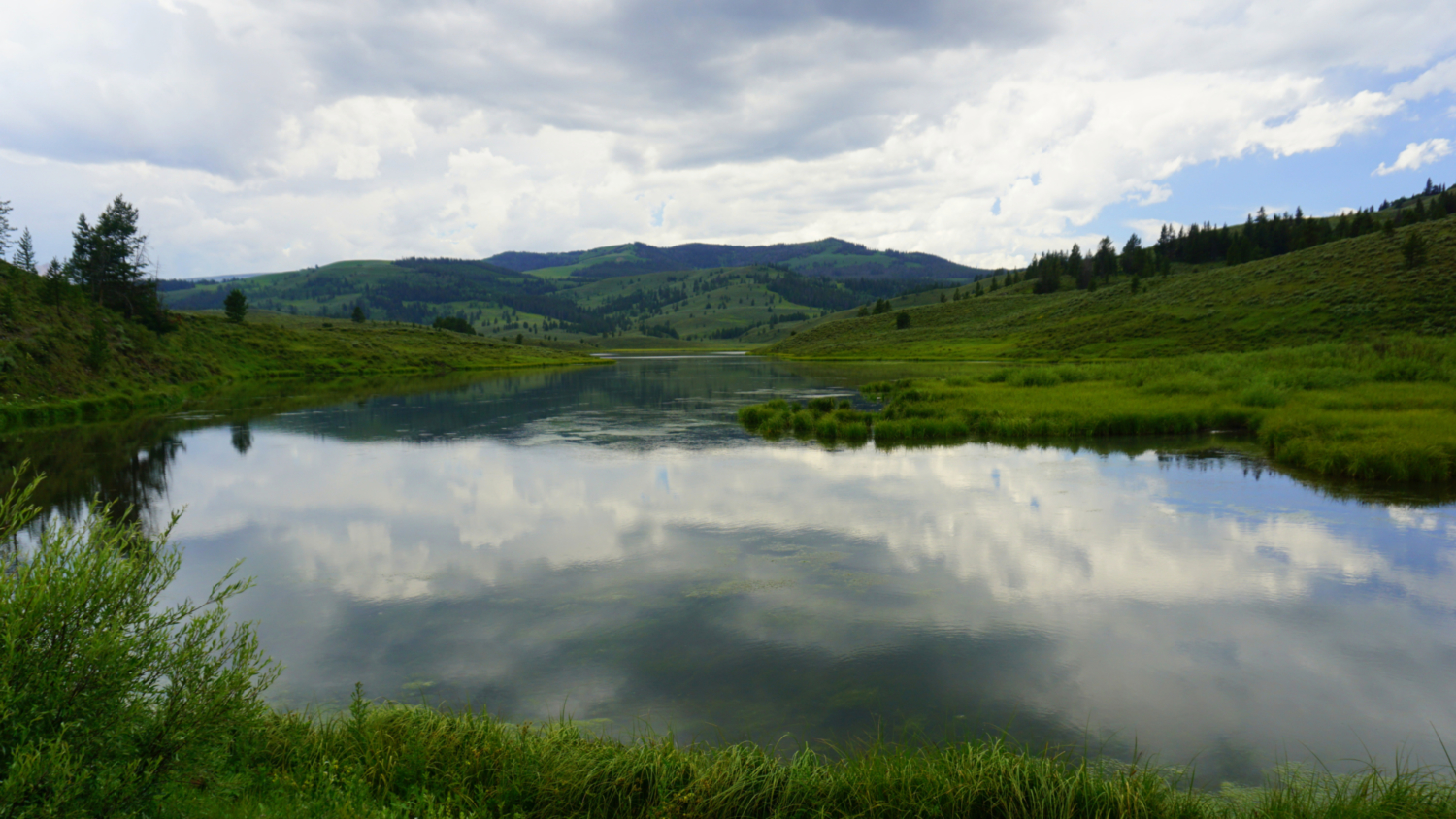
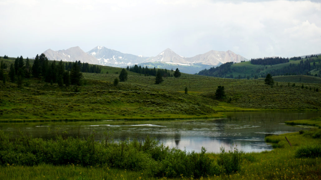
After cresting the route’s high point at 2.2 miles, the trail next drops down briefly before rising up to the eastern banks of Albino Lake at 2.5 miles. The narrow lake lies in a broad, grassy hollow in the shadow of gently swelling forested slopes. Off in the distance to the southeast, the towering ramparts of the Taylor-Hillgard Ranges offer a tantalizing glimpse at the Montanan high country.

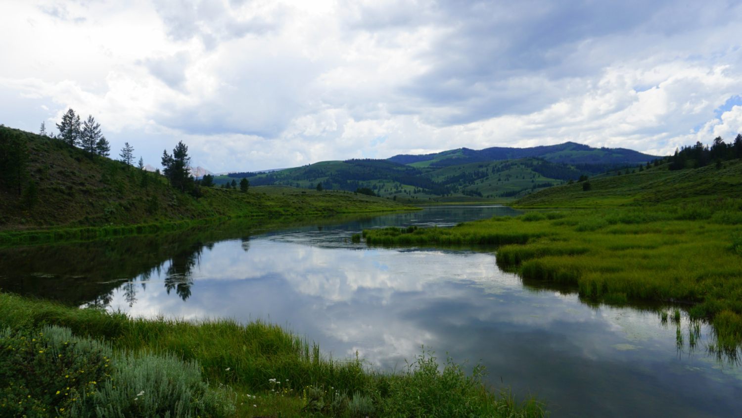
The trail continues to wrap around the north edge of Albino Lake before merging with a north/south trending trail about .25 mile west of the lake. If you were so inclined, you could continue to this junction and turn left to follow the trail and a few dirt roads back to Taylor Fork Road. From there, you could turn left to walk back to the trailhead. Otherwise, retrace your steps back to the Taylor Fork and beyond to Lower Wapiti Trailhead.
Tags: Albino Lake, Gallatin National Forest, Gallatin River, Lower Wapiti Trailhead, Taylor Fork Gallatin River