A few years back, the team at Summit Terragraphics sent me a sample 3-D relief map of Southern California. That image still hangs in my apartment – a way to both inspire me to get out and explore and a great geographic reference. Now the team is back at it again with a map of the Mount Whitney Zone.
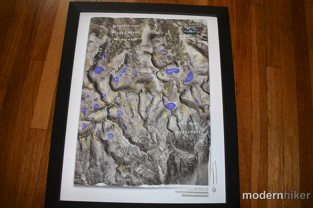
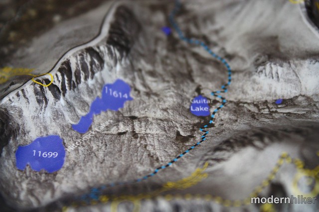
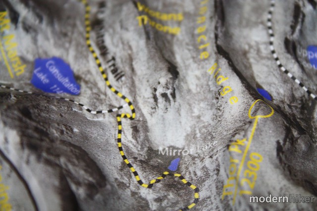
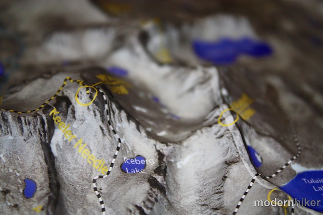
This map’s central feature is, naturally, the Mount Whitney Zone. The main Mount Whitney Trail is marked, as are the Mountaineer’s Route, the John Muir Trail, and many other Class III mountaineering routes in the area.
Summit Terragraphics says the maps aren’t meant to be used for navigation, but I definitely lost myself in it for a while remembering my time in the area. It’s pretty cool to be able to get such a great overall perspective on that incredible landscape. Much in the same way the SoCal Map keeps me looking for new adventures, I have a feeling the more I look at this map, the more likely I am to book another expedition in the Sierras.
The Mount Whitney Maps are 15 inches tall and 11 inches wide unframed. Mount Whitney itself has about 2 and a half inches of vertical relief on the map. You can buy the maps framed or unframed at the Summit Terragraphics web site, the Whitney Portal Store, or at Adventure 16s.
Tags: Hiking, maps, mount whitney, relief map, summit terragraphics