Yesterday, the team at EveryTrail announced a new partnership with the California State Parks Foundation to produce a new, free iPhone app for California’s State Parks.
I first wrote about EveryTrail last January. Since then, they’ve continued to add improvements and features, and now if I’m going on a short hike I actually prefer using it over my dedicated GPS.
The CalParks app has all of the features of the free EveryTrail app, but is packed full of tips and information on California’s state parks – provided by well-traveled trail enthusiasts (including yours truly!). It’s pretty dang easy to use, too.
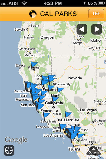
When you fire it up, you’ll get a full-on map of all the state parks in California:
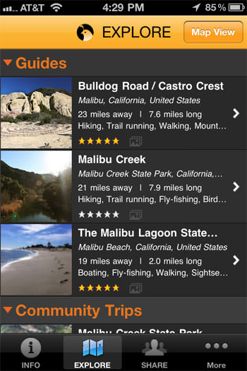
From there, you can either tap on the park or area you’re looking for, or automatically get a list of the closest parks to you, too – useful when you’re on the road and just can’t fight that urge to hit the trail.
When you choose a park, you’ll see a full description of the area, often with helpful tips about when to visit, what types of wildlife you can expect to see, and what types of activities you can do in the park. Some of the more historical-minded guide writers have even included detailed accounts of the parks’ pasts.
From there, you’ll be able to see both the community-written trails and the downloadable guides and browse them online or download to store them on your iPhone – including maps, waypoints and photos. Right now, all downloads are free – you don’t even need to sign up for an EveryTrail account or anything – but I’m not sure if that’s a permanent thing or not.
You can also see the guided routes on a Google Map, if you’re so inclined.
No word on whether or not the app will be available to Android users, but EveryTrail does have apps for multiple platforms so it’s definitely not outside the realm of possibility.
UPDATE: An Android version is already in the works, although it most likely won’t be available for a few months.
Download the CalParks app from iTunes here.
Tags: california, calparks, everytrail, Hiking, iphone, Los Angeles, state parks


