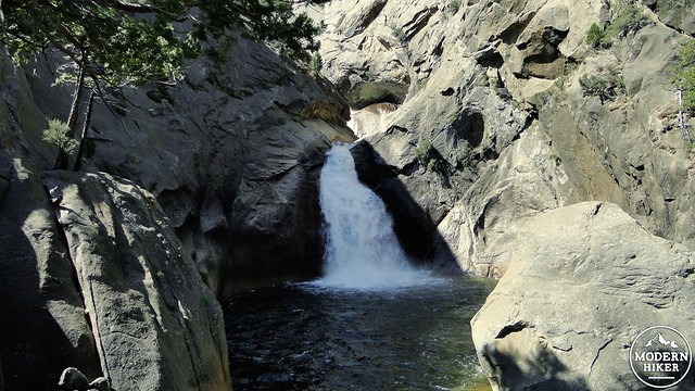
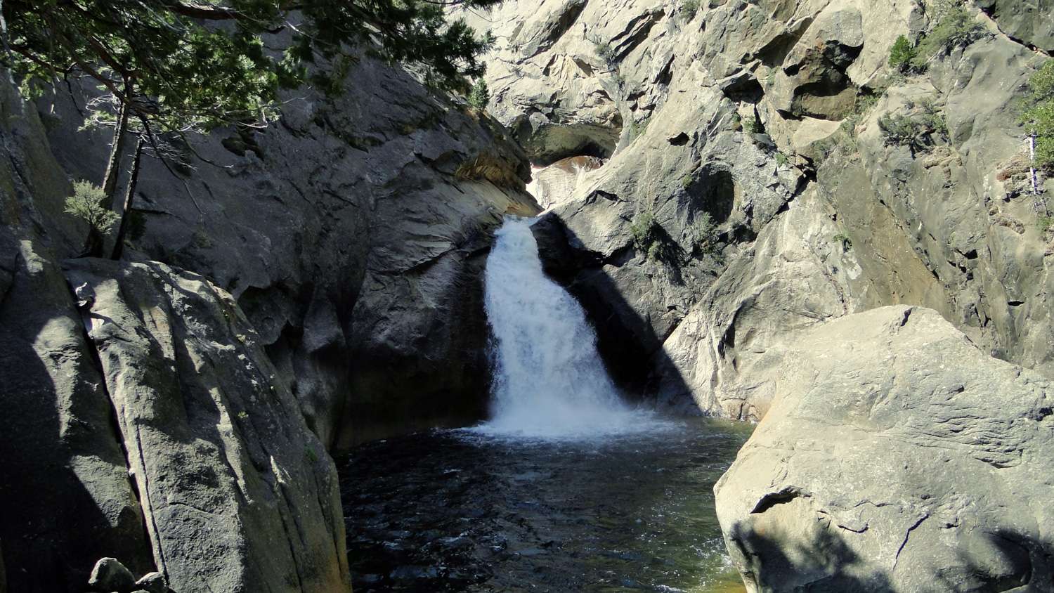
About a few miles west of Zumwalt Meadow, the Roaring River spills its contents over a 40 foot ledge before merging with the Kings River. The unexpectedly ferocious Roaring River Falls (at least in a wet year) kicks up abundant mist and churns ups the water within a beautiful granite “bowl.” These popular falls are easily accessible via an access trail, but a longer hike from the Zumwalt Meadow trailhead creates a nice riverside hike to a great destination.
The Roaring River drains the region south of Silliman Crest in Sequoia National Park and west of the Sphinx Crest in Kings Canyon. While this watershed is technically part of the larger Kings River watershed, the Roaring river accumulates enough run-off from creeks and lakes in the Jennie Lakes Wilderness and the Mt. Silliman region to qualify as a river. If your curious about the distinctions between different types of watercourses, remember that streams drain into creeks, while creeks drain into rivers, with rivers draining into the ocean. Technicalities aside, the river produces a healthy flow of water, even during drought years.
You can reach the falls from an asphalt access trail that connects to a large parking lot just off the highway. This 100 yard access trail is good for people with less inclination or ability for hiking. However, this write-up assumes that you are looking to take a hike and will therefore detail a route that departs from the nearby Zumwalt Meadow Trailhead. This 4 mile hike can be taken in conjunction with Zumwalt Meadow, or it can be taken alone for a moderate trek through recovering forest, meadows, and along the Kings River.
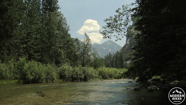
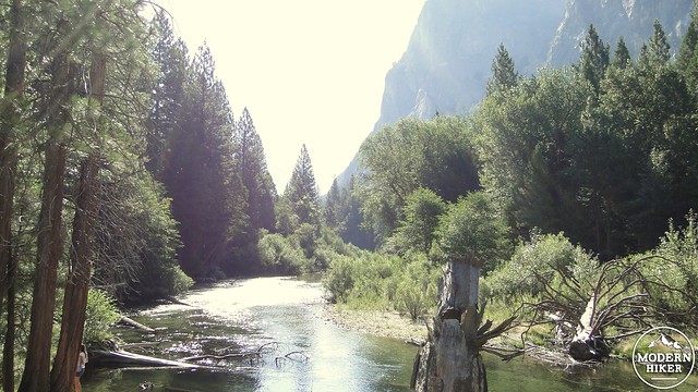
The trail departs from the parking lot and travels along a short segment of the Kings River. You’ll notice a number of side trails that lead down to the river’s edge where swimming and wading are popular activities when the water is calm. The trail will come to a large steel bridge spanning the Kings River. Turn left and cross the bridge. To the left is a large sand/pebble beach that is often full of families splashing in the water. You will quickly come to a junction here: turn left, and you will head to Zumwalt Meadow. Turn right to continue to the falls.
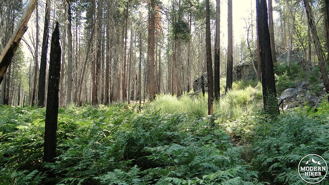
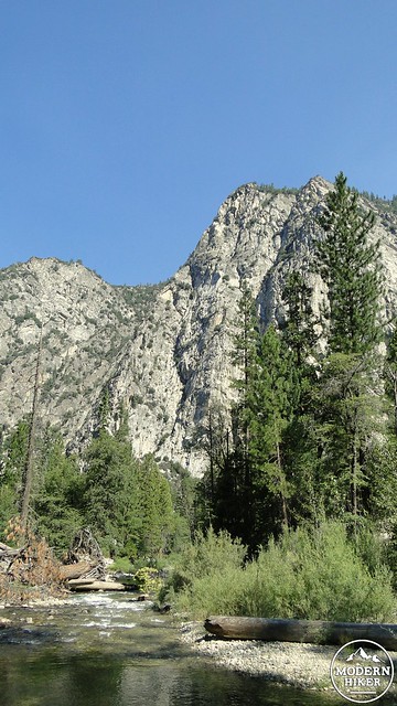
After the junction, the trail will plunge into a forest of ponderosa pine and incense cedar. The Kings River will be flowing on your right as it either produces a melodious drone in late season or a deafening roar in peak run-off. Sometime in the recent past, a fire blazed through this section of the forest, and you will soon be walking through recovering forest. You’ll see your fair share of burnt out trees, but many of the trees survived with superficial damage. The reduction in forest canopy means an increase in sunlight reaching the forest floor, which has allowed dense patches of ferns and other lush vegetation to proliferate.
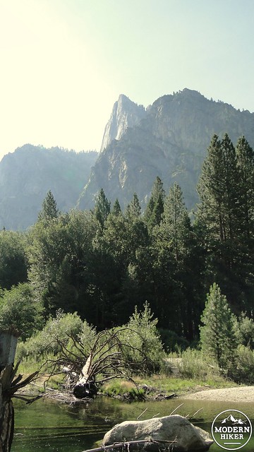
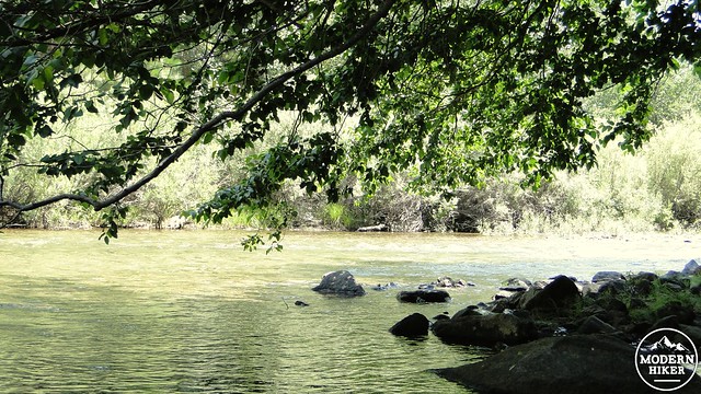
Mixed in with these patches of recovering forest are stretches along the banks of the Kings River. The banks are a little too severe and the river’s floor a little too rocky to make for comfortable swimming here. With all of the rocks, the Kings produces some minor rapids that would be dangerous for wading. However, there are numerous sandy spots from which to sit and enjoy the sound and sight of the river flowing down toward the Central Valley.
The trail will come to a sudden, sharp descent that drops down into a broad, sunny, and dry patch of forest with a rich understory of manzanita. Through large gaps in the forest’s canopy, you will be able to see the gorge of the Roaring River, and you might even be able to hear the river thundering over the falls. After a brief section of climbing, the trail will come into a rocky area near a junction with the asphalt trail that leads back to the road. Turn left, and continue toward a nice viewing area for the falls.
This viewing area is separate from the flat, paved, fence-off viewing area on the other side of the river to the right, which is visible from your vantage. This viewing area includes a large field of boulders sloping down into the pool below. The falls will be directly ahead, thundering over a ledge and filling up its granite bowl with a roar that ranges from loud to deafening depending on flow. A few ponderosa pines emerge from this rocky field, and there should be enough flat boulders from which you can soak in the site of the waterfall and perhaps get cooled down by the spray drifting away from the falls.
If you wish, you can retrace your steps back to the junction on the asphalt trail to walk toward the road to access the viewpoint on the opposite side of the river. This viewpoint will offer a different view, but it will not be as close as the current vantage point. When you have finished enjoying the waterfall, you will retrace your steps back through the forest and along the river to the bridge, which you will cross after turning left (unless you want to stop by Zumwalt Meadow and add a mile to your hike). After the bridge, continue right to return to the car.
The sandy/pebbly area just to the left of the bridge is a great place to relax and soak in some sun, as well as splash around the river when the water is low. You are unlikely to have the area to yourself, as this area is a very popular stop for hikers and water-enthusiasts. Still, wading out into the Kings on a hot summer day is a wonderful way to cap off a hike.
Note:
– Burned trees commonly topple, often falling onto the trail. Occasionally, downed trees will make navigation through the middle of this route a challenge.
Tags: Cedar Grove, Kings River, Roaring River, Roaring River Falls, Zumwalt Meadow


