Growing up in the San Gabriel Valley, The Arroyo Seco holds a special place in my heart. Spanish for “dry gulch”, I would visit this Pasadena jewel often to find respite from my usual urban daily life. In fact, the Lower Arroyo Seco Loop was, and still is, one of my favorite running routes. However, I had never taken the time to slow down and properly experience this popular 2.8-mile trail until working on this guide. Truthfully, it took me this long because it doesn’t have anything spectacular to offer – there is no majestic goal, jaw-dropping viewpoint, or interesting historical significance. Still, I found myself truly enjoying my time outside. And that’s because this trail gives hikers something that larger and grander hikes can’t – a new perspective. On the wildland-urban interface, subtly beautiful moments that are easily missed, and an appreciation for the journey apart from a destination.
While the parking lot abutting the trailhead is reserved for San Pasqual Stables patrons, there are plenty of spots along the street or in the lot next to the nearby baseball fields. Here, you will also find water fountains, several bike racks, and during Little League games, an open snack stand.

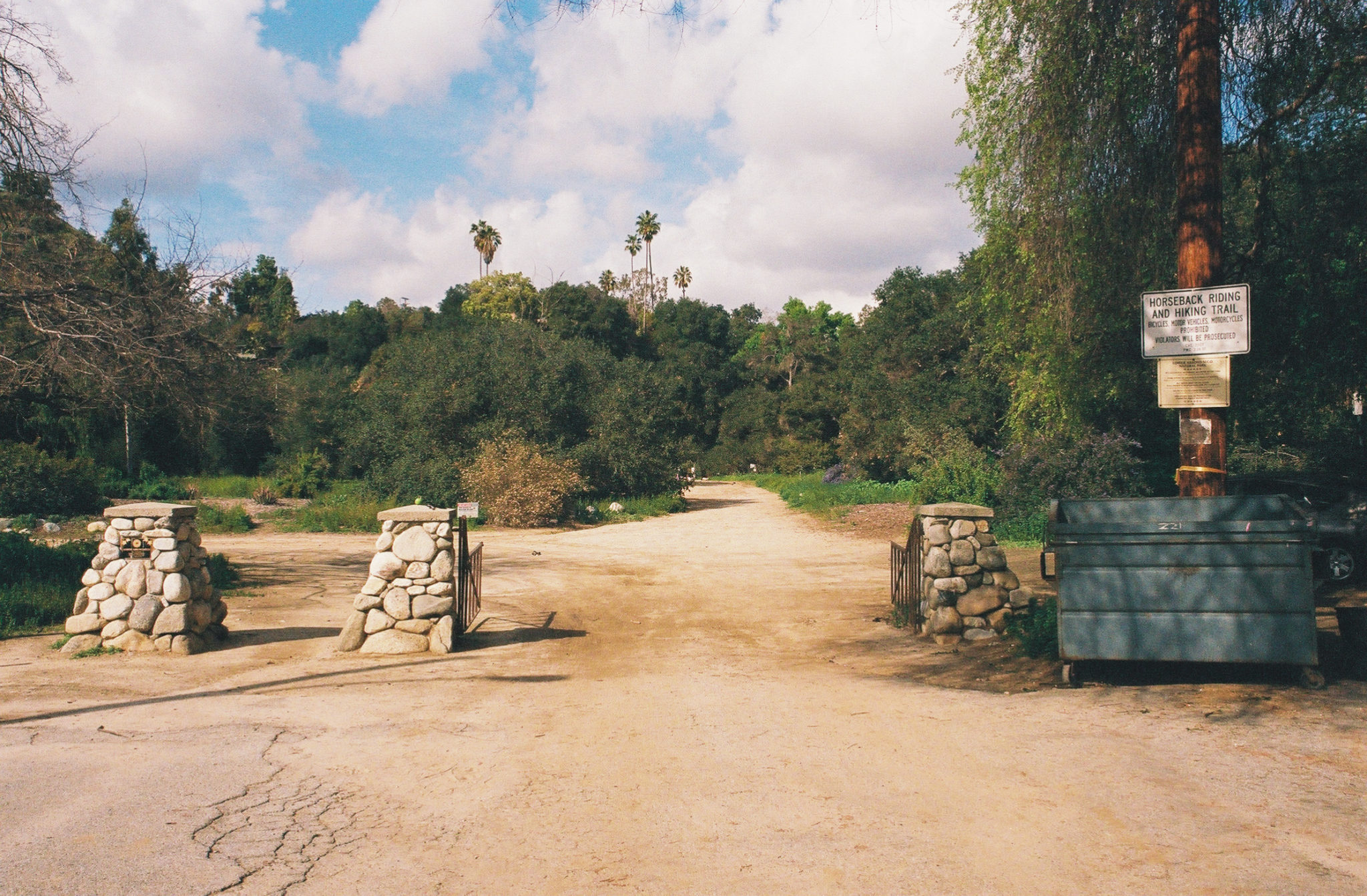
The Lower Arroyo Seco Loop Trailhead.
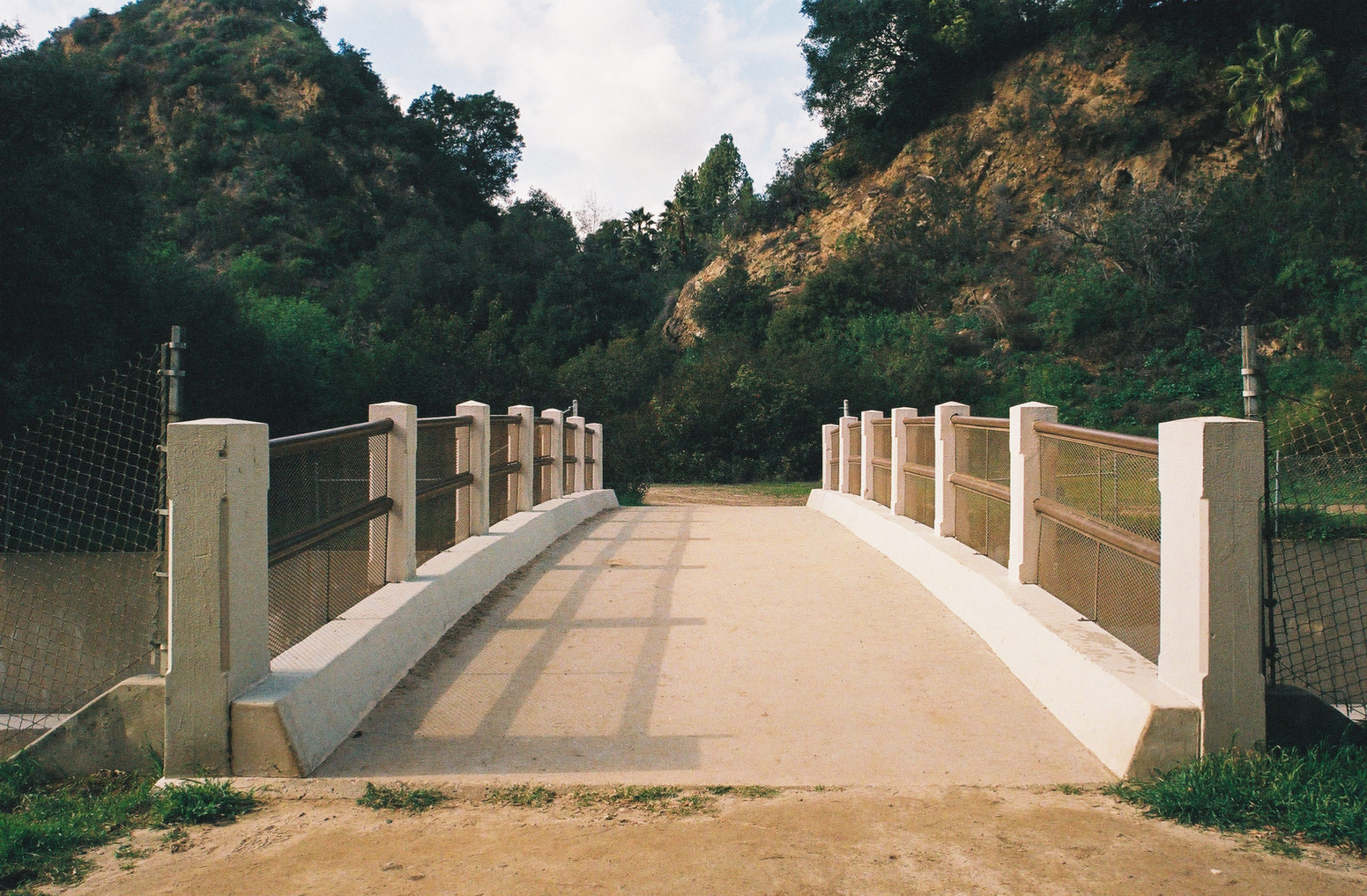
To find the trailhead, walk to the north end of the San Pasqual Stables parking lot. Almost immediately you’ll encounter a bridge that crosses the Arroyo Seco River, this park’s namesake and the start of the loop. While I decided to cross the bridge to hike this trail clockwise, it is easily completed in either direction.

The first of two bridges spanning the Arroyo Seco River you will walk across.
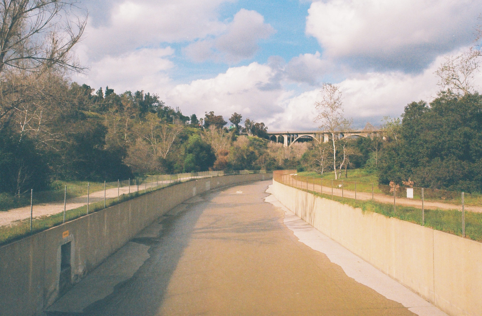
This trek mostly hugs the river, although don’t expect to get close to the water – a fence separates you from the concrete-encased channel. At 0.2 miles, you will walk under the San Rafael Avenue Bridge. It is a little surreal and humbling to view its underbelly up close. Also, every so often you’ll notice the multimillion-dollar houses of northwest Pasadena rising above the canyon walls – a reminder of how close you are to the suburban sprawl.
The main trail follows the path of the Arroyo Seco River.
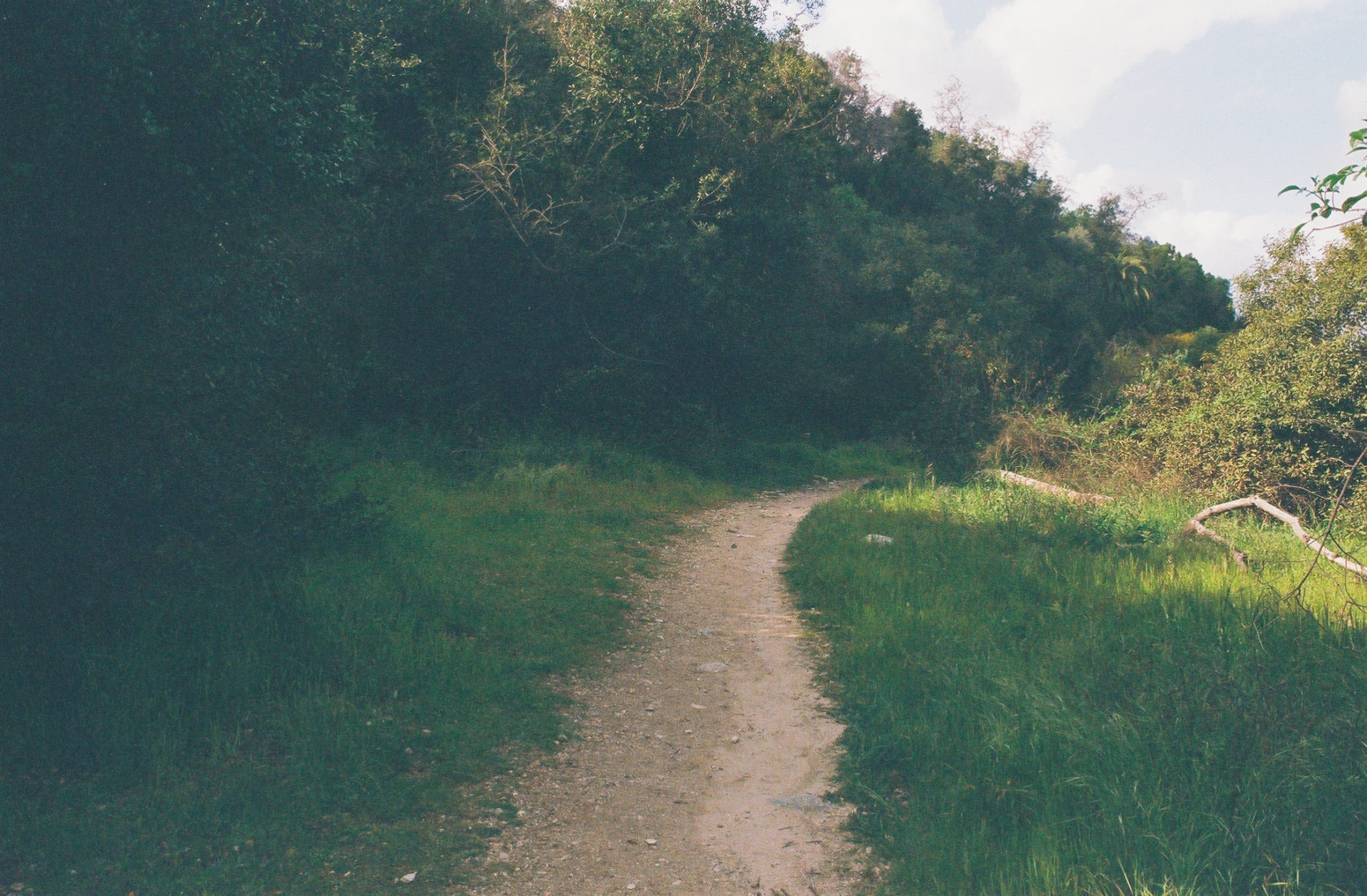
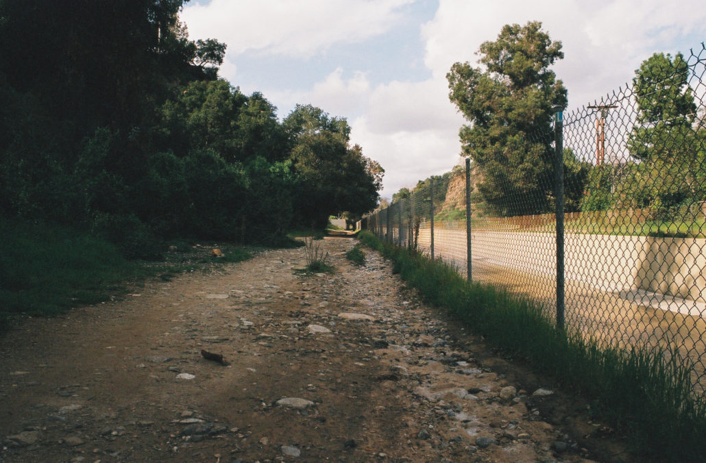
This section of the trail is a long straightaway along the canyon floor, which during the middle of the day is exposed and can get very hot during the summer months. At 0.4 miles, you can head left to take the first of several alternate trails that weave away from the main path. I opted to take these throughout my hike, as they gave me moments of solitude and a more complete experience of the Arroyo Seco.

Taking an offshoot trail offers a less industrial and more quiet experience.
Stepping away from the river, your surroundings feel less artificial as an interesting mix of Mediterranean chaparral, seasonal blooms, and palm trees replace the concrete and fencing previously visible. And if you find yourself on this trail after a winter rainstorm, expect to be treated with an abundance of wildflowers. In this section, White Bryony, Long Leaf Waddle, and Golden Currant were blooming. I was also pleasantly surprised at how well the churning water drowned out any sounds of vehicles driving above me.
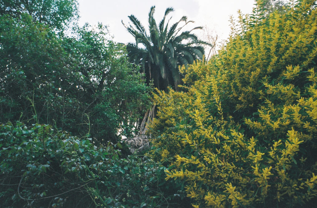
A Palm Tree hiding behind blossoming White Bryony and Longleaf Wattle plants.
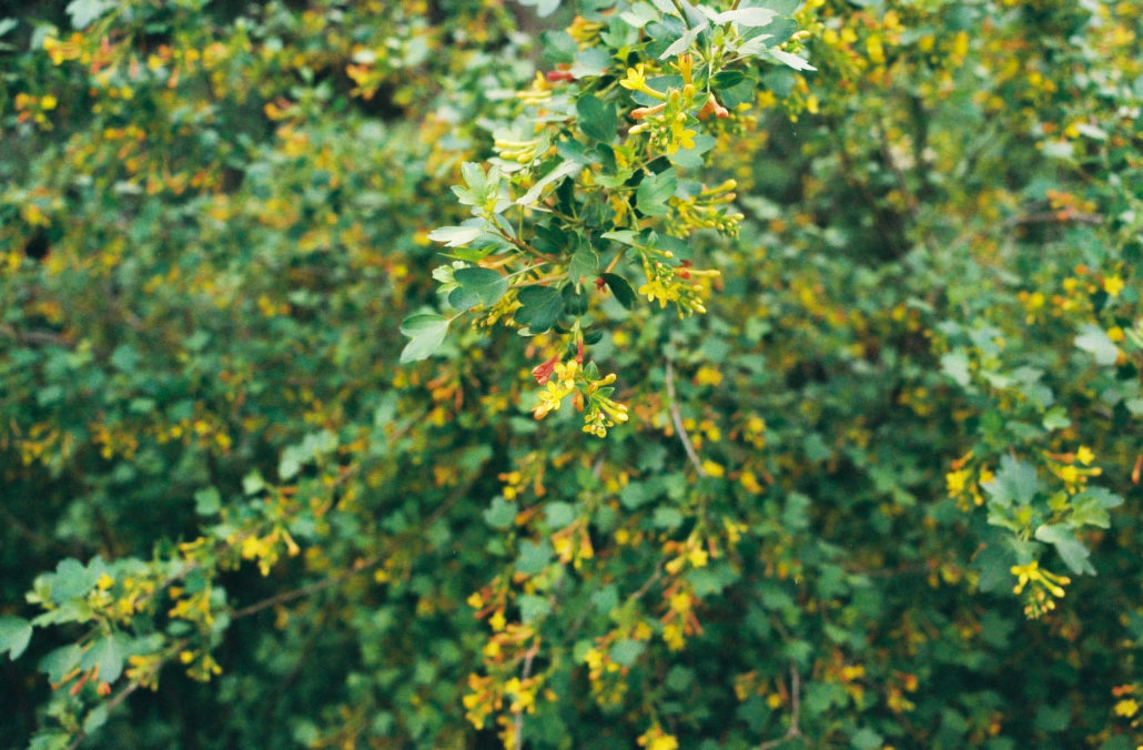
Golden Currant in bloom after SoCal’s many rainstorms this winter.
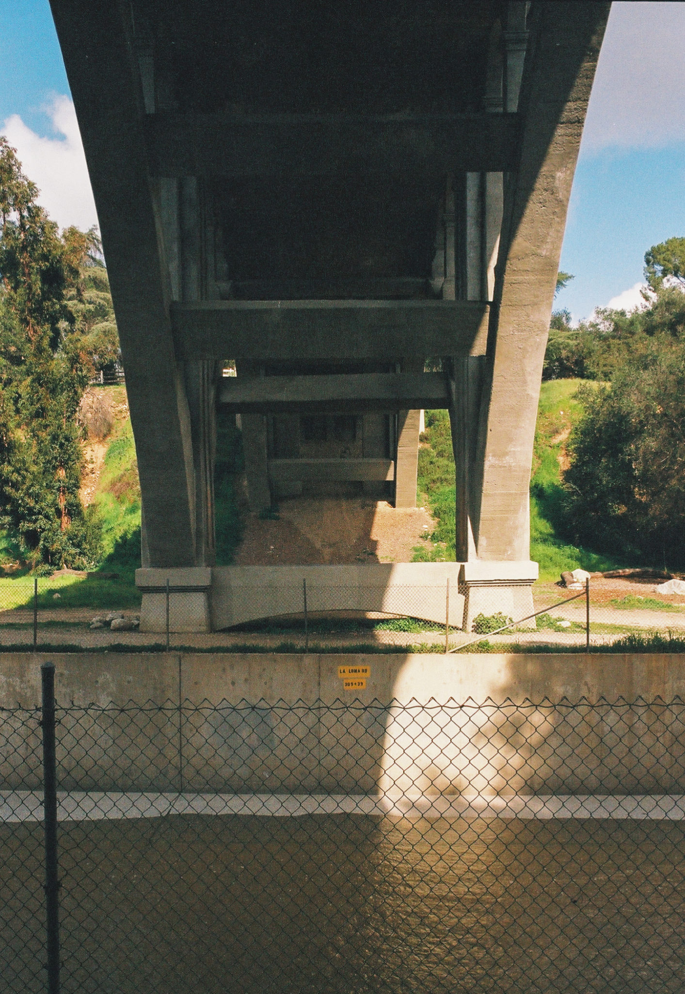
At 0.7 miles, you will rejoin the main trail just in time to head under the La Loma Bridge. Then 0.2 miles later, another offshoot trail will reveal itself to you.

The La Loma Bridge from below.
Taking the alternate path, you will begin to see aggressive but appropriate signage warning you to stay on the trail, as you are now approaching an archery range and the home of the non-profit Pasadena Roving Archers. “Dedicated to the art of the bow and arrow in the Lower Arroyo Seco since 1935,” this organization hosts a myriad of classes and tournaments for those of all skill levels. Hiking this trail on a Saturday afternoon, I saw many archers practicing their craft.
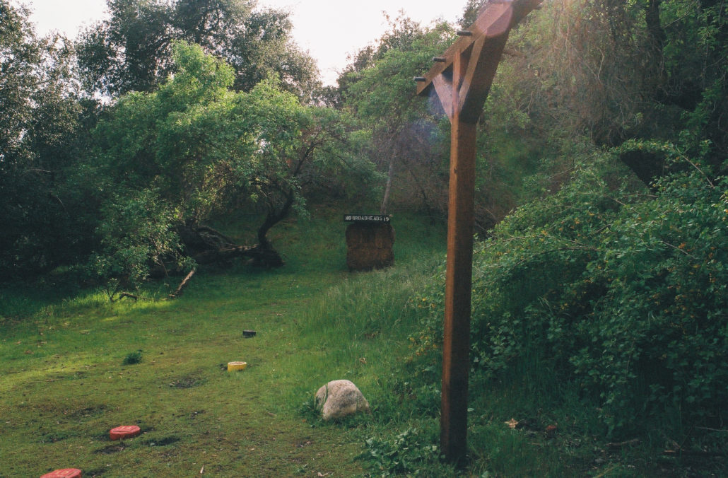
One section of the archery range you will find along the Lower Arroyo Seco Loop Trail.
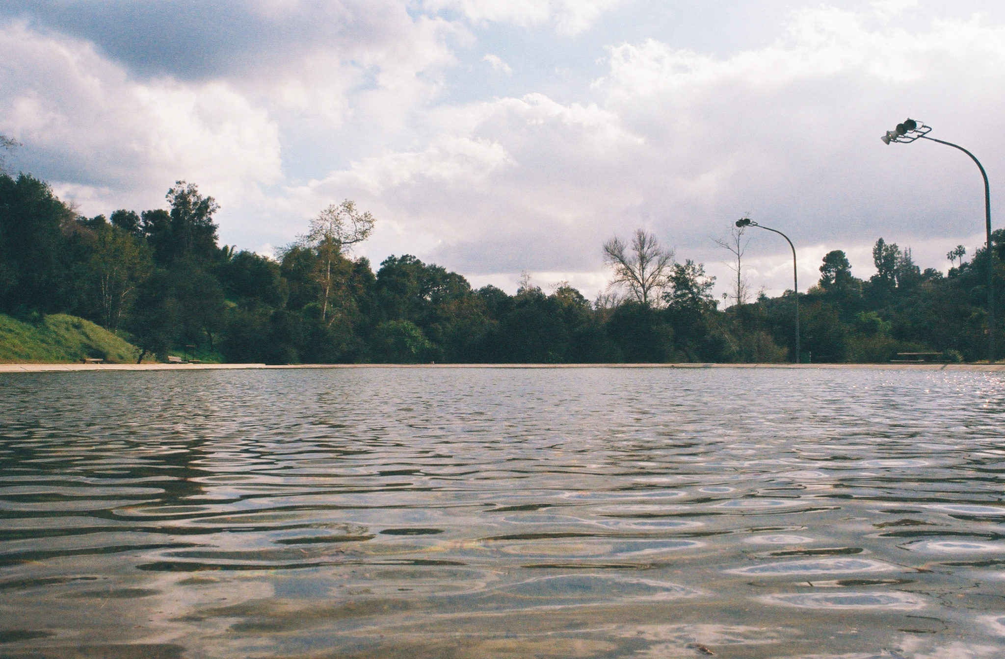
At 1.3 miles, you will rejoin the main trail and find a bridge to the east side of the Arroyo Seco River. Hike across and past the parking lot before turning right to reach the casting pool. The Pasadena Casting Club, a non-profit focused on all things fly-fishing, meets here weekly and opens up its clubhouse (which is located next to the pool) to visitors from 1:00 p.m. to 5:00 p.m. most Sundays. There are also restrooms, benches, and a water fountain for the public to use.

The flowing Arroyo Seco. You can see the Colorado Street Bridge in the distance.
The casting pool is open to the public.
If you want to extend your hike, you can instead make a left after crossing the bridge. Hike for 0.3 miles to reach the Colorado Street Bridge. Continue and you will soon reach Brookside Park and the Rose Bowl, the latter of which is home to a wide array of sporting events and concerts, one of the best flea markets in the Los Angeles area, and a paved 5K trail.
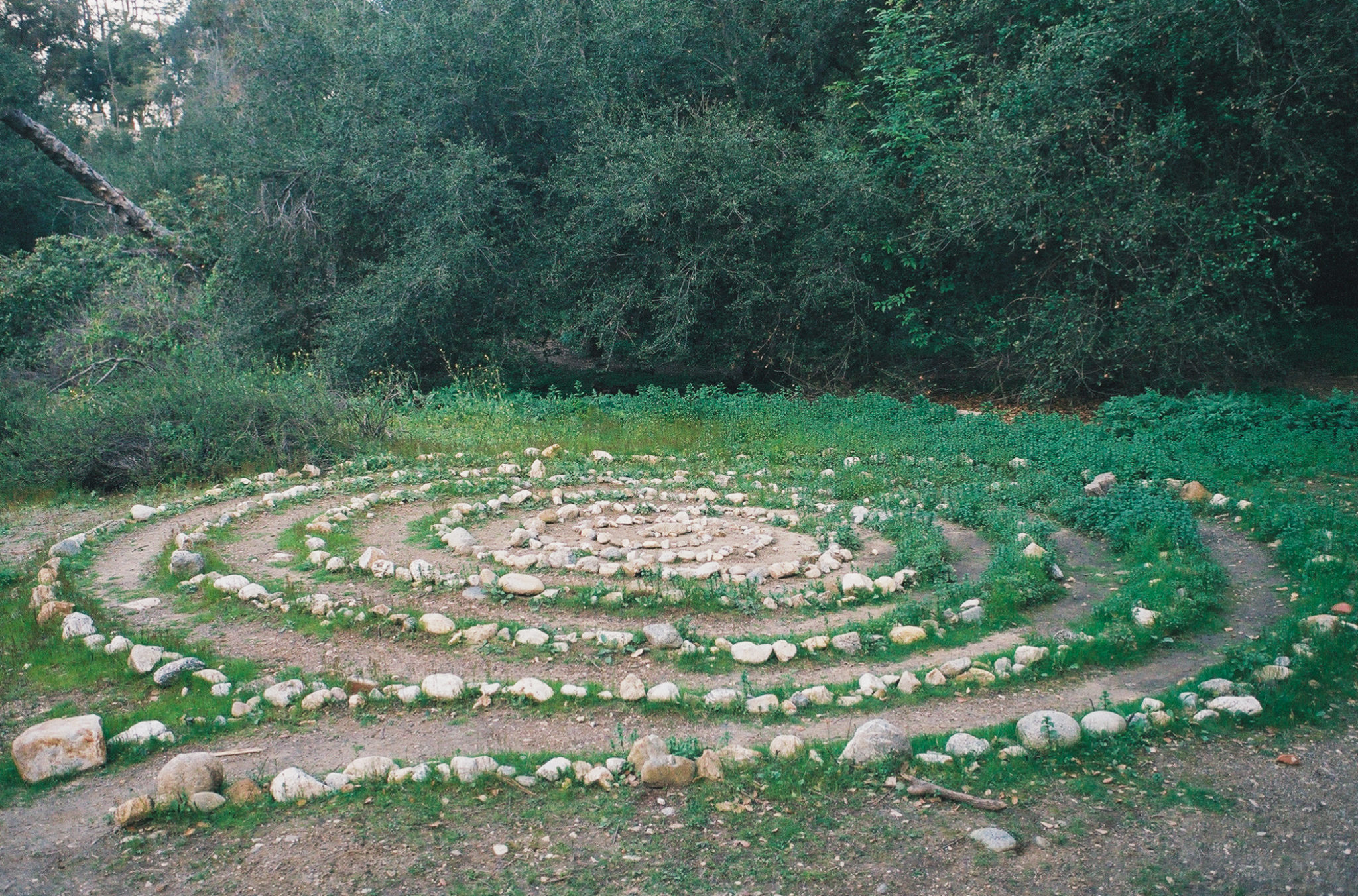
For the rest of the hike, you will once again pass under the La Loma and San Rafael Avenue Bridges. Additionally, you can weave in and out of several side trails, offering several fun sights including a romantic grassy field and a rock art exhibit.
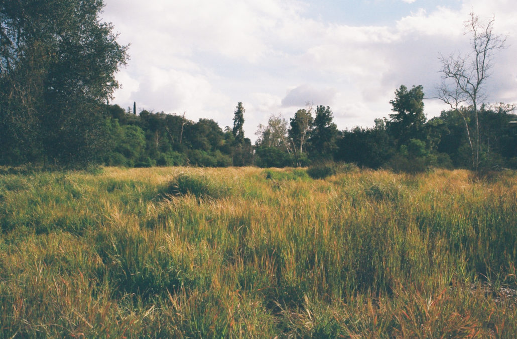
This field was vibrant and lush after a large winter storm.
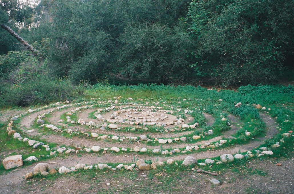
A spiral rock art exhibit found along the trail.
You will know that you are nearing the end of your hike when you start walking along a fence on your left that separates this trail from private property. Soon you’ll reach the bridge you first crossed, marking the end of the loop. Head left to make it back to the trailhead.
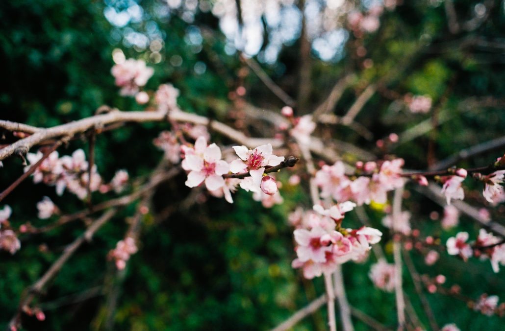
A blossoming peach tree that I encountered during the final moments of the hike.
Tags: archery, arroyo seco, Arroyo Seco River, casting pool, Hiking, nature preserve, Pasadena