Before I describe the hike up to Gardisky Lake, I’m going to bore you with a short personal anecdote. Usually, when I research where I want to hike, I start by visiting Caltopo.com, which if you’re into using topo maps like I am is pure heaven. This gives me the basic info I need on route-finding, but I don’t see any visual information about any given route. Therefore, most hikes I take end up being a surprise to me, which is often really cool and occasionally really obnoxious.
With Sierra lakes, it’s usually pretty easy to know what you’re going to get. With each one, I expect a similar type of scenery: glacial basin, gleaming grey Sierra granite, a jagged peak in the background, patches of subalpine trees (or sometimes no trees), and some rocky outcrops from which to bask in High Sierran resplendence. Gardisky Lake had very little of that, and for that reason it stands out as one of the more memorable lakes I’ve visited, despite the hike and lake being relatively modest in comparison to the more spectacular destinations I’ve had the privilege to visit.

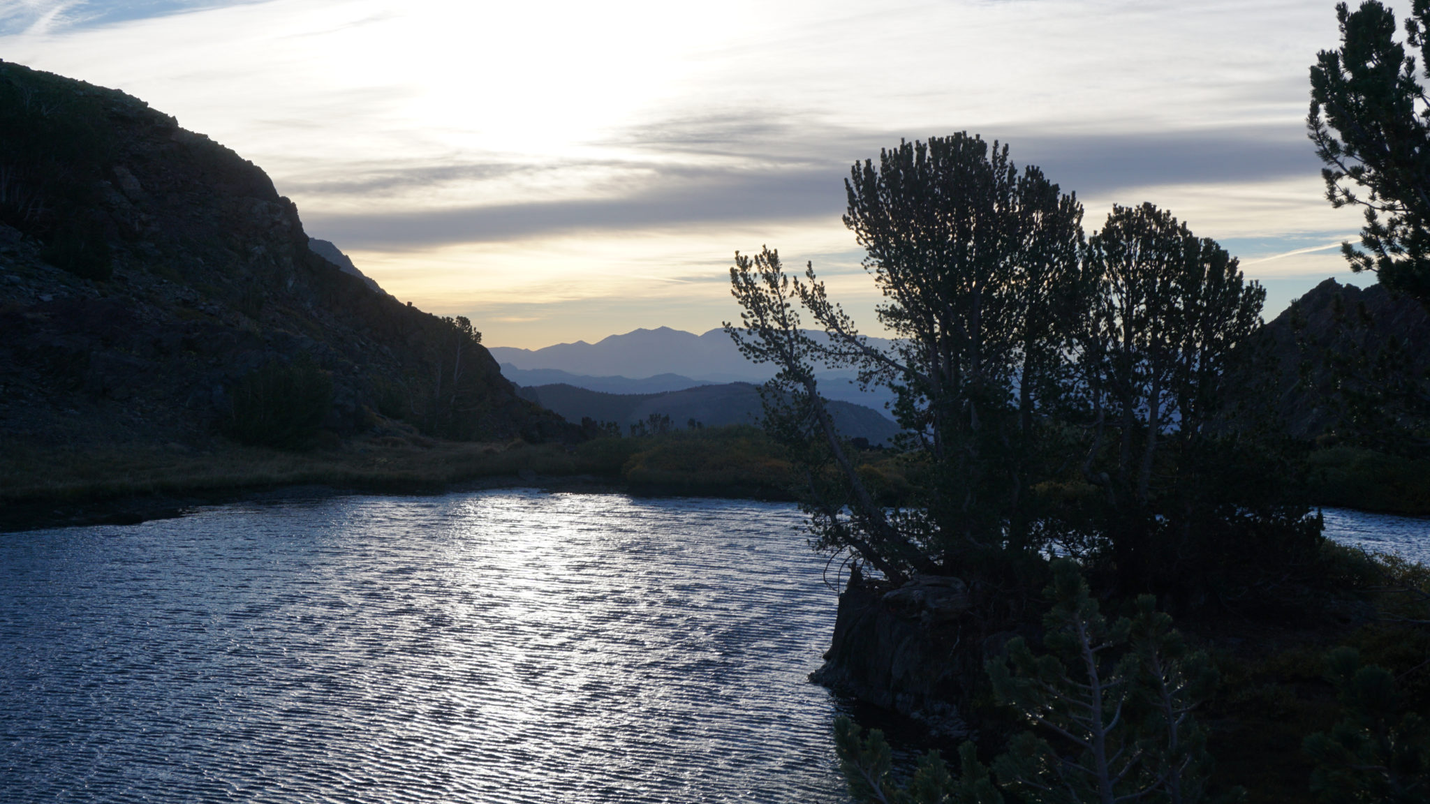
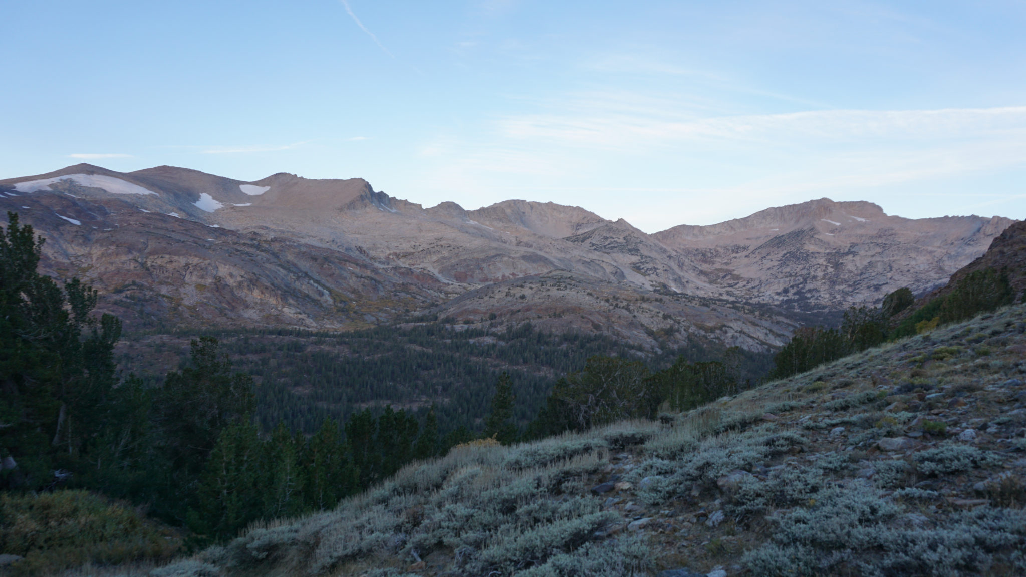
So, if you’re not getting the classic Sierran lake experience, what exactly are you getting? Well, Gardisky Lake occupies a small depression on the Tioga Crest at the base of Tioga Peak. The lake actually drains into Lee Vining Creek in two different directions, making it one of those unusual lakes that drains at both ends. The lake is surrounded by a huge grassy meadow, and the towering summit block of Tioga Peak dominates the skyline. On the western end of the lake, you can see the Sierra Crest capped by White Mountain, looking much more like the typical Sierra scenery. This all comes to you for the price of a rather grueling, but mercifully short climb up from Saddlebag Road through a forest of lodgepole and white bark pine.

The Sierra Crest with White Mountain on the left and Mt. Conness on the right
Start out at the Gardisky Lake Trailhead on the west side of Saddlebag Lake Road. Cross the road to find the unassuming, single-track path. Step onto the path and begin a misleadingly gentle climb that darts into the trees before suddenly becoming a steep slog. The first part of the climb is pure work with few views to distract you, but views across Lee Vining Creek toward Mt. Conness and White Mountain towering about the Hall Monroe Natural Area become a welcome site after 0.25 mile of climbing.

Tioga Pass
At the 0.3 mile mark, the trail joins the sometimes-dry outlet creek draining Gardisky Lake. Sparse patches of quaking aspen and willow add a dash of fall color, and views toward Tioga Pass and Mt. Dana join the views you were already enjoying toward Mt. Conness. The trail switchbacks along the bank of this creek, and just when you think you’ve had about enough of the steep climb (about 0.5-0.6 mile), the incline becomes less severe before entering a narrow meadow.

This narrow meadow is the beginning of a much larger meadow that extends toward the shore of Gardisky Lake. As you progress toward the lake, look for two small ponds, which hold the upside down image of Tioga Pass in their sparklingly clear waters. Near the bank of Gardisky Lake, keep to the left to locate a fisherman’s trail that follows the lake’s northern shore.

Keep to this fisherman’s trail, occasionally working through thickets of willow or over small, spring-fed streams. At 1.1 miles, you will reach a small pond just to the east of the lake’s eastern rim. From here, you can work your way around the edge of the pond to enjoy a vertiginous view into the depths of Lee Vining Canyon and beyond toward the Mono Craters and the Mono Basin.

Lee Vining Canyon
This precipice is your turnaround point, but since you have a much easier and faster walk down, you can spend as much time as you like enjoying the lake. If you though the climb up was too easy, and you want to make your way up scree on a steep incline, you can head to the lake’s southern bank to make an assault on Tioga Peak, from which summit you can enjoy an astonishing vista encompassing both the Mono Basin and a substantial chunk of the Dana Meadows area west of Tioga Pass.
Tags: Gardisky Lake, Hoover Wilderness, Lee Vining Creek, Lee Vining Pass, Saddlebag Lake, Saddlebag Lake Road, Tioga Crest, Tioga Pass, Tioga Peak


