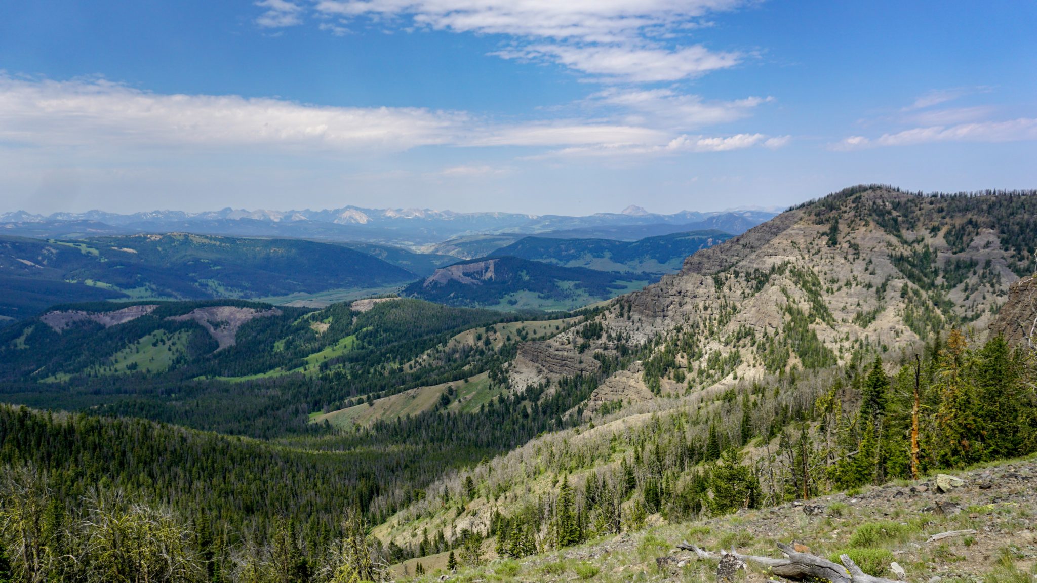
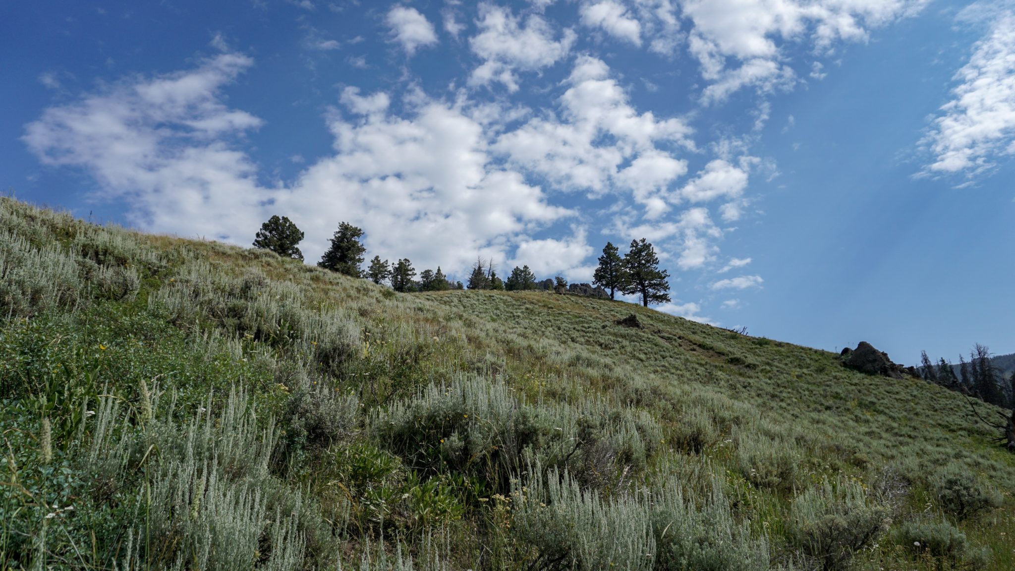
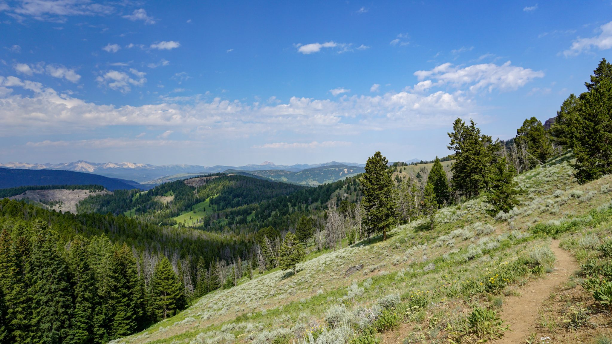
If you were to take out the geysers, herds of bison, grizzly bears, wolves, weird-smelling hot springs, waterfalls, and lakes, Yellowstone National Park would still find a way to be one of the most beautiful national parks in the country. This is because the backdrop to all of the thermal and fauna features of the park is itself exceptionally beautiful, with rumbling rivers, vast grasslands and meadows, rugged ridges and peaks, and views that take in an enormous landscape of mountains and canyons under an endless sky.

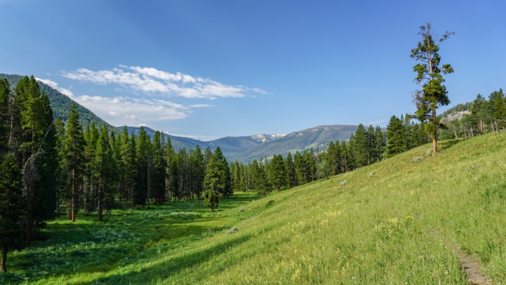
Gallatin River Valley
Bighorn Peak, a 9,851′ peak on the extreme northwestern end of the park, brings Yellowstone’s mountainous backdrop to center stage. The route along the Black Butte Trail passes through a densely forested valley dividing several volcanic buttes before scaling a ridge that divides the Gallatin and Yellowstone River valleys. While an assortment of wildlife may be present (especially in the morning), you won’t find any thermal features here. Just gorgeous mountain habitat and magnificent views.

King Butte
Hikers can also follow this route as a backpacking trip. All overnight camping in Yellowstone requires a permit, and that permit allows you to camp in designated campsites. The Black Butte Trail has one developed campsite (WF1), which lies about 2 miles into the hike. This campsite is a good base camp for a summit ascent, but you will have to complete the necessary legwork to get a permit. After completing this application form, mail it, fax it, or submit it in person to Yellowstone’s Backcountry Office (P.O. Box 168, Yellowstone National Park, WY 82190, 307-344-2166 (fax)). You’ll receive a confirmation notice, which you will then convert to the actual permit when you pick it up from the backcountry office within 48 hours of your hike. The cost for processing a permit is $25, but you won’t be charged if your request is denied.
Hikers should also note that this is black and grizzly bear country, which requires additional caution and preparation. The park recommends that you hike in groups of 3 or larger and that you carry bear spray as a deterrent. Furthermore, you should carry all of your scented items (food and non-food, alike) in a bear-proof container to prevent bears from eating it. Finally, bears tend to be most active at dawn and dusk, so avoid hiking during those hours and at night to reduce the likelihood of an encounter.

With all precaution and preparation boxes checked off and with your travel to the trailhead complete, step onto the Black Butte Trail and begin walking northwest through dense lodgepole forest along the northern bank of Black Butte Creek. The trail continues on a moderate incline through forest alternating with grassy meadows for the next 1.9 miles. Views toward Lava Butte, a flat-topped volcanic formation to the north, and King Butte, a similar formation due northwest, add some scenic interest to the pleasant forest walking. Black Butte Creek remains within earshot and sometimes sight as you progress.

At 1.9 miles, you reach a junction with the Dailey Creek-Black Butte Connector Trail that crosses the hills to your north to connect with the Dailey Creek Trail. Keep right at this junction and proceed to another junction at 2.0 miles. The trail on the right is a spur trail that leads to campsite WF1, this route’s only campsite option.
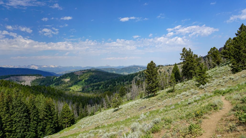
After the campsite, the trail bends to the west to climb along the southern slopes of King Butte into a heavily wooded ravine. The trail crosses Black Butte Creek at 3 miles, soon turning to the south to begin a long, switchbacking ascent to Big Horn Peak. Throughout this switchbacking section, the trail crosses broad, sunny meadows that offer outstanding views west toward the Taylor-Hilgard Range in the distance and the lower ridges and valleys in between. As the trail climbs higher, the forest becomes denser, and a carpet of wildflowers may brighten up the bright green understory beneath a recovering forest canopy of lodgepole pine, fir, and whitebark pines.

The aforementioned whitebark pines become more and more prominent the higher you climb, and unfortunately those trees have been under siege from a combination of white pine blister rust (a fungus), pine beetles, and the combined increase in temperature/decrease in snowpack caused by climate change. Many of the white pines you encounter are dead or dying, which is an epidemic problem across this region of Montana and many other places elsewhere.

At the 5 mile mark, the long switchbacking section through dense forest comes to an end as the trail reaches a northeast trending ridge that rises to the grassy slopes of Bighorn Peak. A particularly devastated stand of whitebark pines clogs the ravine to your right, and there are hints of the 2007 Owl Fire to the east of the trail. At 5.7 miles, the trail leaves tree cover to arrive on a grassy, sloping plateau. Bighorn Peak lies to the northwest when viewed from the edge of the treeline. However, despite the title of this write-up, the visit to Bighorn Peak is actually an optional attraction on this route.

To understand why, consider first that the Bighorn Peak summit block is a little odd. Bighorn Peak itself is not the highest point on the summit block. It’s not even the second or third highest point. You are welcome to bag it if you like, but it doesn’t have the most interesting views; you’ve seen just about everything from its vantage point by the time you reach it, and the interesting views south and east are at their best along the ridge aboard the Sky Rim Trail. Instead of going for Bighorn Peak, continue north to a junction with the Sky Rim Trail at 6 miles, and turn right.

Once on Sky Rim, you’ll turn to the east and make a short descent along a somewhat sketchy trail. Specimen Creek’s canyon yawns before you to the right, and several rock formations add some geological interest. The drop into Specimen Creek is a little startling, and there’s not a lot of margin on either side of the trail. This may be a bit of an issue for acrophobic hikers, but a slow and steady will lead you right.
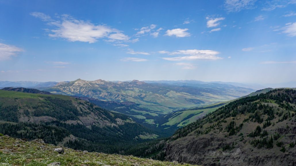
At 6.2 miles, you’ll arrive at a sparsely wooded summit just before the Sky Rim Trail begins descending a north-trending ridge. This is your destination. The peak doesn’t have an official name, but there is a benchmark labeled “Wickiup” on some topo maps. From here, you get amazing views across the northwest quadrant of Yellowstone as well as the southern and western reaches of Custer-Gallatin National Forest. Bring along a good map (the Nat Geo map for Yellowstone will work well for this) and see how many landmarks you can identify from the summit.
Tags: Bighorn Peak, Black Butte Creek, Black Butte Trail, Gallatin River, King Butte, Lava Creek, Sky Rim Trail


