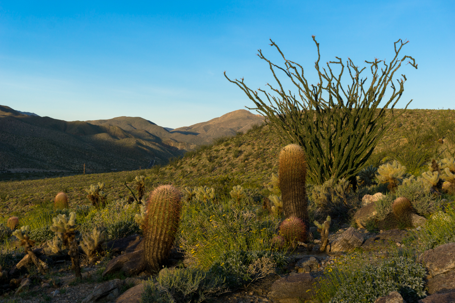
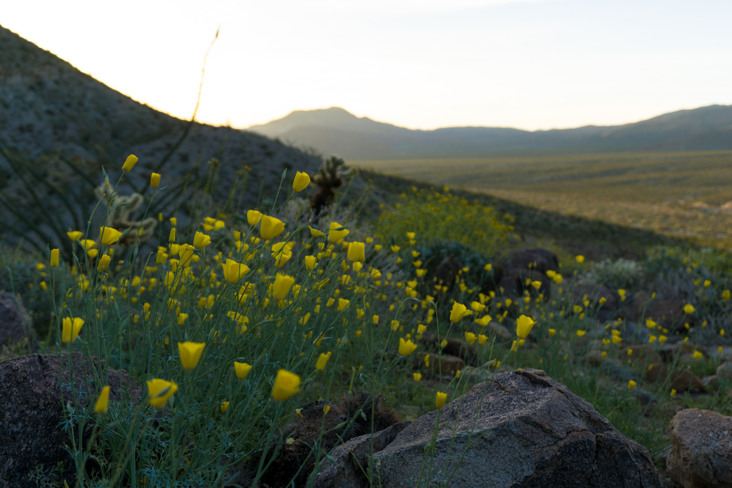
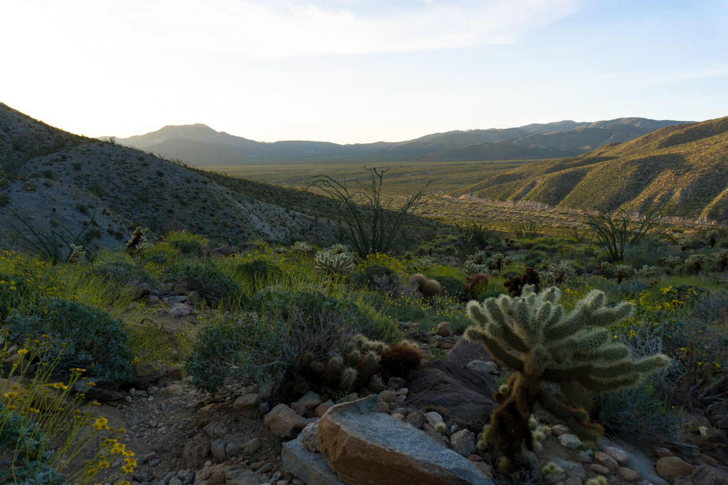
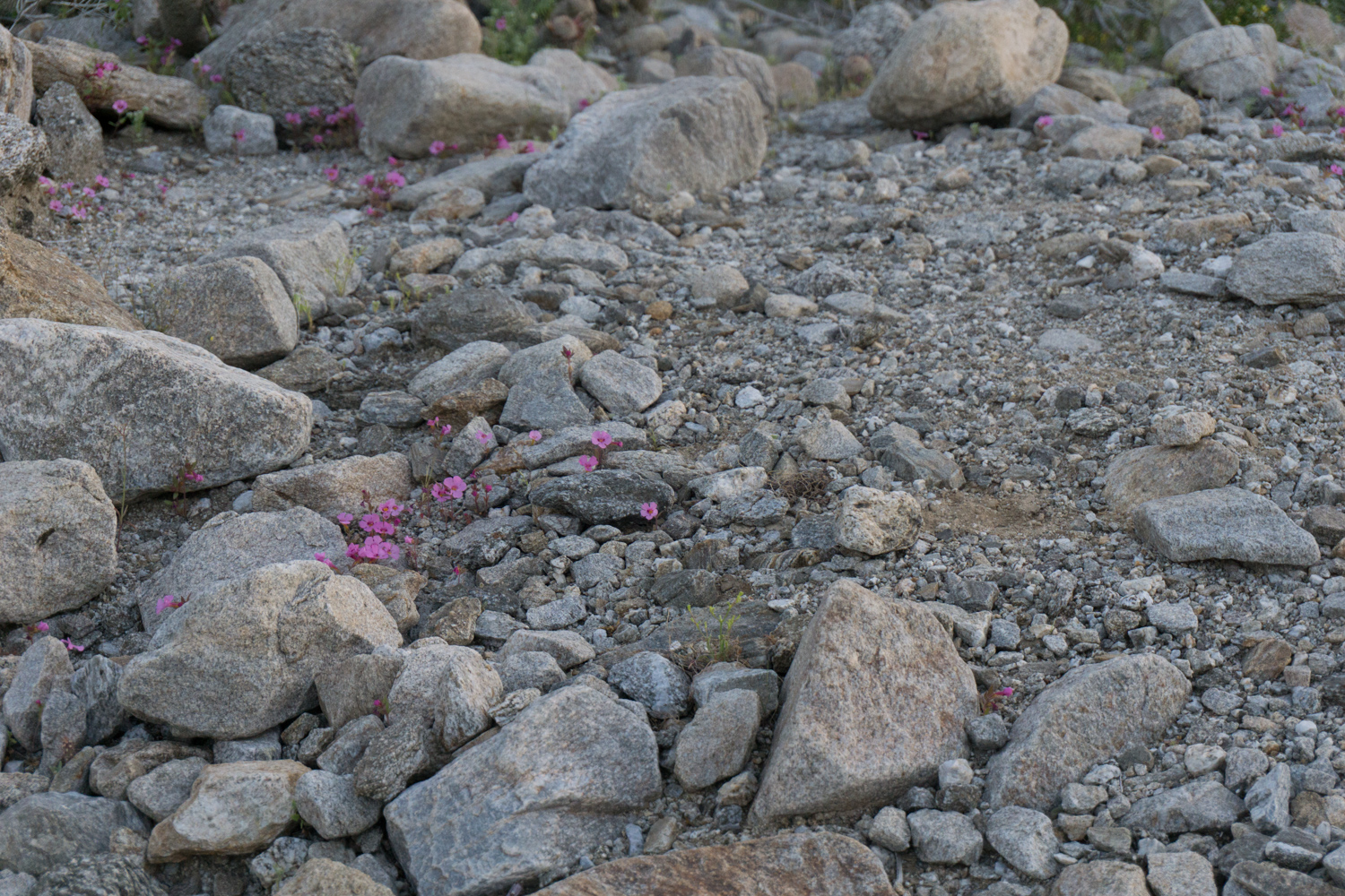
In spring when all of Southern California (and beyond) descends upon the otherwise sleepy town of Borrego Springs to track down the Anza-Borrego wildflower blooms, high profile sites like Henderson, Coyote, Borrego Palm, and Hellhole Canyons can become totally overwhelmed with visitors. In the midst of the 2017 “superbloom,” by 7AM I managed to snag the second-to-last parking spot at the trailhead for Borrego Palm Canyon – but just slightly earlier that same day I was the only person enjoying the rugged peacefulness of watching the sunrise from the Cactus Loop Trail.

This small, short nature trail is very easy to miss — indeed, most visitors to the park probably drive right past it on their way to Borrego Springs without even noticing. But more meticulous hikers (and those lucky enough to snag reservable spots at nearby Tamarisk Grove Campground) can enjoy this route in relative peace and quiet — all the while getting to know some of the region’s pointier plants.
If you are chasing blooms, this area of the park is at a higher elevation than the technicolor botanical fireworks on the floor near Borrego Springs — so in general flowers here will be slightly behind the popular blooms at Henderson Canyon and near the Visitor Center. While you won’t see a seemingly endless carpet of wildflowers, in my opinion, cacti (and some nearby relatives) have some of the most beautiful flowers in the desert. Delicate, silky flowers emerge from some of the meanest, toughest plants in the Colorado Desert — many for just a day or two and only pollinated by a single species of critter.

Before you begin, pop into the Tamarisk Grove Campground to pick up a paper brochure for the nature trail. You can also find these guides at stations around the park, at the Visitor Center, and in Borrego Springs. Cross the street and head up on the trailhead. This route goes clockwise but you can easily go in either direction.
On this trail — as is true for most trails in the desert — the slower, more detail-obsessed hikers will be rewarded with observations that faster hikers might miss, like these tiny rock daisies hidden amidst the roots of other plants. Or perhaps you’ll spot a hummingbird sipping on the long red blooms of a chuparosa …

rock daisy

chuparosa
The trail stays mostly flat for the first 0.1 mile, then it starts its slow but steady climb up. You’ll start hiking through some spidery ocotillos, a slow-growing shrub that is often mistaken for a cactus due to its sharp spines.

Although it sounds like (and looks like) these shrubs got their name due to their octopus-esque appearance, their name comes from the Aztec ocotl, a resinous pine tree that was used for torches. Ocotillo branches can also be used this way, so the Spaniards took the word ocotl, added their suffix for ‘smaller’ and came up with ‘ocotillo.’
These are really fascinating plants because unlike most desert residents, they don’t hold onto water when they get it. Instead of storing water and resources away for the long periods of drought like cacti, ocotillos use water to go into a full-on growth spurt as fast as possible. Their green leaves only appear after a good dose of precipitation — usually within 48 hours. As long as there’s enough moisture in the ground the ocotillo grows at a rapid pace, growing new branches, new leaves, and showy red flowers in the springtime.

an ocotillo bloom about to appear
Once the water dries up, the ocotillo shuts down almost as quickly as it kicked off its growth spurt. It’ll drop nearly all of its leaves, leaving behind only the tough, spine-covered branches, then go into a state of almost-dormancy until the next rain comes along. The plant is kept alive by a thin layer of photosynthesizing cells just below the tough outer bark.
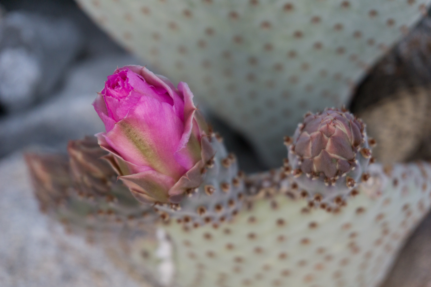
Nearby, you may spot some smooth-seeming beavertail cacti. These little guys fire off blooms in the springtime that are an almost artificial-looking neon magenta, and they’re one of my favorite desert blooms.

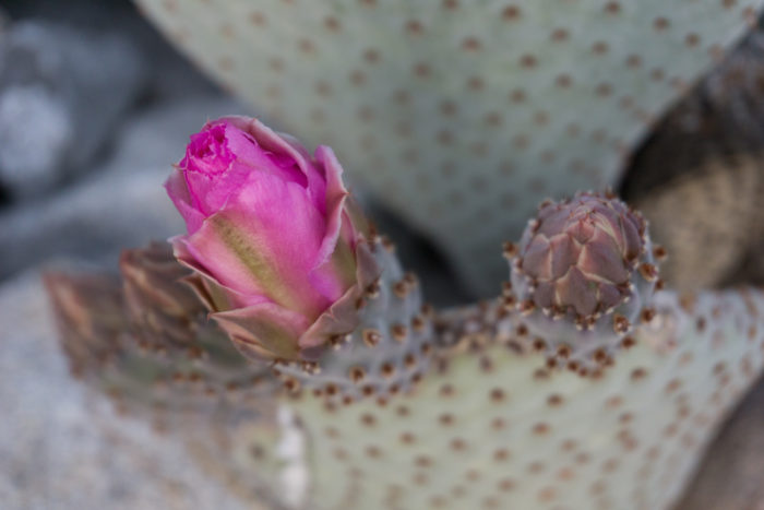

A beavertail in full bloom, from Borrego Palm Canyon
Although they may look smooth-skinned, don’t touch the beavertail cactus. Those dark spots on the pads are actually covered in near-microscopic spines. If you do end up getting too close, you’ll probably want to use some strong tape to pull them out, ’cause tweezers ain’t gonna cut it here.
Other cacti on display near this trail include the oblong barrel cactus, which swells with precipitation and can be up to 90% water following some good storms. Extra protection on the skin that gets the most sunlight on the barrel cactus means they also usually dip to the south (where sun exposure is usually the longest and strongest), which gives the succulent its nickname of “compass cactus.”

In the summer, the tops of the barrel cactus bloom, giving them the appearance of wearing a little garland of flowers on their heads.
Also be on the lookout for silvery chollas and the tiny strawberry (or fishhook) cactus, which might be hidden underfoot or nestled near the rocks along the borders of the trail. In fact, as many cactus species tend to topple over and break off pads that re-root, it’s a good idea to keep an eye on where you’re stepping on this trail in general.

cholla

strawberry cactus – sometimes also called fishhook cactus
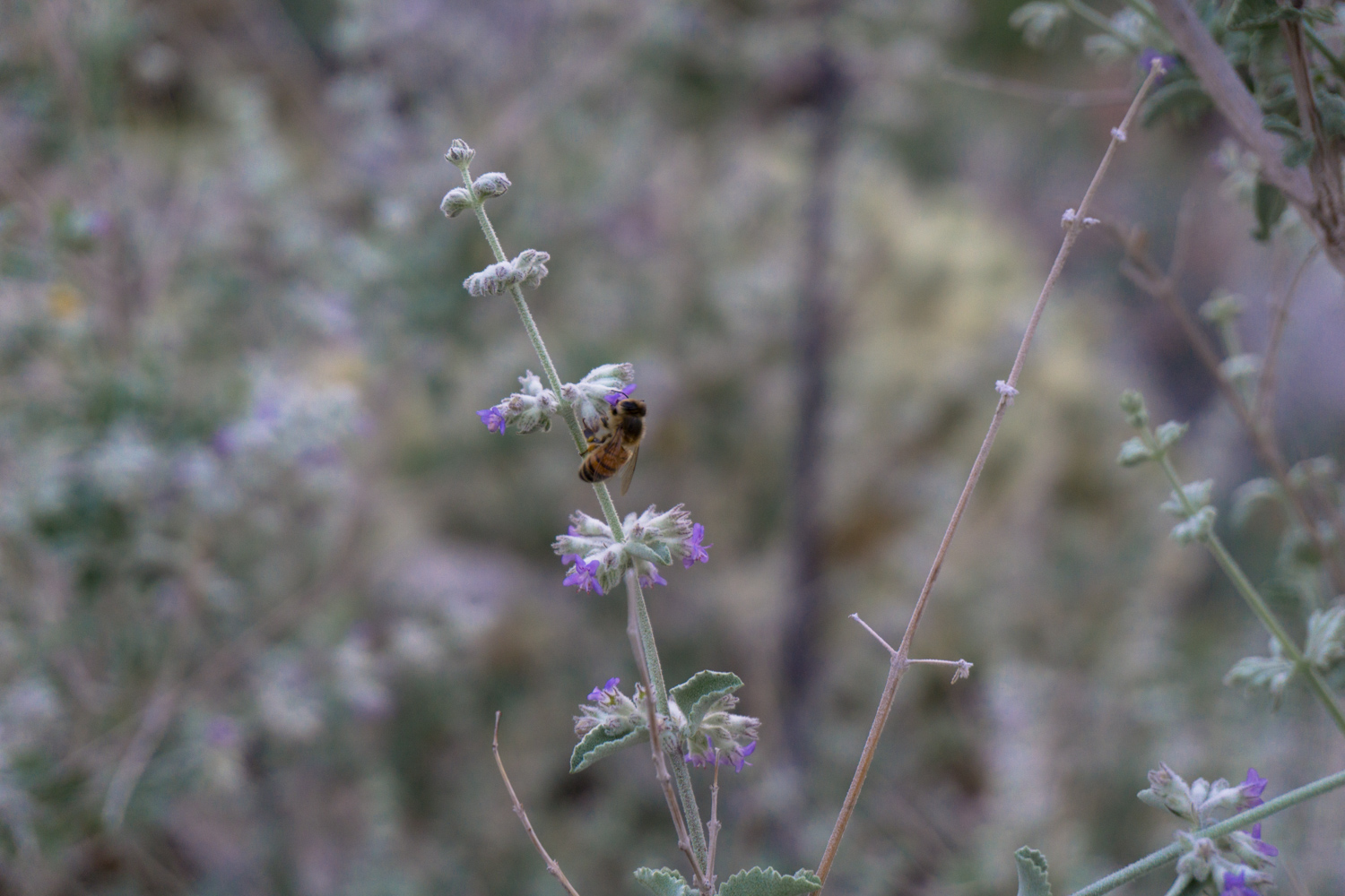
Of course, there are non-cactus plants to check out on the Cactus Loop, too, including showy Parish’s poppies and brittlebush. Bees and humans alike are drawn to the distinctive scent of desert lavender, too — and there are plenty of impressive agaves near the end of the Cactus Loop.


When you’re done, cross the street to head back to your campsite or car to continue your exploration of Anza-Borrego Desert State Park.
Tags: Anza-Borrego Desert State Park, biology, cactus loop, transit accessible


