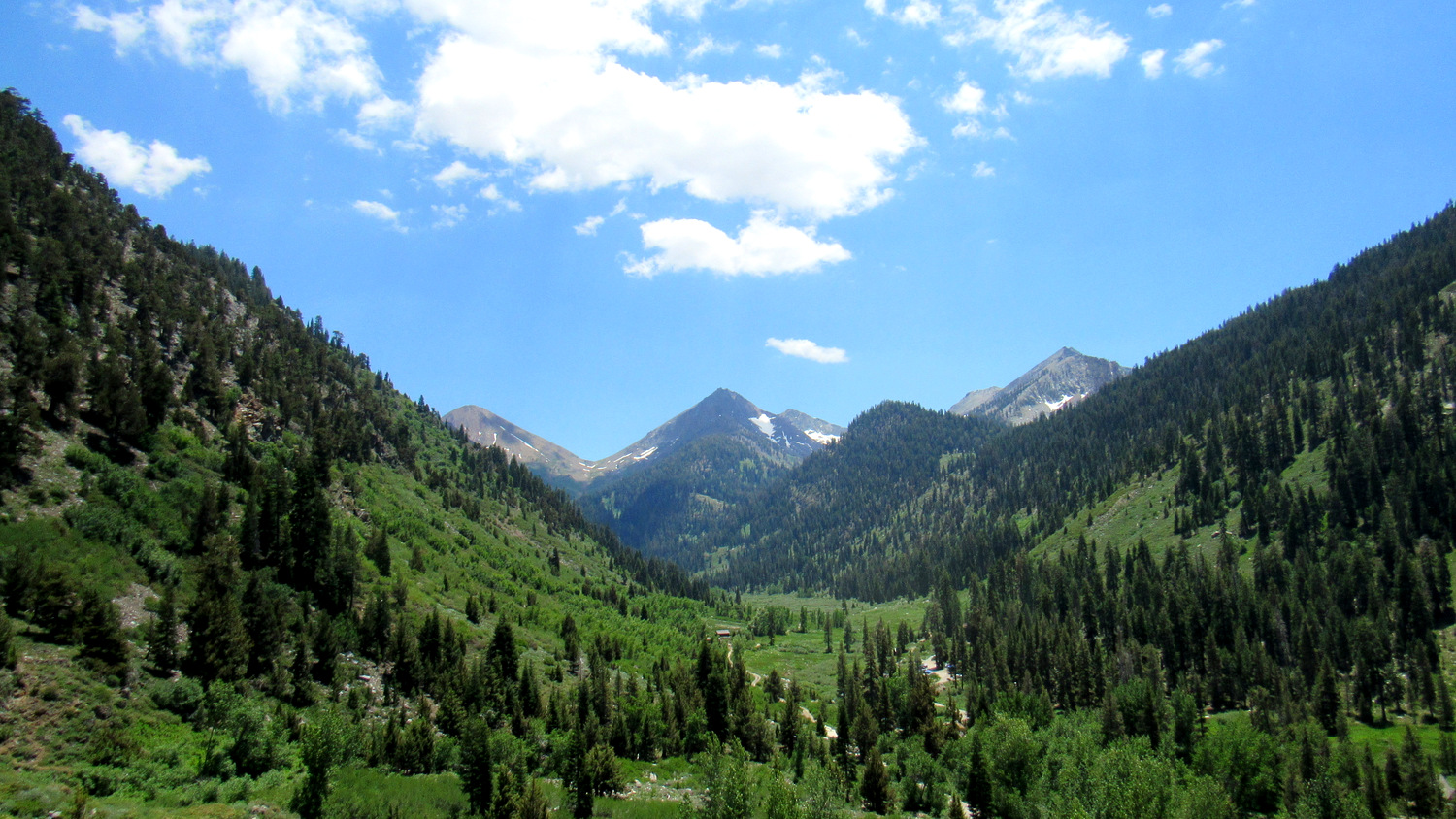
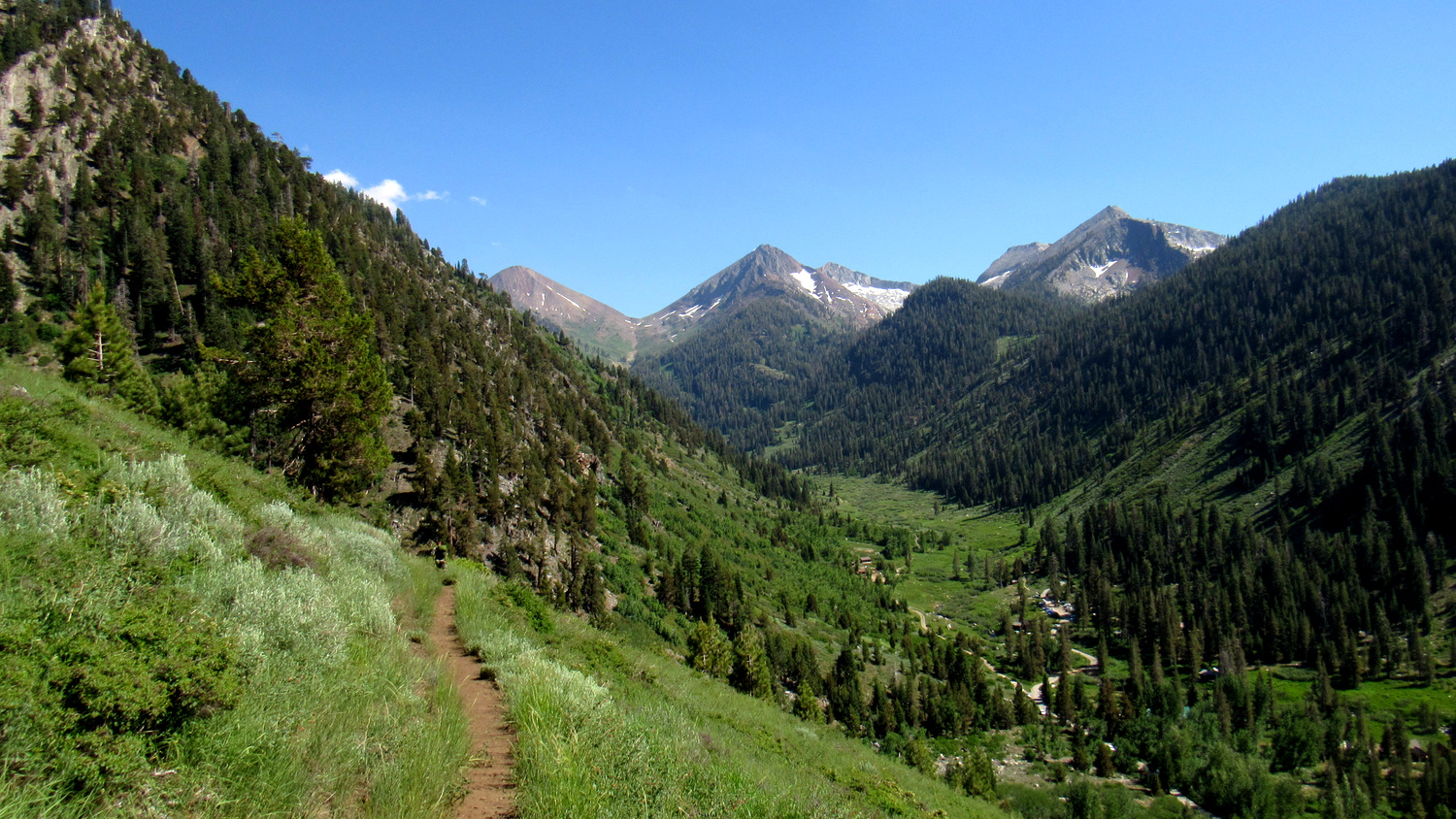
Looming high above the cavernous canyons of the forks of the Kaweah River, the Great Western Divide occupies a dominant position in the western half of Sequoia National Park. This formidable barrier, serrated with numerous glaciated peaks and peppered with sparkling lake basins, beckons to hikers determined to overcome altitude and fatigue in their pursuit of high country beauty. Of the many beautiful areas along the divide, the Five Lakes Basins (of which there are three) are perhaps the most alluring.

While the scenic beauty of this route is undeniable, hikers attempting it should be in good physical condition. This looping route visits two of the three basins by way of two intimidating alpine mountain passes – Sawtooth and Black Rock. These passes, both of which exceed elevations of 11,000’ with steep, prolonged approaches, are only a part of what makes this route so challenging. Hikers will also have to climb up and over Timber Gap with a full pack, make their way down to Cliff Creek before starting a 4,500’ climb up Black Rock Pass, and then conquer the steep, sandy, cross-country ascent over Sawtooth Pass.

Sequoia-Kings Canyon National Parks have recently revamped their permit system. Instead of the old “spend the day waiting for your fax to go through” system, the new 3-step process requires you to fill out the application and then email it to the park. After that, you receive a confirmation email indicating that you have the reservation. After that, you go to a government pay site to pay for the permit. Remember that the permit reservation is insufficient as a permit. You will still need to pick up your permit from the Mineral King Ranger Station either on the day before your hike or the day of your hike. This handy webpage allows you to see what kind of availability remains at each of Sequoia-Kings Canyon’s trailheads.

A few cautions apply to this route. First, Mineral King plays host to a lively population of marmots – particularly during early summer – that struggle to tell your radiator hoses from proper food. Hearsay stories tell of marmots hitching rides back to civilization by stowing away in engine compartments. Perhaps worse, these marmots have a tendency to chew through important cables, leading to stranded vehicles. To combat this early season nuisance, many hikers will use large tarps and bungee cords to wrap the undercarriages of their cars to prevent marmots from getting into the engine compartments.

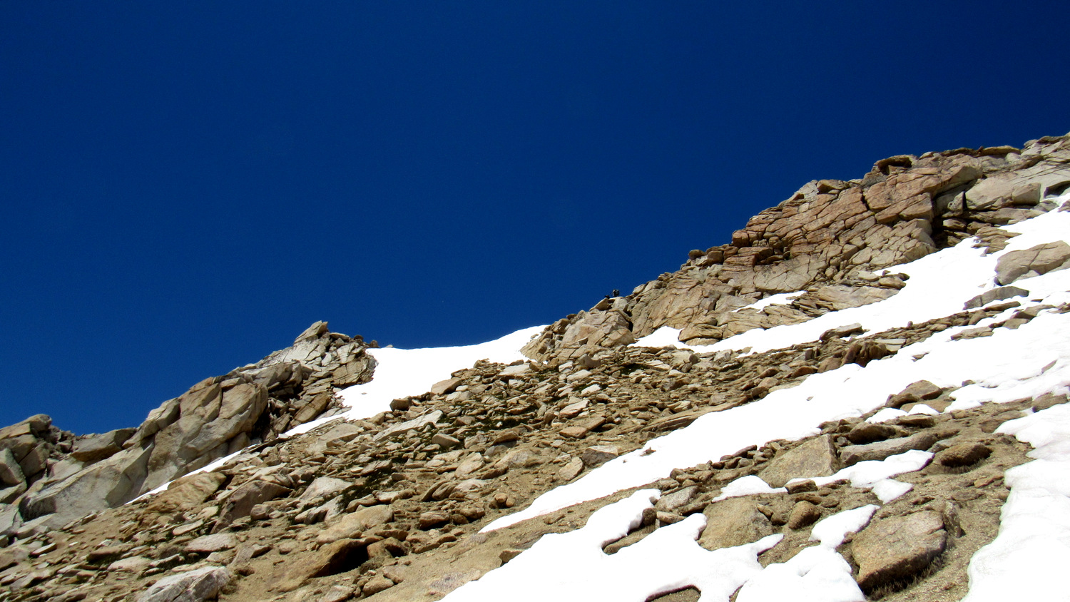
Snow blocking Sawtooth Pass
Additionally, Both Sawtooth and Black Rock Passes have a north-facing aspect. This means that the passes are capable of holding snow for a much longer time than passes with more sun exposure. Even when most of the snow in the park has melted, there may still be snow and ice on Black Rock and Sawtooth. Rangers can fill you in on snow conditions before you start your hike, but it’s still best to make sure you schedule this hike after most of the snow has melted so that you don’t encounter dangerous conditions.

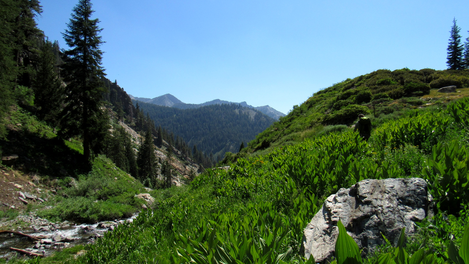
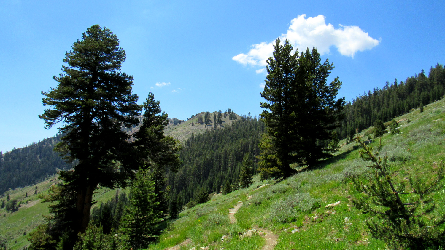
From the Timber Gap Trailhead, head due north and then northeast along a steep trail that will have you sweating and panting from the get-go. After a hard switchback to the left above Monarch Creek, you will reach a junction where the Timber Gap and Sawtooth Pass Trails split. Keep left here toward Timber Gap. The steep climb relaxes a bit as it passes through open fields dotted with wildflowers, sagebrush, ferns, and grasses. Be sure to stop frequently (you’ll have to breathe somehow) so that you can enjoy the emerging views south across the deep crease of Mineral King Valley. Try to keep your Julie Andrews in check; it’s no easy feat to spin around in circles and sing about the Sound of Music with a 40lb pack.

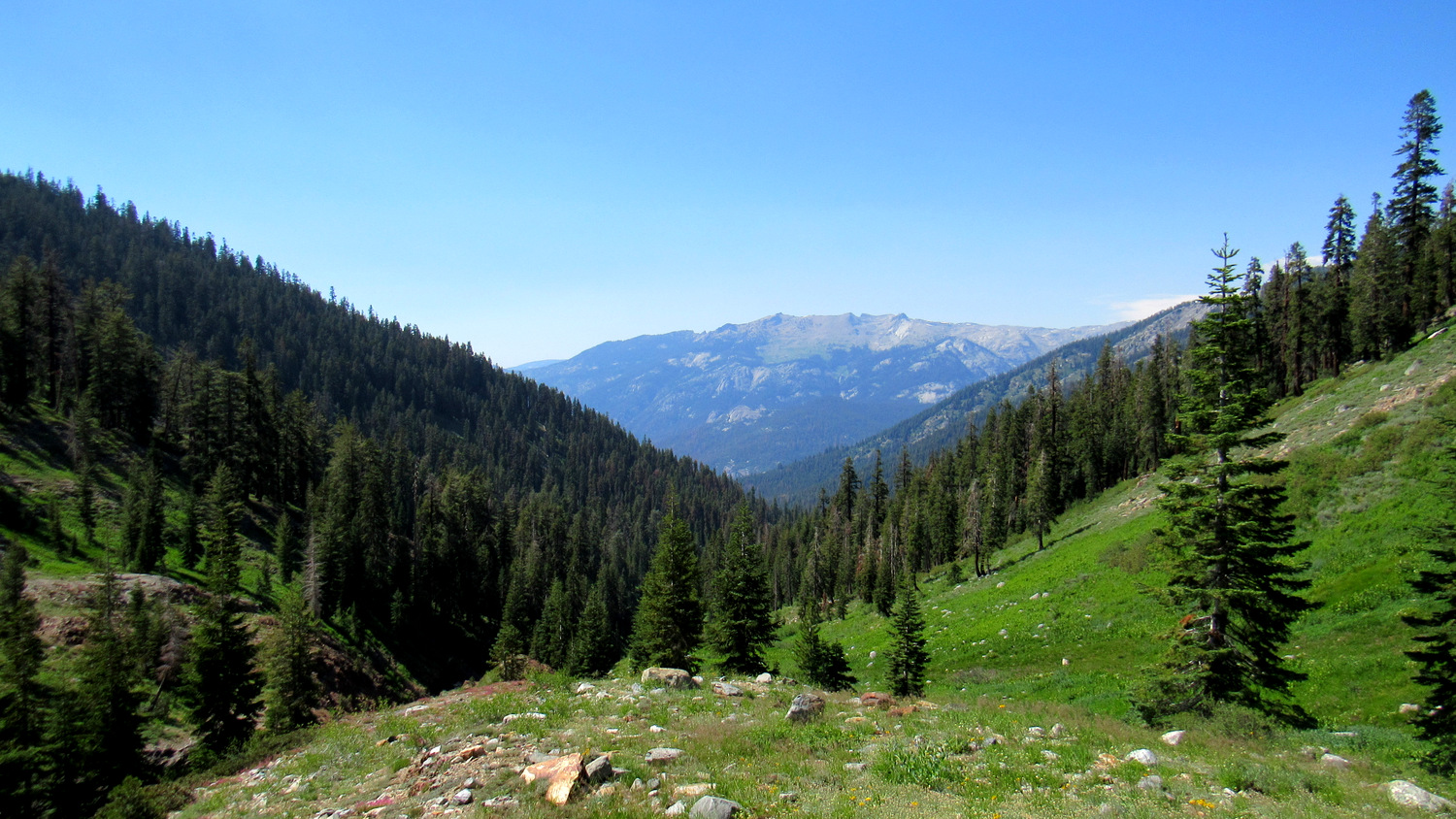
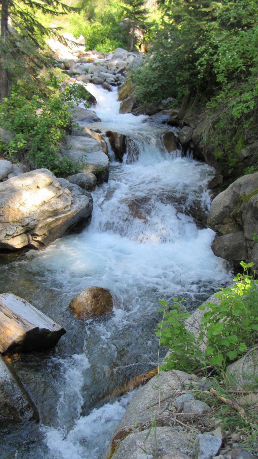
At 1.7 miles, the trail plunges into the eponymous timber of Timber Gap, which is the easiest passage between the East Fork and Middle Fork watersheds of the Kaweah. After all of the climbing you just endured, you may find yourself feeling dispirited about the 2500’ of elevation that you are about to lose on your way down to Cliff Creek. Don’t despair; the scenery through this section, including cascades on Timber Gap Creek, views north toward the Alta Peak massif and Tablelands, and patches of colorful wildflowers will compensate you for your loss.

You will reach the unimproved Cliff Creek crossing (a dangerous ford early in the season), along with a camping area on each bank, at 5 miles. The camping area on the east, which lies adjacent to a junction leading north to Redwood Meadow, features a bear box. This might be a good option if you got a late start and want to call it a day before climbing Black Rock Pass. However, the climb to Black Rock Pass from this spot gains 4,500’ over the space of nearly 6 miles. This is a tall order for a dayhike, but with a full pack, this would be excruciating. I therefore advise you to continue on from Cliff Creek toward Pinto Lake, which lies about 3 miles and 1,600’ to the east along Cliff Creek. You’re going to be really tired by the end of this, but it will be better than attempting to climb all of Black Rock Pass in one day.

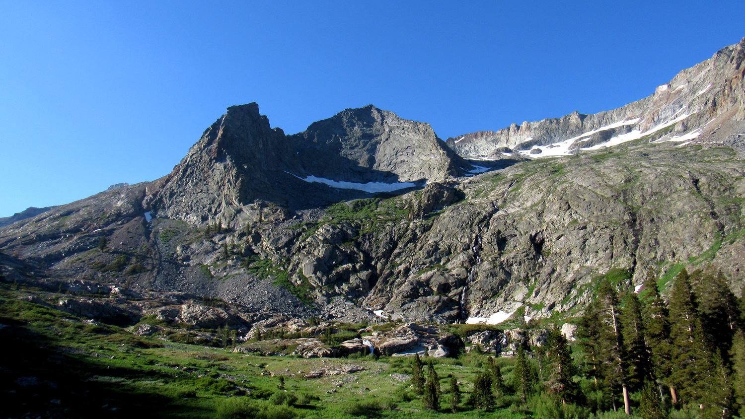
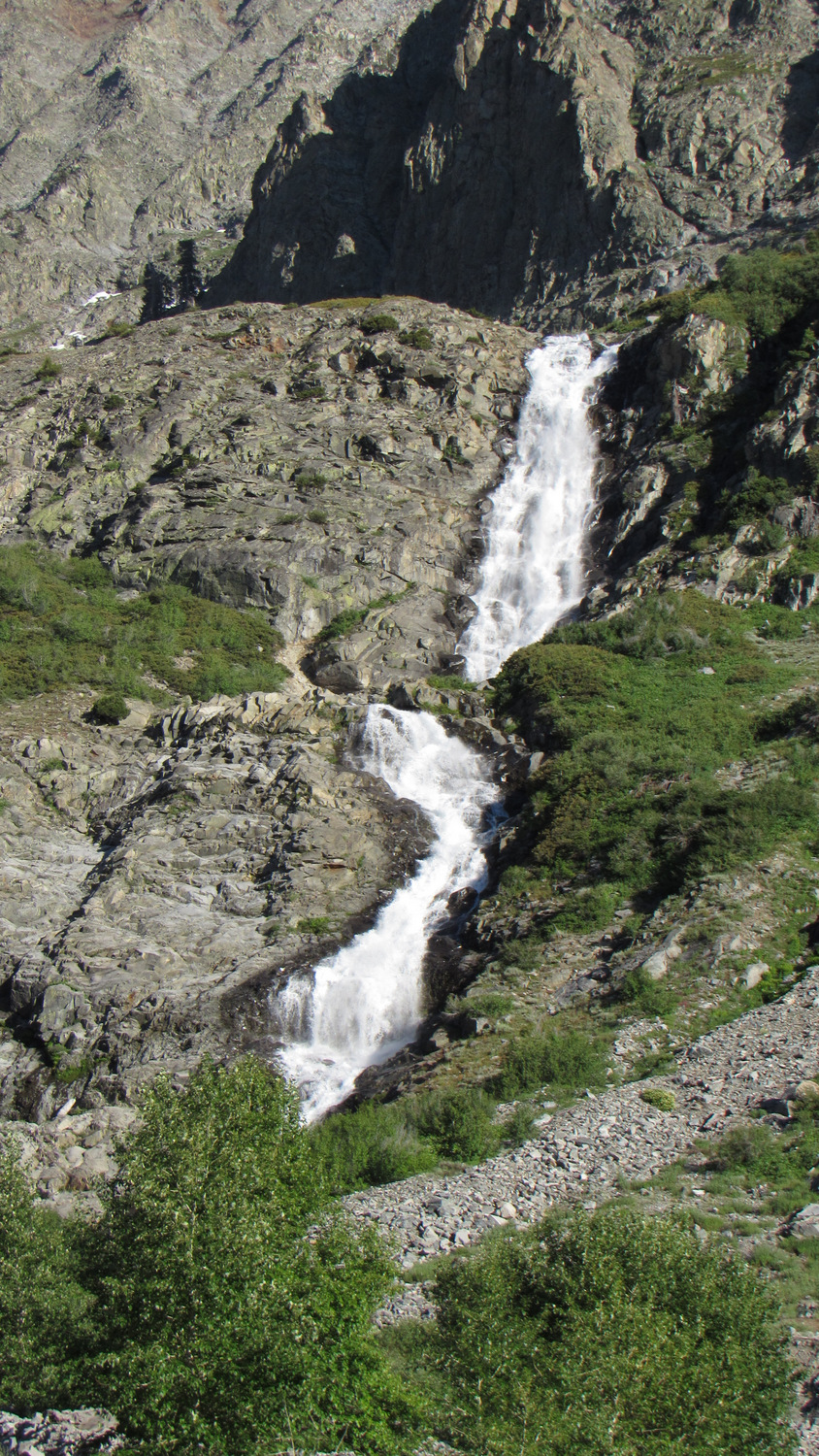
As you progress along Cliff Creek, you first pass through lush forest with numerous spring-fed rivulets and attractive creek-side copses of black cottonwood. The tree cover thins at 5.8 miles, revealing views up canyon toward a gorgeous cascading waterfall. The sculpted ramparts above this glacially carved canyon reveal the up-close-and-personal details in the formidable Great Western Divide formation, and it will be hard not to be impressed by such scope and scale.

After reaching the base of the waterfall, the trail veers away from the creek to circumvent a ridge on its way to diminutive Pinto Lake. A series of campsites lies south of Pinto Lake along an access path that leads away from a bear locker. This is your best bet for camping on your first night, and there’s no doubt you’re going to feel like you earned it. Don’t count on being able to reach Pinto Lake itself. This tiny lake lies obscured by a dense thicket of willows rising out of a dense marsh. However, you’ll probably be too tired to care.

Beyond Pinto Lake, there lies an immediate navigational challenge. The trail passes through a marshy meadow. Usually, walking across a meadow is a major no-no, but there’s really no way to avoid it unless you want to turn back. Once you pass through the meadow, the trail reaches a rocky talus slope as it starts to climb in earnest toward Black Rock Pass.

Once you start climbing, you will understand exactly why I urged you to break up the climb. You gain 3,000’ over the next 3 miles. All of this climbing occurs above 8,500’, and even if you’ve spent time in Mineral King acclimating, the altitude will have an effect. The “tortoise” strategy will inevitably beat out the “hare” strategy for all but the most fit, and with a lot of slow, deliberate effort, you will reach Black Rock Pass in due time.

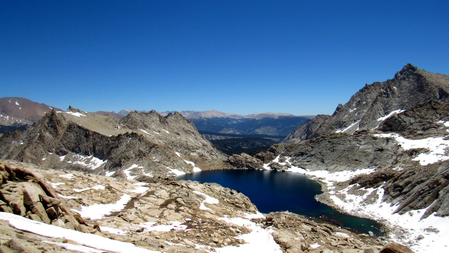
To the south, a trio of lakes – Spring, Cyclamen, and Columbine – shimmer upon terraces bound by glacial moraines. The angular spires of Sawtooth Peak and and Needham Mountain tower above while the thin ribbon of Cliff Creek rumbles in the valley below. The dark stone underfoot stands in sharp contrast to spring-fed rivulets and patches of wildflowers. High effort, high reward.

View east from Black Rock Pass
Once upon Black Rock Pass (note the dark color of the rock), you will peer into the vast interior of Sequoia National Park. Immediately below, you will see of all of the Little Five Lakes Basin and most of the Big Five Lakes. Beyond the basins, the deep gash of Big Arroyo bends to the east to feed the even deeper gash of Kern Canyon. The Kaweah Peaks, crowned by Red Kaweah, Black Kaweah, Kaweah Queen, Mt. Lawson, and Mt. Kaweah dominate to the northeast, while the high country of the Sierra Crest culminating in Mt. Whitney and Mt. Langley carve out the eastern horizon. Enjoy this breathtaking view, given how much breath was taken on the climb up.

Descending toward Little Five Lakes with the Kaweah Peaks in the background
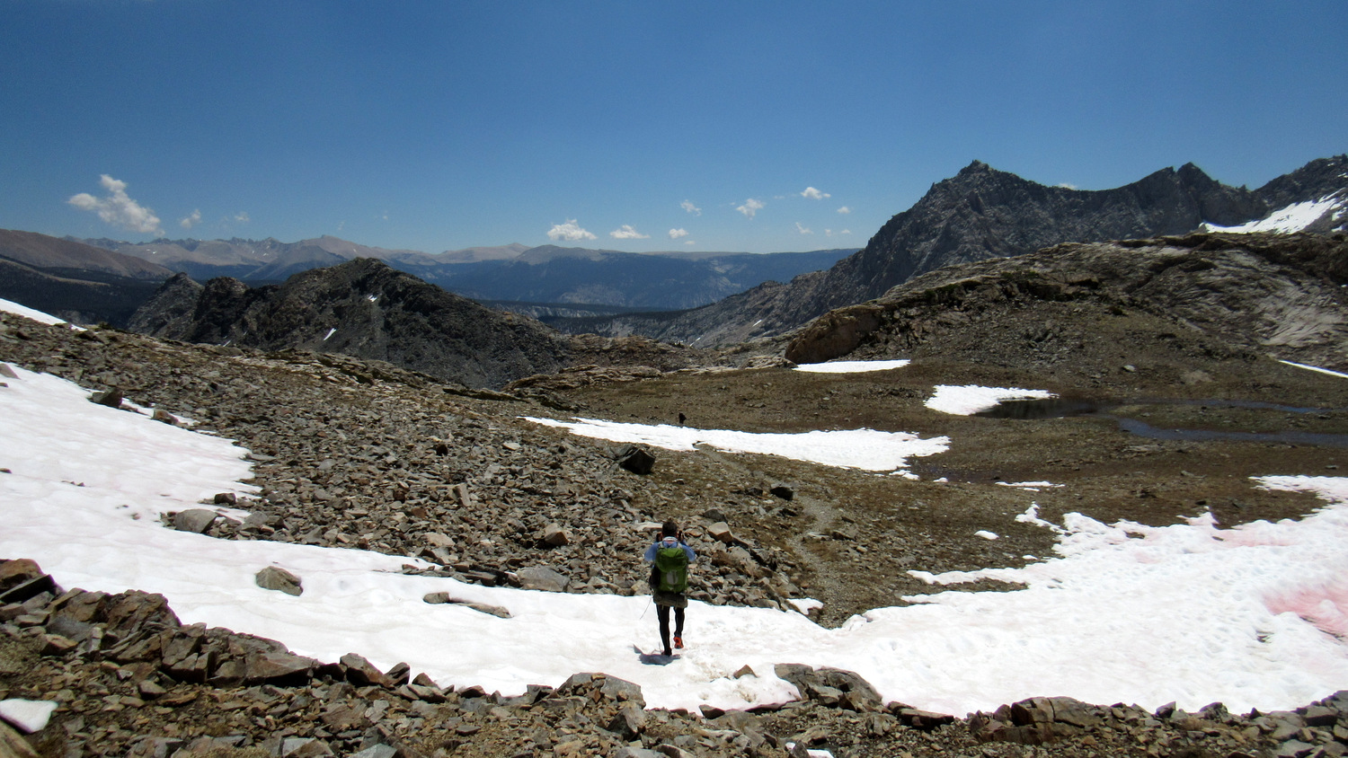
From here, descend through an alpine wonderland of dark metamorphic rock, possibly through snowfields and intermittent streams. As you return to treeline, the Kaweah Peaks massif becomes more dominant before you return to the forest – now a dry mixture of lodgepole and foxtail pine that rims the largest of the Little Five Lakes. At 12.6 miles, you reach a junction with a connecting trail leading north to Big Arroyo and a continuation of the trail heading southeast toward the Big Five Lakes and later to Lost Canyon.

Third Little Five Lake
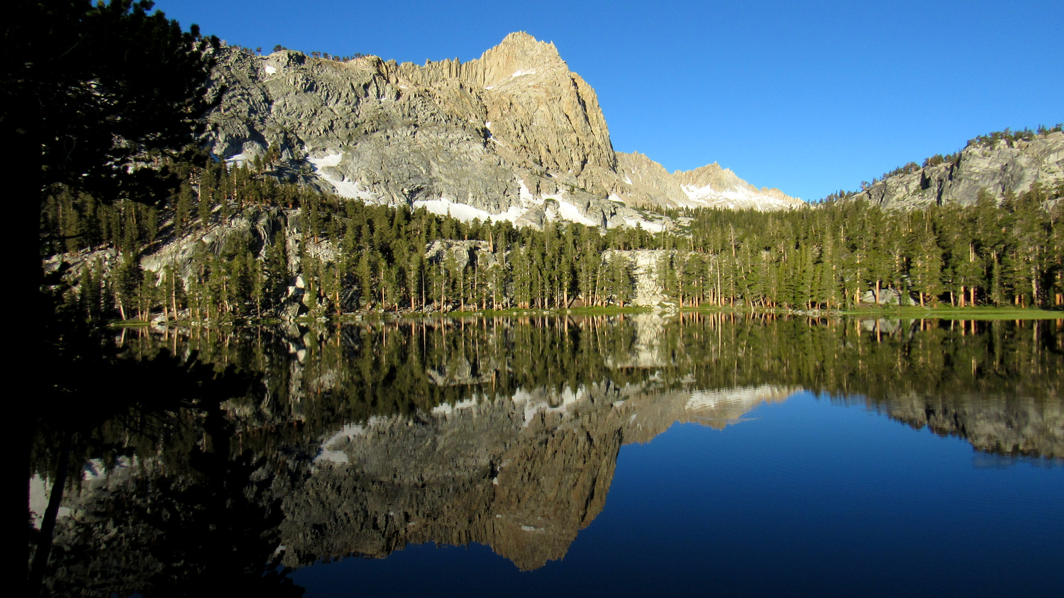
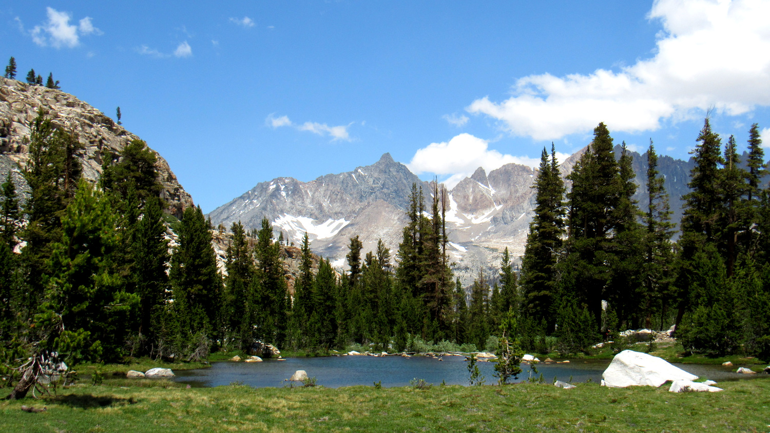
Given that you will have only traveled about 4-5 miles on the day, it may be tempting to push on to the Big Five Lakes. However, I suggest that you cap your distance at 5 for the day and set up camp at the Little Five Lakes. This way, you can fully enjoy exploring the basin without feeling in a hurry to move on to the next destination. If you’re feeling antsy, you can hike down to Big Arroyo to visit the historic Big Arroyo Patrol Cabin. Or, you can find a quiet, shaded spots along the banks of a lake and soak in the brilliant High Sierra scenery.

Second Big Five Lake
For the following day’s hiking between Little Five Lakes and Big Five Lakes, I also recommend that you limit your hiking to a much more modest distance. The Big Five Lakes are, if possible, even more stunning than the Little Five Lakes, and you can easily spend a full day exploring the upper reaches of the Big Five Lakes Basins. To reach the lakes, continue southeast to climb up and over the ridge separating the two basins. At 14.6 miles, an unmaintained spur trail splits away to lead west into the upper four lakes of the basin.

Third Big Five Lake
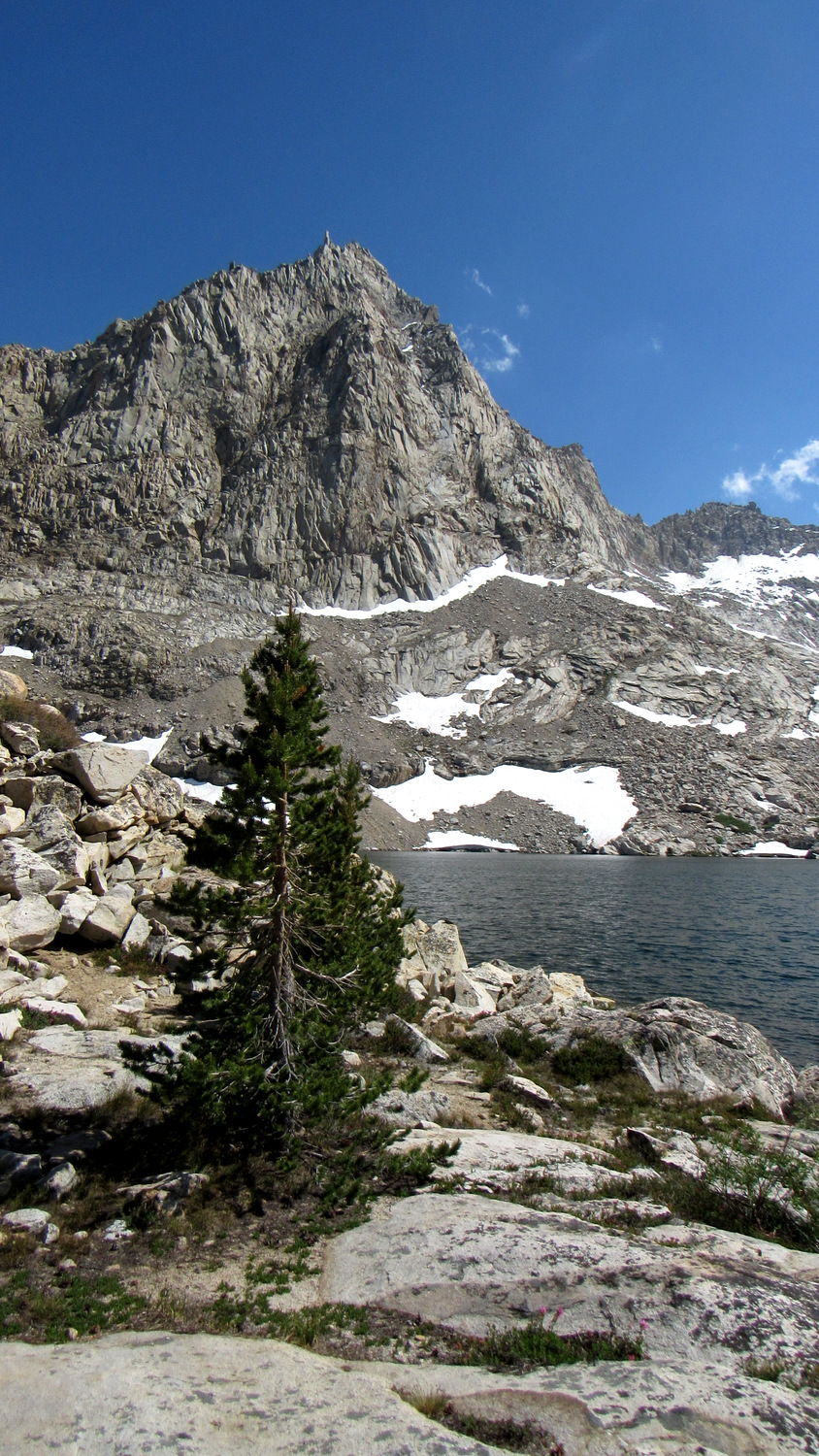
Lakes Two through Five lie separate from Lake One, and none of them have bear lockers. However, this remote terrain and lightly traveled country gives you a chance to stray further and further from the beaten path. Lake Three has some nice campsites on its east end. Whether you camp here or not, the upper lakes are well worth the exploration, which is another reason why you may want to limit the hiking to the span between the two basins.

First Big Five Lake
Lake One, which lies 0.7 mile downhill from the upper lakes, features a bear locker and several well-established campsites. The nicest campsites lie upon a rocky moraine along the lake’s northeast shore. Several other nice campsites lie further southeast toward the lake’s outlet.

A few more navigational challenges emerge as you travel from the Big Five Lakes over a ridge to Lost Canyon. The first occurs immediately after you cross the outlet creek. The trail vanishes for a bit, leaving you to wander around in search of it. This is a trivial bit of nav compared to the obstacle that comes up along an unnamed lake at the top of the ridge. At the swampy outlet of this lake, the trail vanishes in the mud. Old topo maps show the trail heading southeast from this point, but you will want to head due south, hugging the shore of the lake while perhaps doing a bit of rock-hopping. The trail continues on the other side of the marshy section, and from here you can descend down to Lost Creek.

Lost Canyon
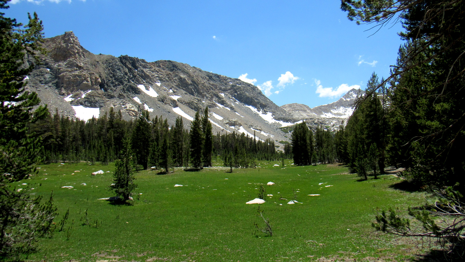
Lost Creek also features a number of perfectly good campsites (with bear locker) that you will still want to skip largely because they are not nearly as scenic as other camping areas behind you and ahead of you. Hopscotch over Lost Creek and begin a progressively gorgeous traverse through the magnificent folds of Lost Canyon. At first, the terrain is dominated by forest with numerous pocket meadows, but at 21 miles, the tree cover recedes revealing beautiful views up canyon toward the Great Western Divide and the craggy heights of Sawtooth Peak. The meandering creek cuts a sluggish ribbon through the canyon bottom, while clusters of wildflowers brighten the grassy tussocks surrounding you.

Looking back down Lost Canyon
At 22.5 miles, the trail begins a switchbacking climb up to the crest of the Great Western Divide that divides Lost Canyon from Columbine Lake. The trail vanishes and splits at a number of places, but it’s easy enough to follow. From one of your probably numerous resting spots in the shade of foxtail pines, look east to get a few last, lingering, longing looks toward Mt. Langley and the Sierra Crest.

Columbine Lake
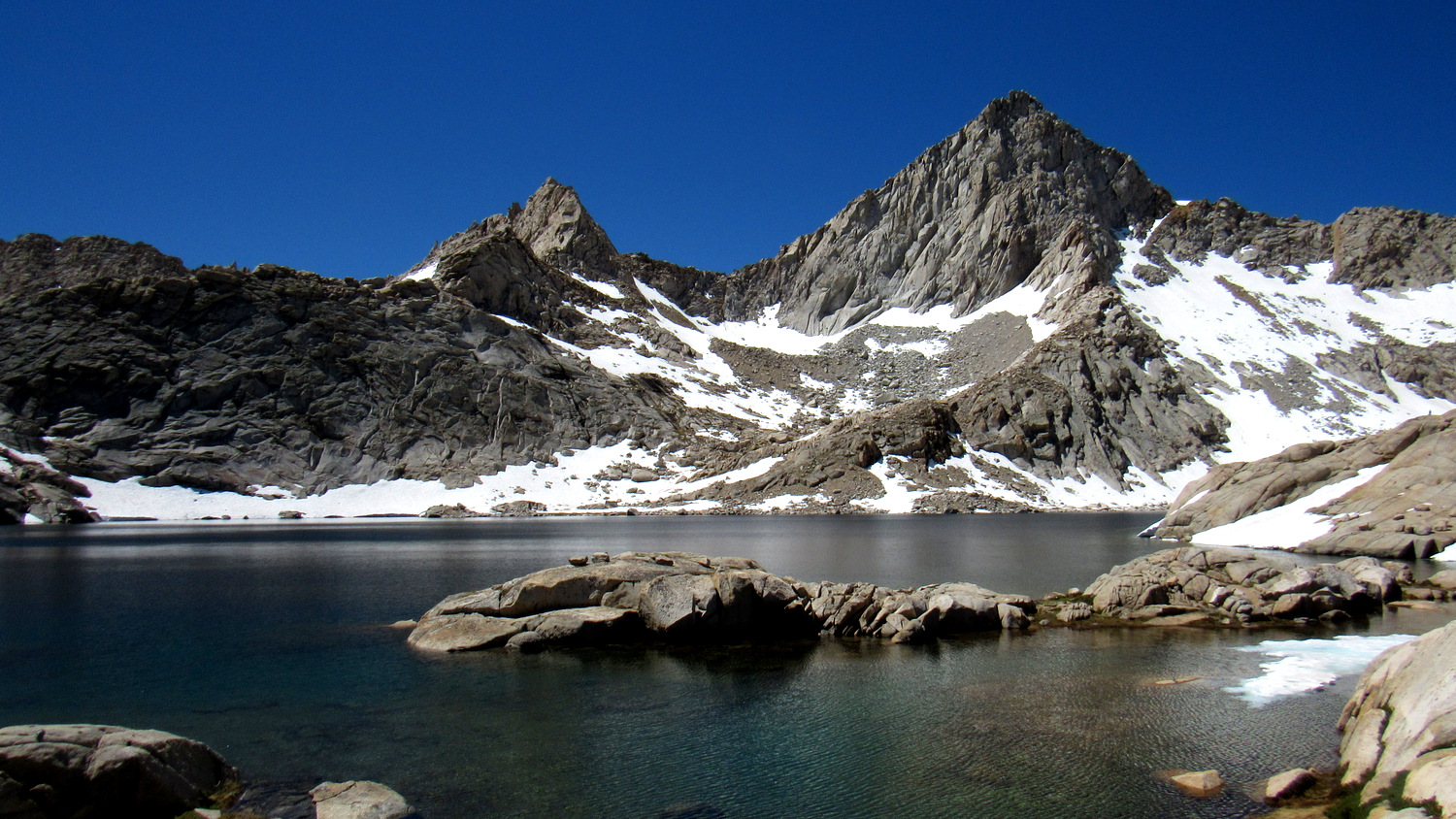
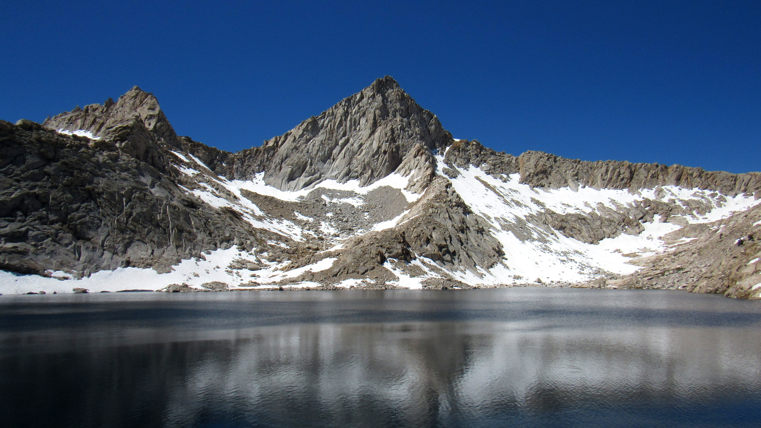
At 22.9 miles, the trail tops out at a ridge overlooking Columbine Lake. This spectacular lake lies directly below Sawtooth Peak. Ice fields and patches of snow bleed into the lakes southern shore, and a few barren, exposed campsites might tempt you into setting up shop for the night. Not long after dropping down from the ridge, the formal trail disappears into an unmaintained route marked by large cairns. Follow the cairns around the north shore of the lake to a spot where the route begins to climb up Sawtooth Pass.

Looking back from Sawtooth Pass
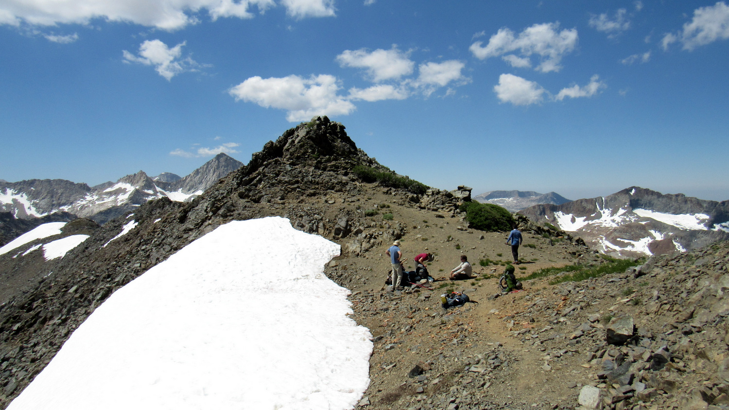
The ascent of Sawtooth Pass represents the most difficult stretch of hiking on the route. The terrain alternates between loose, sandy scree and large rock outcrops. Lingering snow complicates matters by obscuring the trail in spots, and the steep grade slows travel to a crawl. If there’s a lot of snow, the true pass may not be passable. If so, you may want to climb the south-facing angle of a peaklet just north of the true pass. There will be less or even no snow here, and from the top, you can drop down to the other side of the pass.

Looking west from Sawtooth Pass
Once you do reach the summit of Sawtooth Pass, you can enjoy the view 4,500’ down into Mineral King Valley to the west and beyond to the San Joaquin Valley if the weather is clear enough. To the east, you get another look east and north toward Black Rock Pass and Sequoia’s interior. The descent of Sawtooth Pass is nearly as challenging as the ascent, albeit for different reasons. The scree on the Mineral King side is omnipresent, and you will have to push through a lot of it on the steep, unmaintained downhill trail as you make your way down to Monarch Lake. Keep in mind that the true trail heads west from the pass for 0.4 mile before it turns due south.

Monarch Lake
Once at the banks of Monarch Lake, you have the option of stopping for the night to spare your knees the punishment of a full descent from Sawtooth Pass. This small, but beautiful lake is a worthy stopping spot, and you will find numerous camping areas, a bear locker, and a pit toilet.

To wrap up the hike, continue past lower Monarch Lake across its outlet and then around the rim of the declivity holding Monarch Creek. Beyond this point, the trail makes a gently descending traverse across a colorful slope before dropping to a junction with an unmaintained trail to Crystal Lake at 26.5 miles. From here, the trail switchbacks down a lush, north-facing slope down to another crossing of Monarch Creek next to a lush meadow. Beyond the crossing, continue downhill to the junction with the Timber Gap Trail and turn left to return to your car.
Tags: Big Arroyo, Big Five Lakes, Black Rock Pass, Cliff Creek, Cliff Creek Falls, Columbine Lake, crystal lake, Little Five Lakes, Lost Canyon, Lost Creek, Mineral King, Monarch Creek, Monarch Lake, Pinto Lake, Redwood Meadow, Sawtooth Pass, Sawtooth Peak, Timber Gap


