A short hike through a historic WWII-era calcite mine, including some fun canyon crawls and a few short slot canyons.
While camping in Anza-Borrego with some friends, we realized none of us had ever been into a slot canyon before. So off we went to the closest one – the Calcite Mine.
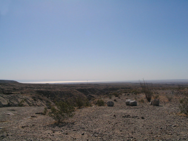
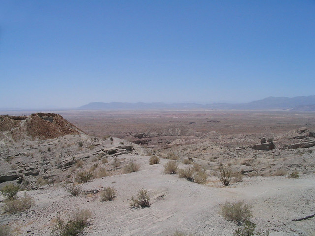
This desert looks deceivingly flat when you casually glance across it. Then, as you walk, you start to notice smaller ridges and valleys. As you get closer and closer to the valleys, you see they actually run pretty deep.
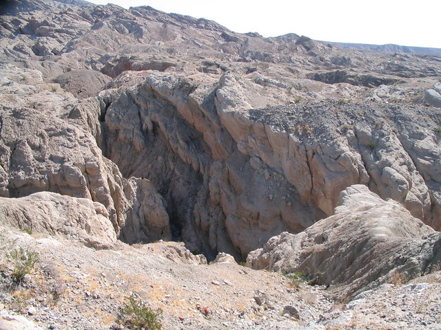
There’s a vast system of old wash canyons and fault lines beneath the park that’s torn the ground into a labyrinth of canyons. Water rushes through the cracks, gorging out these deep gashes … which are then further carved by wind and seismic activity.
We drove to the Calcite Mine Trail, the site of the only operating calcite mine in the U.S., put into emergency operation after the attack on Pearl Harbor.
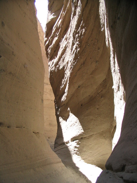
The trail starts out just off the main, paved road and follows the old service road to the mine for the first few miles. At one point, though, the road dropped to the canyon floor, where a large wash canyon intersected it. We took a detour on the north wash, and walked into our first slot canyon.
Carved more by water than wind, the slot canyon is much smoother than the wash canyons, and comprised more of tougher sandstone than loose layers of dry mud. Also, as the name would suggest, the canyons got extremely narrow, which led to some great Indiana Jones-style scenery.
Eventually, the slot canyon opened up again, and we decided to scale up the walls to get back on the mine trail. We found a fairly steep section and started up.
This was by far the most challenging climb I’d done so far. The incline was teetering on the edge of vertical, with loose gravel and long sections of brittle walls – so not too much to grab on to. I had to take my time with this one, and stopped a few times to clear gravel and search for grips.
I realized I liked this wall-scrambling for some of the same reasons I dig hiking so much – the clear challenge, the reliance on endurance and balance, and the massive feeling of achievement when you’ve reached your goal. It also activates my deep-seated Yankee work ethic – if you work hard and smart, you’ll eventually win out.
In a world where so many of our gratifications are delayed, it is refreshing to stand at the bottom of a mountain or canyon, set your sights at the top and tell yourself you’ll be up there soon. You know it won’t be easy, but you know if you just ignore the pain in your feet or the sun beating down on you, and focus on the scenery, the scent of the trees, or the feel of sandstone, you’ll make it.
And when you reach the top and look down at where you started … man, there is nothing like it. This picture doesn’t really portray the scale or the slope of the canyon wall, but when I pulled myself up over the edge, all I did was dust my hands off, clap them together, and let out a loud yell.
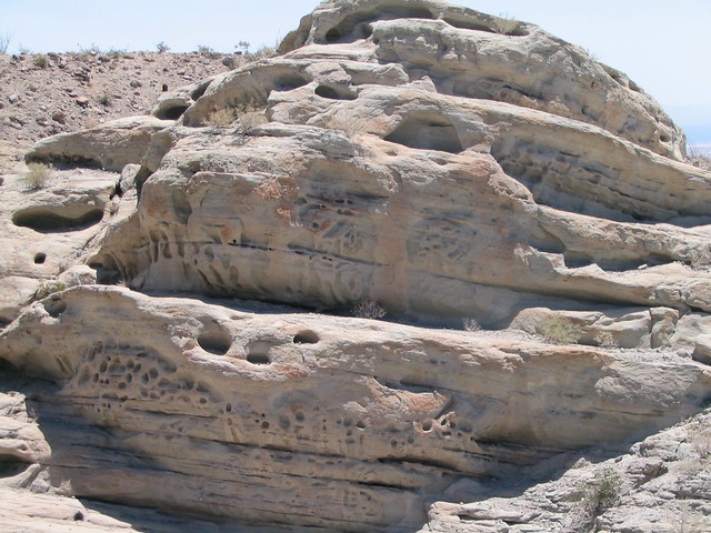
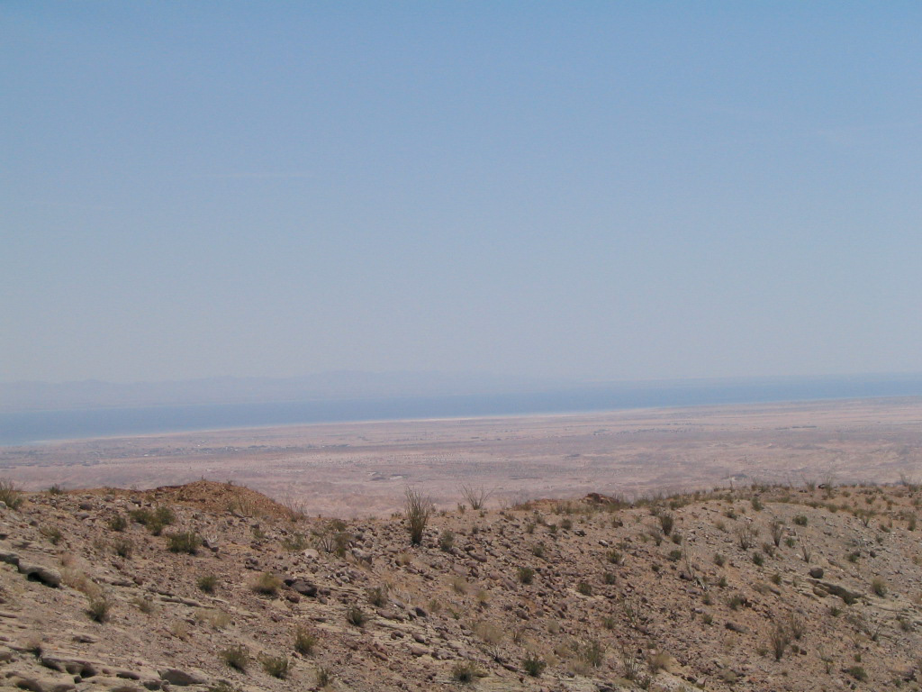
We hiked up to the old mine site, which was totally abandoned and empty, although you could still clearly see the areas where miners had dug shafts into the canyon walls. We explored some of the otherworldly eroded land near the summit before sitting on a cliff and looking over the entire park.
Tags: Anza-Borrego Desert State Park, calcite mine, Camping, Hiking, Hiking Anza-Borrego, San Diego, Trail Write-Ups


