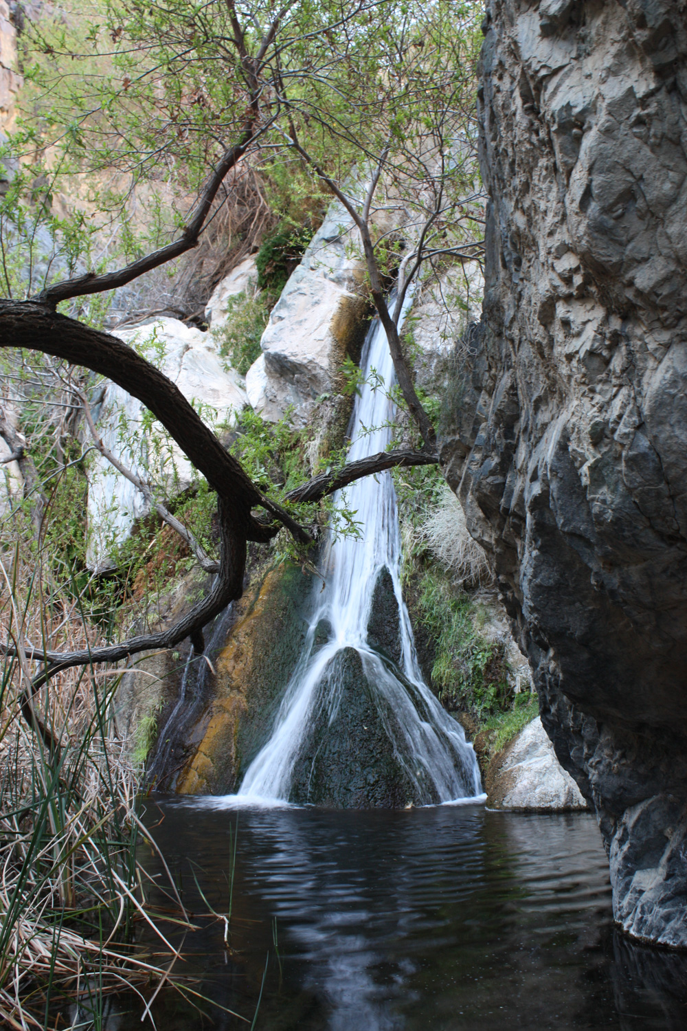
A decidedly non-desert landscape in the middle of one of the hottest, driest deserts in the world – Darwin Falls is one of the only permanent fresh water sources in the park. A spring-fed creek flows through a narrow canyon, allowing grasses, trees, and all forms of life to flourish in a very small pocket of land. This is a hiking experience that is not to be missed.
I have been to my fair share of desert oases, but I can honestly say I’ve never been anywhere quite like Darwin Falls. This is a fairly short and easy hike, but the broad range of terrain and shocking amounts of greenery make this quick hike a must-do if you’re in the western edge of the National Park.
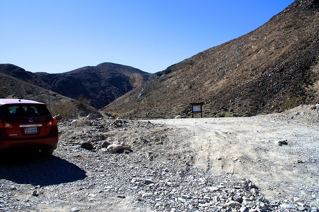
The trailhead begins at a small parking lot 2.6 miles down a rough but passable dirt road. I drove a 2WD Honda Accord down this road with no trouble other than my own innate anxiety. At the small parking area, you’ll see that the road continues, but this section is only passable with high-clearance 4WD vehicles. Besides, that’s not where the hike is, so park here and gear-up!
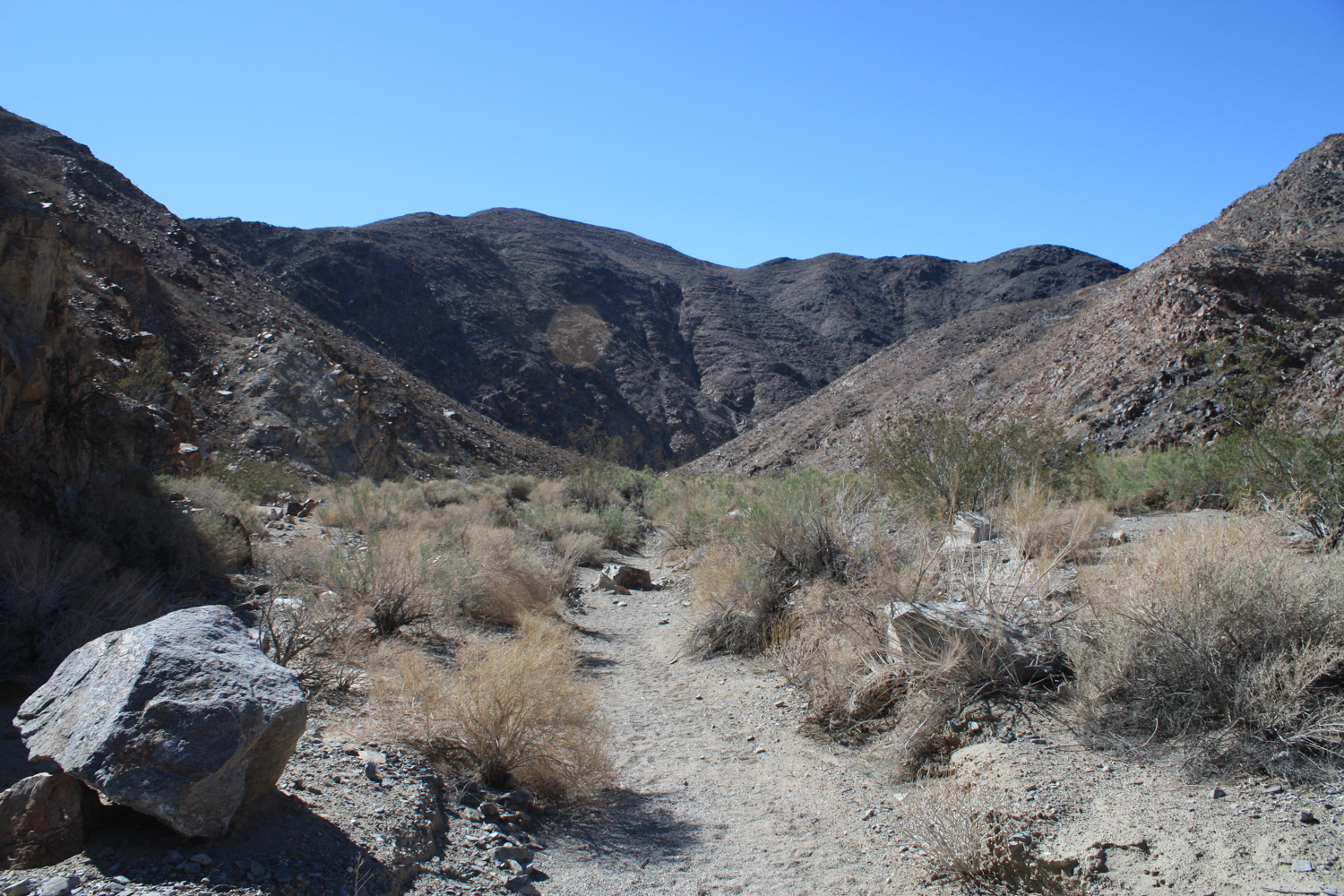
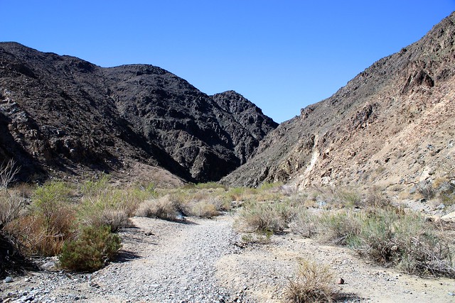
Continue walking on the sandy wash. At 0.3 miles, you’ll note a broad, canyon-wide fence used to prevent vehicles from entering the area. Pass through and continue into the canyon.

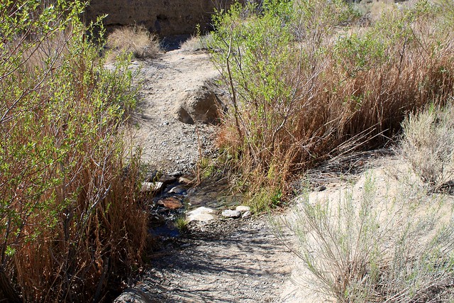
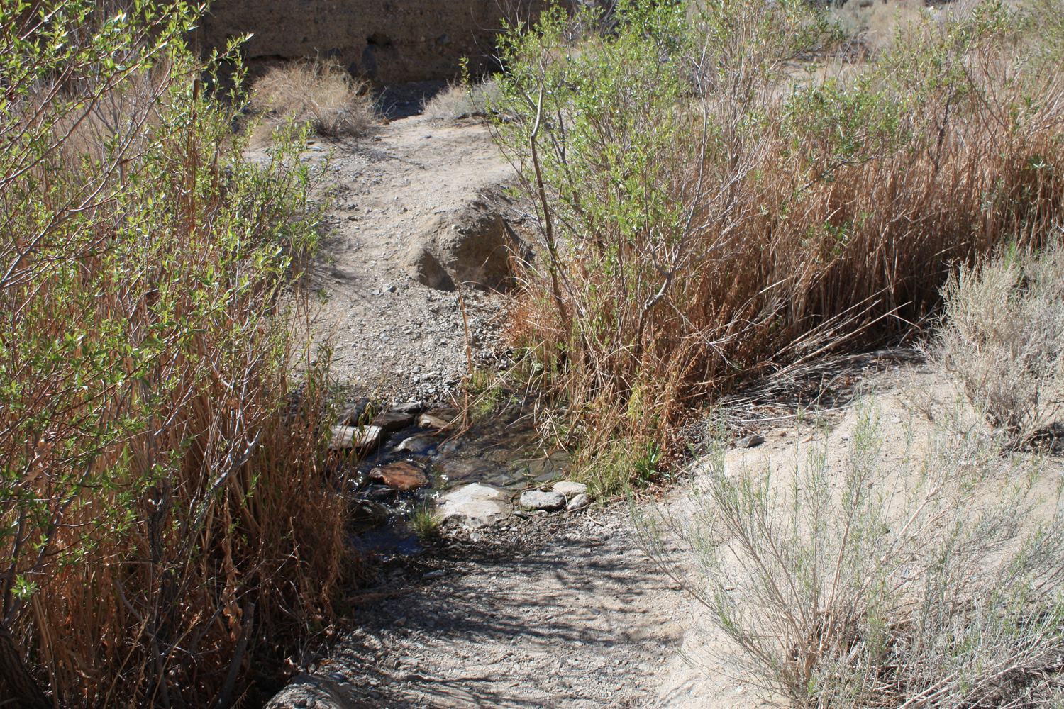
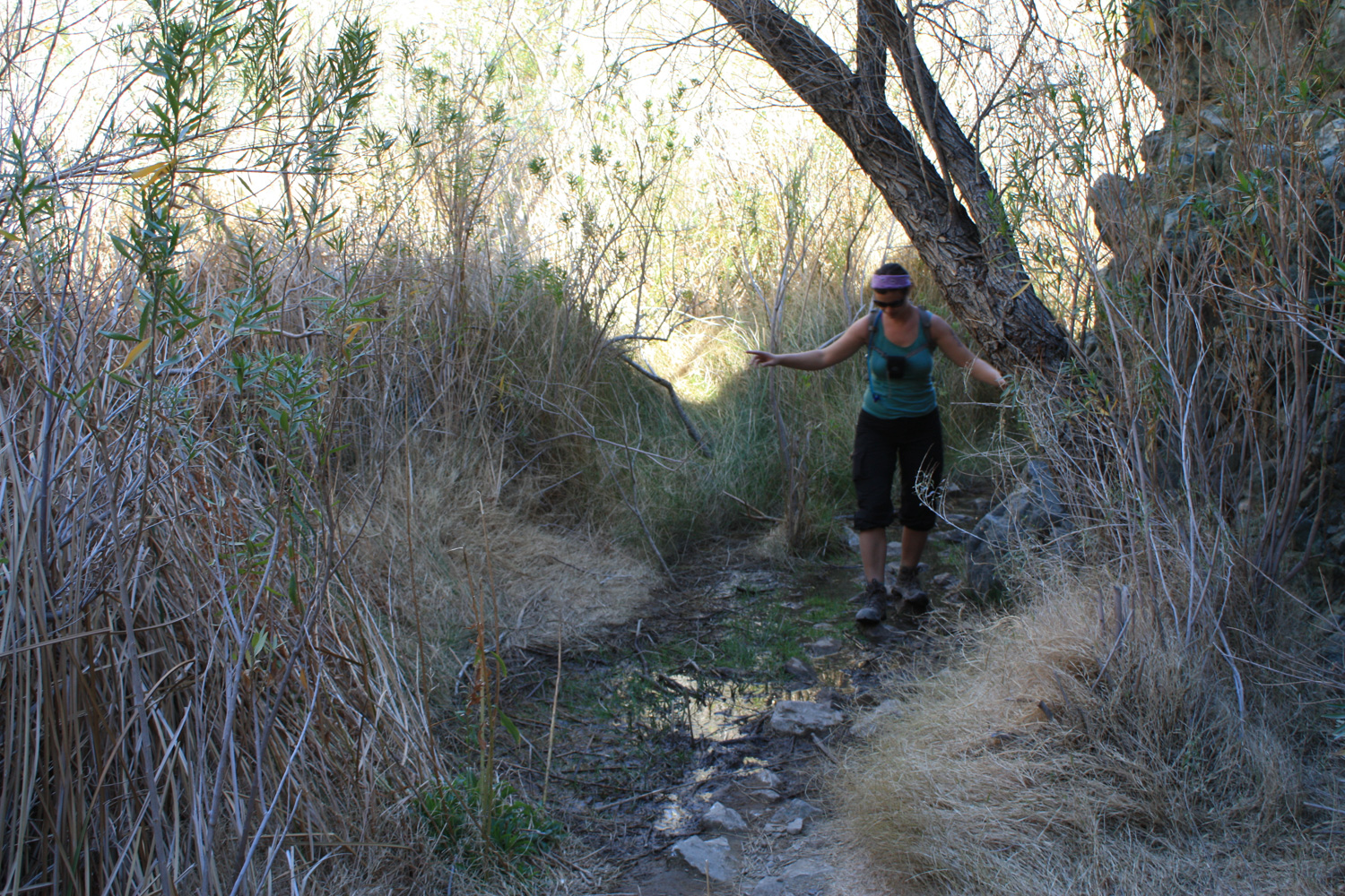
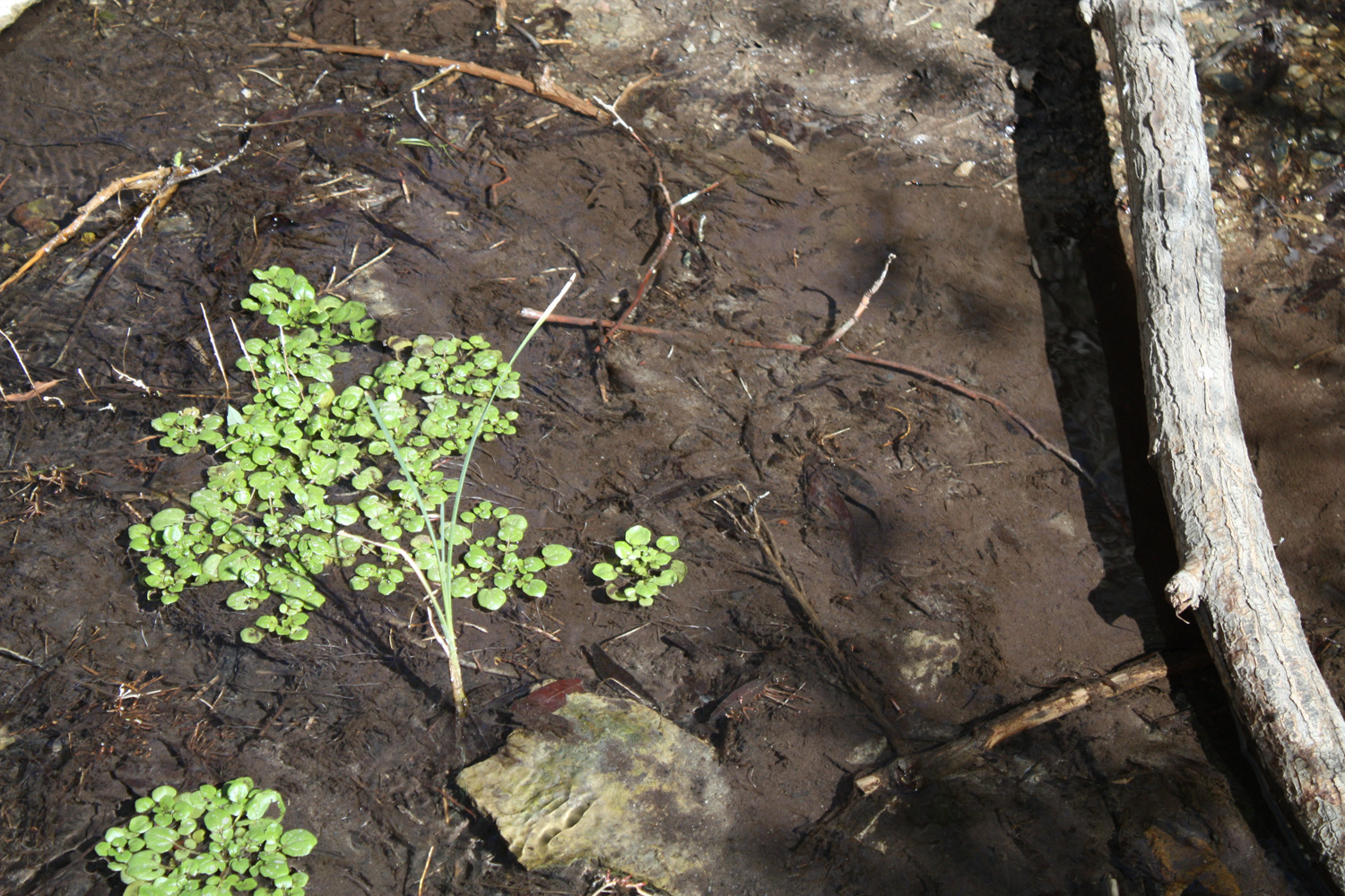
At 0.6 miles into the canyon, you will cross a small but very full-fledged stream, lined with green. And this is really just the beginning of the experience. In just a few more moments of hiking, you will find yourself in a narrow, lush riparian canyon. Cottonwood trees and willows cover the ground and birdsong fills the much-cooler canyon air.
The trail makes many crossings of the stream here. There are some makeshift wooden bridges and rocks to hop across, but if you’re wearing waterproof boots it should almost always be shallow enough for you to just tromp through it.
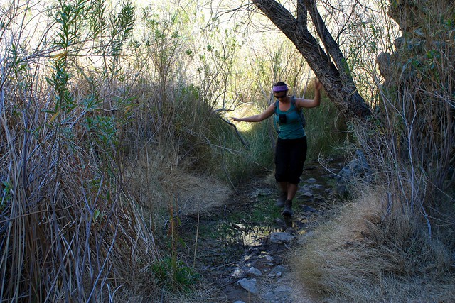
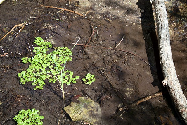
Just when you think this place can’t get any more un-desert-like, you’ll come across it just a mile into the hike: Darwin Falls.
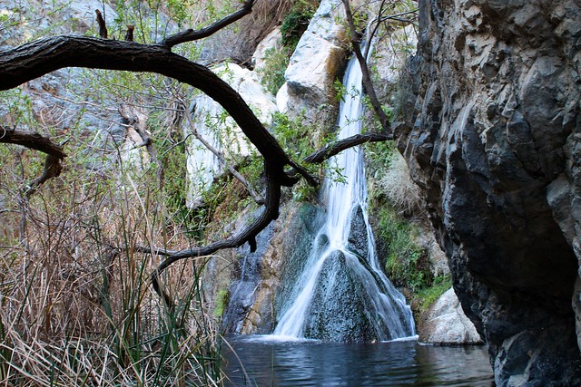
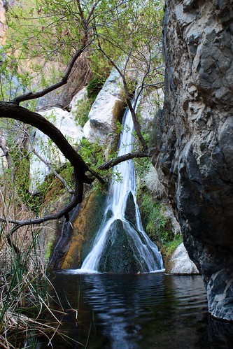
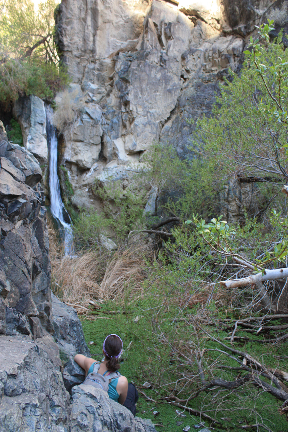
My hiking companions and I tried to scramble up, but couldn’t find a safe route. The granite here is both well-polished and dusty, and that combined with wet boots from the stream crossings makes for some very slippery footholds. If you do decide to give the scramble a try, please exercise extreme caution and proceed slowly.
However, even if you don’t decide to scramble, you will feel very rewarded having done this hike. Return out the same way you came, and be prepared for a shock once you get out of the greenery and back into the desert. Everyone in my hiking group had to stop to take it all in – there’s not really a transition … one minute you’re in the shade of trees, and the next, out in a desert wasteland.
Tags: Darwin Falls, death valley national park, Hiking, waterfalls


