Trail Canyon Falls is a stunning 30-foot waterfall that visually punches well above its weight. Nestled in a rugged canyon with steep walls on all sides with distant peaks in the background, the overall effect on the eyes means Trail Canyon Falls is an incredibly impressive sight, especially in the days following a good winter storm. In the warm summer months, the creek cascading over the falls can be a trickle – or nonexistent. This canyon and nearby Condor Peak and Fox Mountain are considered so exceptional and rugged that they’re currently being studied as potential federal wilderness areas.
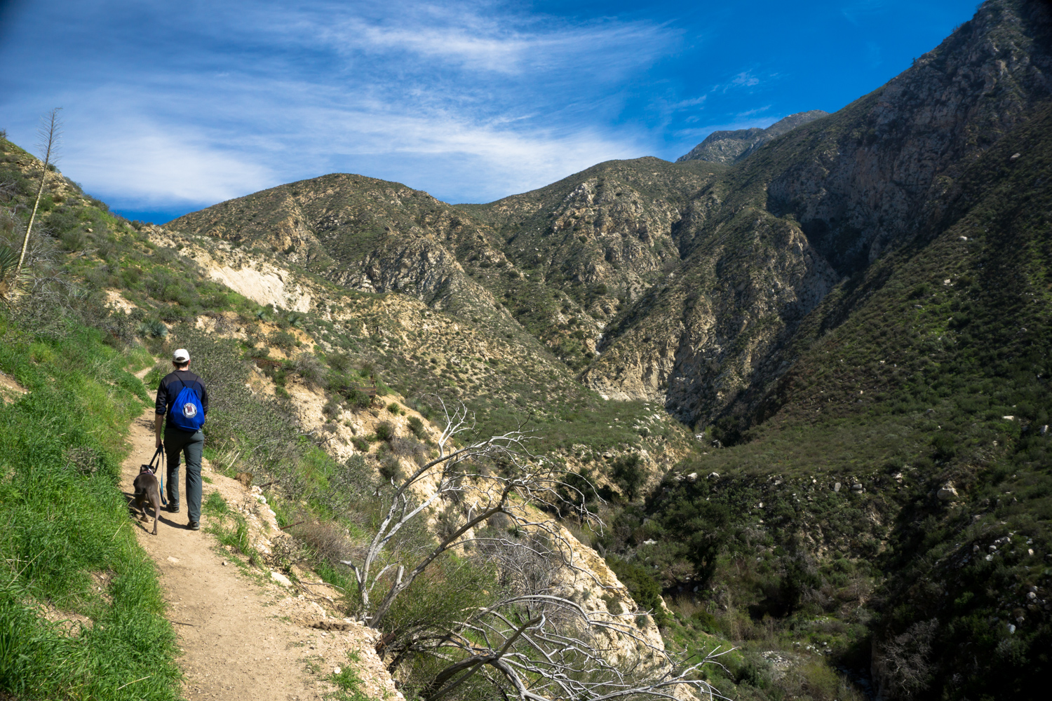
Begin your hike on the dirt Trail Canyon Road, climbing its gradual ascent as views of the Big Tujunga Canyon open up in all directions around you. If the gate to Trail Canyon Road is open, you can also drive your car to the official Trail Canyon Trailhead, which takes 0.3 mile off the hike in each direction. The road is steep with sharp curves, but is passable for 2WD passenger cars. At the junction, stay to the right to descend down toward Trail Canyon.

In 0.3 mile, you’ll see some ruined cabins as well as some very much lived-in models near a small circular clearing. Stay to the left and you’ll spot a prominent sign-in book and trailhead.
Follow this route as it winds through a few more cabins on remnants of an old paved road before it disintegrates into a standard single-track trail. The trail crosses creek beds several times, and if you are hiking after a rainstorm or after a wet winter, expect to boulder-hop or balance on tree trunks if you’re particular about getting your feet wet.

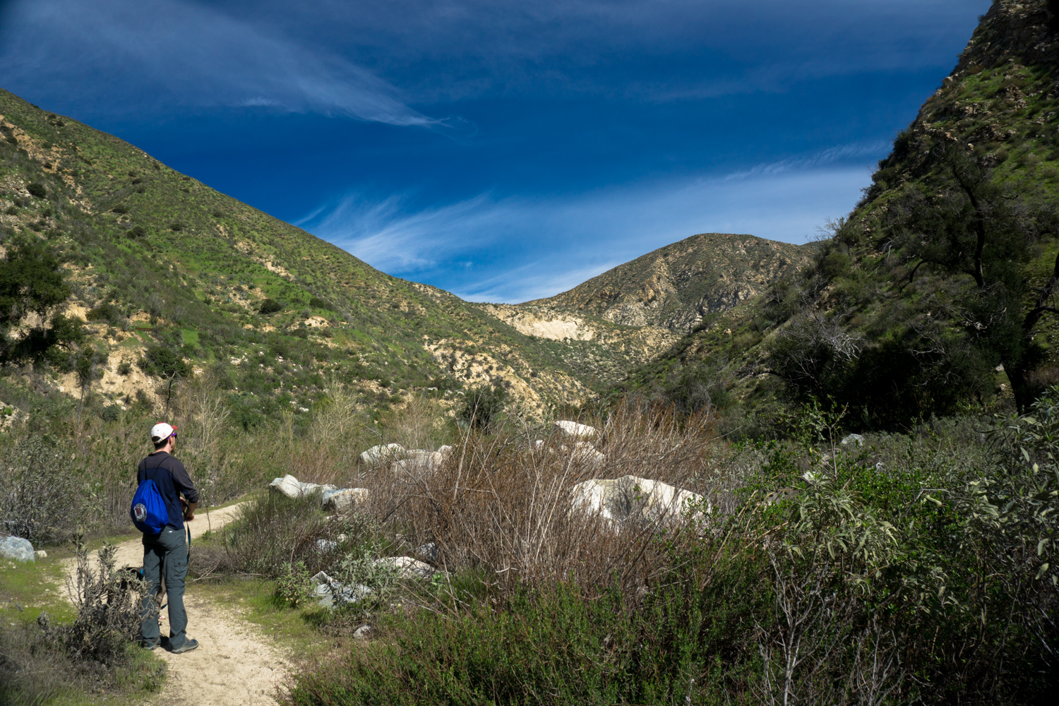
Just before the 0.6 mile mark, keep to the right to stay on the trail, ignoring a wider gravel road that leads to another private cabin.
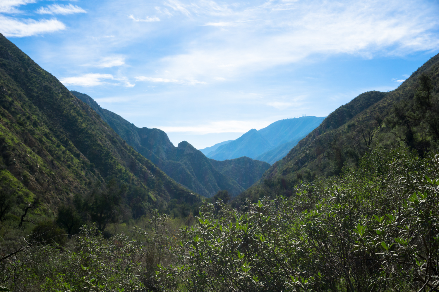
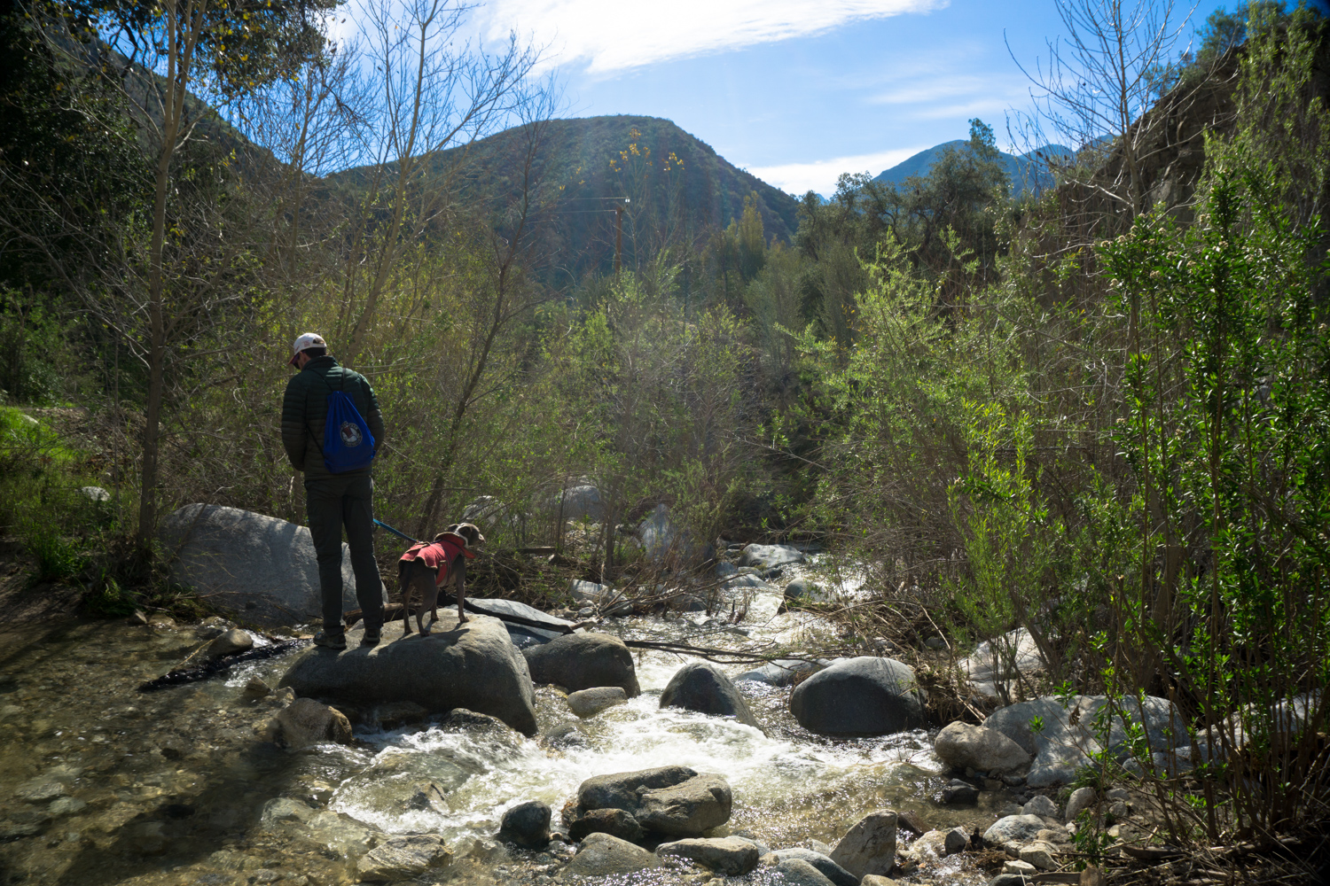
After that, you’re pretty much just sticking to the one trail in the canyon the rest of the trip, so just watch where you’re stepping and soak in the views of this incredible canyon.


At the 1.3 mile mark, the trail hops across the creek one more time, then hugs the western wall of the canyon as it makes a climb upward. It’s not an especially steep or arduous climb, but because you’ve mostly been hopping in and out of the bottom of the canyon, you’ll definitely notice it. There’s also no shade to be found in this stretch, so if you’re hiking on a summer afternoon well, I hope you brought some cold water with ya!

Hoaryleaf ceanothus (Ceanothus crassifolius)
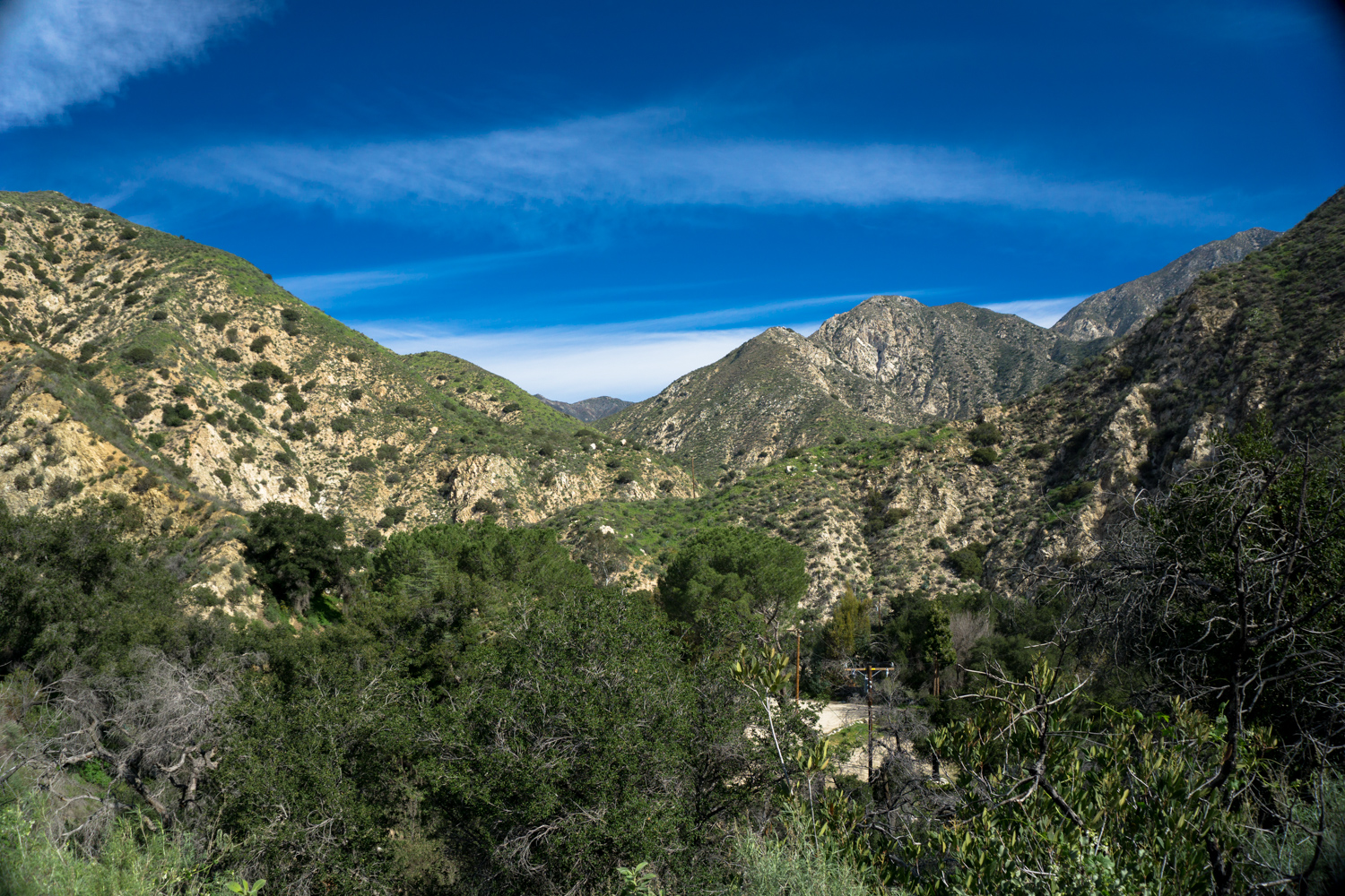
At 1.7 miles, if you look to the northeast you may spot a low-flowing waterfall and think you’ve taken a wrong turn. Worry not, gentle hiker – this is just a mostly-dry waterfall in a side canyon that only flows during and immediately following a good rainstorm. Trail Canyon Falls is just around the corner, though, and when the canyon turns west at 1.8 miles, you’ll be able to see it falling out of your field of vision, with the prominent peak of Mount McKinley right behind it:

You’ll pass a rough use trail to the bottom of the falls at 1.9 miles and hit a promontory on the western edge of the falls at 2 miles. The trail to the bottom of the falls is very steep, very rough, and totally unmaintained. Descend at your own risk.

If you keep hiking past the western promontory at 2 miles, the trail will descend into the creek bed again, where you can boulder hop or follow a series of use trails to the edge of the waterfall. It’s an easier, less dangerous route than trying to scramble down another steep use trail from the western promontory.

A comparison with the photo for Trail Canyon Falls in my book Day Hiking Los Angeles.
Further past Trail Canyon Falls lies the former route to Condor Peak, an epic full-day journey that was sadly destroyed by the Station Fire. Crews have worked tirelessly to restore access to Trail Canyon Falls, but as of 2017, the route beyond the fall remains heavily overgrown and unmaintained. I do know that crews are targeting this section of trail for rehabilitation, but there’s no estimated date for completion.
For now, just enjoy your time at this beautiful waterfall and return back the way you came when you’re done.

Bush poppy (Dendromecon rigida)