The Thumb Butte Trail is a moderate hike in the Prescott National Forest that leads up toward a rock formation that — as the name might suggest — looks like a thumb piercing out into the sky. This trail is a loop that will take hikers up to an elevation of 6,318 feet and offers scenic views of the surrounding and distant mountain ranges including the San Francisco Peaks, home to the tallest mountain in the state of Arizona.
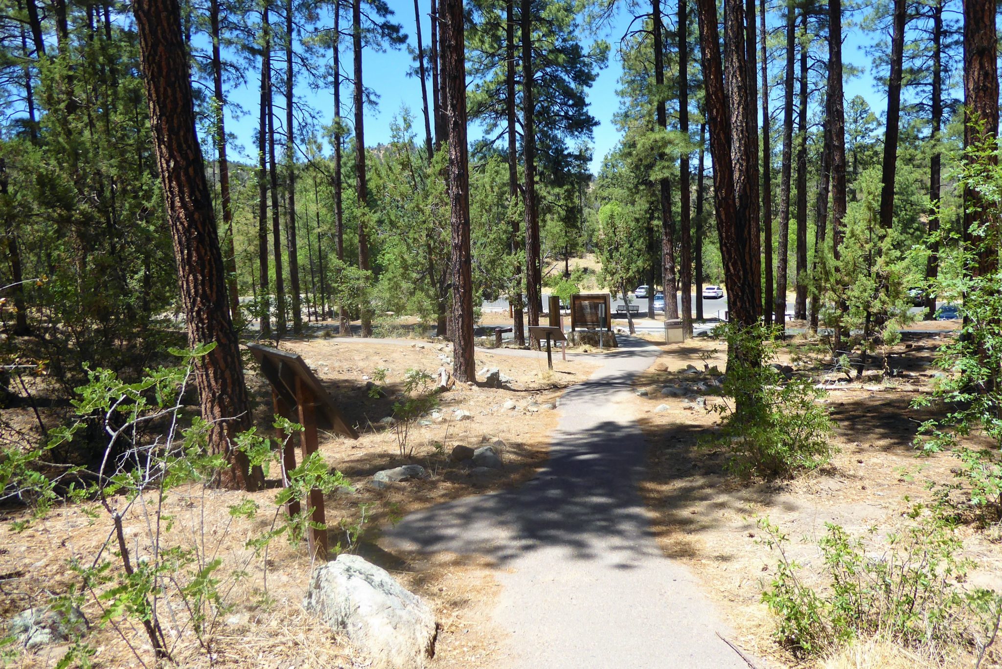
This trail is located only 3 miles from downtown Prescott but upon entering the parking lot, you’ll feel like you’ve left that city far, far behind.
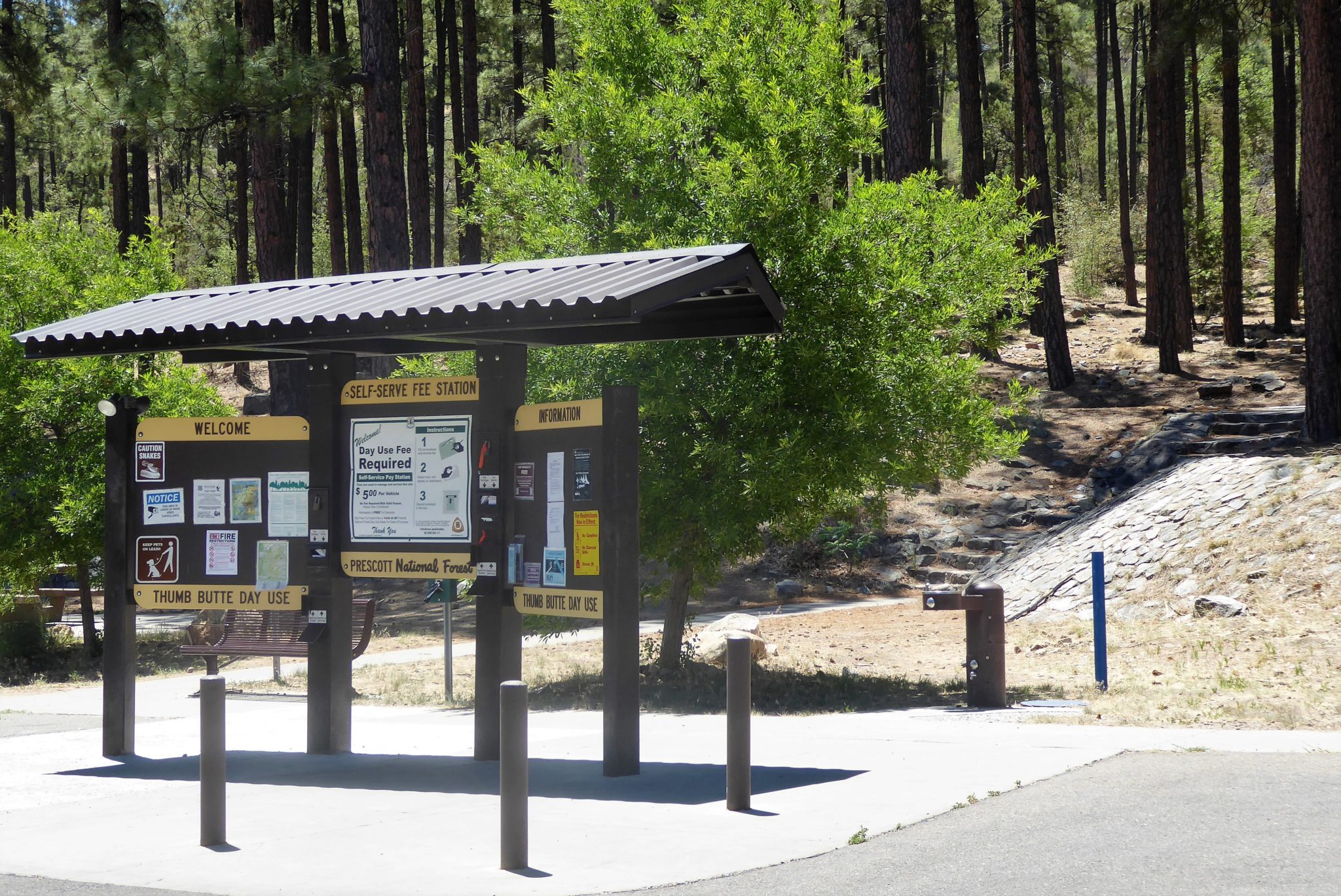
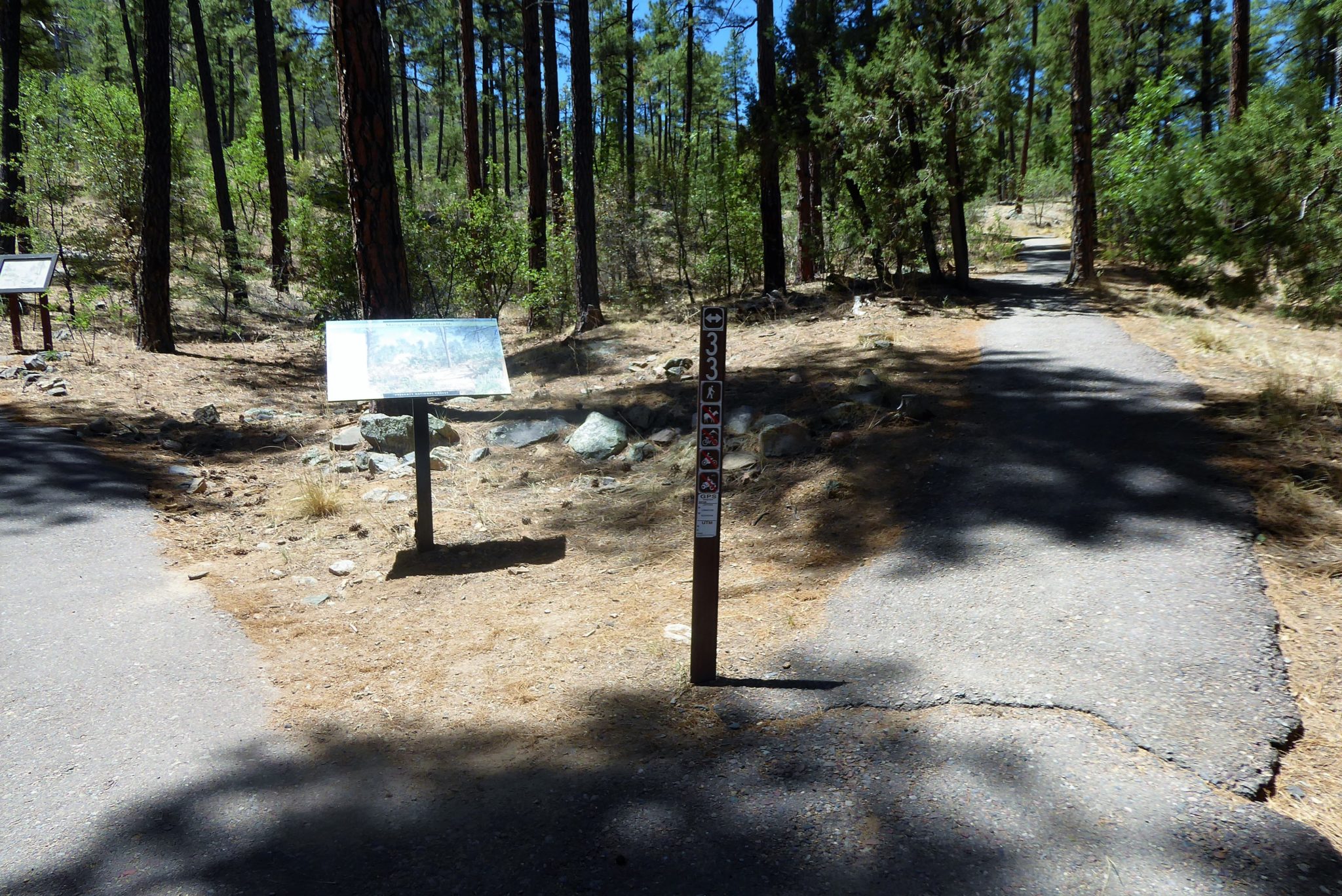
Park and pay the fee ($5 at time of writing in 2018). You will find the trailhead located right behind the pay station. There is a set of stone steps that you will walk up. The official marker for the beginning of the trail is visible from the top of the stairs.

This 2-mile hike is a loop trail, so it’s up to you which direction you would like to start. For this trail write up, I decided to hike counterclockwise by taking the path on the right.

The trail begins with an incline amidst the towering ponderosa pines. These powerful trees sprouting up from the Earth is a true forest, and a far cry from the desert scenery at lower elevations in Arizona. These dry pine forests can be found at higher elevations throughout the southwest, but their presence can still often feel surprising — both for visitors and locals alike.
As you hike along you will come to a section with a gate and cattle guard, a remnant of the time when cattle used to graze in this area.

The mightiness of the pine trees begins to fade away as now you hike higher. Eventually you’ll be about at eye-level with their outstretched branches, and then you’ll top out above them.

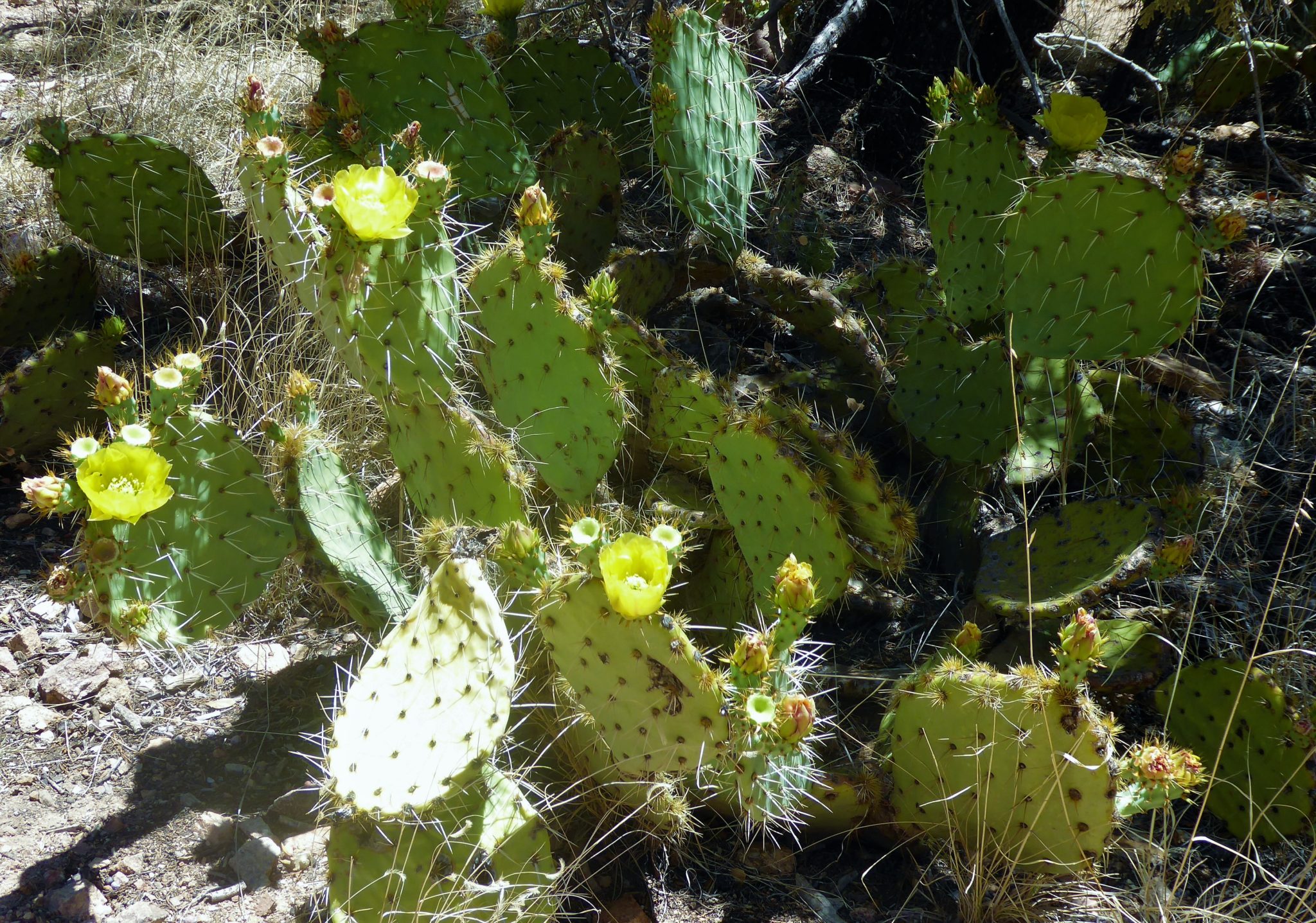
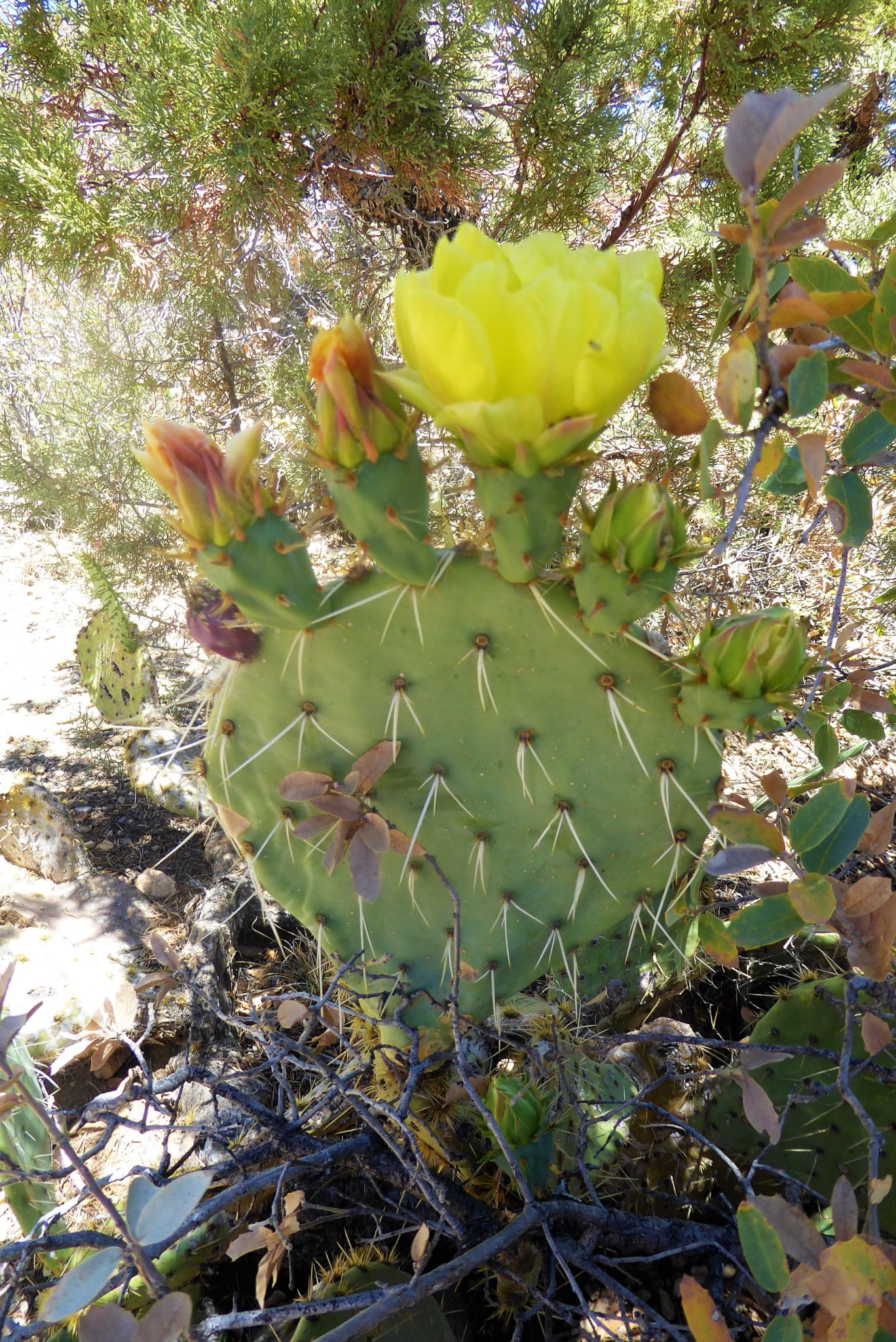
At this higher elevation the trail exposes the desert landscape with lots of prickly pears growing along the sides of the trail. In the early summer months, they show off with vibrant yellow flowers — but at all times make sure you keep a safe distance!


As you continue hiking along, there will be benches placed out in certain lookout points, allowing you a comfortable spot to relax and enjoy the stunning view.

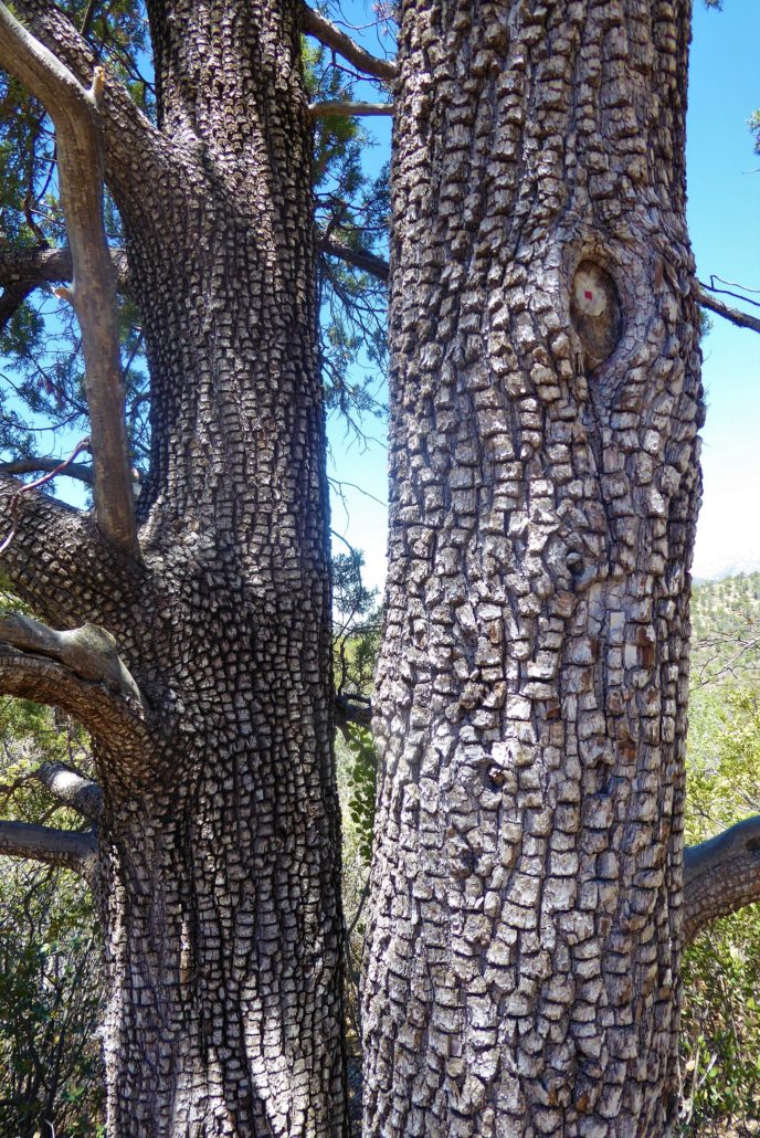
Along the trail, there are also some plaques with information about the wildlife and vegetation in this area. One tree that will be sure to grab your attention is the alligator juniper tree. These junipers range from central Mexico to central Arizona and New Mexico and tend to grow in dry, high altitudes. You’ll figure out how it got its name once you take a look at its distinctive bark:

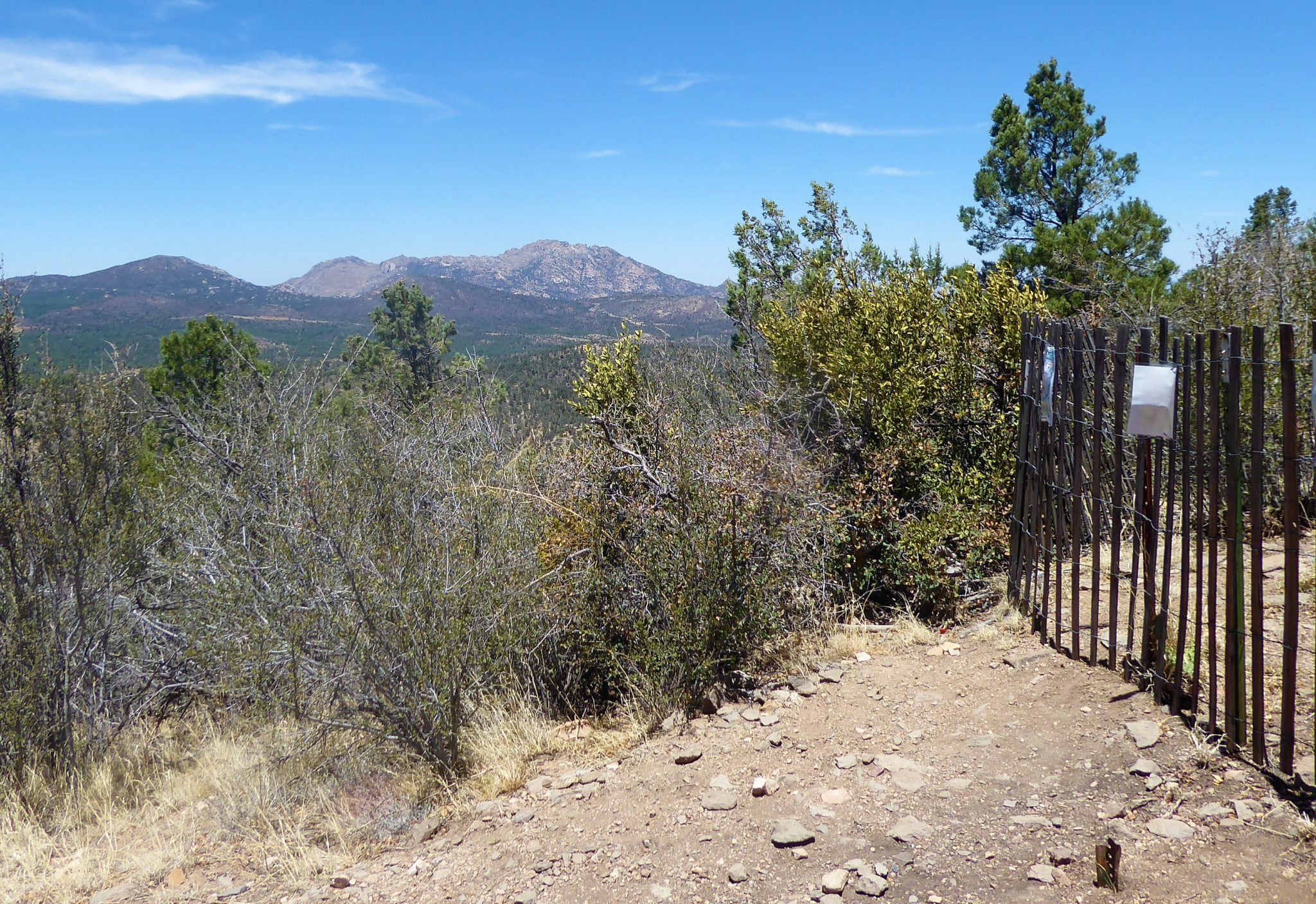
This trail is also known to be popular for bird watching. During the spring season, the top portion of the Thumb Butte is closed off due to falcon nesting. However, this trail is open yearly, as it only borders the falcon nesting area. If you’re hiking here during nesting season, please respect the fence (and the birds) and leave that section of the mountain in peace.

To the right of this fence is the falcon nesting area
At around, 1.1 mile you will come to a forked section of the trail. There are no trail signs, but you will want to stay to the left. It is after this curve that there is a memorial in honor for the fallen 19 Prescott Hotshots, who tragically lost their lives in a wildfire. Another hiking trail, known as the Hotshots & Journey Trail also honors these heroes and allows hikers to walk the same trail these men walked on that fateful day.
![]()
After passing the memorial you will get a close-up view of the Thumb Butte, sticking out of the mountain. As you approach closer the trail will now turn into a paved surface with metal railings along the side. From this butte side of the mountain, you will be able to see the gorgeous surrounding mountains.

The trail now begins to decline down in a series of steep switchbacks. Seeing as how this section is paved, it makes it an easy hike down.

Before you know it, you will back among those tall ponderosa pine trees. You will come to another cattle guard area and then shortly see the parking lot once again.

Tags: Arizona, AZ, hike, Hiking, National Forest, nature, outdoors, Phoenix, Prescott, Prescott National Forest, Summer trail, Thumb Butte, trails