
While mainly known as a climbing mecca in Oregon, Smith Rock State Park is also home to some of the best hiking in central Oregon. Located a very short drive from highway 97, the 652 acre park offers the perfect balance between accessibility and a feeling of expansive wildness. On a trip up the Summit Trail, it’s sometimes hard to believe that Redmond is a mere 15 minutes away, especially if you can do the trip in the quieter spring and fall seasons. As I’ve waxed poetic before, Smith Rock is truly a gem among Oregon public lands, offering an arid high desert respite from the rains west of the Cascade mountains.
Before moving onto the trail description, a quick geology lesson (I promise, it’s an interesting one). As you’ve likely caught onto by now, much of the dramatic features we know and love in the pacific northwest were formed through volcanic processes. The formations we see at Smith Rock actually lie along the northern edge of an ancient super volcano, now known as the Crooked River Caldera. At 16 miles long and 17 miles wide, the depression was formed through several eruptions occurring between 29.7 and 27.5 million years ago. On a trip through Smith Rock State Park, many types of volcanic deposits can be viewed today among the towering exposed walls. A more recent eruption (a mere 400,000 years ago) likely shifted the crooked river up against Smith Rock, where it continues to erode the rock deposits found there. A more detailed history and description of the Crooked River Caldera can be found here.
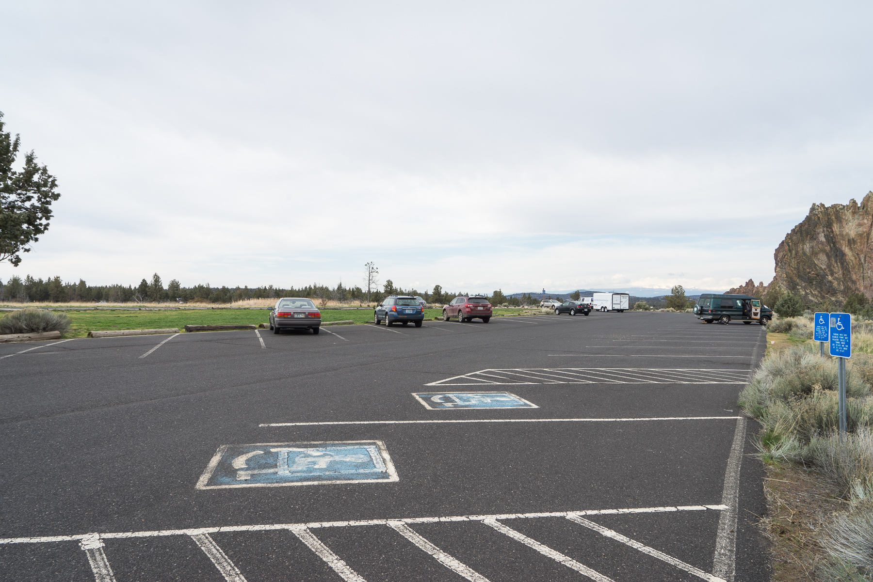
A hike along the 7.7 mile Summit Loop offers an excellent opportunity to view the beautiful results of these geologic processes, as you travel from a meandering riverside walk to the upper elevations of the park. Beginning at the main parking lot off of NE Crooked River Drive, the trail can be picked up at northern end of the lot.


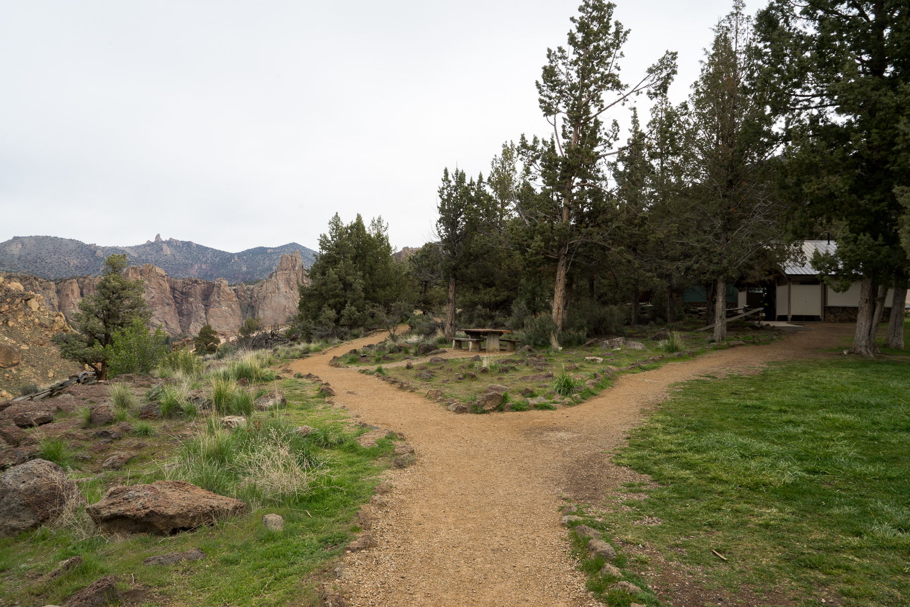
Follow the graveled Rim Trail for roughly .2 miles. To your left, you’ll immediately have great views of the canyon and rock formations as you pass several park facilities. During the summer months, water can be found at the visitor’s center, as well as at the base of the Canyon Trail before crossing over the Crooked River.

At a well-marked intersection with the Canyon Trail, turn left and begin heading downhill. From here, you have two options to get down to the river: continue on the more gradual Canyon Trail, or take a right after .1 miles onto the more step-like Chute Trail. While not a big difference, the Chute Trail is slightly shorter and more direct, however either route is fine. If continuing along the Canyon Trail, be sure to stay to the right in .2 miles to eventually reach the river.
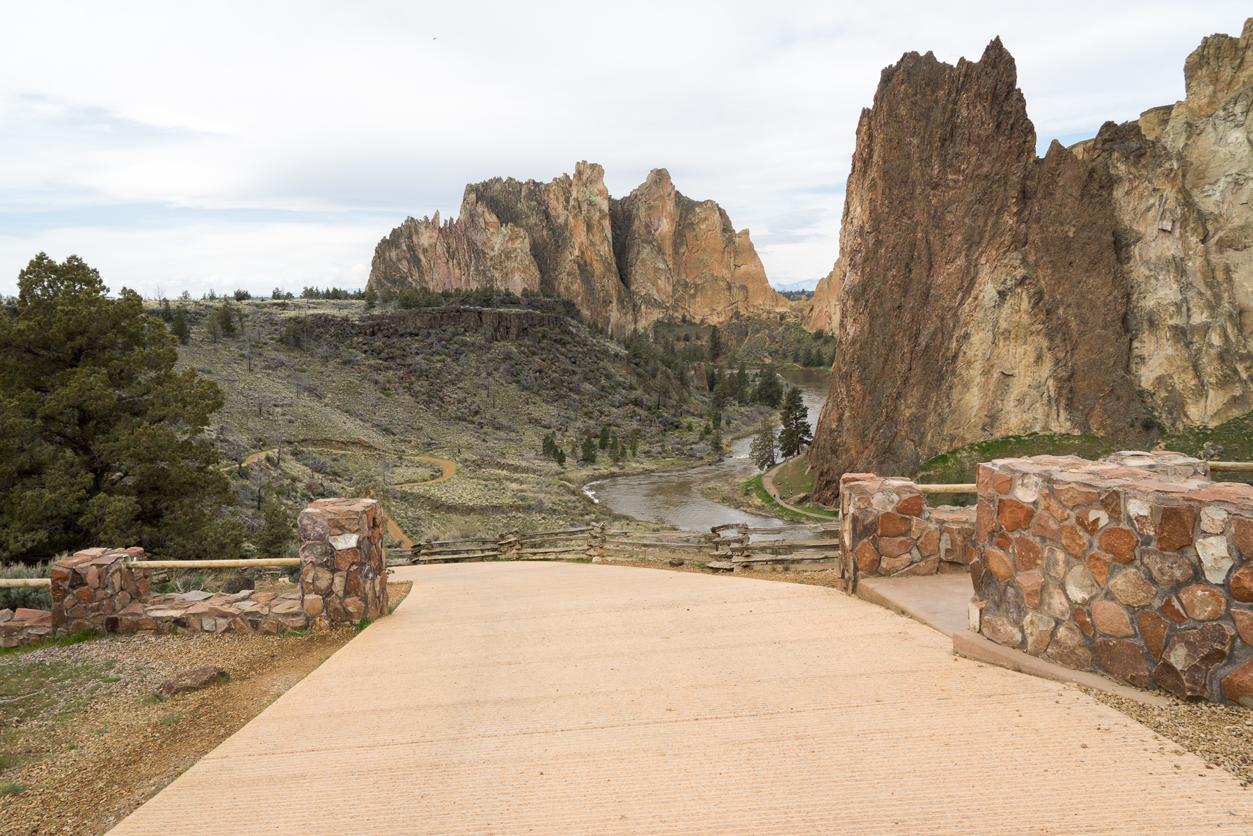

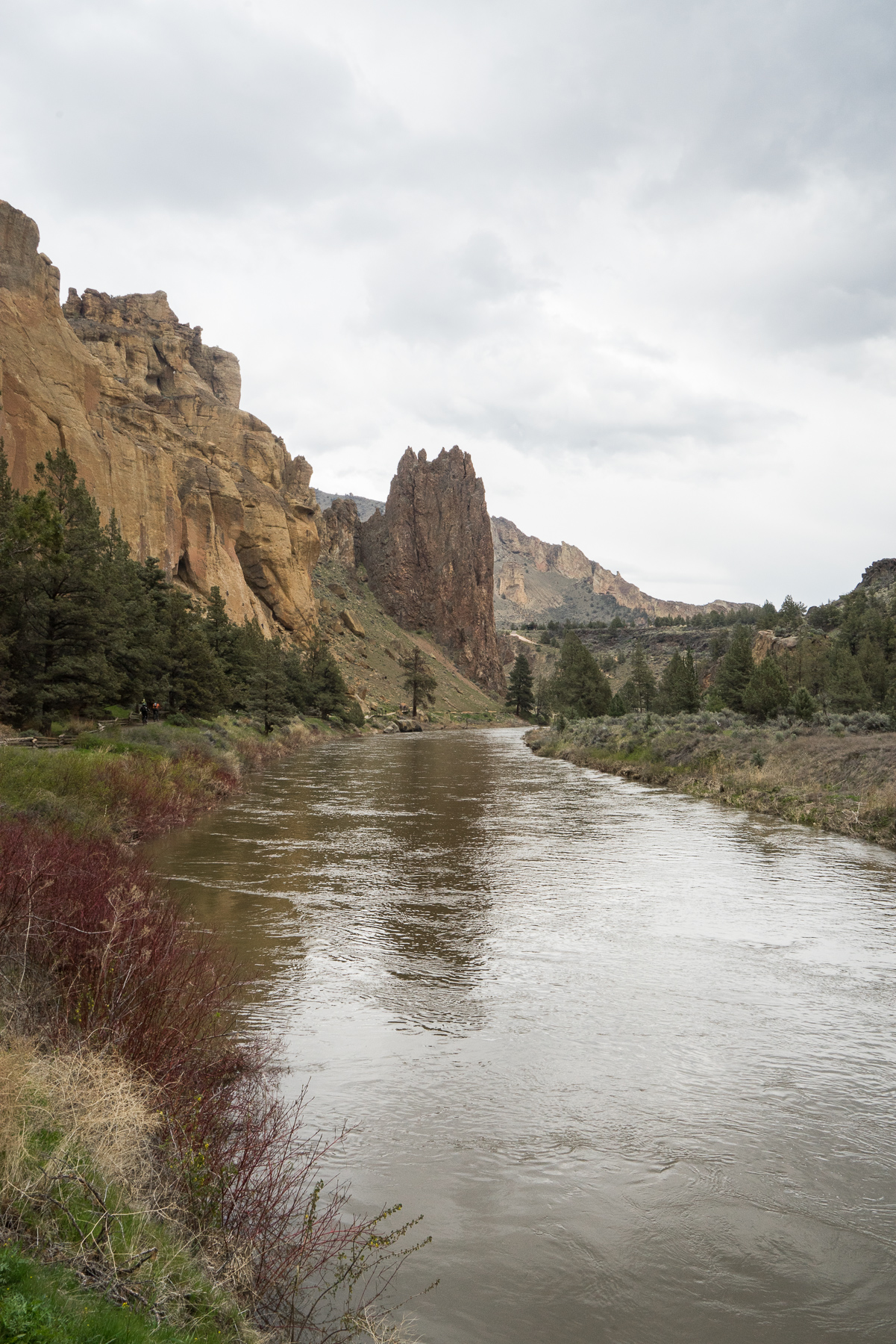
At the bottom of either trail, you’ll reach a wide grassy area. As mentioned, during the summer months a water fountain can be found here for bottle refills. Follow the trail straight to cross over the Crooked River via the bridge.
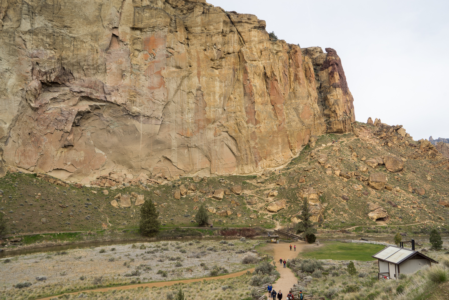


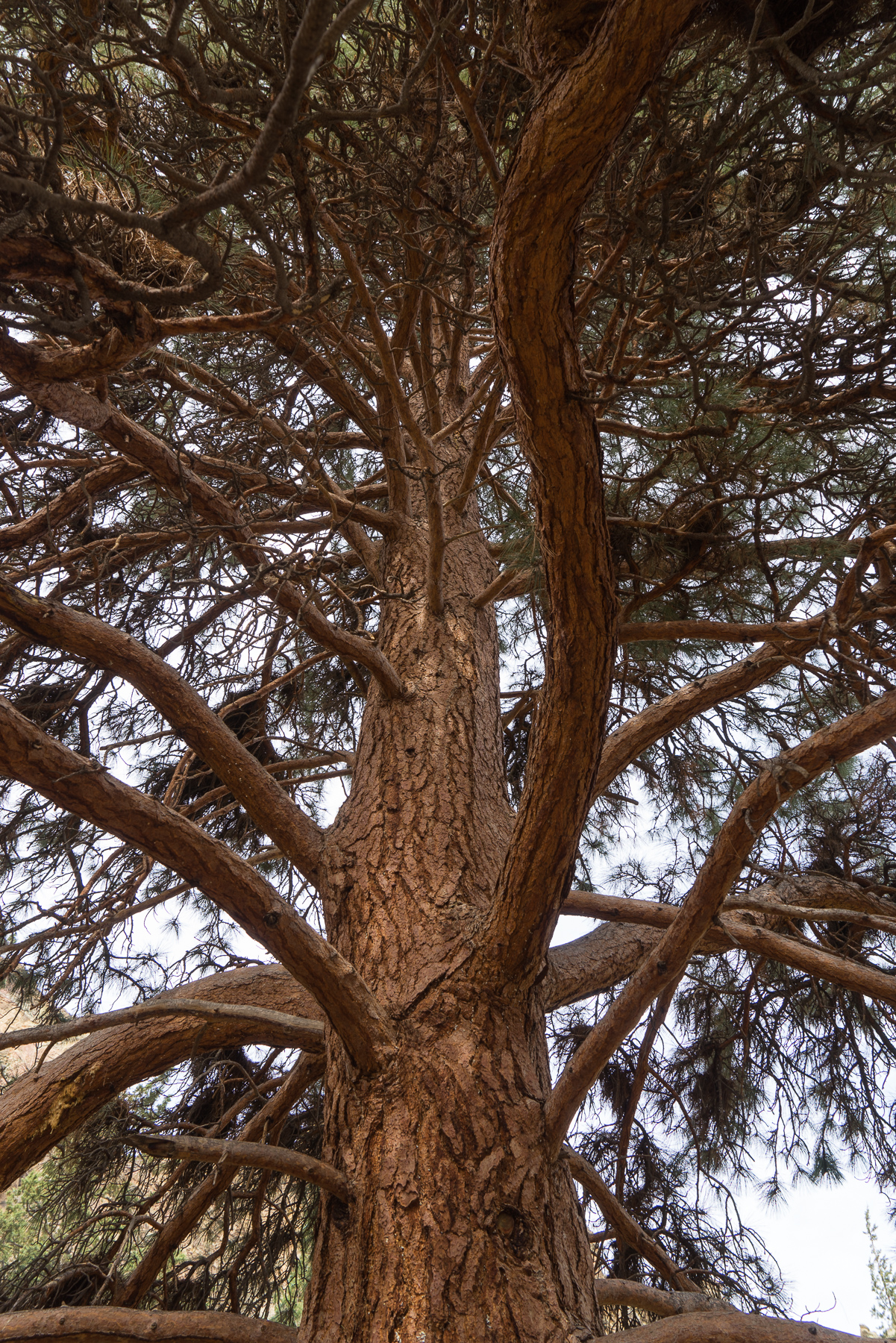
Immediately after the bridge, you’ll reach your next trail intersection. Here, take a right on the Wolf Tree Trail, which will follow on the river for a pleasant and easy walk of one mile. This section features great views along the river, looking towards towering rock walls as well the Monument seasonal climbing area (which, like many areas in the park, are off-limits to climbers for part of the spring and summer due to Golden Eagle nesting).


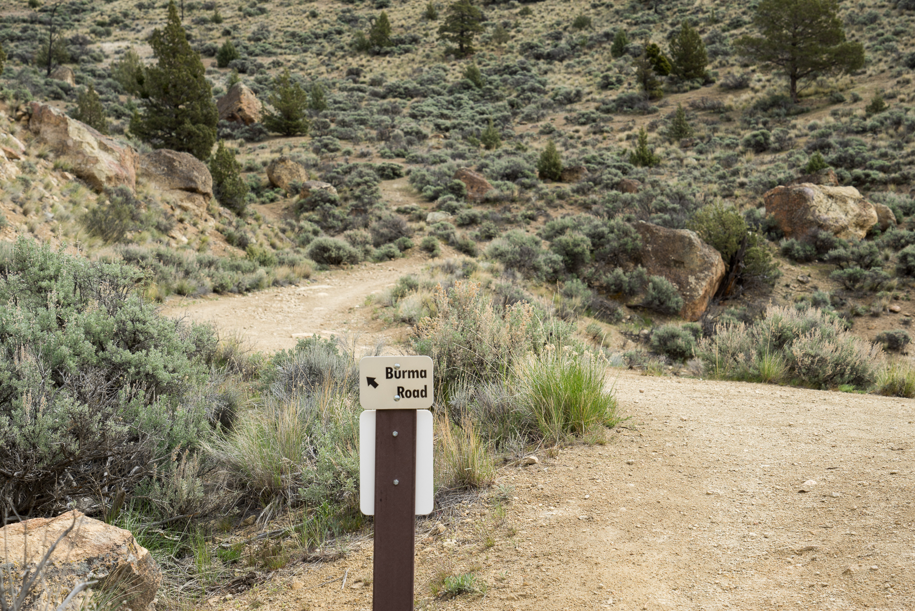
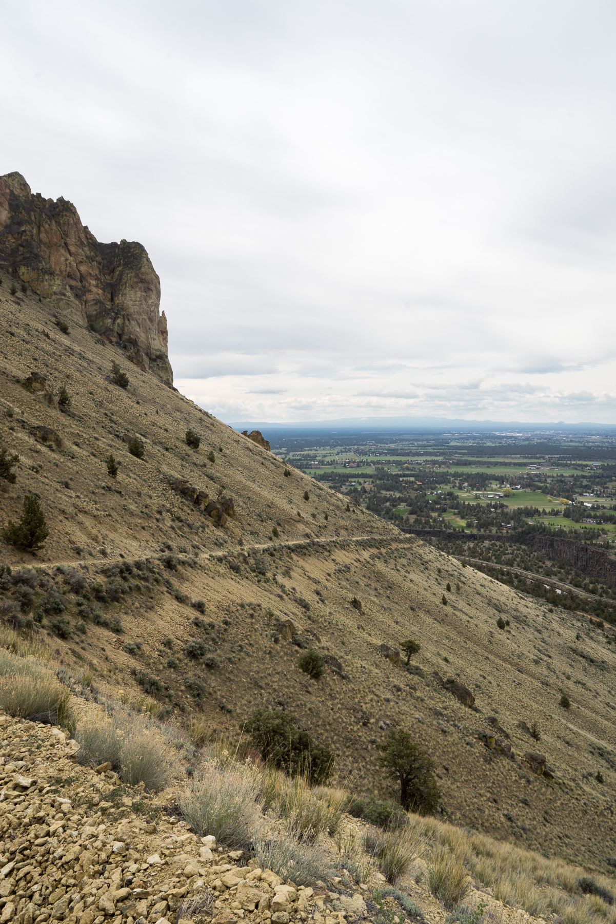
Gradually, the trail will begin to ascend and leave the riverside, eventually coming to a junction with several side trails leading to climbing spots. Follow the main (much larger) trail, staying to the left toward Burma Road at the signed junction with the Student Wall. At this point, the trail will steadily gain elevation, which luckily also coincides with amazing views of the Smith Rock area and beyond.

Go left at the fork towards Burma Road.

After .2 miles on Burma Road you’ll come to an irrigation canal, which can move very swiftly at certain times of year. Stay to the left to cross over the canal tunnel, and continue on the Burma Road Trail.

As you continue hill, you’ll shortly cross a boundary taking you into BLM land and out of Smith Rock State Park. As you get higher on the (admittedly) very uphill climb, the views get better and better. On a clear day, several glacial cascade peaks are visible, including Mt. Jefferson, Three Fingered Jack, Mount Washington, North Sister, Middle Sister, South Sister, and Broken Top.
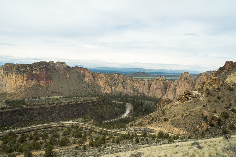

At 2.5 miles into the trip you’ll (thankfully) reach the summit, and coincidentally the beginning of the Summit Trail. On a nice day, this is a great spot for a lunch break. Several large flat boulders offer the perfect spot to sit and enjoy the expansive views of the region.

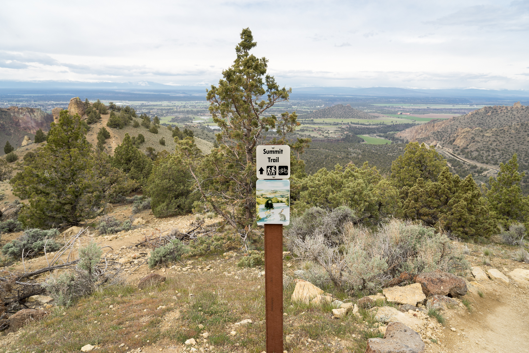
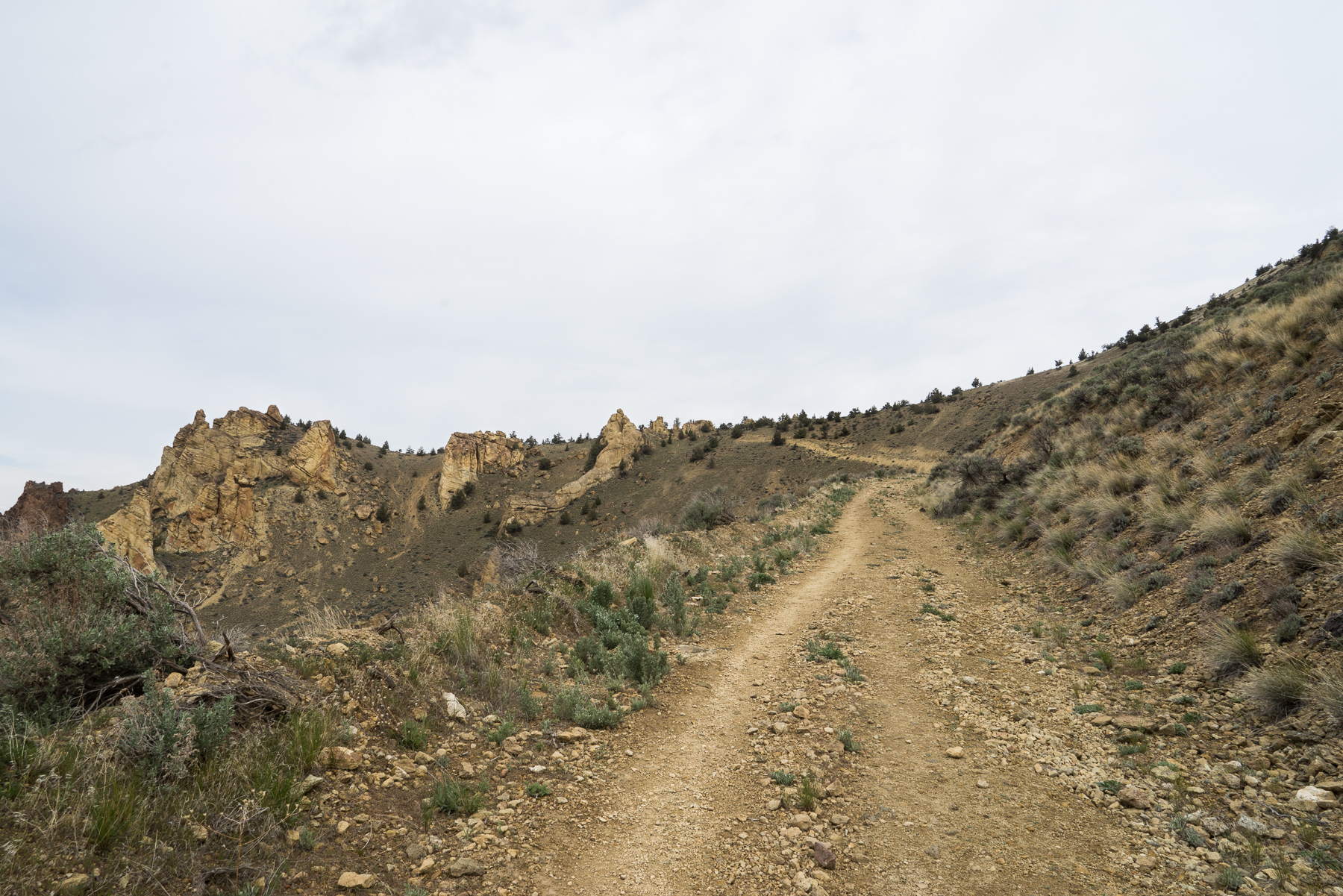
The start of the summit trail begins just beyond the top of the Burma Road Trail. From this point, it’s almost all downhill. As expected, this section of the trail continues to feature fantastic viewpoints into the Smith Rock canyon as well as northward towards Grey Butte.

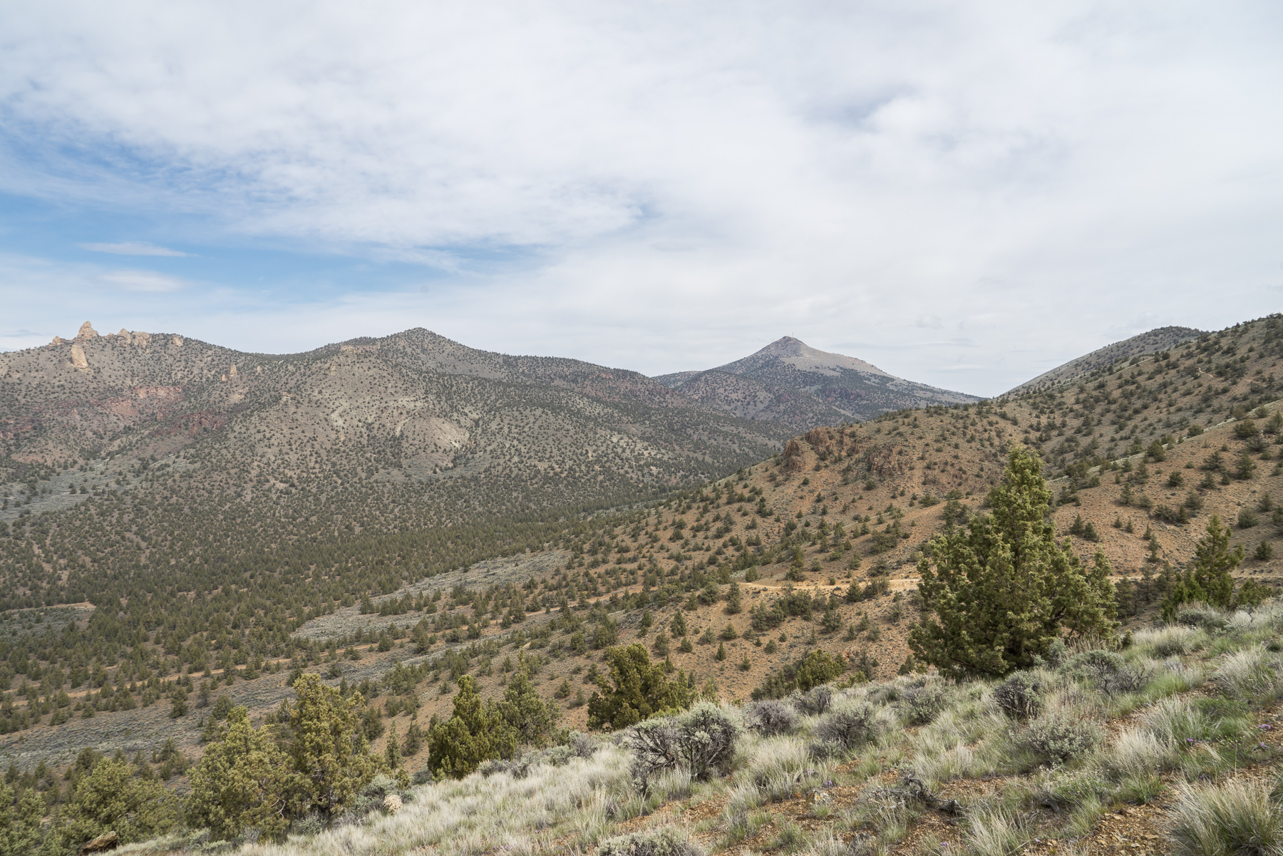
Grey Butte in the distance (middle/right area with antennae).
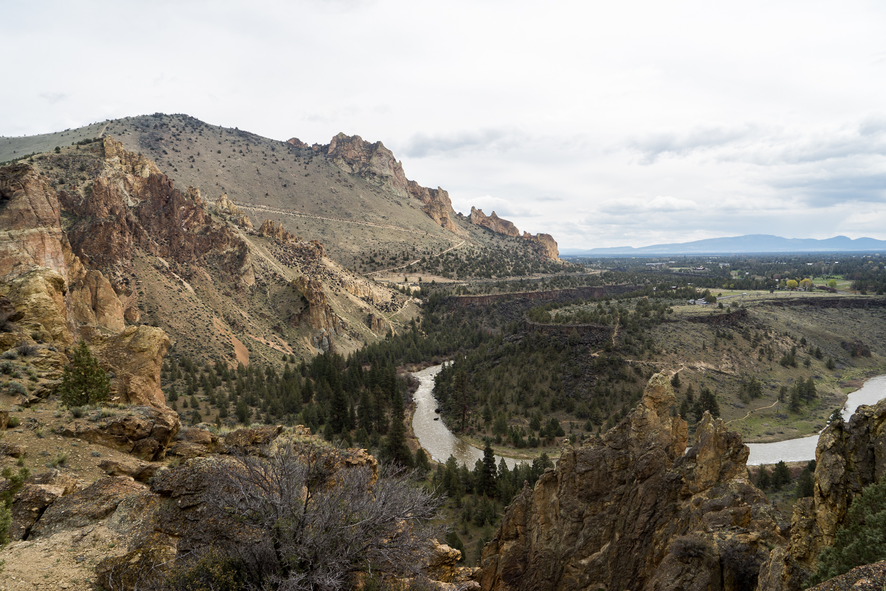
The Summit Trail offers a unique viewpoint to view two different geological formations within the area. To your left you’ll see the stark and dramatic cliffs of Smith Rock, and to your right rolling hills of sage and juniper. As you descend in elevation, you’ll travel through thicker stands of juniper.


At 4 miles into the hike, the summit trail passes a short Summit Loop viewpoint side trail. Staying straight instead of taking the sharp right to stay on the Summit Trail, it’s worth spending a few extra moments taking in the view.

Retracing your steps to return to the junction with the Summit Trail, stay to your left to continue downhill. From here, stay on the Summit Trail for roughly 1 mile until you reach the junction with the Mesa Verde and River Trails. At the three-way junction, continue straight onto the River Trail. Once again, you’ll follow the banks of the Crooked River, which provides great opportunities to view birds (and climbers) in their natural habitat.


Blue Egret
Staying on the River Trail, you’ll pass several side trails to various climbing spots. Several notable routes are visible from the trail, offering a great opportunity to view climbers scaling (somewhat scary) cliff faces.

Eventually, you’ll once again reach the bridge you took earlier. From this point, retrace your steps back over the river and up the Canyon or Chute Trails. Again coming to the Rim Rock Trail, take the junction to your right and return to the parking lot (and a good long rest).
Things to know:
–Map: I’ve found this map provided by Oregon State Parks to be great.
–Weather: Look at conditions before you go! While it gets very warm during summer days, the high desert of Oregon can also be very cold during the winter. Smith Rock is a great place to visit during the winter, but plan for possible ice and freezing temperatures (but on the plus side, you might have the place all to yourself).
Tags: central oregon, Climbing, day hike, desert, dog-friendly, geology, high desert, Hiking, nature, oregon, outdoors, pacific northwest, Trail Write-Ups